We packed our cases and headed down to breakfast. I had a vegetarian Scottish breakfast as I wanted to try vegan haggis but it wasn’t that great.
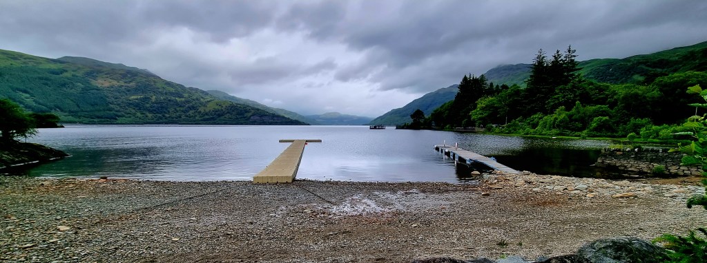
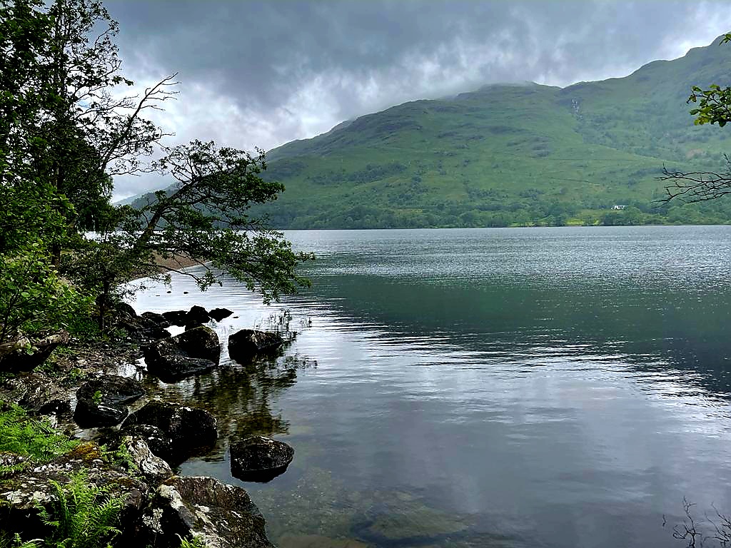
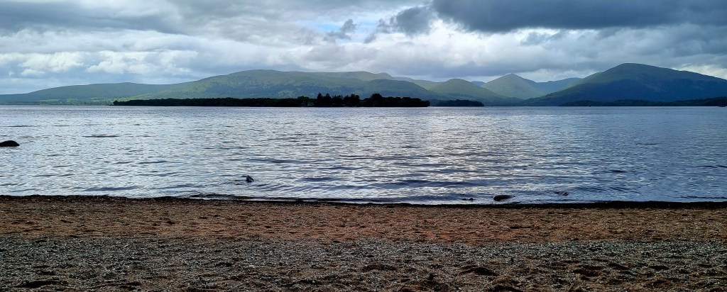
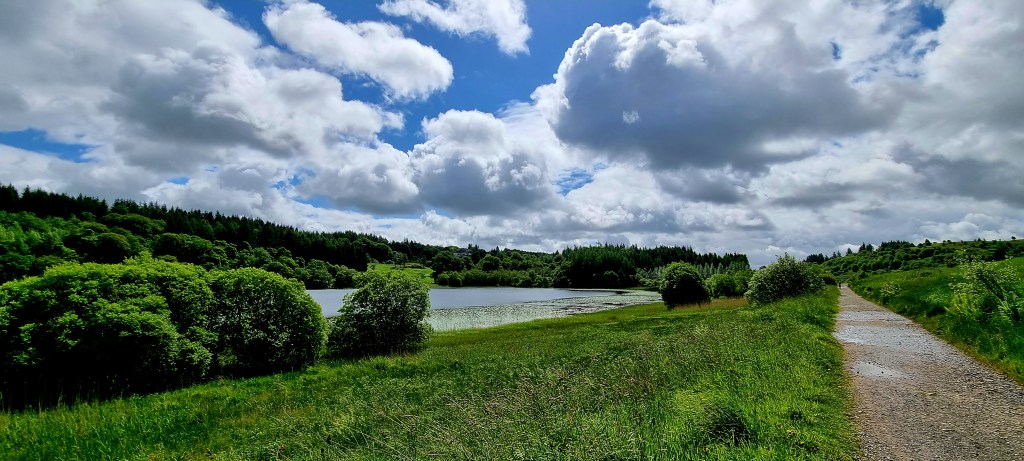
After taking a quick photos of Loch Lomond from our hotel, we headed off.
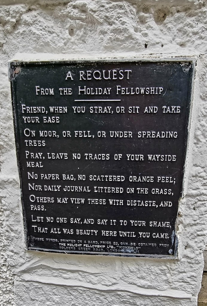
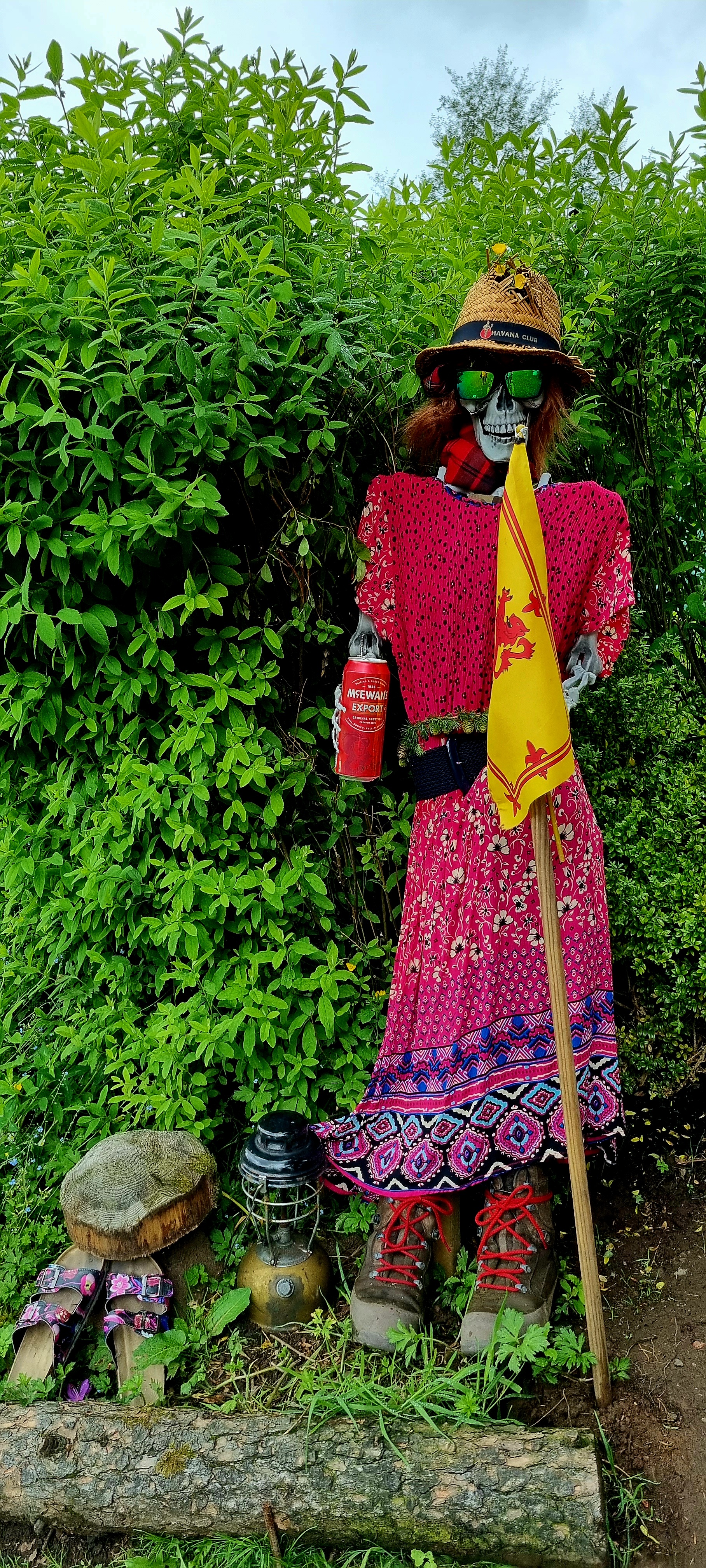
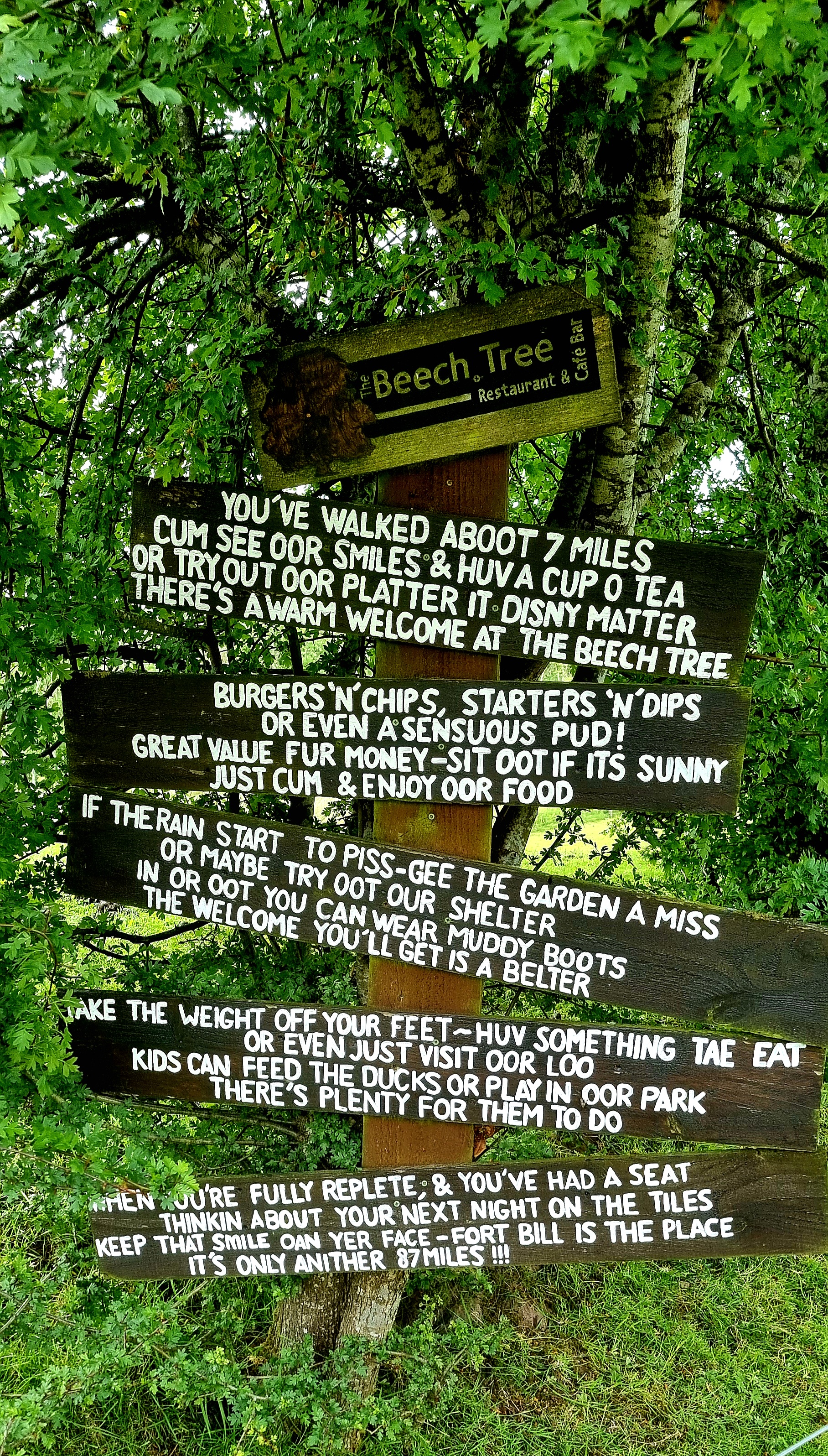
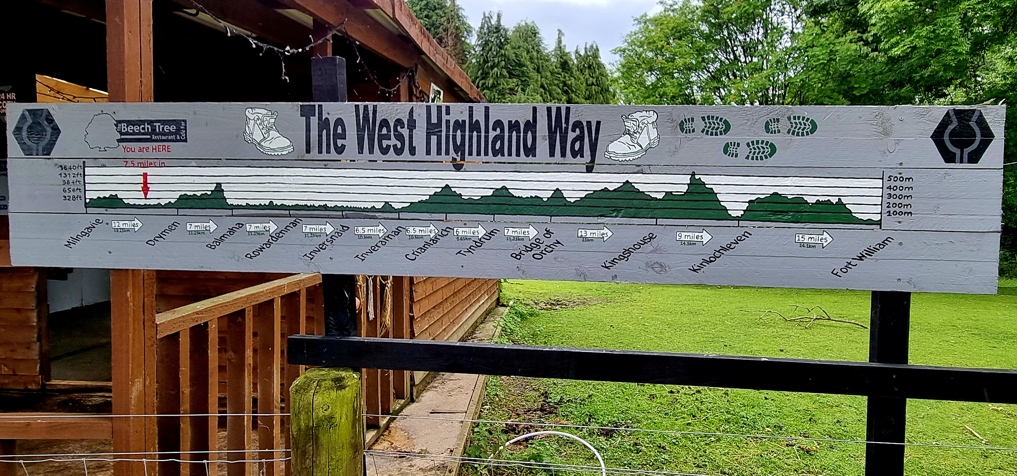
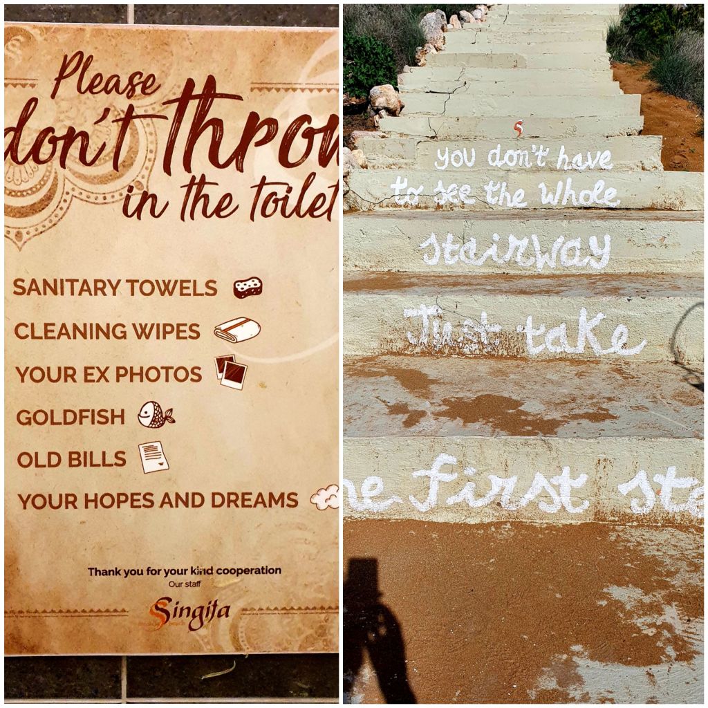
Just as we left Rowardennan I spotted this sign
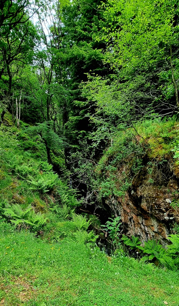
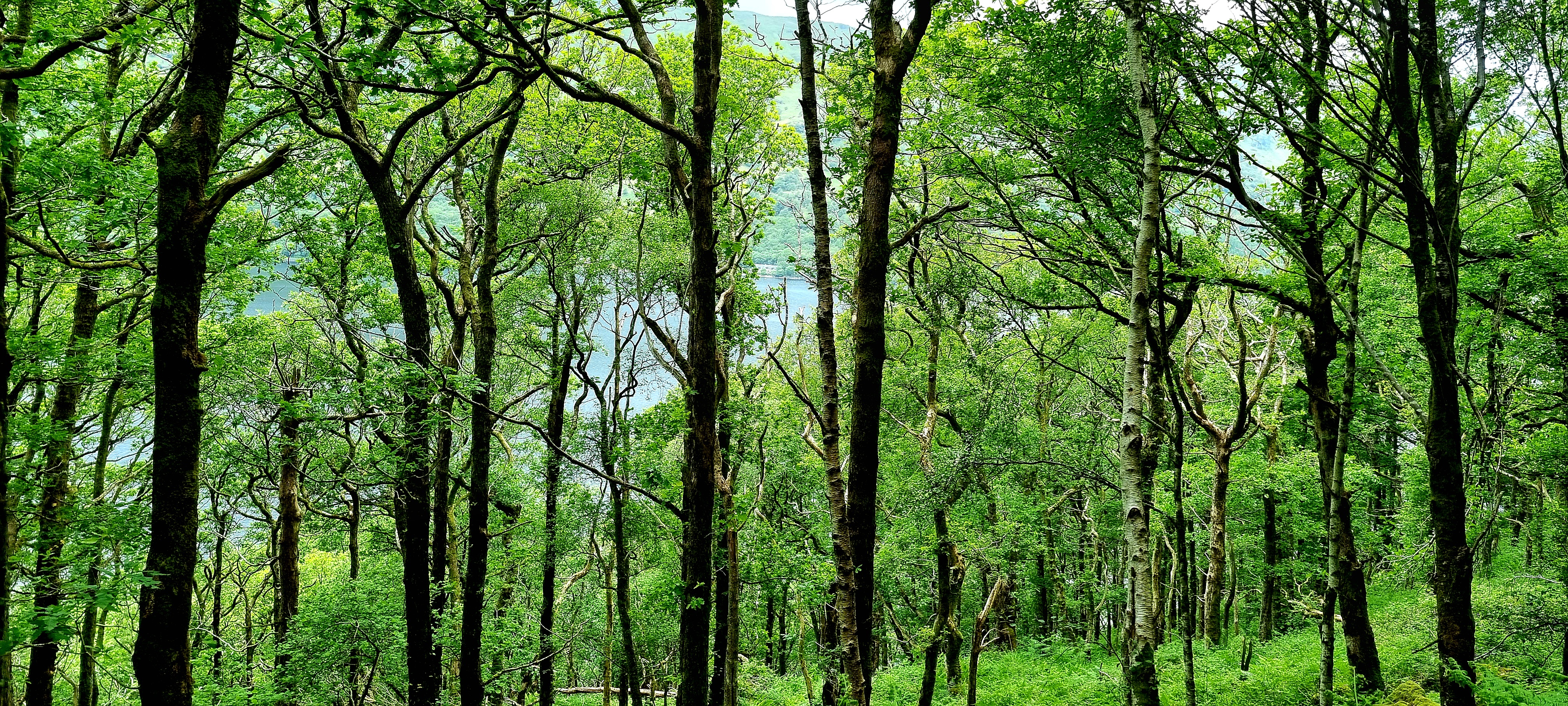
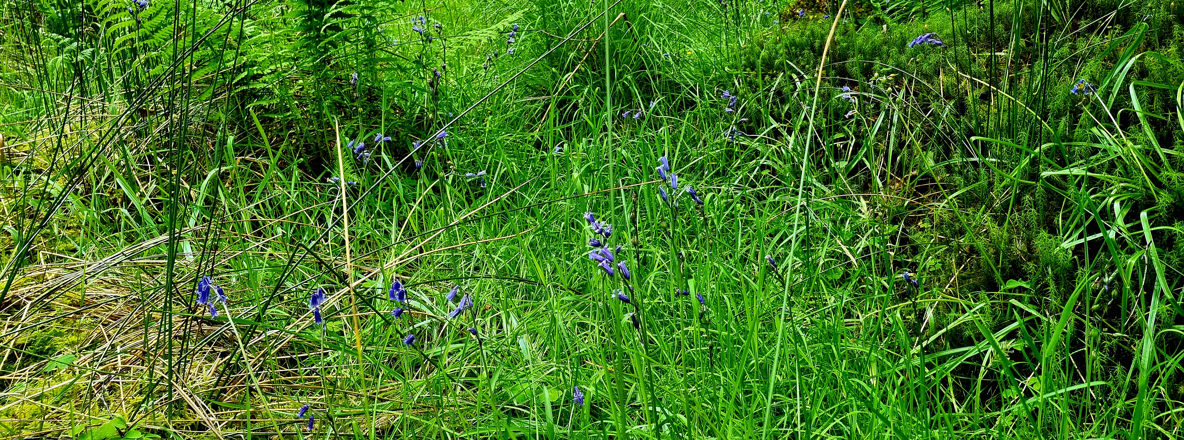
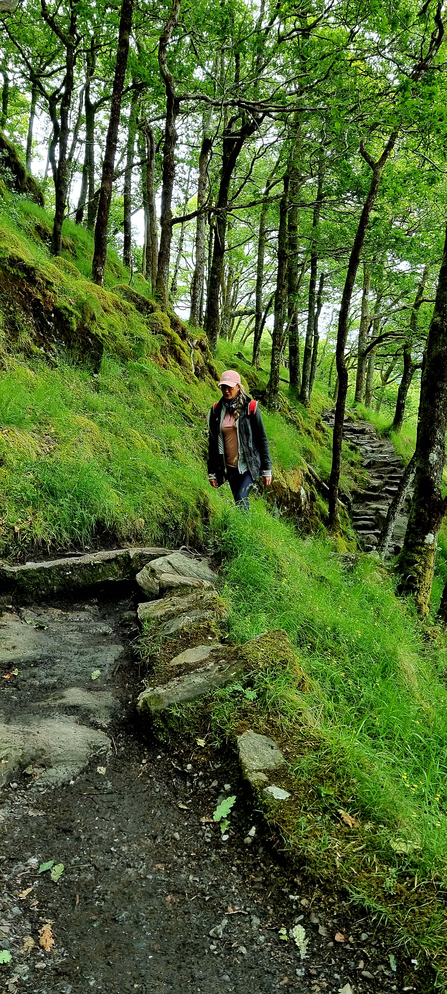
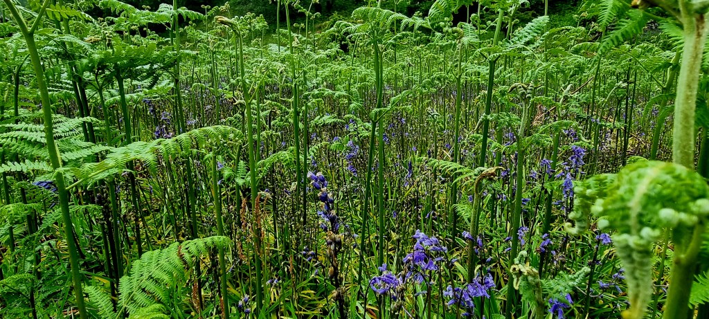
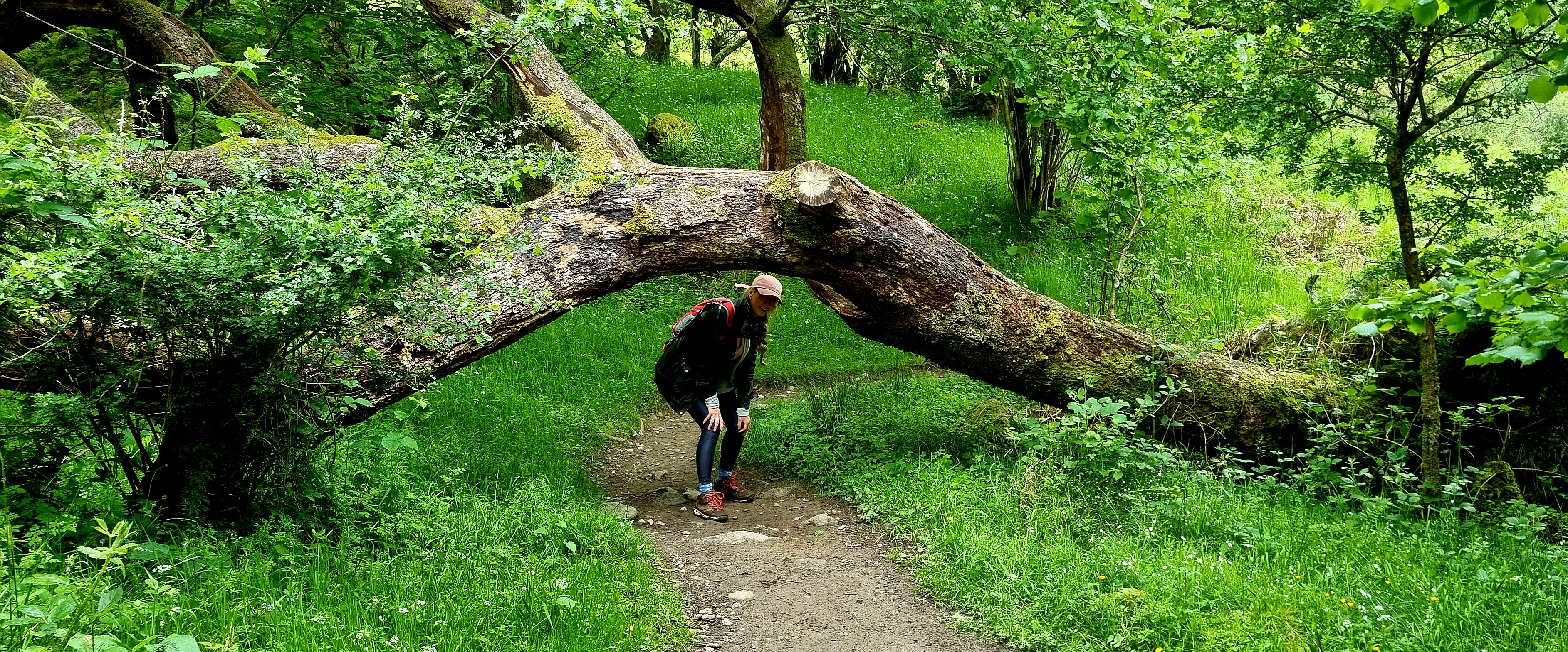
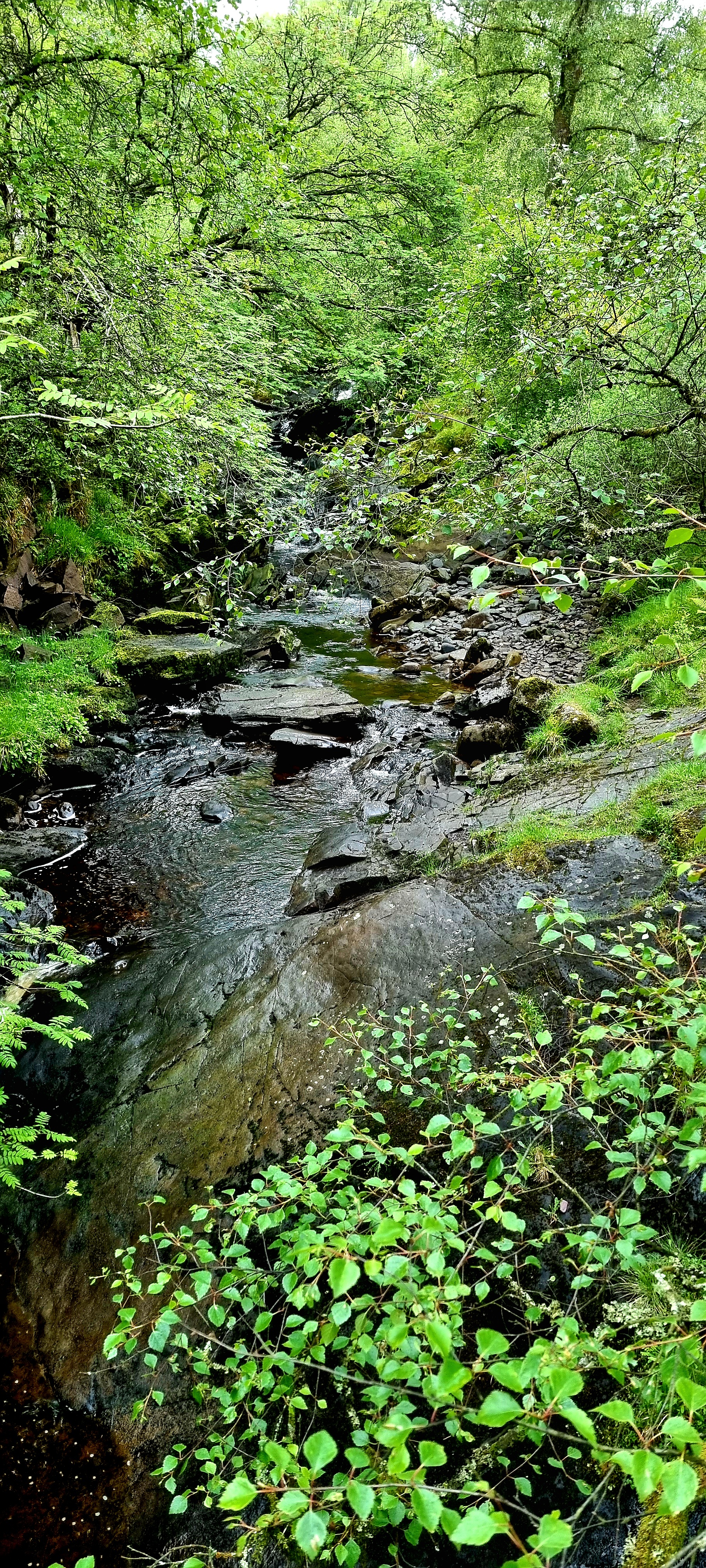
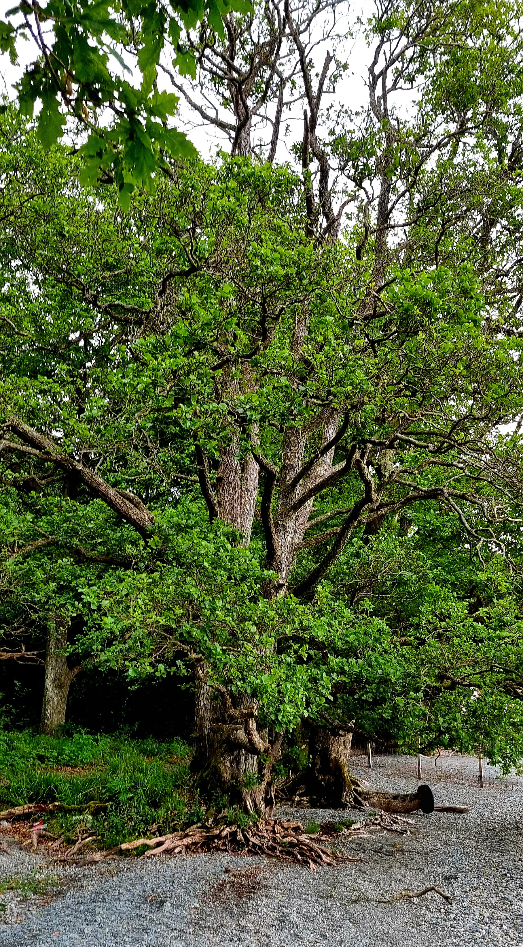
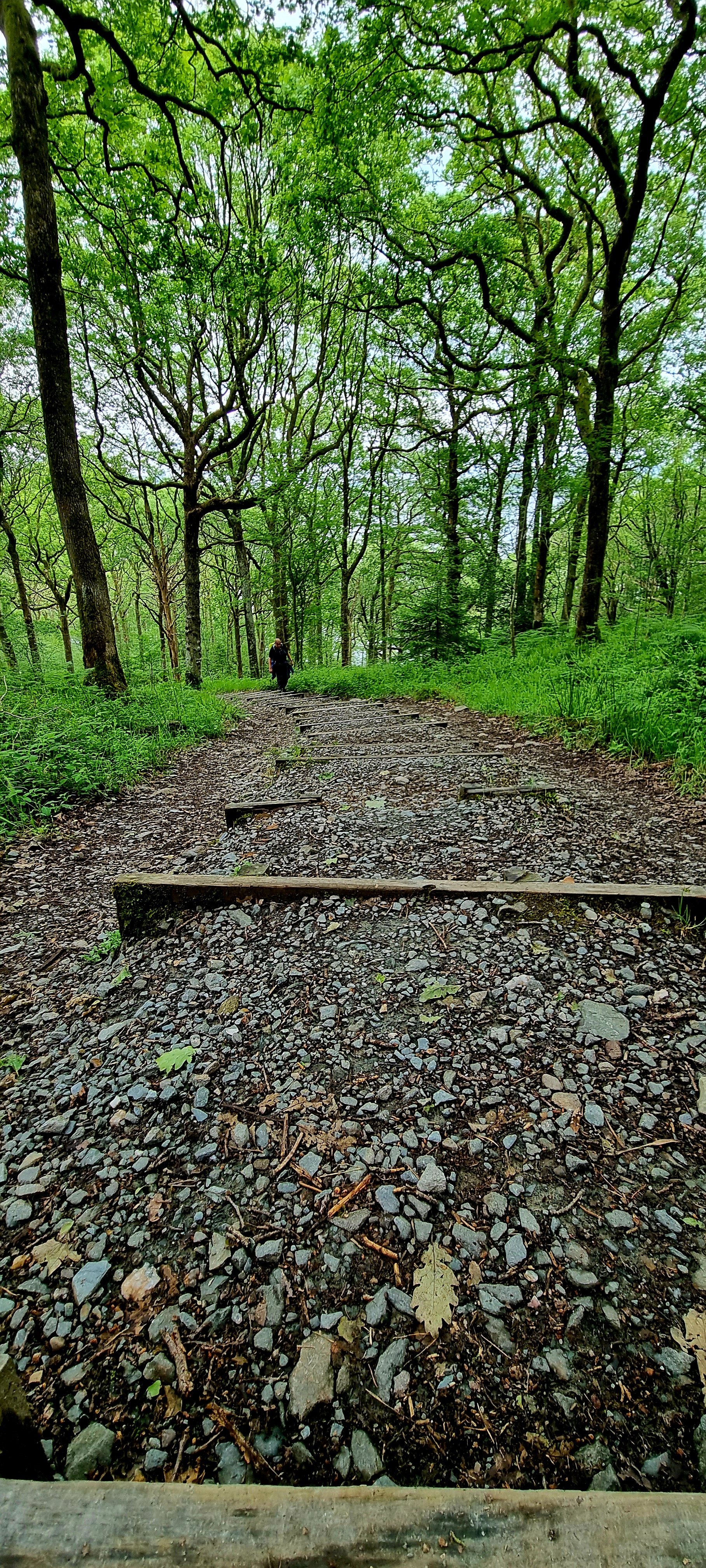
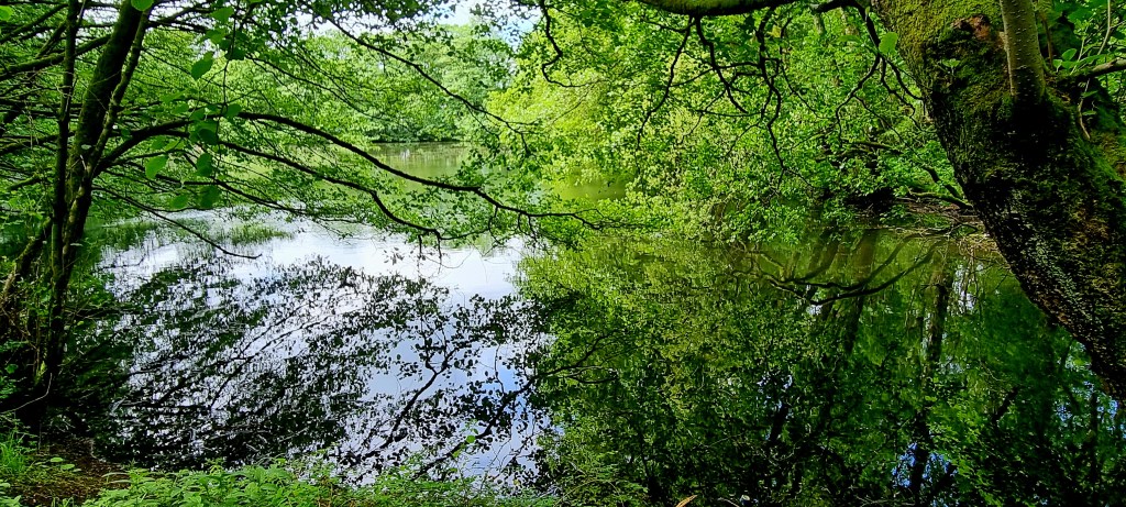
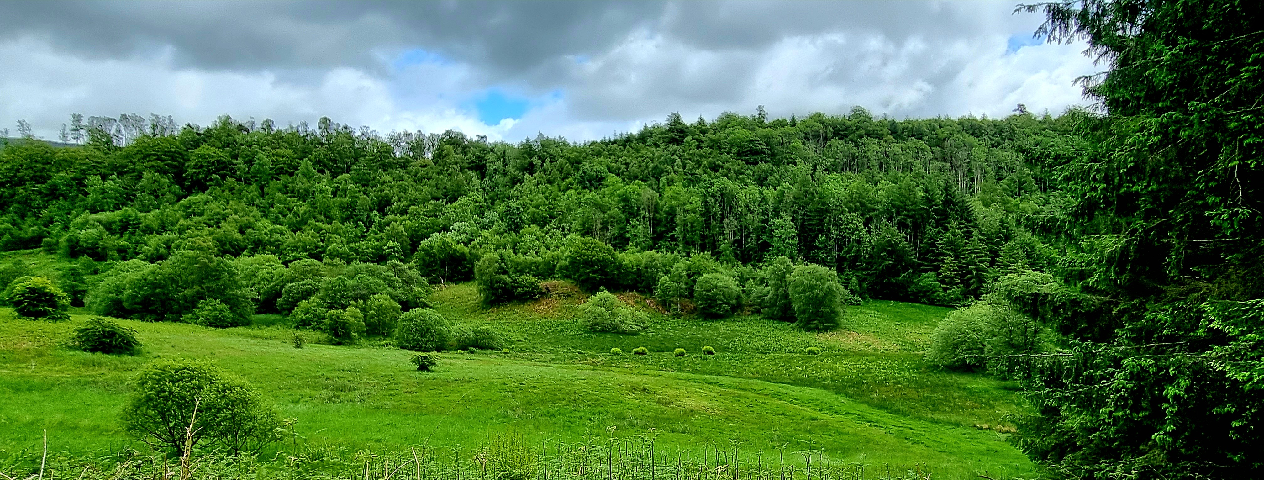
We walked through some gorgeous woodland.
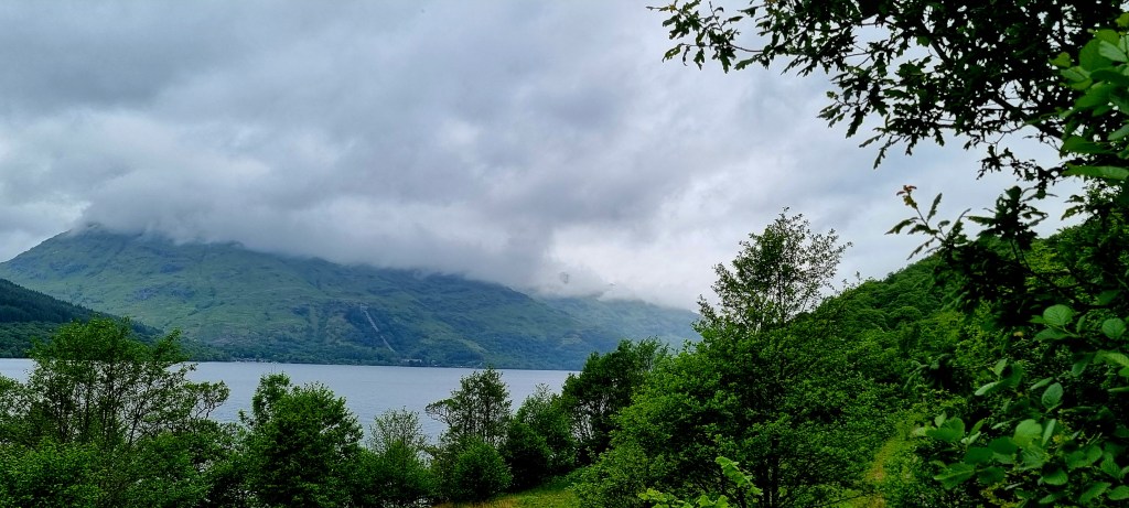
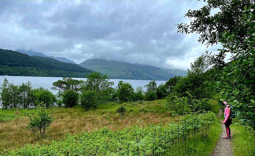
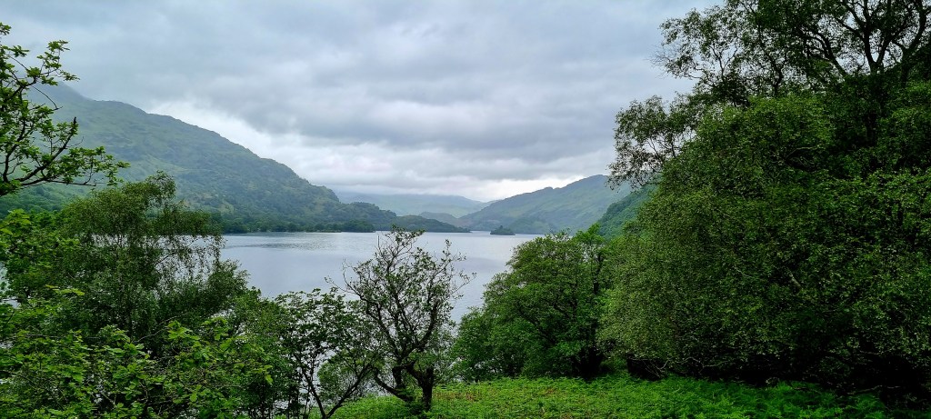
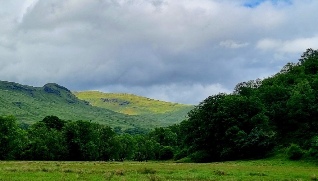
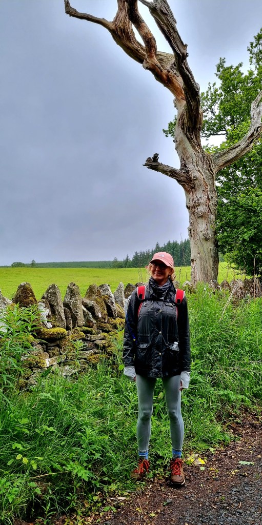
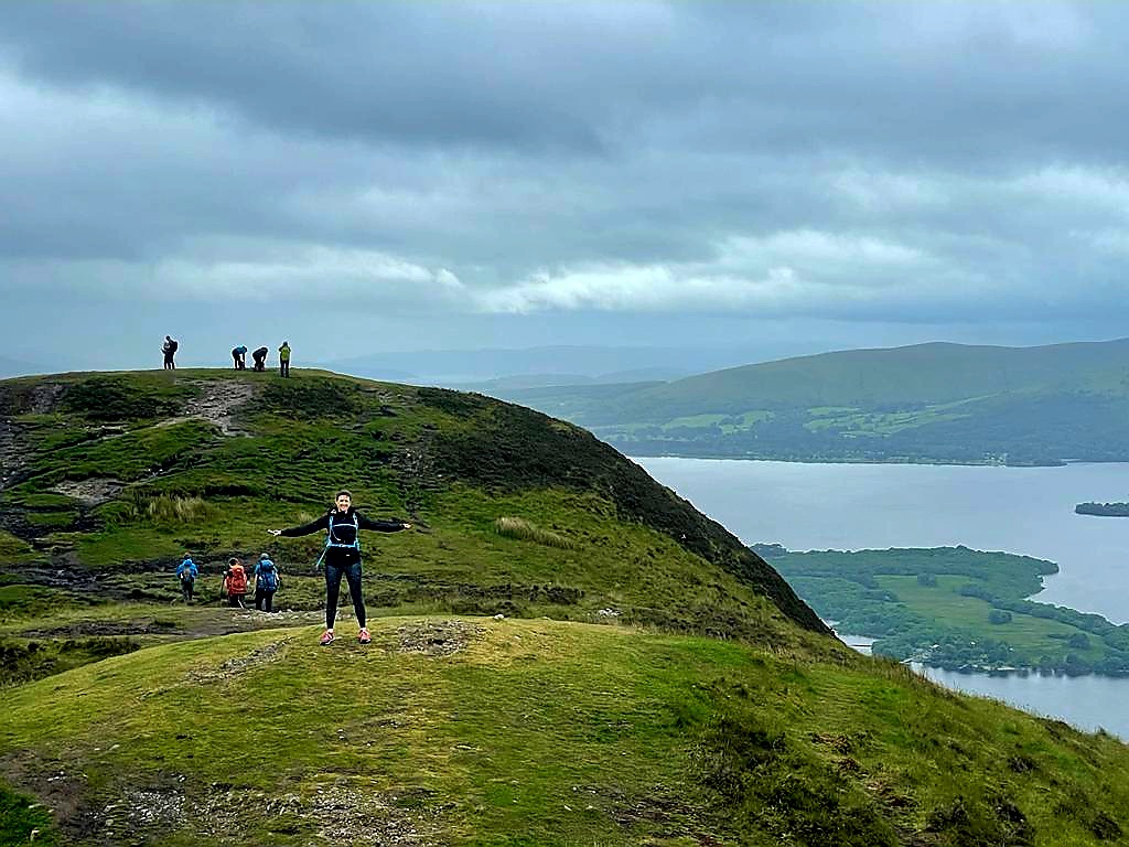
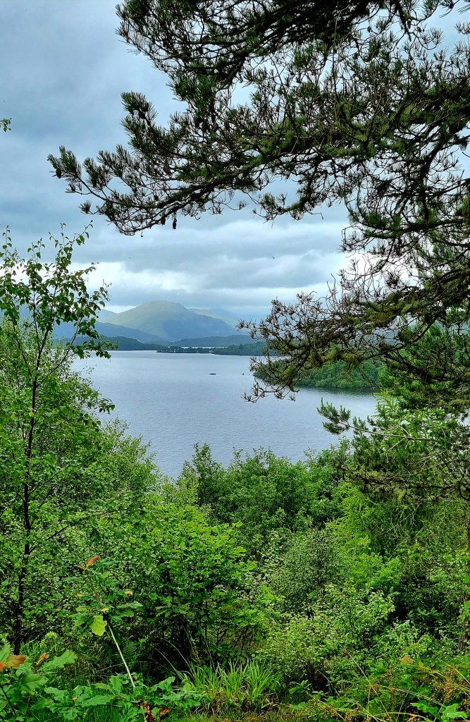
At a fork in the path we decided to take the high route over Ben Lomond rather than the low route, as we had been told it was slightly shorter. We had some good views of the Loch again.
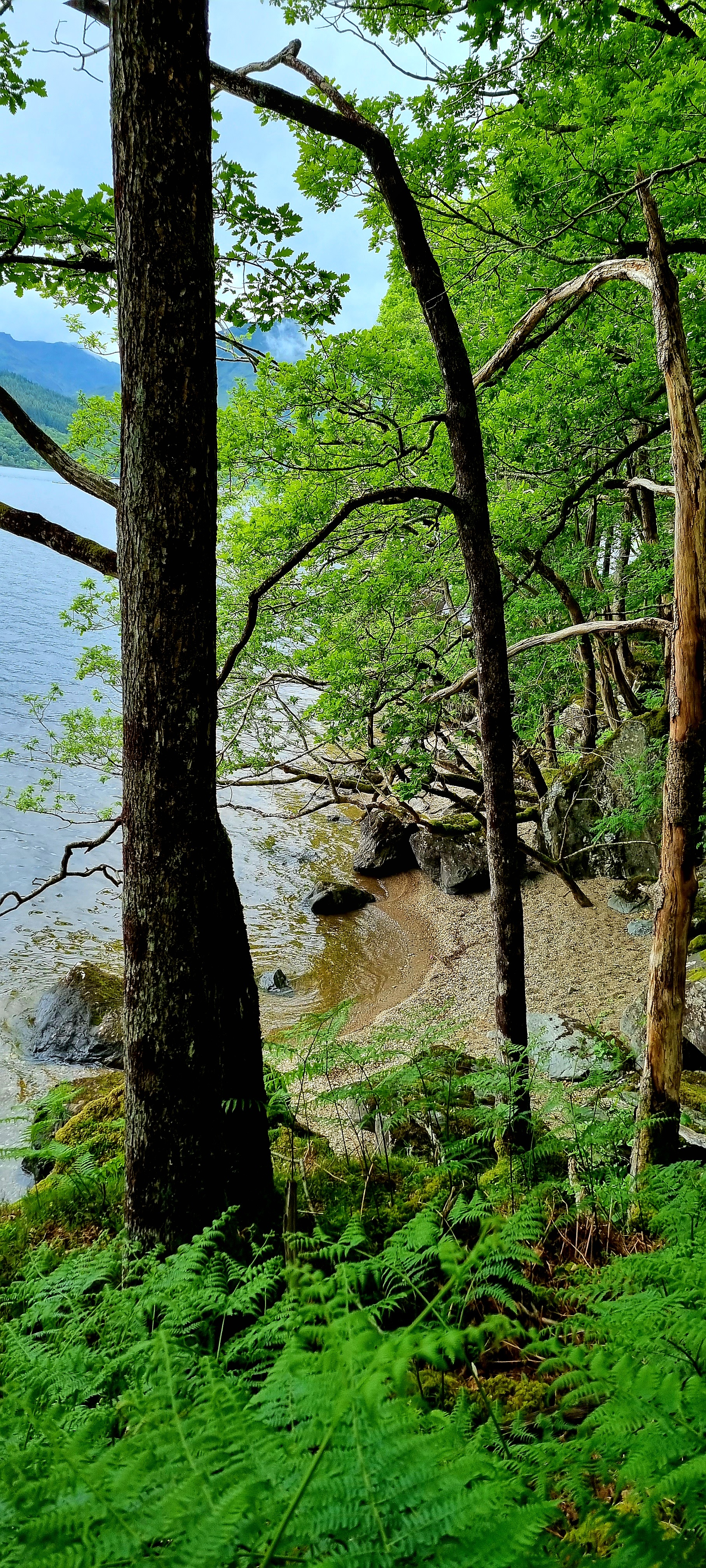
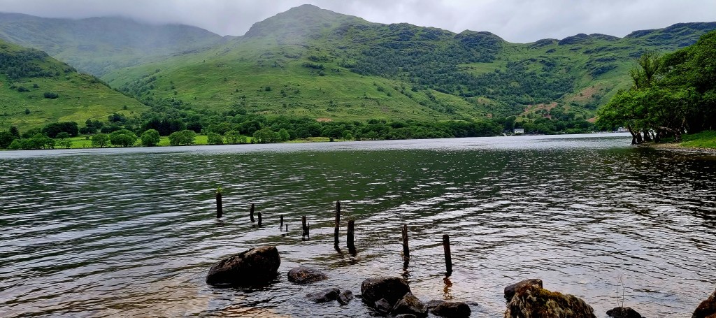
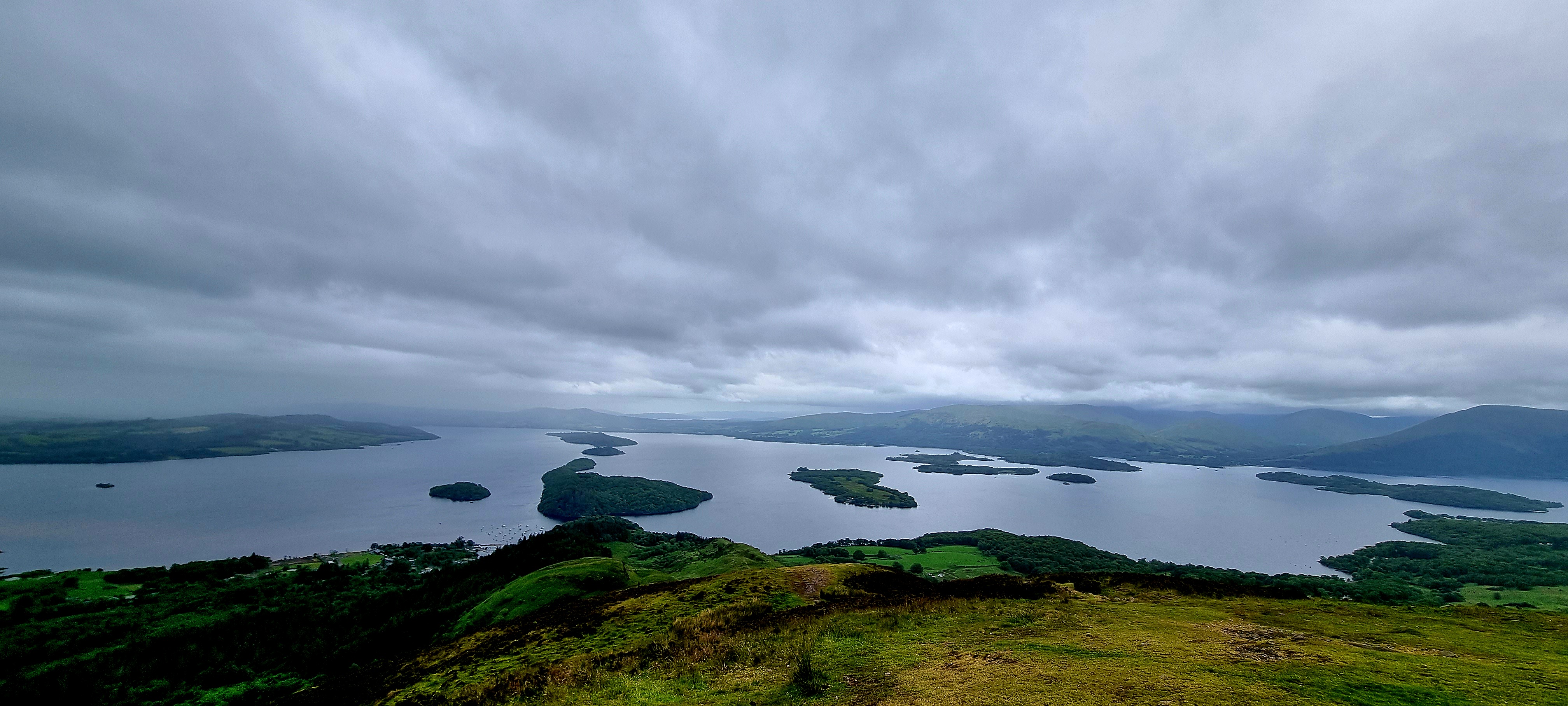
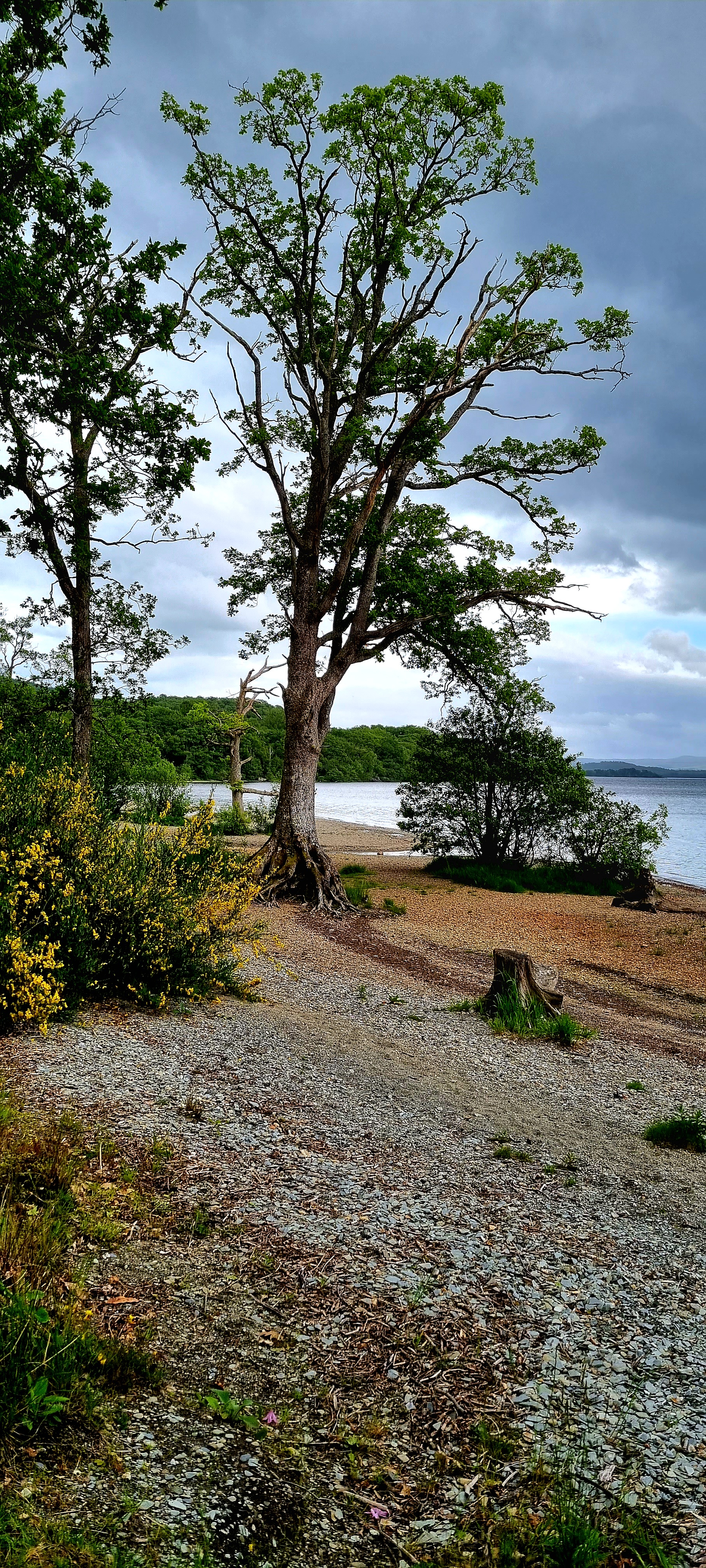
Loch Lomond has a surface area of 73km2 and has 24 islands. It is 36.4km long and around 1.8km wide and is the largest lake in Great Britain.
Eventually our high path joined up again with the low path.
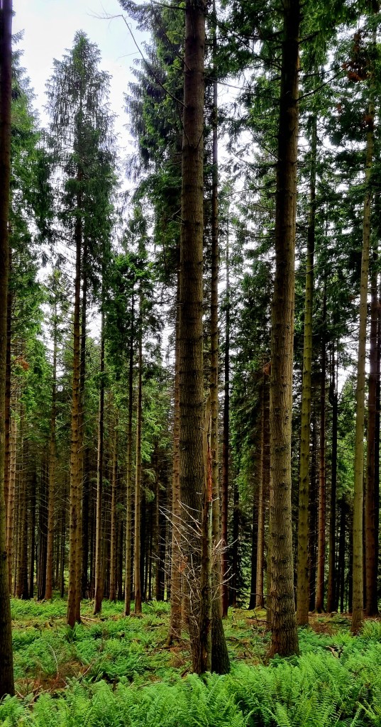
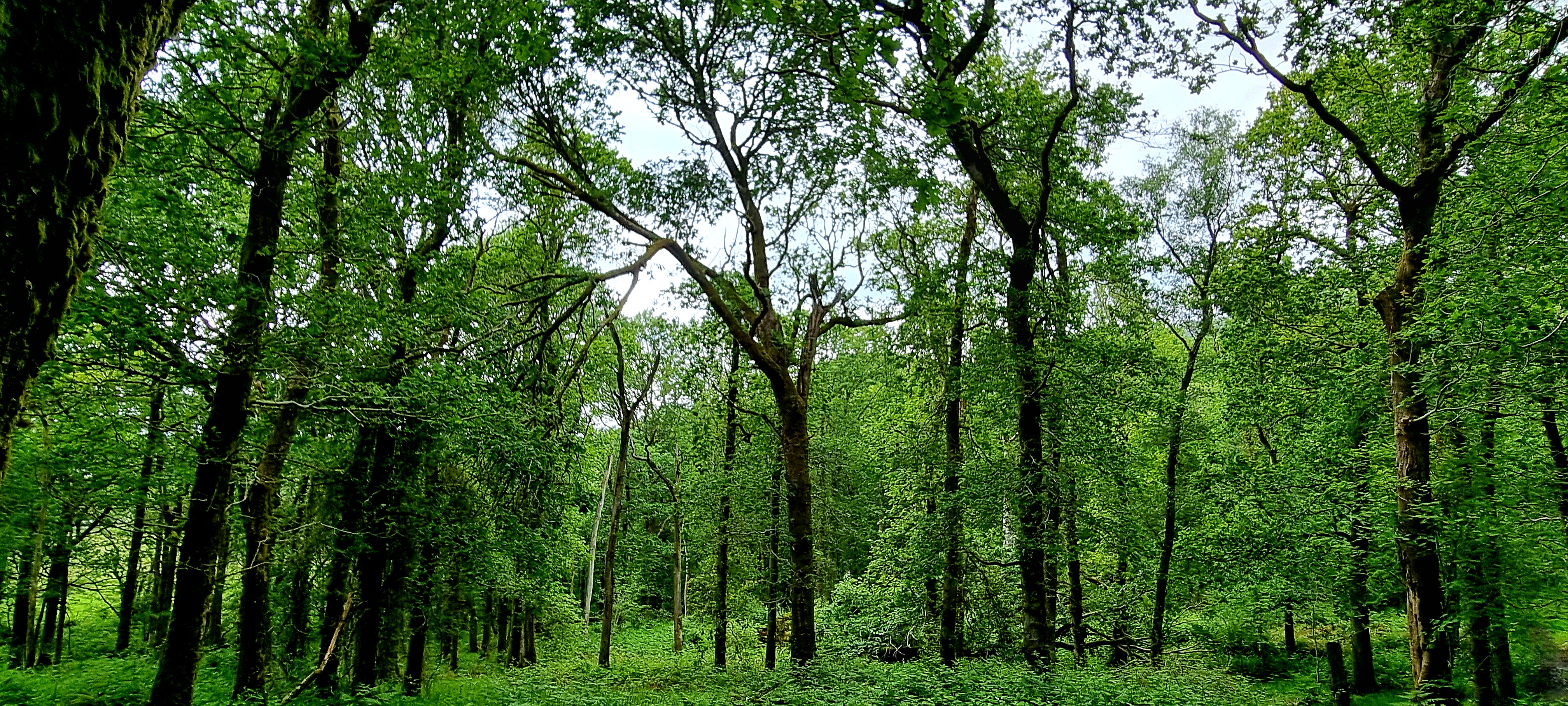
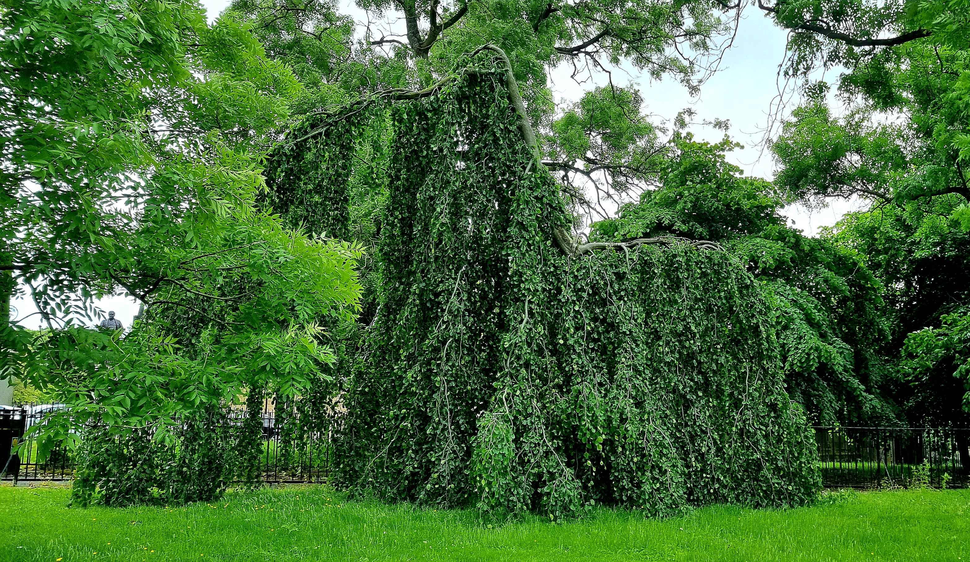
The woods we walked through varied between pine forests and deciduous woodland.
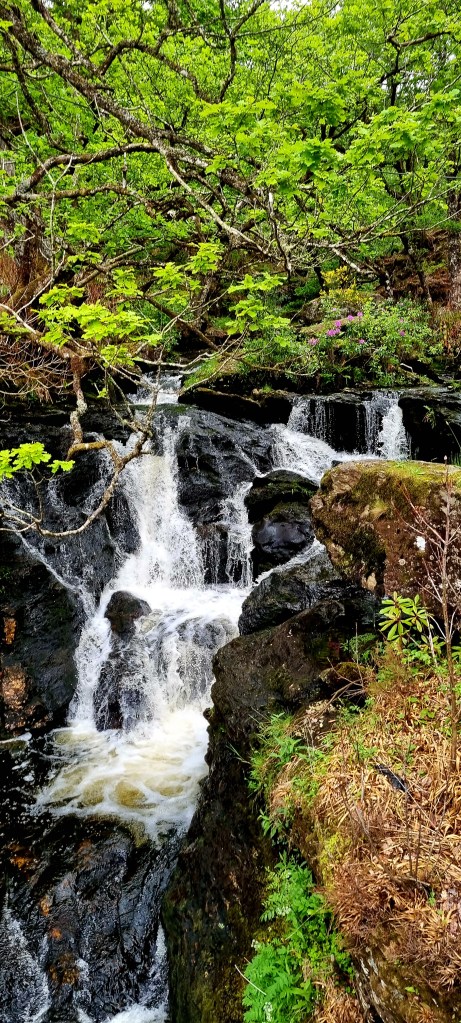
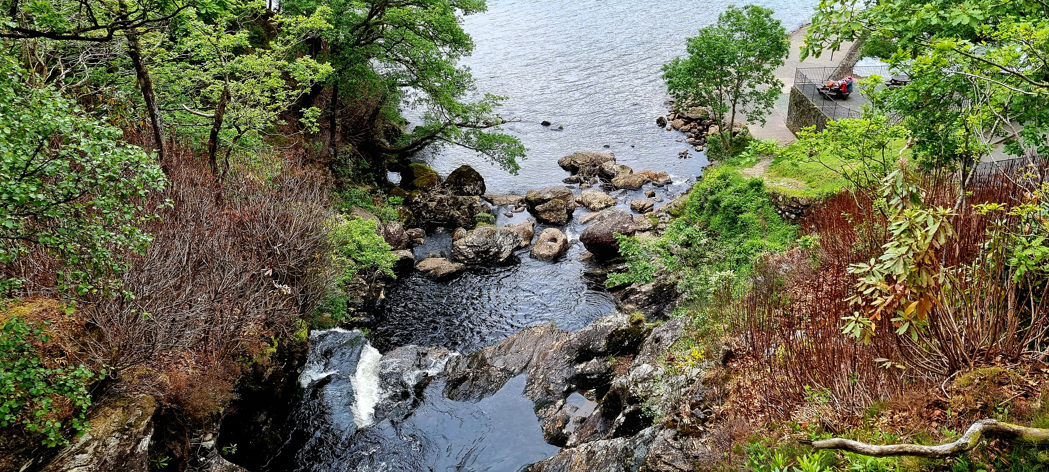
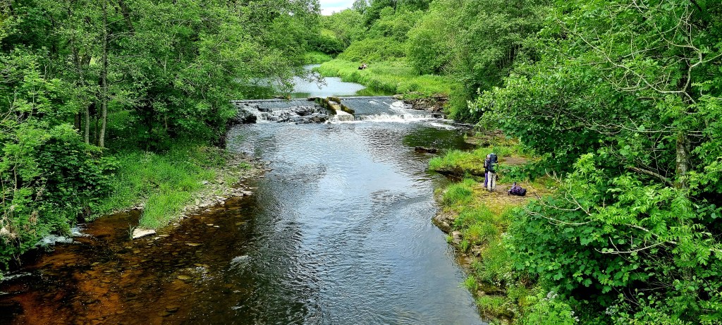
Around half way into our walk we reached Inversnaid which has a lovely waterfall that you walk across.
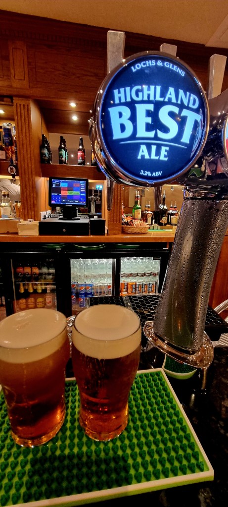
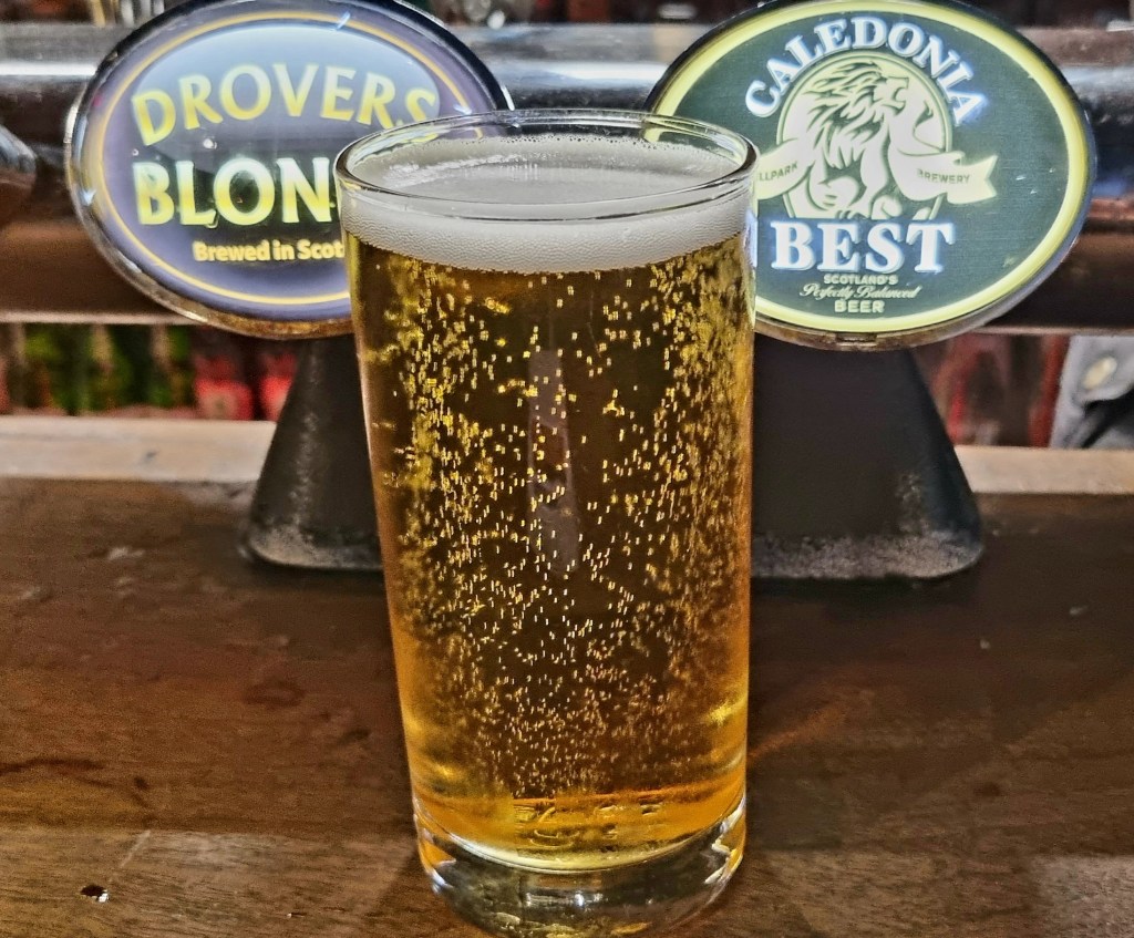
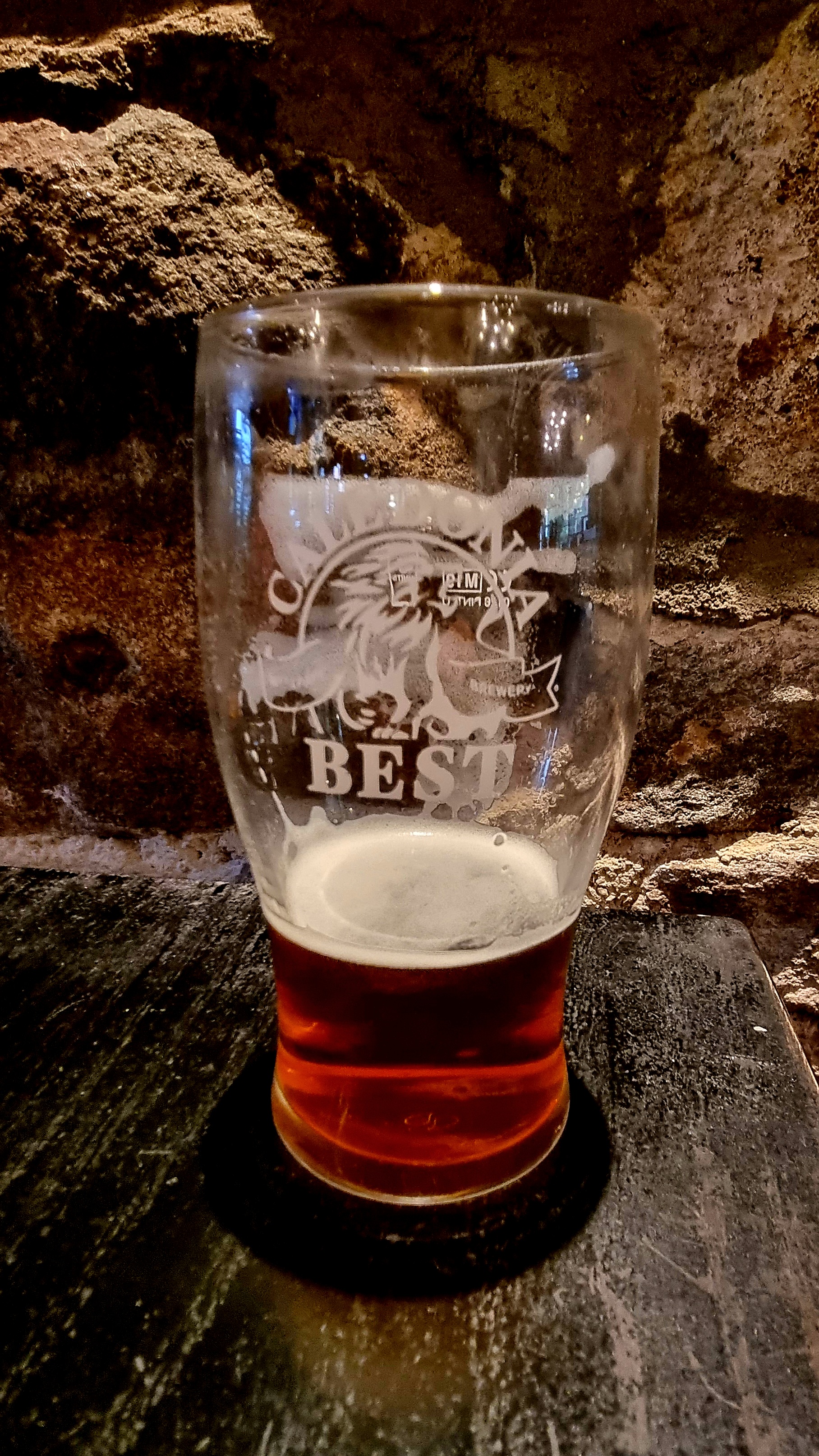
We stopped here to eat our lunch and try some more local beer.
It was actually really comfortable and we had to force ourselves to leave and continue walking.
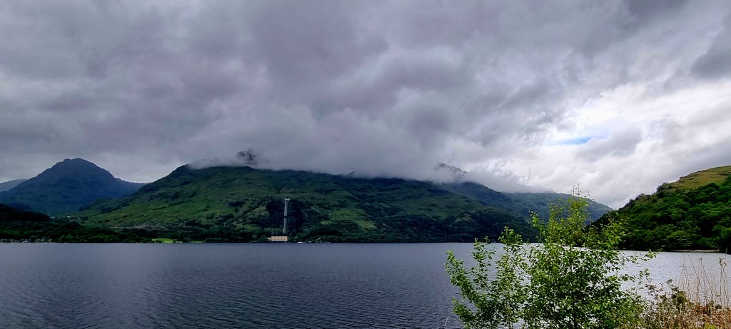
From Inversnaid you could look across the lake and see the Loch Sloy Hydro Electric Scheme which is the largest hydro electric power station in the UK. It is generally in standby mode,ready to generate electricity if there is a surge in demand.
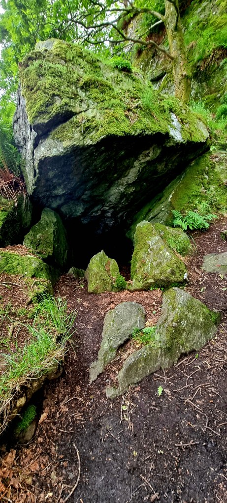
After a short while wecame across Rob Roy’s cave. Rob McGregor was an outlaw in the 1700s and this cave is where he hid.
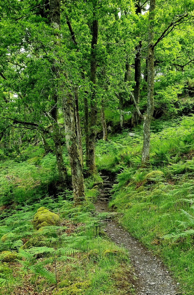
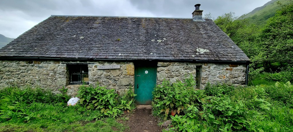
We wandered through more woodlands before reaching Doune Bothy. The paths were not that easy to navigate as they were full of slippery stones and mud.
Doune Bothy is a little hut that is open to walkers and has areas to sleep and rest. However. When we tried to open the door to have a look inside it was locked.
From the Bothy we followed the path down to the Loch.
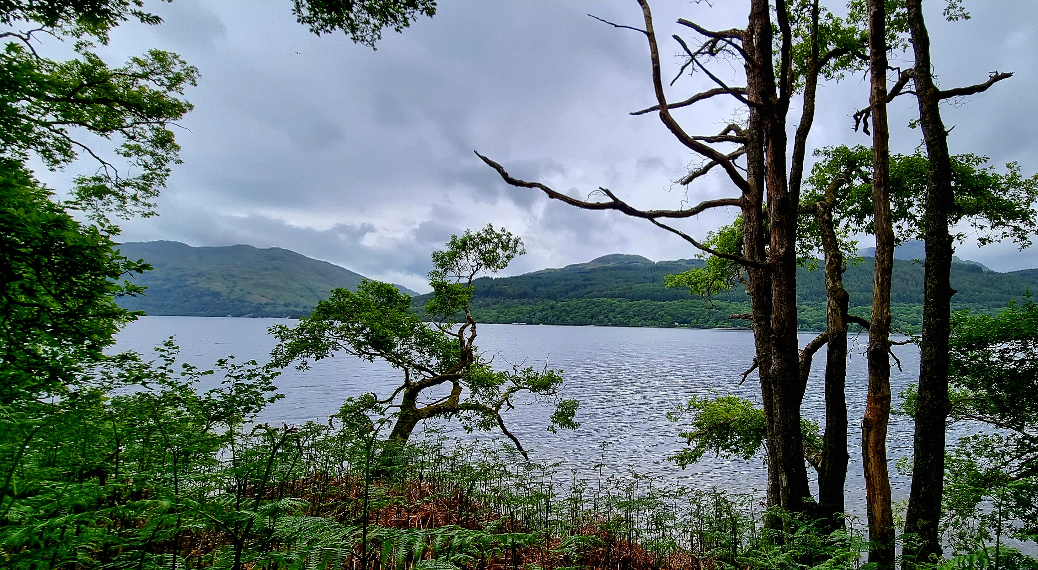
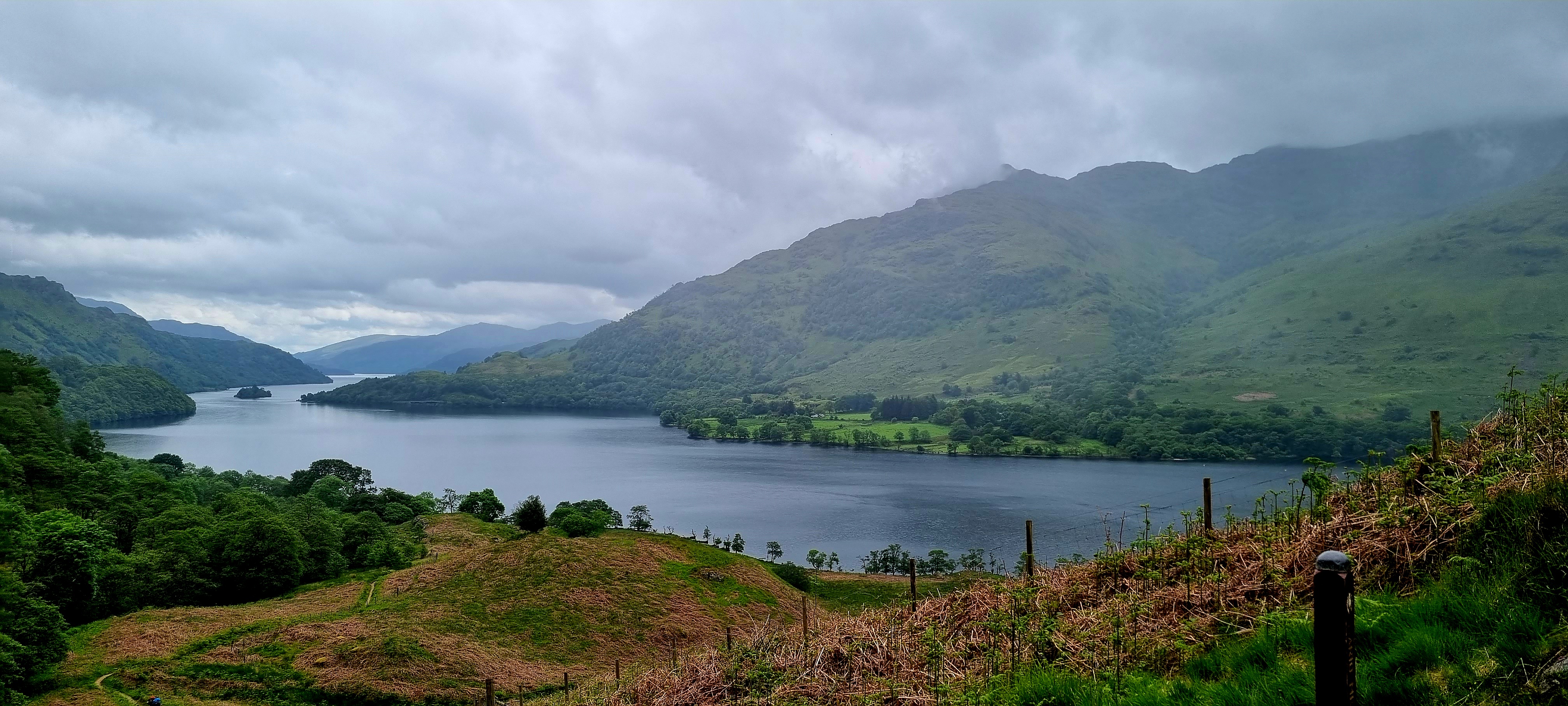
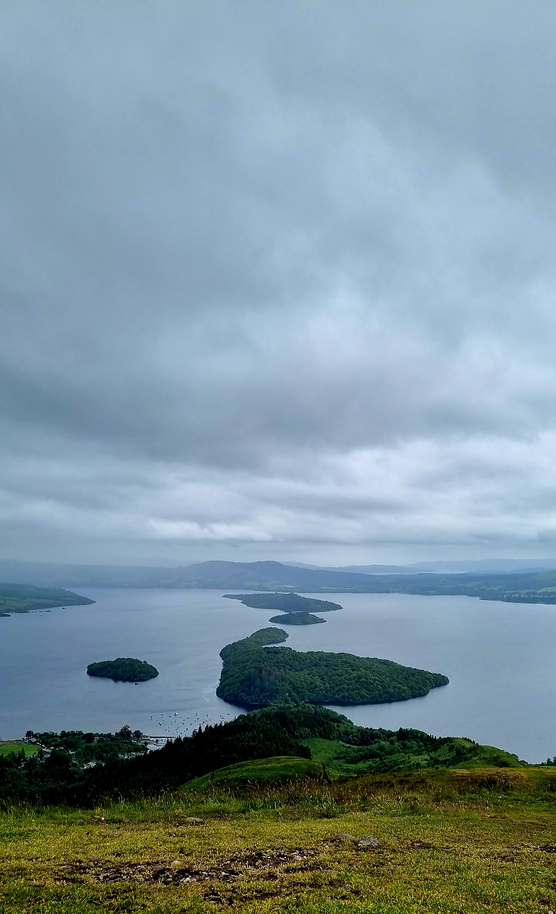
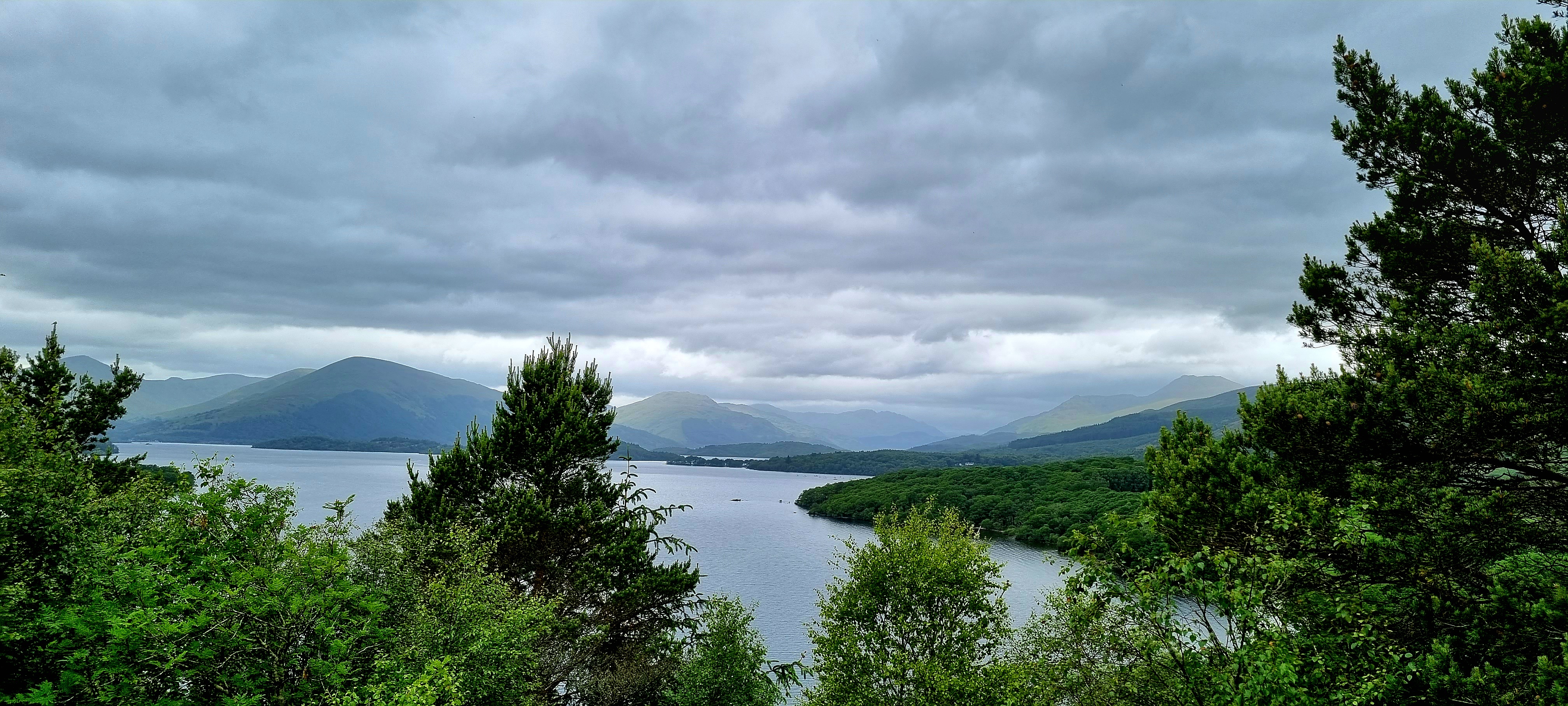
We then climbed up again to the col (a path between two mountain ridges) and got our last views looking back over Loch Lomond.
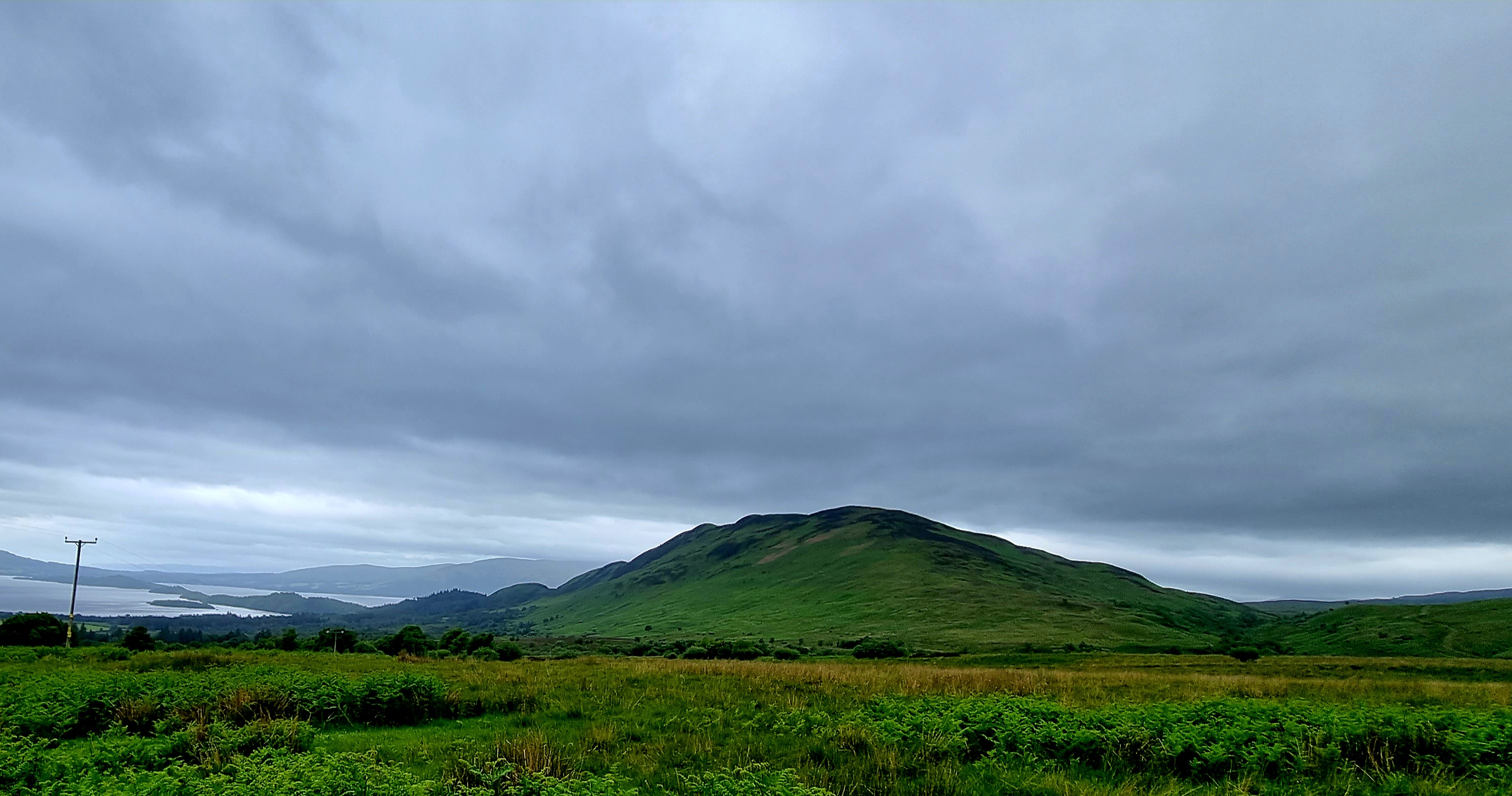
We walked through Beinglas Farm and actualky caught some sunshine on one of the mountains.
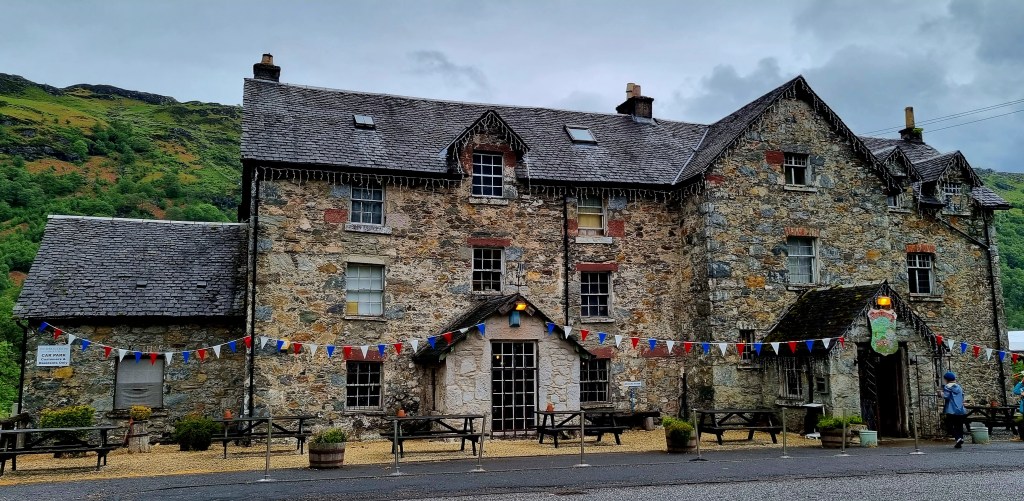
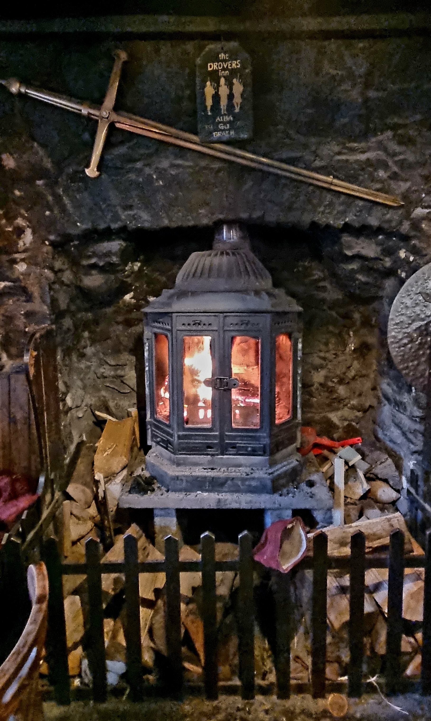
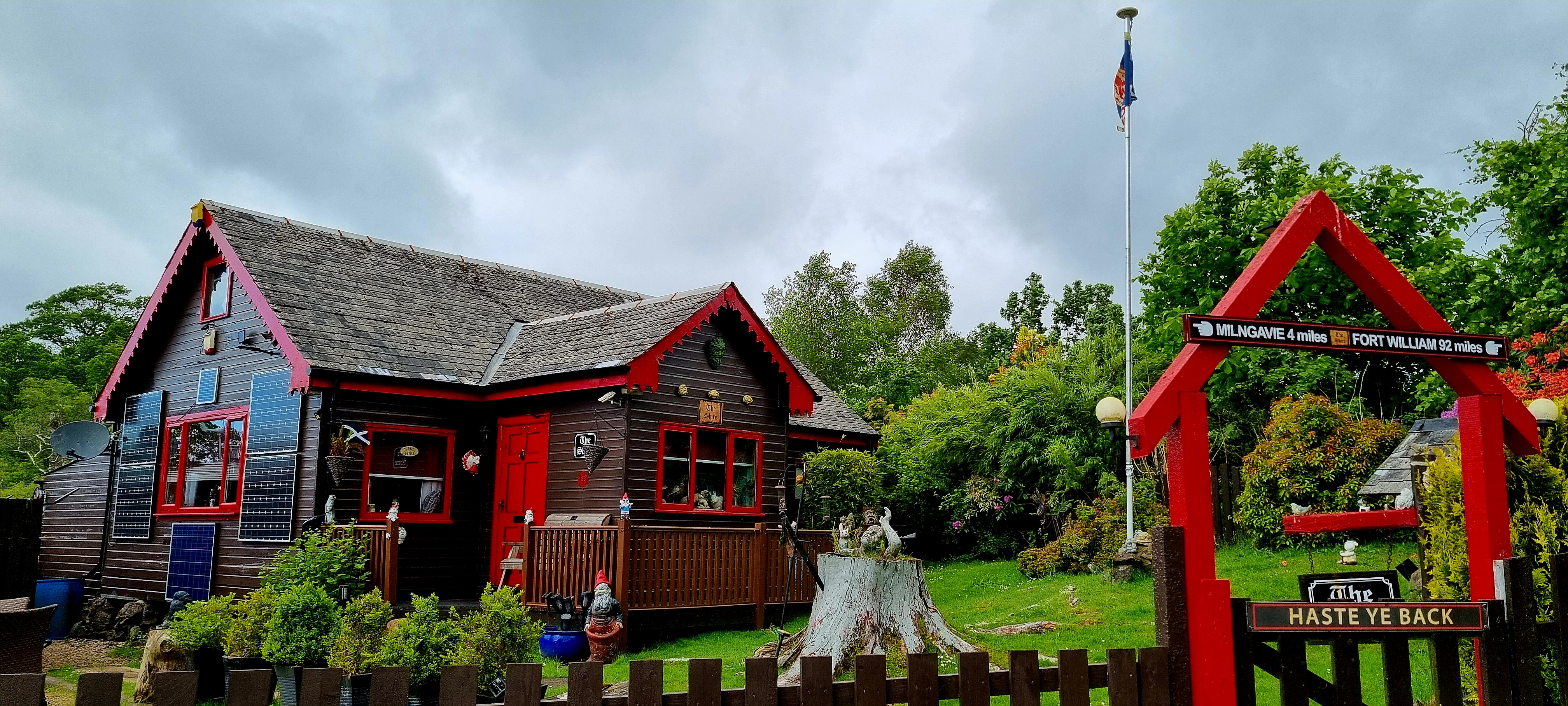
From here it was just a short walk to the Drovers Inn where we were staying for the night.
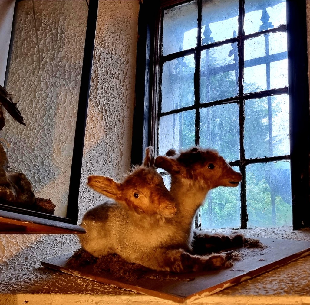
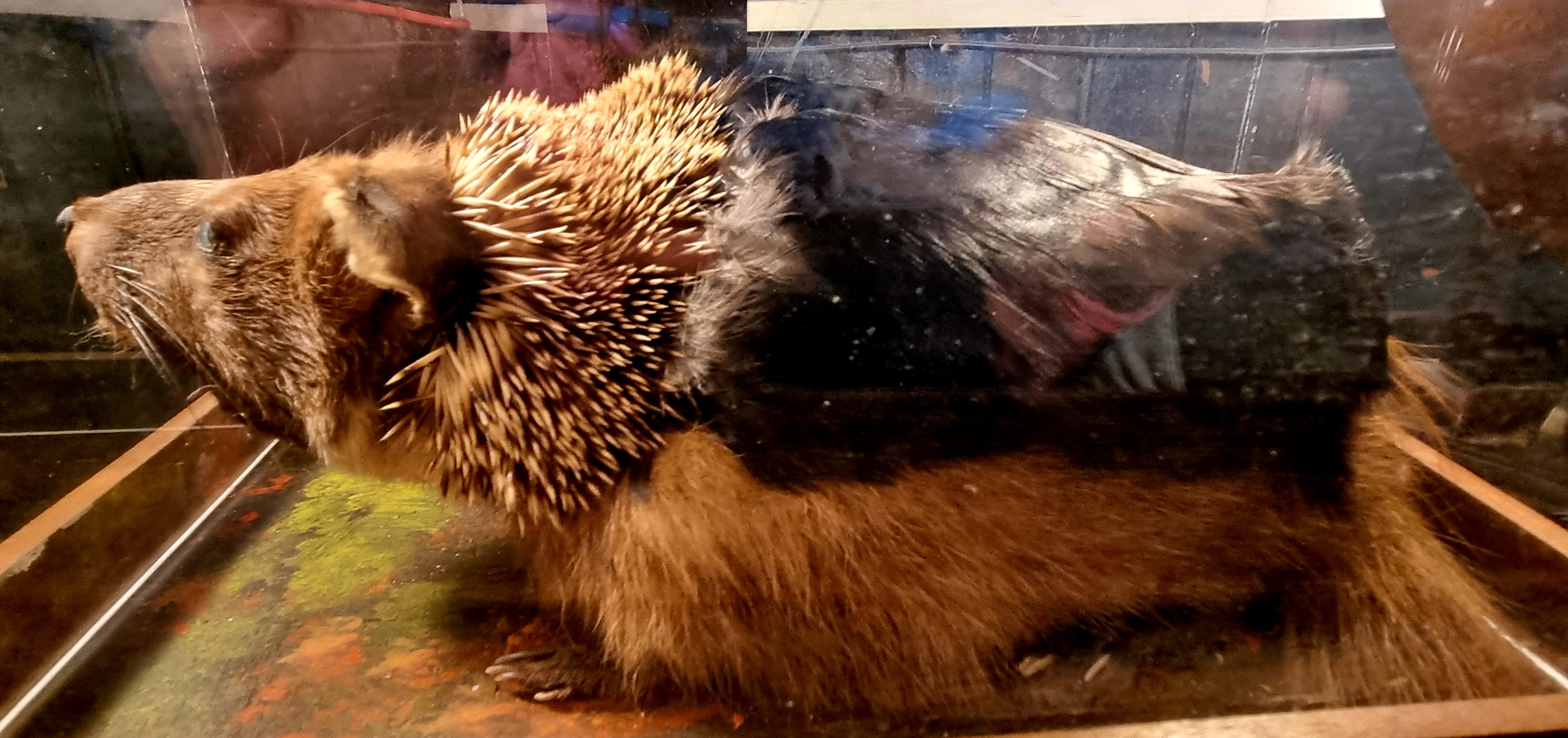
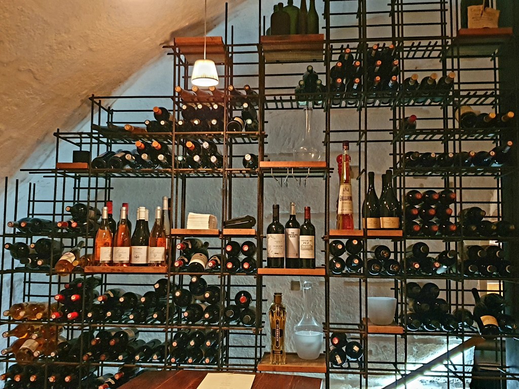
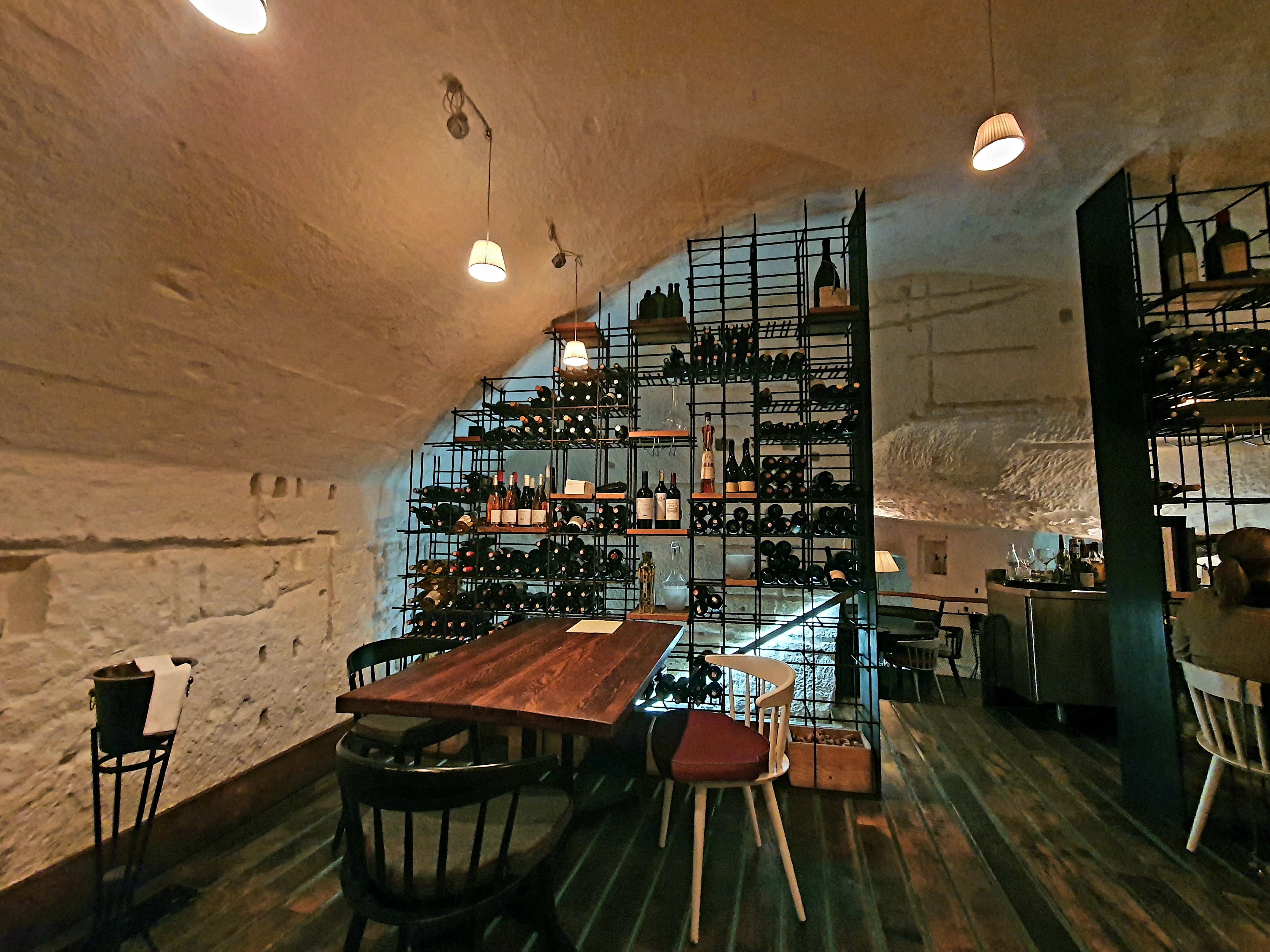
This is quite a unique hotel, restaurant and bar, lots of different rooms and lots of stuffed animals.
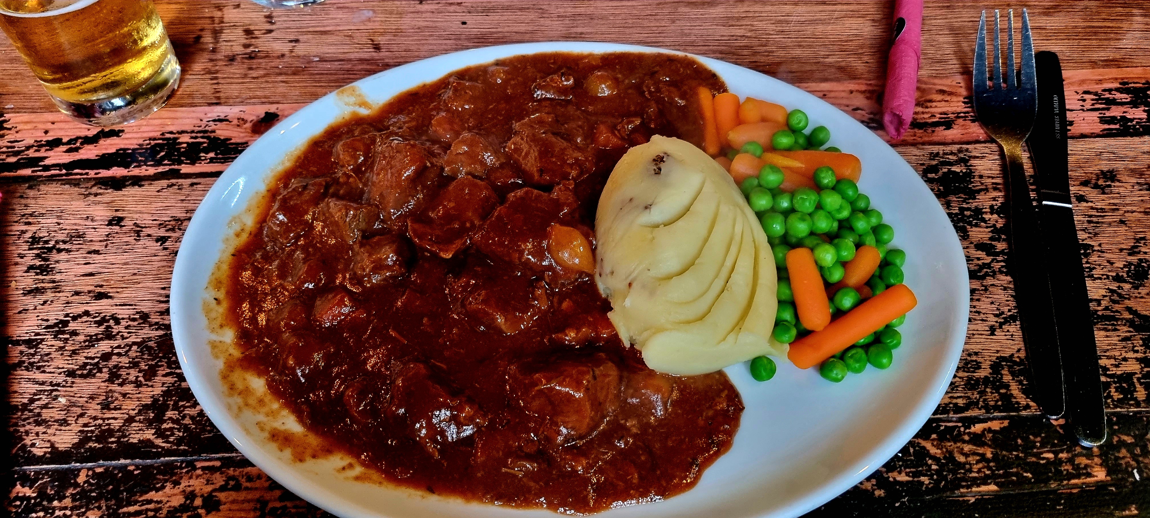
After a quick shower and change we went to the bar for dinner, a delicious venison casserole with some local beer.
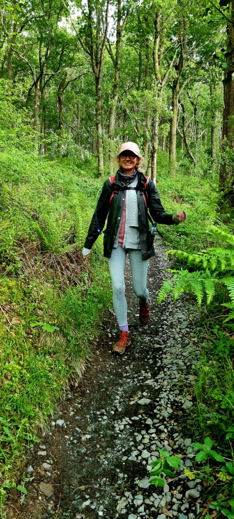
After a hearty breakfast of Scottish porridge and coffee for me we set off on the next stage of the WHW.
From our bnb we took a little detour down The Rob Roy Way.
This led us to the official WHW path at Garadbhan Forest which has been significantly felled and replanted in the last few years.
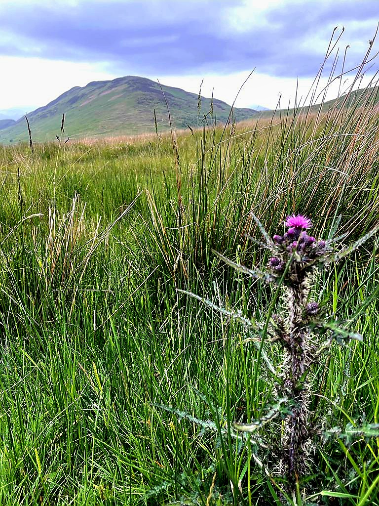
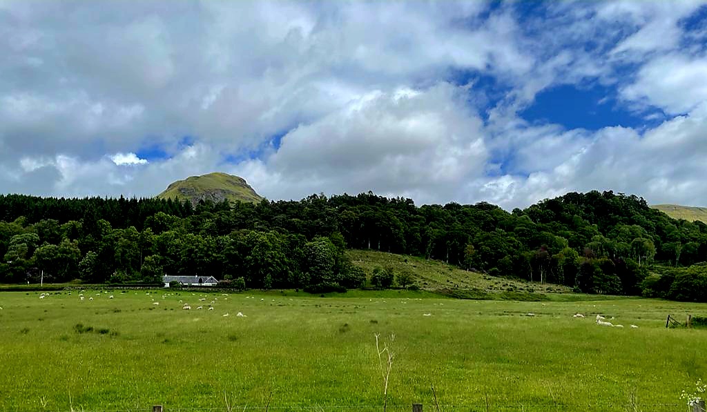
We came out of the forest into open moorland and in the distance we could see the infamous Conic Hill, as well as Loch Lomond in the distance.
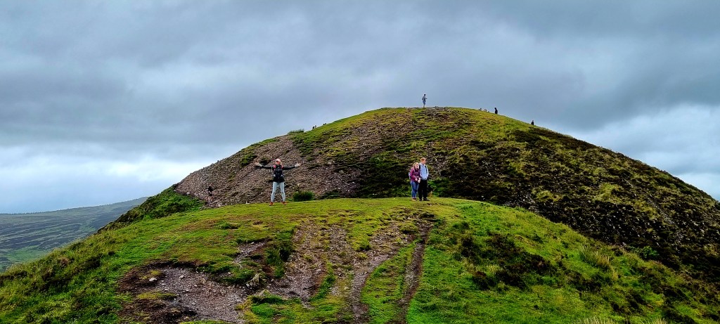
It was a long walk up Conic Hill but the scenery was gorgeous.
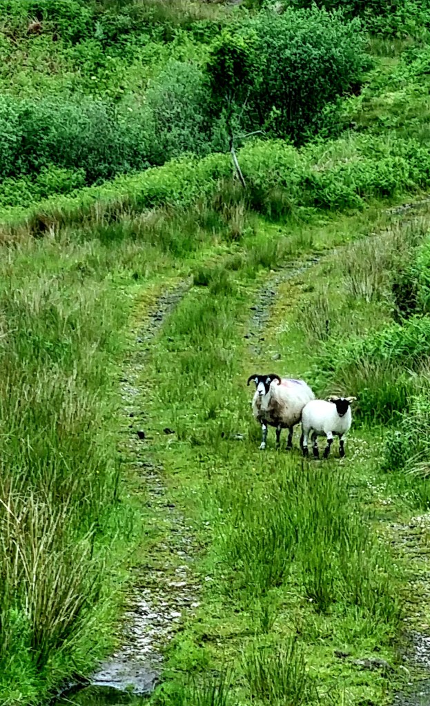
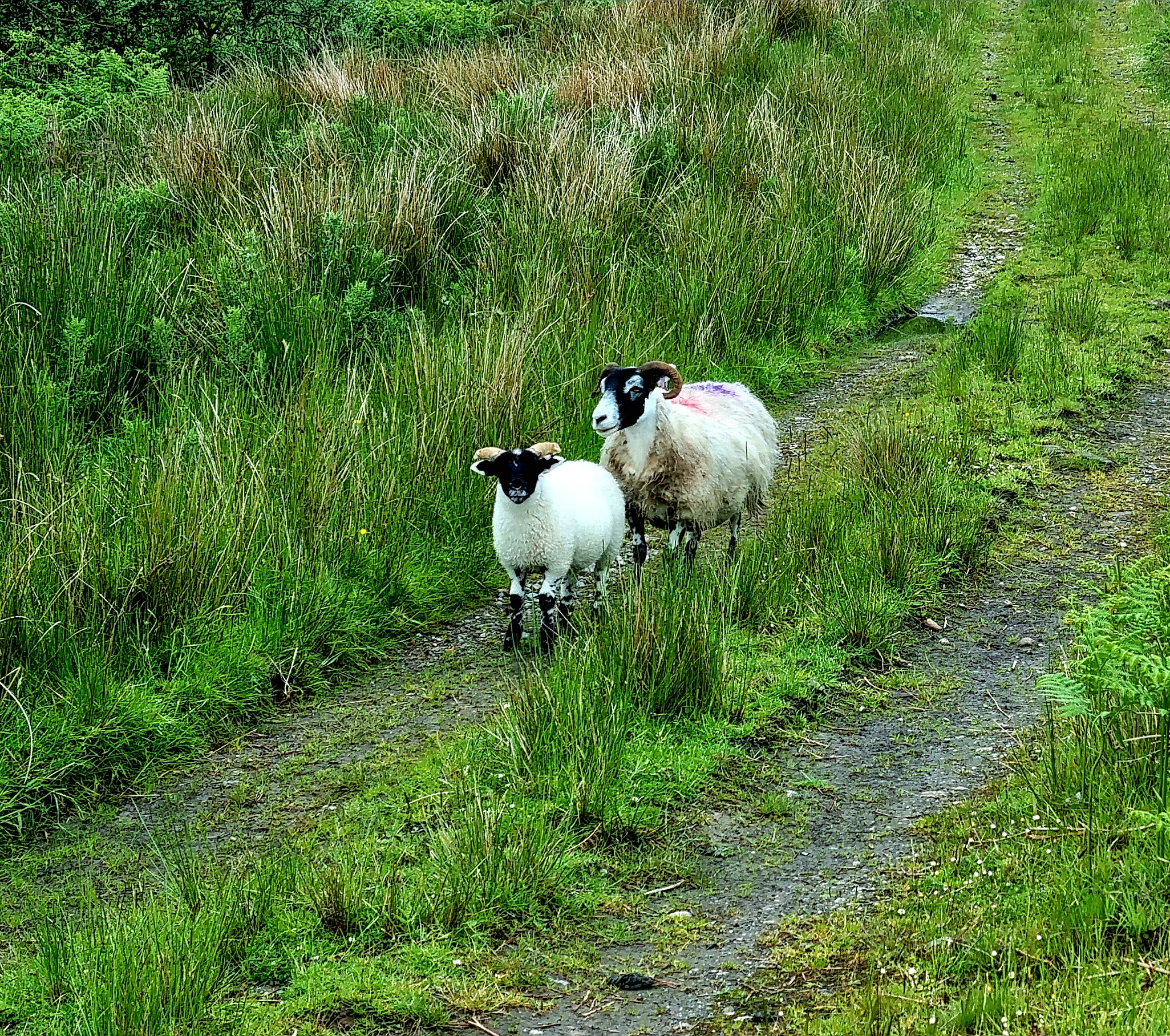
At one point we stopped to let a couple of sheep cross the path.
Conic Hill is on the Highland Boundary fault, literally the boundary between the lowlands and Highlands of Scotland, and has an elevation of 361m. To get right to the top you have to take a little detour off the WHW, but the views across Loch Lomond are worth it.
We then walked down the hill, which was quite steep in places, through a lovely pine forest and over rambling streams.
Once we reached the village of Balmaha we stopped off at the Oak Tree Inn for a beer and cheese sandwich.
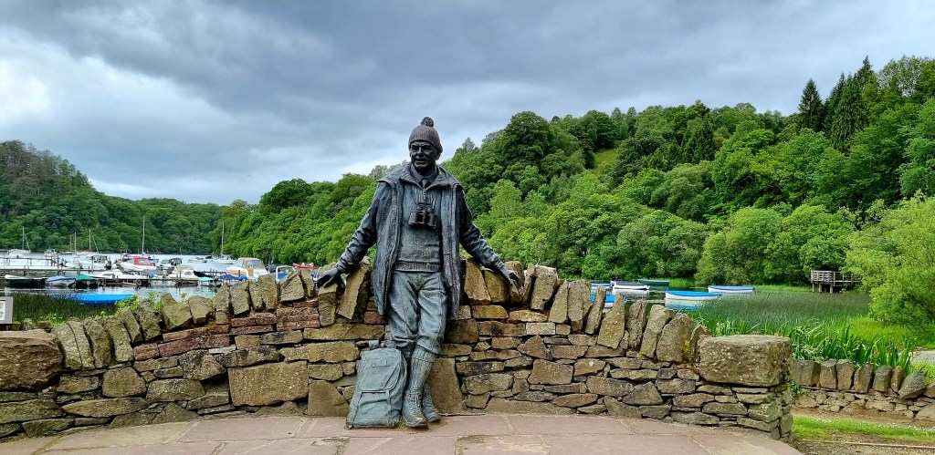
After this short rest we set off again, passing by the memorial to Tom Wier, Scotland’s most loved mountain man.
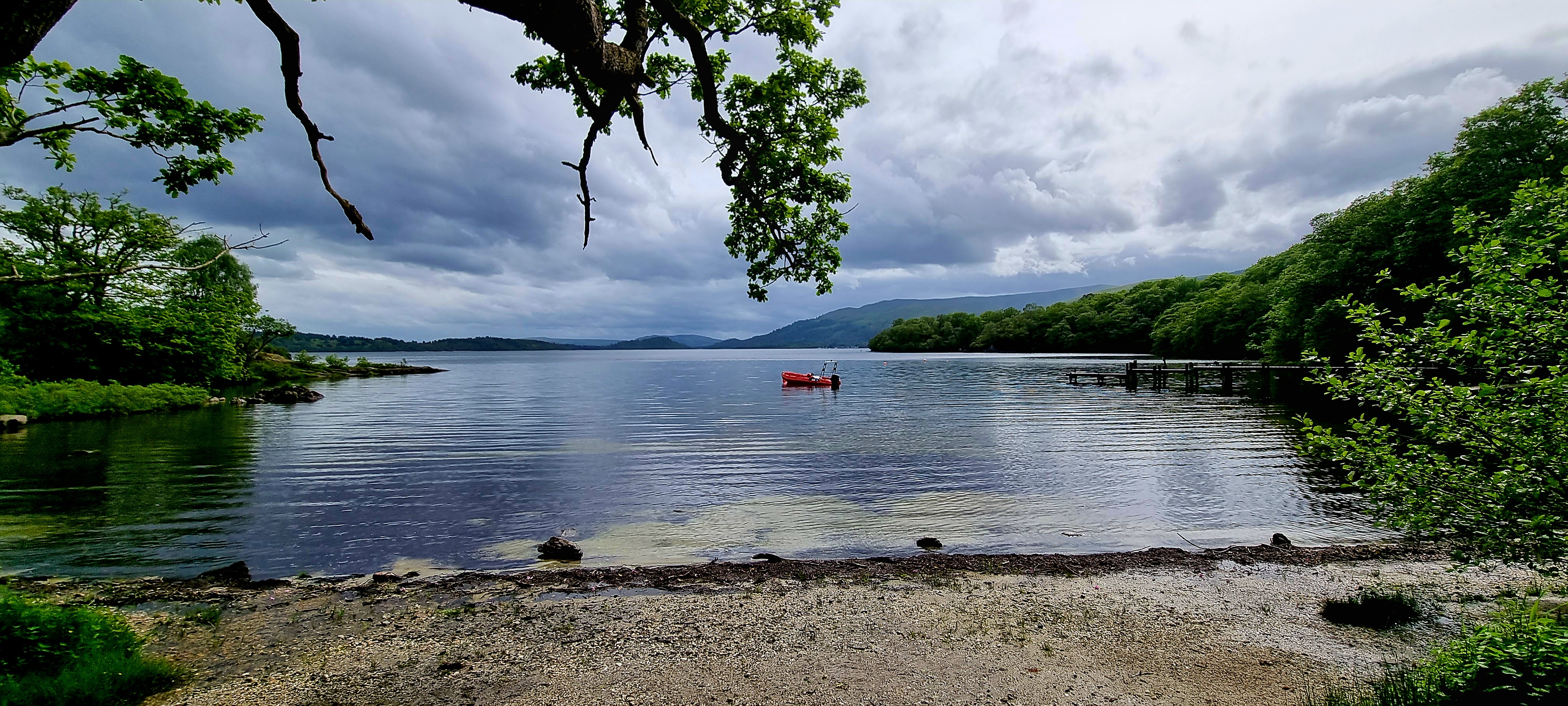
The path took us up Craigie Fort where, again, you got some good views over the Loch.
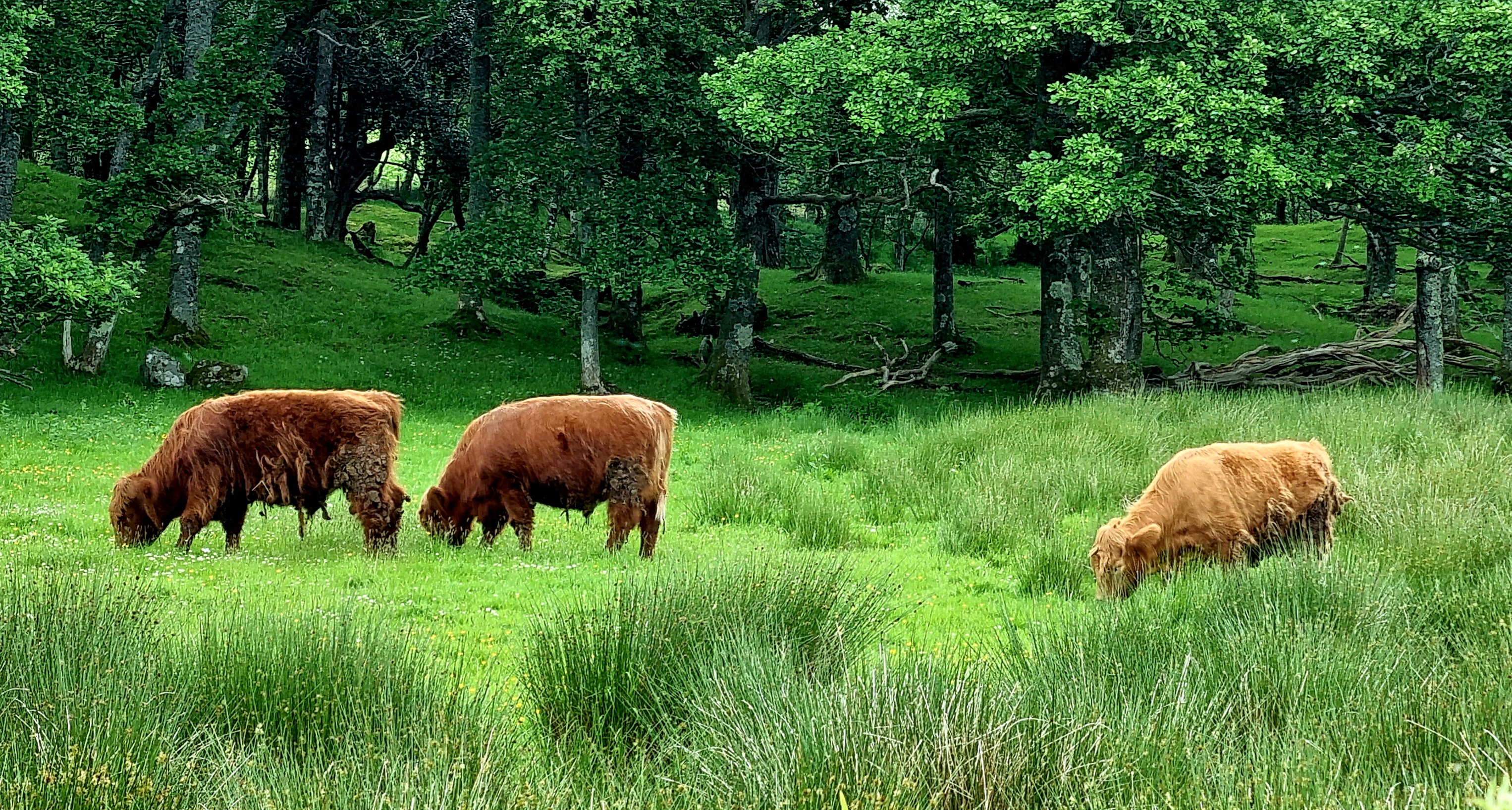
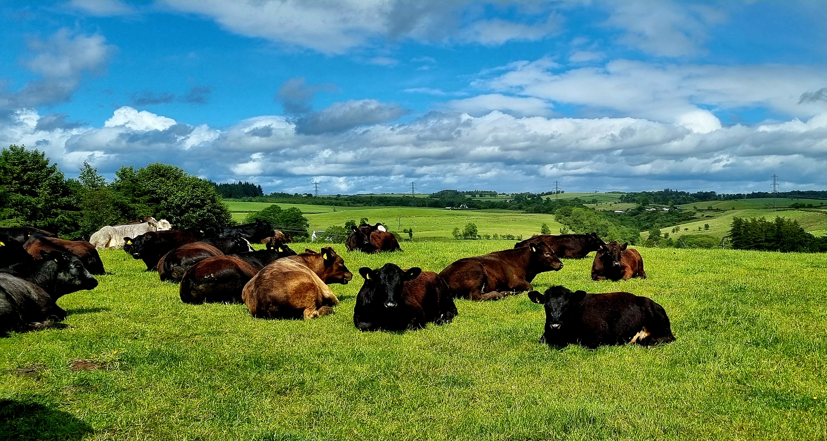
We continued walking along the shores of Loch Lomond, at one point by some fields where we saw some highland cows and also through woodland.
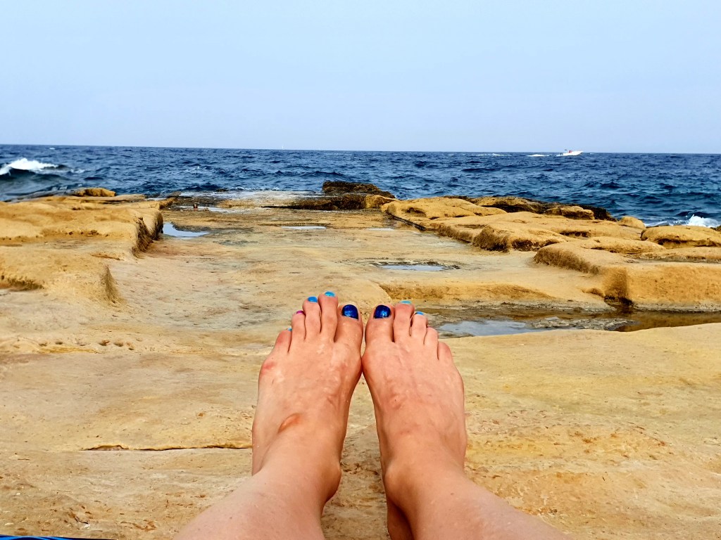
We made a short stop at Sallochy Bay where there were unfortunately a lot of midges.
The walk continued through Ross Wood and Rowardennan forest. There were some quite steep ascents which was not good news for our tired legs.
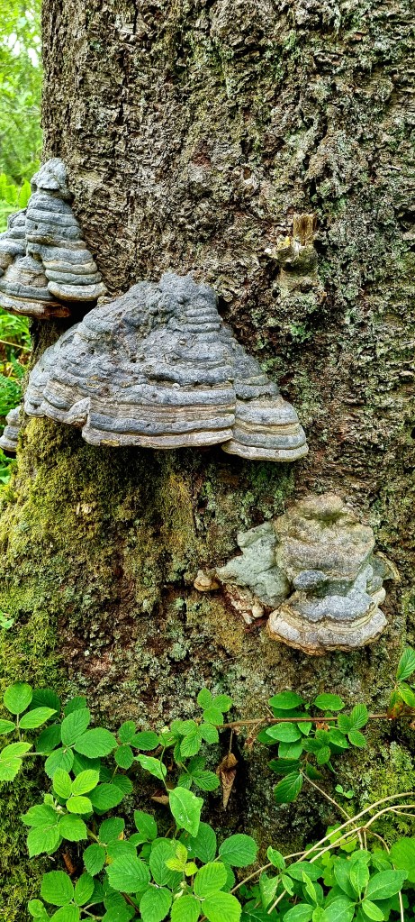
One of the trees we passed has some interesting looking funghi growing on – we think it was elephant funghi.
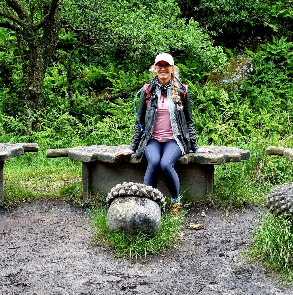
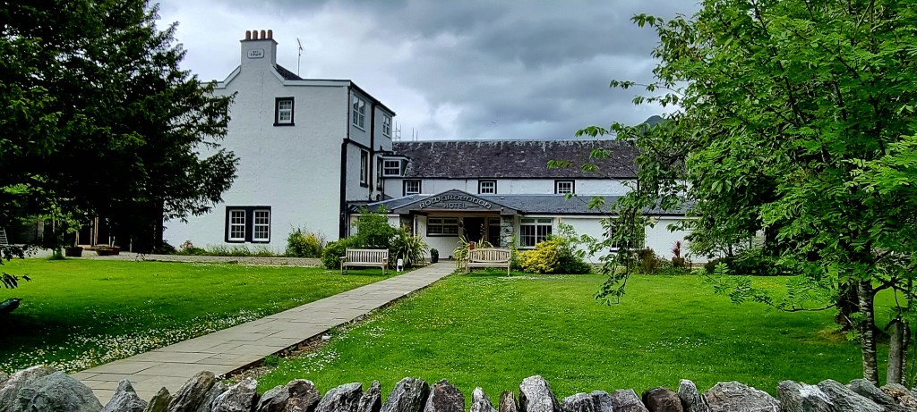
After a further 27.72 km we made it yo our accommodation for the night – the Rowardennan Hotel.
After a quick shower we found our own private staircase to the ground floor. We had a delicious dinner and sampled some of the local beer.
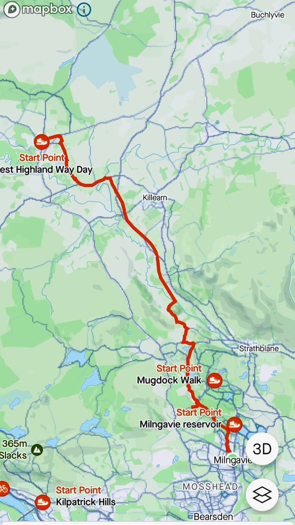
We were up at a reasonable hour, packed – only just about fitting everything into the small cases – and off to Glasgow Central station by 9am. At the station we grabbed a quick coffee before boarding the train to Milngavie.
At Milngavie station we met a guy from the Travelite company who took our cases from us so we were just left with our day bags.
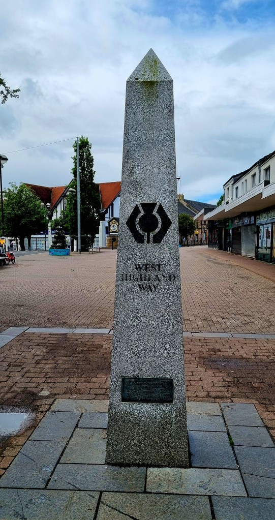
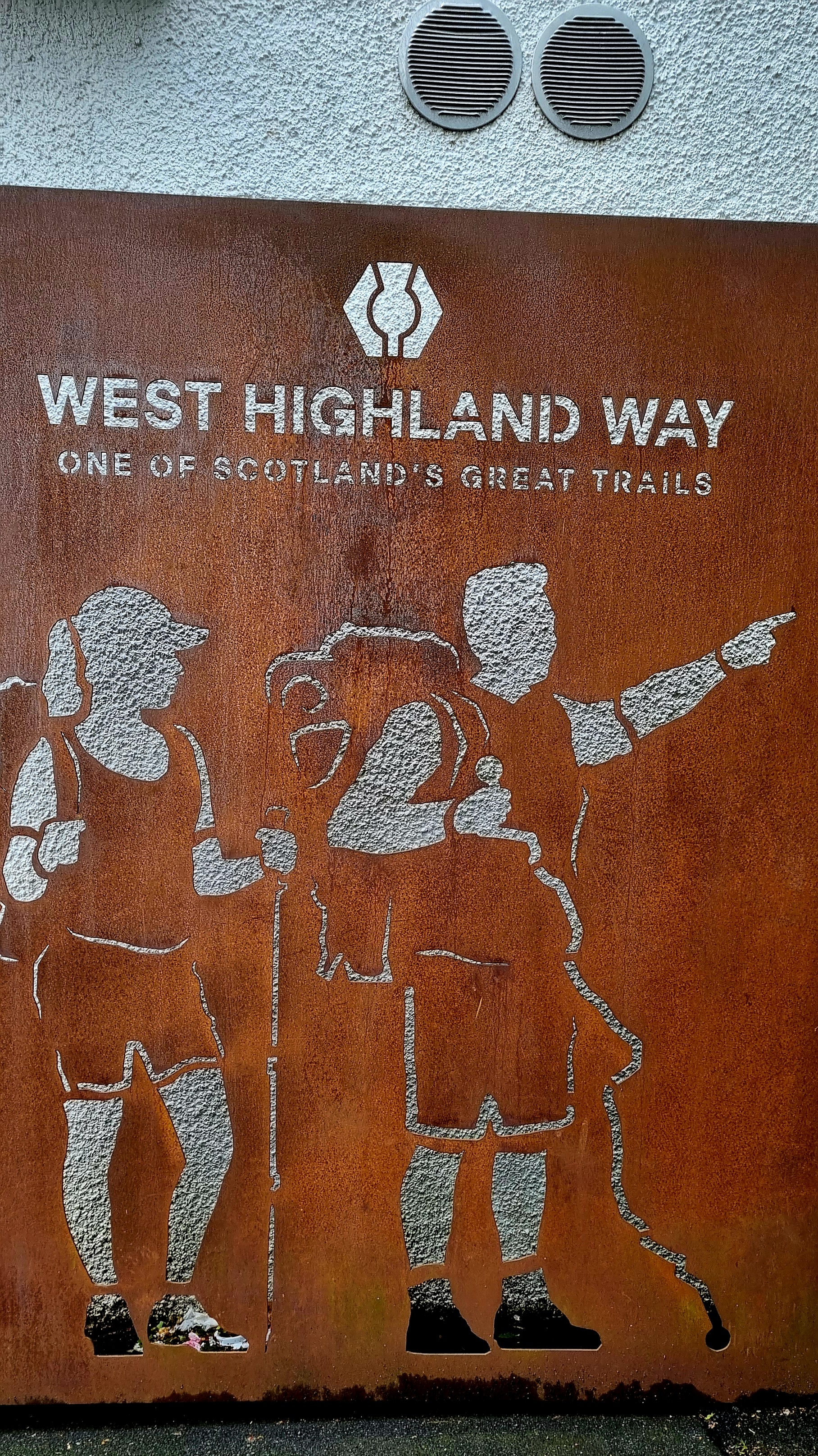
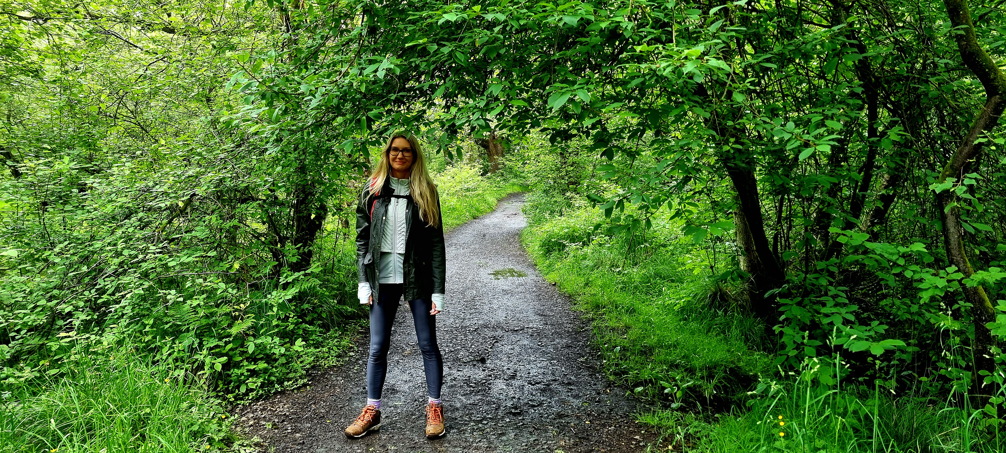
My friend Laura, who lives in Milngavie met us at the station and we headed to Gavies for a delicious breakfast. After getting fuelled up we walked to the start of the West Highland Way and set off on our 96 mile journey
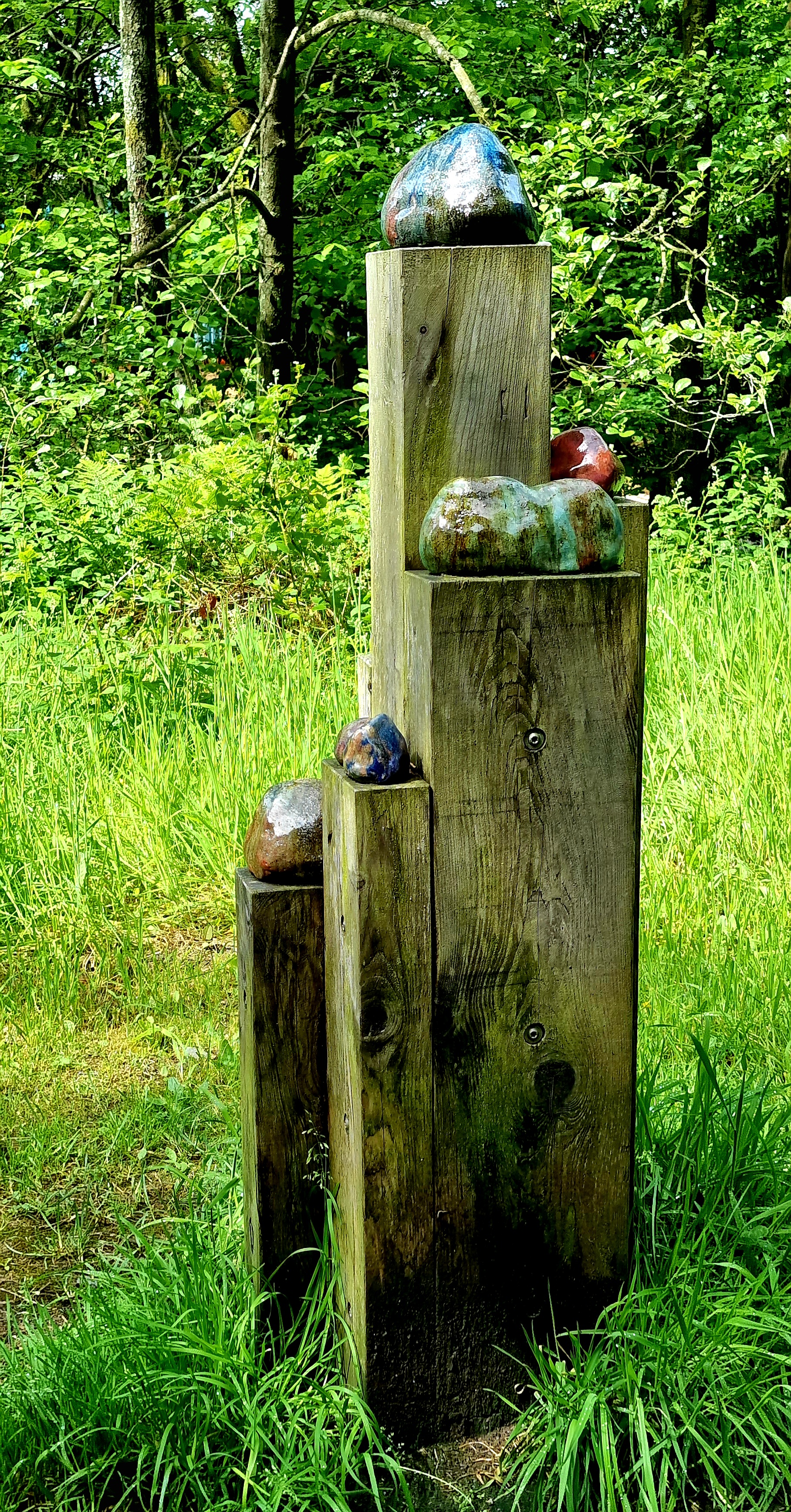
We passed through some beautiful trails and came across several Scholars Rocks.
Scholars rocks are located across rural sites and these hand built ceramic rocks make connections back to East Dunbartonshire geology and industries that previously utilised resources provided by the landscape.
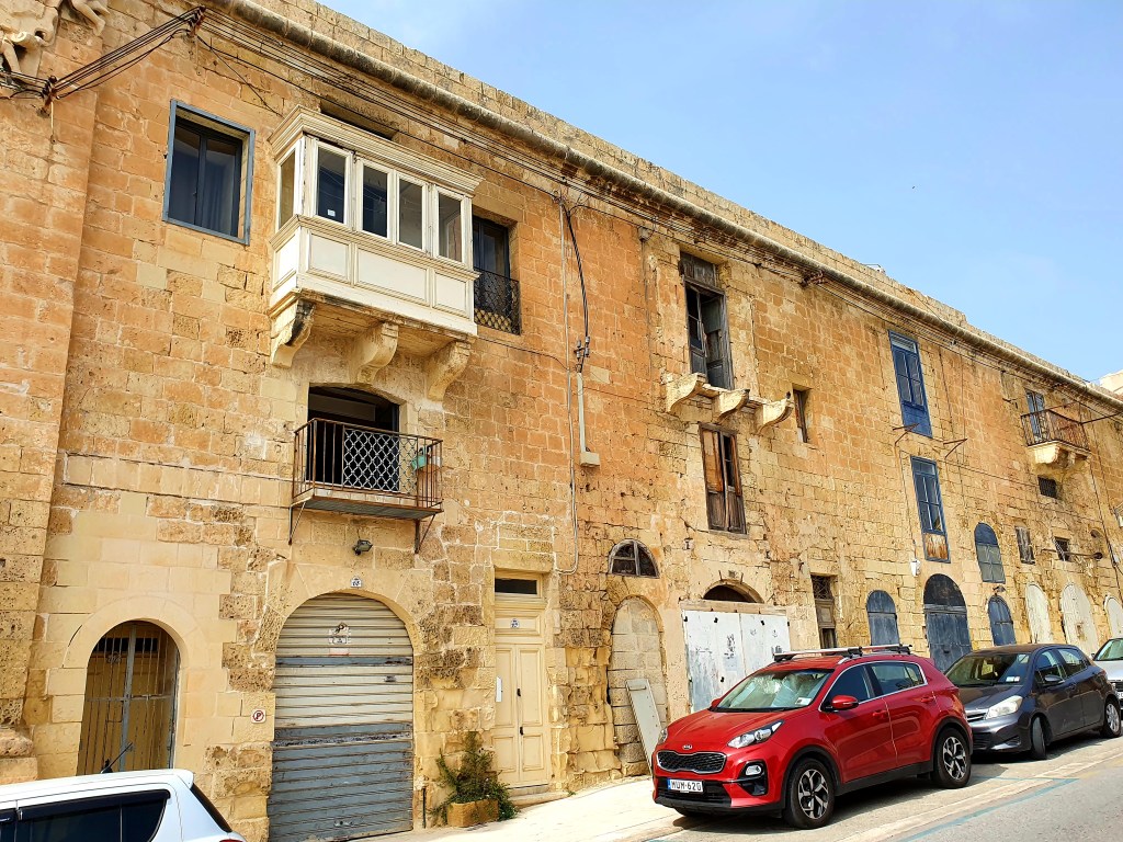
IThe scenery was beautiful and there were some interesting houses along the way.
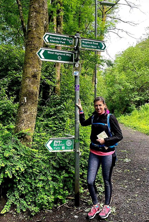
We passed through Mugdock Wood and Mugdock Country Park after taking a wrong turn, but being directed back onto the right path by a friendly local! There were some beautiful cottages on the way.
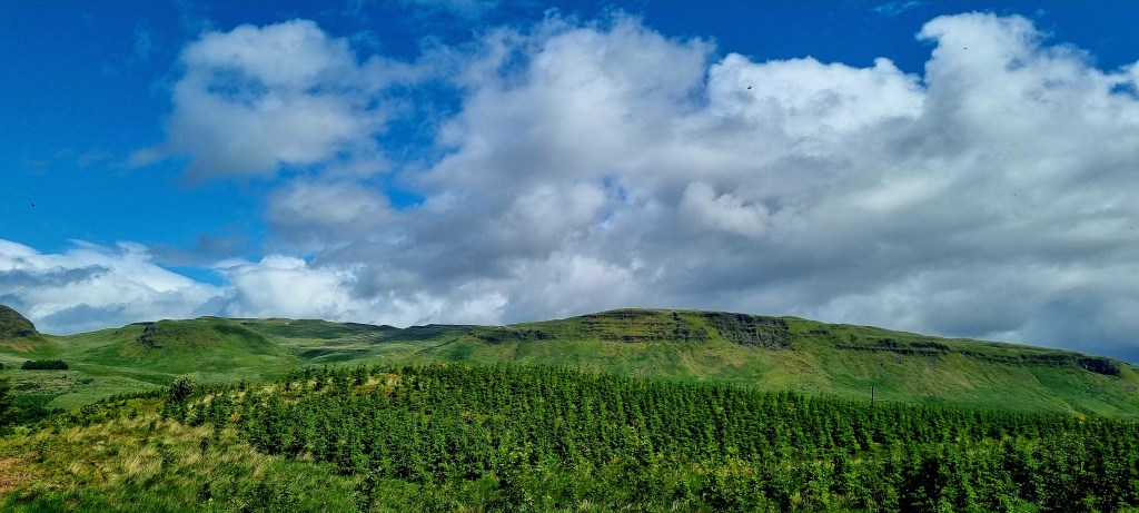
We could see Dumgoyne, the hill in the photo below.
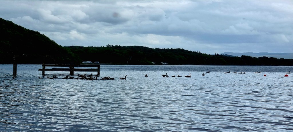
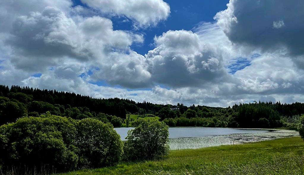
We continued walking past Craigallian Loch.
The walk continued on past Dumroyach and Dumgoyne, passing through lots of fields and lovely scenery.
The walk is alongside an old railway line to Gartness. The Blane Valley Railway was opened to passengers in 1867 but it was never very popular and passenger services were withdrawn in 1951 and the line closed completely in 1959.
We passed over Blane Water and continued towards Drymen through semi-urban surroundings.
After around 4 and a half hours we reached Drymen and went to our accommodation for the night – Braeside B&B.
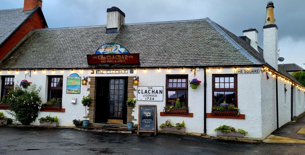
They were really welcoming and showed us to our room as soon as we got there. After settling we headed out for dinner and decided to go the Clachan Inn. This the oldest licensed pub in Scotland and was licensed in 1734.
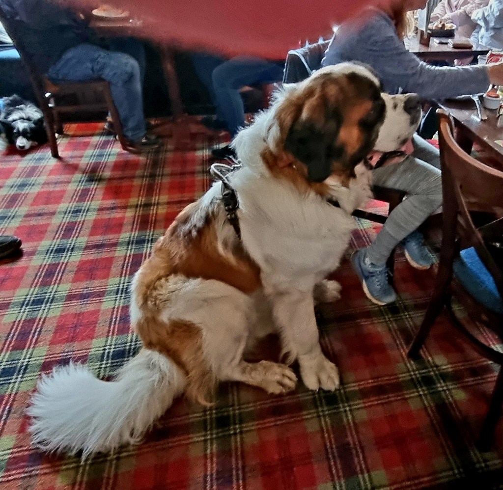
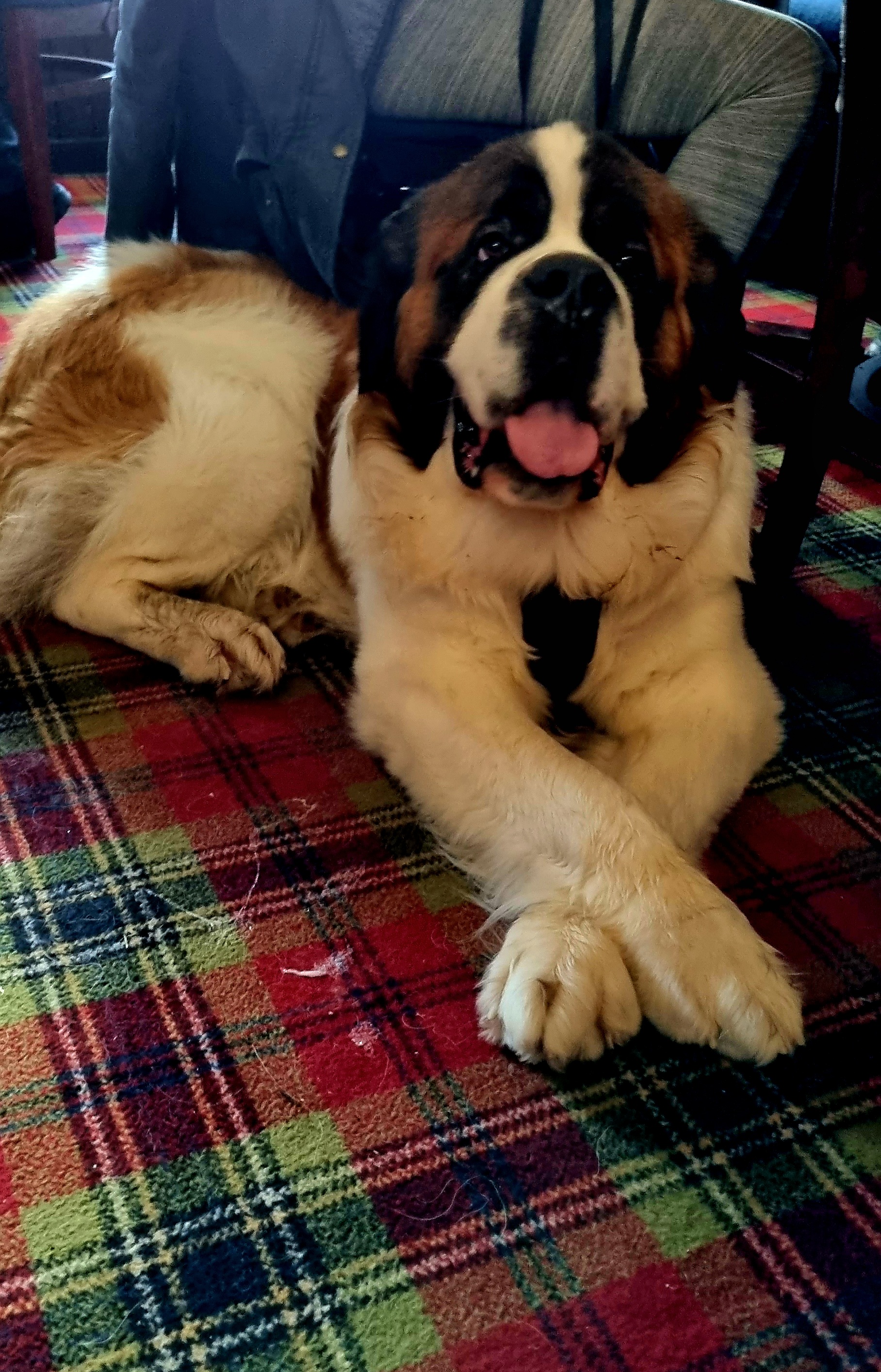
We made a new friend, Bailey the St Bernard who was 2 years old and weighed 66kg!
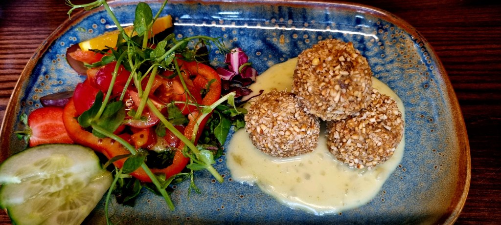
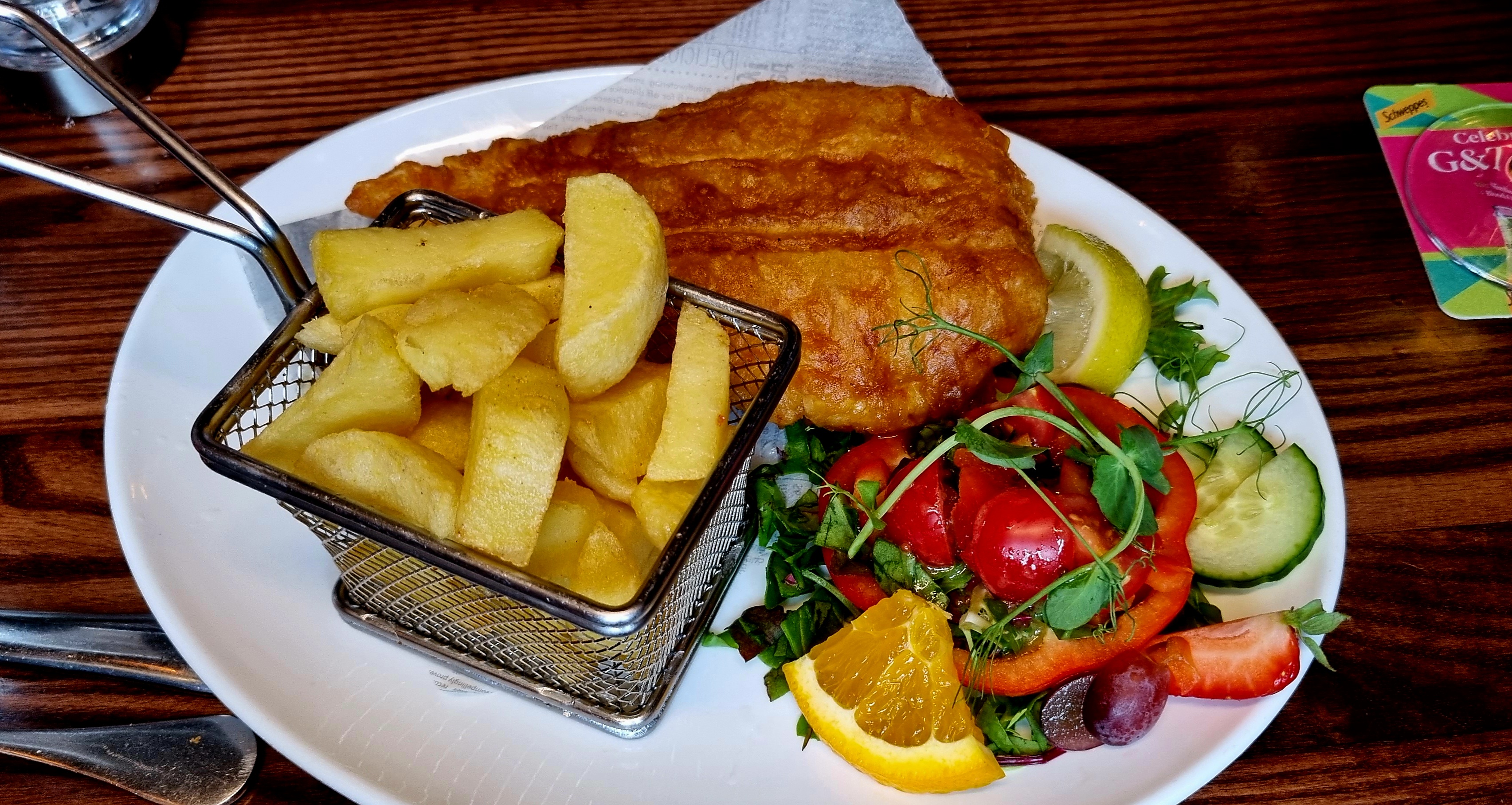
Once we got a table we had a delicious dinner of haggis balls and fish and chips with some cider!
And then we headed back to the bnb for an early night. In total we walked 23.45km. We were lucky with the weather too – just a couple of showers, and no midges as it was quite windy!
The sun was shining when I left Heathrow but it was a bit cloudy on arrival in Glasgow
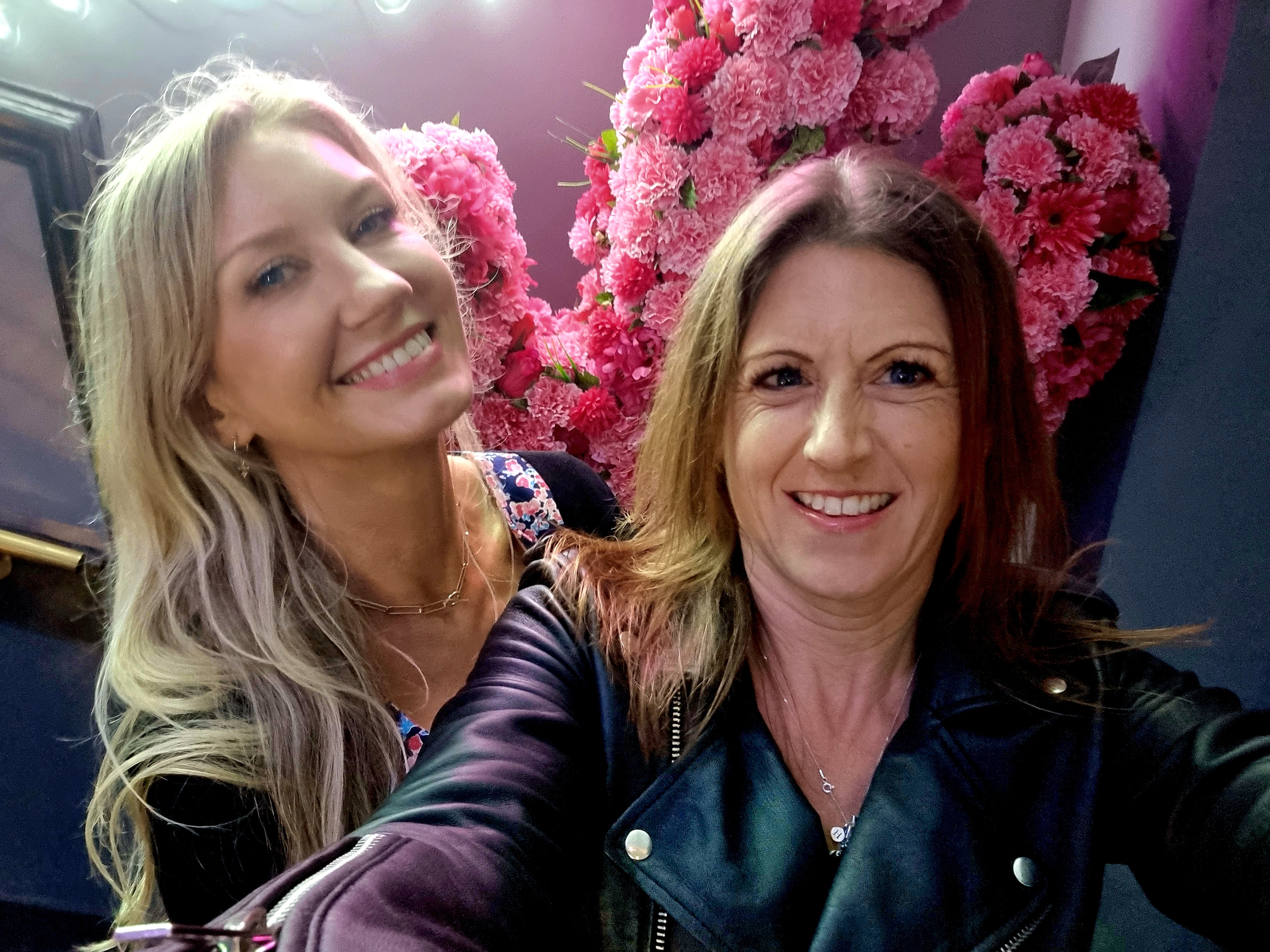
I got the express bus – which wasn’t very express as I had to wait at least 40 minutes for it to arrive – into the city centre. And from Queen Street Station it was just a 10 minute walk to the hotel where Faye was already waiting for me.
After a change of clothes we headed out into the city. Our first stop was at Waxy O’Connors, a lovely bar that was a bit of a maze.
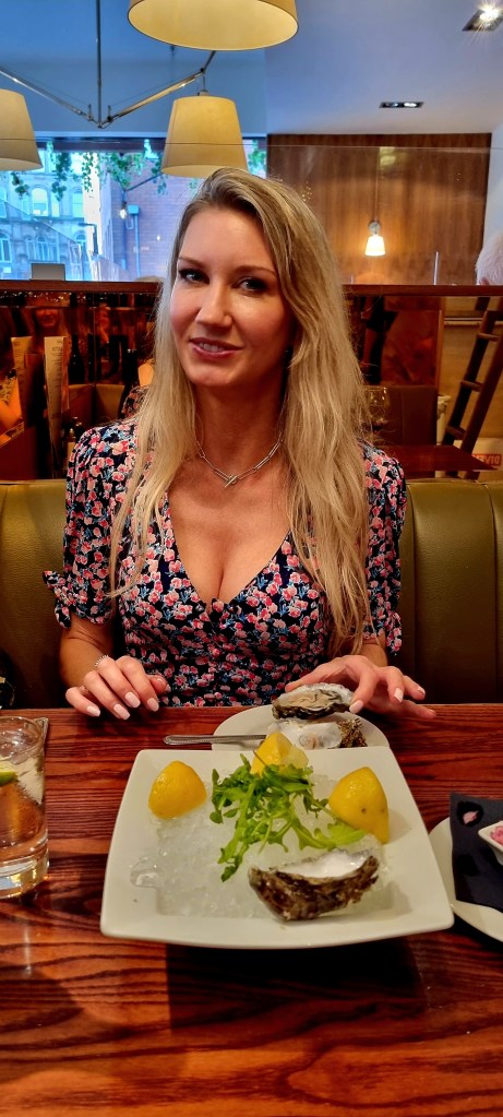
From there we headed to the Italian Caffè for food and wine, both of which were delicious! We had oysters to start and then a pasta dish.
On the way home we made a stop at O’Neils for a g&t before heading home.
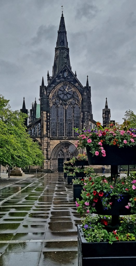
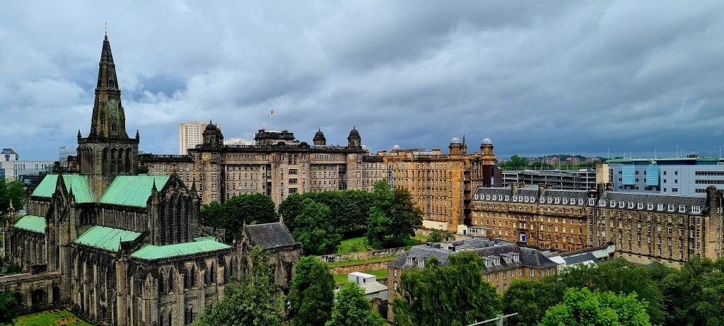
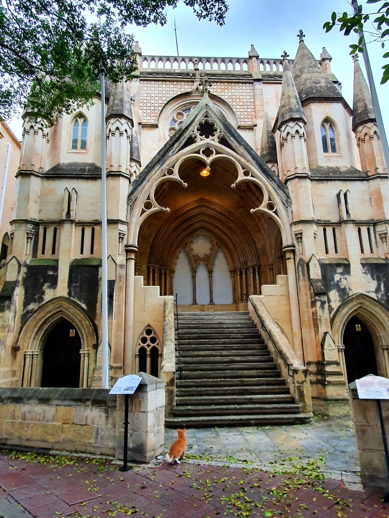
The next morning the weather wasn’t looking great but we decided to head off to see the cathedral. Unfortunately it was closed but we had a good wander around the outside of it.
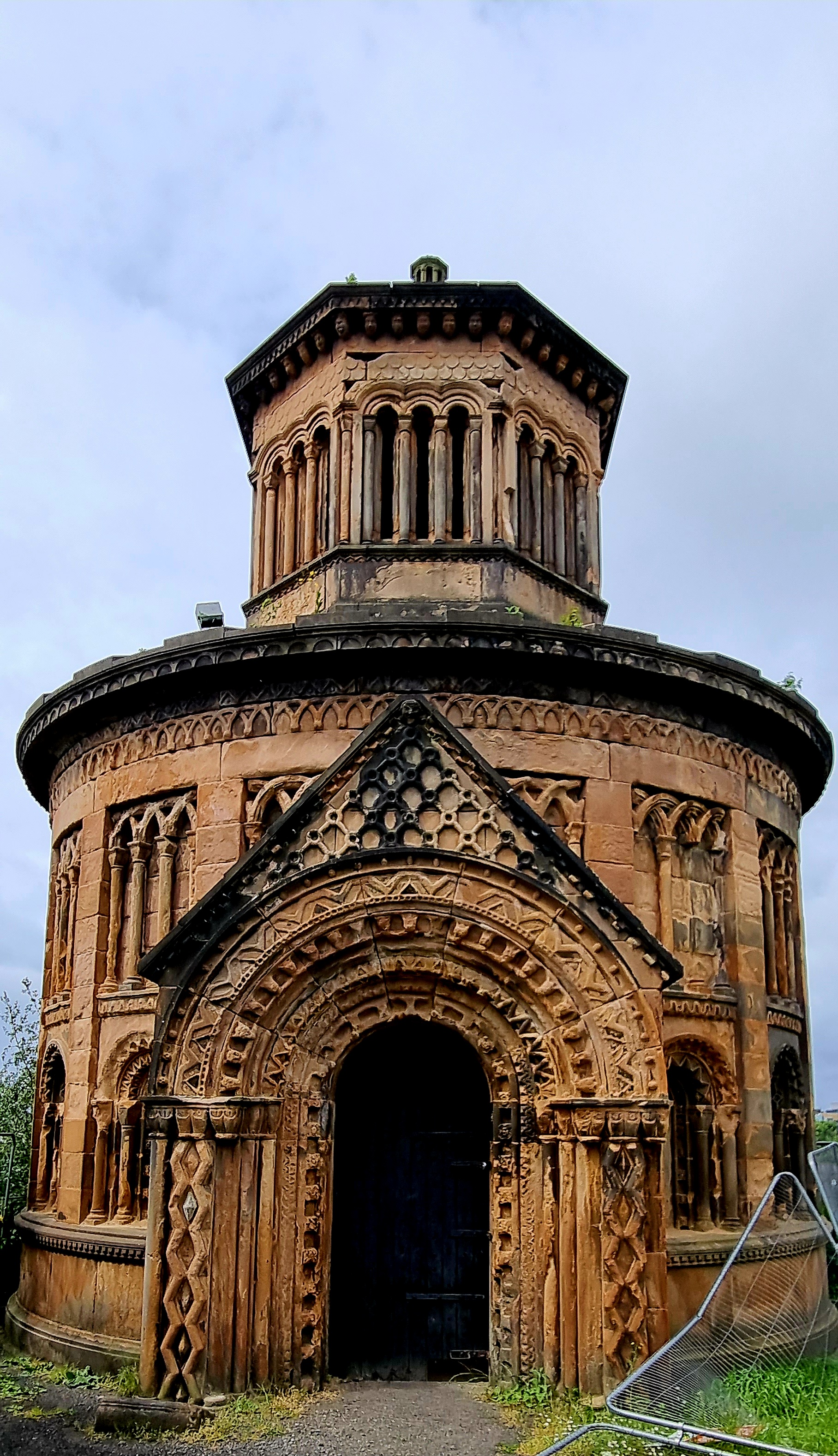
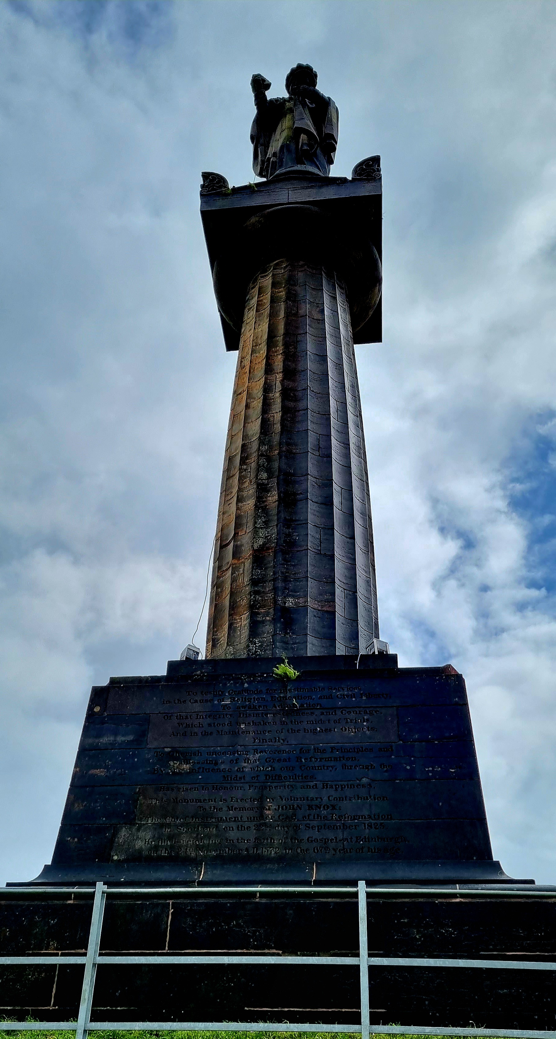
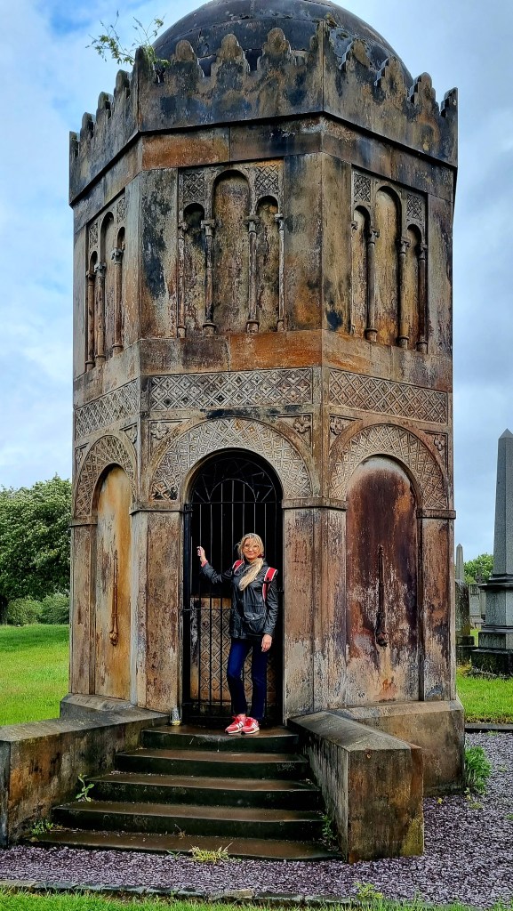
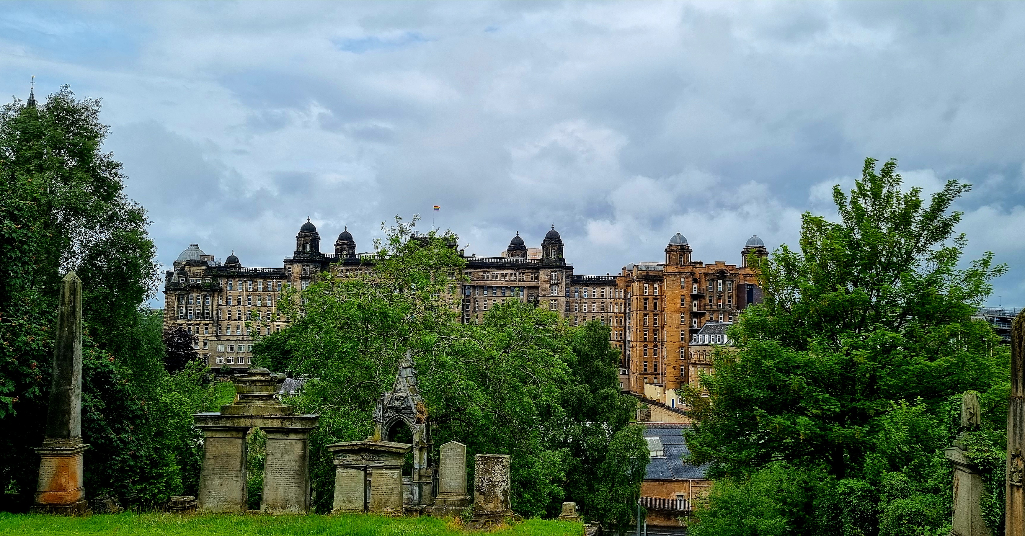
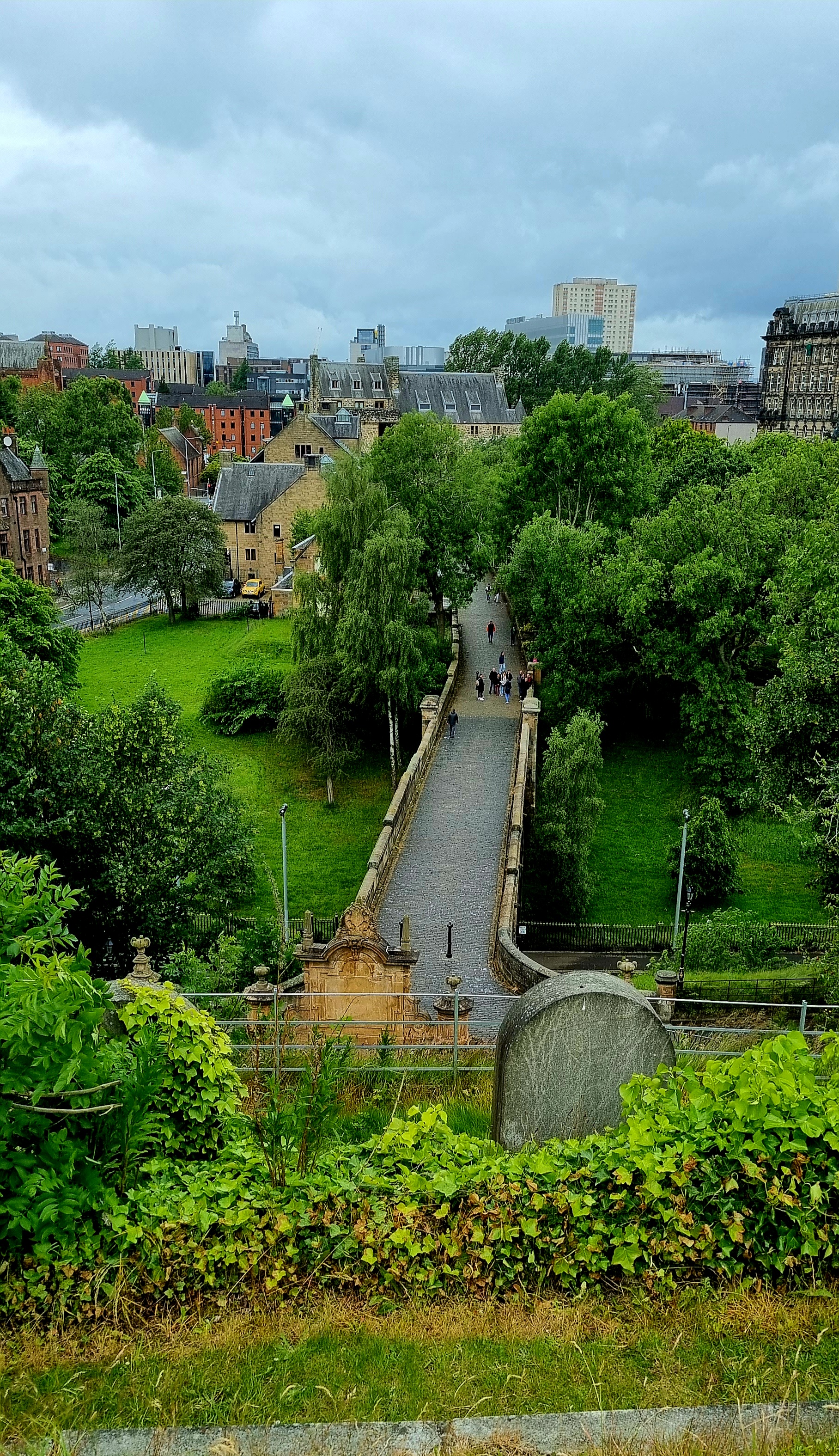
From the cathedral we walked over to the necropolis, an old victoriana cemetery.
Around 50,000 people have been buried in the cemetery but a lot of the graves and monuments don’t have any names.
The views from the top of the necropolis back into the city were really lovely.
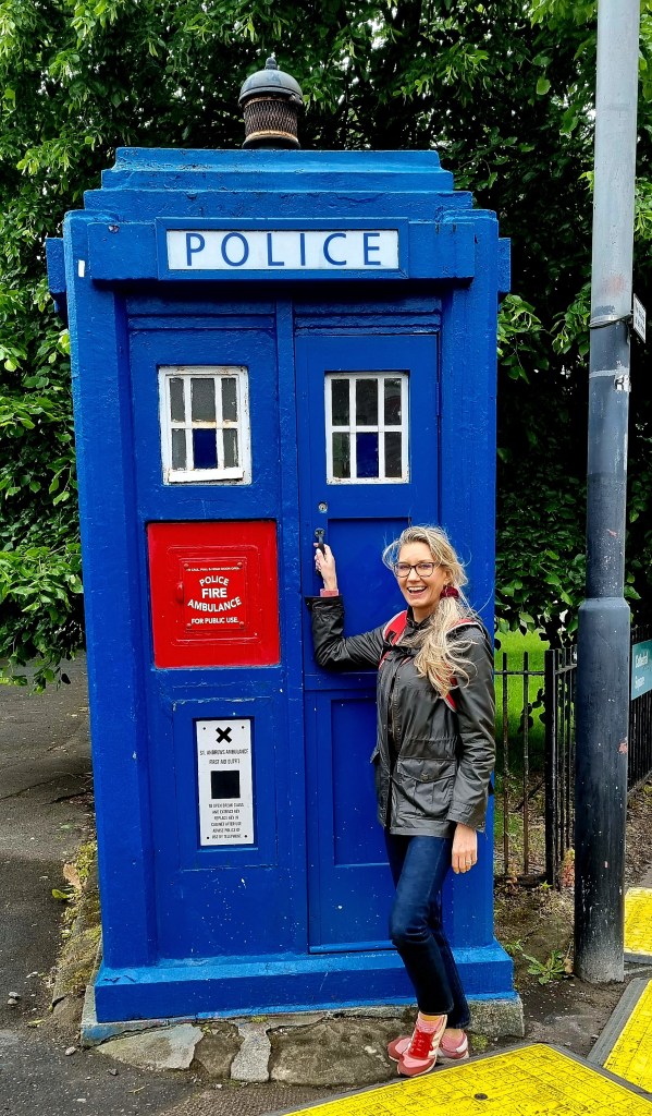
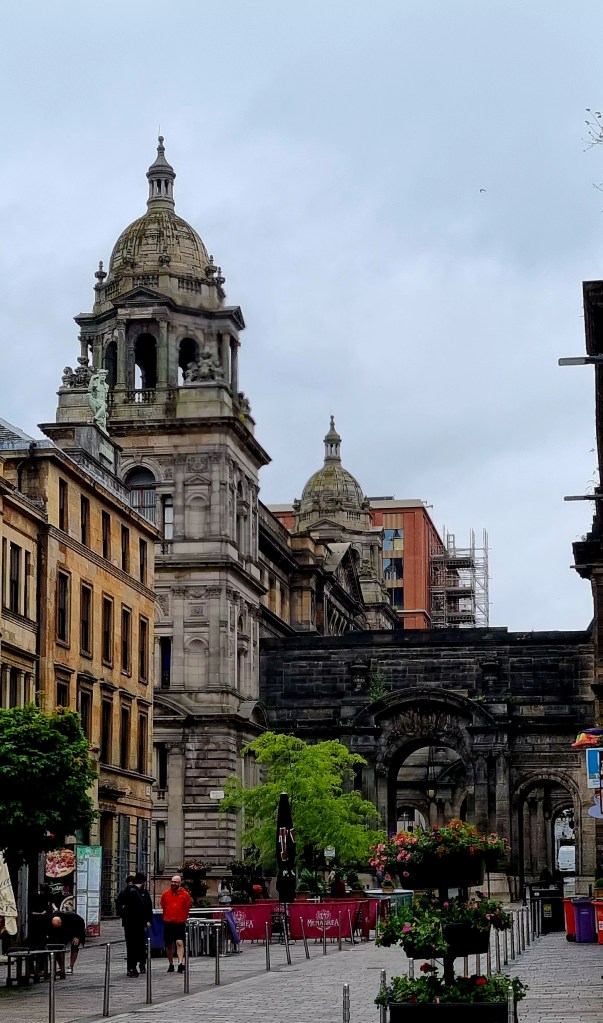
Back in the city we came across a tardis and a funny shaped tree.
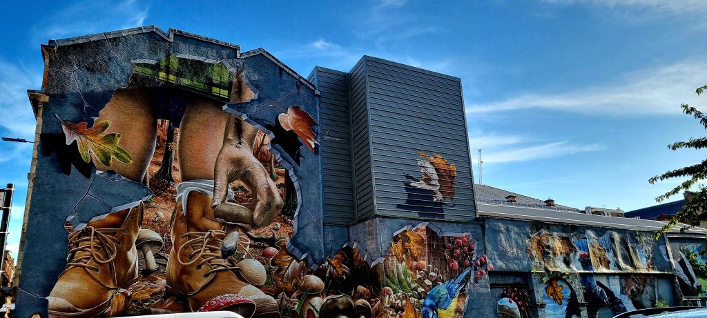
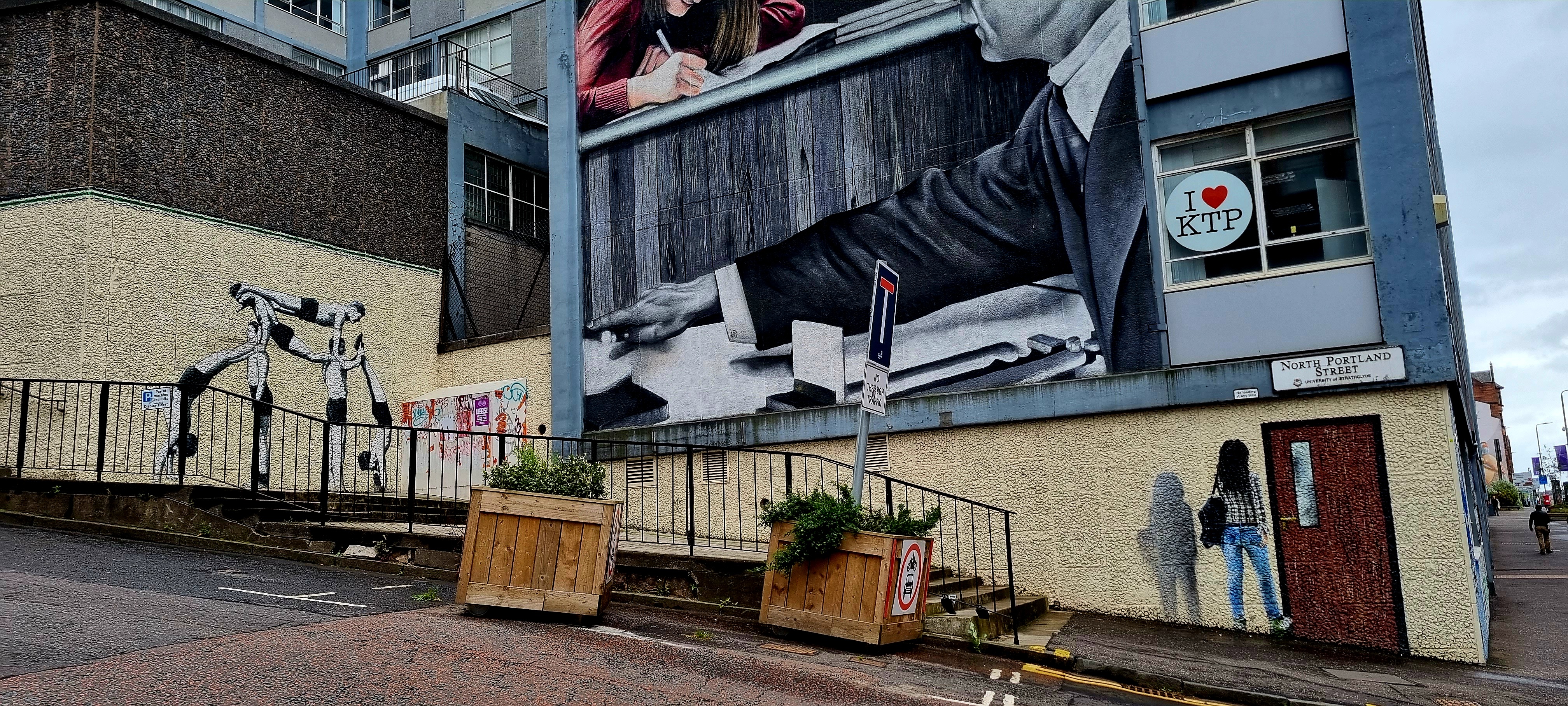
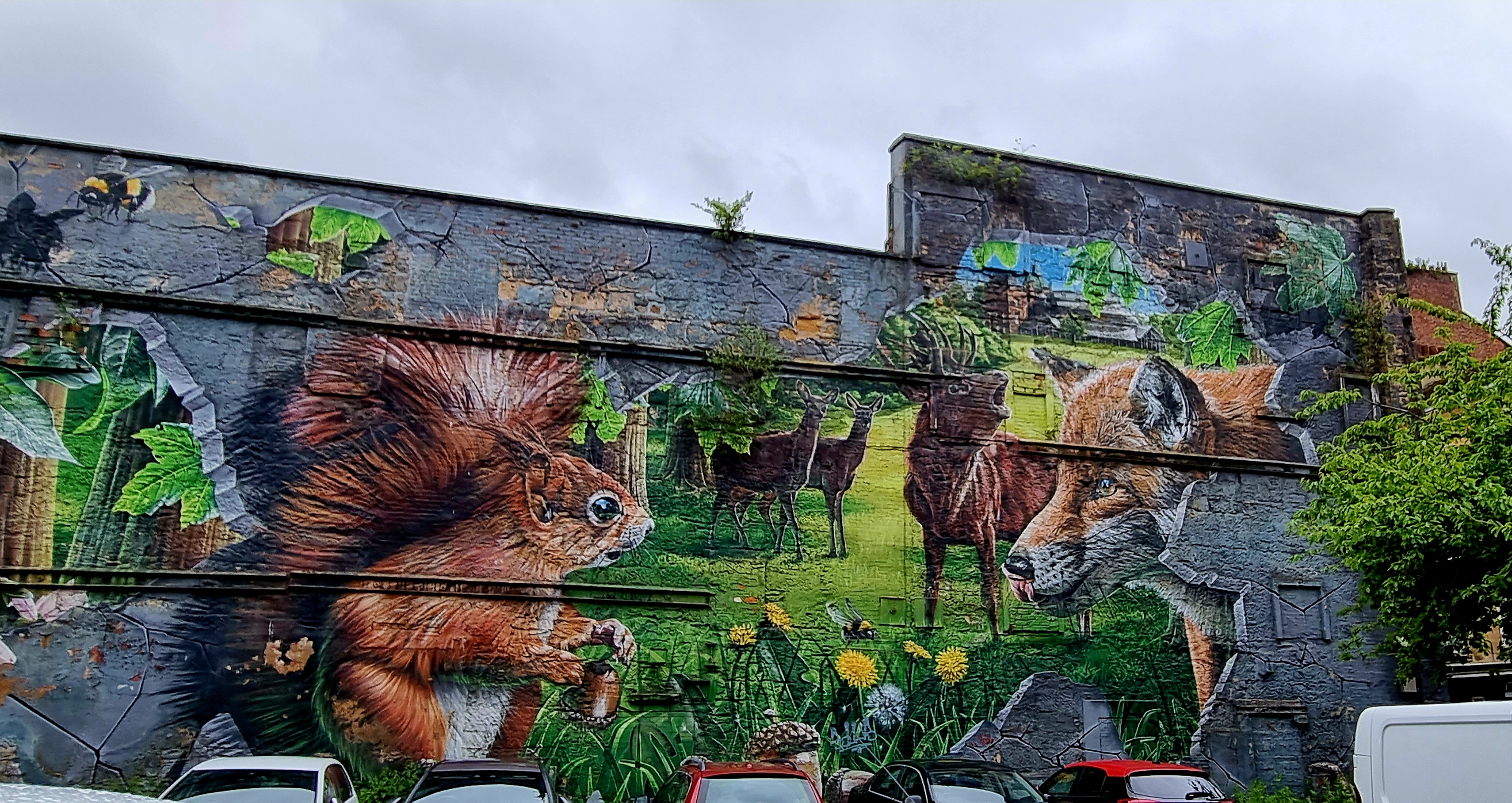
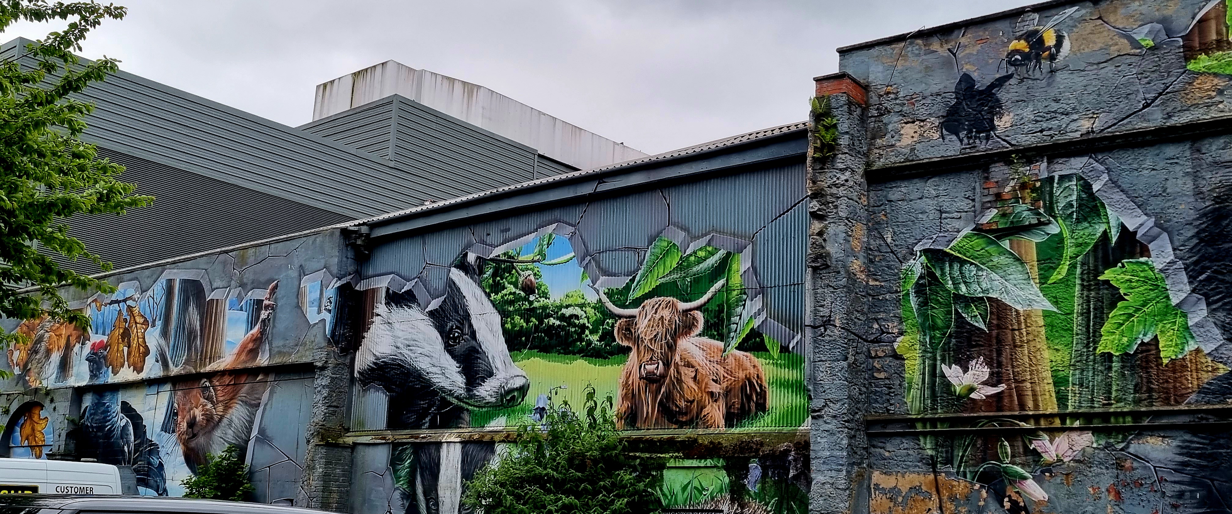
As we walked around the street art was pretty impressive.
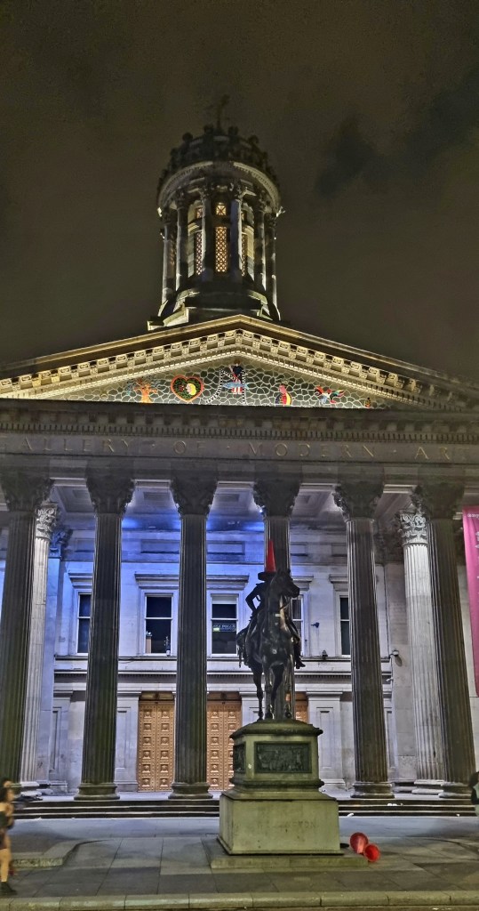
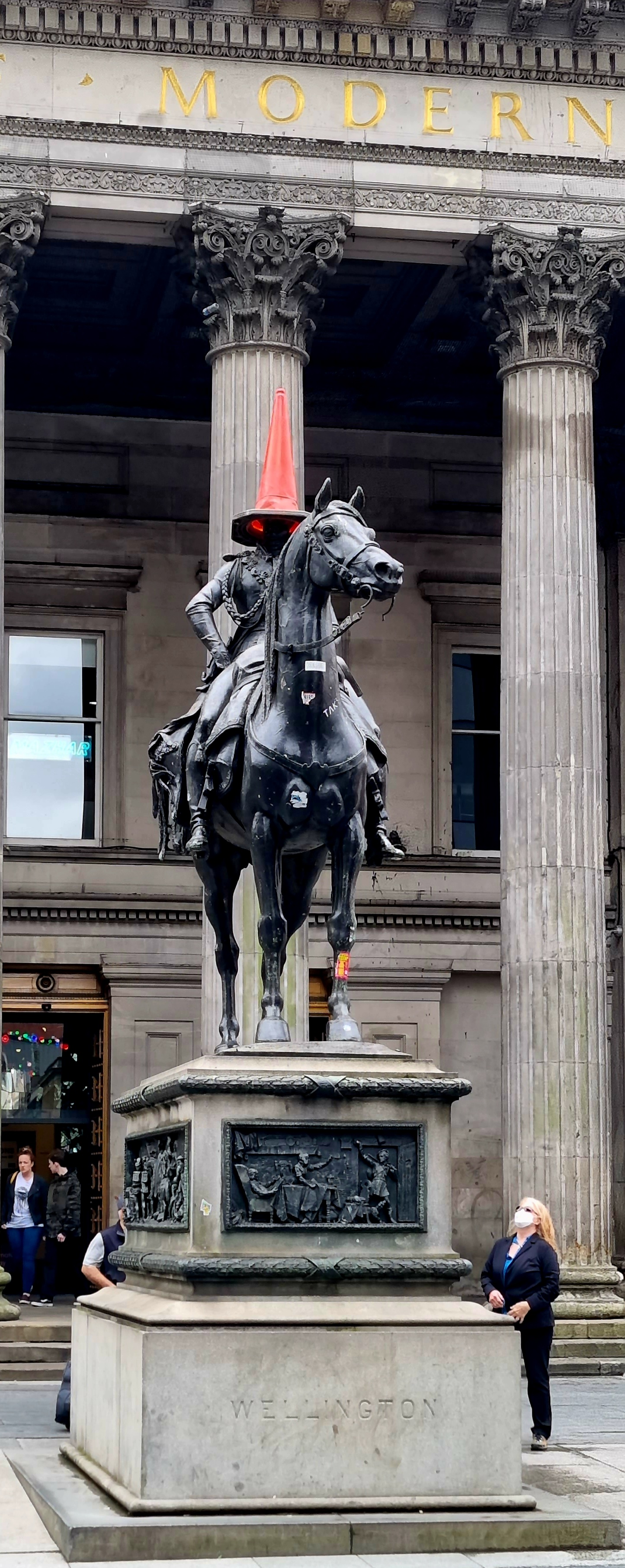
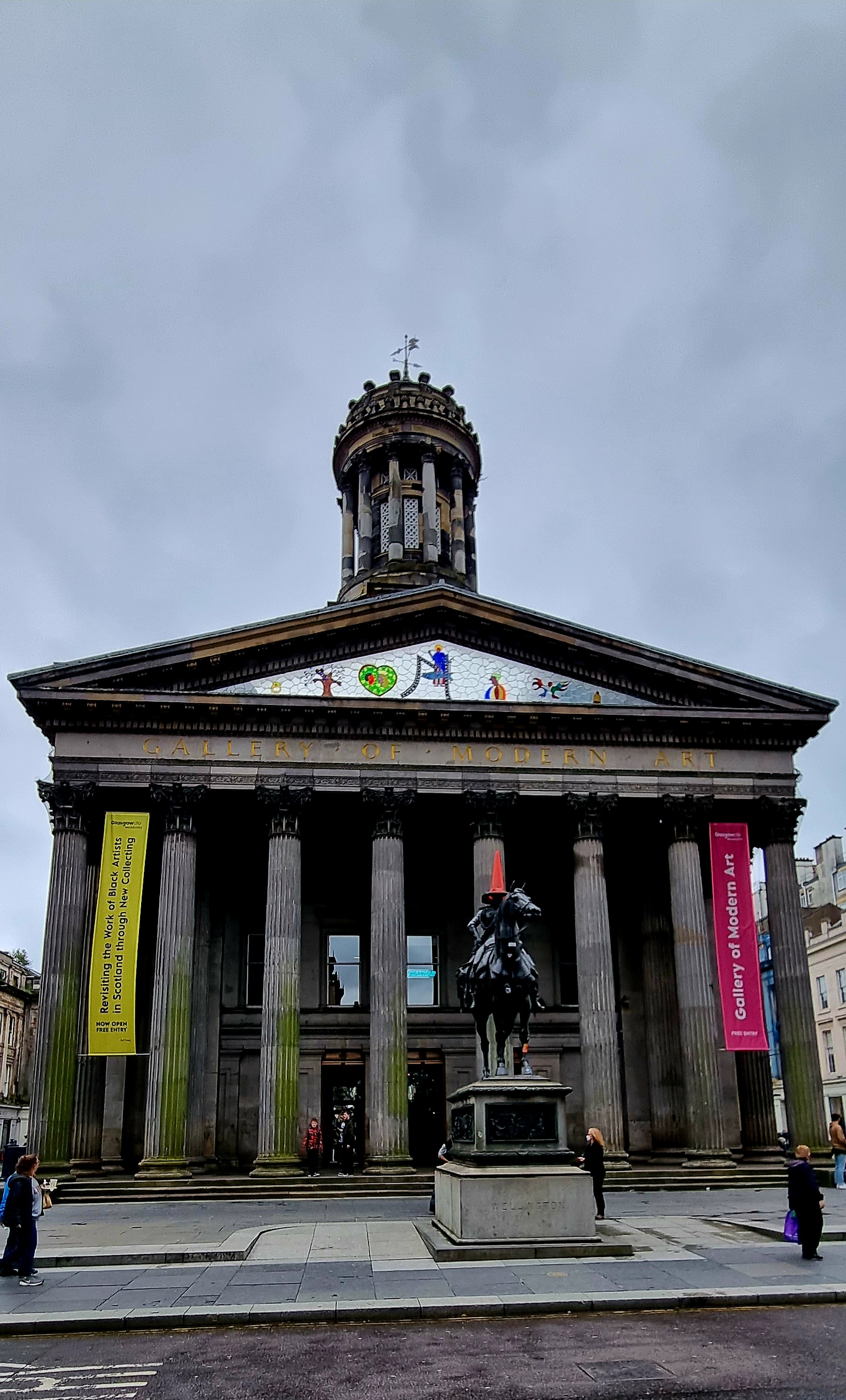
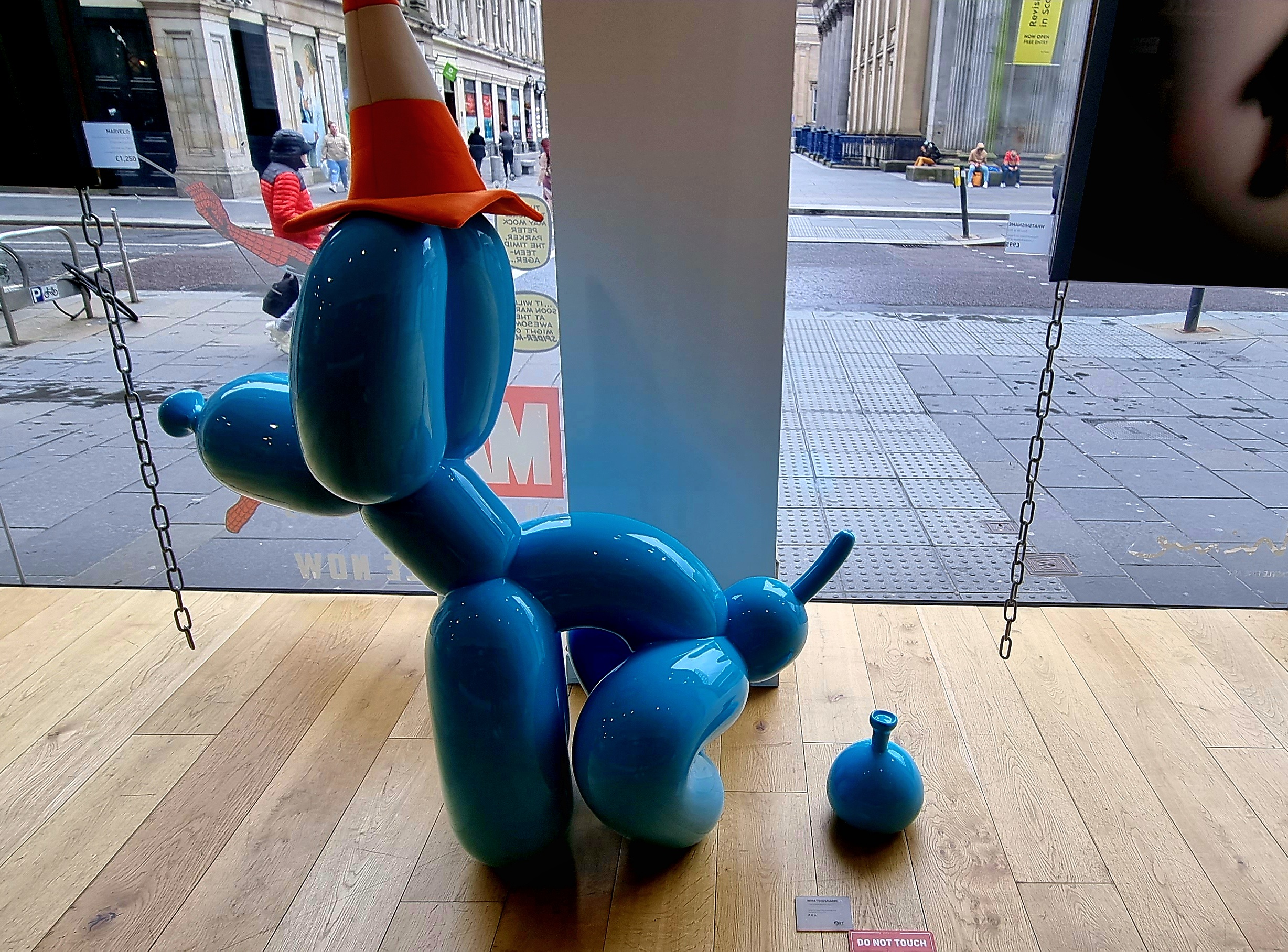
We visited a little art gallery as we walked through the city.
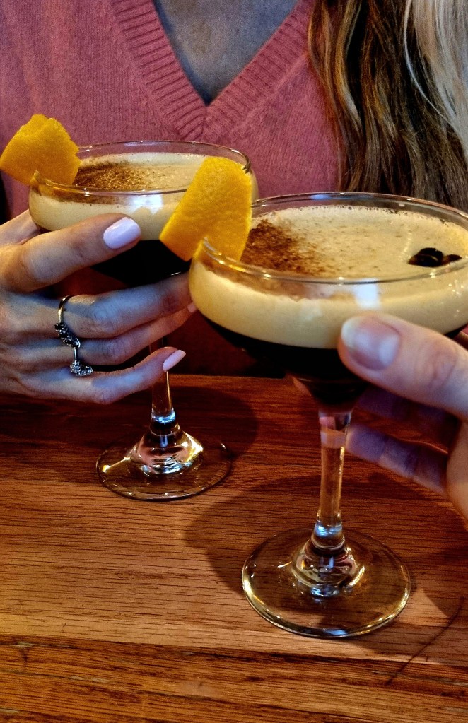
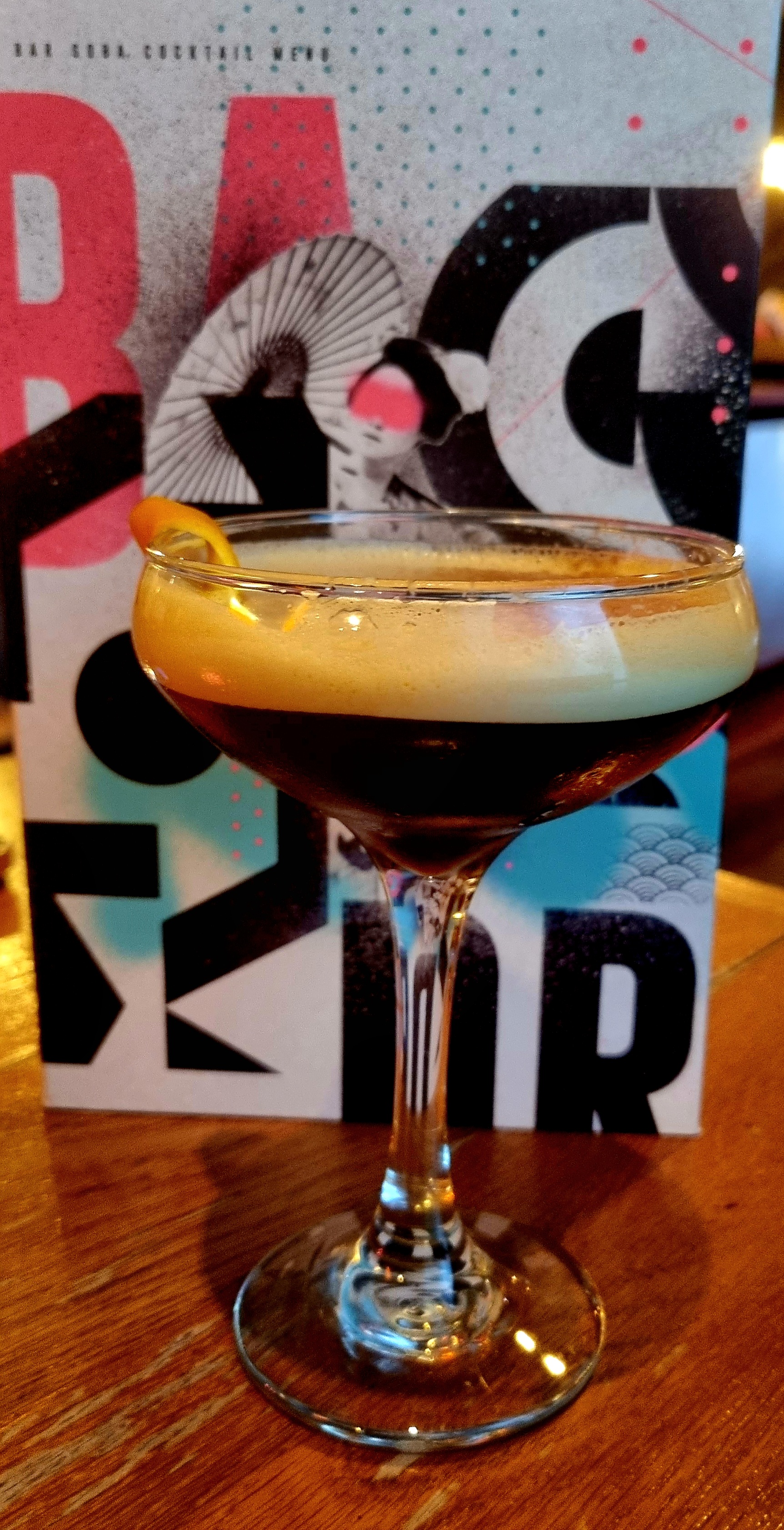
We decided to go and visit the lighthouse in the city centre but unfortunately it was closed so we popped into the bar next door for a couple of chocolate orange espresso martinis.
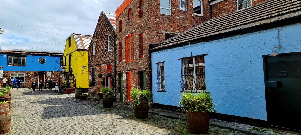
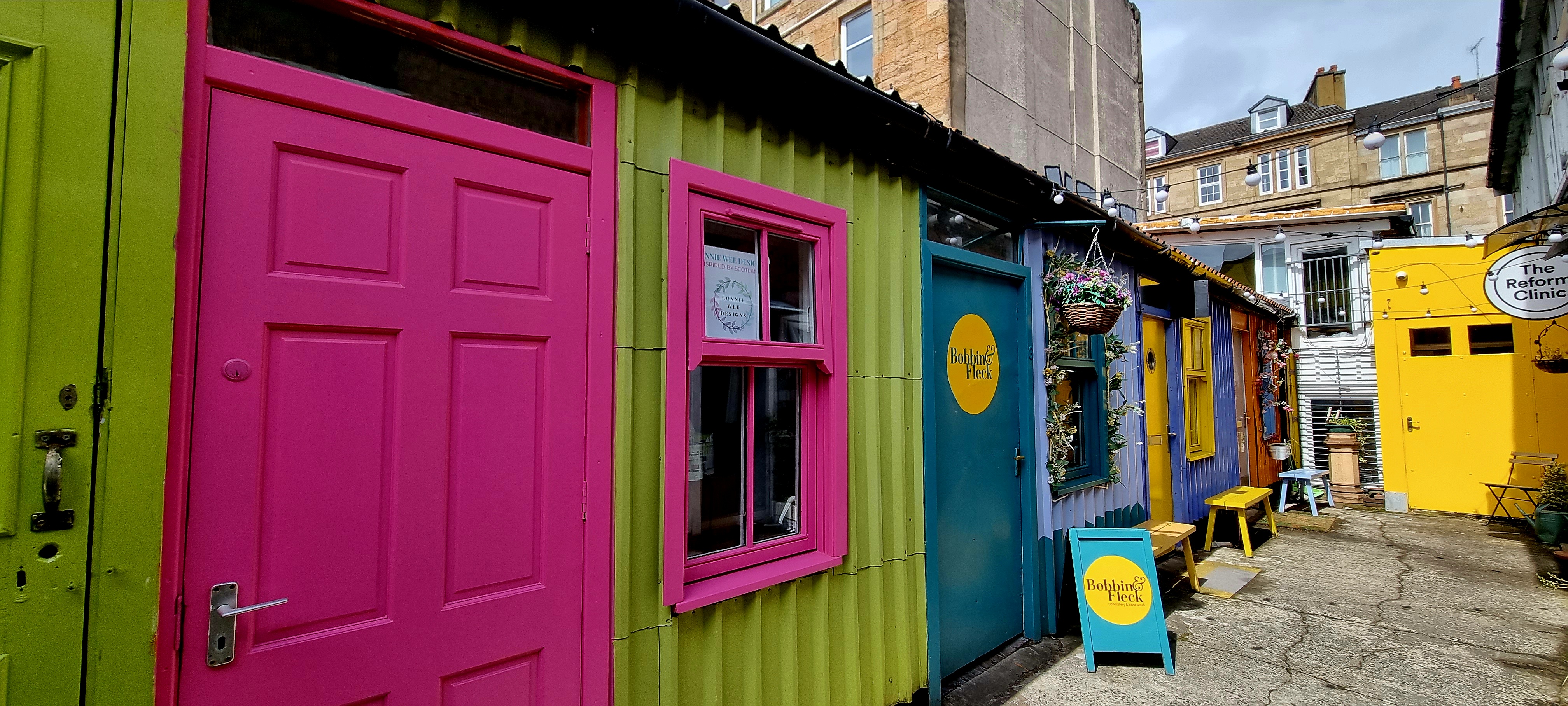
Next stop was the Hidden lanes where we stopped for a late Mexican lunch.
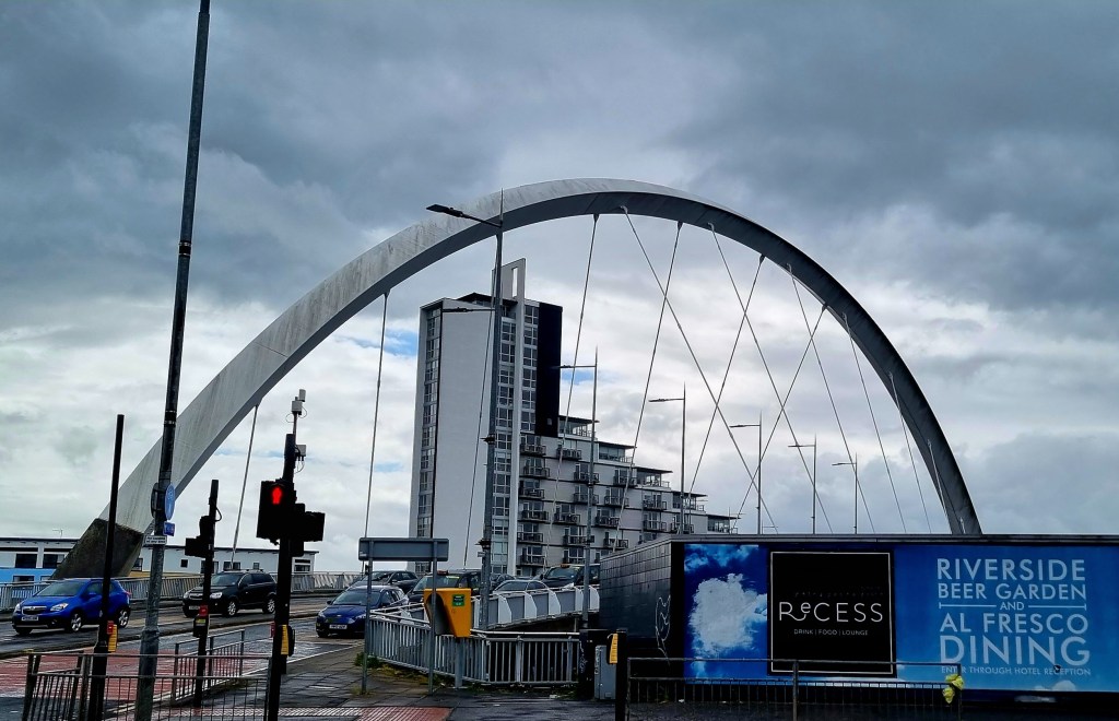
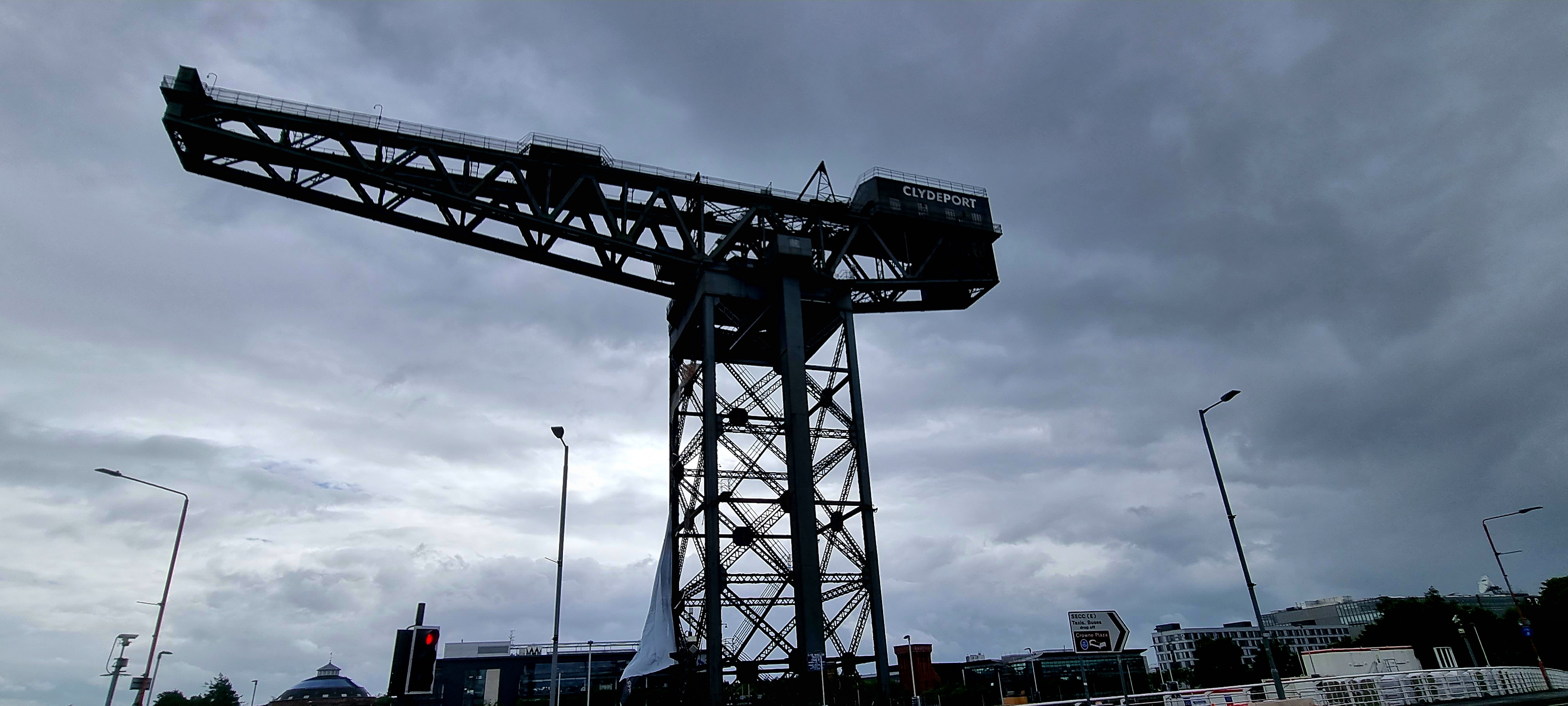
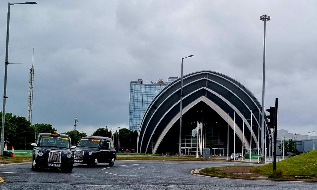
And then we headed down to the Clyde to see the arc and the Finnieston crane.
The crane is no longer functional but is a symbol of Glasgow’s engineering heritage.
Near the crane was a building that looked a bit like the Sydney opera house.
After quite a long walk back to the hotel we showered and changed before heading out again.
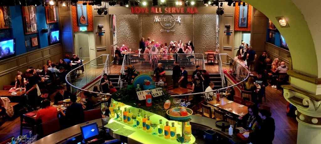
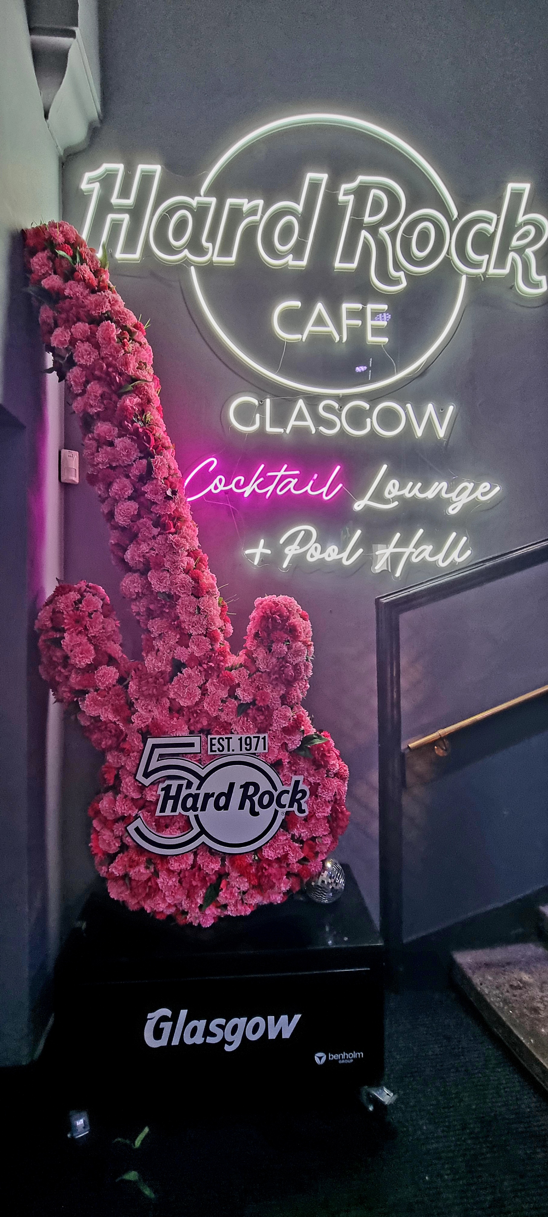
We stopped for a quick drink in Hard Rock Cafe.
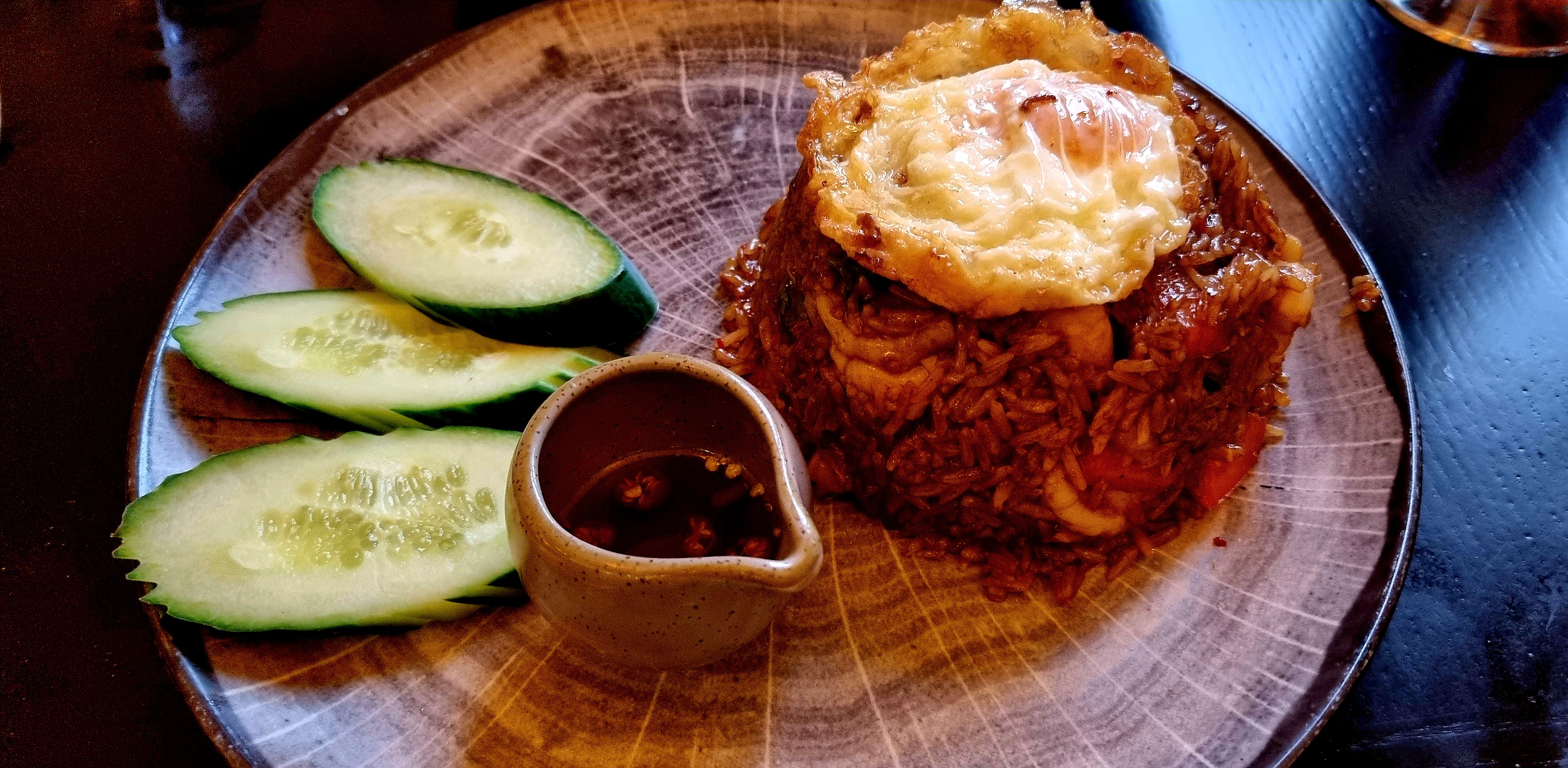
We went to Chaophyra, a lovely Thai restaurant, for dinner. The food was amazing but quite large portions.
The restaurant is the largest Thai restaurant in Europe and is housed in what once was the Royal Academy of music and dramatic art.
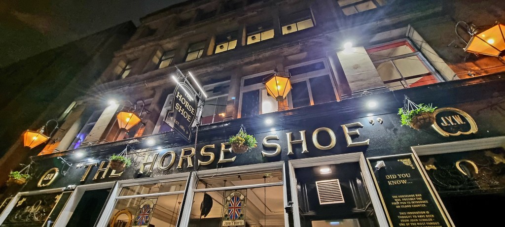
On the way back to the hotel we made a quick stop at the Horseshoe Bar which has the longest bar in Europe.
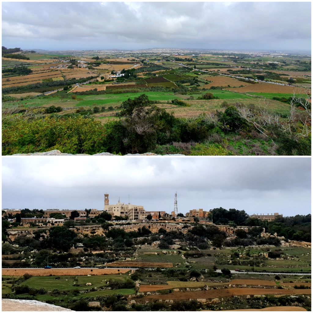
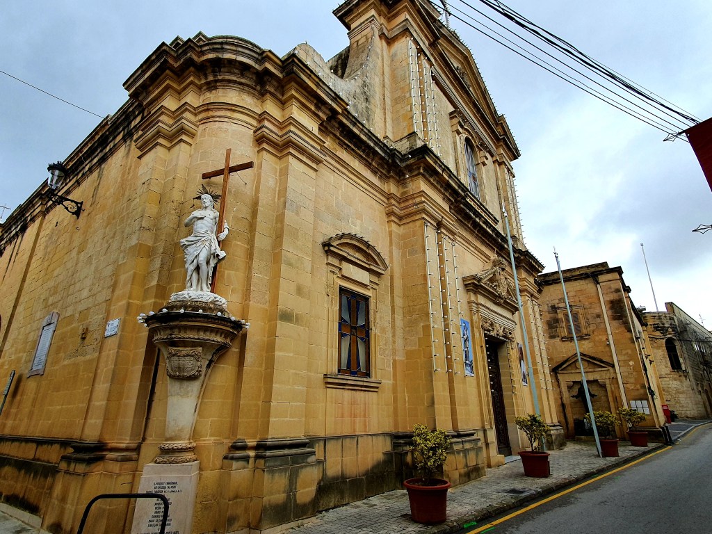
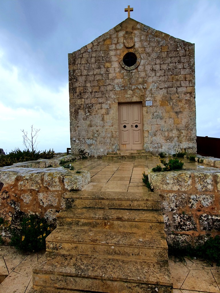
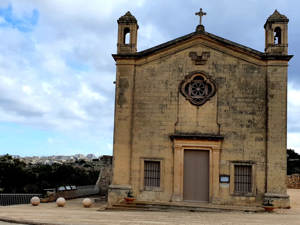
Another rainy start to the day and the fast ferry to Gozo was still not running. We thought this might be the case so had made alternative plans to catch the bus to Mdina.
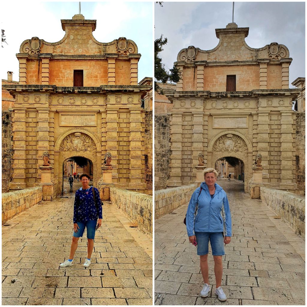
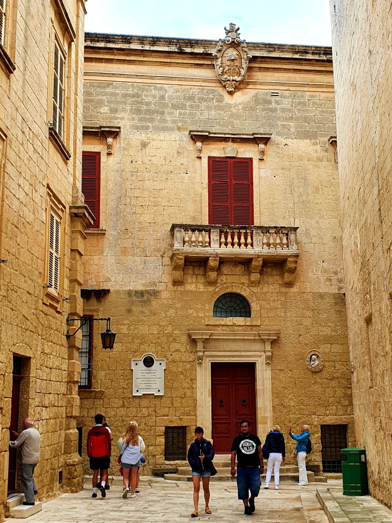
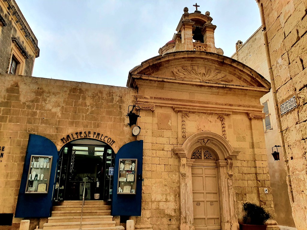
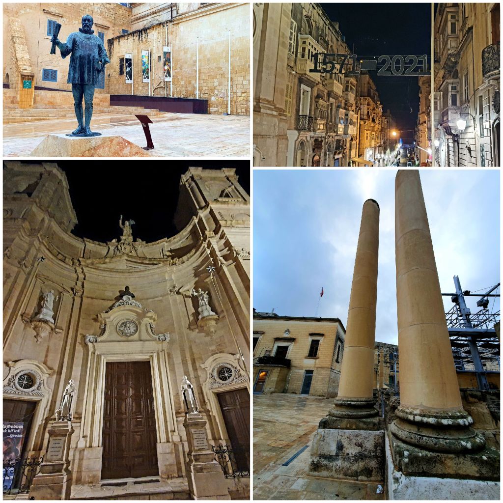
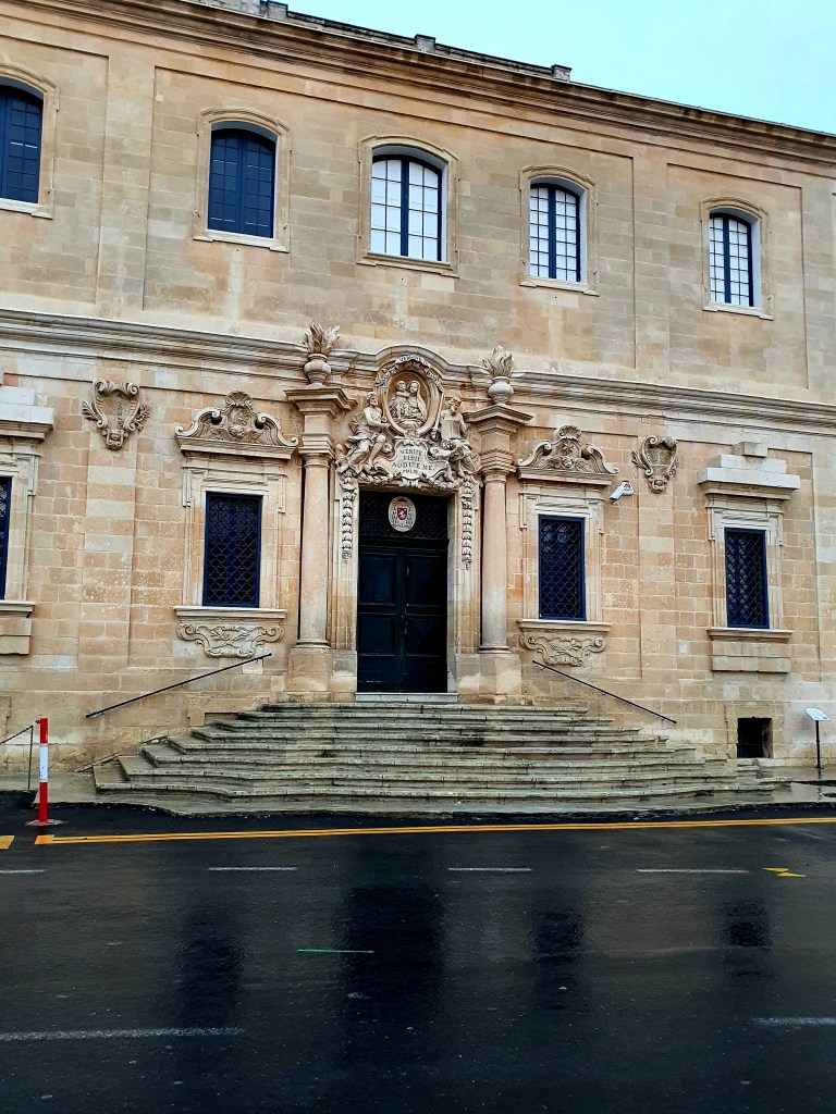
Mdina used to be the capital of Malta until Valletta was built and it is an impressive walled city. It is an old medieval city built on Arab and Roman foundations. Mdina is now known as the ‘Silent City’
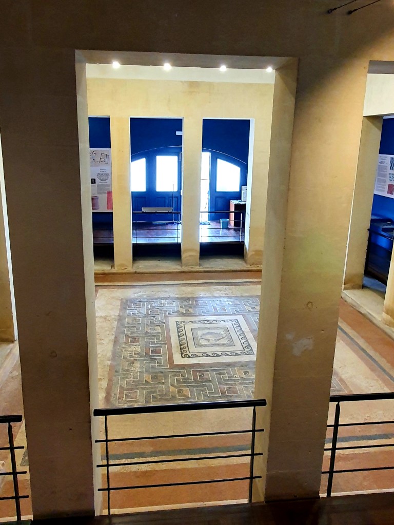
As we got off the bus we could see Domvs Romana which is a museum that houses the remains of an opulent Roman town house.
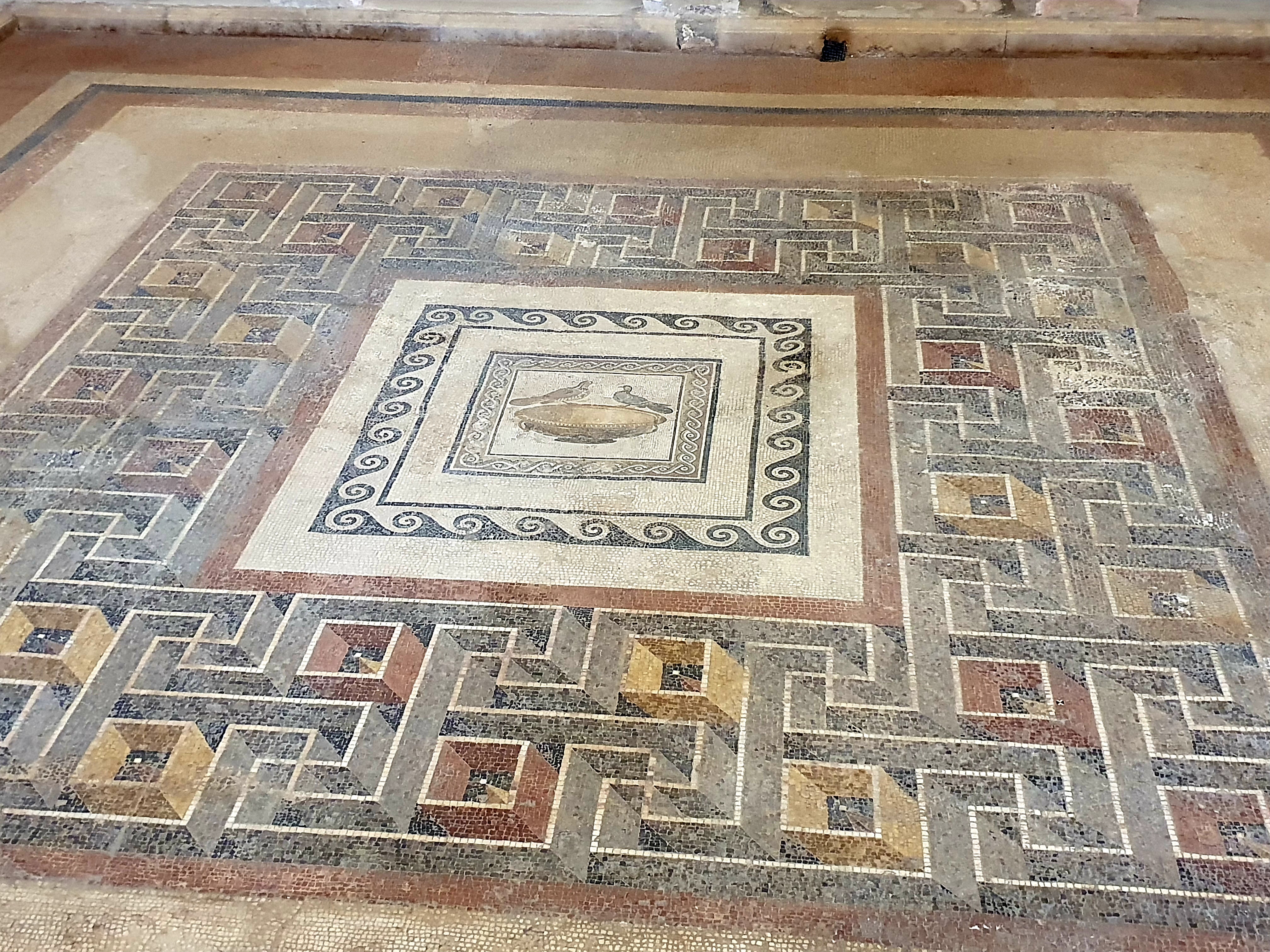
The remains of this Roman house were discovered in 1881 and is believed to have been built at the beginning of the 1st century BC. The most impressive part was the mosaic in the central courtyard.
The central part of the mosaic has a motif of ‘the drinking doves of Sosos’ which is a design copied from a painting by Sosos and used in a lot of rich and noble Roman houses.
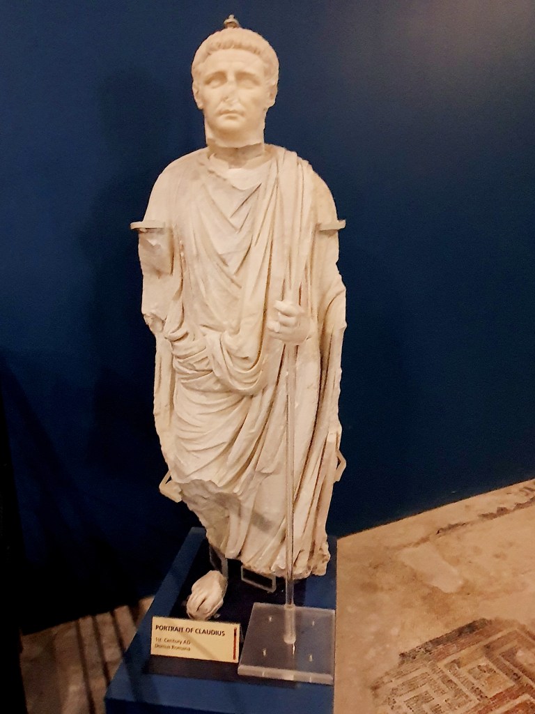
There was also a statue of Claudius but he was missing his nose.
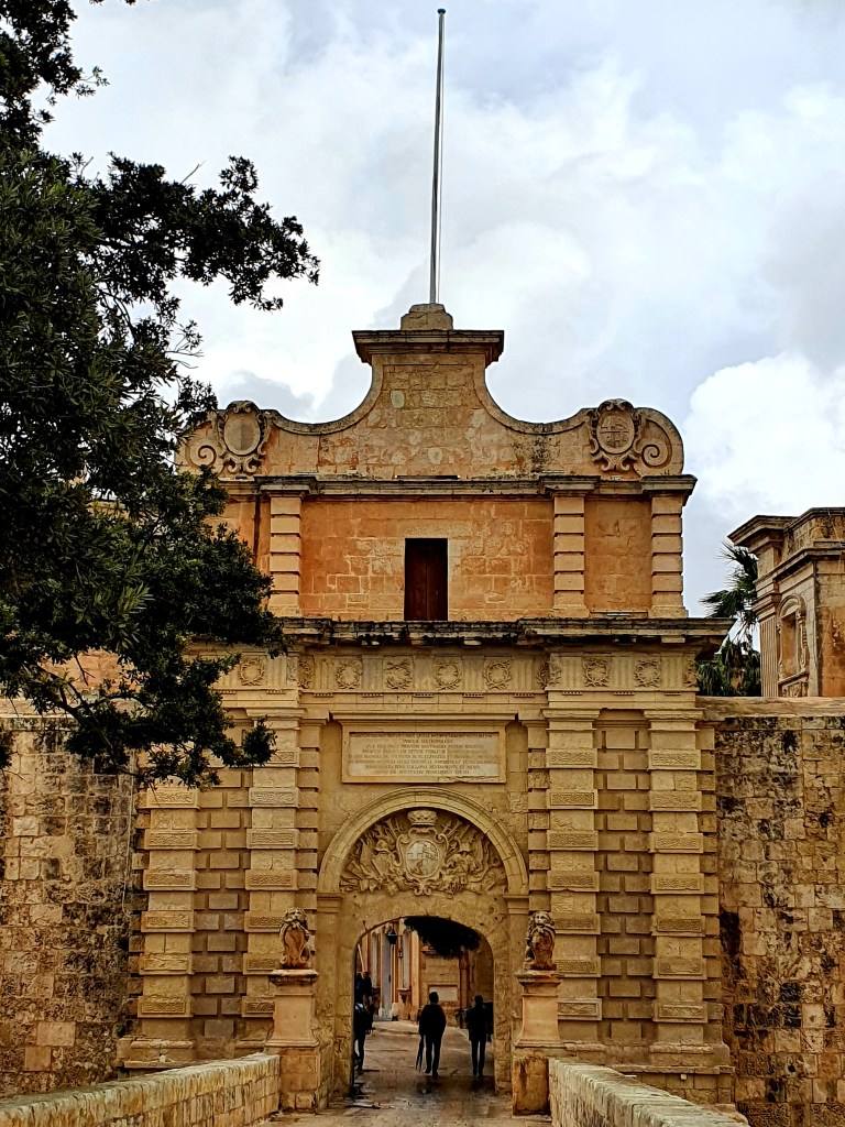
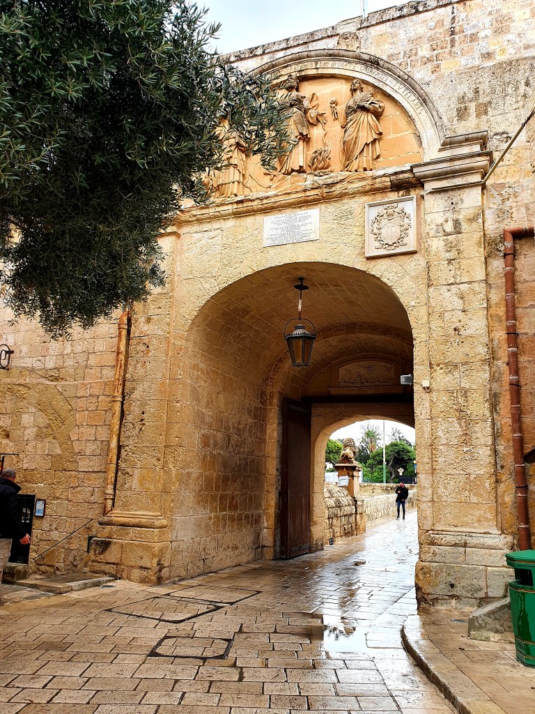
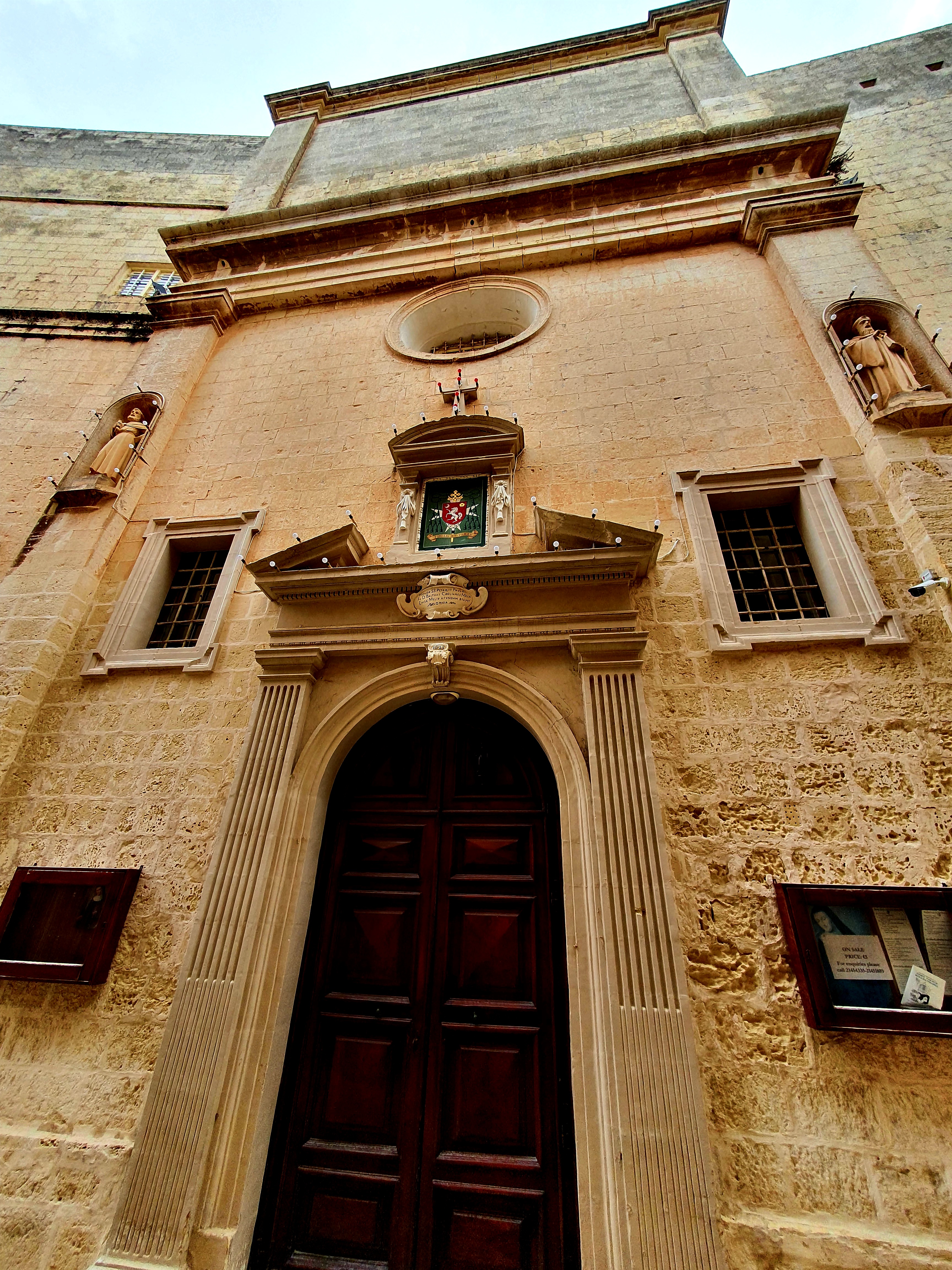
From here we walked to the main gate of Mdina. The current main gate was built in the 1720s and replaced an older medieval entrance which was walled up and can still be seen to the right of the main gateway.
The gate is actually impressive from the inside too. The three figures over the arch are St Publius (Malta’s first bishop), St Paul (Malta’s patron saint) and St Agatha (patron of Mdina).
Just by the gate is Palazzo Vilhena, a Baroque palace. This was used as a hospital at the beginning of the 20th century and is now the Natural history museum.
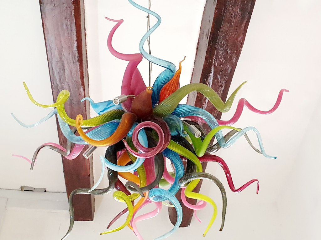
We popped into a little souvenir shop and next door was a lovely glassware shop.
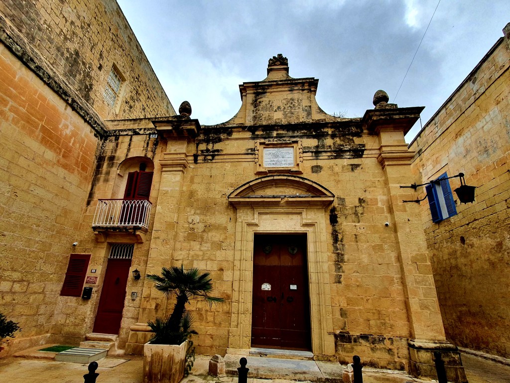
We walked down some of the medieval streets past the church of St Agatha. This church was built in 1694 after an earthquake destroyed the original medieval church. Just by this church was the Monastry and Church of St Peter which was a Benedictine monastry for cloistered nuns.
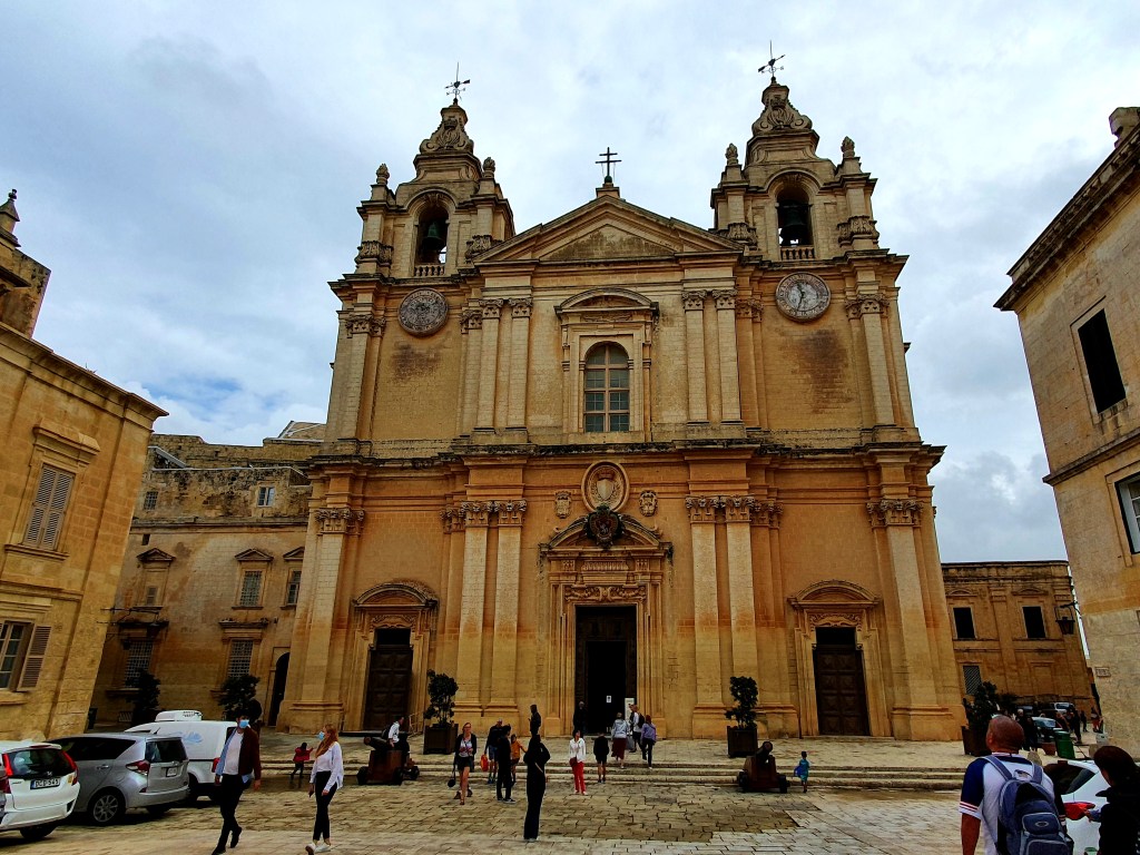
And then we came to St Paul’s Cathedral. Its believed that a church had existed on this site since the 12th century and according to tradition it stands on the site where Roman governor Publius met St. Paul following his shipwreck on Malta.
We didn’t go inside as when we looked at the pictures of the cathedral online it looked very much like all the other cathedrals we had seen.
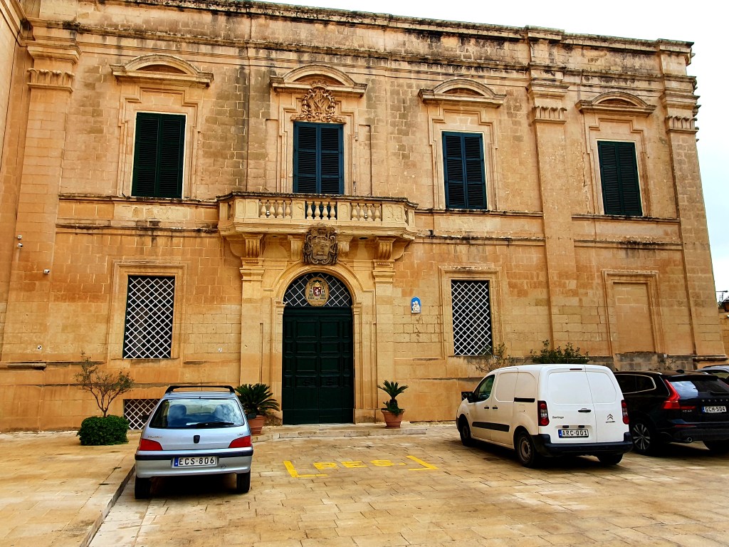
We walked past the Archbishops Palace which was where the Bishop of Mdina used to live.
And then on to the Seminary. This is a beautiful french baroque building where two atlas figures hold up the balcony and there is a statue of St Paul over the balcony doorway.
From here we passed Palazzo Falca, which was built following the 1693 earthquake. Originally the building was donated to the Jesuits to open a school in Mdina and later became a boarding school for girls.
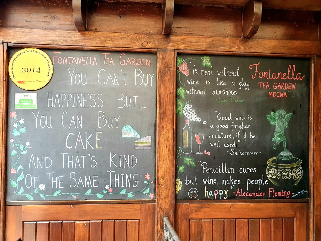
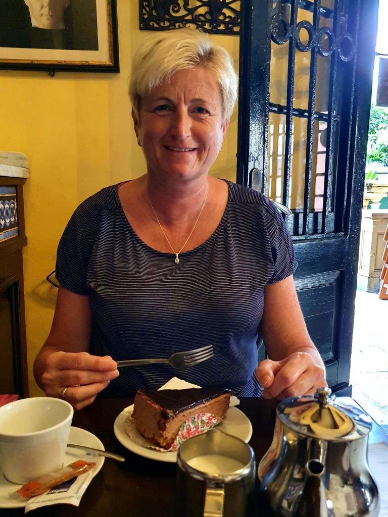
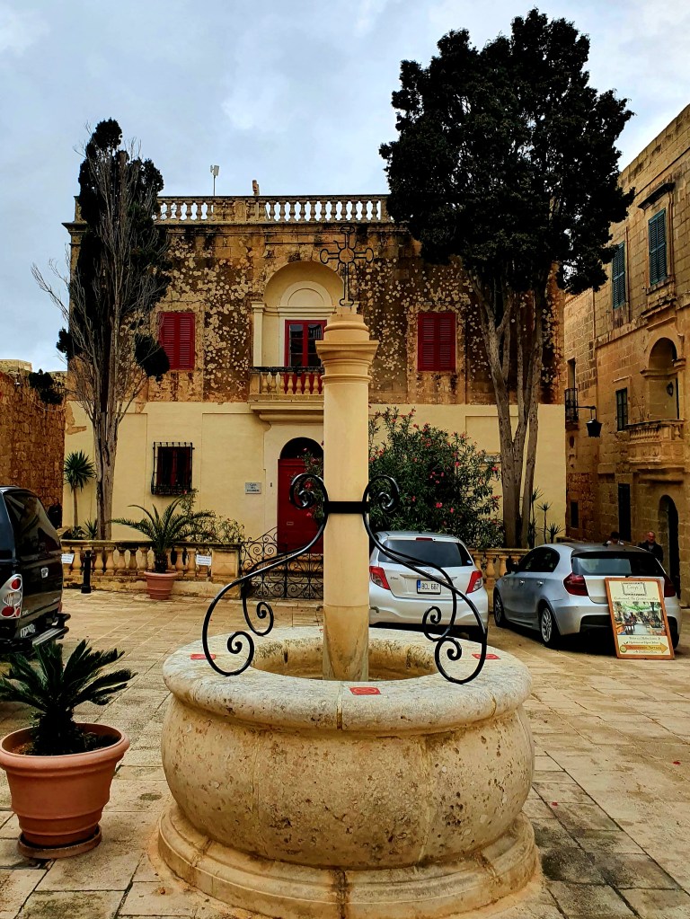
After all of this walking around we decided to have a refreshment break at Fontanella tea gardens.
The cakes here are famous across Mdina and they were delicious. As the weather wasn’t so good we decided to sit inside and actually didn’t have to wait too long to be seated.
The views from the upper terrace were quite impressive.
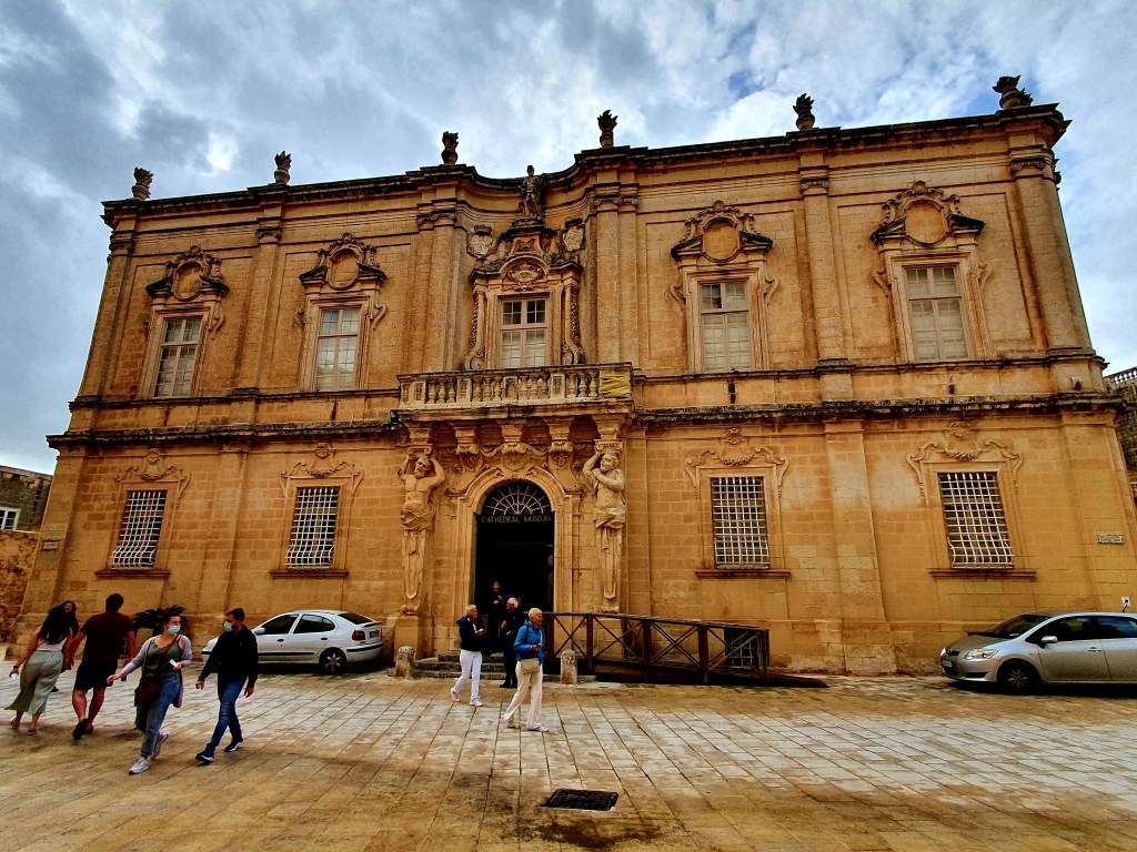
We walked on to Palazzo Falson which was built as a residential townhouse for Maltese nobility.
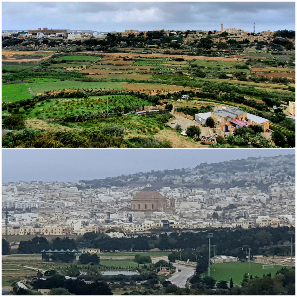
From the city walls you could get some great views over Malta, including the dome of Mosta.
There are a lot of churches in Mdina and we walked past a few more. One was the church of the annunciation of our lady. This church and the surrounding area was given to the Carmelites in the 1650s. During the French occupation the church was ransacked by the French where valuables were stolen to fund Napoleon’s wars. However, it is said that on one particular occasion, as the French were on their way to steal the church’s damask, some rebels locked the church doors and a boy went up to the spire to sound the alarm. Consequently, this event gave birth to the resistance against the French.
Another church we passed was the church of St Roque which is a small Roman Catholic church.
Close by is Plazzo Santa Sofia which is a large medieval town house and is reported to be the oldest house in Mdina with a date of 1233.
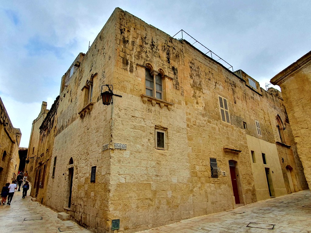
Mdina is a very pretty city, with lots of medieval streets and buildings. It was really nice wondering around the streets.
On the way out of Mdina we walked through Howard Gardens.
On the way from Mdina to Rabat we passed yet another church, Ta Giezu church, otherwise known as the church of the nativity of our lady. This church was the first Franciscan friary in Malta and was built in the 1500s.
From here we walked past St Paul’s column. It is believed that St Paul stayed in Rabat for 3 months after he was shipwrecked in 60AD.
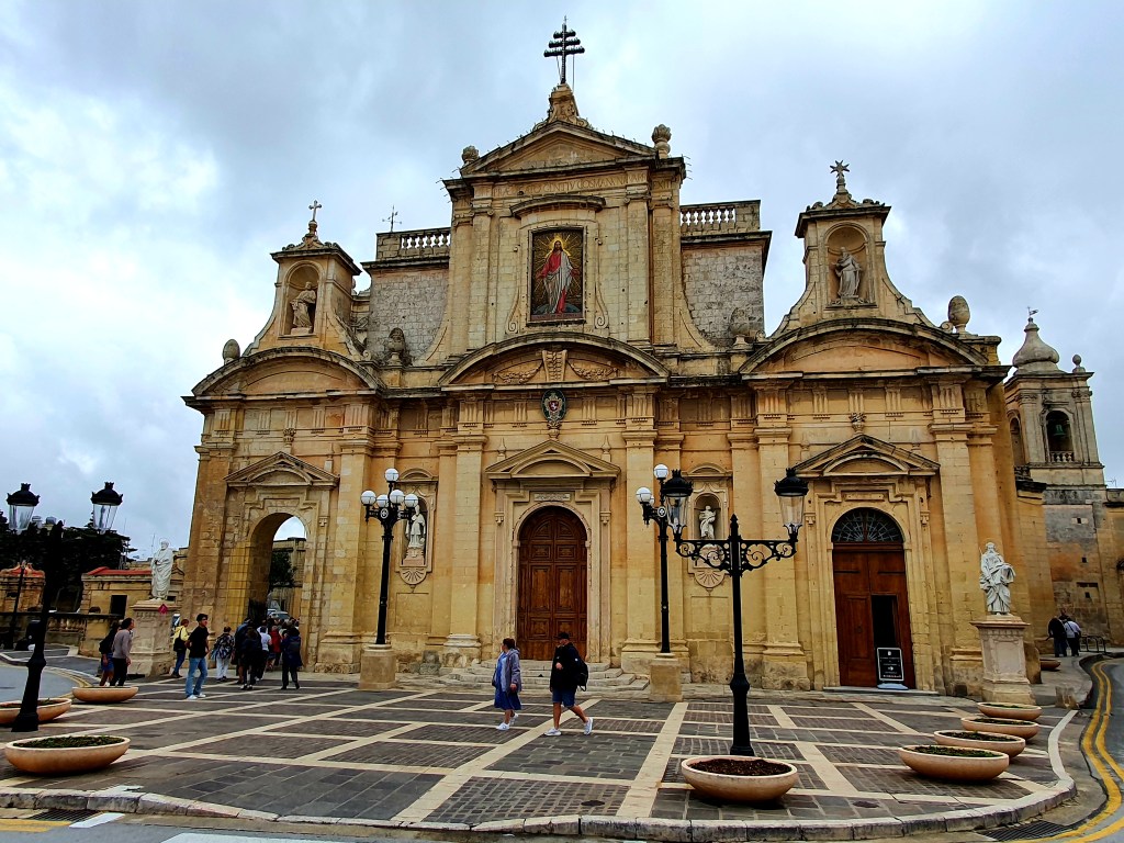
Next stop was the Basilica of St Paul. This is another stunning Roman Catholic church and has been visited by two popes in recent years- John Paul II in 1990 and Benedict XVI in 2010.
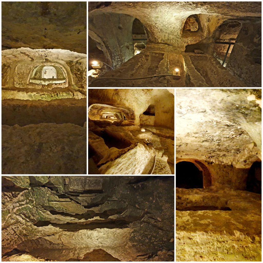
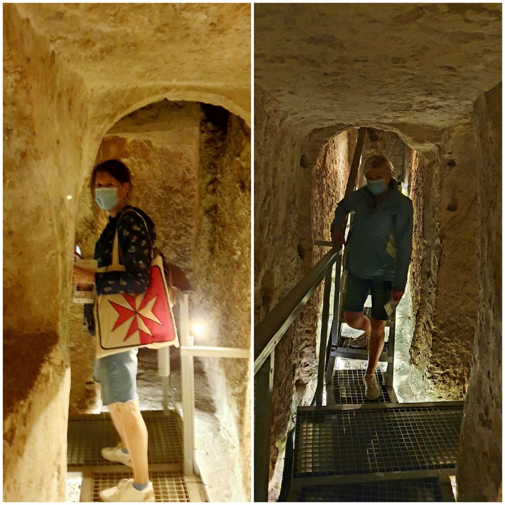
A visit to the catacombs in Rabat is a must so that was our next stop. The first set of catacombs we visited were the St Paul’s catacombs. These are some of the most prominent features of Malta’s early Christianity archaeology.
St. Paul’s catacombs are part of a large cemetery once located outside the walls of the ancient Roman city of Melite. The cemetery probably originated in the Phoenician-Punic period. As in Roman tradition, Phoenician and Punic burials were located outside city walls as the dead were never buried within the city walls. Its believed that the catacombs were, at one time,connected to St Paul’s Grotto.
The early tombs consisted of a deep rectangular shaft with one or two chambers dug from its sides. The chambers grew larger and more regular in shape over time. It is probable that this enlargement joined neighboring tombs and led to the creation of small catacombs, which became the norm by the fourth century AD. The catacombs were in use until the seventh, possibly eighth century. Some of the catacombs were used again during the re-Christianisation of Malta in the 13th century. There are over 30 hypogea in the complex which covers an area of over 2000 metres squared.
The catacombs encompass examples of all the different burial types in Maltese history and show that Christians, Jews and Pagans were all buried here side by side.
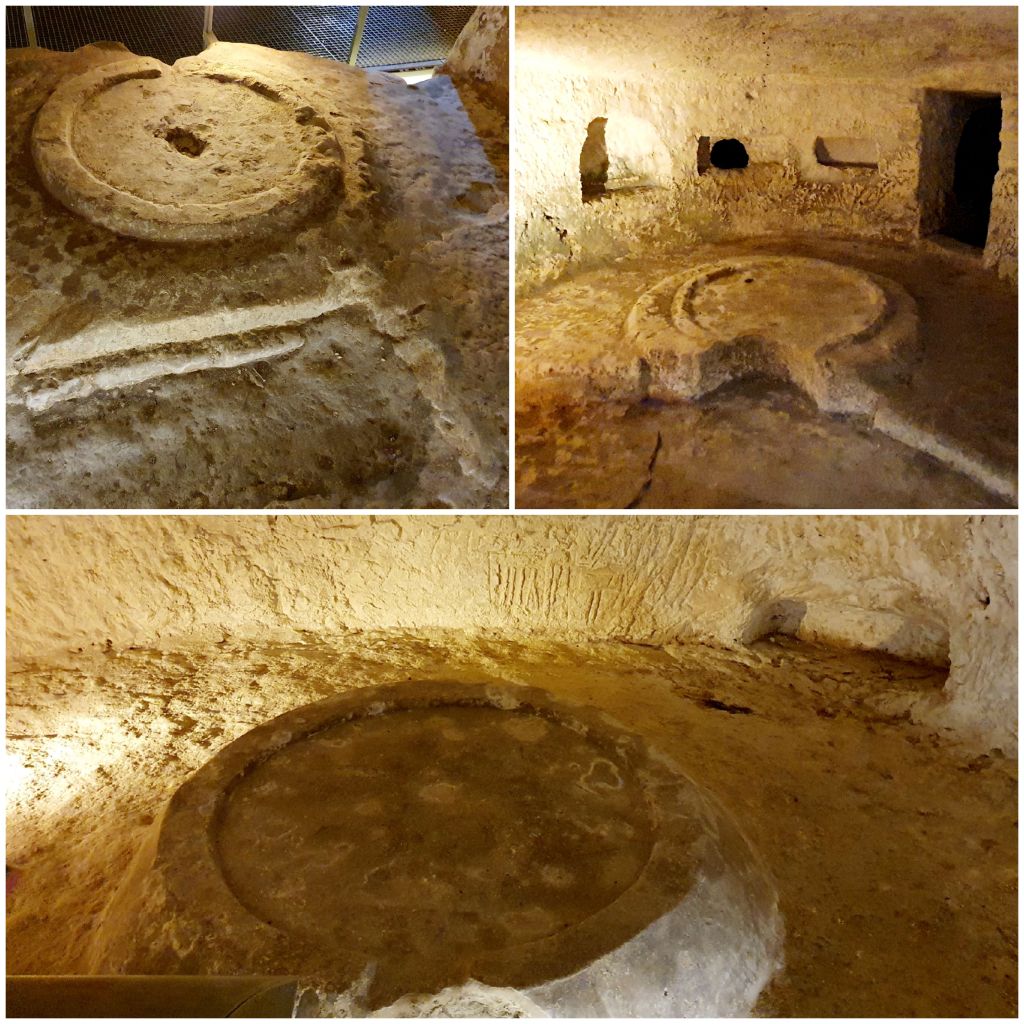
The catacombs did all look pretty similar after a while. Many of them had round tables carved out of the rocks which were most likely used to host commemorative meals
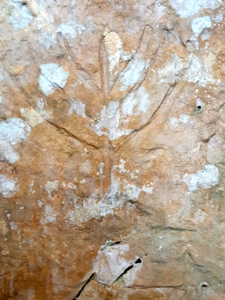
Some of the catacombs that were used for Jewish burials had a menorah carved into the rock above the entrance.
And a few of them had other decorative carvings or red paintings.
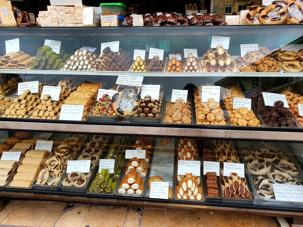
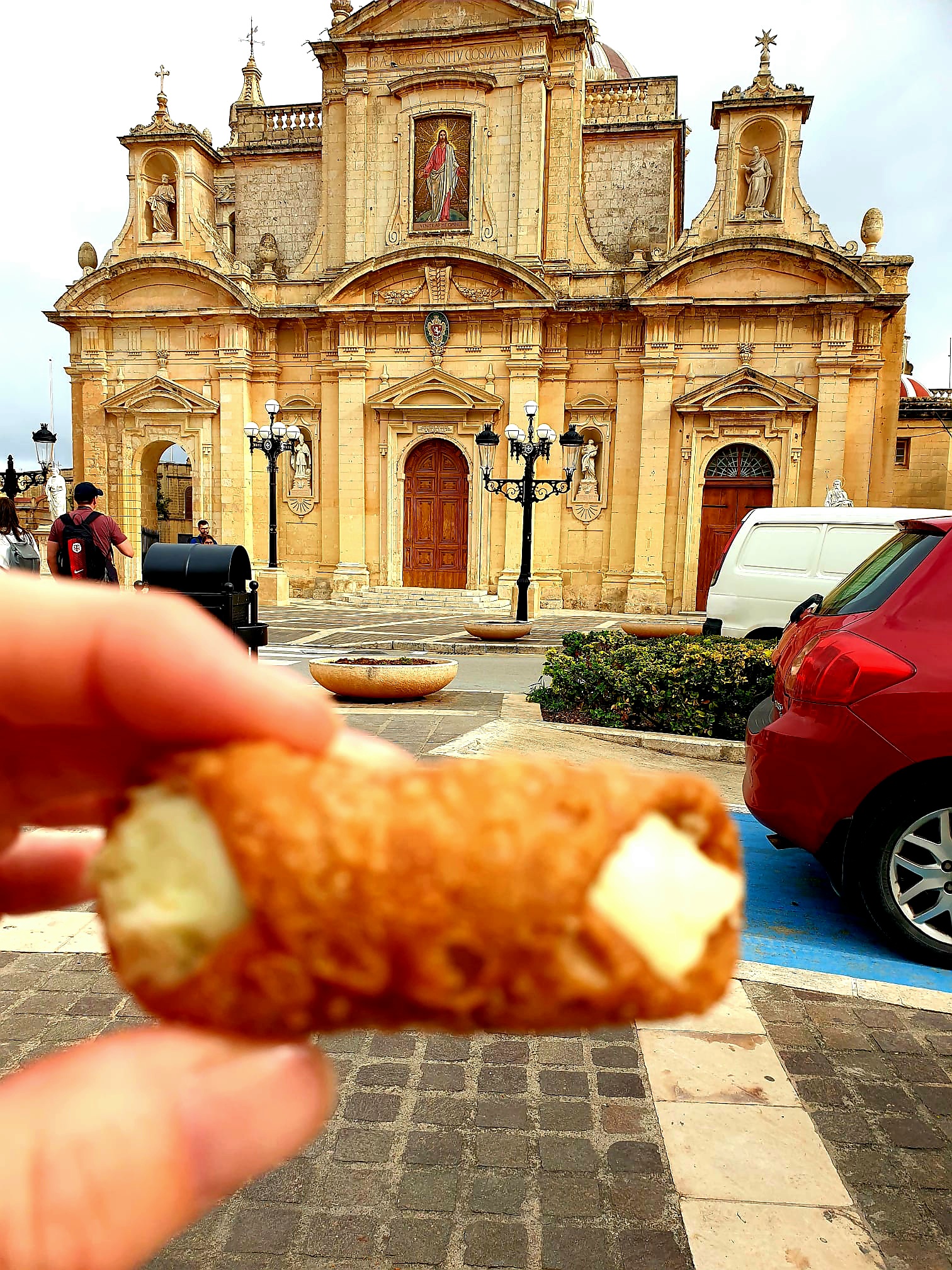
After our stroll around the catacombs we walked back into the centre and decided to treat ourselves to some Kannoli. These are pastries that are stuffed with a variety of different flavoured fillings. They were really nice.
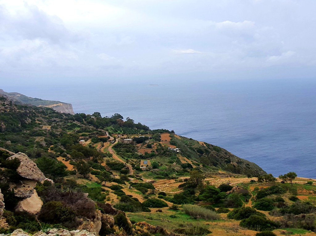
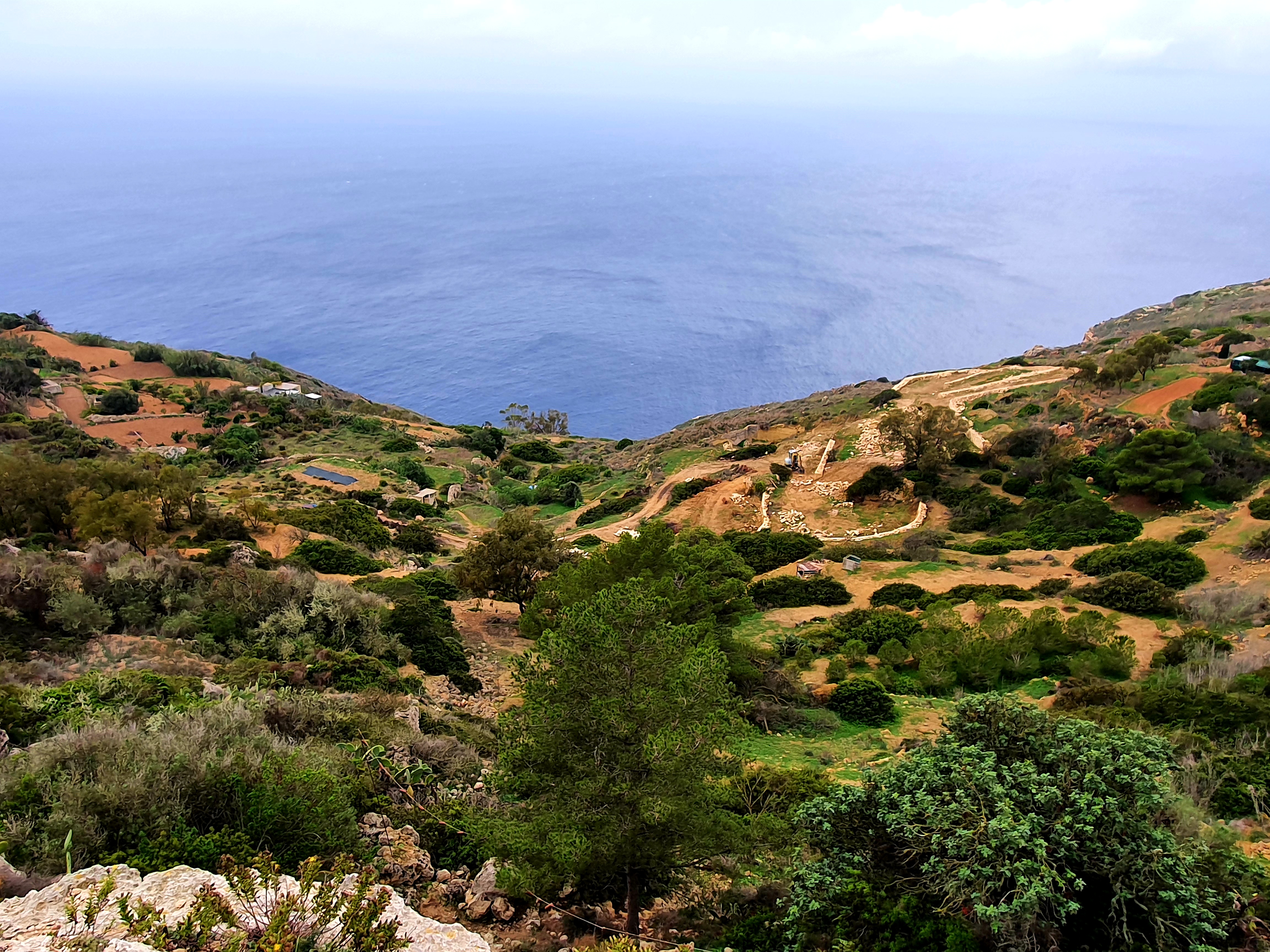
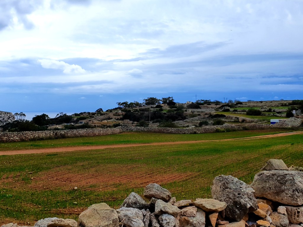
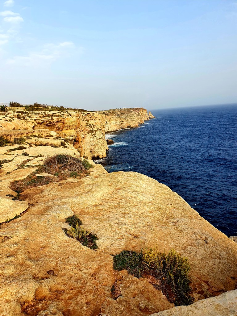
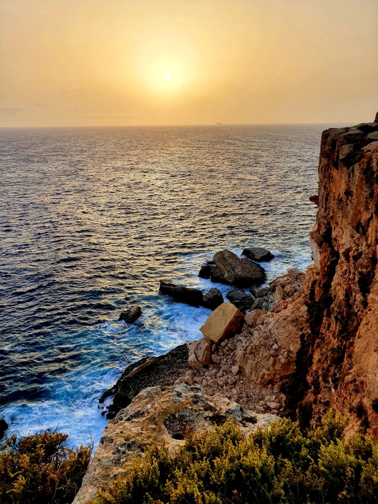
We realised we were not too far from the Dingli cliffs in Rabat so we decided to catch a bus to the cliffs as they were supposed to have lovely views. Unfortunately, by the time we got there it was really windy and was raining a little bit. The views were pretty spectacular though.
We walked past a small church and took a bit of shelter from the wind behind it. The church was built in the 15th century and is a simple countryside church. The marble inscription on the wall is in Italian and warns people that they cannot seek ecclesiastical protection within the church if they have broken the law.
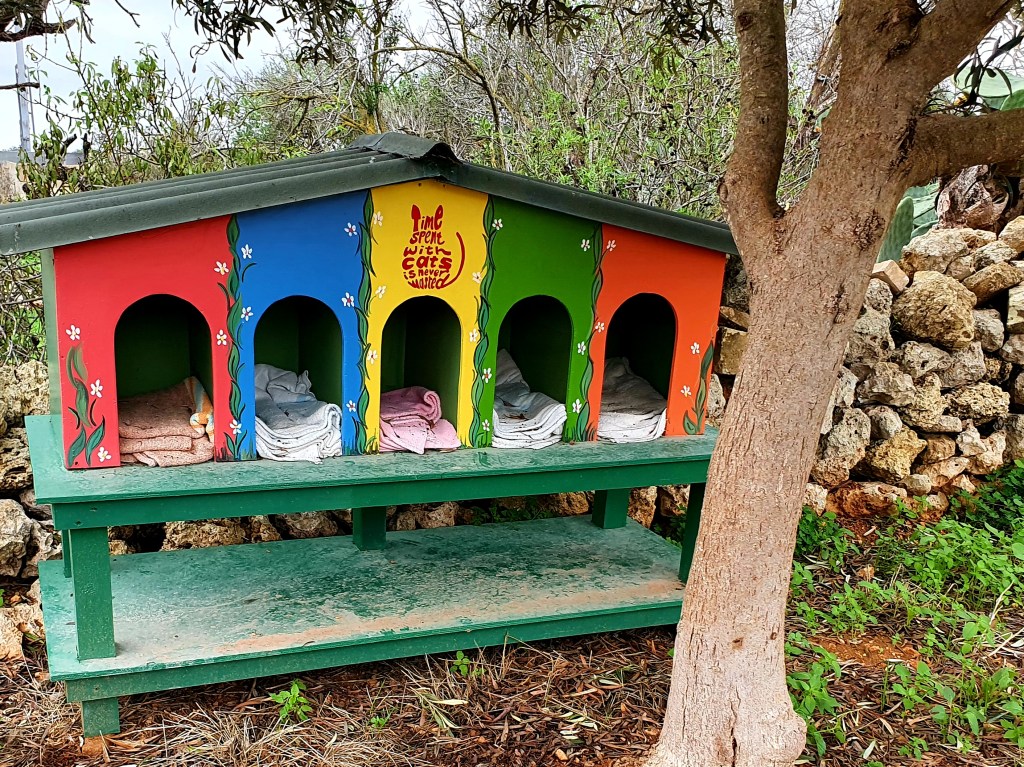
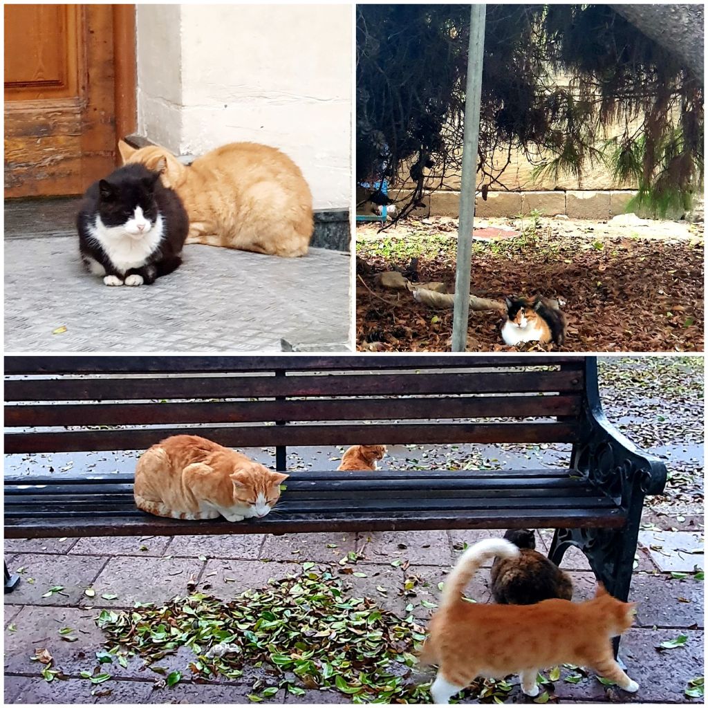
As we walked down the country roads we saw more evidence of how much the Maltese look after their stray cats, building them little shelters and homes.
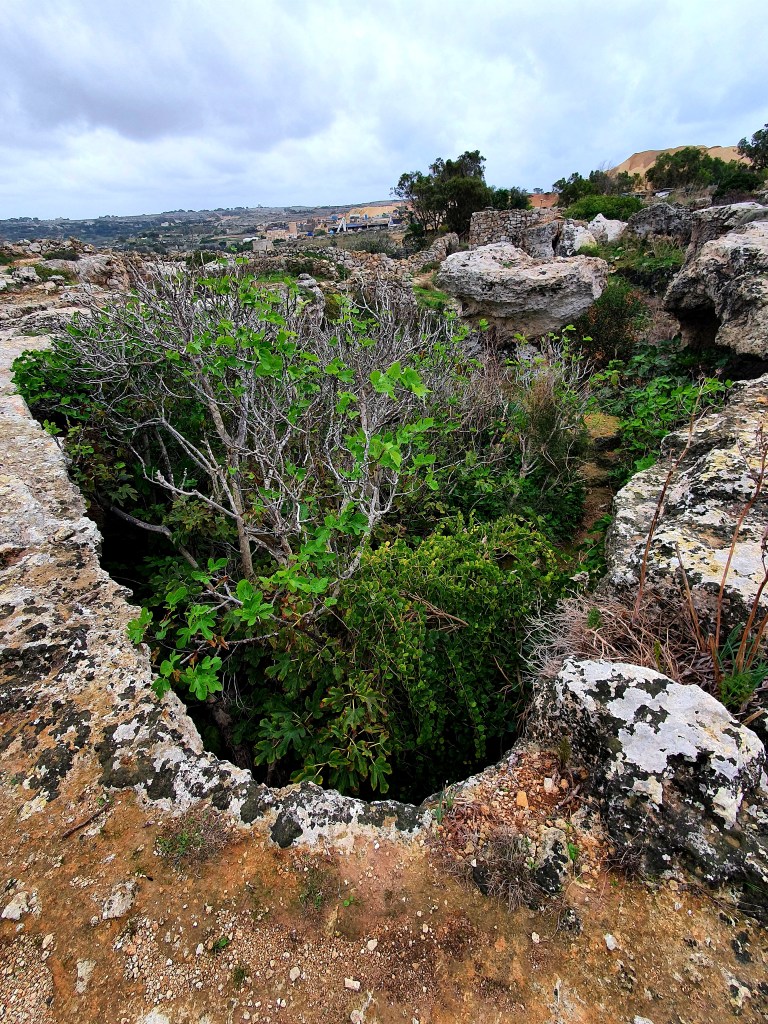
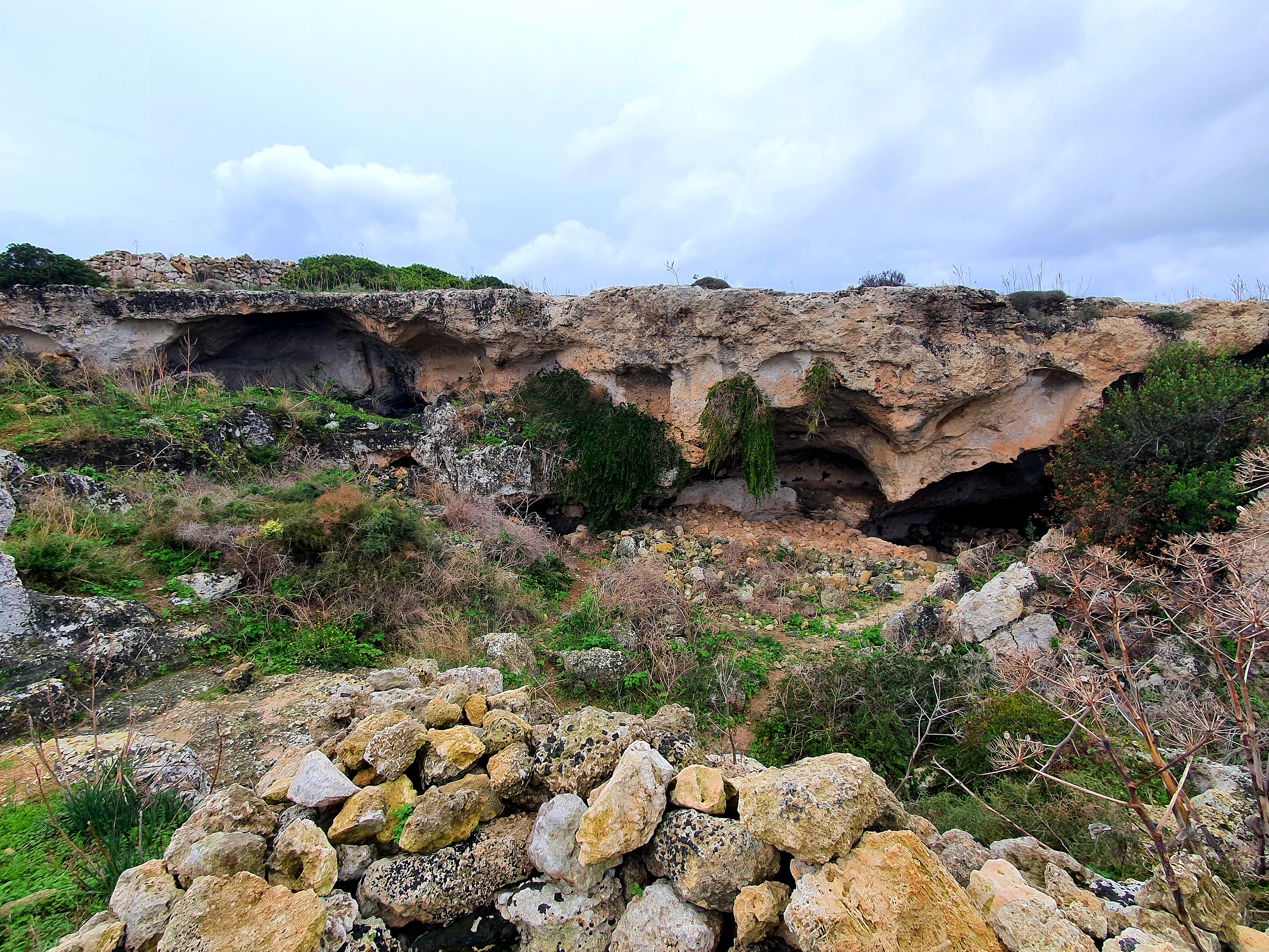
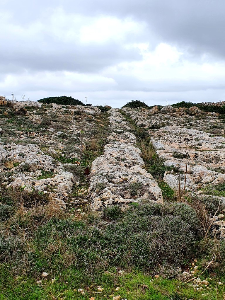
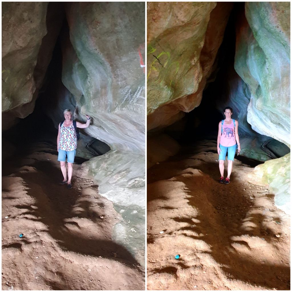
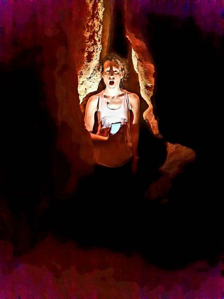
We had heard about a place called Clapham Junction near the cliffs so decided we would try to find it. We went off the beaten track a bit and stumbled across Ghar il-Kbir, a cave in the middle of nowhere.
There were some people singing in the caves so we didn’t disturb them but we did explore a little bit before continuing on our journey to Clapham Junction.
Clapham Junction is basically a network of tracks or cart ruts. The age and purpose of the ruts is not known. They appear to be some sort of ancient roadways and they are quite big when you get up close to them. It is thought they were caused by wooden-wheeled carts eroding soft limestone.
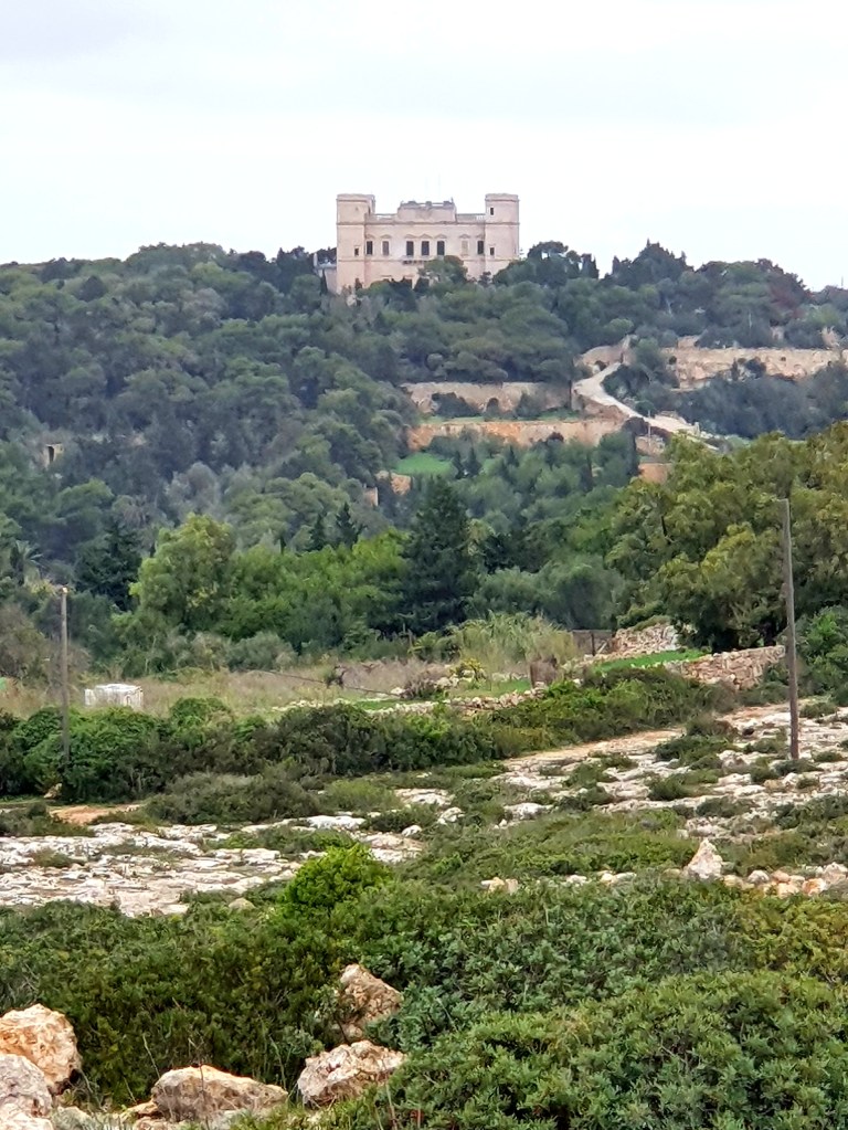
In the distance we could see Verdala Palace which is the official summer residence of the President of Malta. Originally it was a hunting lodge and was so used as a military prison for French soldiers as well as a silk factory. This Palace is supposedly haunted by the “Blue Lady”. She was supposed to marry someone who she did not like and the only way to escape her fiancee’ was suicide, so she jumped off the balcany in her bedroom. Her ghost is reportedly seen roaming the palace, wearing the same blue dress she wore when she died; her wedding dress.
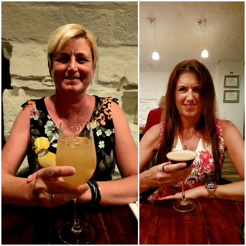
When we got home we had to quickly get ready to go out as we had booked a table at ‘The Harbour’, a Michelin star restaurant just over the road from our apartment.
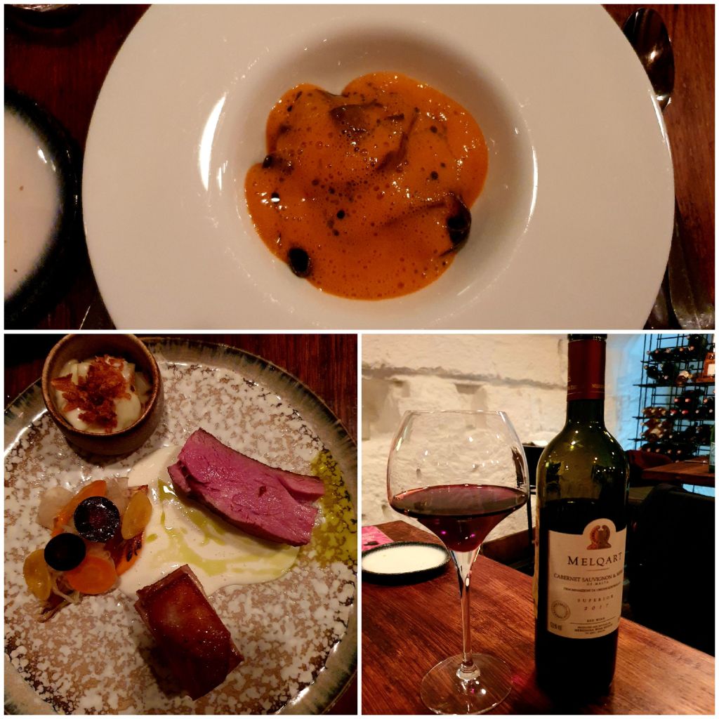
The meal was delicious and amazingly presented. When we first arrived we were offered a cocktail.
The food really was amazing, it tasted so good and even though the amounts seemed small it did fill us up. Unfortunately the service wasn’t quite as good and we had to ask twice to see the wine menu before somebody came to offer us wine.
The restaurant itself was really nice. Normally we would have sat outside, but because of the bad weather we sat inside.
At the end of the meal we were offered a shot on the house so I had some limoncello which was very tasty.
It was a really lovely evening with great food and great company!
This morning we had planned to go to Gozo but when we arrived at the Fast Ferry terminal we were told that they were not going to Gozo because of the rough sea conditions. This flummoxed us a little bit so we had to think about what else we could do.
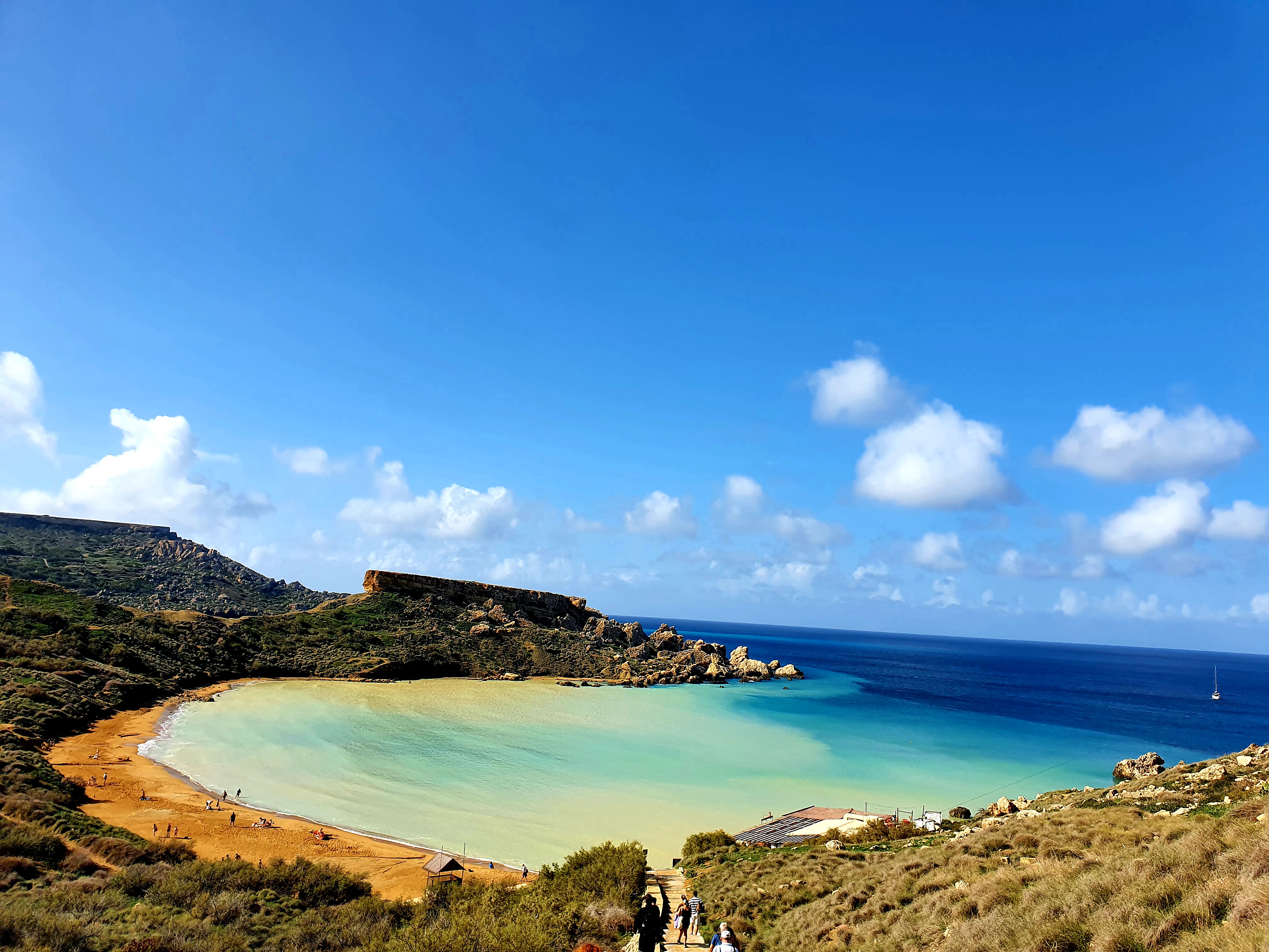
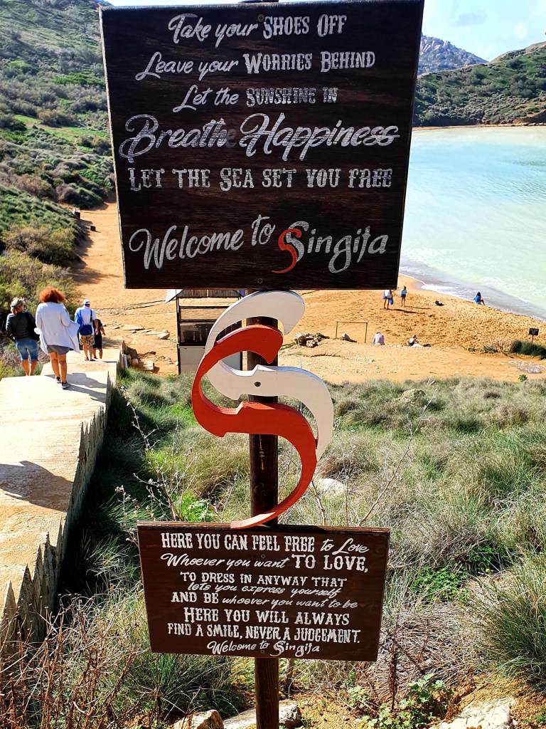
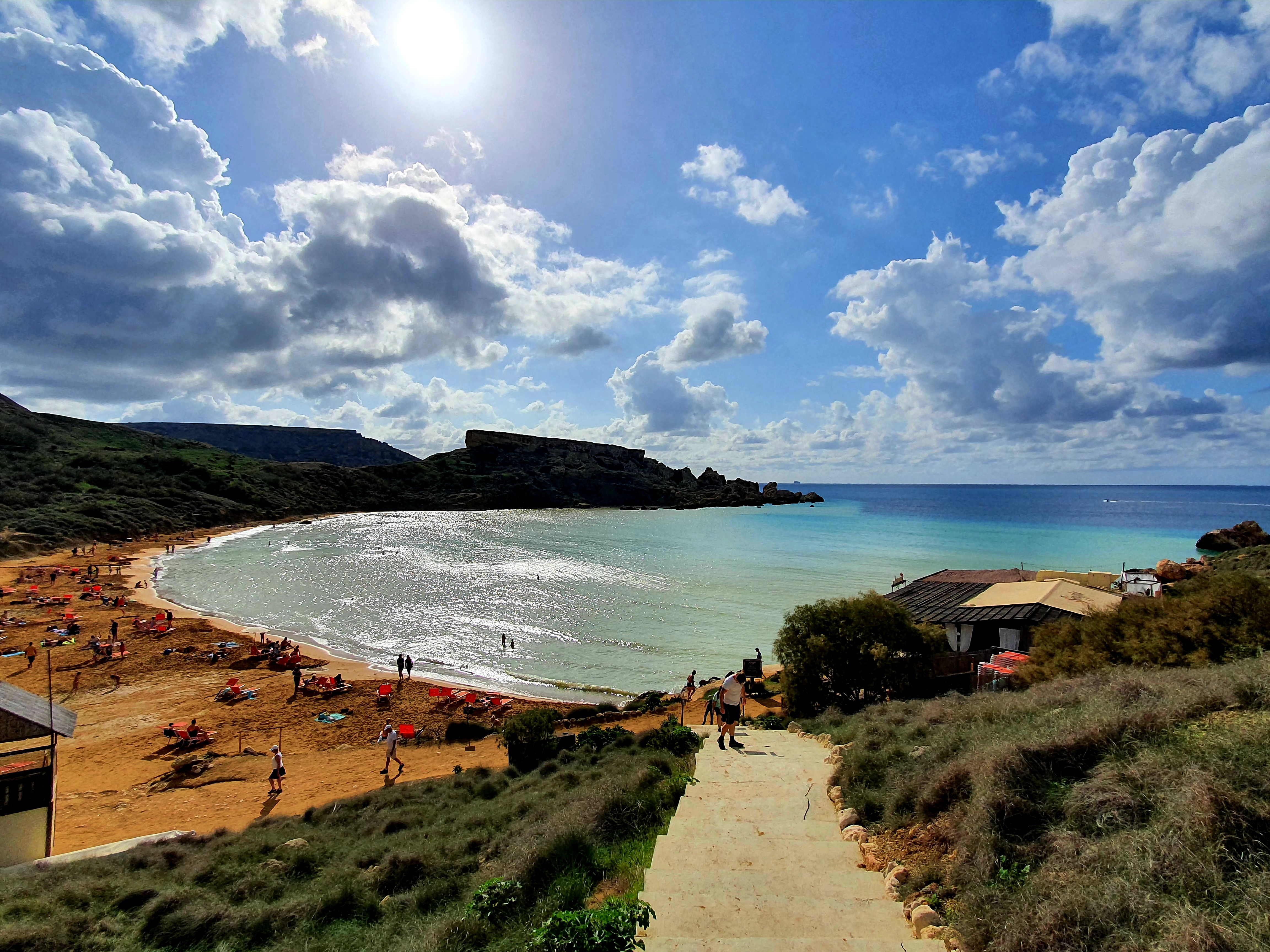
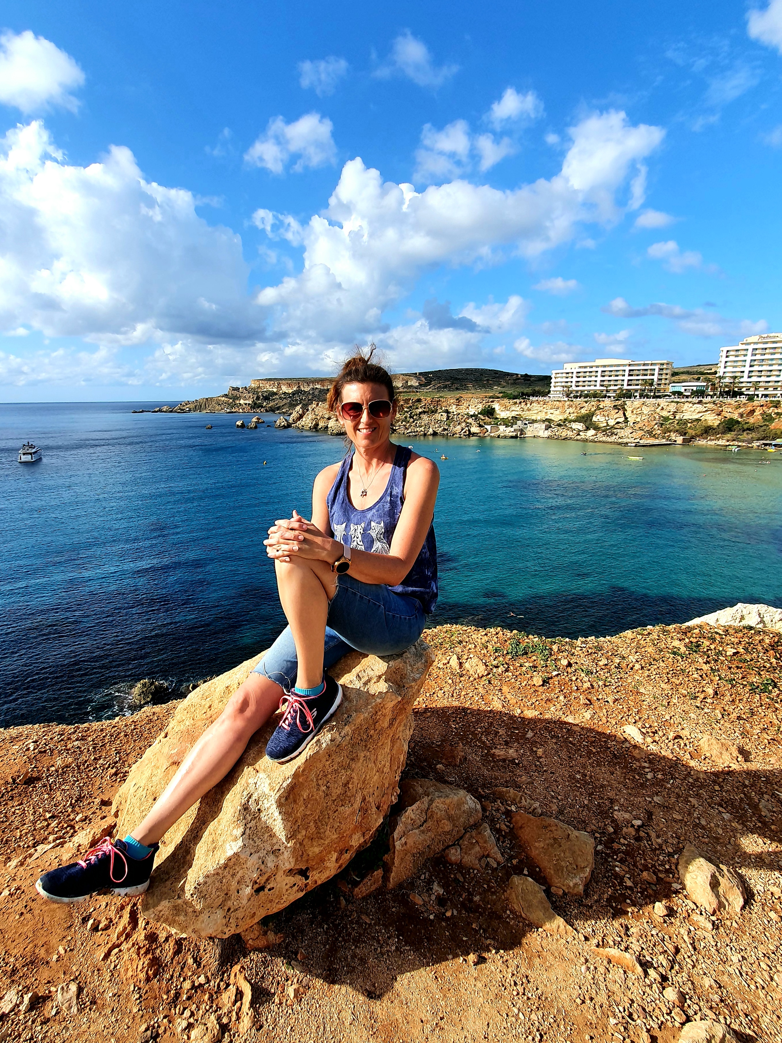
After some discussion we decided that as we had all our swimming stuff with us we may as well go and visit one of the beaches in the north of the island. After a bit of searching on google we decided to catch the bus to Ghajn Tuffieha.
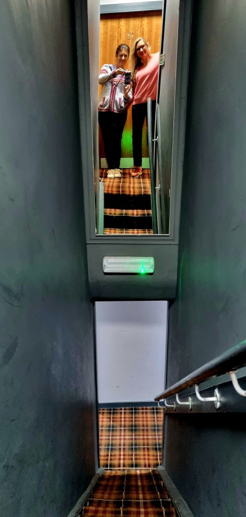
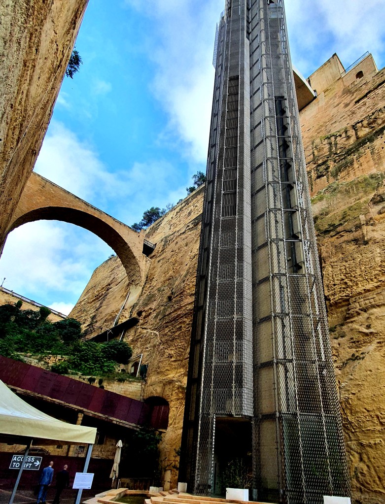
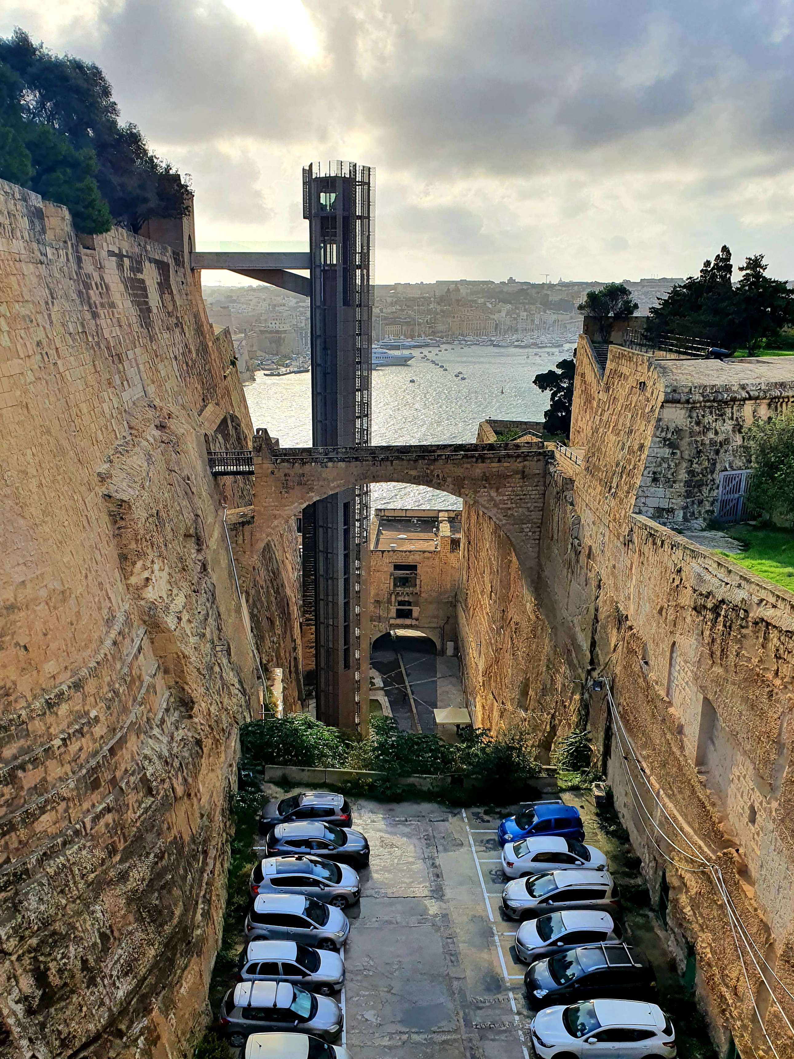
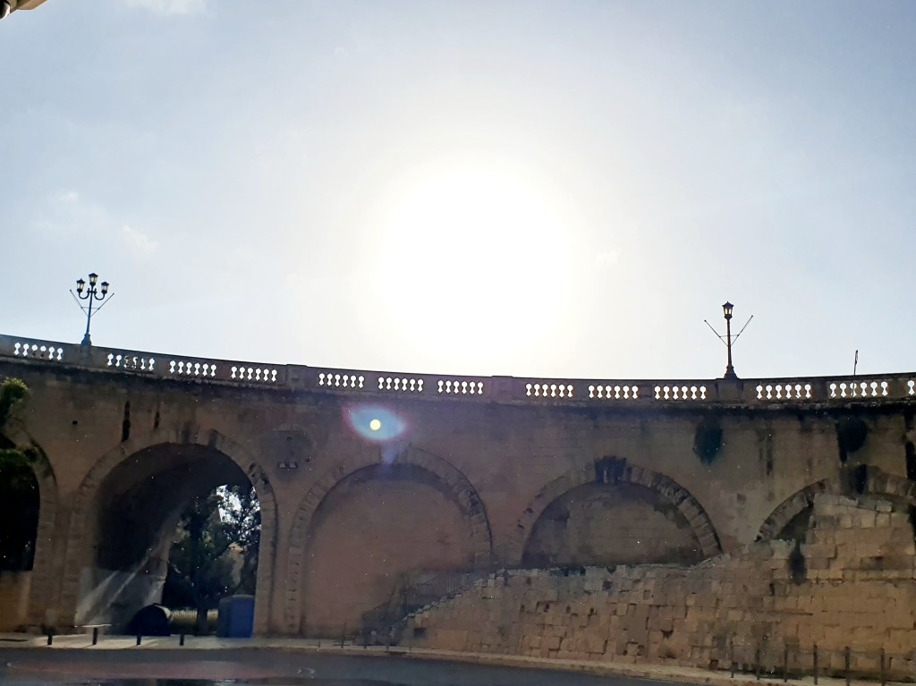
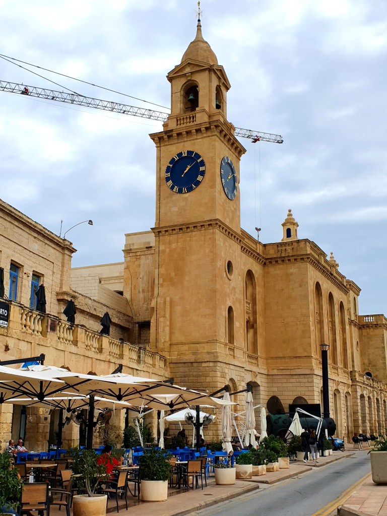
This morning, rather than climb up the steps we decided to get the lift into the city centre. The lift is 58m tall and it takes about 23 seconds to make the journey.
We had to get the bus from Floriana this time and as we got to the bus stop our bus was just pulling away. The next bus was due in 20 minutes but for some reason that never turned up, so we ended up waiting around an hour for the bus.
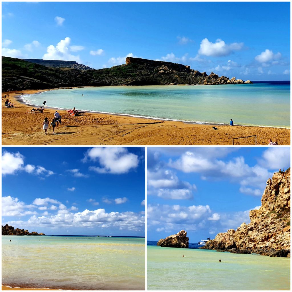
We got off at the nearest bus stop which was around a 15 minute walk to the beach. The beach looked stunning.
We hired a couple of deck chairs and then went for a dip in the sea. The water was quite chilly but once you got swimming it felt good. We swam out to the far rocks at the side of the bay. The current was quite strong so it took a bit longer to swim back.
After a very unhealthy lunch of chips and beer we sunbathed for a bit longer before getting back into the water and swimming to the rocks on the other side of the bay. The weather was a bit changeable- one minute sunny and the next very cloudy and threatening rain.
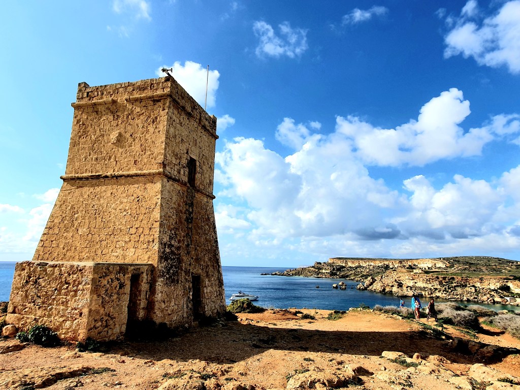
Once it started to get too cloudy to sunbathe we decided to call it a day and go for a walk instead. It was a long climb back up all the steps.
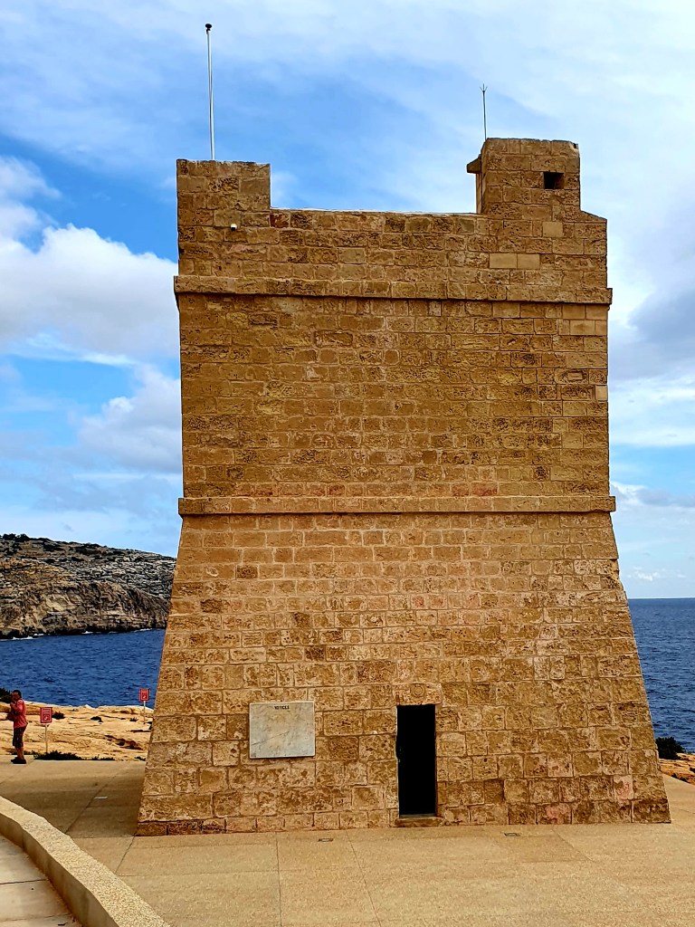
At the top was another one of the coastal watch towers.
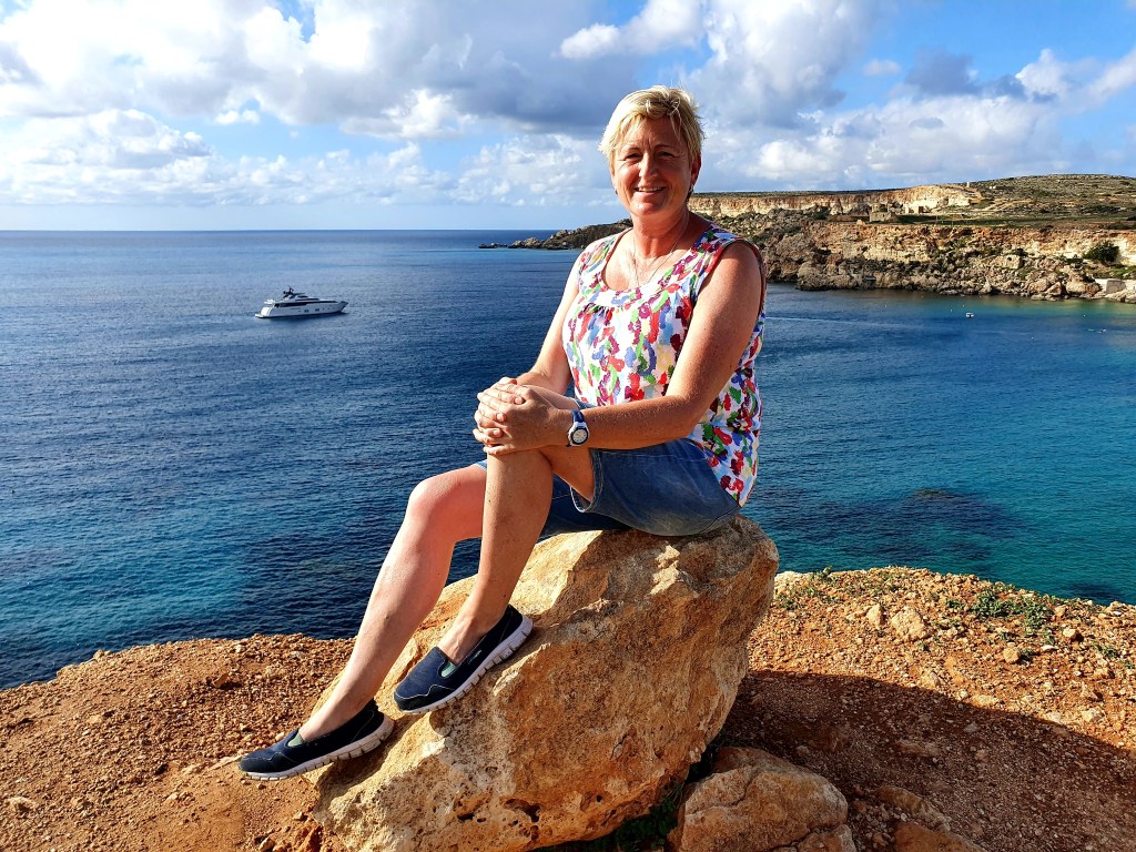
From where we were you could see down onto Golden Beach. This was a lot busier than the beach we had been on and it didn’t look as nice.
We took some posing photos anyway as the background was nice.
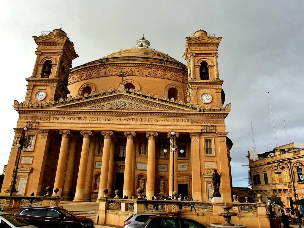
As it was still earlish afternoon we decided to get the bus and go and visit the Mosta Dome. There were road works on the bus route so we ended up going past the dome and we had to take a short walk back.
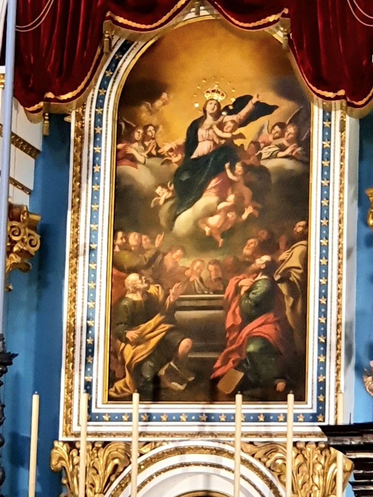
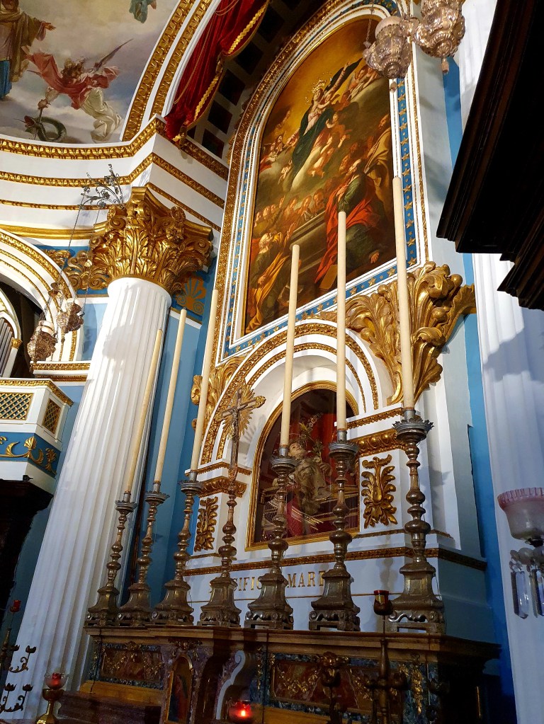
As we queued up to get in it started to rain, but luckily the queue was very short. The Mosta Dome is also known as the Basillica of the Assumption of Our Lady and is a Roman Catholic church The design of the church is based on the Pantheon in Rome and it has the third largest unsupported dome in the world.
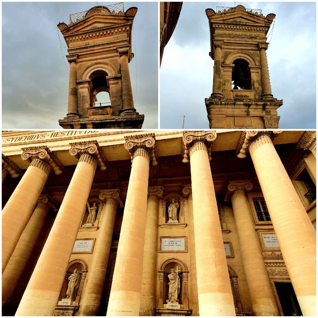
Once we were inside we climbed up the winding stairs to the middle section of the church. From here you could see the two bell towers for which this church is known alongside the iconic columns making up the portico.
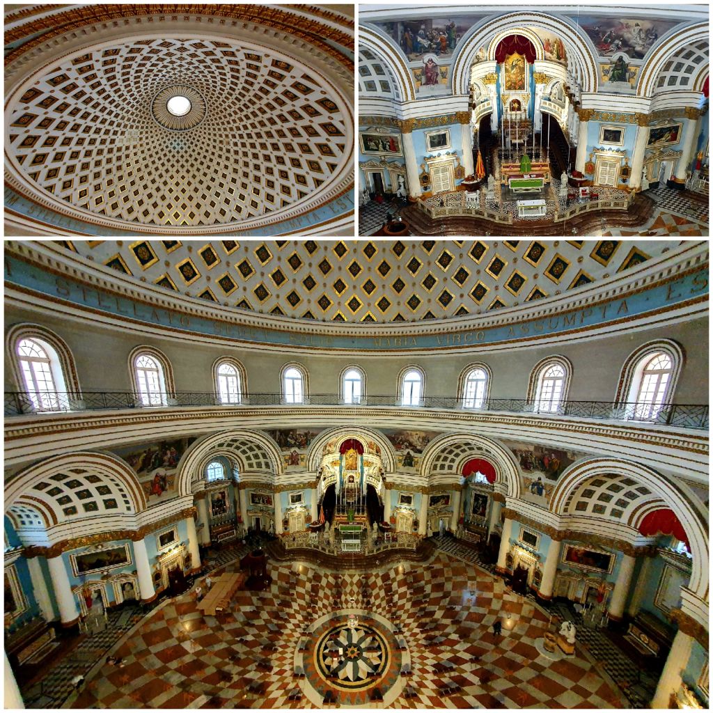
From this level you got some amazing views of the inside of the dome.
We made our way back down the stairs and just stood under the dome. The structure of the building is amazing. The base walls are around 8m thick so they can support the dome and the dome is around 59m high with an outside circumference of around 55m.
The present day church was actually built around an original smaller church, which remained in use throughout the construction of the dome. The church took around 28 years to build and many of the residents helped to build it on Sundays and public holidays. Once the stonework for the current church was completed the older church was dismantled within a week.
The main painting which shows Our Lady being taken to heaven was a painting that was in the original church. However, in 1860 the original rectangular painting was enlarged by extending the sky section upwards. The sides of the painting were slightly reduced meaning two of the apostles had part of their backs removed. This was done so it better fitted the new structure.
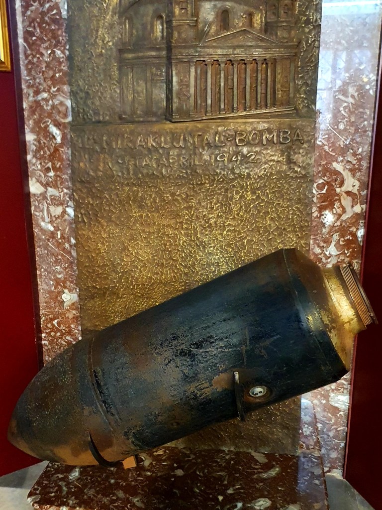
One of the most interest g stories about the Mosta Dome happened during WWI. On 9 April 1942 three bombs hit the church and two of these deflected without exploding. The third one penetrated the dome and landed in the middle of the church where around 300 people were gathered. The bomb did not explode and was defused and dumped into the sea. A replica of the bomb can be found in the church.
Because of its strategic location, Malta became one of the most bombed places on earth during WWII. 6,700 tons of bombs fell in just six weeks. Because of this.the people of Malta were awarded the George Cross in 1942.
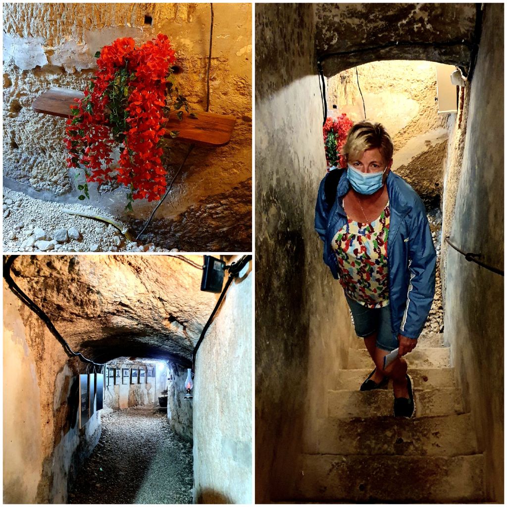
After leaving the dome we visited the nearby WWII shelter. The shelter wasn’t particularly large but had displays from some of the local tradespeople who would have used the shelter.
By the evening the weather had improved a little bit so we ventured back out into Valletta to find somewhere to eat.
We ended back at D’Office restaurant, mainly because you could sit outside but were under cover. And it was lucky we had that protection as whilst we were eating it did rain.
When we woke up this morning the weather didn’t look that great.
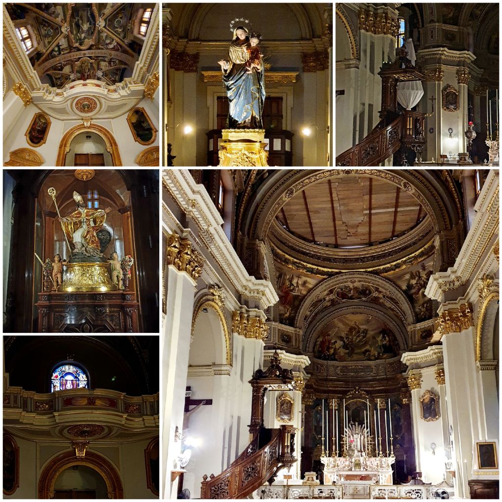
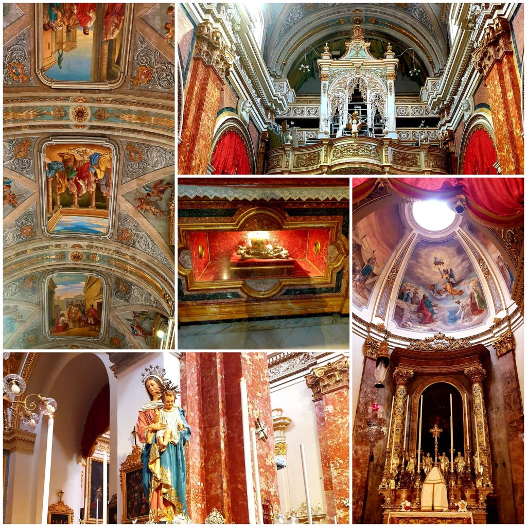
So we decided to do something locally in Valletta. Firstly Nicola wrote some postcards and we then went to post them. On the way back home we went to visit St Paul’s Co-Cathedral.
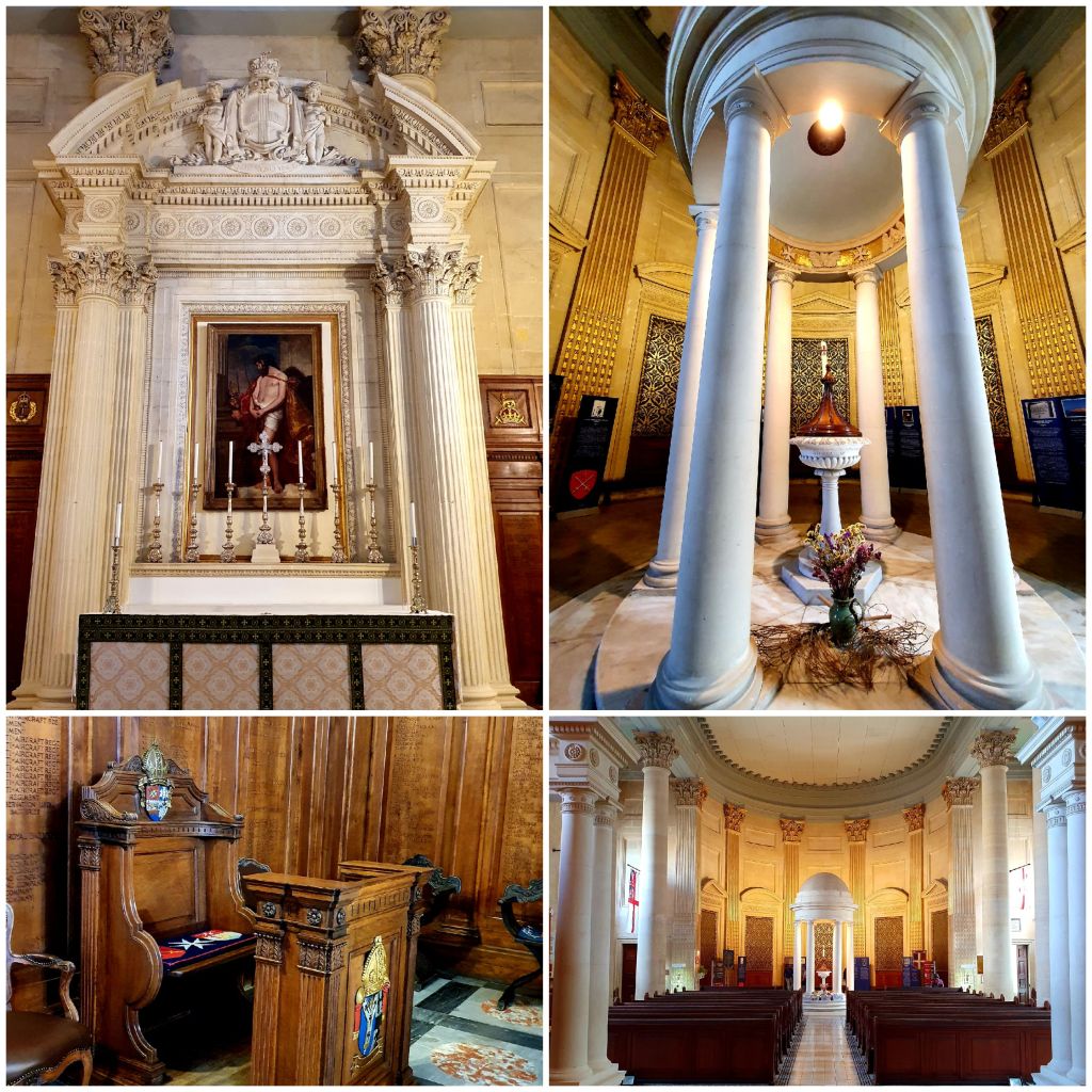
This cathedral was built between 1893 and 1944 and was financed by Queen Adelaide who was the aunt of Queen Victoria. It is called a co-cathedral, a church with cathedral status with the principle cathedral being in Gibraltar.
The cathedral is built on the original site of the German Auberge and in one of the small chapels, the Lady Chapel, is a small table dated 1571, a relic from the German Auberge.
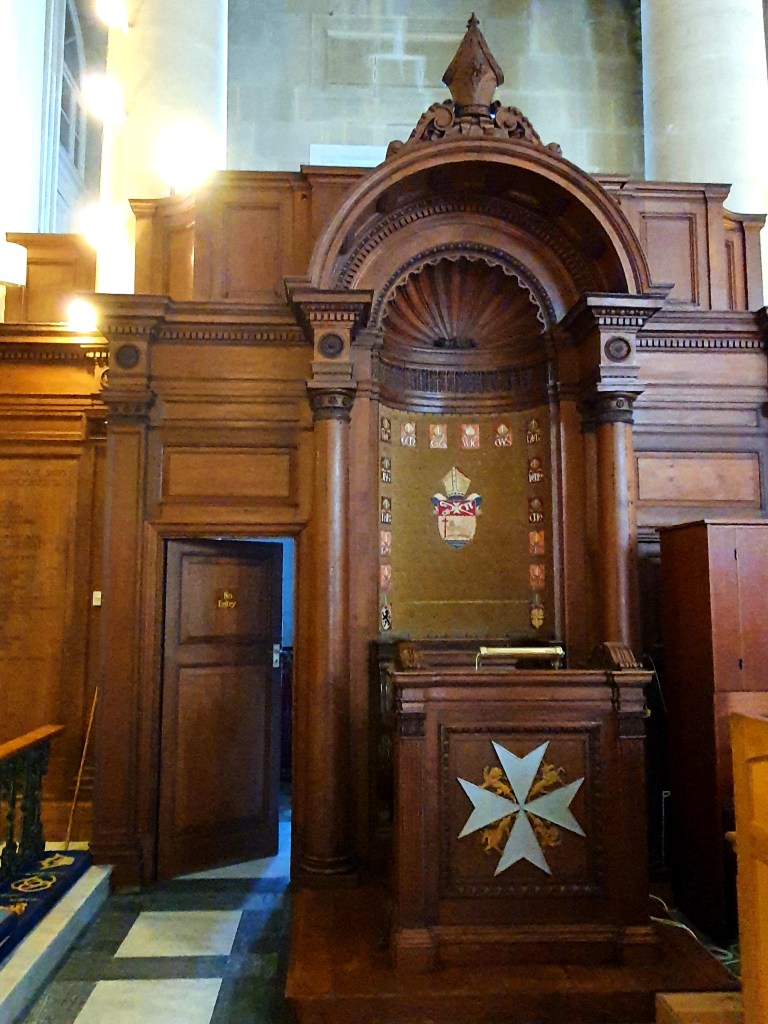
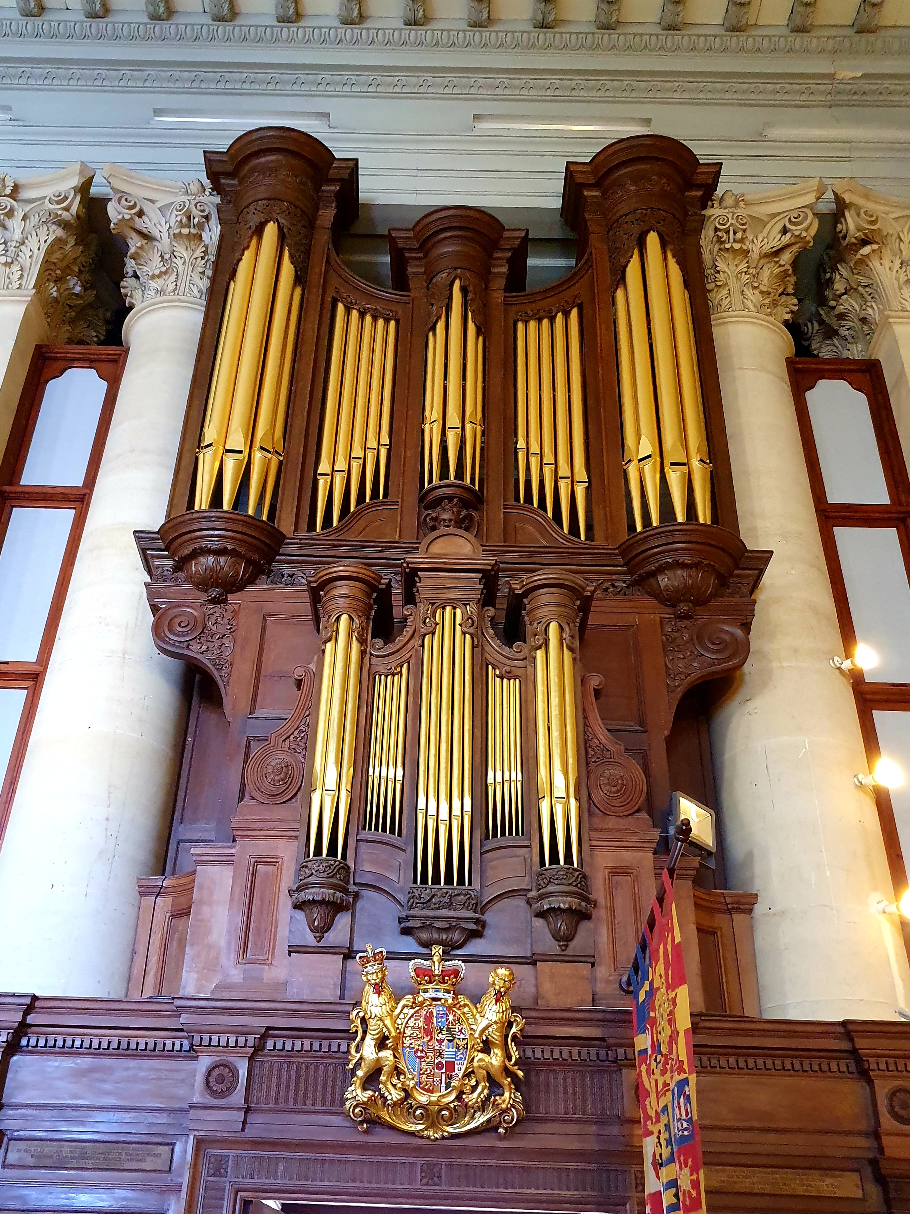
The cathedral also contains a Bishops throne and an elaborate organ. The organ was originally built for Chester cathedral and Handel is said to have played his Messiah on it.
The spire of this cathedral is over 60m high just slightly shorter than the dome of the Carmalite church nearby. It is a well known landmark in Valletta, unfortunately it was mainly covered in scaffolding when we were there.
When we left the cathedral the weather had started to improve so we decided to get the bus to the Blue Grotto. On the way we passed through the town of Qrendi and the beautiful baroque church of St Mary’s.
We got off the bus at the nearest stop to the Grotto but it was still a good 20 minute walk down to the grotto itself. On the way we passed the chapels of St Matthew. This was previously two chapels that have been amalgamated together with a small sacristy. The smaller chapel is thought to be one of the oldest chapels in Malta and was built after the Norman’s expelled the Arabs from the island, probably in the 15th century.
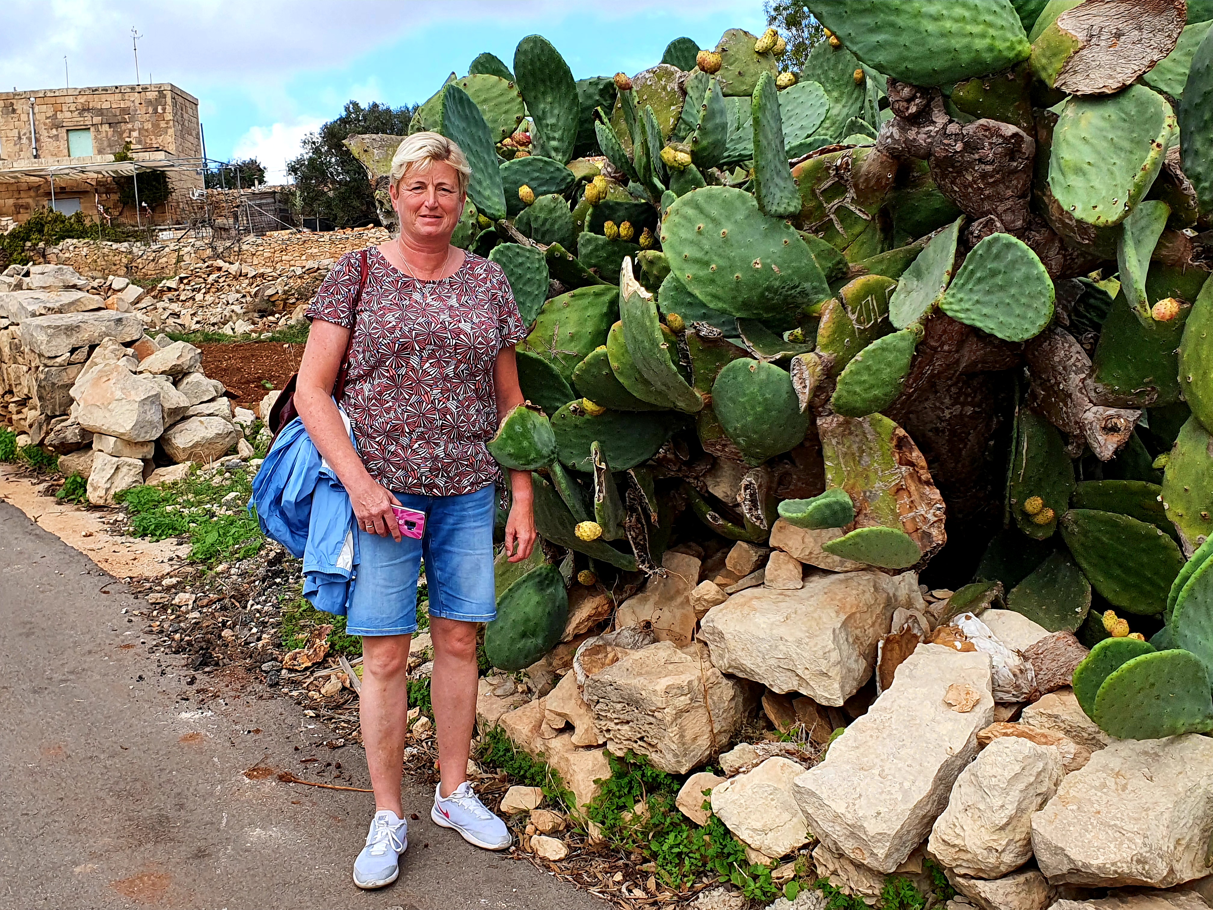
The walk down to the blue grotto was quite pretty and we came across some large cacti.
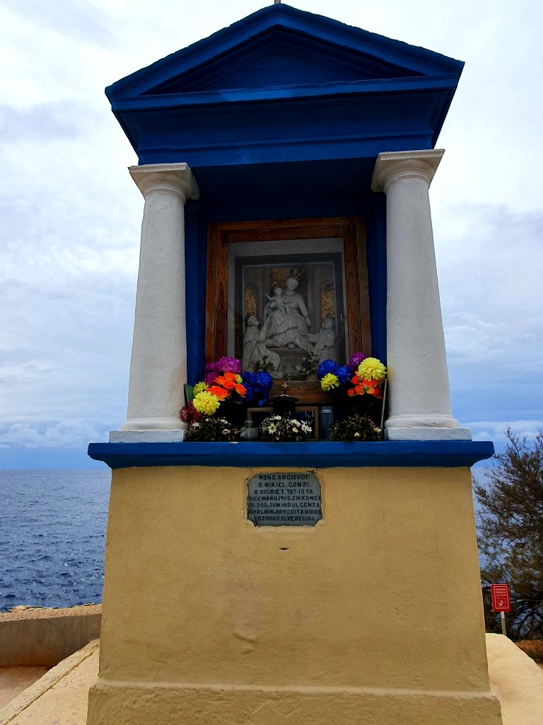
At the start of the final path down to the blue grotto there is a historical shrine.
And one of the coastal watch towers is also here, called Torri Xutu.
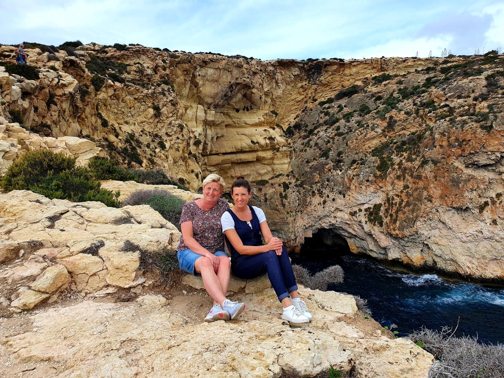
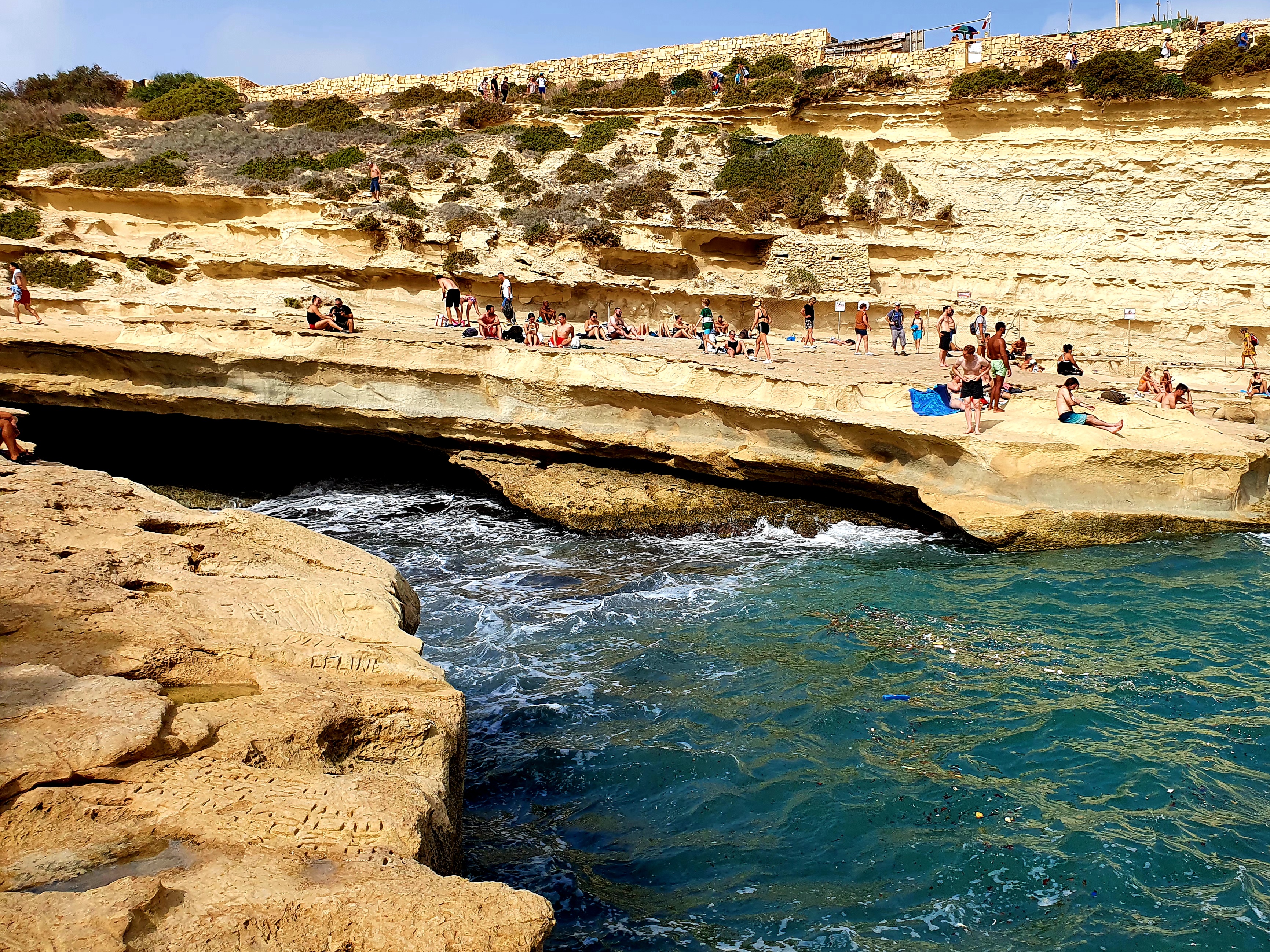
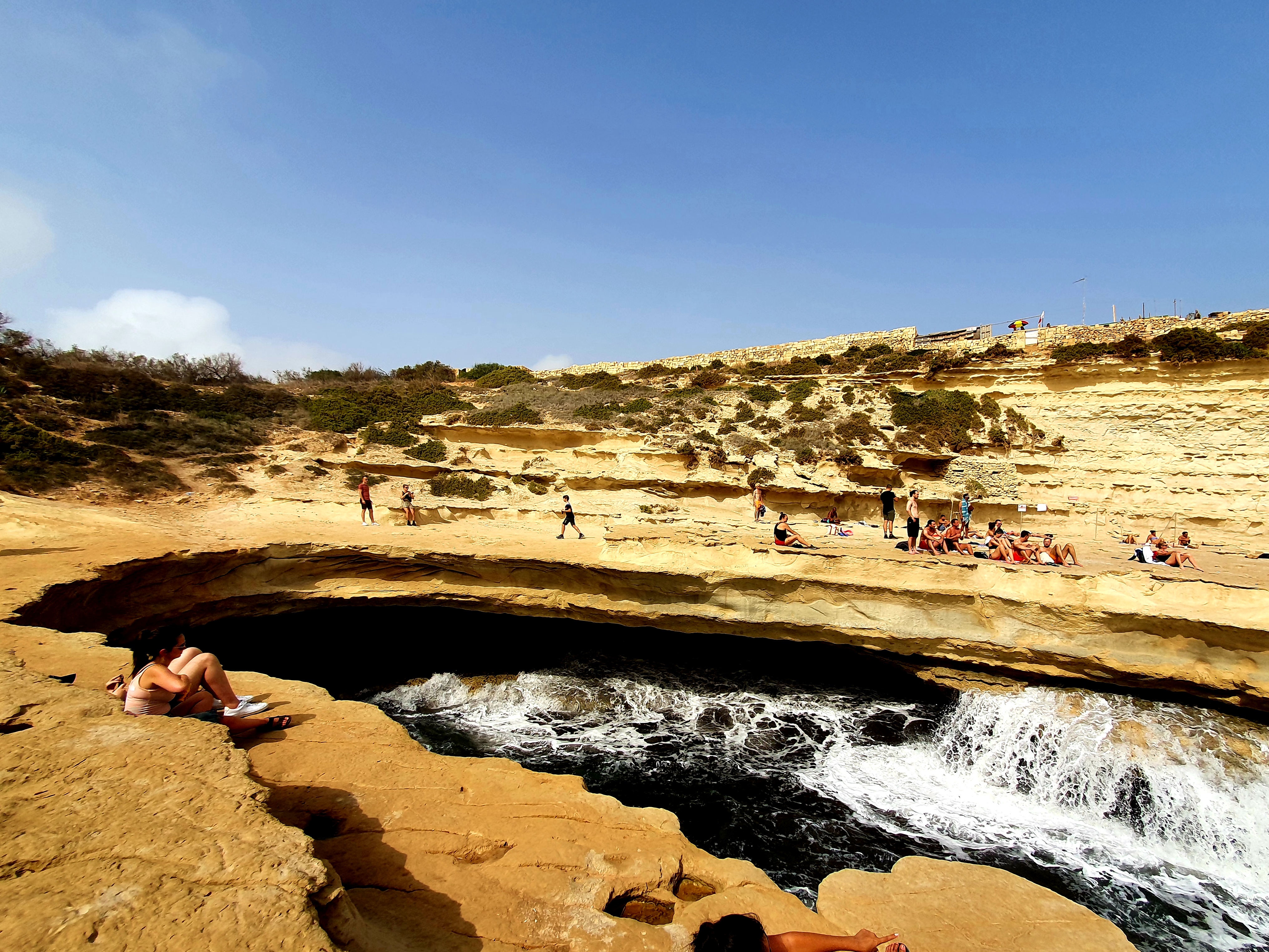
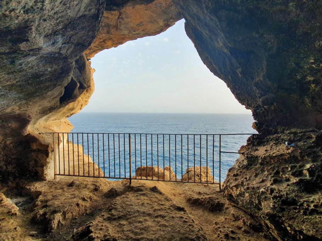
The blue grotto is a large natural arch in the cliffs, around 30m high, formed through erosion. Its believed that mermaids used to live here as the water flickers with different hues of blue.
This is a naturally beautiful area. You can go swimming and diving in and around the grotto, it has a series of around six caves. But when we were there the water was too rough for the boats and there is no other way to get in and out of the water.
The site got its name from a British soldier who compared the grotto in Malta to the Grotto Azzurra in Capri and decided to name it the same.
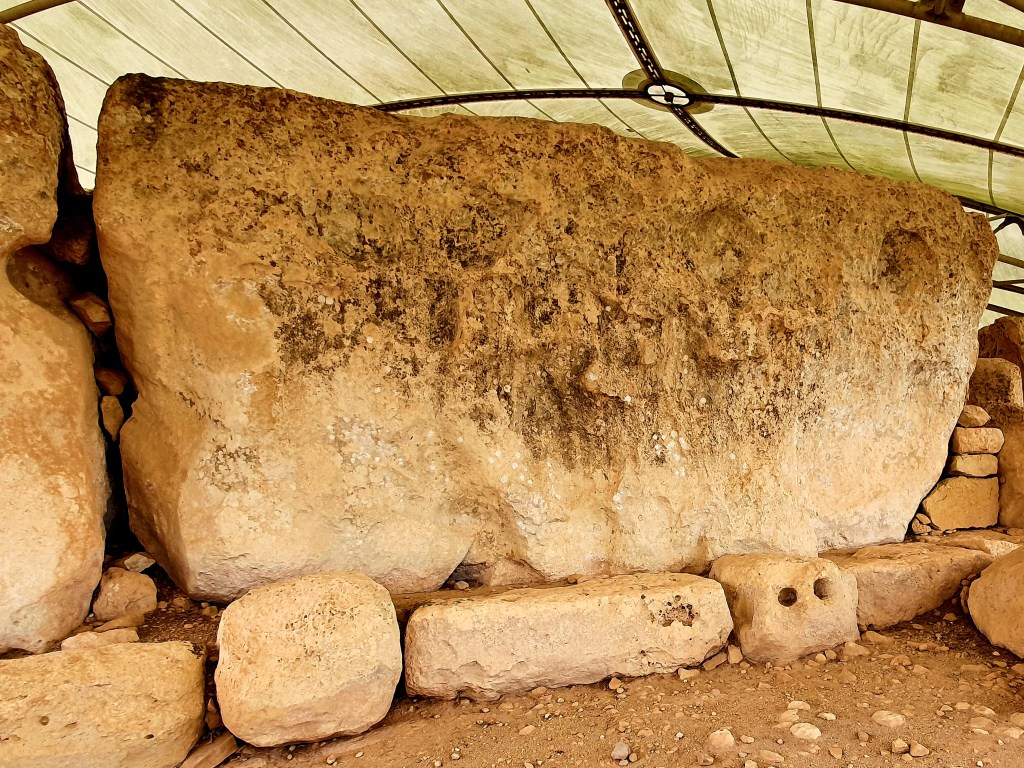
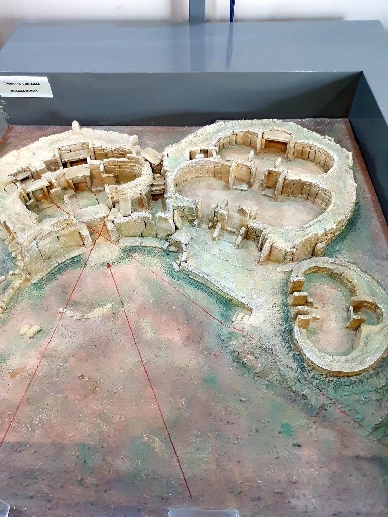
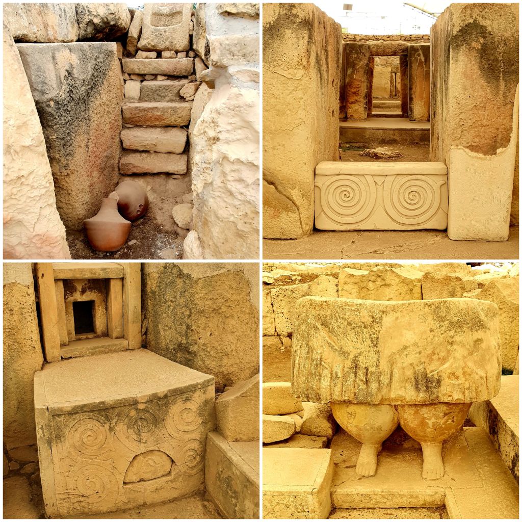
Following our exploration of the grotto we decided to get the bus to the nearby Hagar Qim and Mnajdra temples as these were only a few minutes away. These temples were built between 3600 and 2500 BC (prior to Stonehenge) and are the best preserved of Malta’s Megalithic temples. Before we went down to see the actual structures we watched a short 3d video about how they think the temples were formed.
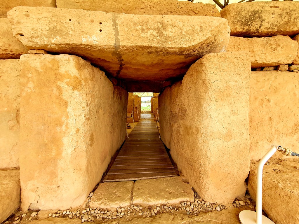
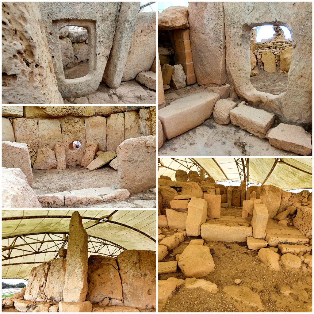
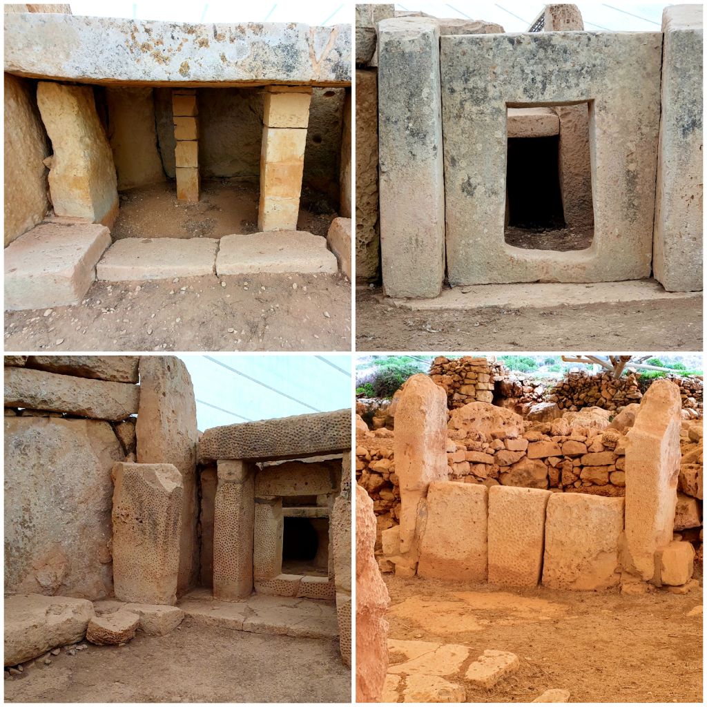
The main entrance to Hagar Qim temples remains mainly intact and is pretty impressive, all of the stones neatly interlocking with each other.
Inside the temples you can see a doorway that has been carved into the rocks which is framed by three stones with pitted designs. This is one of the best pieces of original stonework still in its original place at one of Malta’s temples.
There is also a massive stone in this temple complex. It measures 21 sq m and weighs 20 tons. There is no known reason as to why such a huge single stone was used instead of breaking it into smaller pieces.
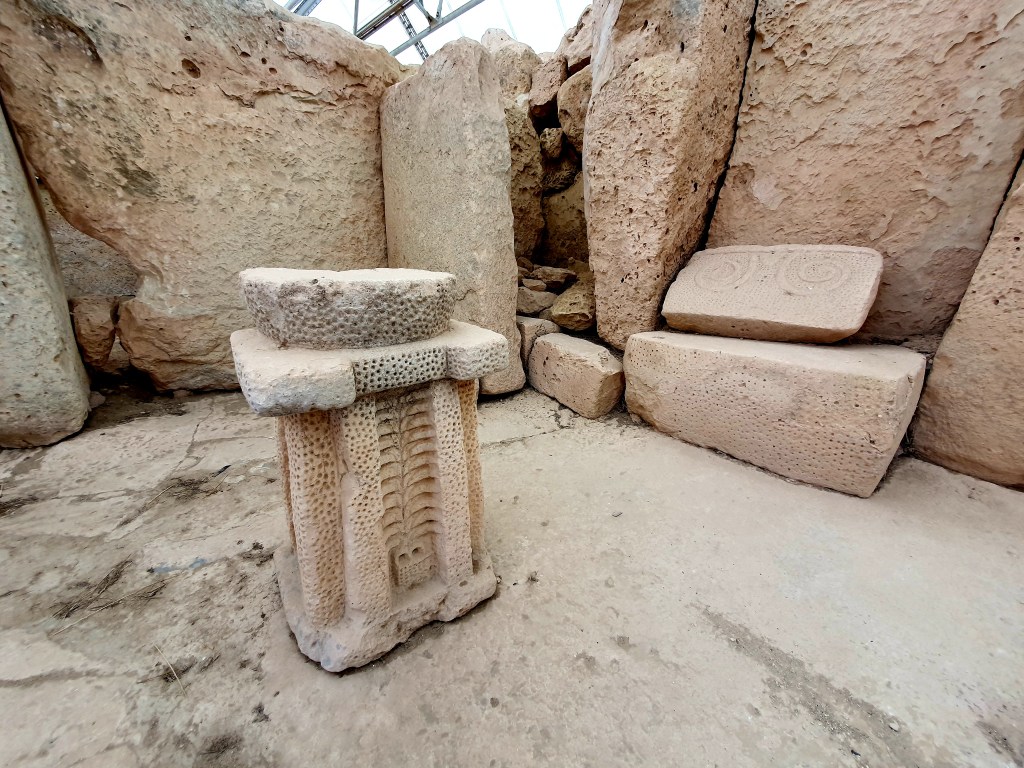
There were a number of alters, potholes and other internal rooms and steps to look at and it’s amazing how good they looked seeming as they were 5000+ years old.
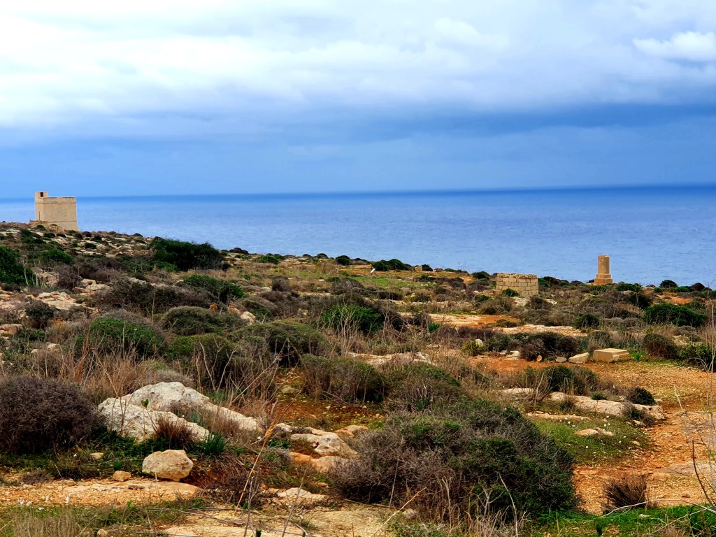
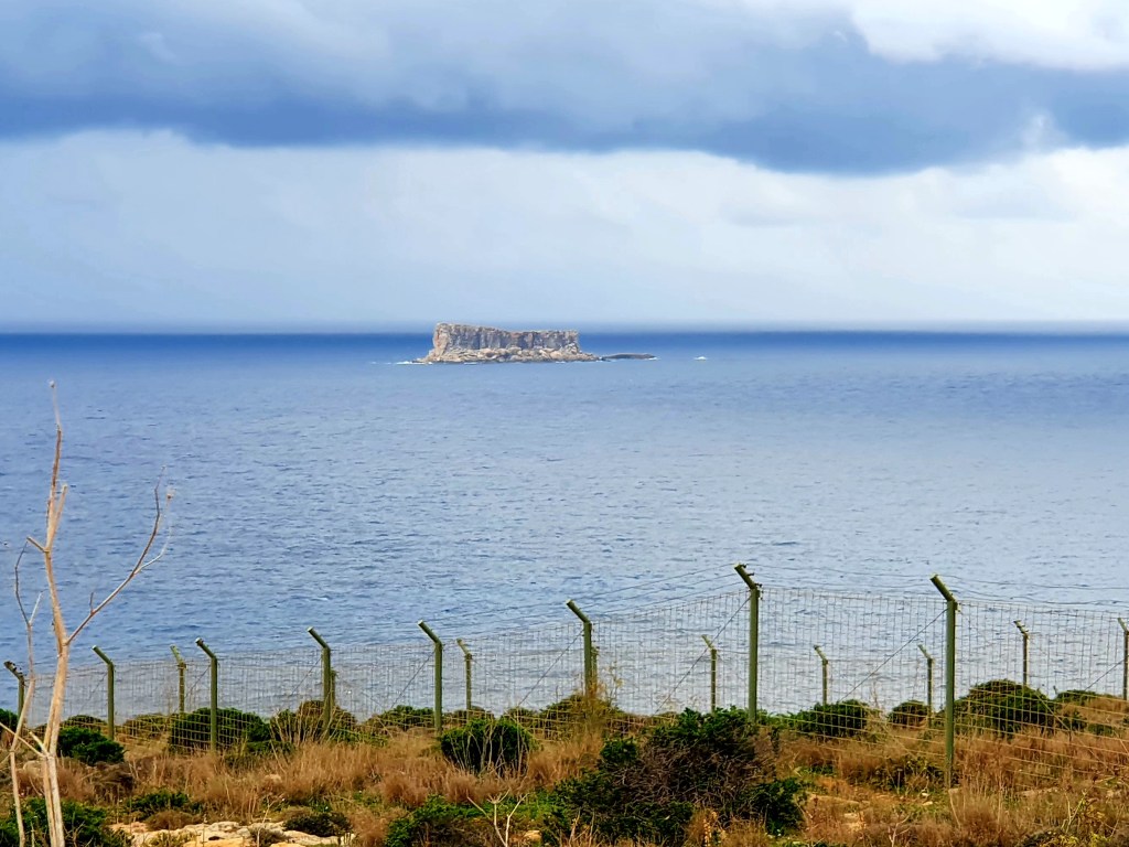
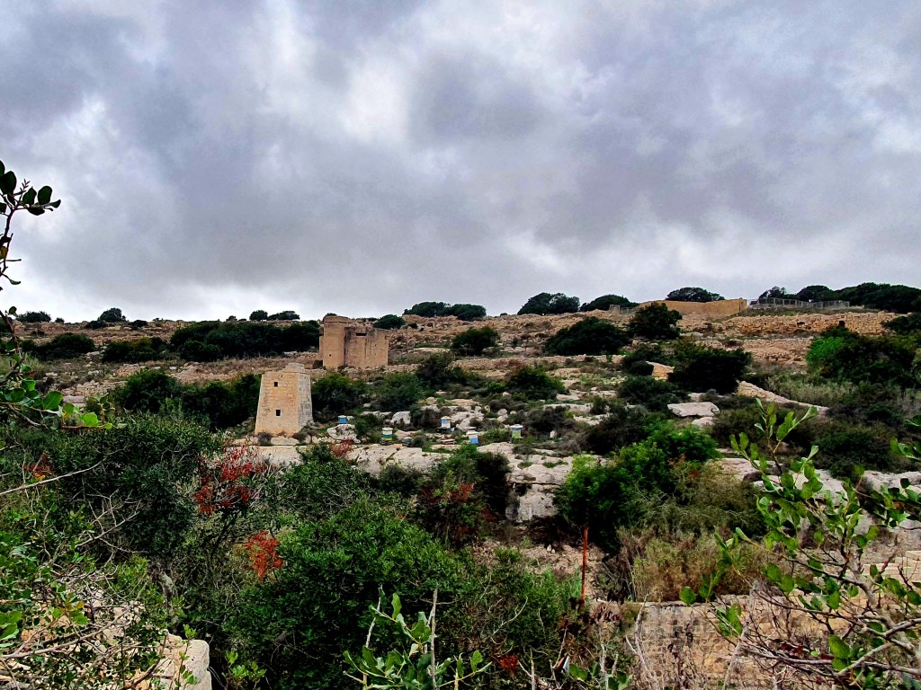
From the Hagar Qim temples you could just take a short walk, further down the coastline, to the Mnajdra temples. On the way down you walk past the Hamriga tower and the Congreve memorial. The tower is one of the coastal protection towers and the memorial commemorates General Sir Waler Norris Congreve, who was Governer in Malta. He was buried at sea somewhere between the point of the memorial and the islet of Filfla.
The islet of Filfla is a small offshore islet and is now a wildlife reserve and is apparently great for bird watching.
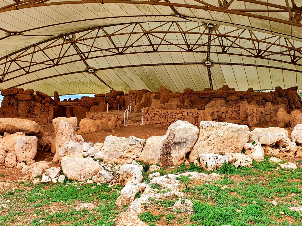
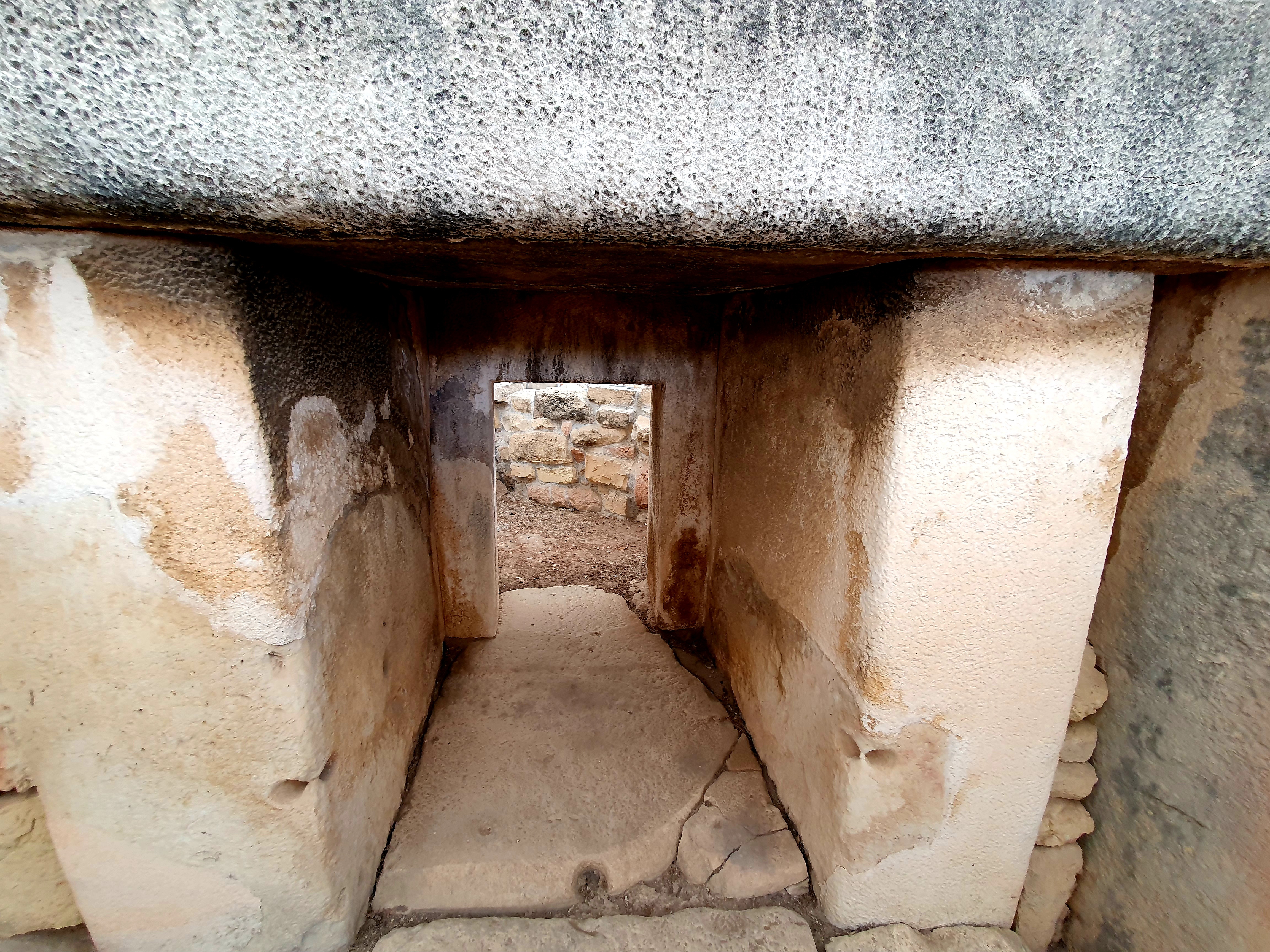
Just as we got to Mnajdra it started to rain but luckily the temples are kept under cover to protect them from the elements.
We had a good wander around the three structures making up the Mnajdra temples as we kept out of the rain.
The South Temple is the main building and this was built in such a way that its main doorway is aligned with sunrise during the spring and autumn equinoxes.
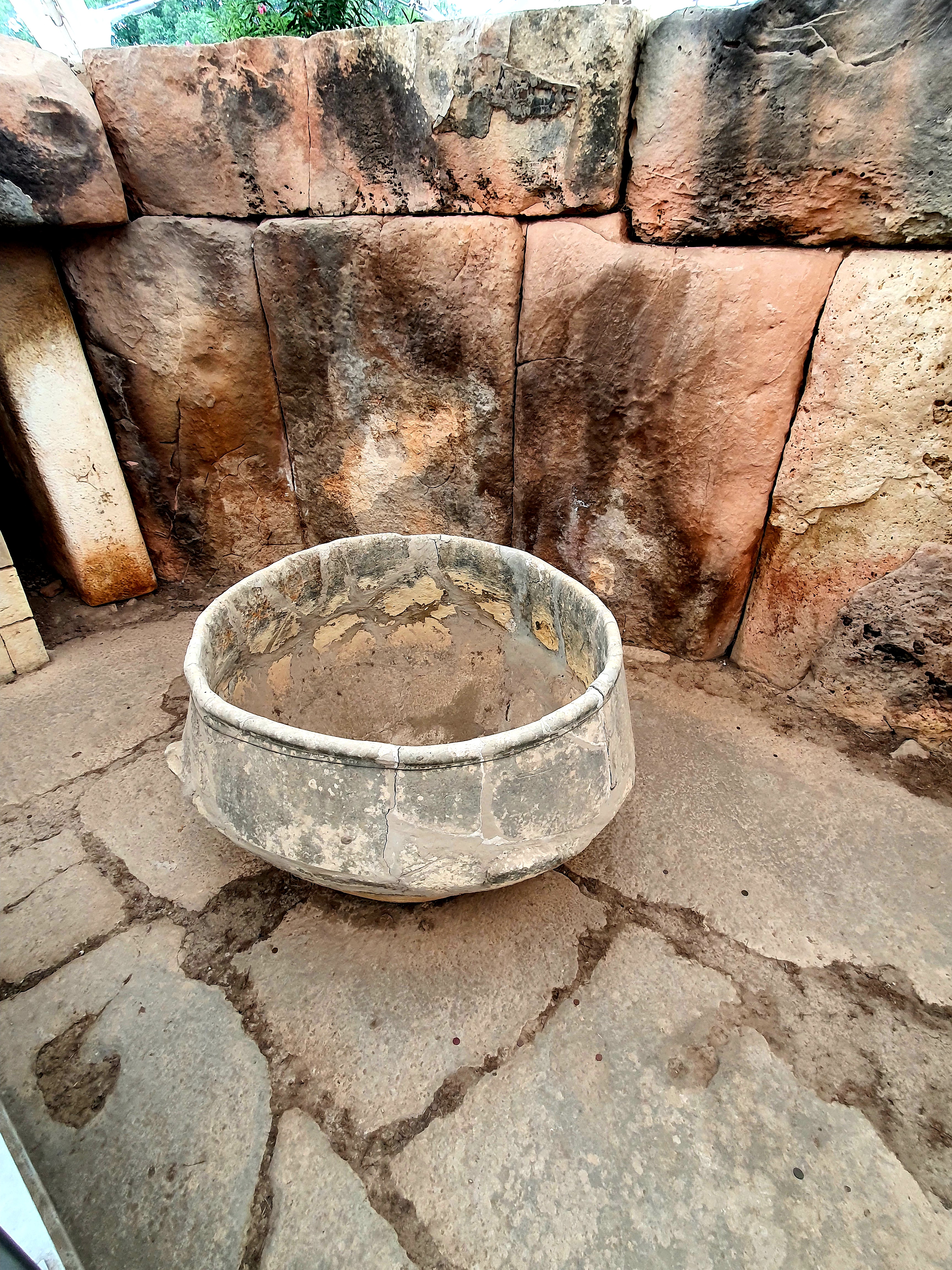
We saw pitted doorways leading to inner passages, doorways cut from single slabs of stone, alters and small niches.
The temples here were slightly different to the others we had seen as they used a different type of limestone for the interior walls. This is known as globigerina limestone and is softer and easier to shape.
We stayed under the shelter of the temples for a little while but the rain wasn’t abating so we decided to take the walk back to the visitor centre – I got soaked despite wearing a raincoat and sharing Nicola’s umbrella!
We got the bus back to Valletta but decided to get off a couple of stops earlier and explore Floriana which is just outside the city walls of Valletta.
The first place we went to visit was the very impressive parish church, St Publius. This church was built in several stages over the 18th and 20th centuries.
The circular stones in the square outside the church are where cereals and grains were stored and is known as the granaries. Malta can be quite a dry island so it used to be essential to store grains etc when it was available. The granaries were one of the first constructions built by the knights of St John. There are 76 silo storages in Floriana and each one could store 50-500 tons of grain and grain could be stored for 3-4 years.
The inside of the church is also very impressive inside, like most of the churches in Malta.
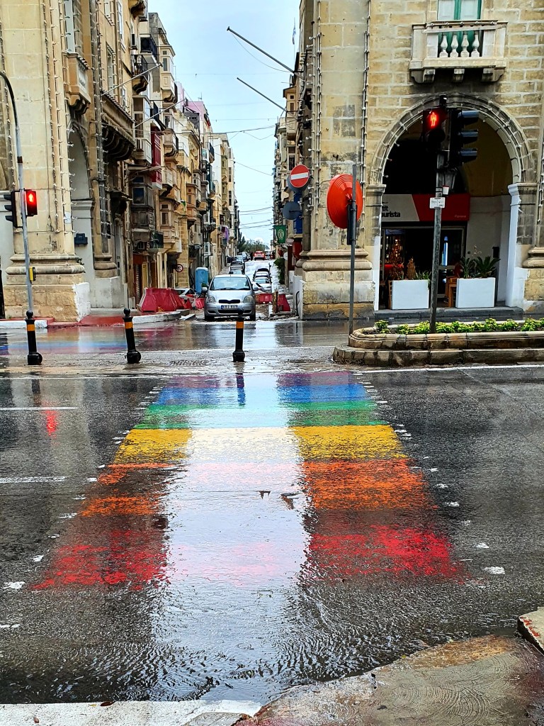
From the church we walked down to the main street in Floriana, St Anne’s street which has a rainbow zebra crossing.
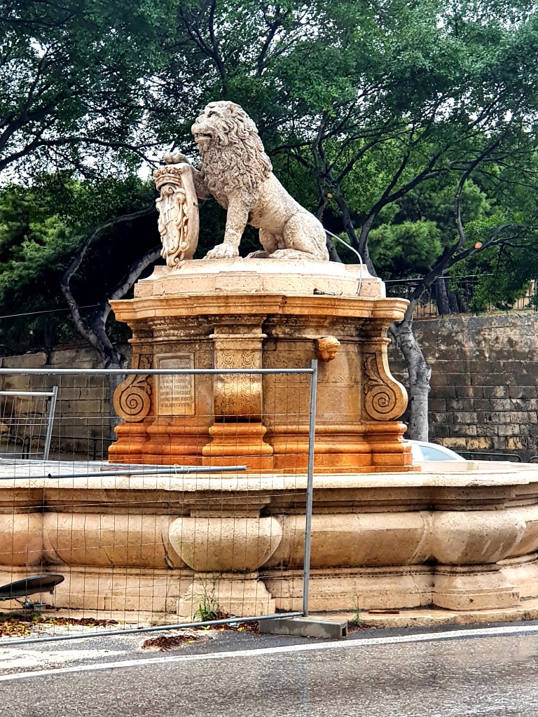
Our next stop was the lion fountain which has guarded Floriana since 1728.
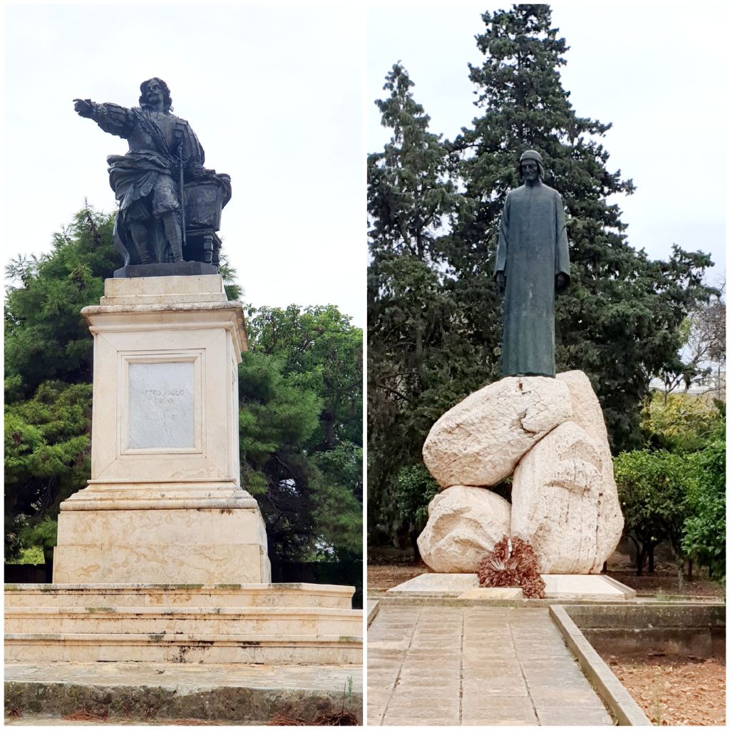
We walked past a couple more statues. The first one was of Pietro Paolo Floriana who designed the Floriana lines and after whom the town has been named. The second statue was of Dante Alighieri, an Italien poet. The monument shows Dante standing on three rocks representing Heaven, Hell and Purgatory from his work ‘The Divine Comedy’.
We continued walking down to the Porte des Bombes which is the main gateway into Floriana. Originally the gateway only had one arch but the British Government funded the construction of the second arch. The arches columns are built as upright canons.
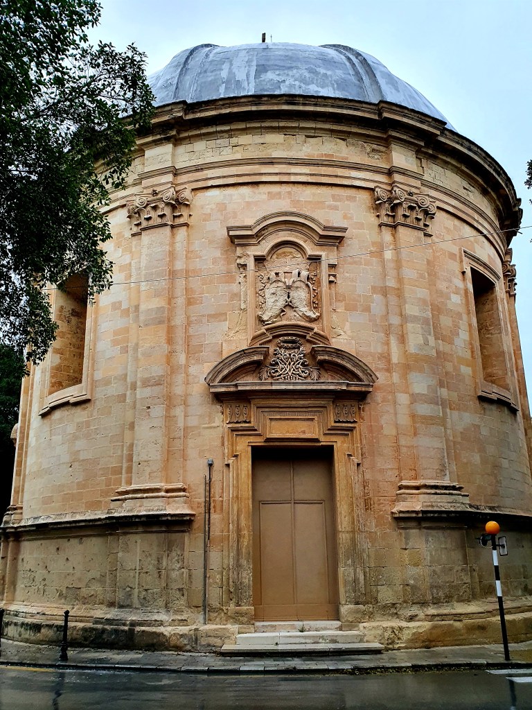
From here we walked to the Church of the Immaculate Conception, which is a Roman Catholic rotunda church. This church was designed by Mattia Preti who was a painter and this is the only church he designed.
Our next stop was Robert Samut Hall. This building used to be the Floriana Methodist church and was the first building in Malta to use the electric light bulb. Robert Samut composed the national anthem for Malta and the building is now used by the Malta Philharmonic Orchestra.
Close by is a water tower which has a 3m high pedestal and a rounded tower above. This tower formed part of an aqueduct system which bought water from Mdina and Rabat, via gravity, to Valletta and Floriana. The inscription reads ‘From the turret decorated with a lily, I raise my head to see in the City the fountain of the water of life’.
We then visited the Botanical gardens, Argotti gardens. A lot of the gardens were closed off to the public so we could only wander round bits of it.
These gardens form part of the University of Malta and are the third oldest gardens in the Commonwealth.
The sun was just starting to set as we left the gardens.
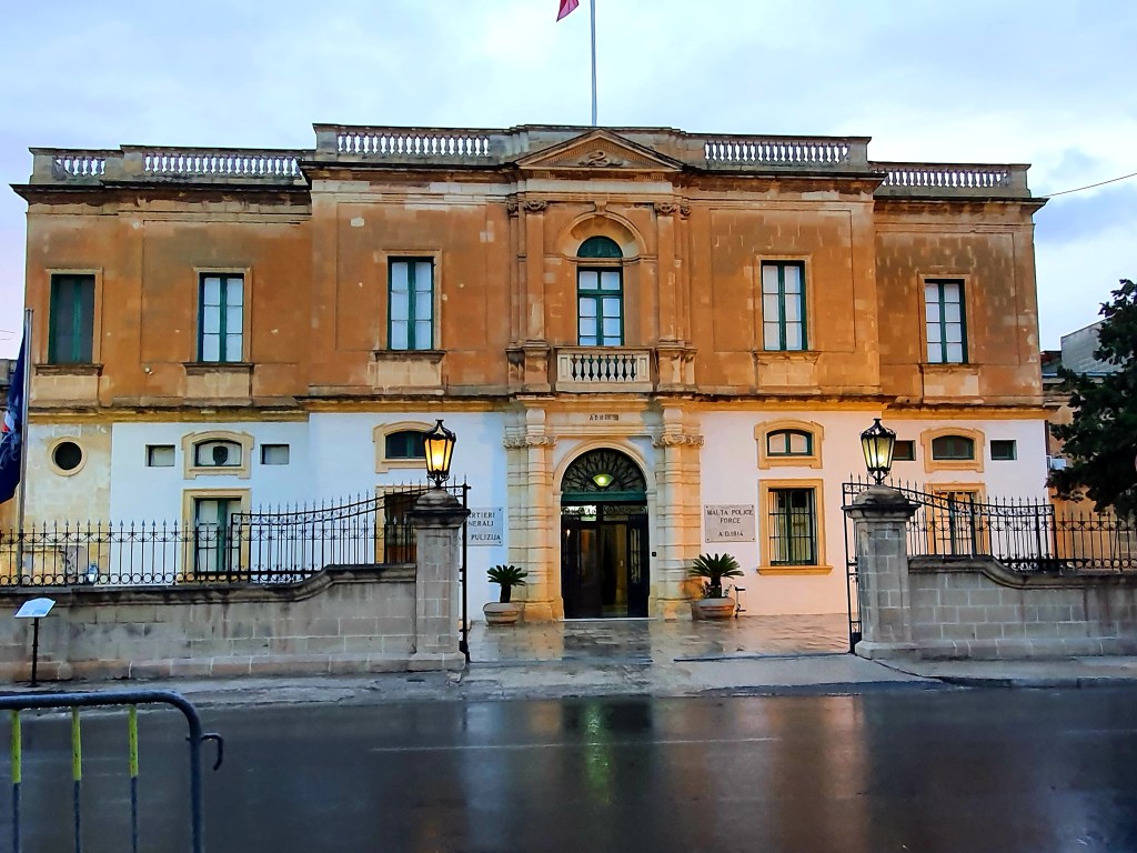
On the way home we walked past the Archbishop’s Curia and the Police headquarters, both lovely buildings. The Curia was originally a Jesuit home and there is a statue of Mary holding Jesus over the door. It has been used as barracks for troops from France, Naples and Scilly and also as a military plague hospital.
The police headquarters building was originally used as a place for homeless women were they were taught basic skills. During the British occupation is was used as a general hospital and a shelter was dug below the building for patients who couldn’t easily be moved during WWII. It is the only known underground hospital in Europe
On the way home we bought a ricotta pastizzi. It was quite tasty but not amazing.
I noticed quite a lot of stray cats in Floriana but they all seemed to be well looked after. Apparently there are 1000 cat carers on the island looking after over 3000 strays.
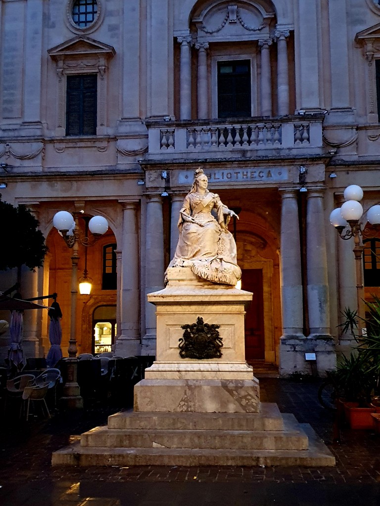
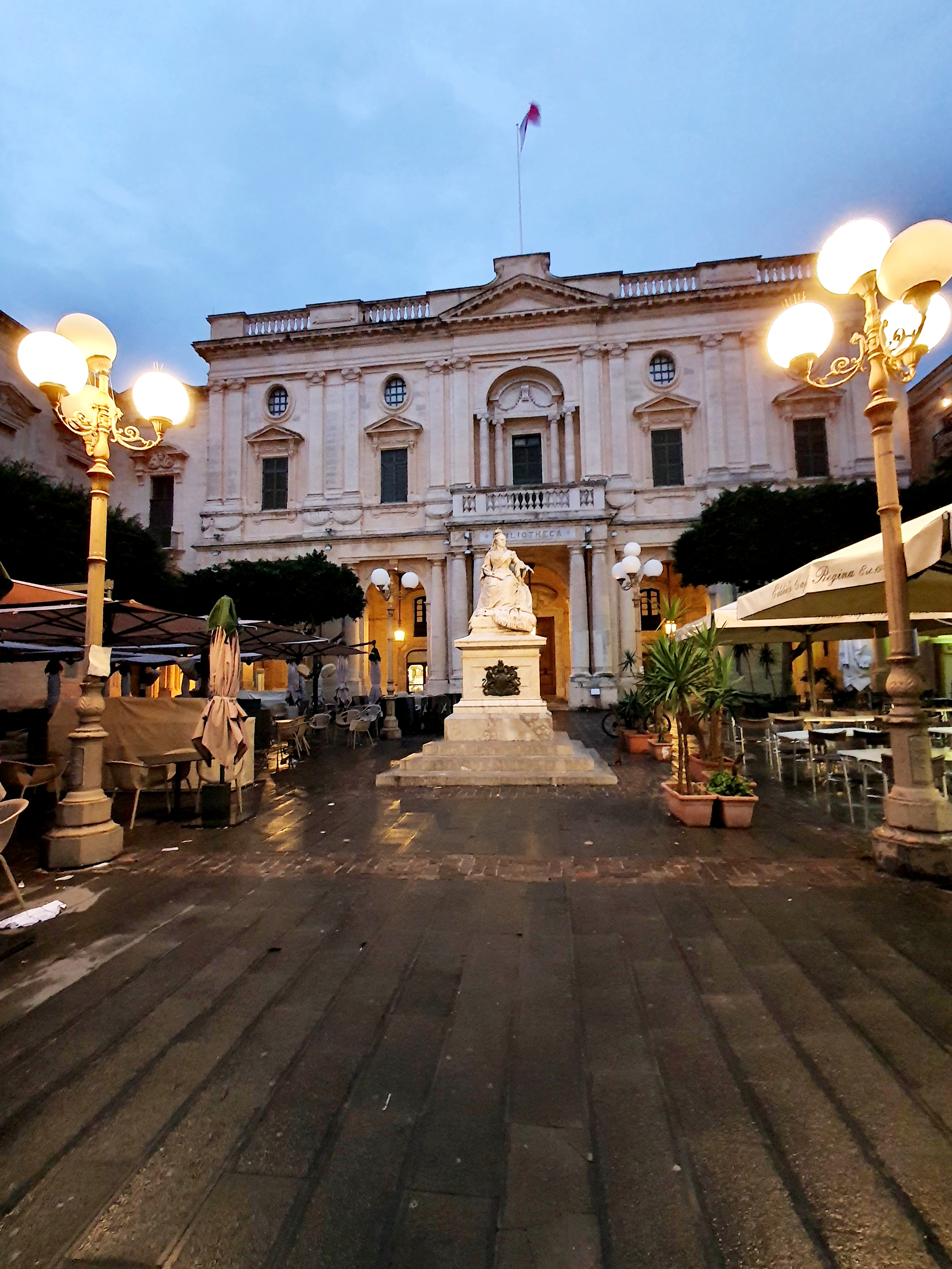
As we walked back through Valletta we walked past the statue of Queen Victoria. This statue is carved out if marble and Quern Victoria is westing a shawl made from Maltese lace.
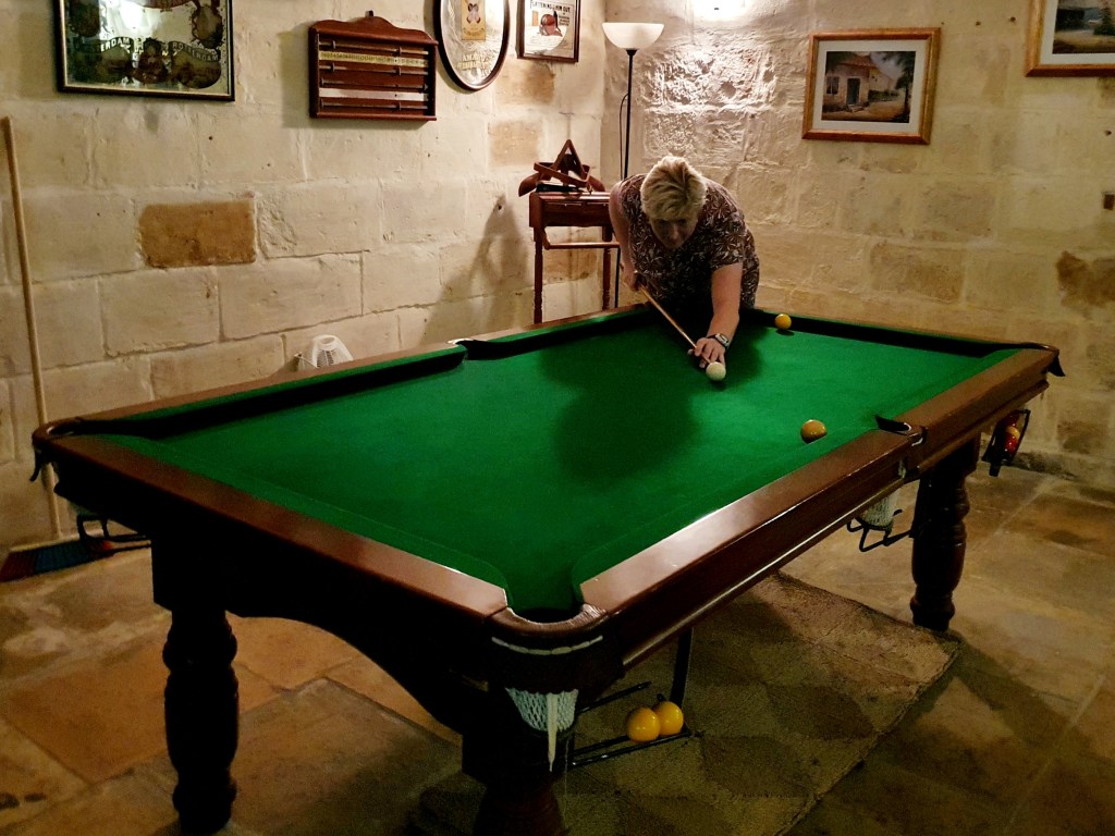
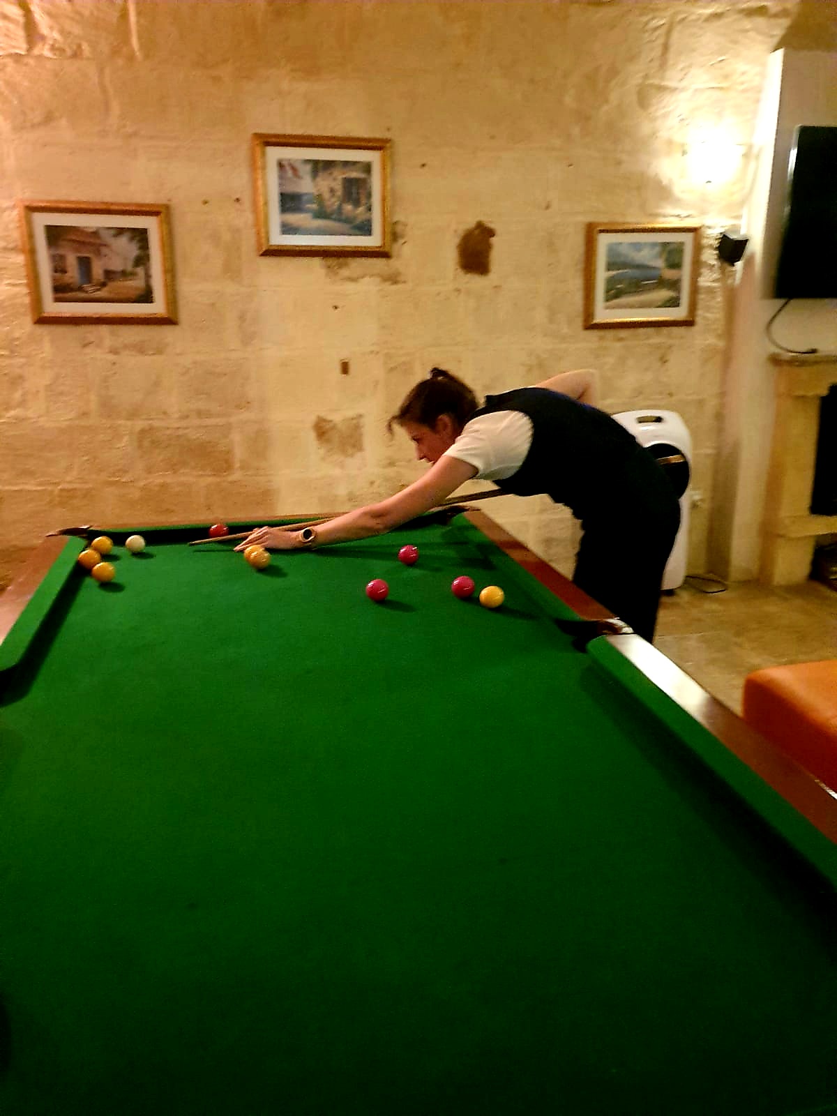
We went to the supermarket on the way home, well it was around a 10 minute walk from the flat, to get some beers and food, so we cooked some food and stayed in.
We decided to have a game of pool. Seeming as I have never really played pool I was quite happy that we won one game each – decider match has yet to be played!!
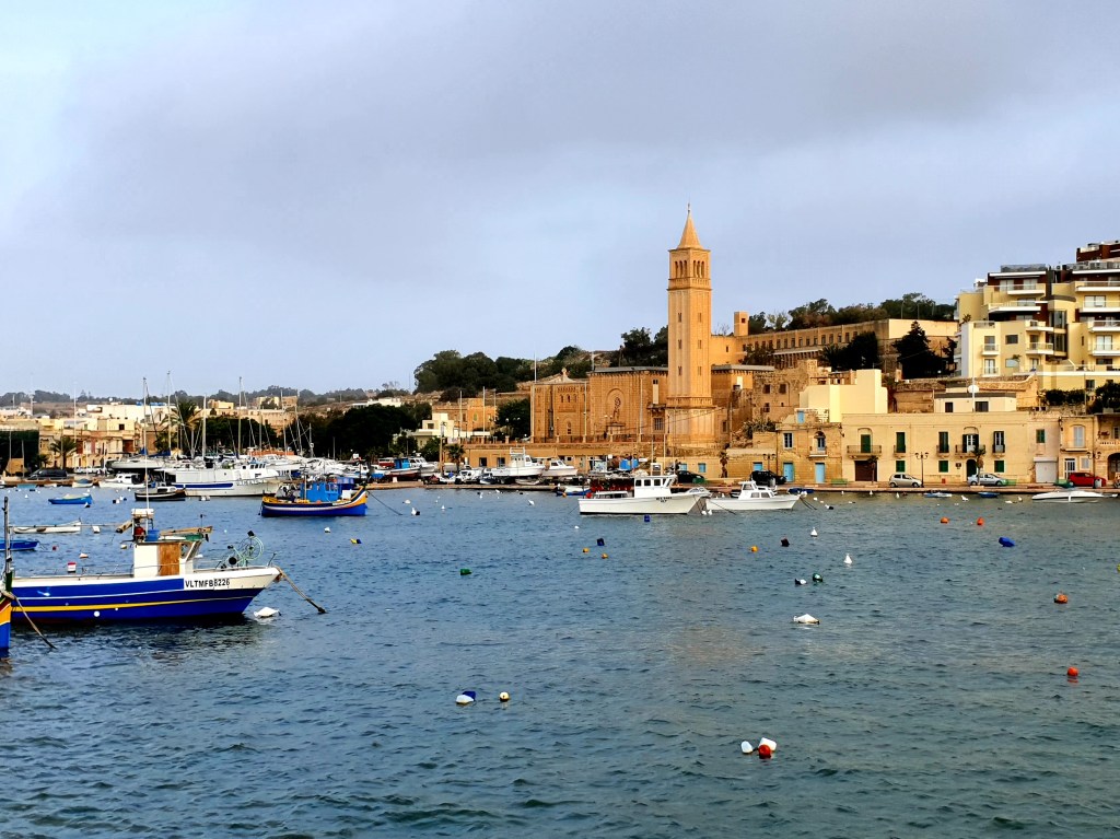
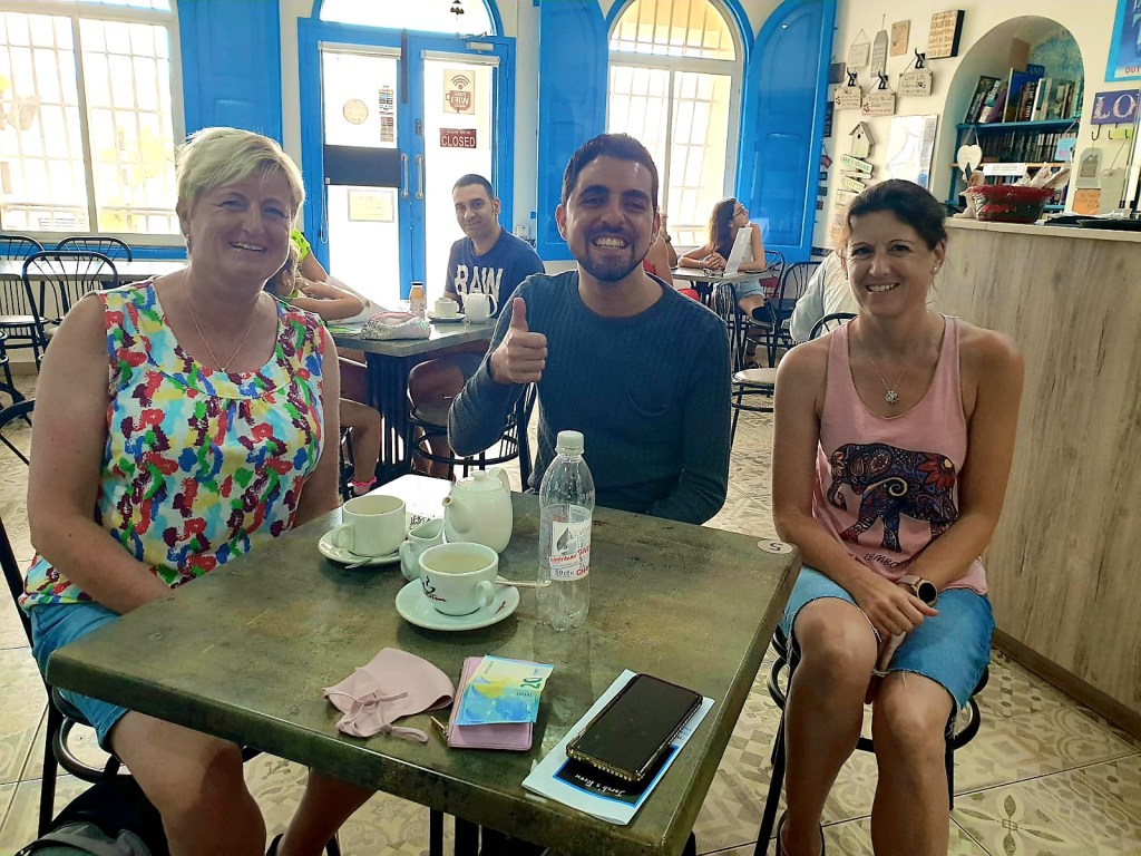
So on the flight over from Germany, Nicola got chatting to the people sitting next to her on the plane. One of these was a young man called Jacob. During the flight she found out that his mum owned a cafe in Malta. So on Sunday morning we decided to go and visit the cafe for breakfast in Marsaskala. This is a lovely sea side town in the South East of Malta.
We spoke to the lady at the cafe who was Jacob’s mum who originally came from East London. She phoned Jacob and he came and met us at the cafe. It was really lovely to meet him as the reason the cafe came into being was because of the trauma he and his family suffered. Jacob survived a near fatal illness that left him disabled in early 2013 and the family are now using their experience to support other survivors of trauma. It is the first social enterprise in Malta and more information can be found on their Facebook page.
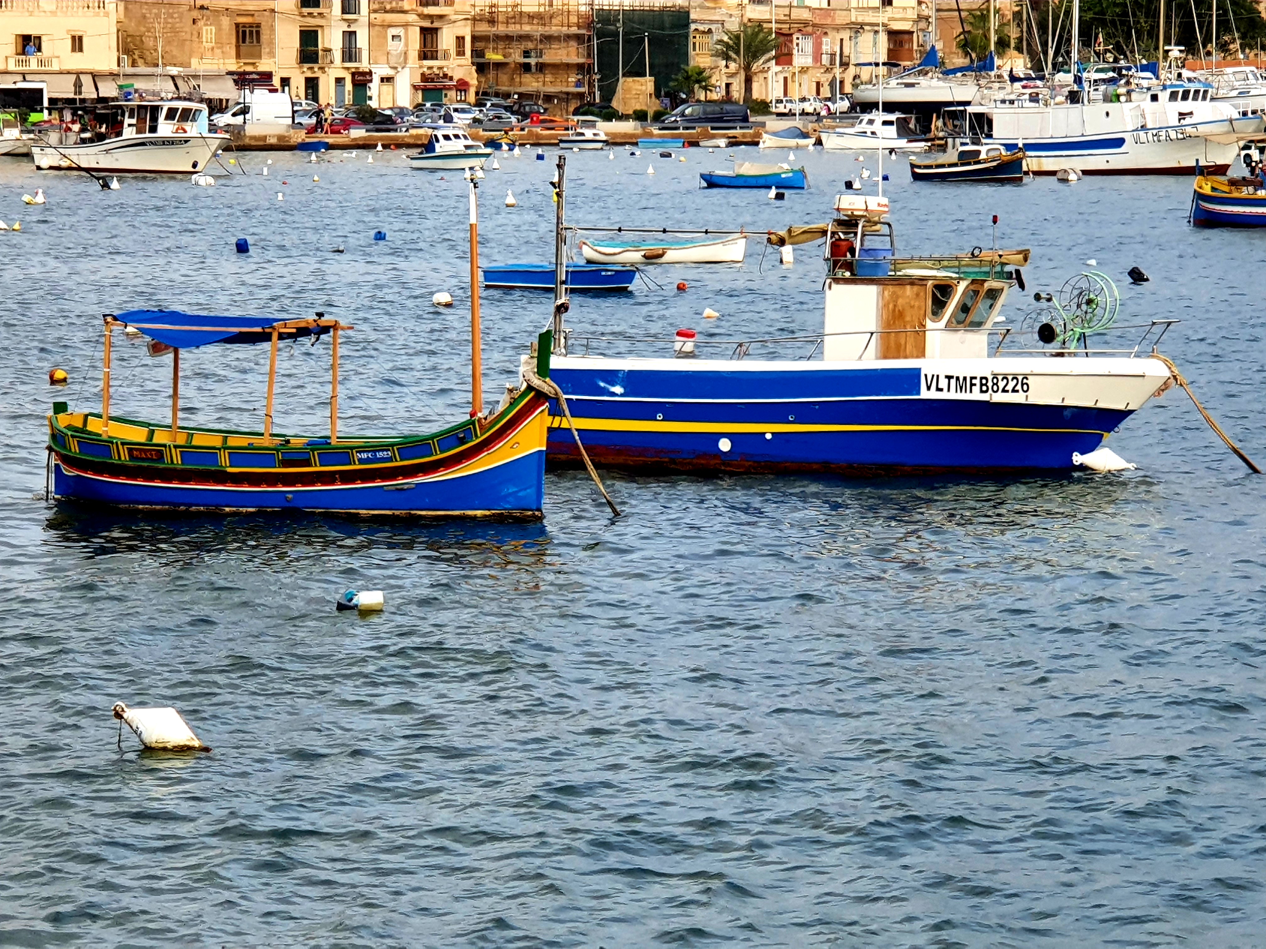
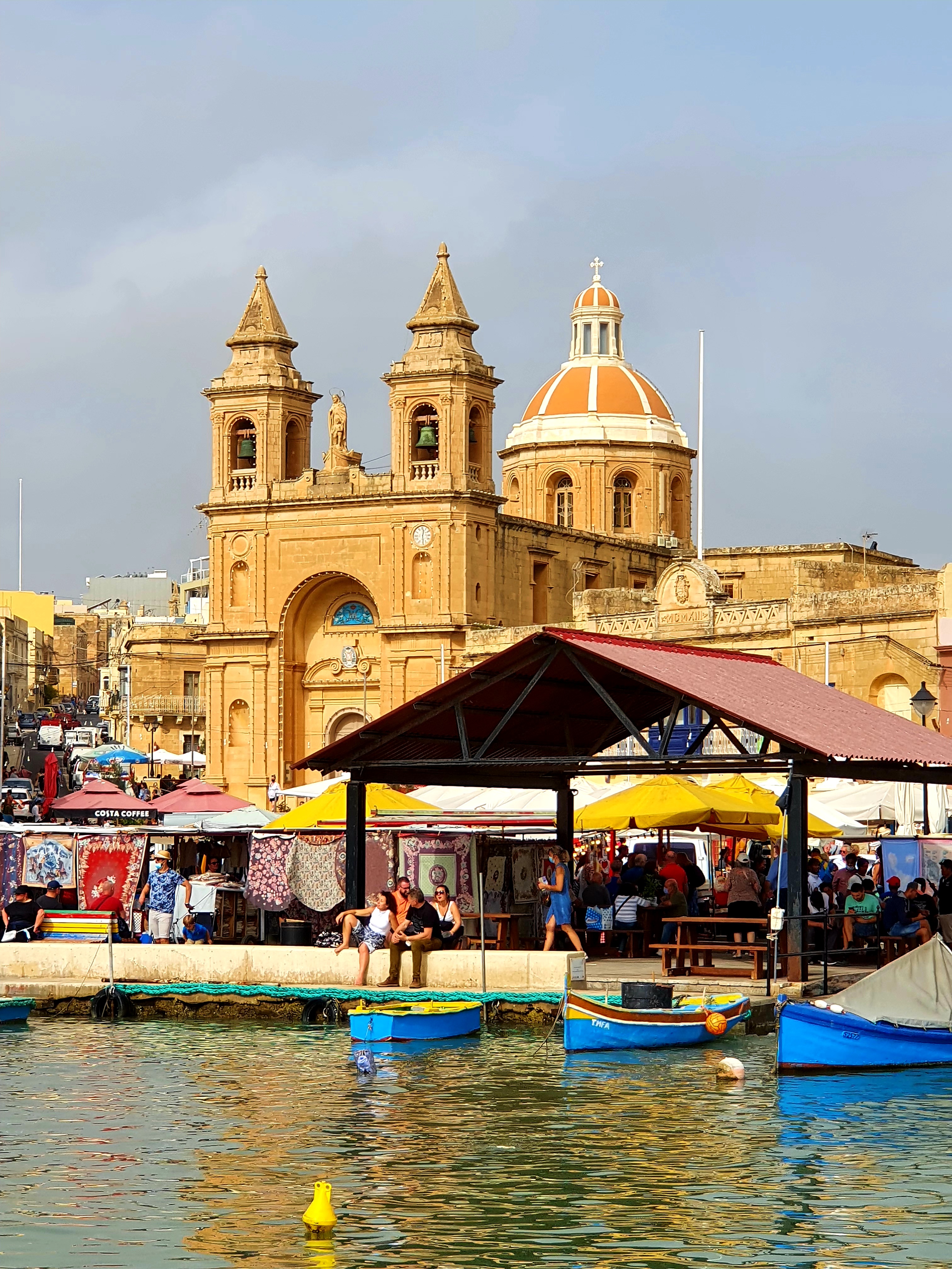
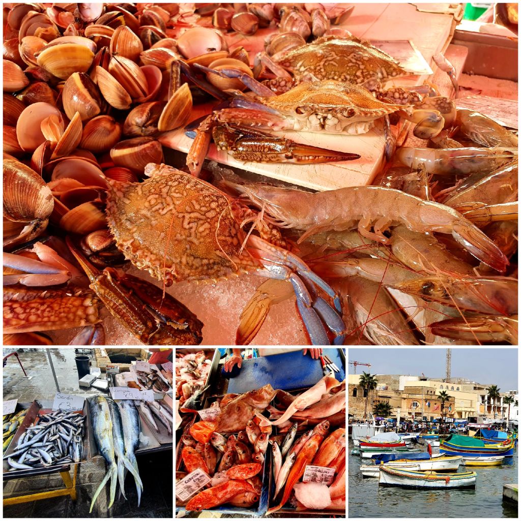
The breakfast was delicious and set us up for the day and it was so nice chatting to Jacob and his Mum. After breakfast we caught the bus to Marsaxlokk which is a gorgeous traditional fishing village.
We walked along the colourful waterfront into the town, passing some really lovely buildings and fishing boats known as luzzus. These boats are said to owe their design to the ancient Phoenicians who were in Malta around 800 BC.
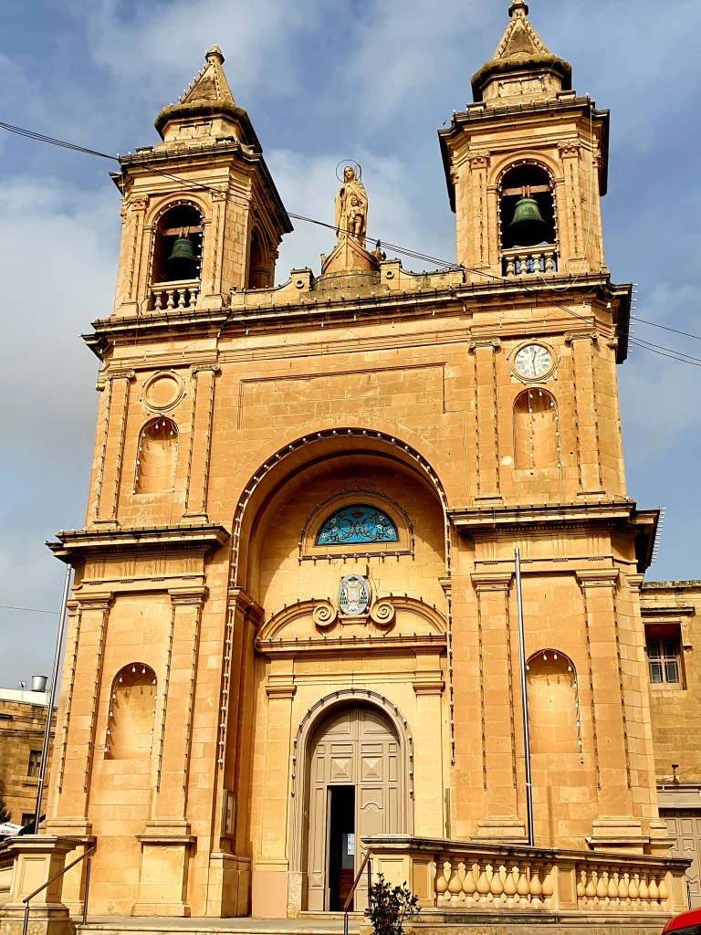
We walked a little way into the town to the Parish Church of Our Lady of Pompeii. This is a really impressive church which was built bear the sea coast to save the fishermen travelling to churches further away. Unfortunately we couldn’t go in as there was a service going on.
We then decided to have a wander through the market. As it was a Sunday the fish market was in full flow.
The market stalls were selling a whole variety of things including other food, souvenirs and clothes and it went on for miles!
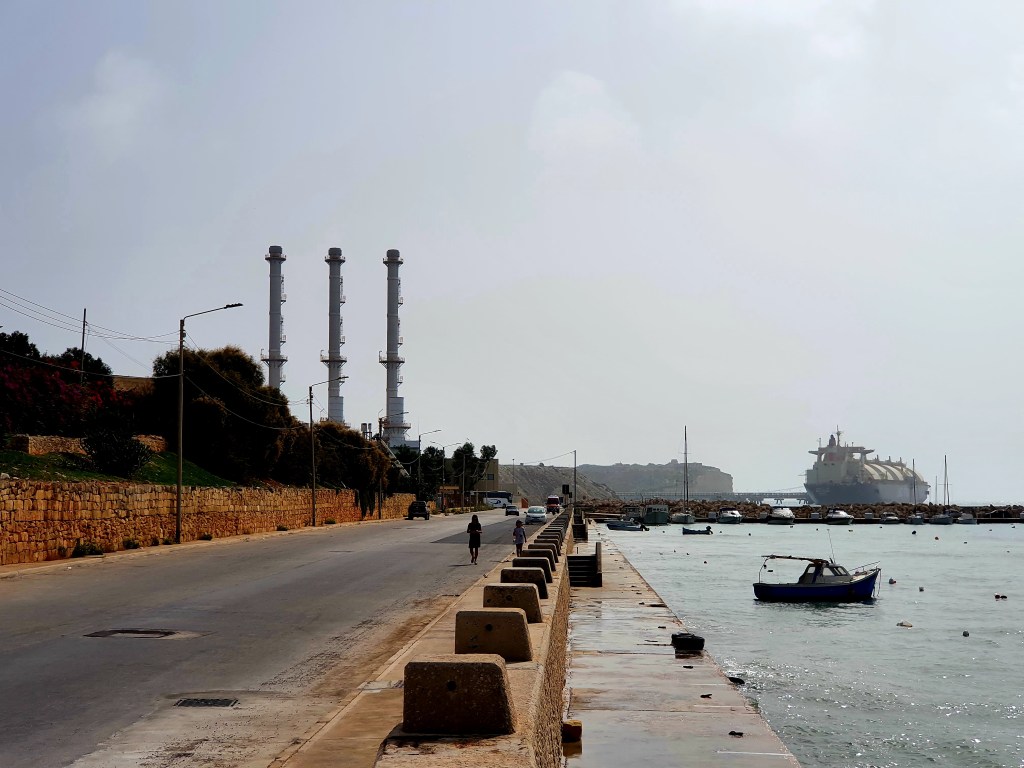
After a long wander around the market we decided to walk to St Peter’s Pool. It was a really hot day and the walk was around 2.5km and quite a lot was uphill! The initial part of the walk was in the direction of Delimara point. This was a lovely area but the views are now spoilt by a huge power plant.
As we walked away from Marsaxlokk we took some pictures looking back at the town.
Eventually we made it to St Peter’s Pool. This is a lovely natural swimming area and a lot of people also use it to jump off the cliffs into the water, we did see a couple of people doing this while we were there. There were a few people there but initially only 1 person was in the water. We did think about getting in as we were so hot but the water was really choppy and there didn’t seem to be any easy way to get out of the water once you were in there.
We had a little rest at the pool before heading back to Marsaxlokk. As it was only early afternoon we decided to get a bus over to the Ghar Dalam Cave. Initially we got on a bus going in the wrong direction so had to get off and find one going in the right direction, but luckily we didn’t have to wait long.
As we walked down to the cave we walked past an old pill box. This was part of the fortification system during the second world war and its purpose was to engage with the enemy should an invasion take place. It used to be armed with machine guns and manned by six soldiers.
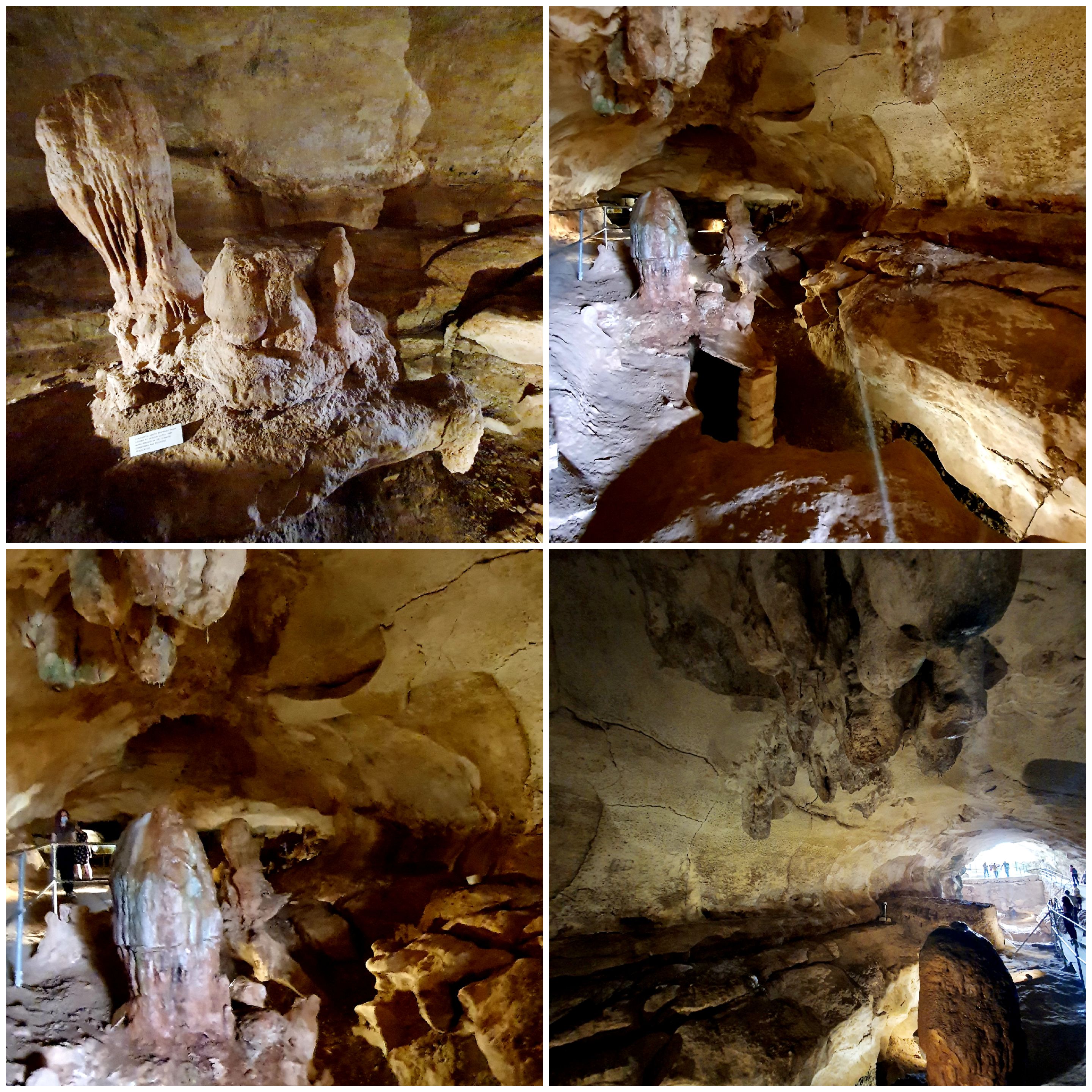
Ghar Dalam cave is the oldest national monument found in Malta. A collection of 180,000 year old bones were found in the cave belonging to long extinct animals. The bones appear to have been deposited here at the end of the Ice Age. You can see a lot of the bones in the museum that is attached to the cave and they have made up whole skeletons of the some of the animals that used to exist. This cave is also where the earliest evidence of human settlement in Malta was found, some 7,400 years ago.
The cave is 15.5m above sea level and is 144m deep but only the first 70m are open to the public. There are five different layers to the cave; a clay layer, a hippopotamus layer, a deer layer, an ash layer and a cultural top layer. The cave was also used as an air raid shelter during WWII. The stalagmites and stalactites were pretty impressive.
Today the caves support a unique ecosystem for a variety of animal species. Ghar Dalam hosts over forty different species of life form including a unique endemic creature, a tiny woodlouse known to science as Armadillidum ghardalamensis. It has no sense of sight and is highly sensitive to light. This is why the inner part of the cave is kept in complete darkness.
We still had some time left before we wanted to head back to Valletta so Nicola went on the internet to see what else was nearby. Being in a cave exploration mood we decided to go and visit another cave called Ghar Hassan. This cave is so called because during the Great Seige it is believed that this is where a Turk called Saracen Hassan hid after he kidnapped a Maltese girl. When he was found by the Maltese people, rather than be captured, he jumped into the sea taking the Maltese girl with him and killing them both.
This cave was not easy to find. Firstly we stayed on the bus too long and missed our stop. This meant we had to walk back on ourselves for around 20 minutes, but we did pass a playmobile land!
Once we found the small car park you had to go through a gap in the fence to start the walk down some steps to the actual cave.
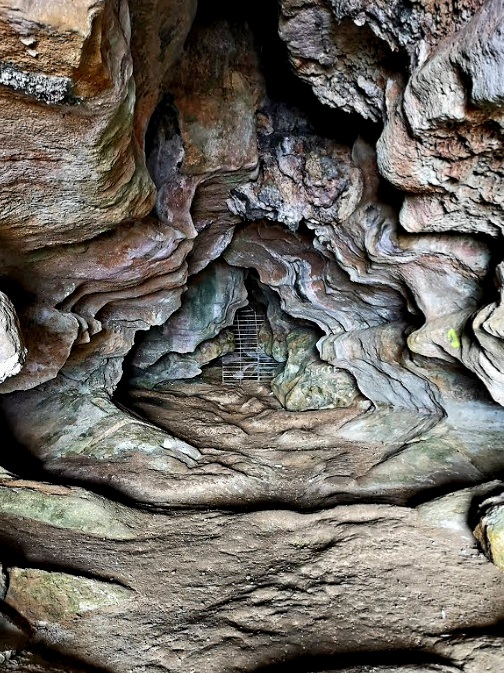
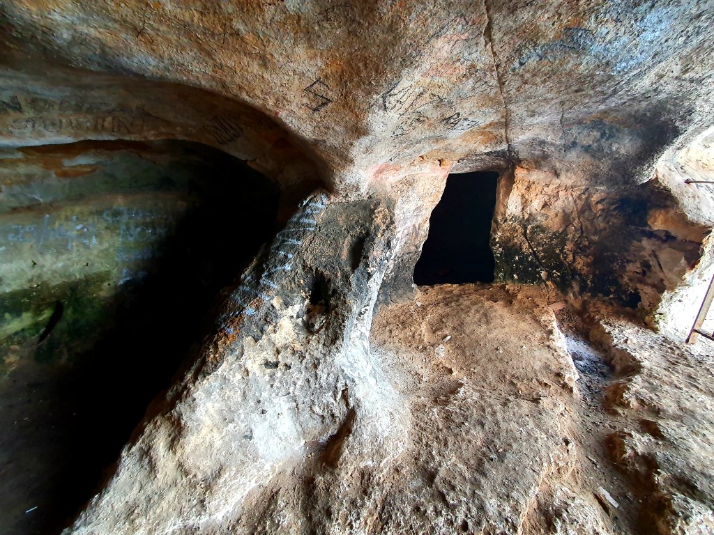
To get to the entrance you have to walk down some steep steps carved into the cliff face. The entrance itself is around 5m high and 6m wide and is 75m above sea level. You definitely need a torch as there isn’t much light when you start walking into the cave. The cave is around 400m long. As you walk down you come to some iron bars which are there to protect some rare mouse eared bats.
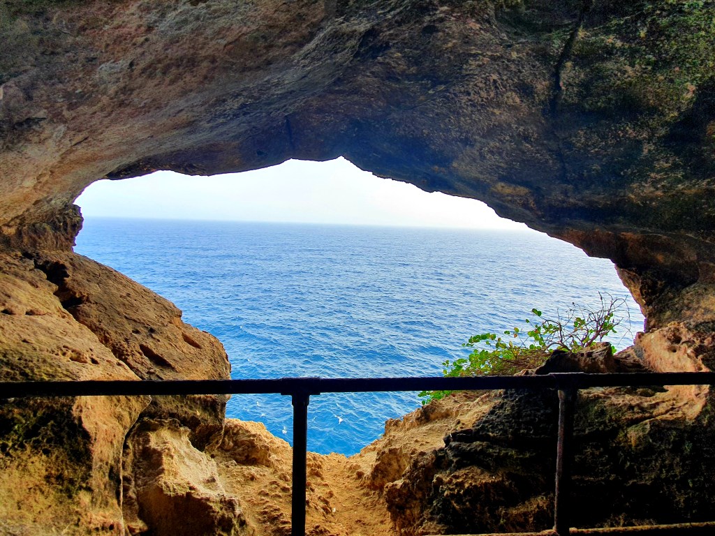
Just before the iron bars is an opening on the right and if you walk down this tunnel you come to a viewing point, and the views from here are gorgeous.
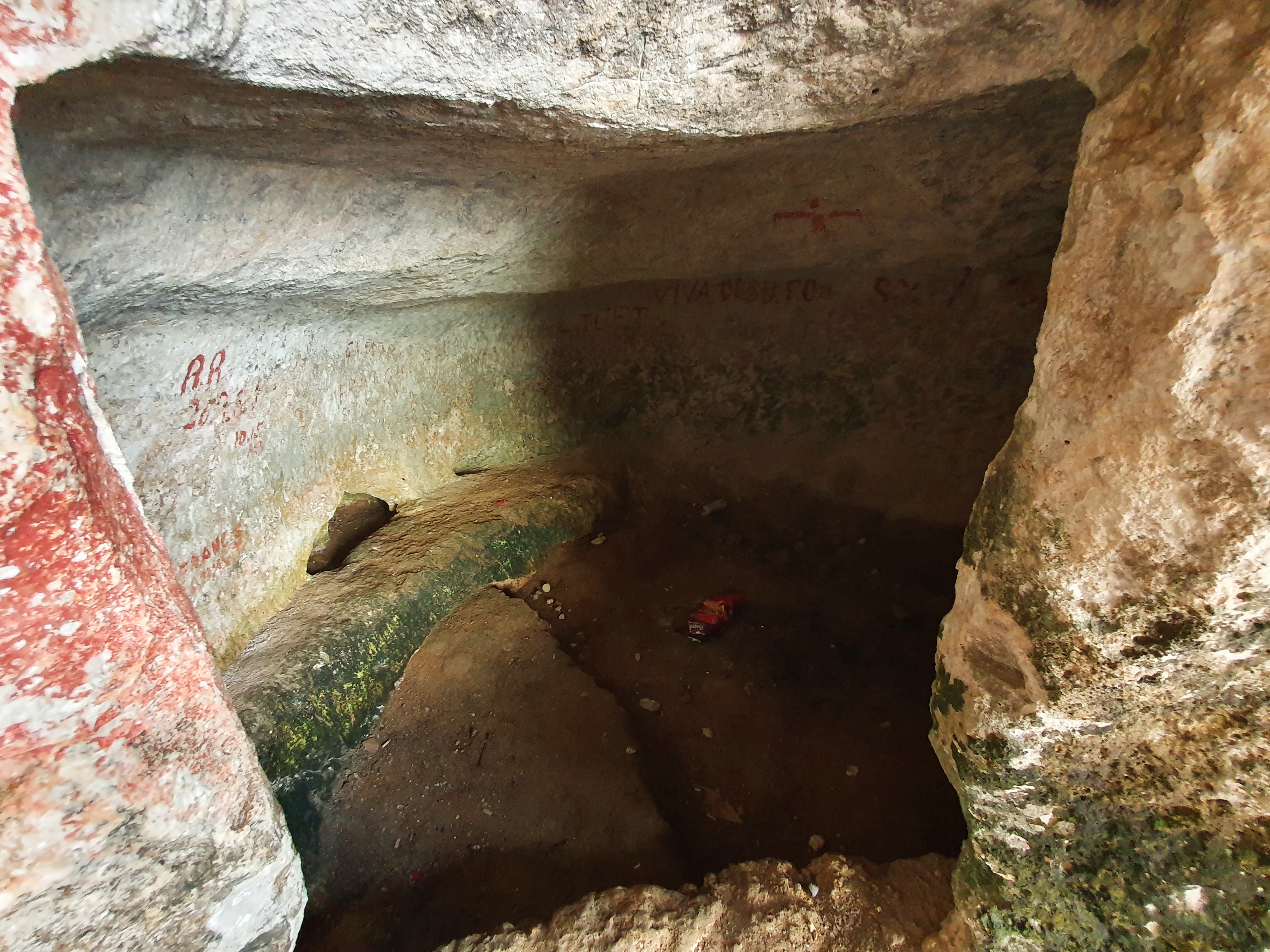
If you keep on going through the tunnel, past some fallen rocks you come to another viewing point.
Just beside this viewing point is a small door that leads into a small circular chamber. It is believed that this is where Hasan was hiding.
Now at this point you could turn round and go back the way you came but we had read a blog that said you could go down one of the side tunnels and end up back at the first viewing point – so we decided to give it a try. It was a bit narrow at times and a bit low so you had to be careful you didn’t bang your head.
You just had to keep going until you saw the light at the end of the tunnel.
As we came back up from the cave the sun was just starting to set behind the cliffs.
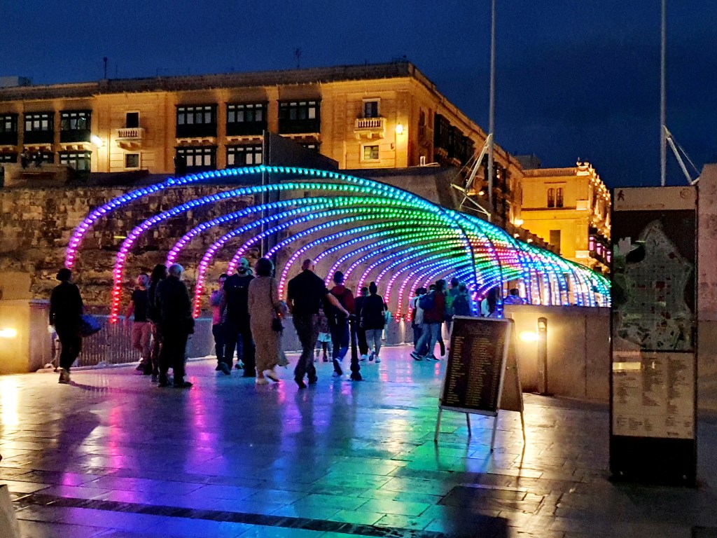
We walked back to the bus stop we should originally have got off of and got the bus back to Valletta. The bridge into the city was really colourful as we walked home.
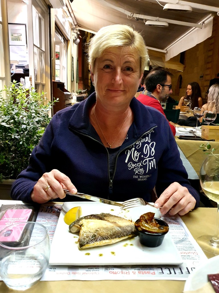
In the evening we went to Luciano restaurant which was right by St John’s Cathedral in the city centre. Nicola had the traditional beef bragioli which were delicious and I had a very tasty vegetable risotto.
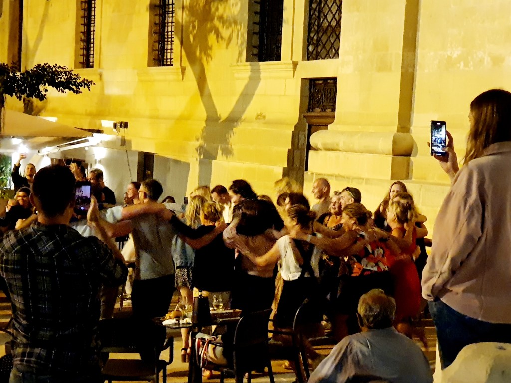
The restaurant the other side of the Cathedral had live music so when we finished dinner we went over there to have a look and they were all doing greek dancing.
After a busy schedule to date we decided not to set the alarms and just get up when we woke up. We were both awake around 830am so not a long lie in!
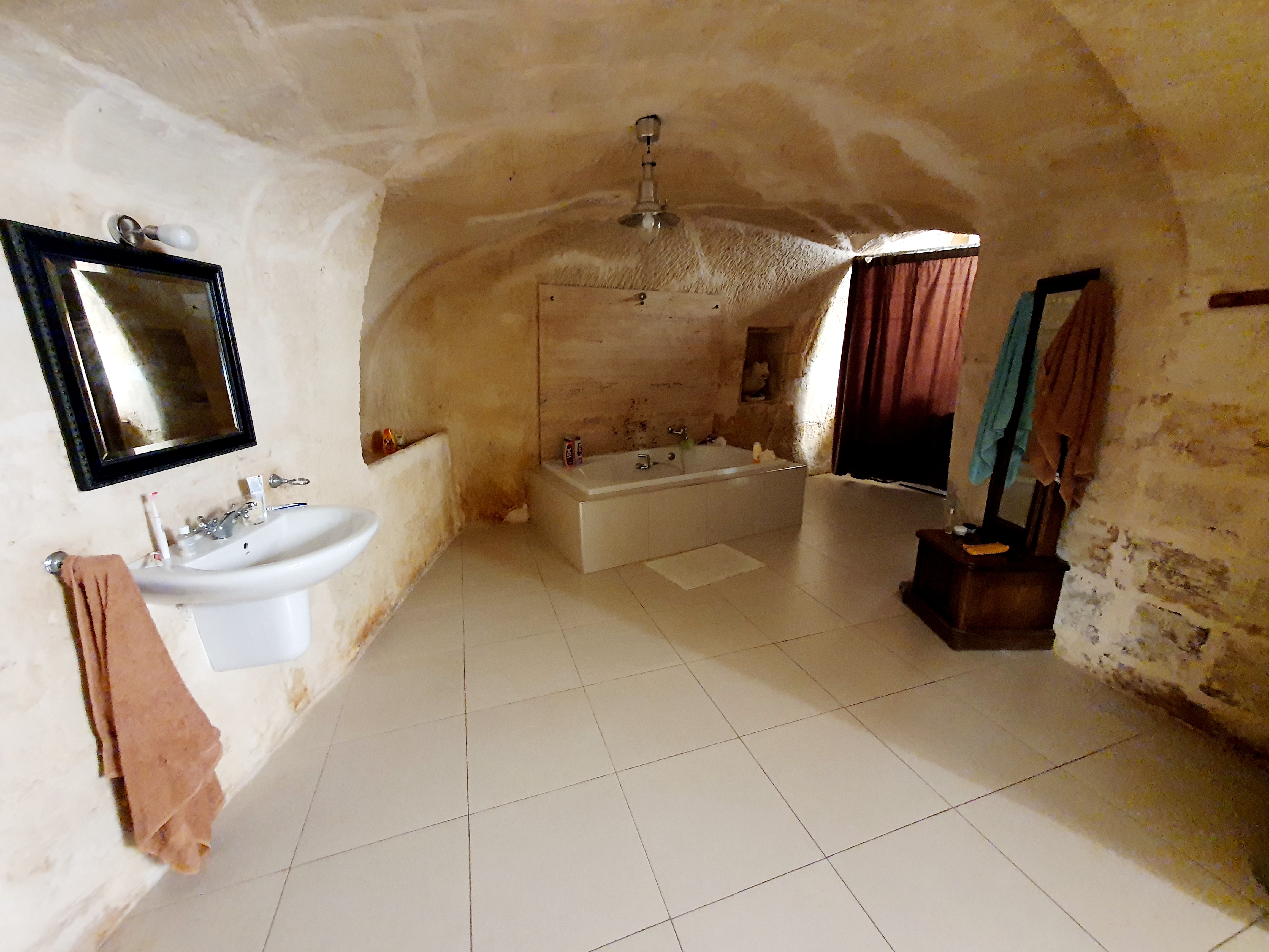
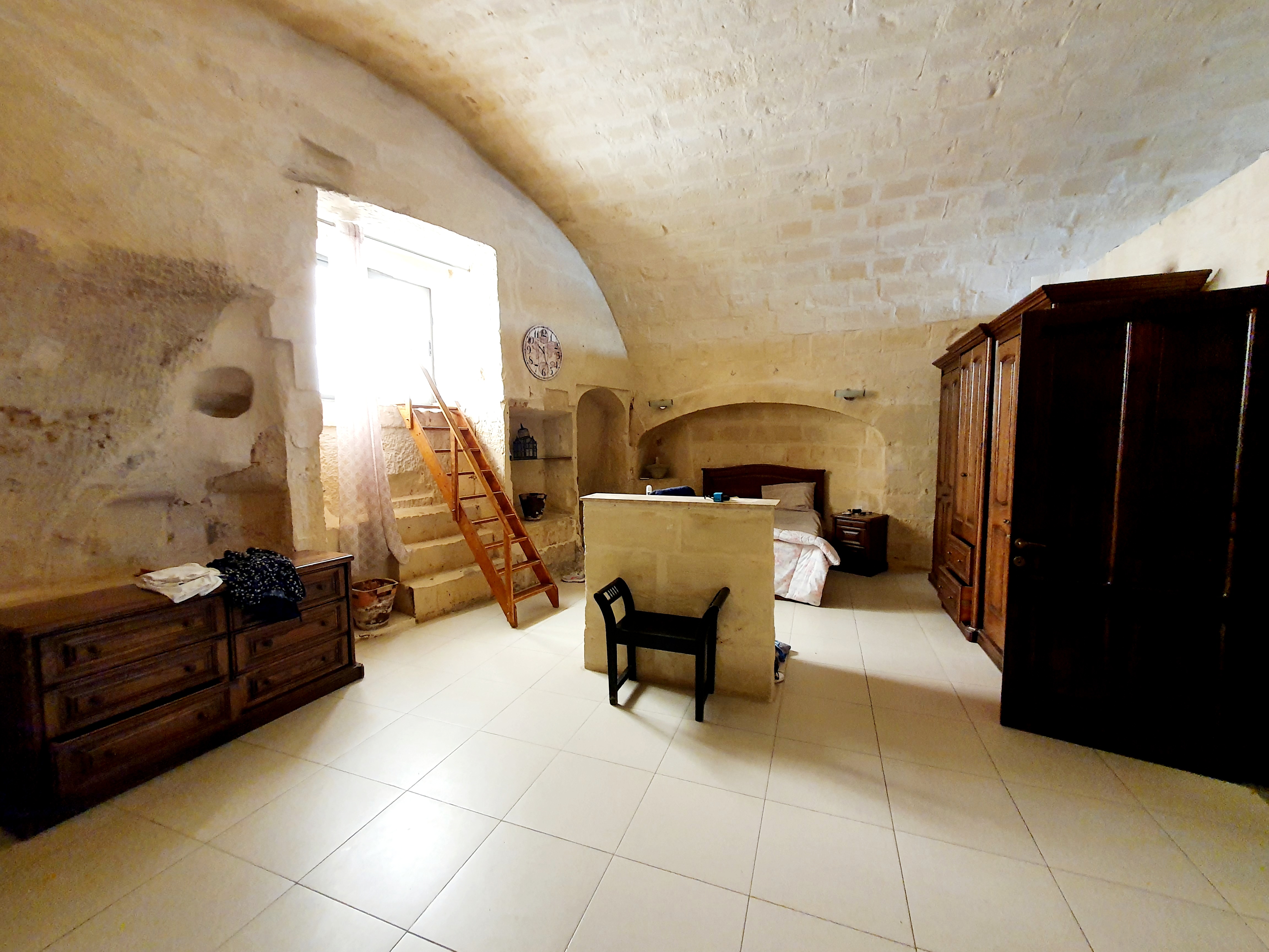
Our apartment is huge, loads of space but kind of a wierd layout in that there is just a curtain between the bedroom and bathroom. Also, because of the age and style of the building the walls and ceiling crumble a bit every day so the floor and furniture can get a bit dusty.
The stairs in the photo above are where you can climb out the window onto the fire escape stairs that lead up to the roof terrace.
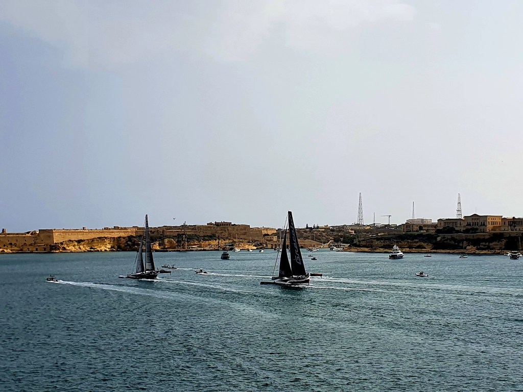
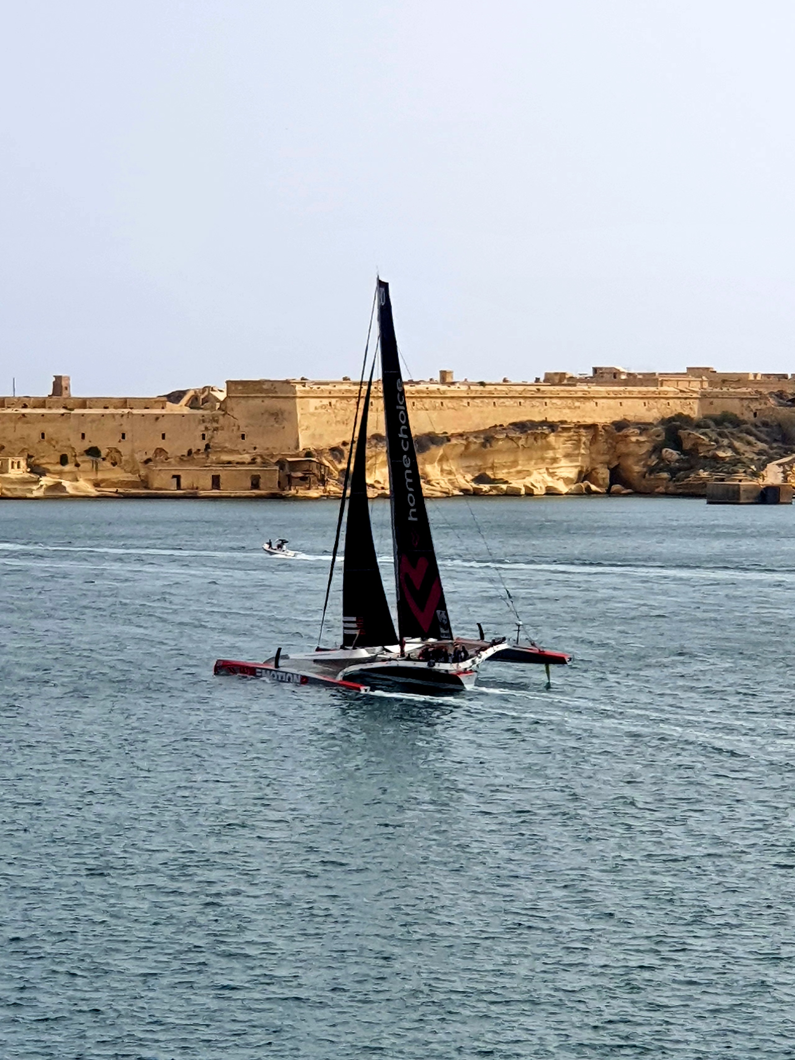
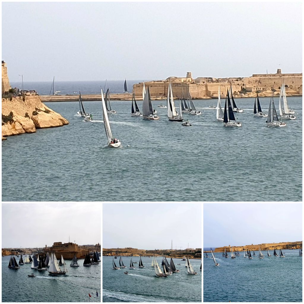
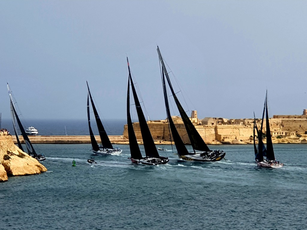
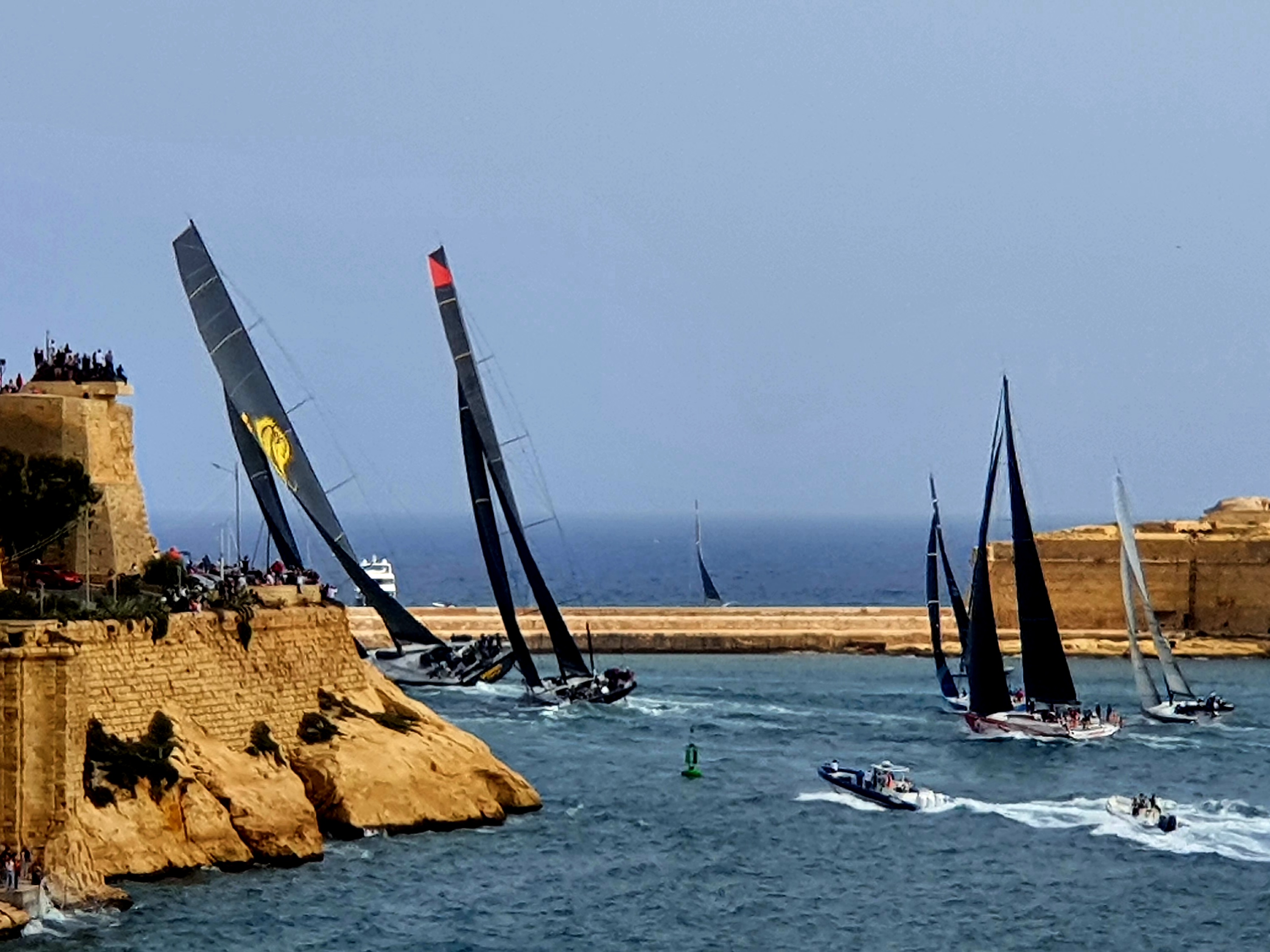
We had heard that there was a boat race happening today and that the boats would be leaving from the Grand Harbour – right outside our apartment! With a bit of research we discovered it was the Rolex Middle Sea Race and there were around 114 boats taking part.
As we were having a relaxing morning we decided to cook ourselves an English Breakfast which we ate upstairs on the terrace. The Maltese sausages are called Wudys and are like hot dogs and they have cheese in the middle of them.
We prepared ourselves for front row seats for the race, balancing our chairs on top of pallets so we could see over the terrace wall, and arming ourselves with a bottle of fizz.
We could see all the sailing boats and a few catamarans gathering in the Harbour. The first wave was sent off with a blast from the cannon and it was the catamarans.
The next few waves all seemed to be similar style boats. You could see from their sails which country they were from.
The last race of the day was the larger racing boats and they were really impressive. As they headed out to the gap before the sea they all had to lean really hard one way.
I don’t know anything about sailing but it was exciting to watch the start of the race. Apparently the boats race for 2-3 days past the shadow of Mount Etna, through the Strait of Messina, around the active volcano of Stromboli, along the north and west coasts of Sicily down to the island of Lampedusa, off Tunisia, before returning to Malta.
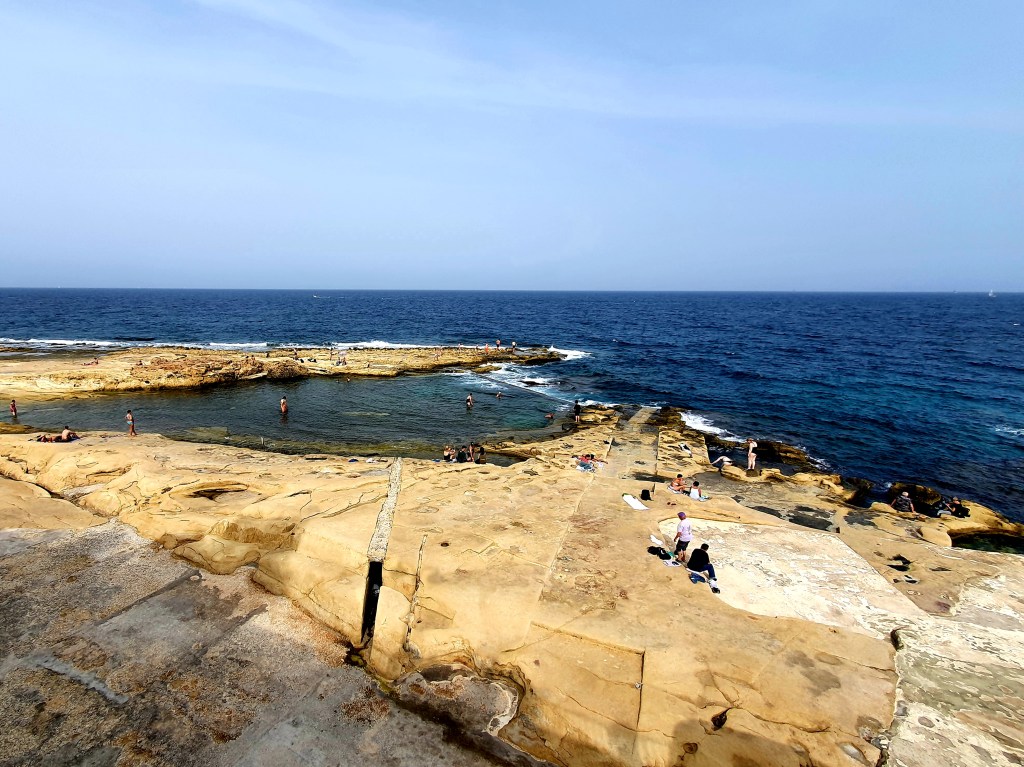
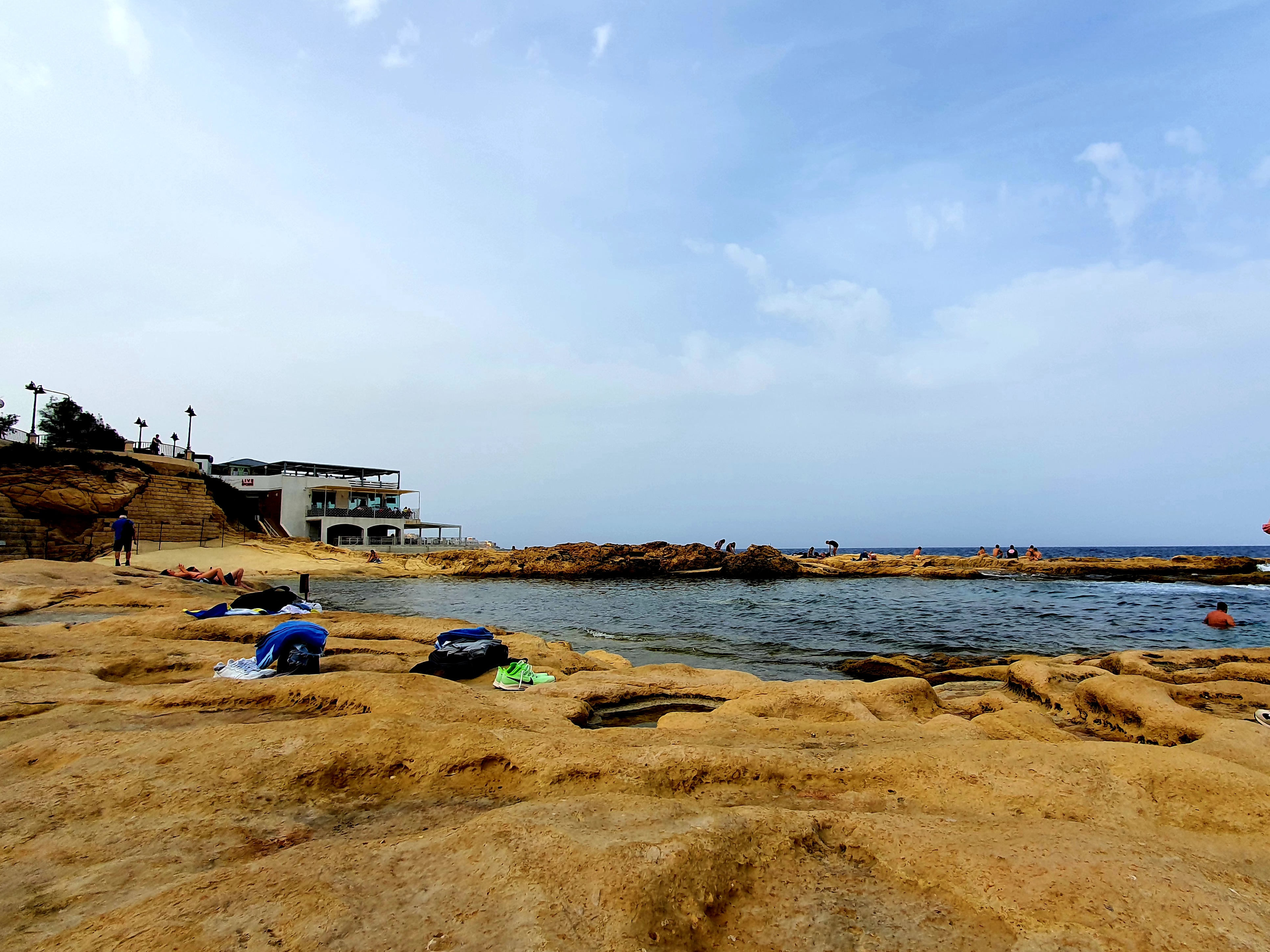
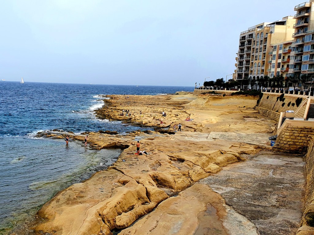
As it was a relaxing day and the sun was shining we thought we would spend the afternoon on the beach. Having a quick look on google we settled for Fond Ghadir beach in Sliema.
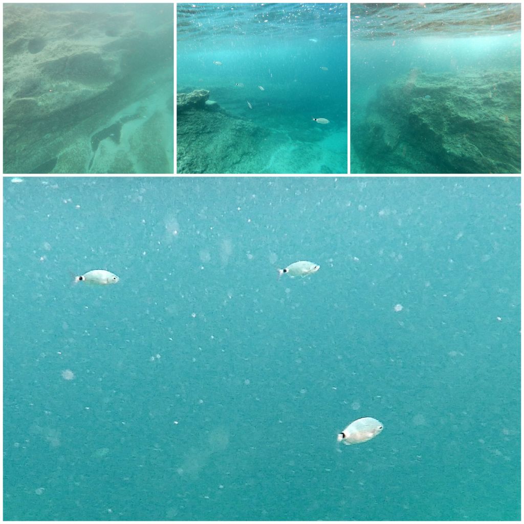
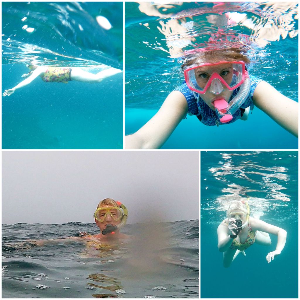
It was quite a rocky beach and the sea was a bit choppy so it wasn’t that easy to get in and out. But we did go in and had a snorkel to see what we could find. There wasn’t a huge amount to see.
So we took some pictures of each other and ourselves instead.
It wasn’t the prettiest beach but it was close by and a nice spot to sunbathe.
Nicola went back in for a swim a bit later on but I stayed out in the sunshine! You can see some salt pans in the photo below. The shore around the beach is very rocky and wave action deposits water in the hollows in the rocks. When the water evaporates, salt crystals are left behind. At some point this natural hollows were made into salt pans to try and produce salt for commercial purposes. Salt was known as ‘White Gold’ during the medieval times as it was used to preserve food.
This is a view looking back over the beach.
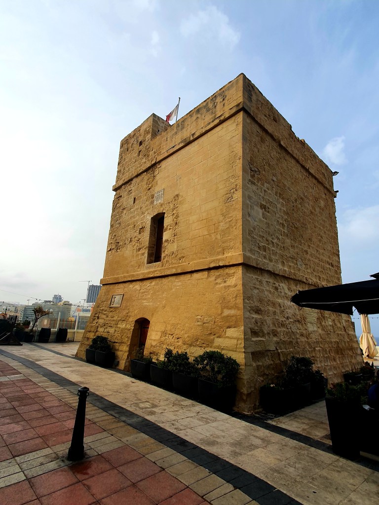
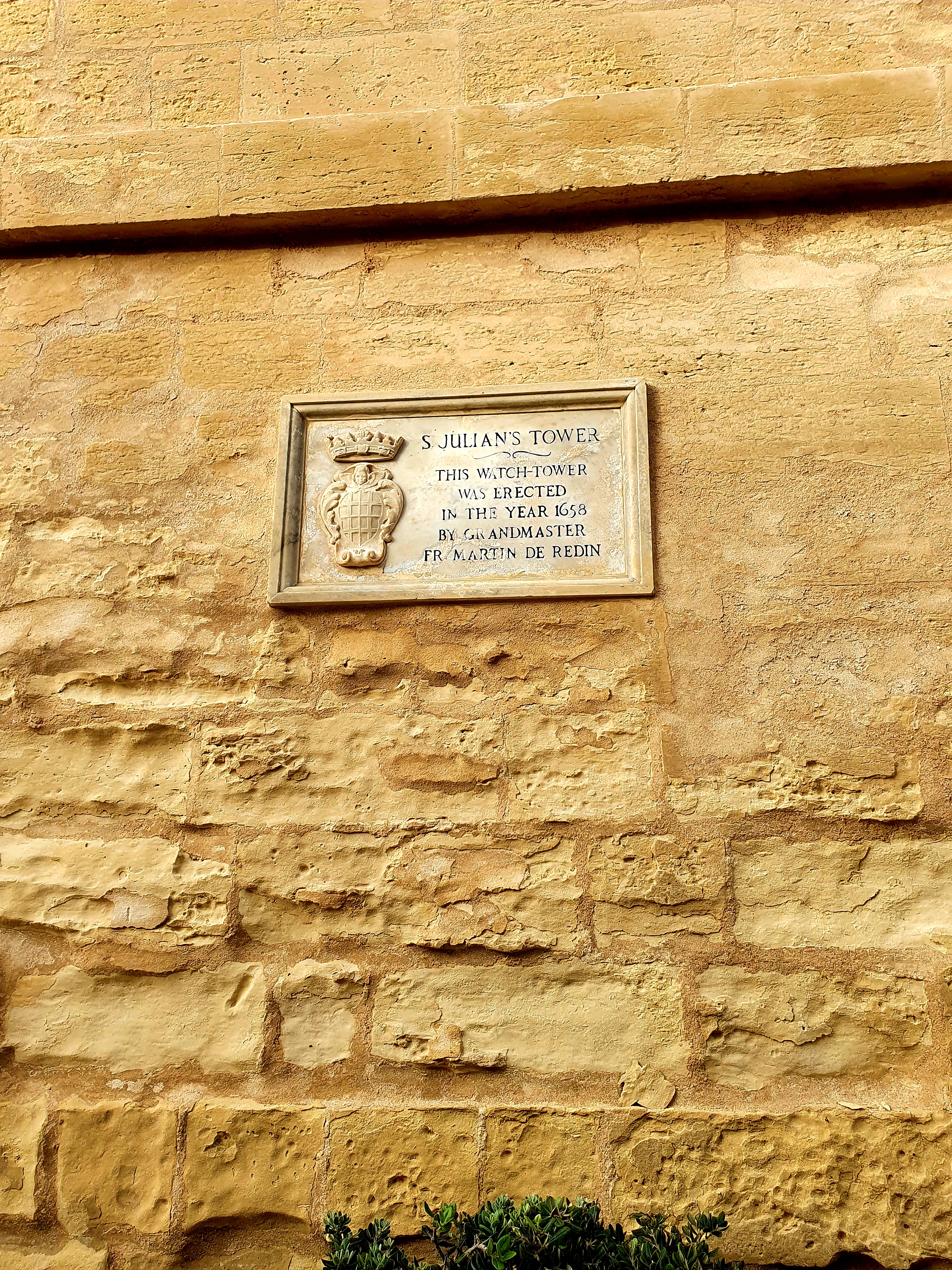
We walked along the coast line for a bit to St Julian’s Tower. This is the 5th of 13 towers that were constructed to defend the coastline of Malta. Each of the 13 towers were built so that they were within sight of the next tower. Therefore, when one tower saw a raiding party approach from the sea, a signal would be passed from one tower to another and started a chain alert. During the day signals were passed by means of smoke signals and during the night it was bonfires.
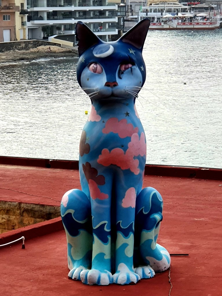
As we carried on walking we saw a massive blue cat on someone’s roof.
After getting the bus back to Valletta we made a reservation at one of the restaurants for that evening. As we walked home we noticed a little shrine in the wall in the tunnel we walked through.
The photos below are our flat from the outside and the roundabout just at the end of our road.
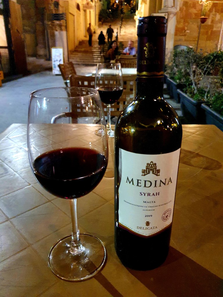
Our meal at Il Ristoranto Italiano was delicious and we had a lovely bottle of white wine to go with it.
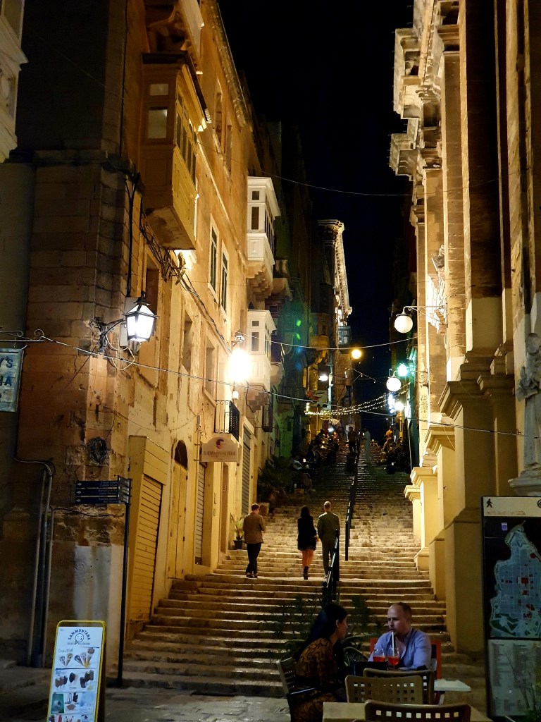
After dinner we wandered around and then made a stop down one of the small side streets for a cocktail as they had a singer there too.
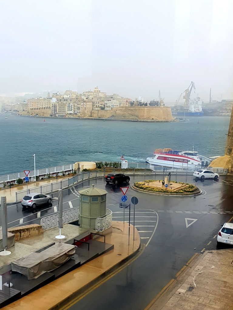
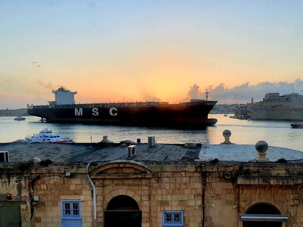
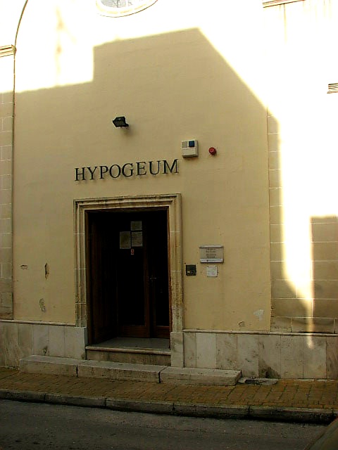
It was another early start as I had booked tickets to go to the Hypogeum prior to the holiday. They only let 80 people in every day so its quite hard to get a spot and when I booked, the only slots available were the early morning ones. Just as were having a coffee and tea a huge tanker went past, through the Grand Harbour outside our window.
As we walked up to Valletta bus terminal we passed through Victoria Gate. This gate was built by the British in 1885 and named after Queen Victoria. This gate is the only surviving gate within the walls of Valletta as all of the other fortified gates have been demolished. The two arches have the coat of arms from Malta and Valletta and the British coat of arms is at the top.
We had to be at the Hypogeum for 9am and luckily it was only around 20 minutes by bus. At the bus terminal in Valletta we bought a 7 day bus pass which we certainly got good value from throught the holiday.
We arrived in Paola a little bit early so had a quick look at the parish church – Basillica of Christ the King. Unfortunately we didn’t have time to go inside and explore.
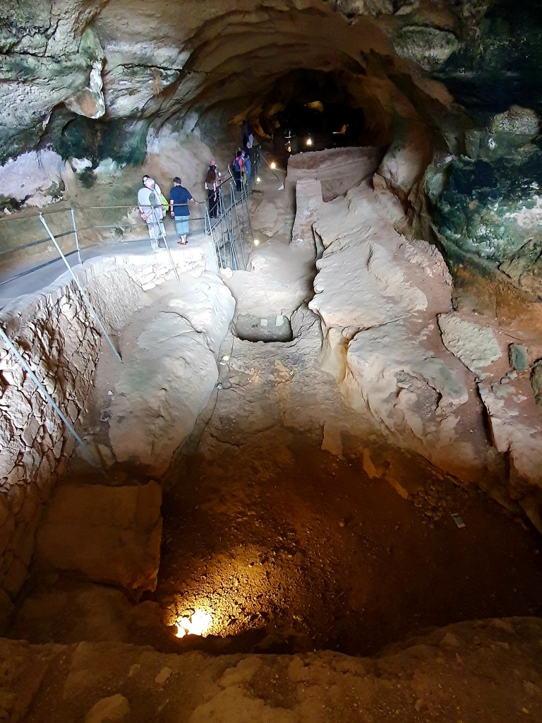
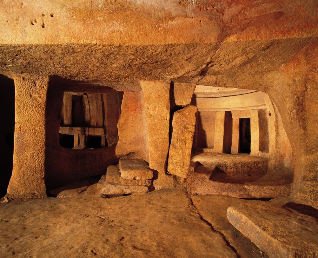
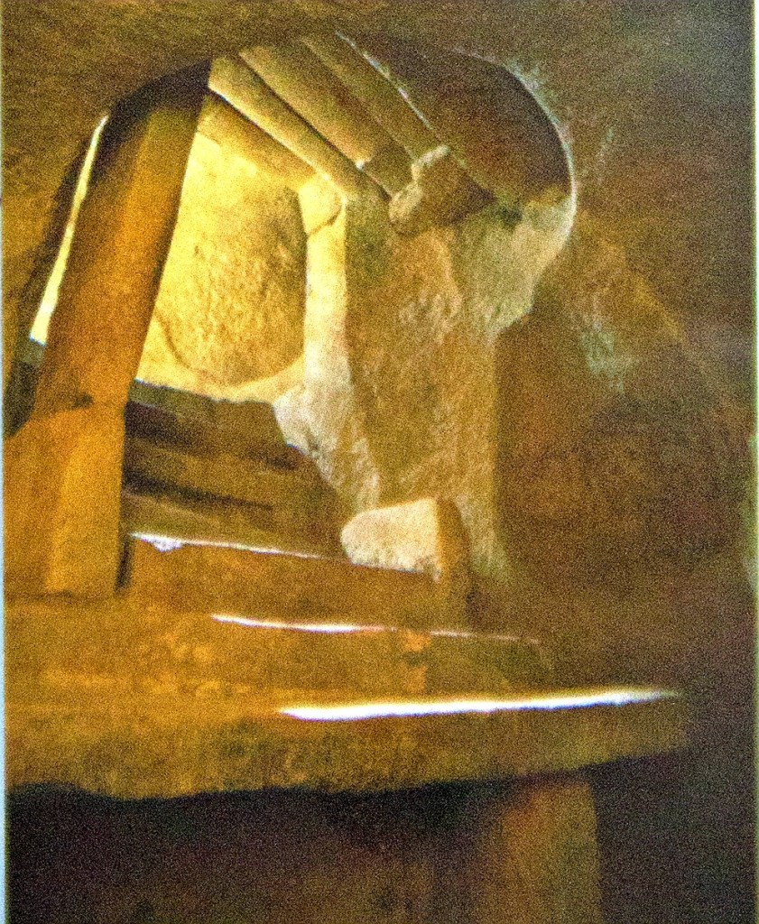
At 9am a few of us were gathered outside a very unassuming building down a small side street, it didn’t look like it housed anything spectacular. You were not allowed to take any photos inside the Hypogeum (I’ve borrowed some from the internet) but it was pretty amazing. To think that it had been built over 5000 years ago.
The Hypogeum has three levels and lots of halls, chambers and passages carved out of the living limestone. It covers an area of around 500 square metres.
The upper level dates back to 3600 BC and was mainly a large open space with burial chambers off to the side. It was the first level that was constructed and was originally made by enlarging a natural cave. The entrance triathlon can be found on this level.
More burial chambers with examples of stone carving and decoration can be found in the middle level. One of the most impressive chambers on this level is called the Holy of Holies. The rock has been carved to give the impression of built masonry. No bones were found in this area and it appears to be positioned so that the light from the winter solstice would have illuminated it from the original opening above.
Also in the middle level is the Oracle room. There is a little niche at the far end of the chamber and if you make a deep sound into it, the sound resonates all over the chamber. The ceiling of the chamber is decorated with ochre swirls which would have looked amazing in fire light.
The lower level, which is 10.6m below street level, is reached via uneven steps. The steps lead to chambers which were probably used for storage.
The Hypogeum was accidentally discovered in 1902 by a stone mason who was laying the foundations for a number of houses on the site. He was building the cisterns for the houses when he dug through a roof of a chamber.
Remains of around 7000 individuals and artifacts were discovered at the site. It is thought that the upper level was built for burials and as the cave filled up new chambers were cut deeper into the rocks.
The microclimate of the Hypogeum is strictly controlled and only 10 people can visit at any one time. This necropolis was definitely worth a visit, travelling back in time and it was amazing to see.
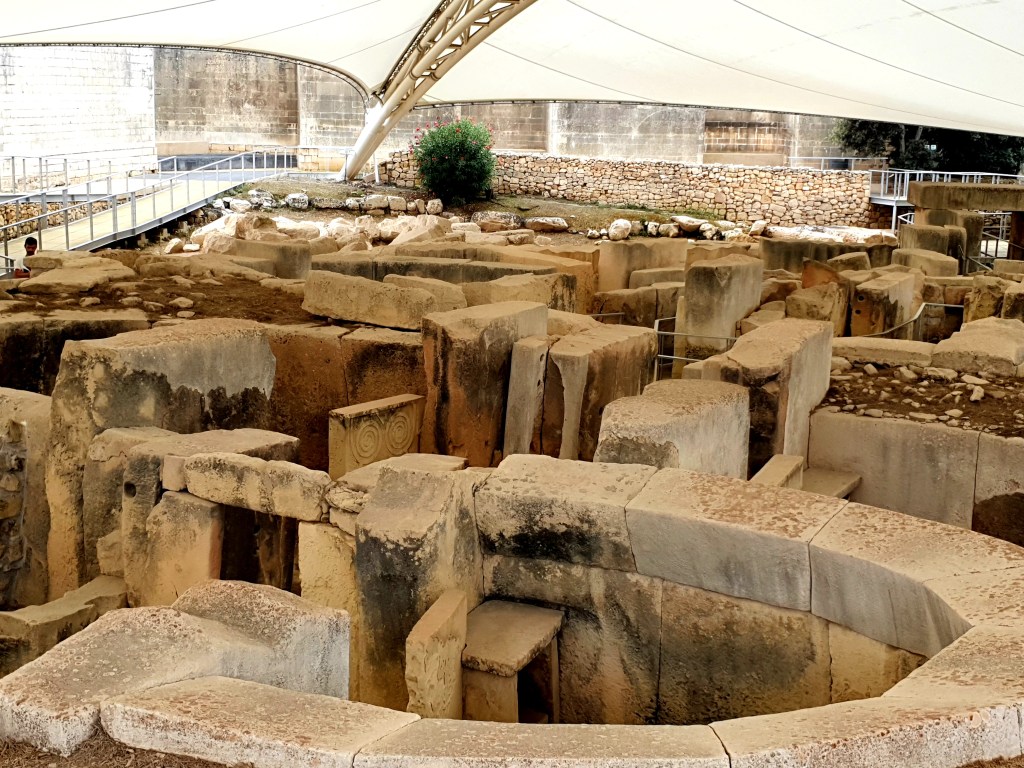
After the Hypogeum we decided to go and visit the Tarxien Temples as this was only a 10 minute walk away. These temples are the most complex of the temples found in Malta.
The eastern side of the temple has mainly been destroyed and only the lower part of the walls have survived.
There are three other structures and many of them have a central area with a number of apses coming off this central area. Little is known about what took place within the buildings but it is thought they were an important communal centre for social, religious, political and economic activities.
One of the stones had a bull carved onto it and a number of animal bones were found in the temples which indicates that animals probably played an important role in the rituals that took place here.
Many of the alters and rocks had spirals or other decorations carved into them. Most of the artifacts found here are now displayed in various museums.
It is thought that in the Bronze Age the temple was used as a crematorium as in some areas the walls of the temple have been blackened.
It was a really interesting site to walk around and hear all about the history from so many thousands of years ago. When we were walking around the temples we got bitten quite a lot by some sort of gnat or mosquito and both of us came away with a number of itchy bites.
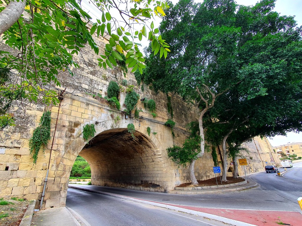
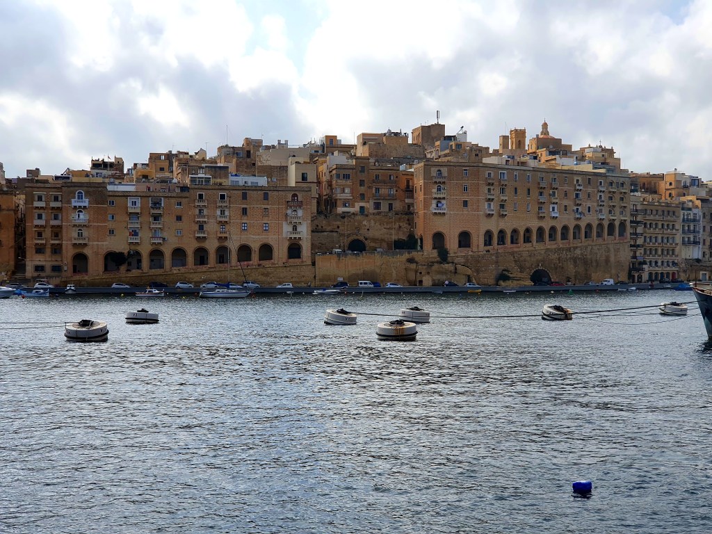
After the temples we decided to walk to Birgu, one of the 3 cities, the other two being Cospicua and Senglea. It was around a 45 minute walk, but the weather was sunny so it was really nice. As we got towards the 3 cities we passed through the old city walls.
We also passed by the church and monastery of St Margaret. This church was built for the carmalite sisters and was built on old medieval chapel. It was initially a home for destitute girls.
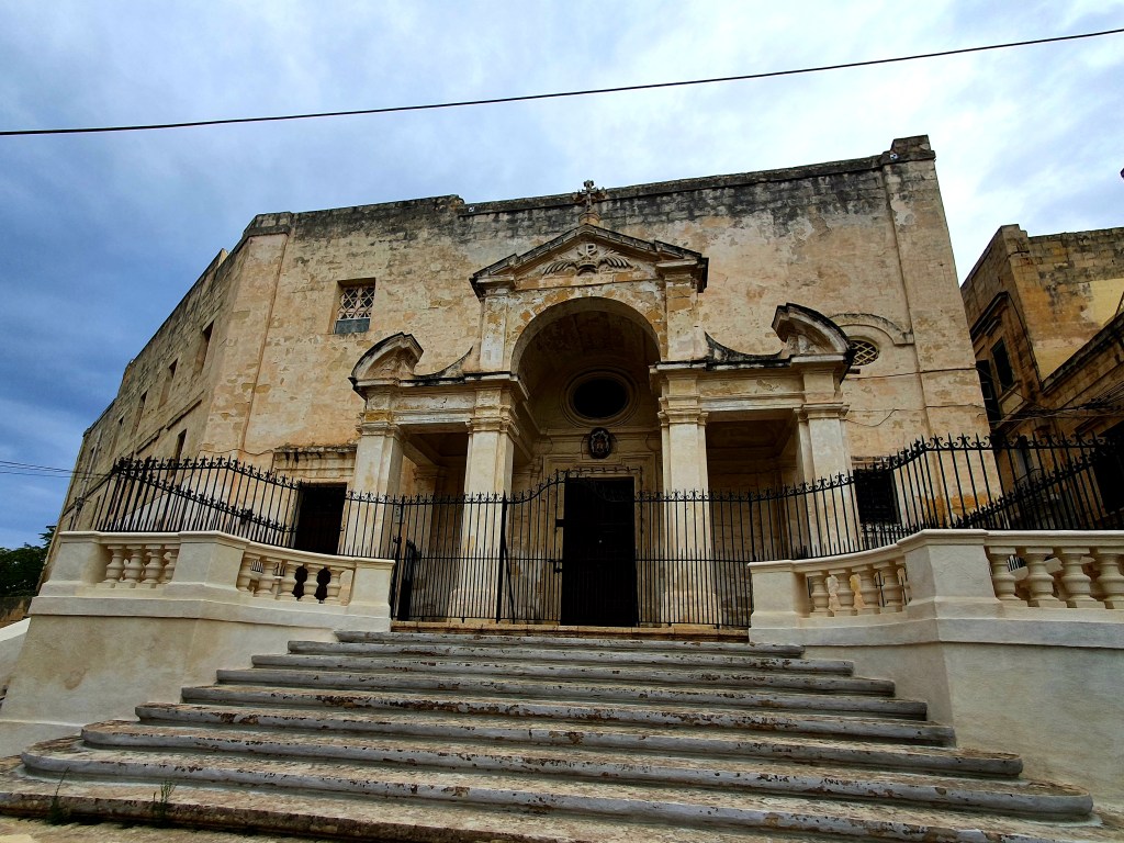
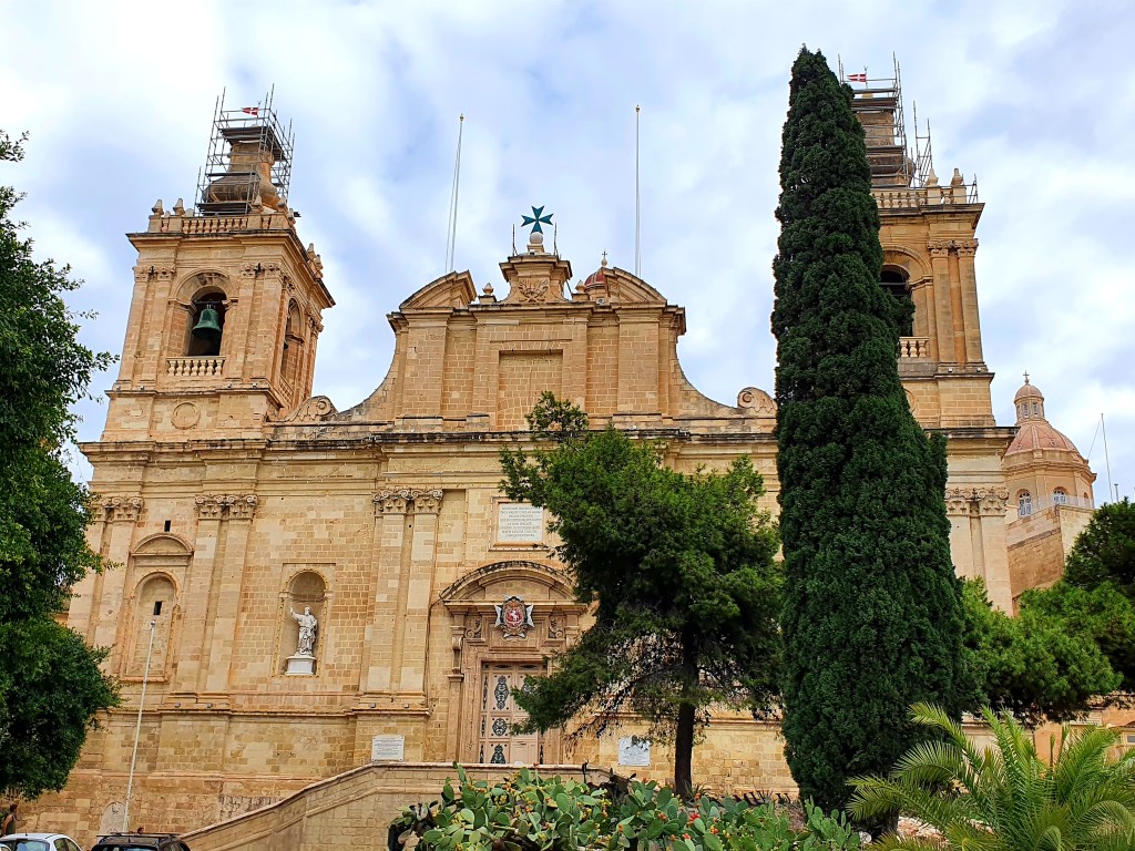
Birgu was the Knight’s first base in Malta. The old entrance into the city has been replaced by a very impressive main gate.
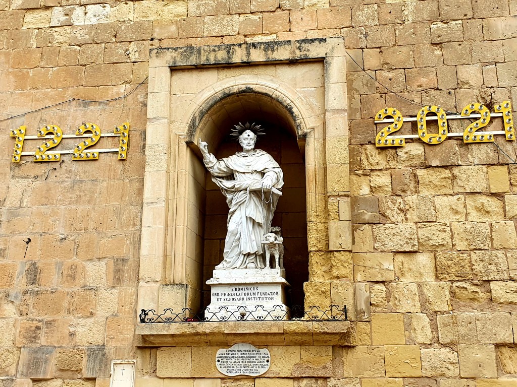
Just inside the city gate is a statue of St Dominic.
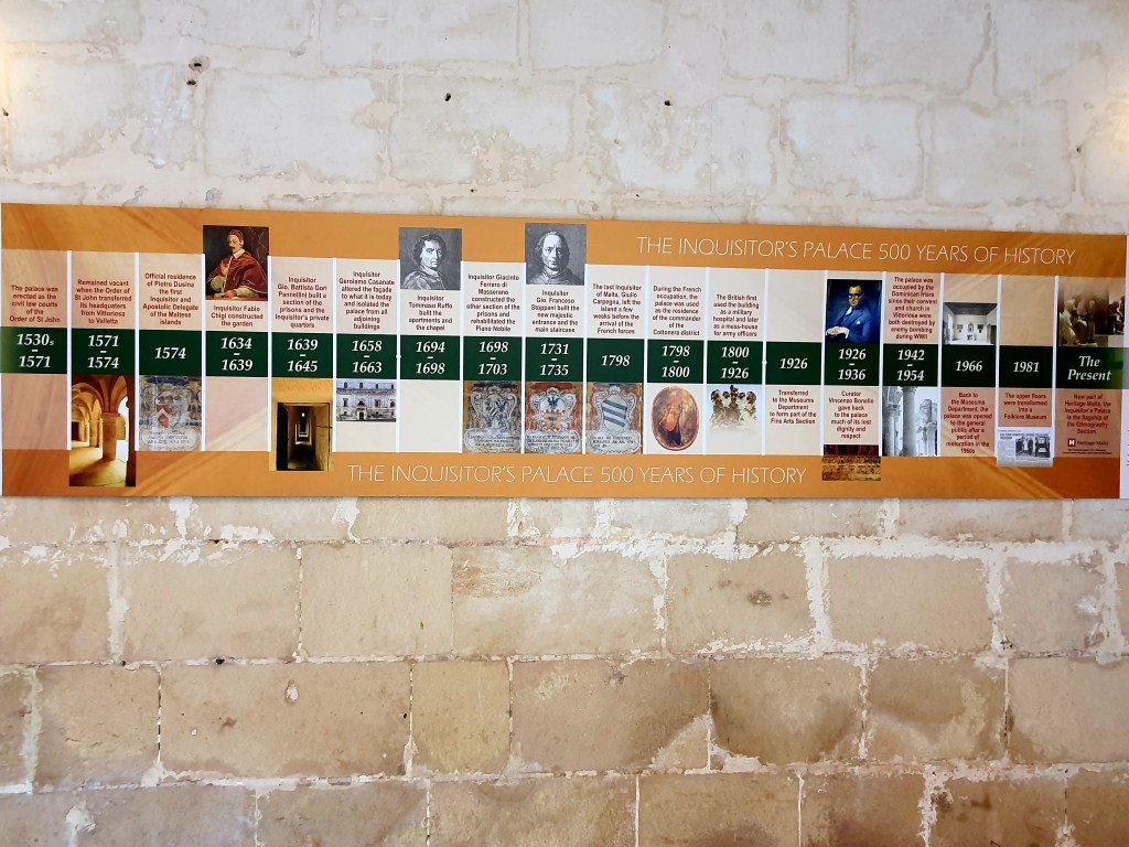
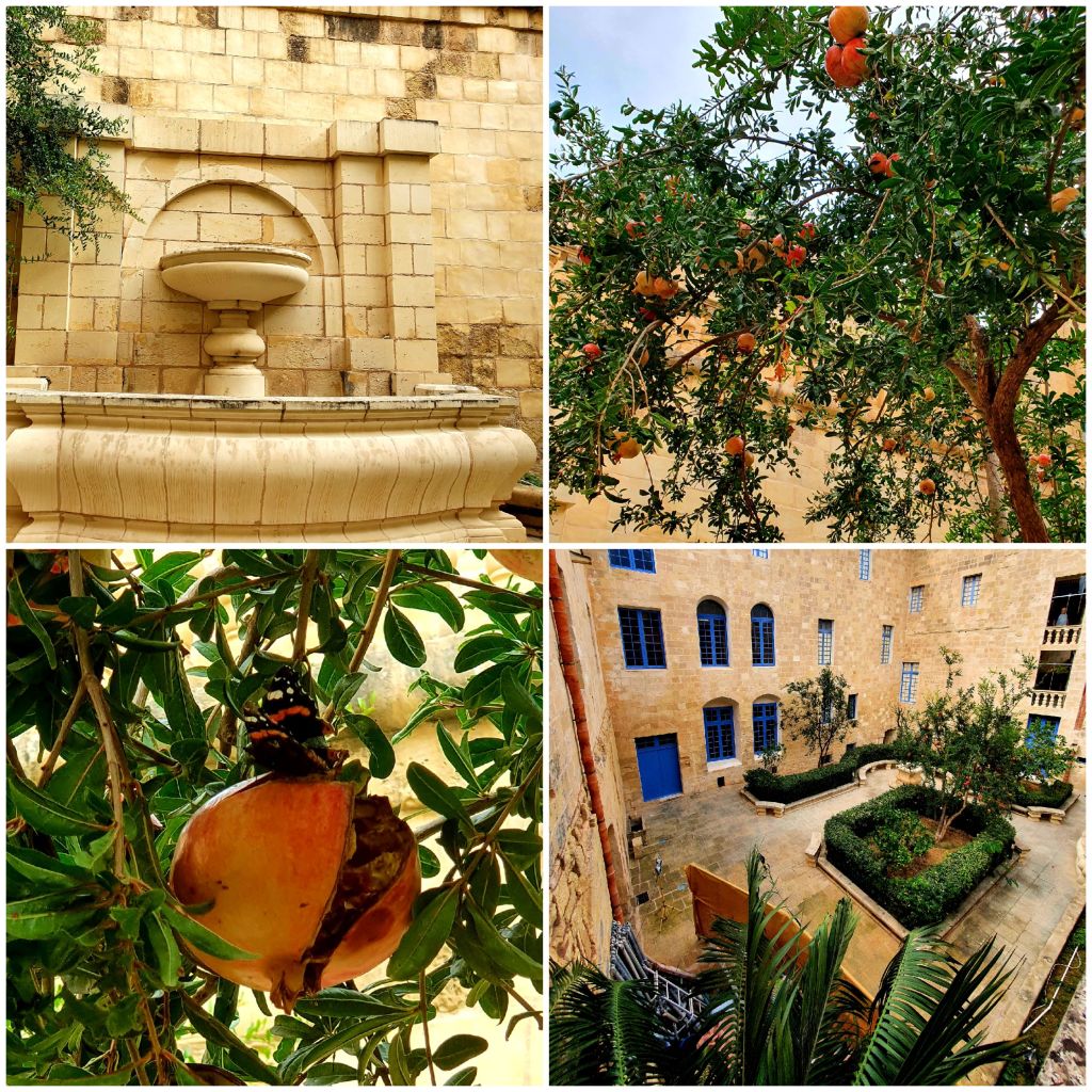
We walked down the main street to the Inquisitors Palace. This is one of the very few surviving palaces of its kind and is also known as the Sacred Palace. It has a long and varied history starting from the 1530s.
On entering the building you find yourself in a beautiful courtyard. There was a pomegranate tree in the courtyard. I tried to get some fruit off it but all the low hanging fruit was rotten and I couldn’t reach the higher branches.
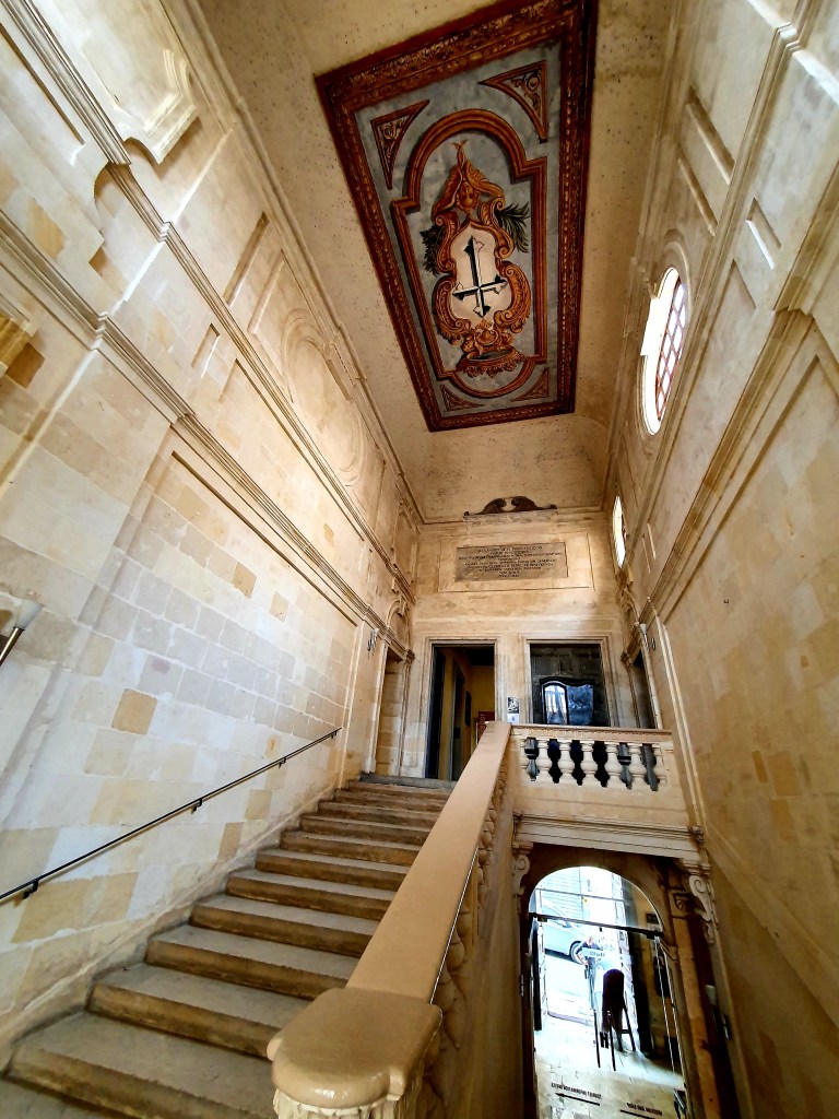
The main staircase is really impressive. It was purposely constructed to present a powerful image of the inquisitors and the place where they lived.
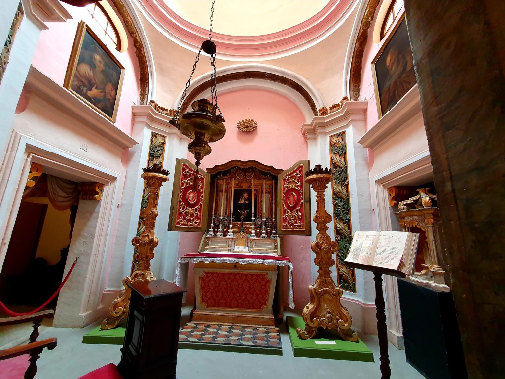
The inquisitor also had his own private chapel.
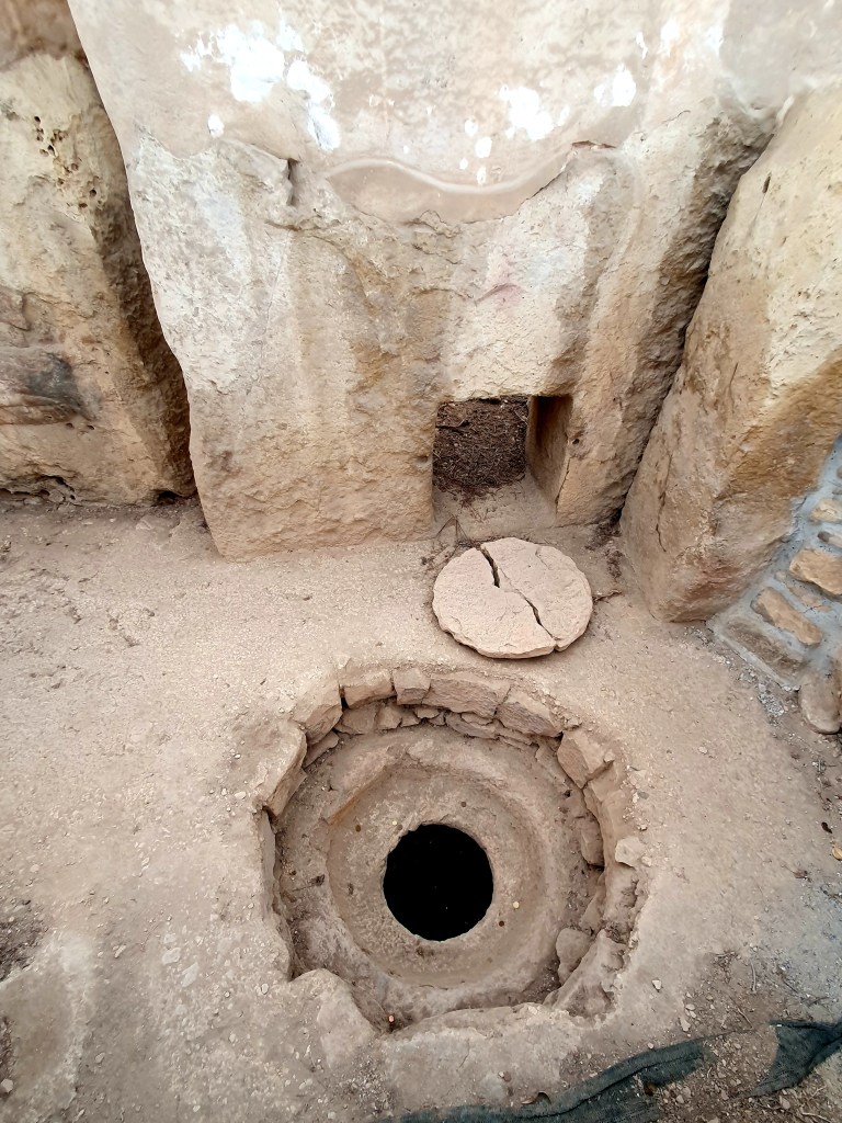
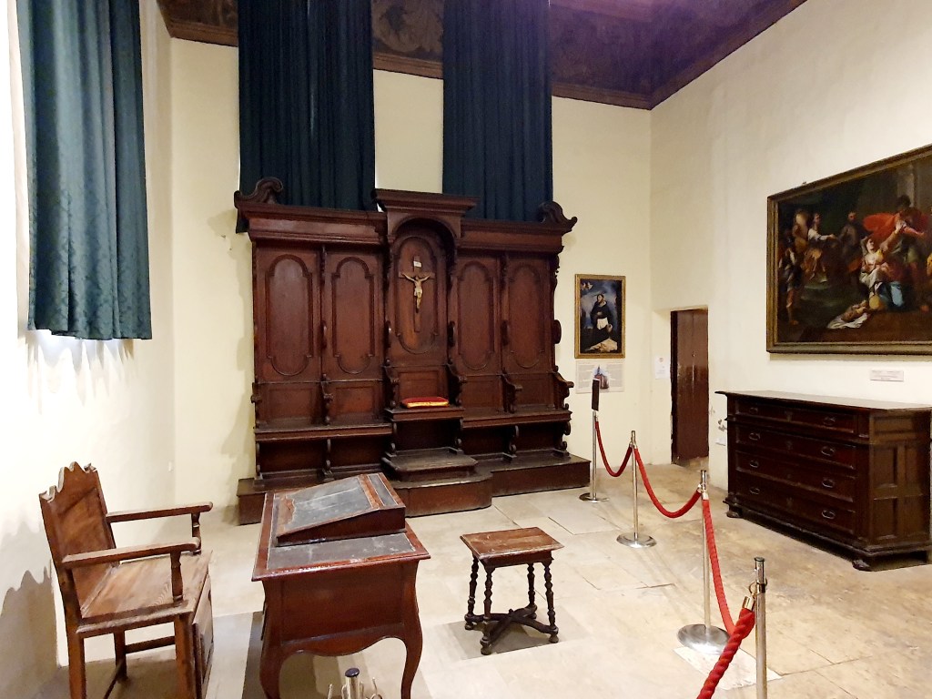
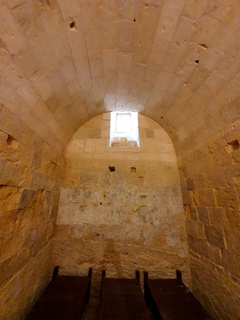
But the most interesting part of the building was obviously the area where prisoners were kept and where the inquisitions were carried out.
The tribunal area was where prisoners or witnesses were bought for trial and where sentences were given.
The prison itself was divided into communal cells, mainly for those awaiting trial, and penitentiary cells for those who had been sentenced to imprisonment. Prison sentences were normally quite short, months and not years, and quite often prisoners escaped.
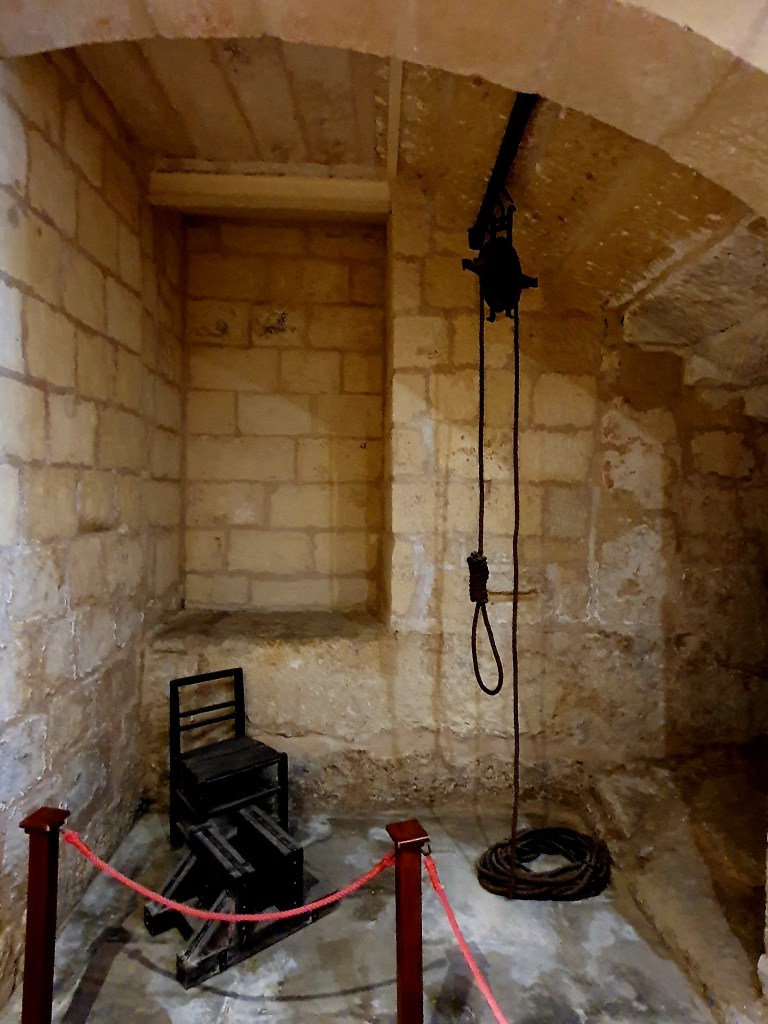
There was also a communal toilet for the prisoners which was basically a massive hole in the ground. It can be seen at the left of the photo below. I can’t imagine how bad that must have smelt.
In terms of torture, there were three main types of torture carried out. The most common one used was that the person would have their hands tied behind their back and then pulled up and let down a number of times. Another method was to squeeze a person’s foot between two blocks of wood, or to stretch the body using weights.
Crimes that could lead to punishment included blasphemy, apostasy to Islam, bigamy, solicitation during confession and magical beliefs. Most sentences were of a spiritual nature and included fasting and prayer. Physical punishments included public flogging or rowing on the galleys.
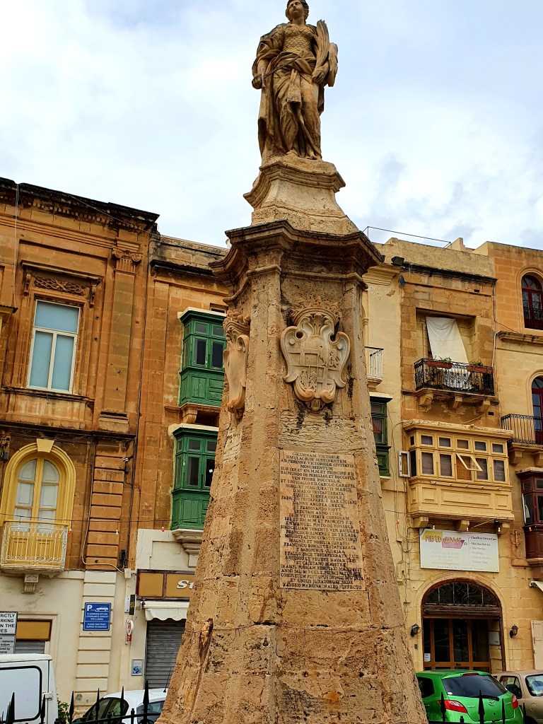
From the Inquisitors Palace we walked down to the waterfront past the Victory Monument in Vittoriosa square. This statue commemorates the Great Seige of 1565.
We also passed St Lawrence Church and the Freedom Memorial. This memorial represents when the British left Malta on 31 March 1979, even though they had gained independence in 1964. The mound the memorial sits on is made from stone that comes from the Dingli Cliffs and shows a British sailor saying farewell to a Maltese worker with a handshake. There is also another Maltese worker and a bugler.
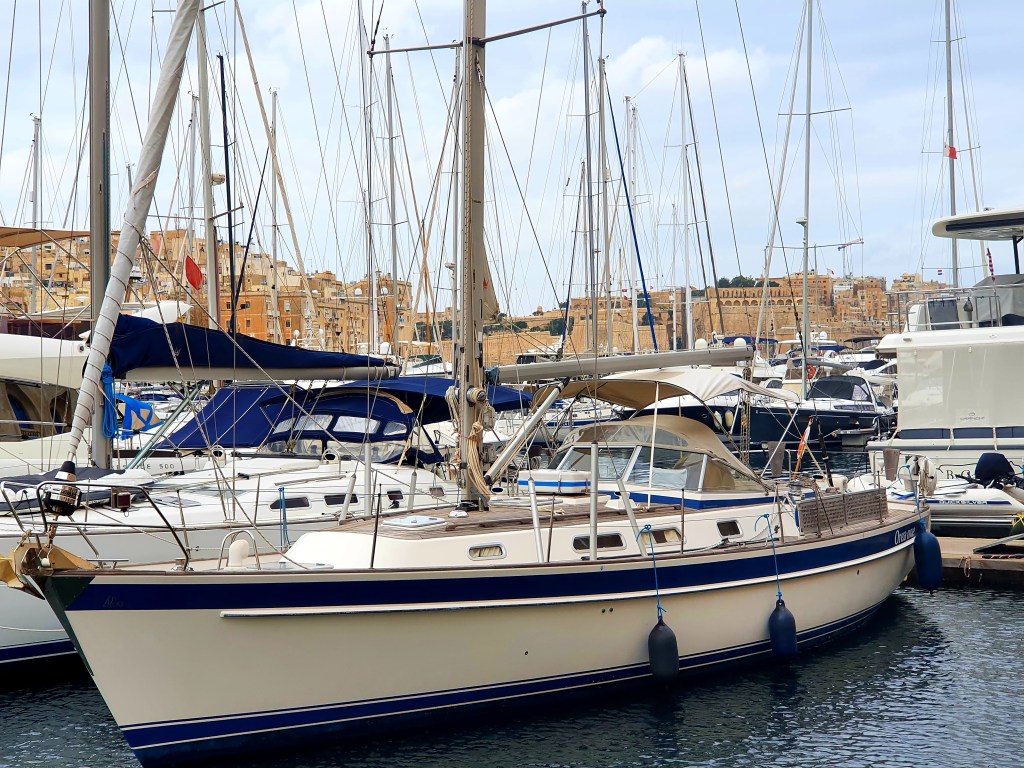
The waterfront at Birgu is really nice, it reminded me a bit of the South of France.
We walked past the Maratime Museum which is housed in the former Royal Navy Bakery and is an impressive building. Apparently its facade was inspired by Windsor Castle.
By now were pretty hungry so we stopped off at one of the waterside cafes to have some pizza and wine. The pizzas were huge so we ended up taking the remains with us in a doggy bag.
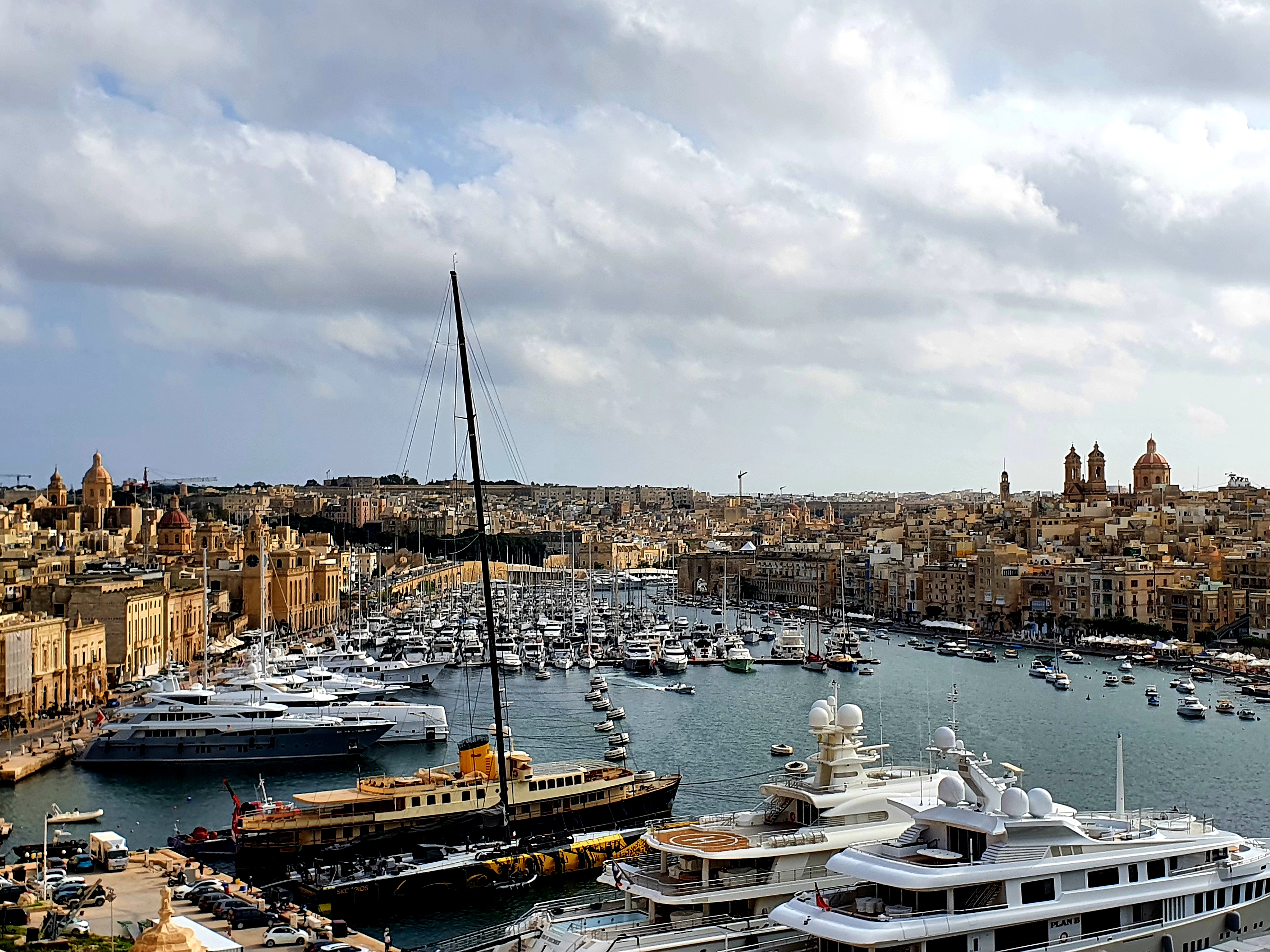
We had a lovely view across to Senglea, you could just about see the top of the basillica dedicated to Our Lady of Victories. The church was destroyed by an air raid during the second world war but was rebuilt in 1956.
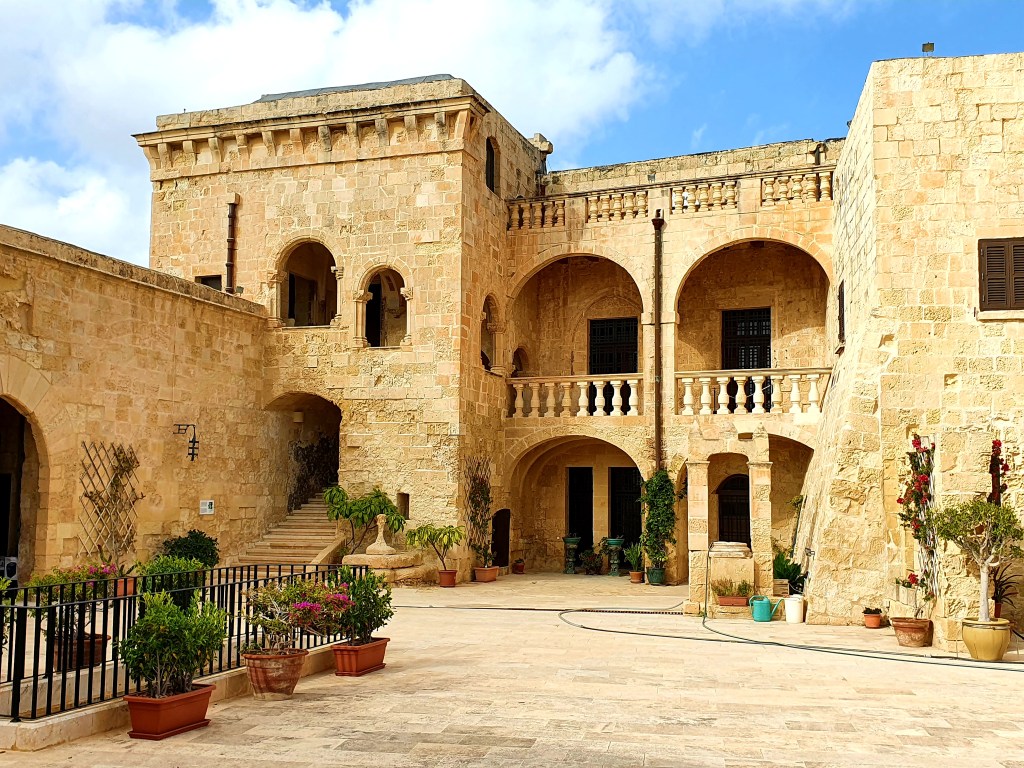
After lunch we walked down to Fort St Angelo which is at the peninsula of the city. The only resident knight on the island lives in this fort and only the upper area of the fort is open to the public.
The vocation of the fort is to guard the Grand Harbour and it has done this successfully over many years and many sieges. It has been used by the French army as their headquarters, followed by the British Army and the British Navy. It has undergone restoration works over the past years and since 2018 it has been open to the public. You get some great views from the upper part of the fort.
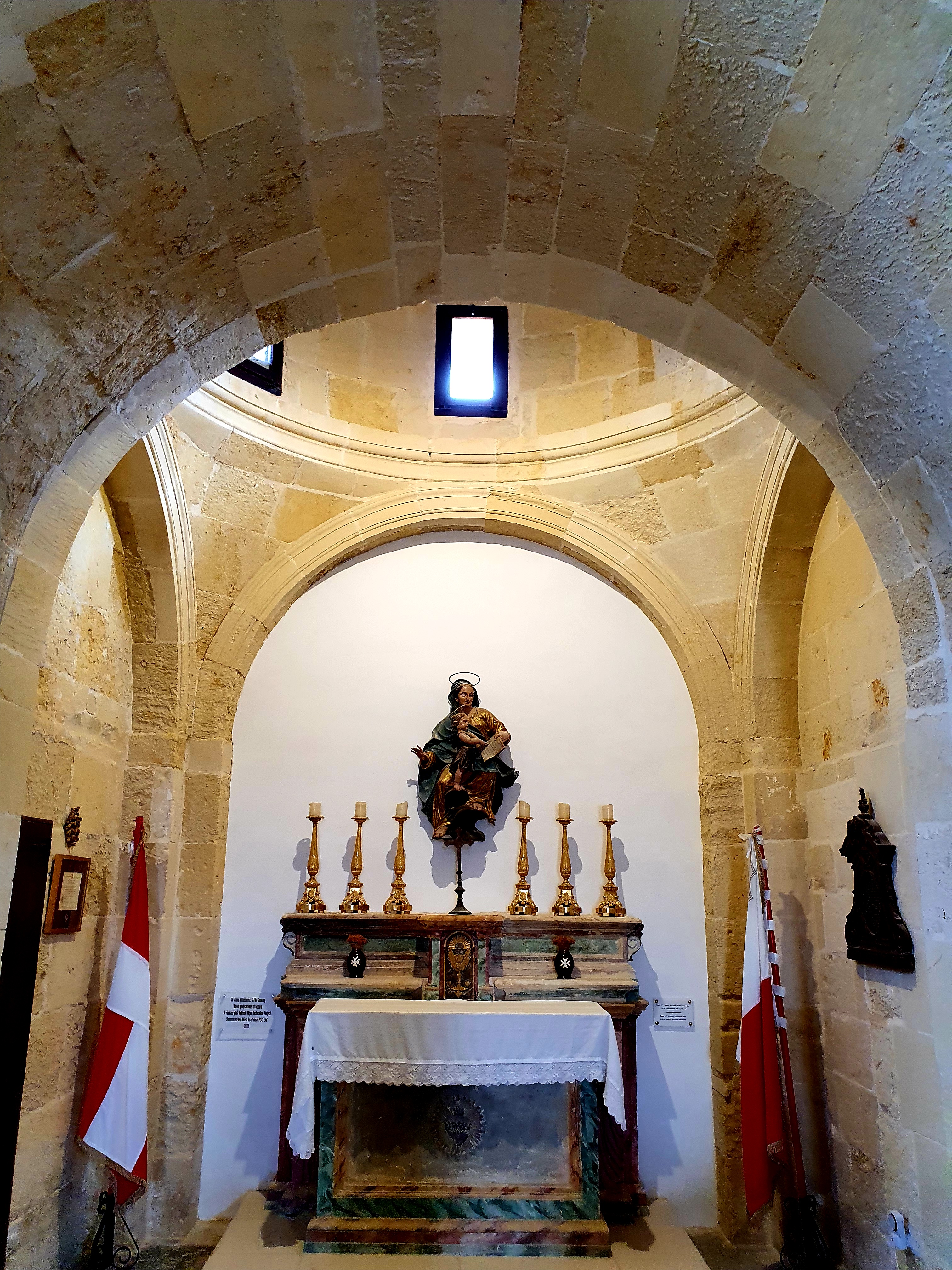
On the upper part of the fort we found the chapel of St Anne, a small chapel that has also been previously used as a store room for arms and ammunition and a school. The chapel also has a crypt and some Grandmasters used to be buried there.
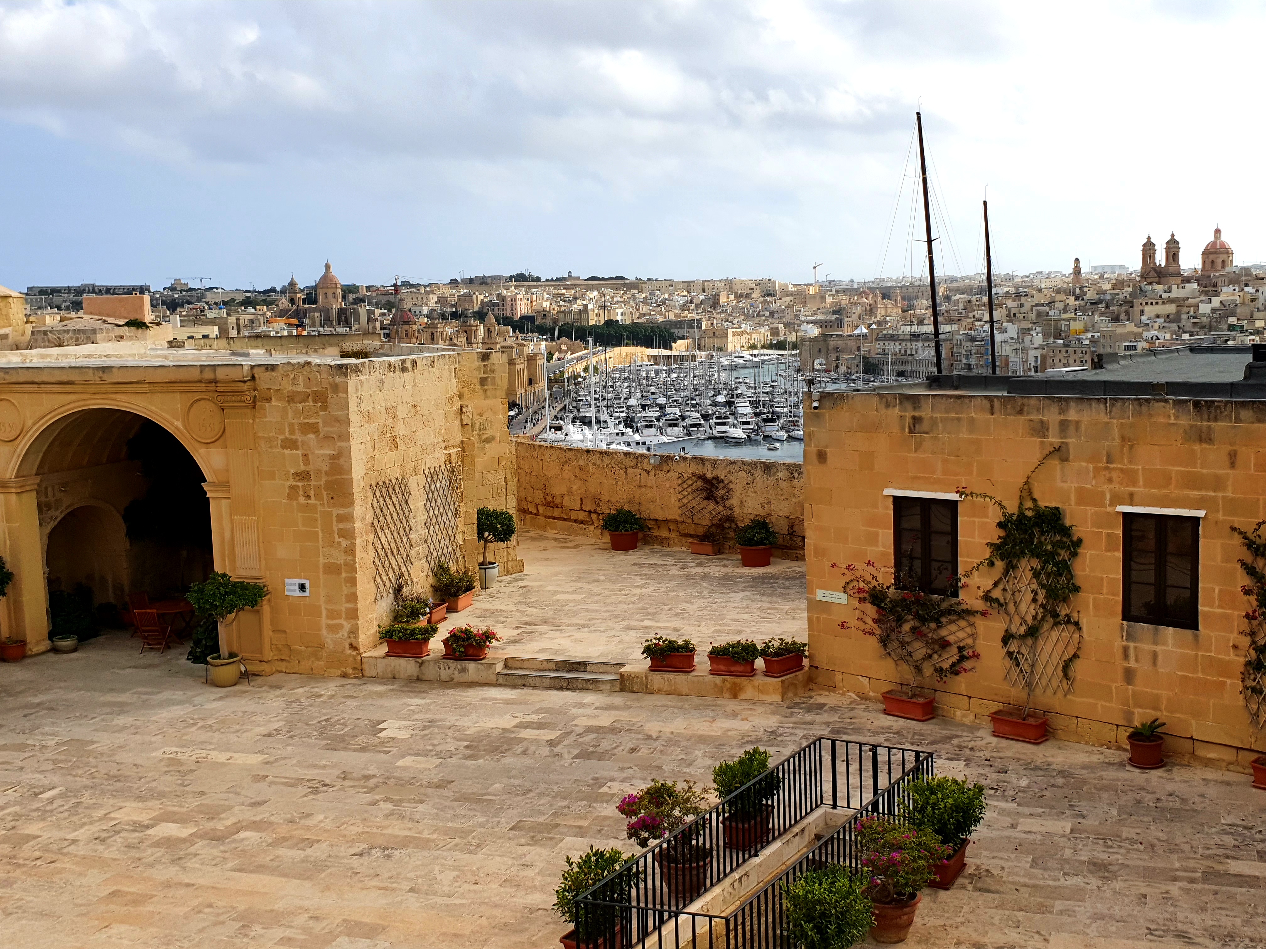
Some more views of, and from the fort.
After looking round the fort we headed back to the church of St Lawrence. We tried getting in via the front door but unfortunately it was shut. However, just as we were walking around the side, someone opened the side door and we went inside.
This church was used as the first conventual church of the Order of St John in Malta. This was because when the Order first settled in Malta all of the langues were based in Birgu. Like many of the churches in Malta, the inside is baroque in style and looks amazing.
We then headed into the older, medieval part of Birgu, known as the collachio, where all the auberges of the knights were first established. Unfortunately both of our phone batteries had died by then so we couldn’t take any photos. But here is a picture of the Auberge de Angleterre, the only English auberge in Malta as when the knights moved from Birgu to Valletta the Reformation put an end to the English role in the order.
For dinner we had leftover pizza and then headed out to the Bridge bar, literally a minute away from our apartment, as they were having a live jazz night. Unfortunately all the steps and tables were full so we sat upstairs at the italian cafe where we could still hear all the music.
It was a very windy evening but we had ordered a bottle of wine so we stayed out until we finished it.
A lot of the steps in Malta are very shallow. We learnt that this was done on purpose to help the knights who were walking up and down them in full armour.