I actually slept really well. I woke up a couple of times in the night as we had a bit of a storm and the thunder was really loud and the lightening was quite bright. When I woke up properly and took my earplugs out it was fantastic to hear all the jungle noises.
It was still raining when I got up but not too bad, so I went and had a cold shower. When I got back and changed there were people standing outside my room as this little guy had decided to pay us a visit. The steps in the photo literally are just by the room I was in.
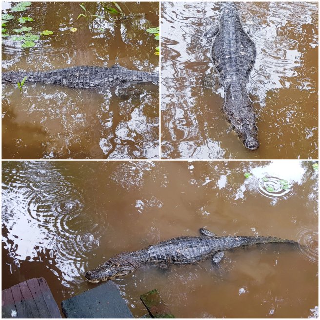
And after eating breakfast another crocodile came to visit.
I think it’s the closest I’ve ever been to a wild crocodile.
After breakfast we packed our day bags and put on long sleeves, trousers and wellies as we were off to find some Anacondas. These large snakes are often found in the swampy, mosquito infested areas of the pampas.
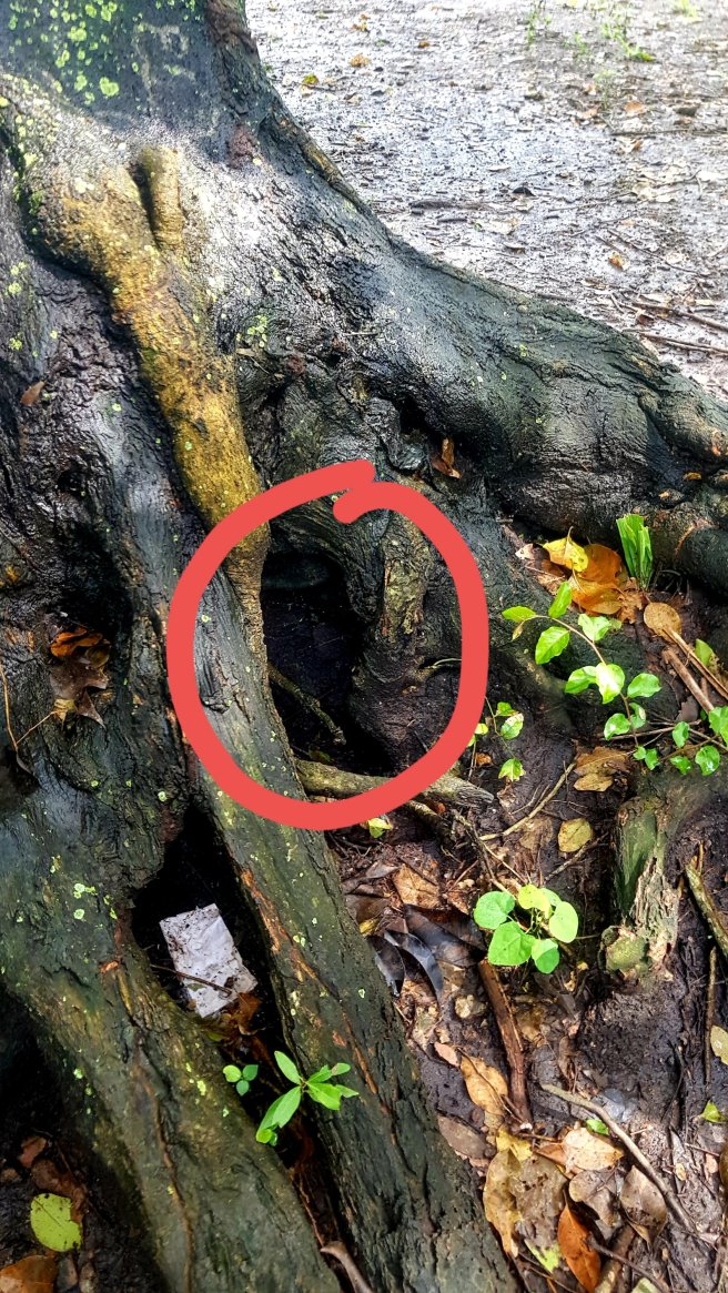
Again out guide proved invaluable as minutes after stepping into the swampy area he found an Anaconda in the hole of the tree. If you shone a torchlight down the hole you could see the light reflect off the snake’s skin. From the size of the scales Choco thought the snake was around two and a half meters long. This is where the Anaconda was:
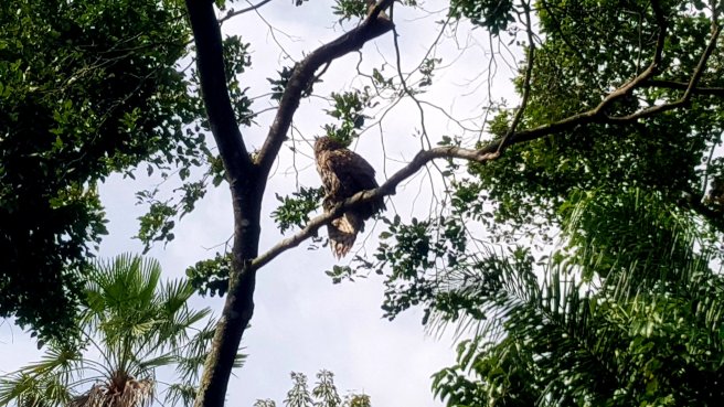
As we wandered around the swamp we saw an owl, I think it’s some kind of screech owl.
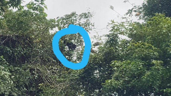
After a few more minutes Choco found another Anaconda hiding in a log. By this time another tour group had arrived so both the guides tried to tempt the snake out of the log, but he wasn’t going to come out.

So we shined the flashlights in the hole and could see the blue, grey colour of snake skin. They estimated the Anaconda was one and a half meters long.

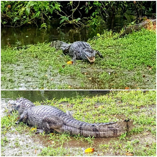
We decided it was time to move on and on the way back to the lodge we saw another Caiman hiding under a different lodge. Choco decided to stroke him.
We also saw a black howler monkey. He seemed to be on his own without any females.
After a delicious and filling lunch we had time to chill a bit so we laid in the hammocks and read.
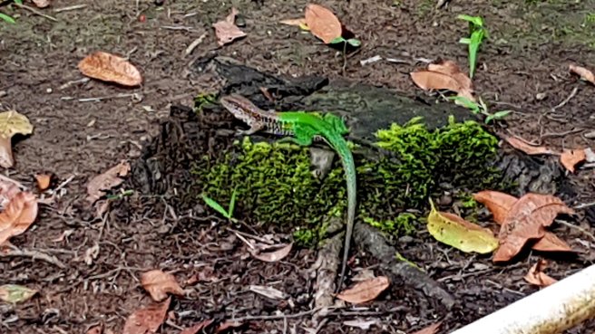
Before setting off again we saw a beautiful green lizard.
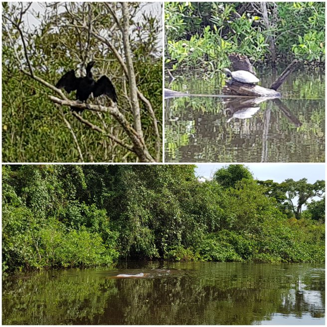
Then it was off to go piranha fishing. First we meandered through the pampas- it’s so lovely in the boat when the sun is shining but there’s also a cool breeze. We saw a cormoran drying it’s wings after the rain, more turtles and also several pink dolphins. These river dolphins are quite shy and you only see them briefly when they come up to breathe.
We also saw another sloth. Believe me there was a sloth in the tree as we saw it move!

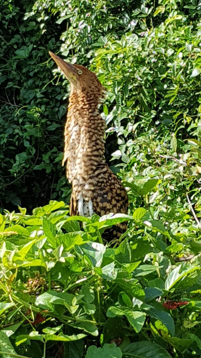
We then got really close to two baby tiger herons by the side of the river. They were not pleased to see us and hissed at us a little bit.
We eventually found a good spot for fishing. At this first spot I didn’t catch anything but Choco caught a couple and both Ditte and Heinrick caught a small piranha each.
We then moved onto a second spot and I managed to catch a slightly larger piranha. As I tried to unhook it from the fishing line it bit me – it has very sharp teeth. Choco took it and killed it. I caught two more after this but they were too small so they went back in the water. One of them had the hook in its stomach so that wasn’t very pleasant.
We used meat as bait and old style fishing lines. It was quite exciting but I did feel sorry for the fish.
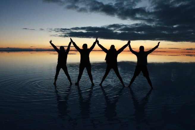
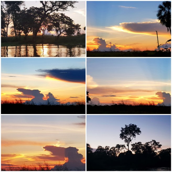
We then headed out to another part of the sunset bar to watch the sun go down. Again, a very beautiful sunset.
For dinner we had our small piranhas. Luckily they had also cooked other food as they would not have been enough to feed us all. They were quite tasty though.
Again, during the day we saw a lot of other birds and animals that I couldn’t capture on my phone. These included a green kingfisher, blue and yellow macaws, large bellied tern, yellow robed casique, wood rail and aninga.
It was another early night and tomorrow I hope to be swimming with dolphins. Although I know there are piranhas and crocodiles in the water too- but I’m sure it’ll be fine!
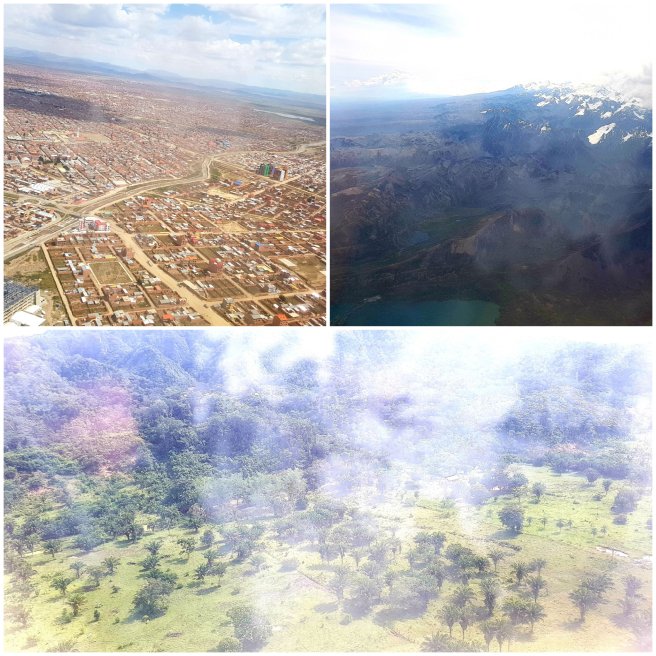 There is also a huge drop in altitude, which is great as it means I can walk around without feeling out of breath and a lovely rise in temperature, it’s about 30 degrees in Rurrenabaque.The plane we flew with was quite small and only half full and the airport at Rurre is tiny.
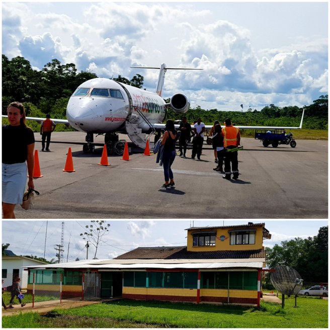 I met a couple from Denmark on the plane, Ditte and Heinrick, and they decided to book the same tour as me into the pampas and the jungle. So we all went to Max Adventure to get a low down of the tour and to pay for it – it sounds fantastic.After that I checked into my hotel which is quite luxurious compared to the hostels, and luckily my room has air con. The pool looks lovely but I haven’t tried it out yet and they have a couple of parrots in the garden. They’re quite noisy but I’m hoping they’ll sleep in the evening.
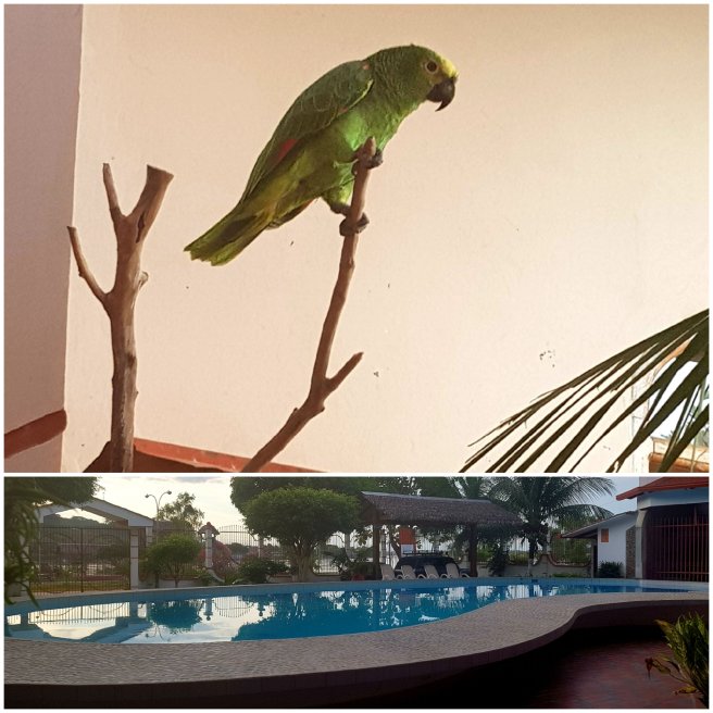 I then had a little stroll around the town, it looks really nice, and watched the sun go down over the river Beni.
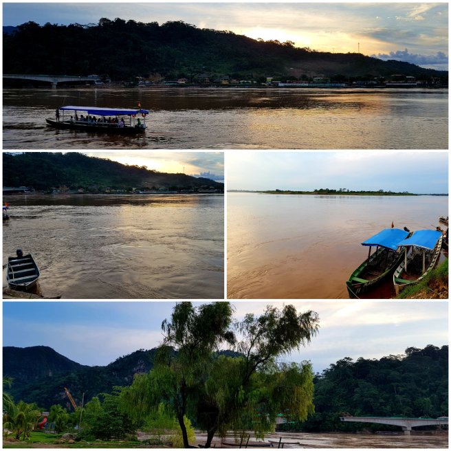 This is the view from my balcony, it’s all very pretty. I saw a couple of bats fly past too.
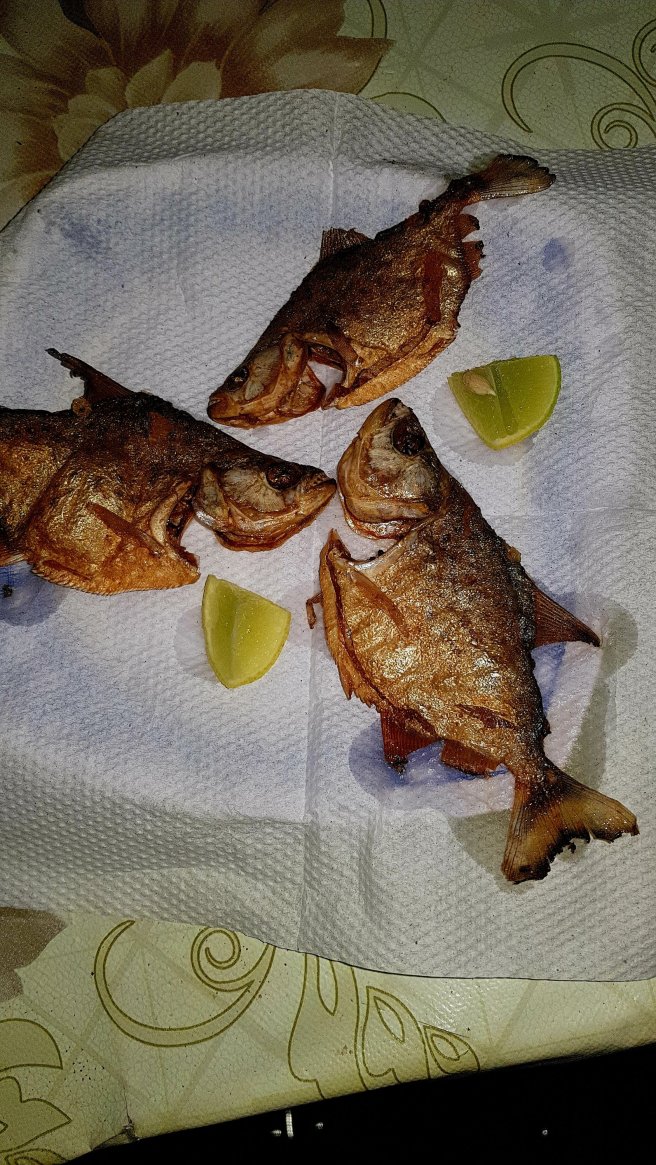
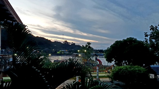 In the evening I wandered back down the river and stopped at a small restaurant, La Cabaña, for some fish. The dish was enormous – a whole huge grilled fish, the normal helping of double carbs (chips and rice) and some salad. I couldn’t manage it all. As I was eating a little girl came up to me and we had a brief conversation about cats and dogs.This was the view of the river on the way home.
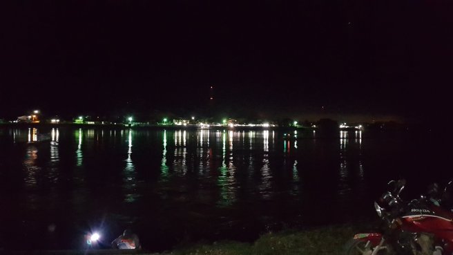 Tomorrow I’m off into the Pampas for 3 days followed by 3 days in the jungle. I won’t have Wi-Fi during this time but I’ll be in touch as soon as I can.