Day 4 – Ba Be to Khuoi Khan

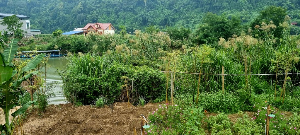
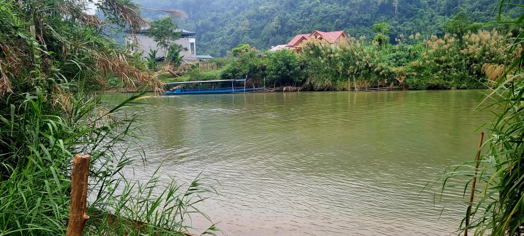
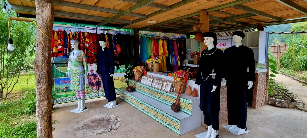
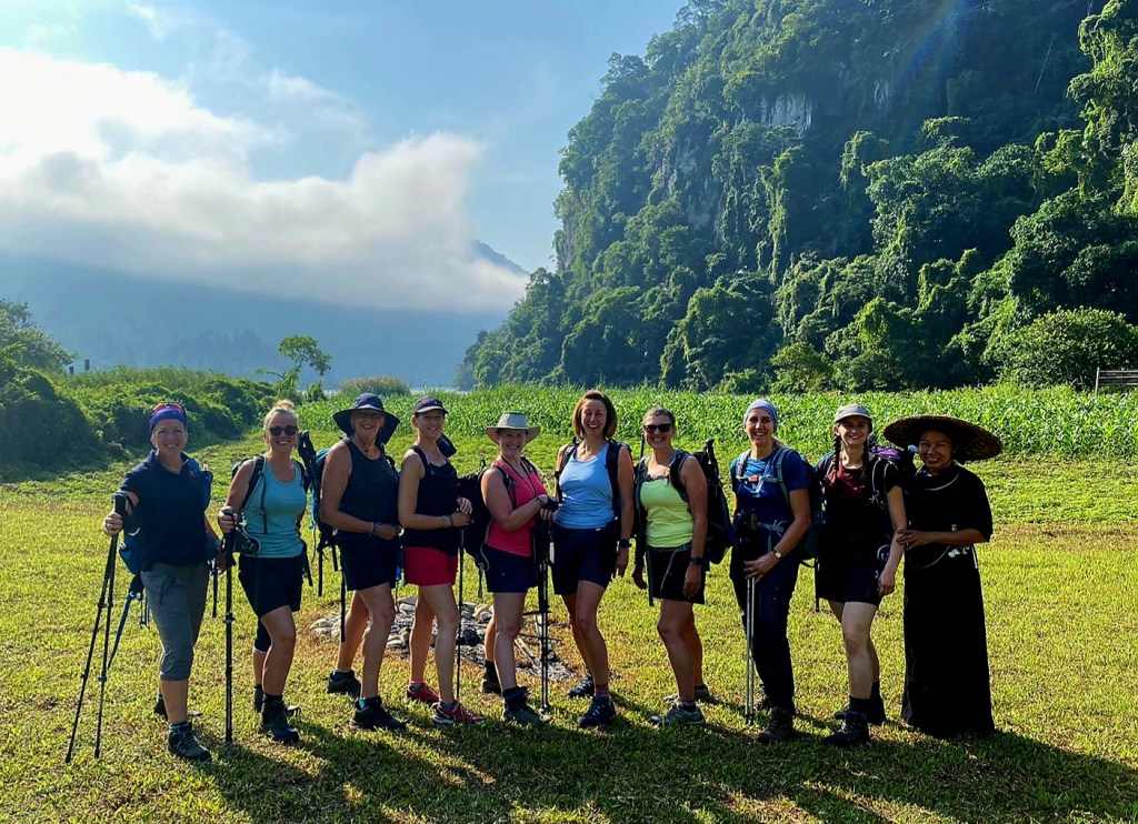
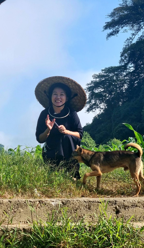
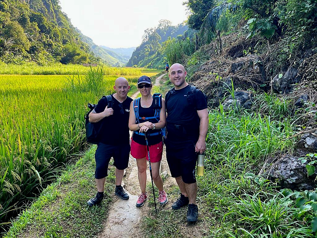
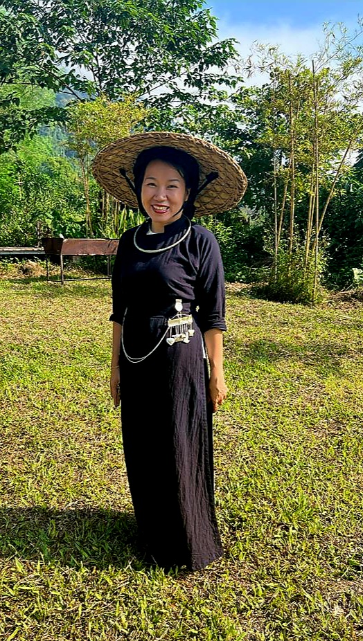
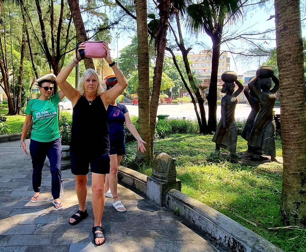
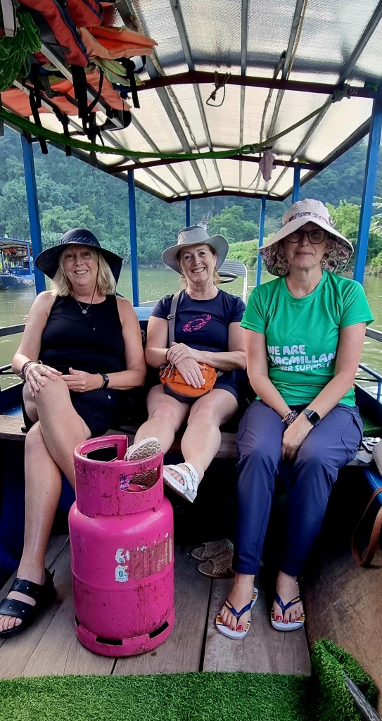
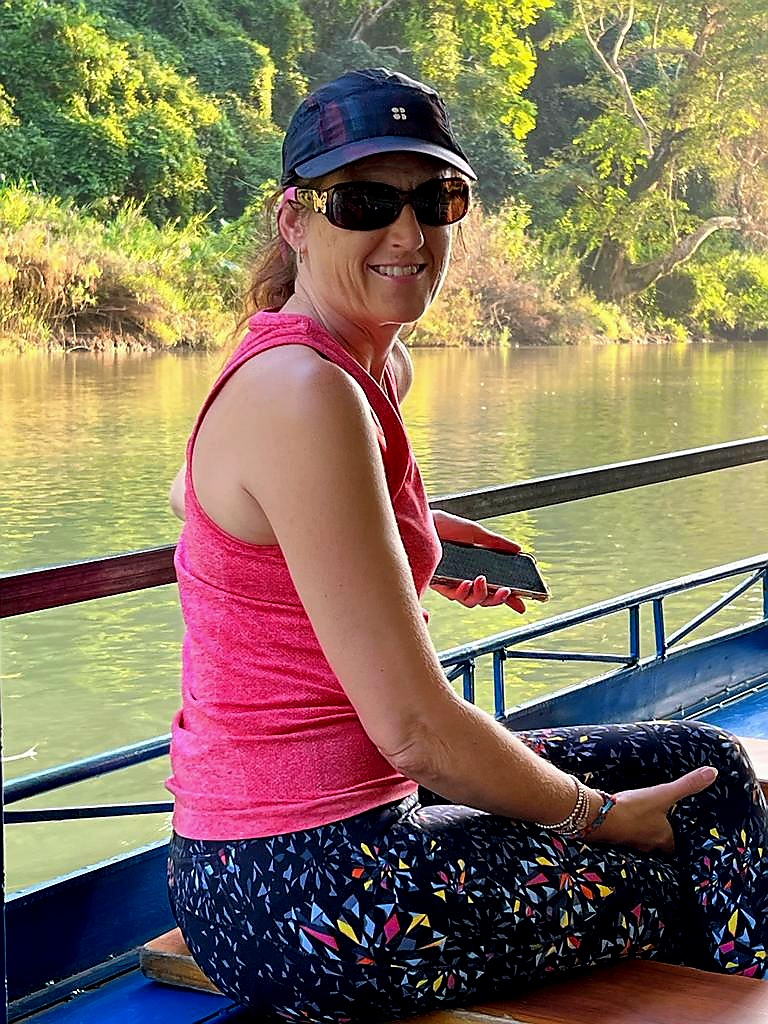
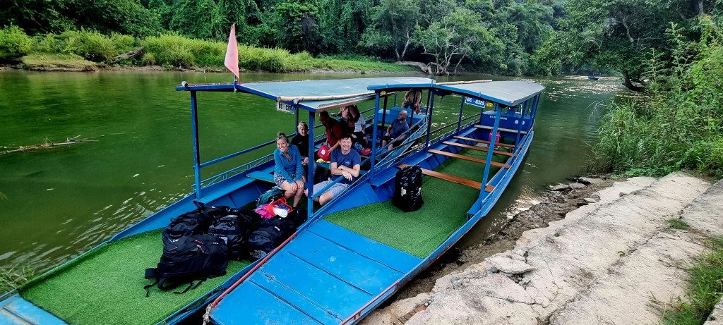
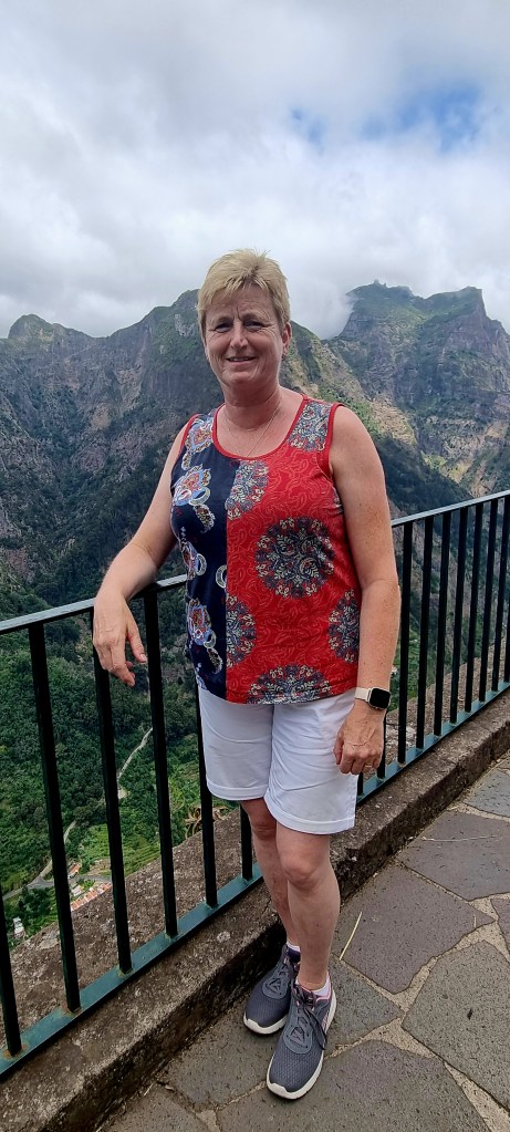
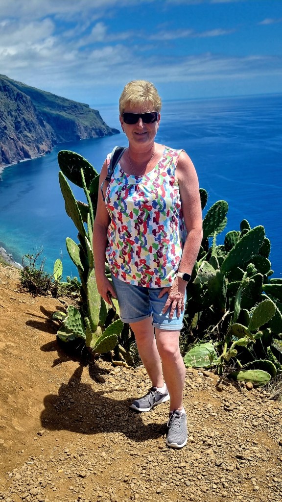
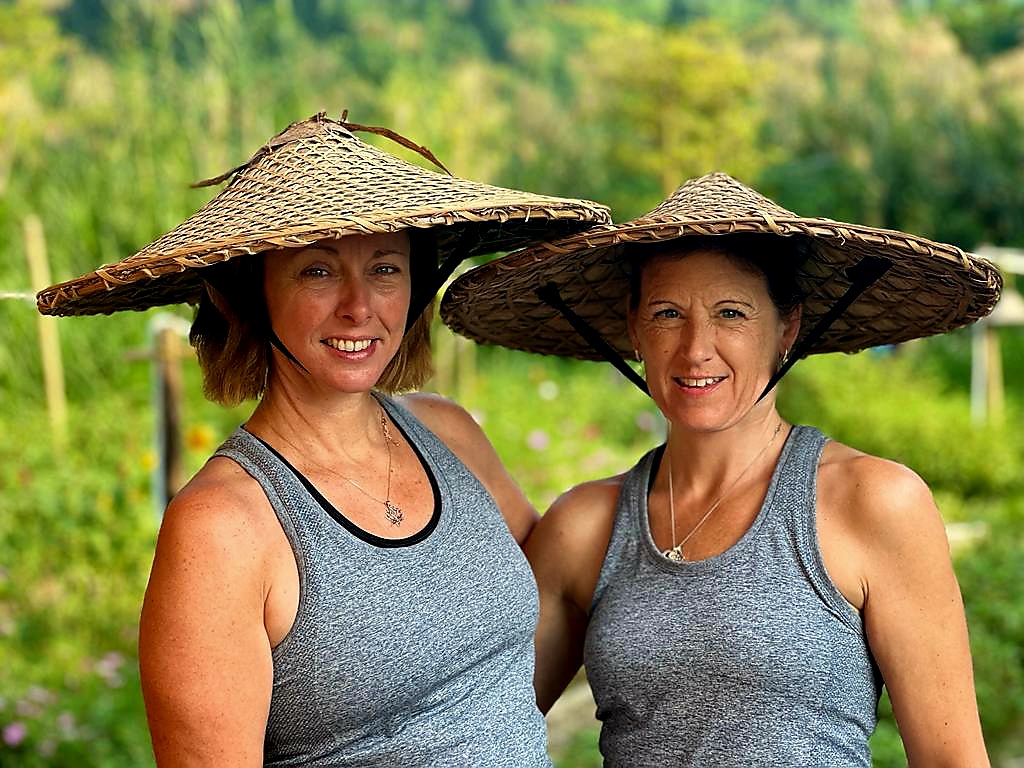
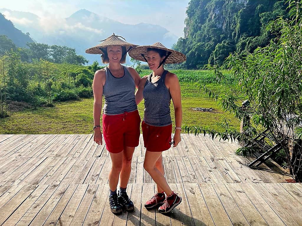
We were all up pretty early again, even though breakfast wasn’t ready until 730am. Before leaving the retreat in the boats, we tried on some of the Vietnamese attire – the hats were really quite heavy. Mandy and I also ended up wearing the same top and shorts – both from Sweaty Betty!

We said our farewells to our lovely host family before setting off.

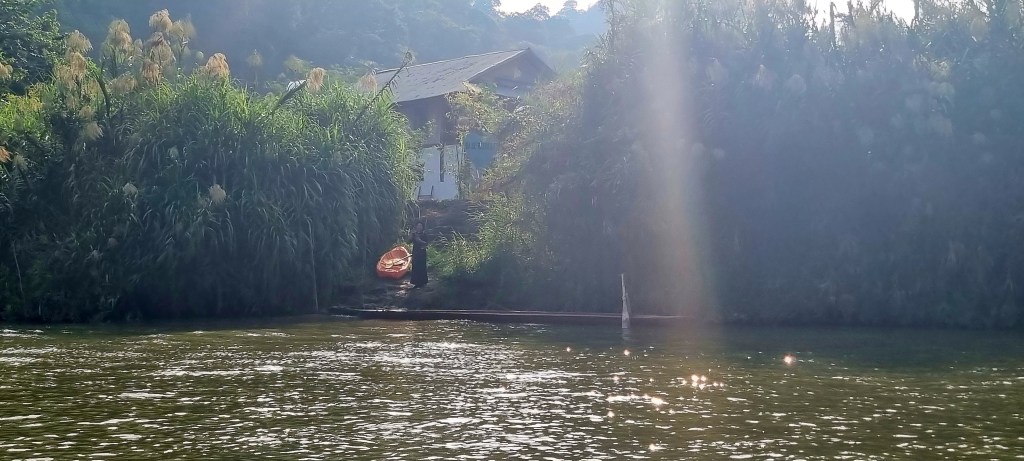
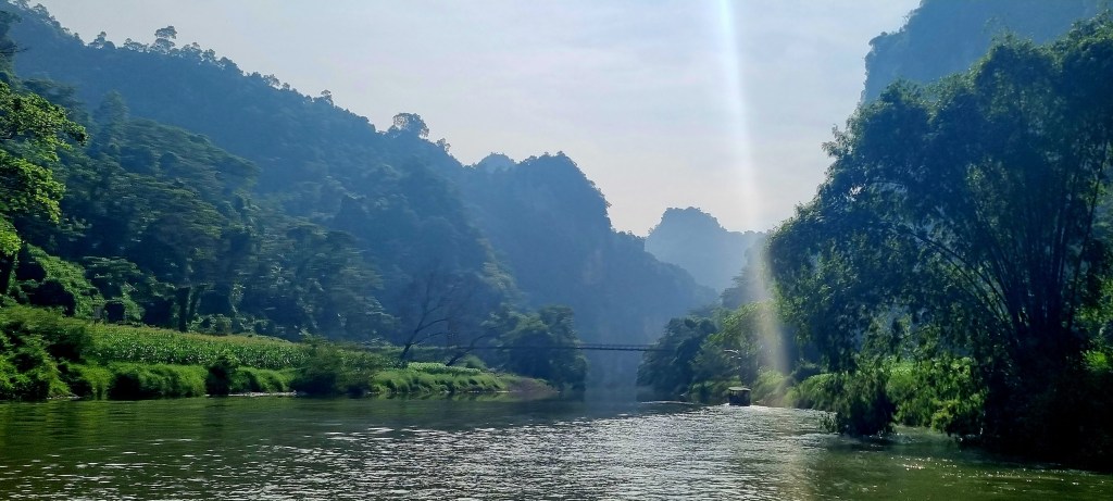
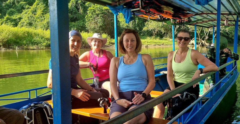
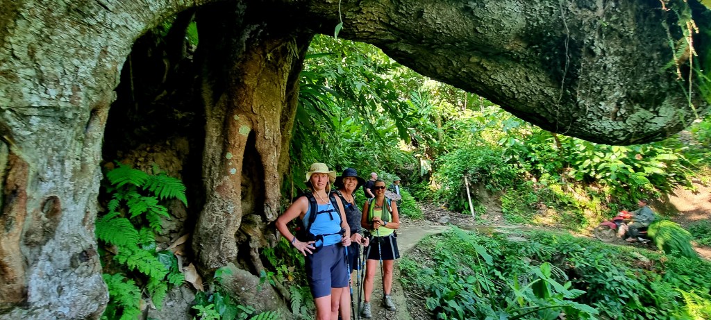
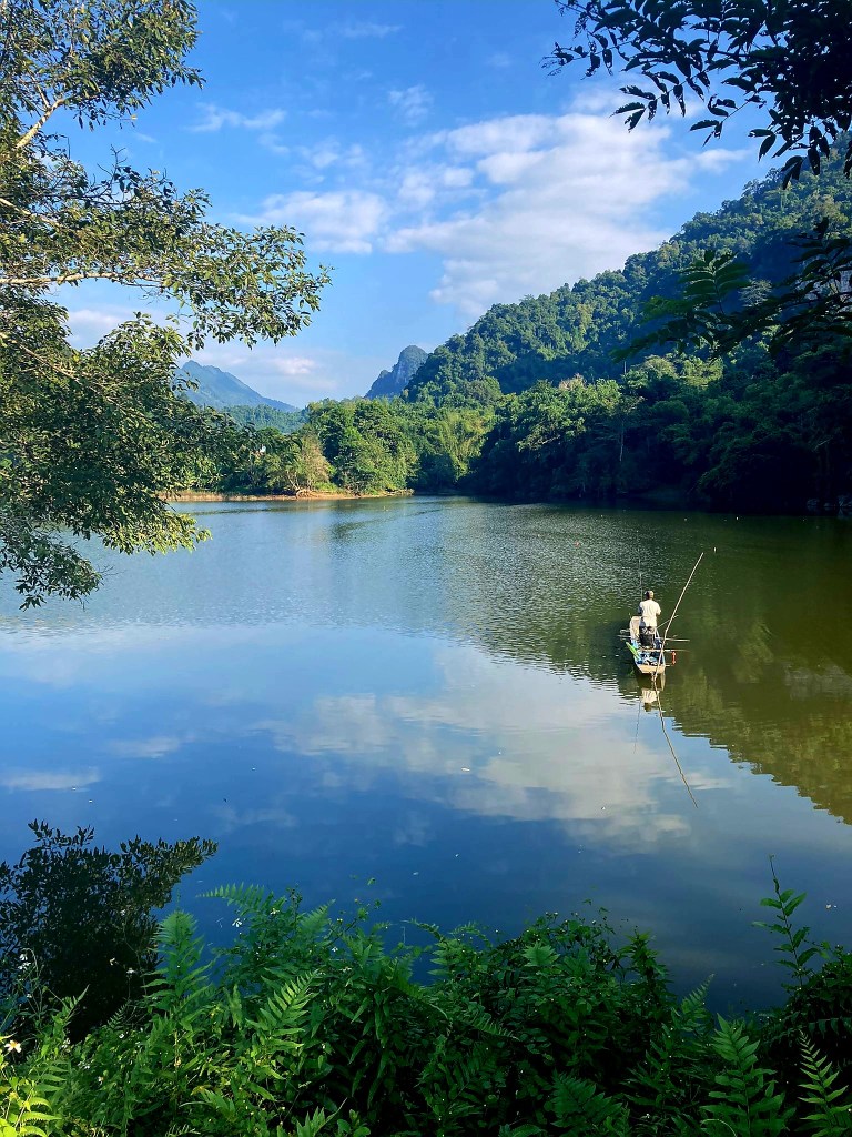
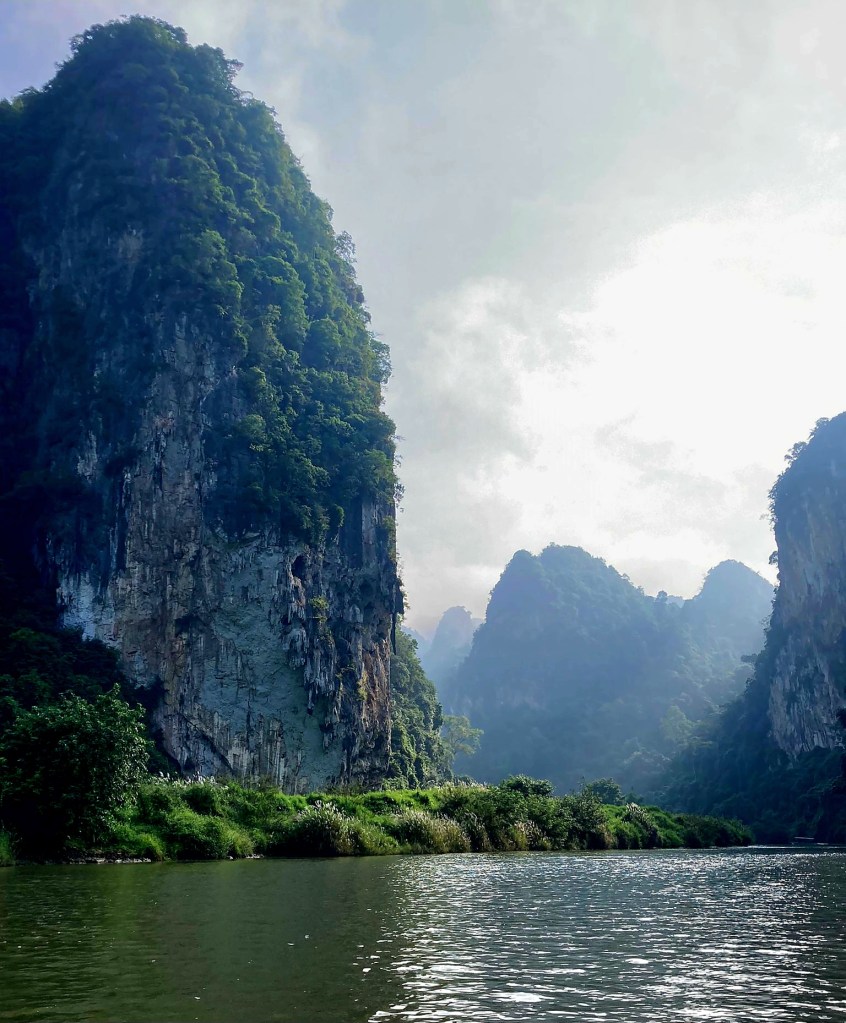
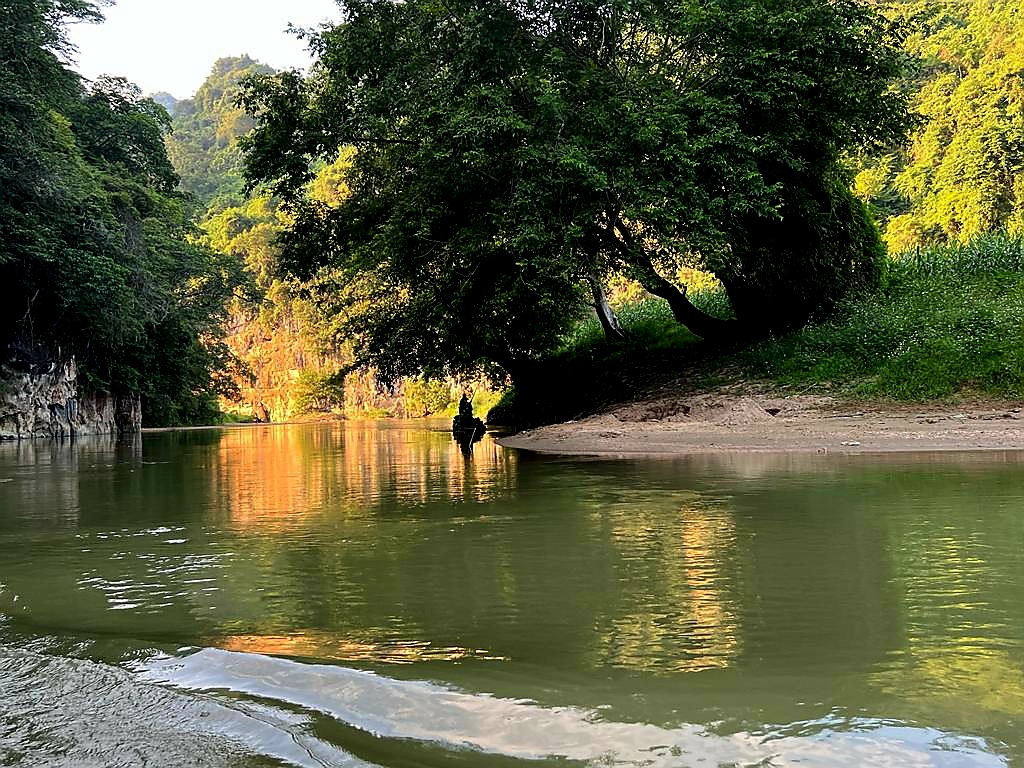
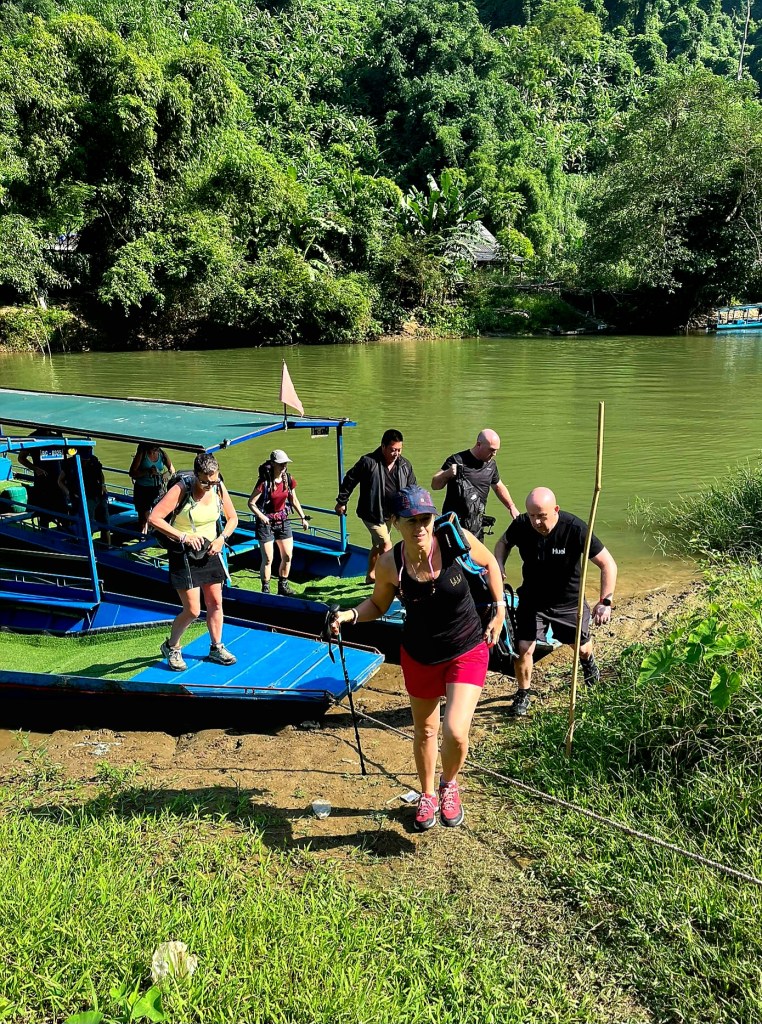
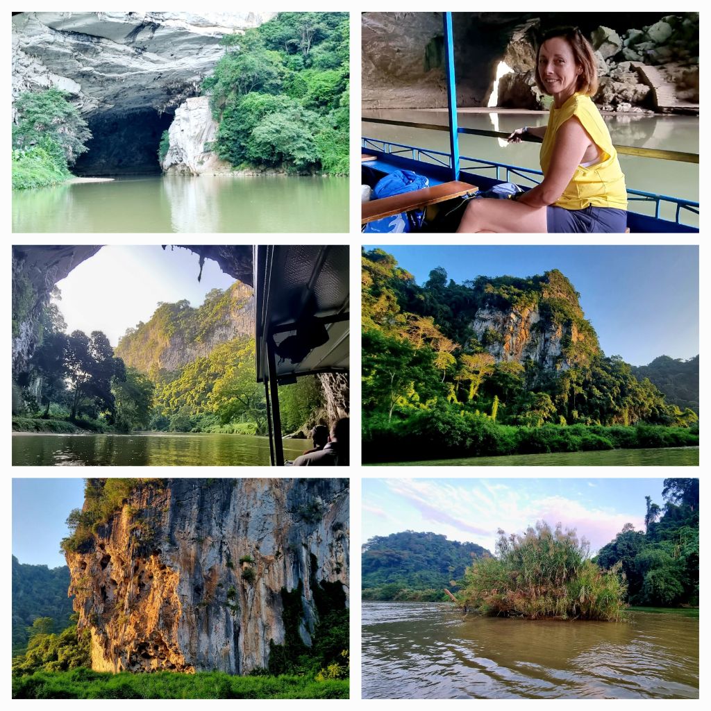
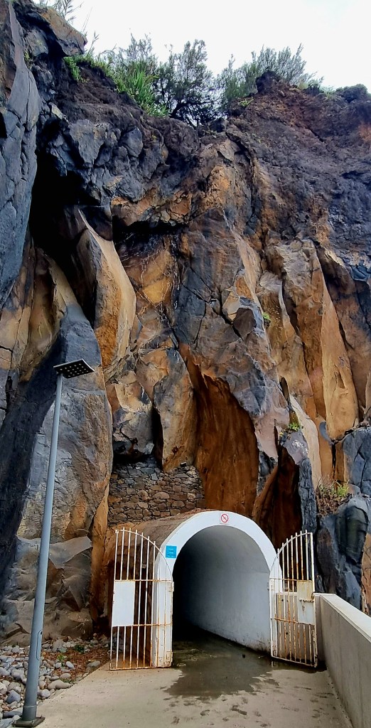
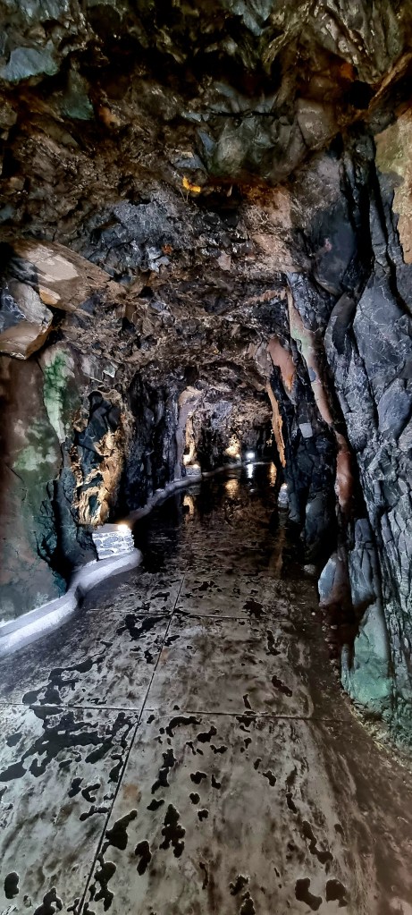
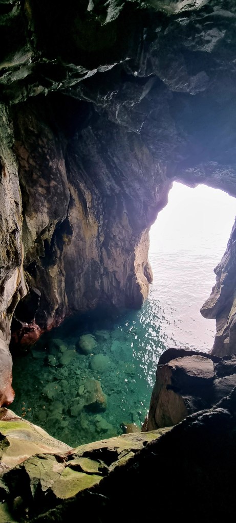
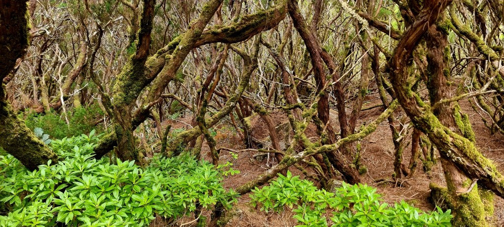
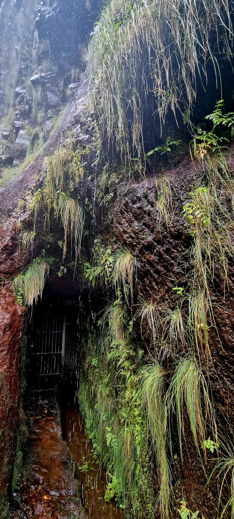
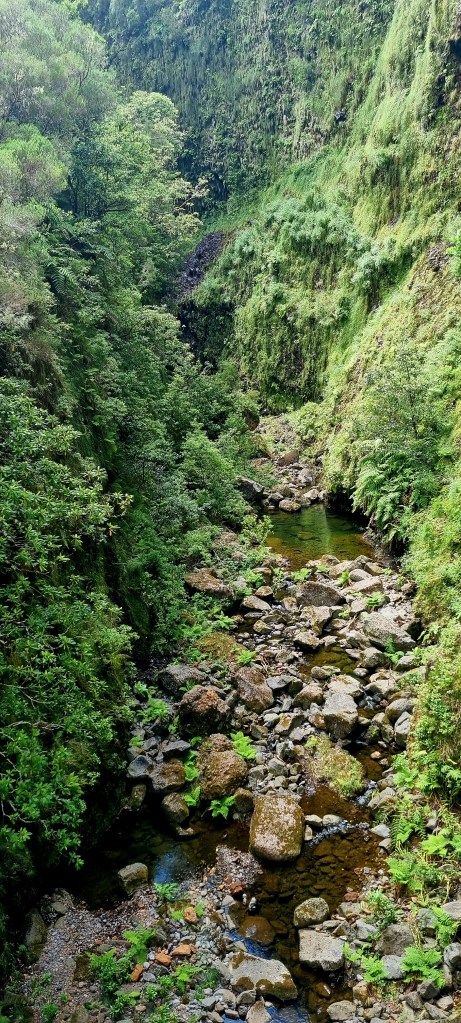
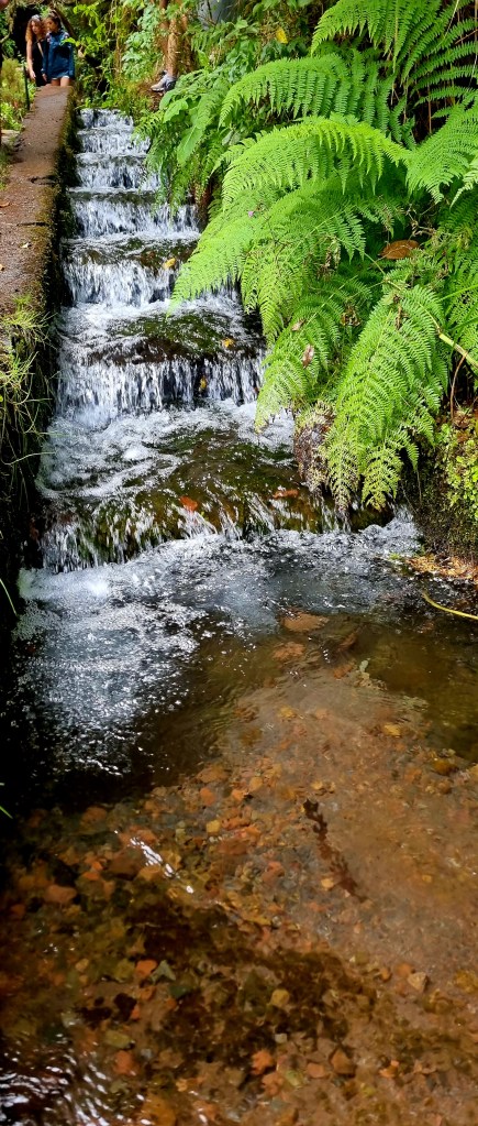
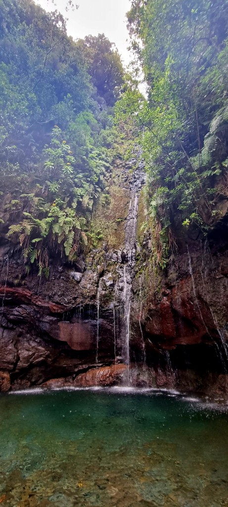
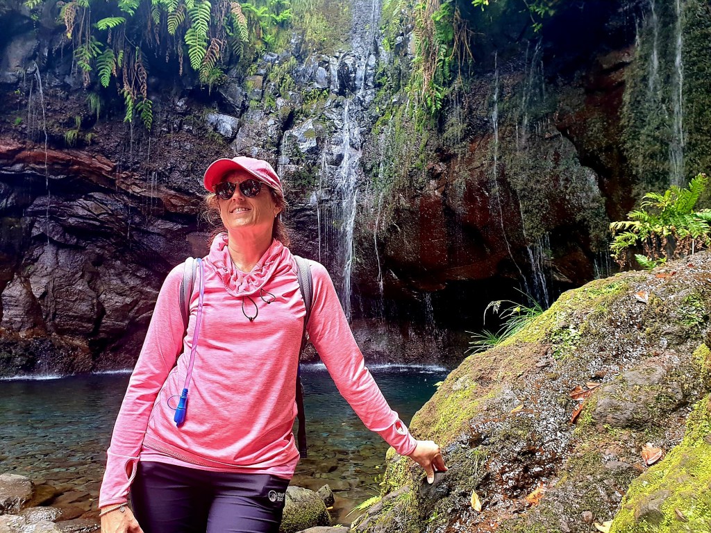
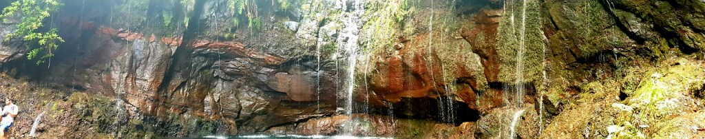
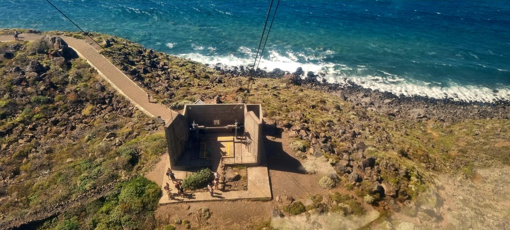
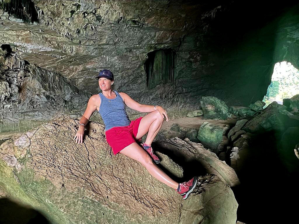
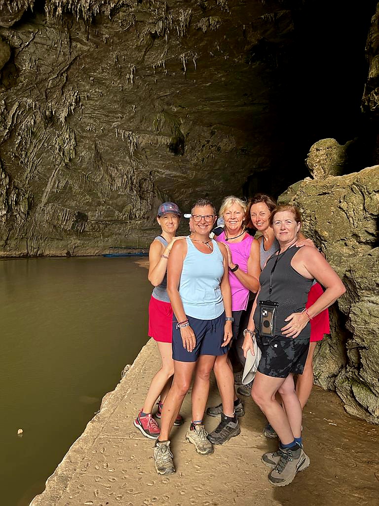
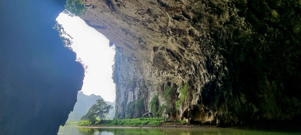
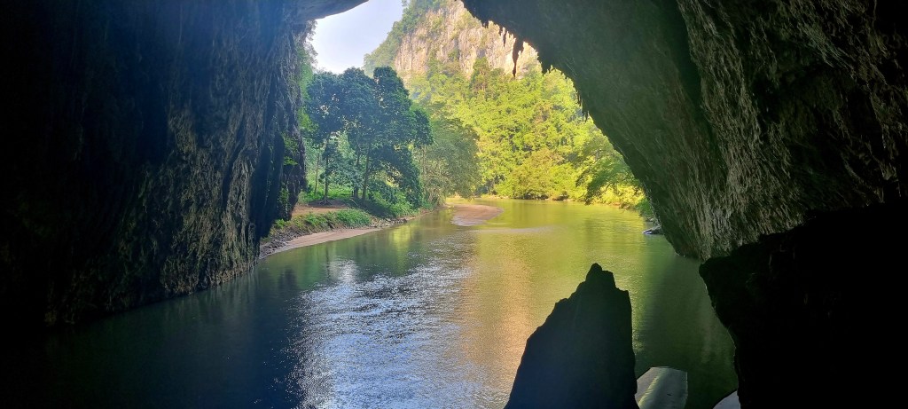
On the way back to the bus, we stopped off at Puong Cave. This cave is 300m long and over 30m high. It was formed when the Nang river ran through the limestine mountains.

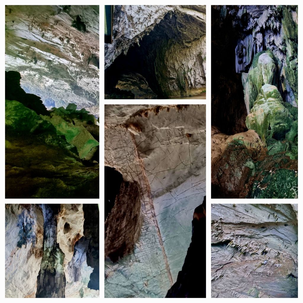
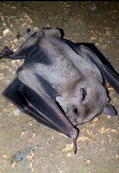
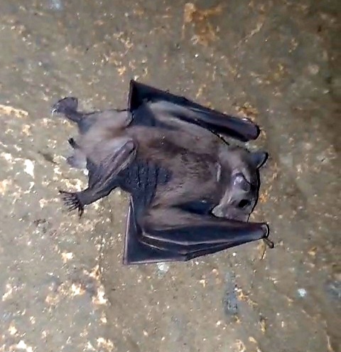
There are lots of beautiful stalacmites and stalactites within the cave. But the main attraction is the bats, there are tens of thousands of them and they are very noisy. One of them was lying on a rock and looked quite dazed, but after a couple of minutes, he flew off.

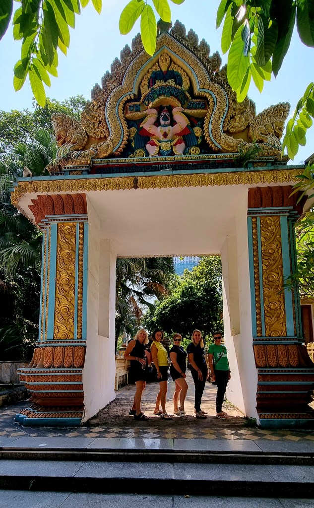
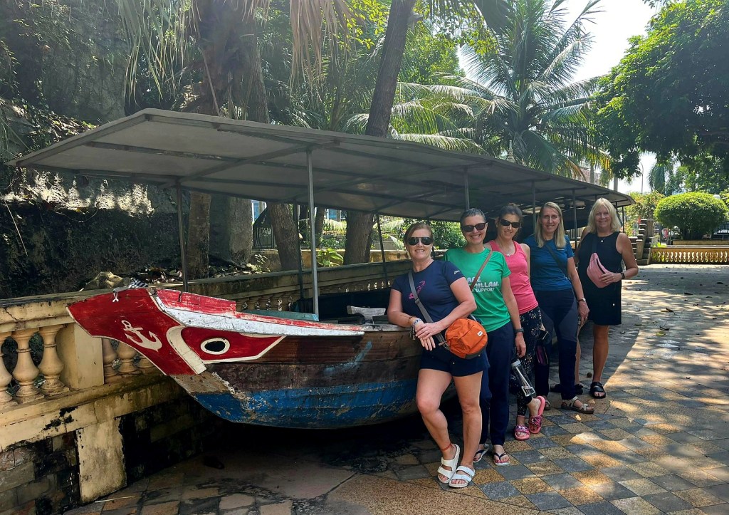
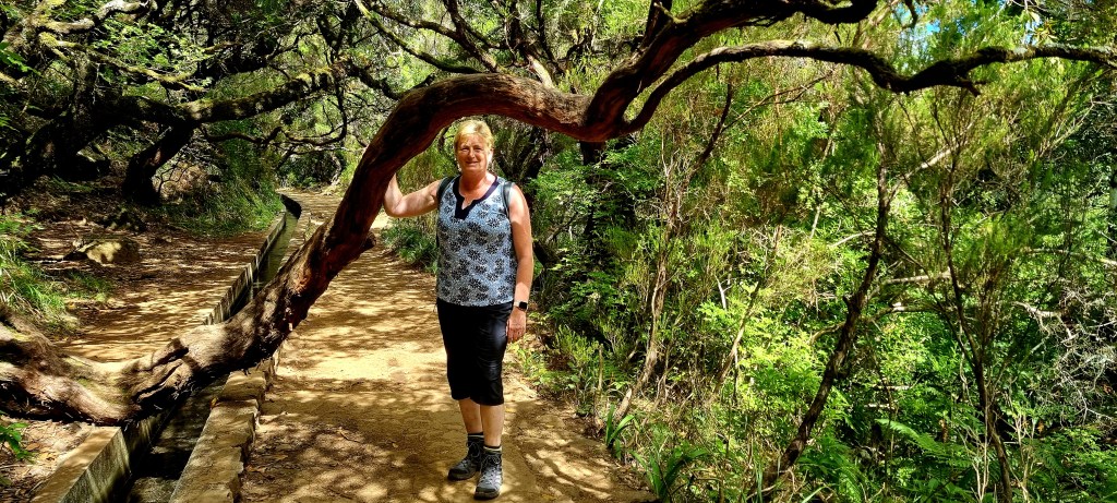
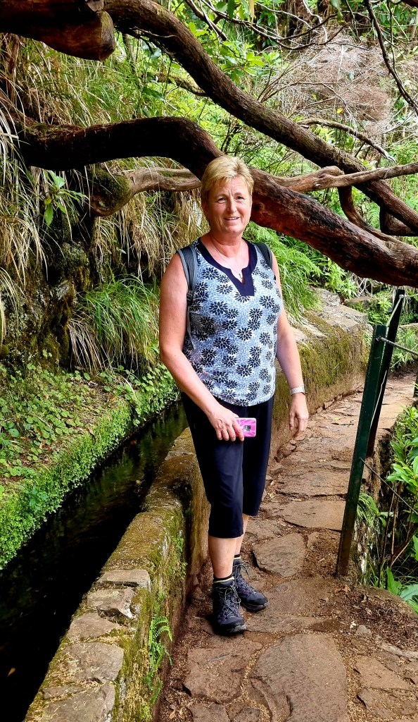
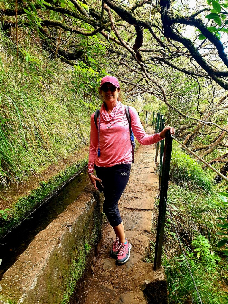
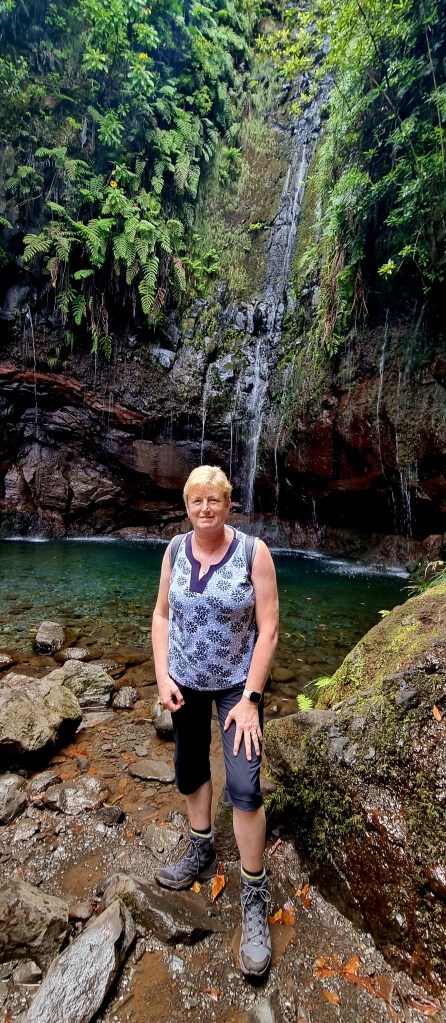
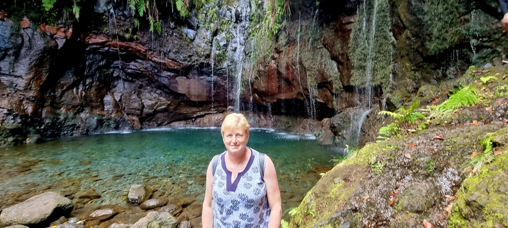
We obviously took some posey photos in the cave, too.

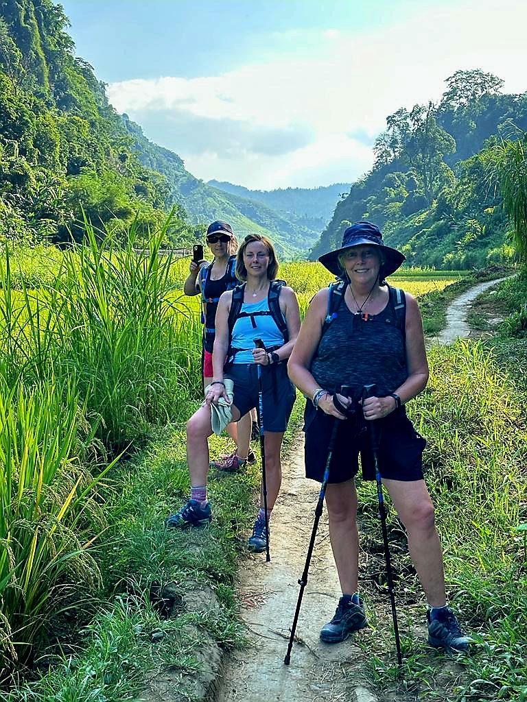
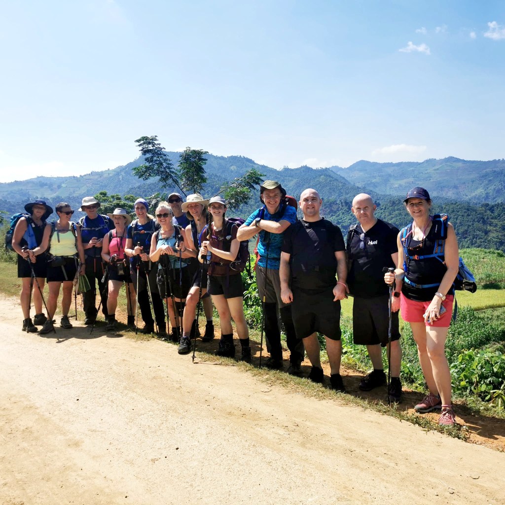
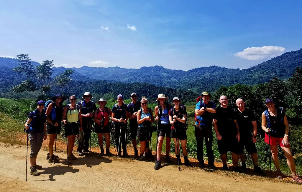
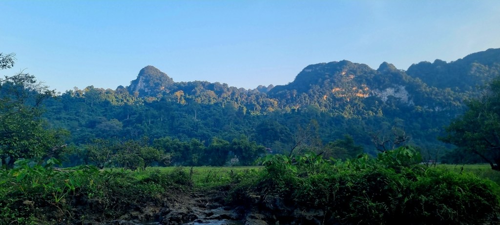
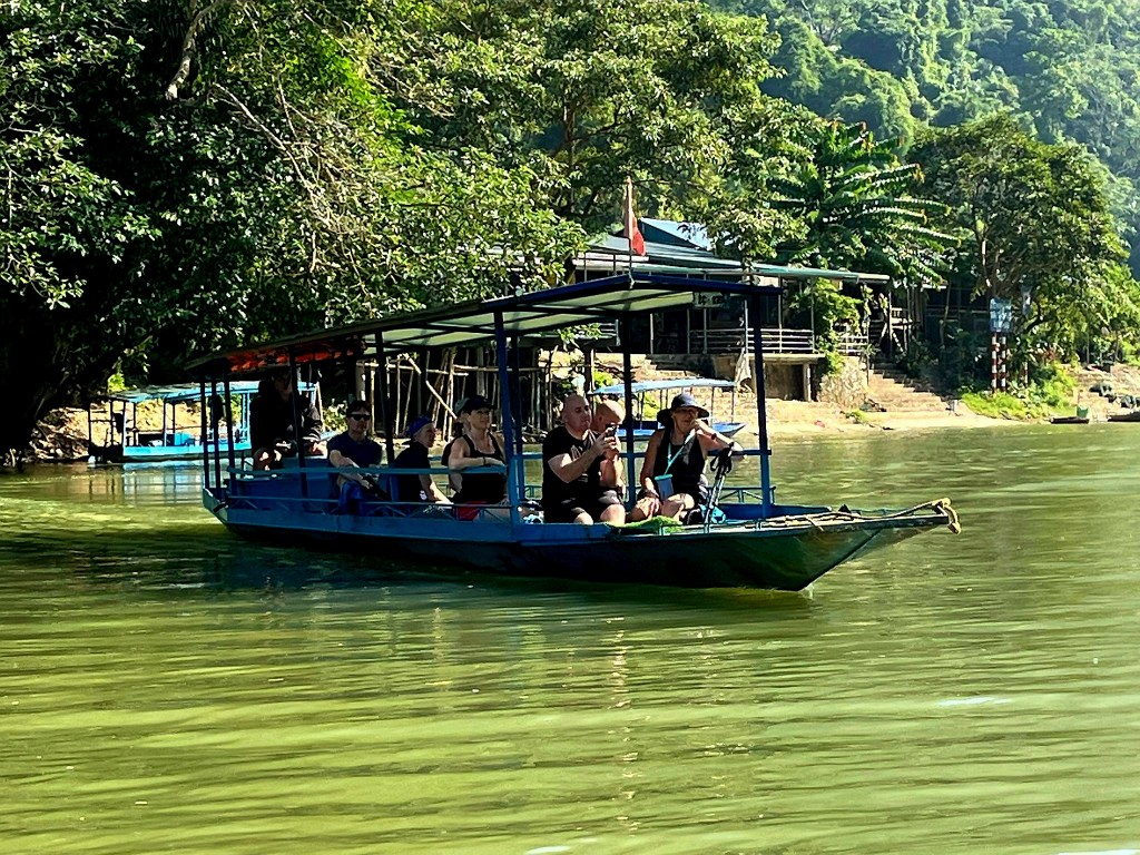
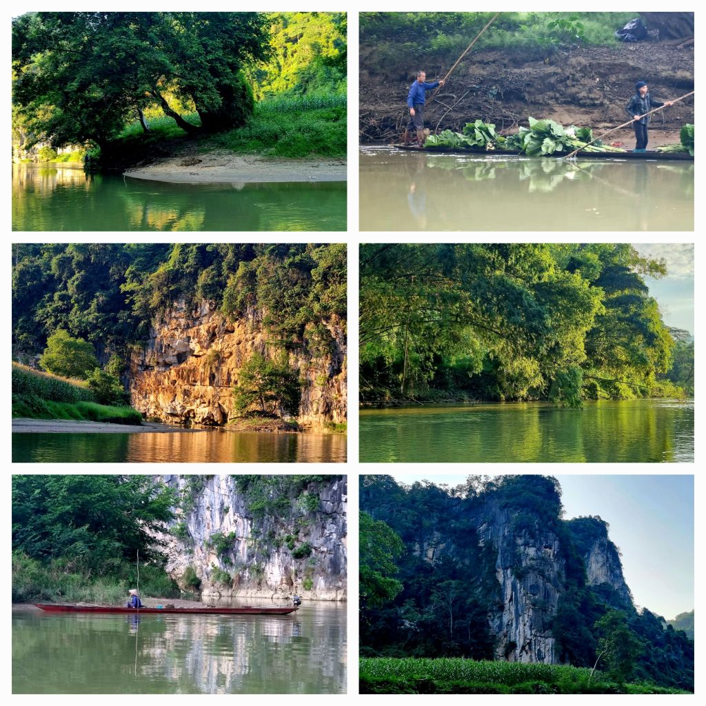
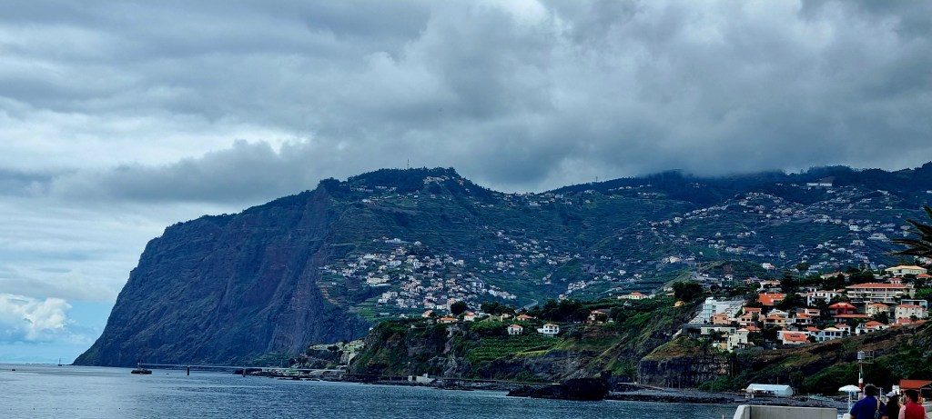
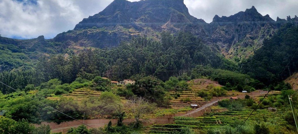
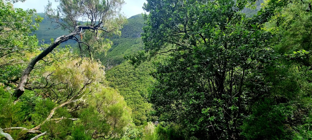
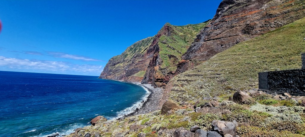
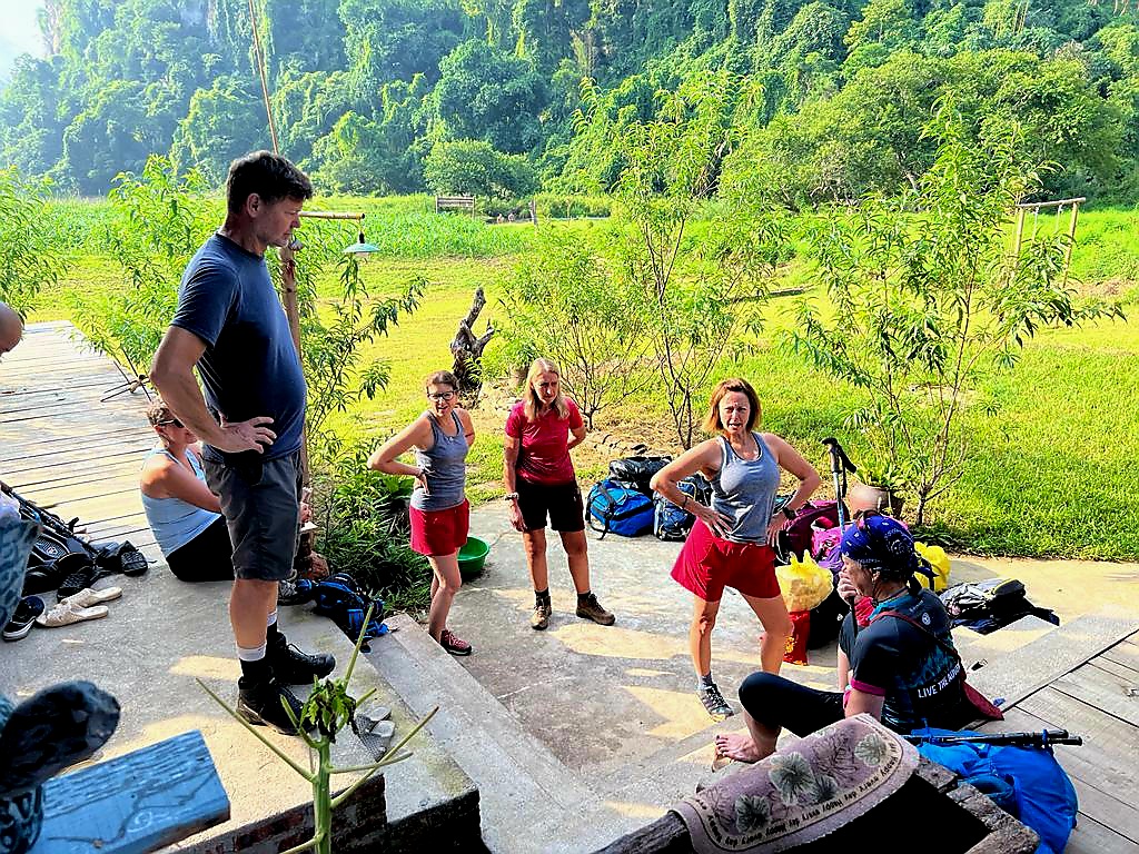
We reunited with our bus and then drove via Ban Na and Na Phax villages across the Pia Oac mountain range.

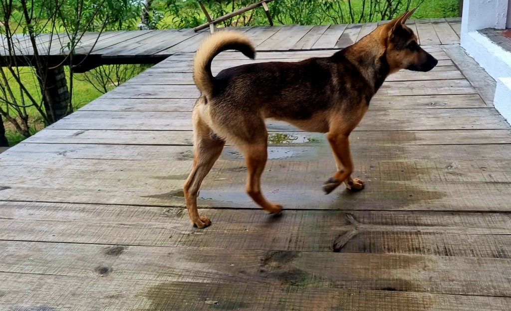
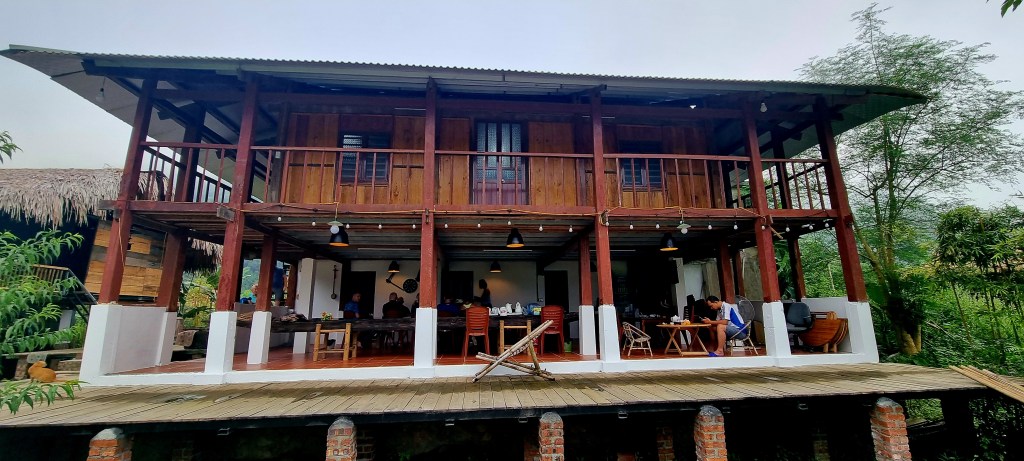
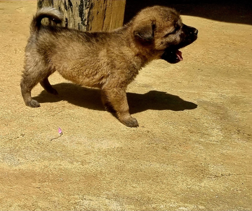
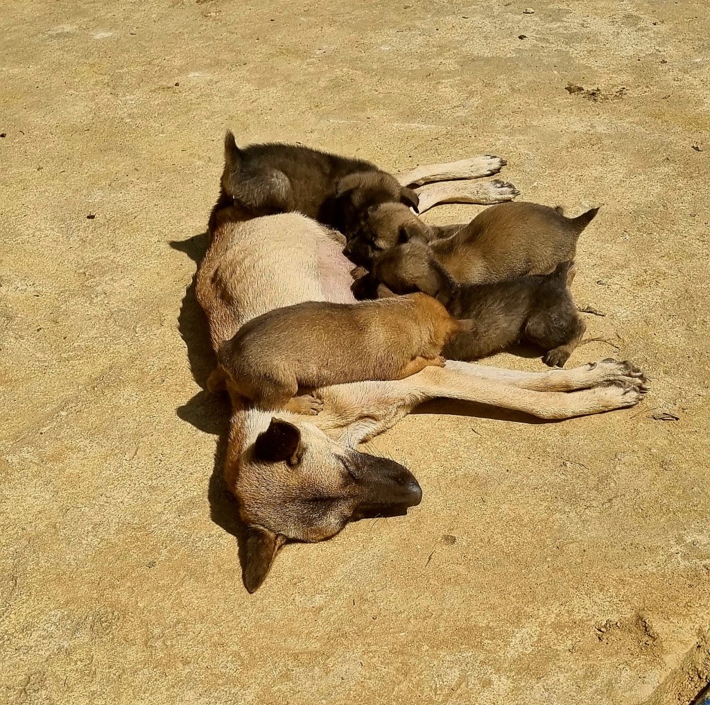
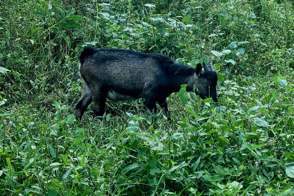
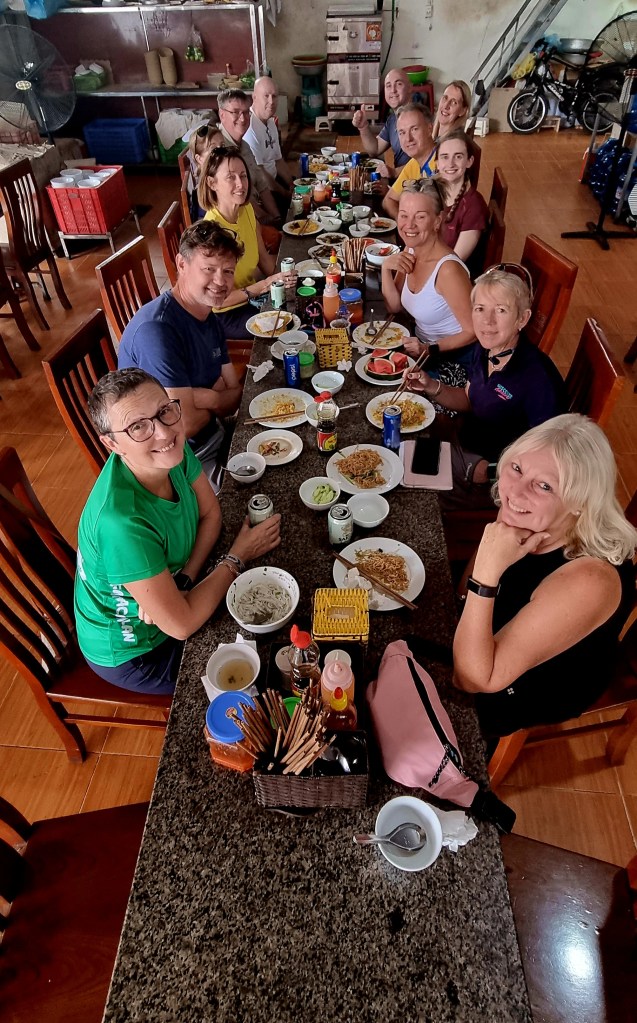
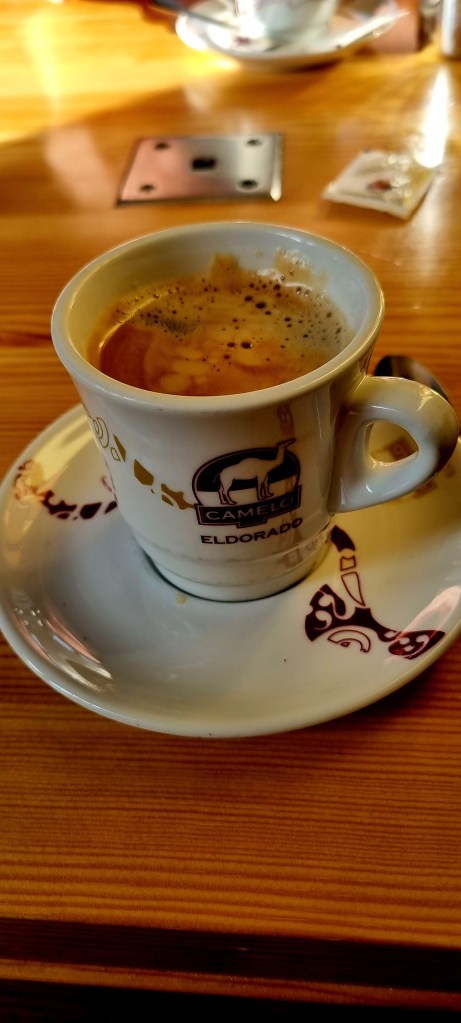
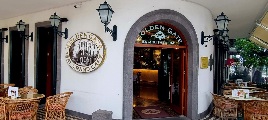
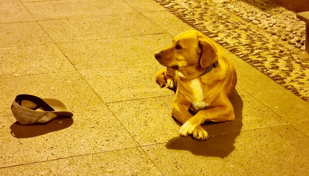
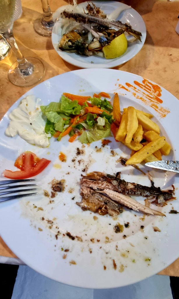
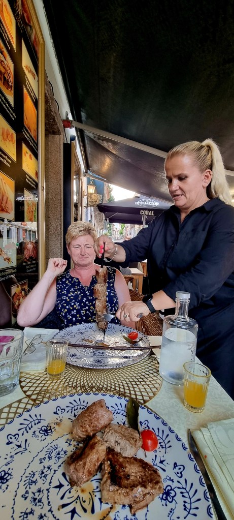
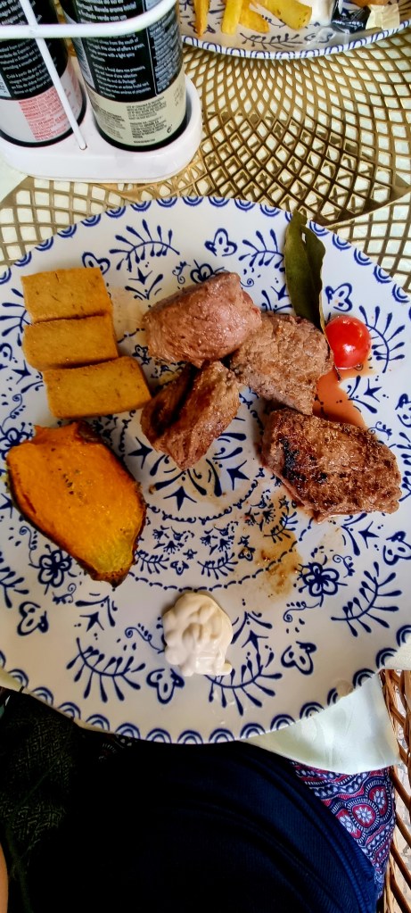
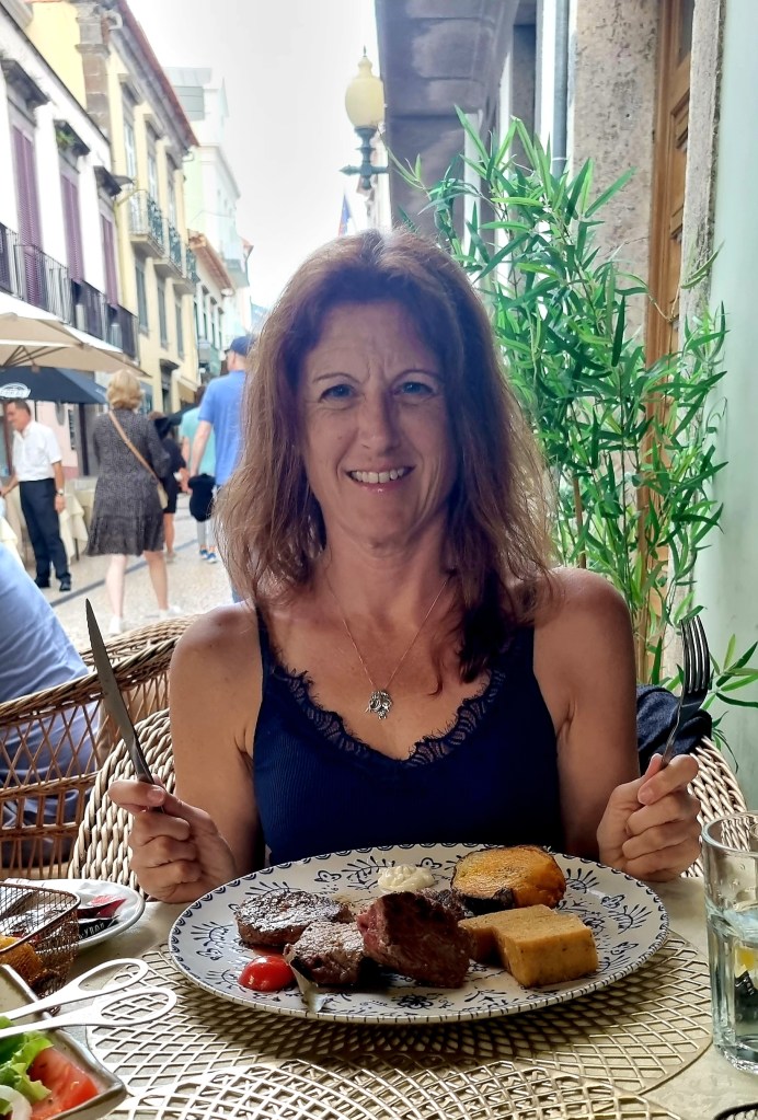
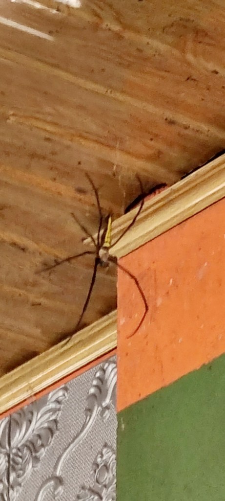
We stopped off at a local cafe for a lovely traditional lunch. There was a massive spider there, luckily on the other side of the room, and some cute dogs.

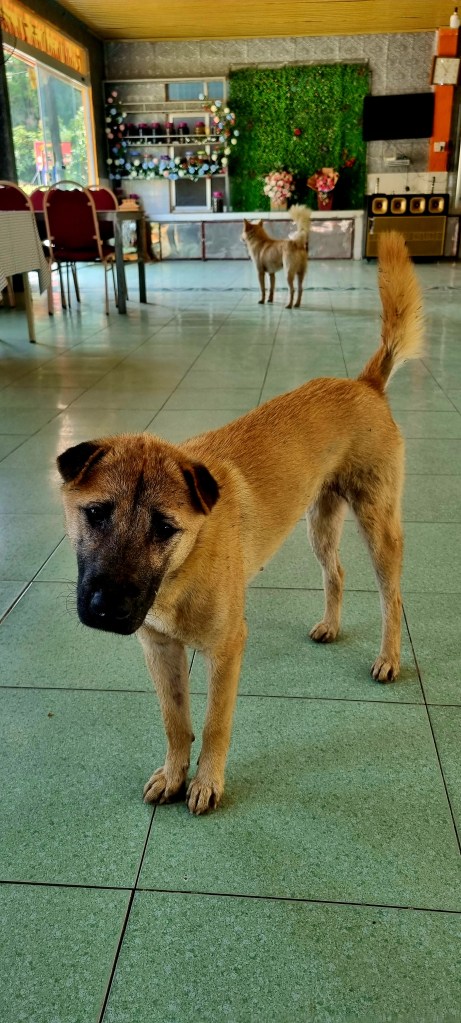
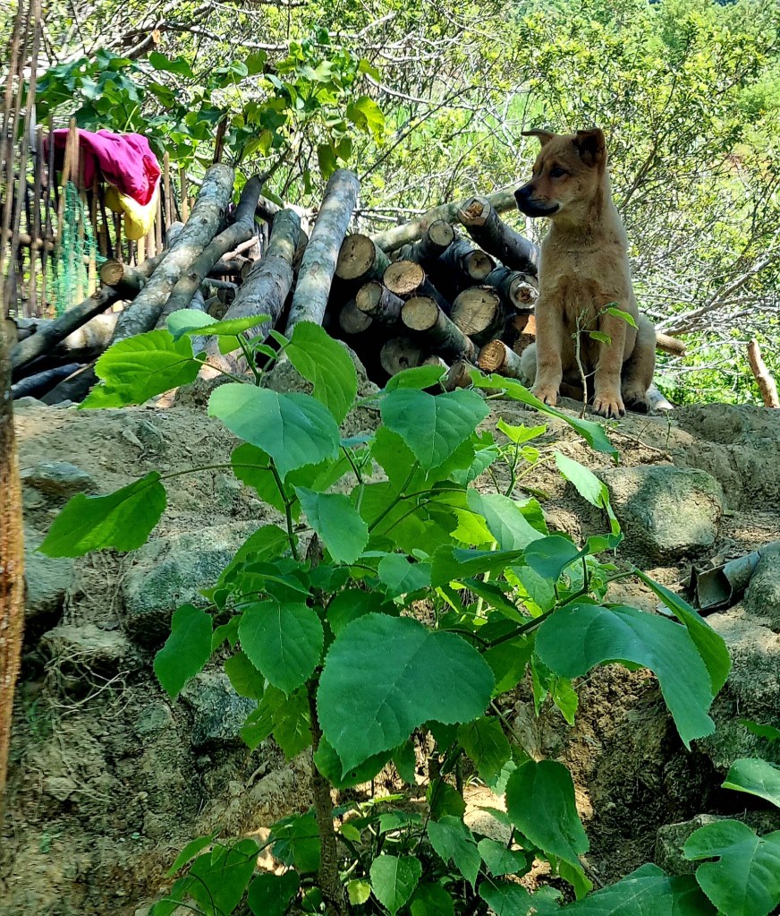
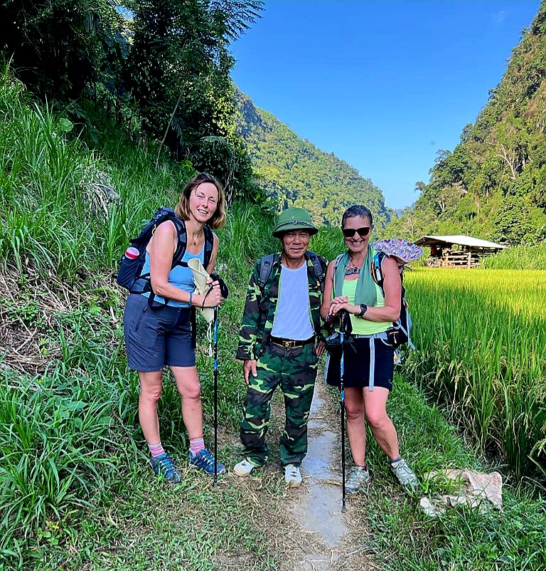
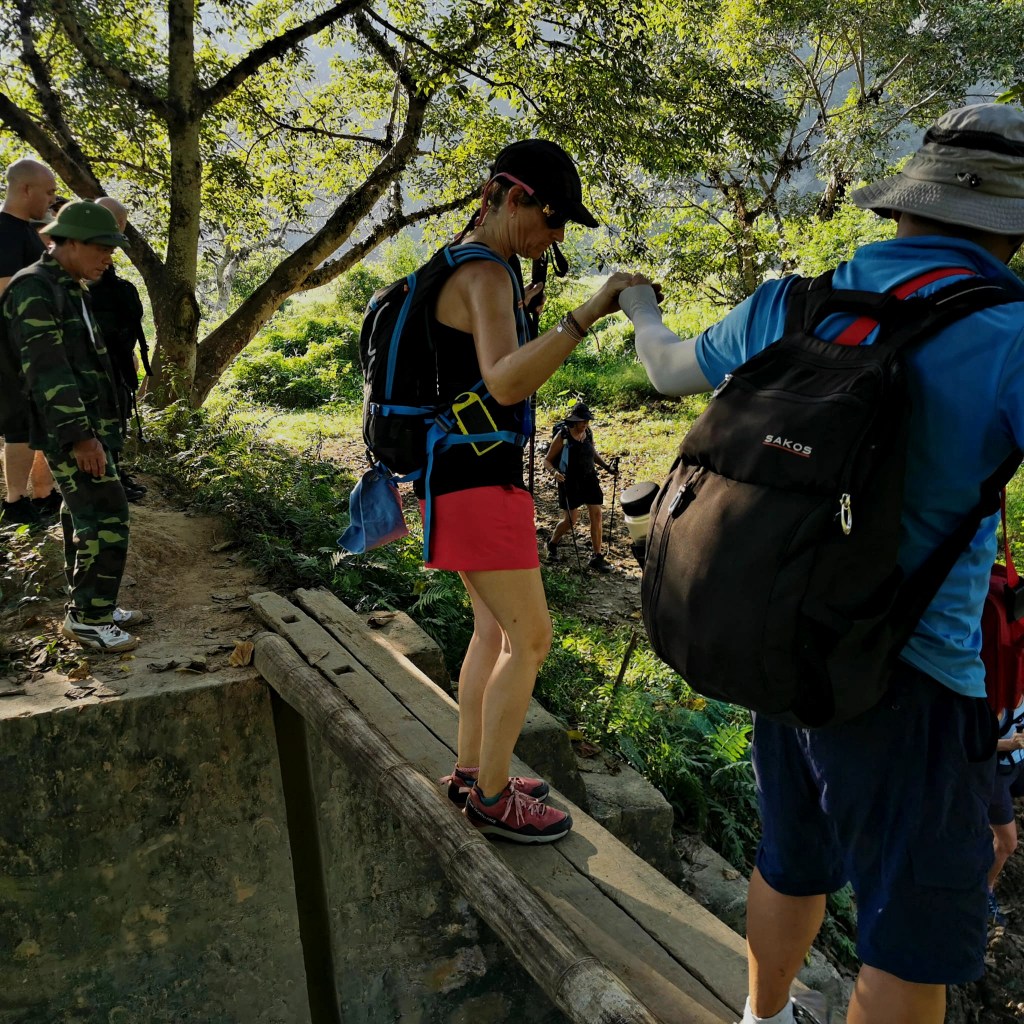
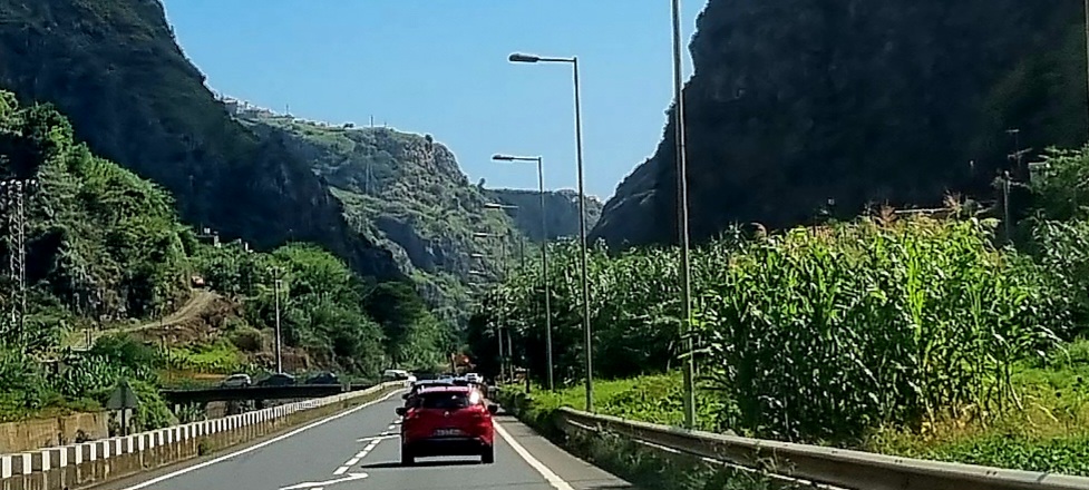
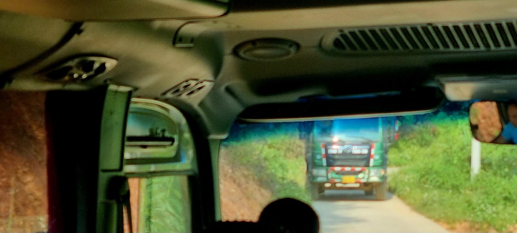
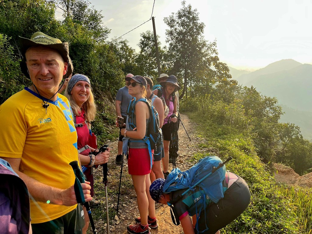
After lunch, which we shared with the dogs, we continued our journey into the mountains along narrow, windy roads. A couple of times, we came face to face with trucks, and either us or them had to reverse.

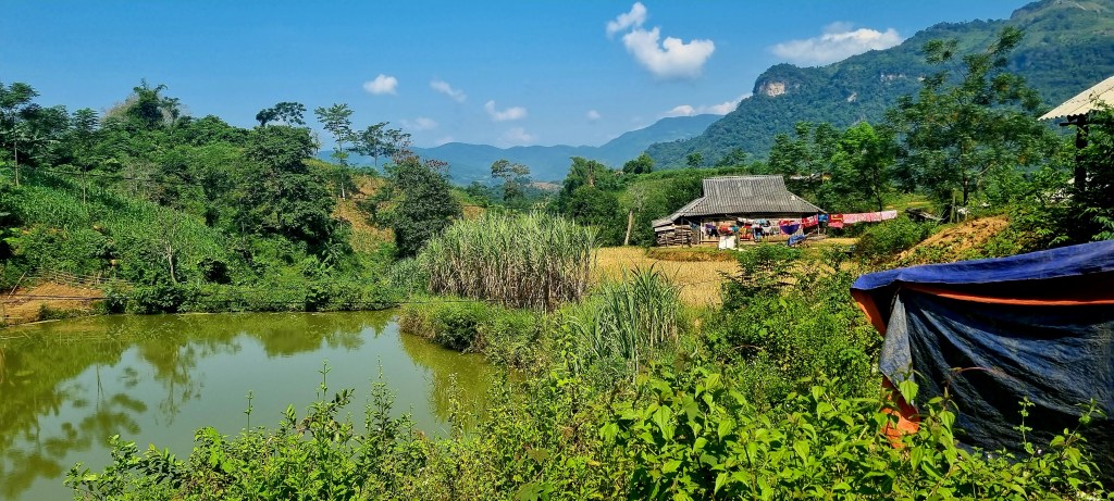
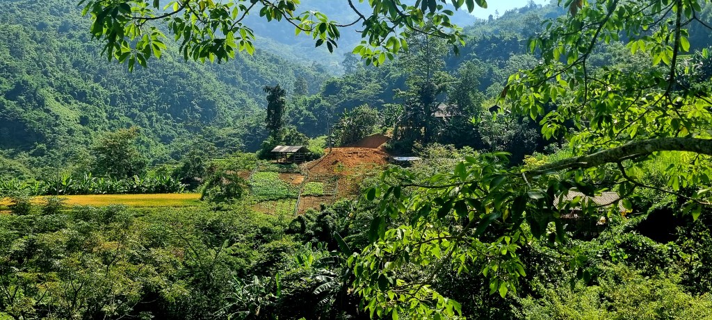
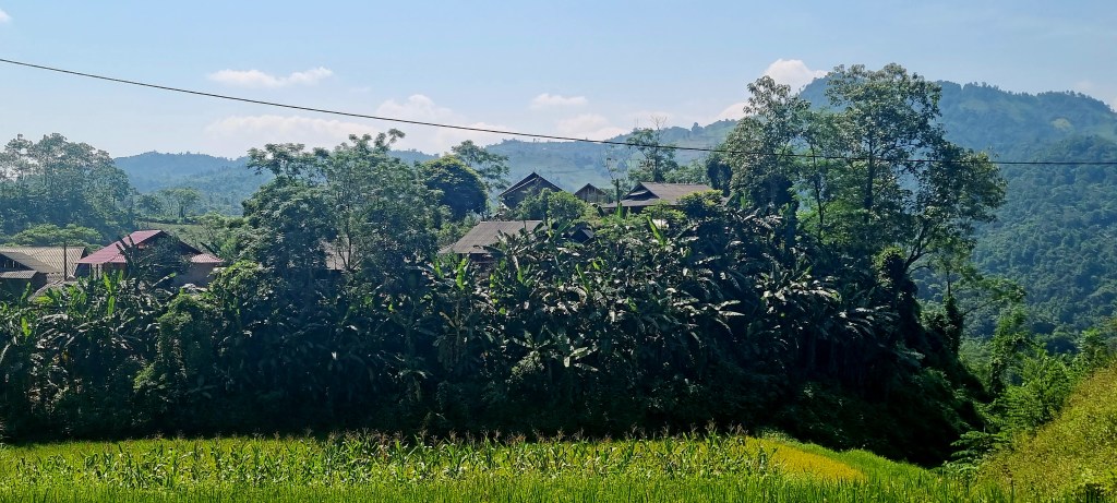
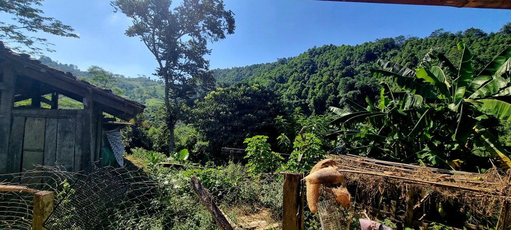
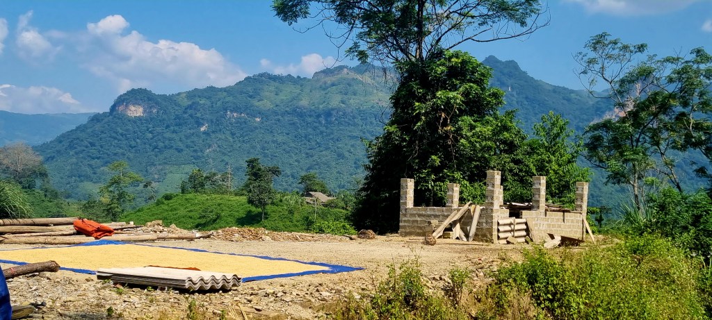
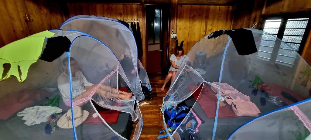
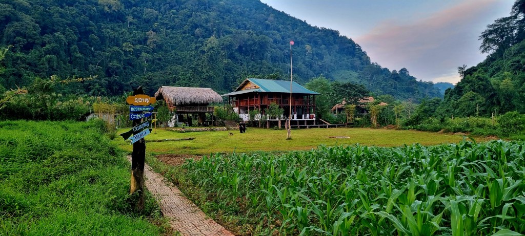
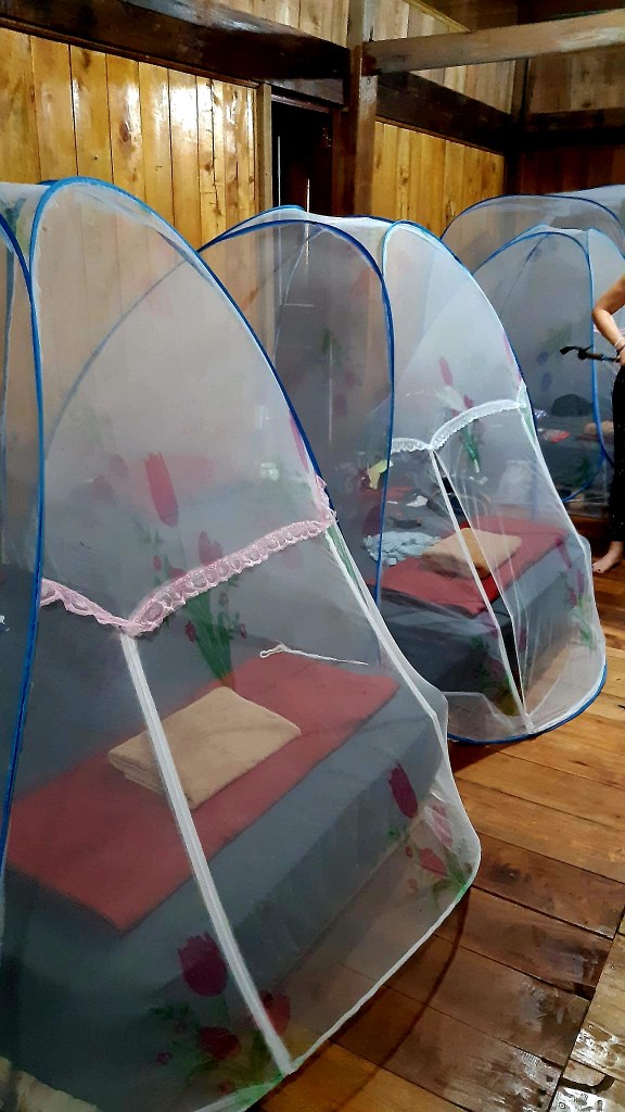
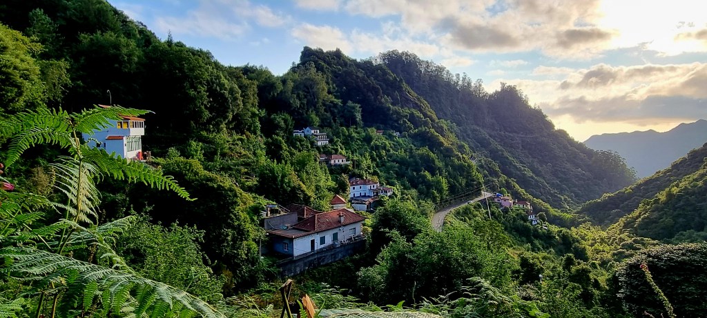
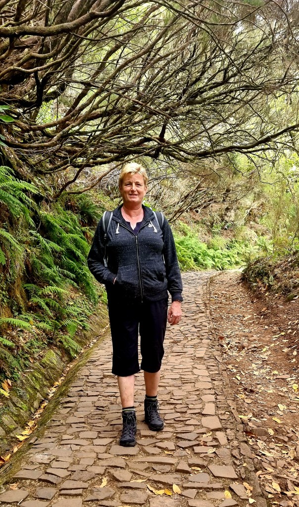
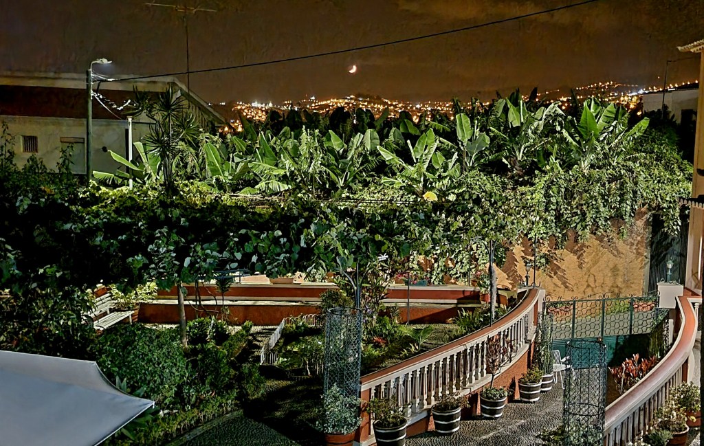
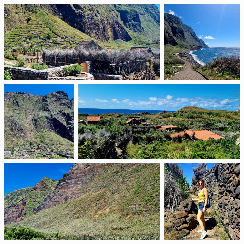
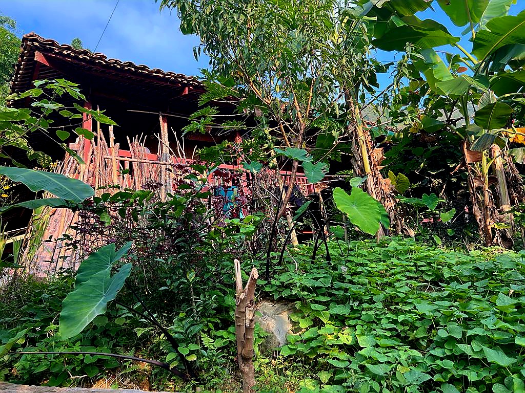
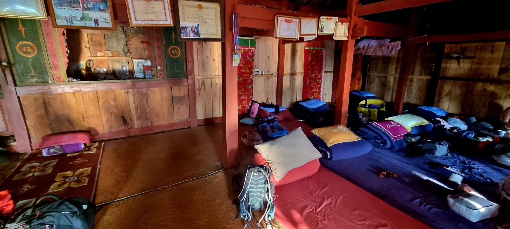
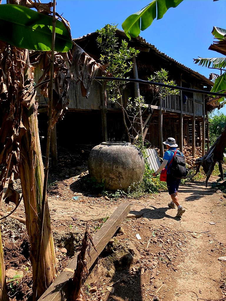
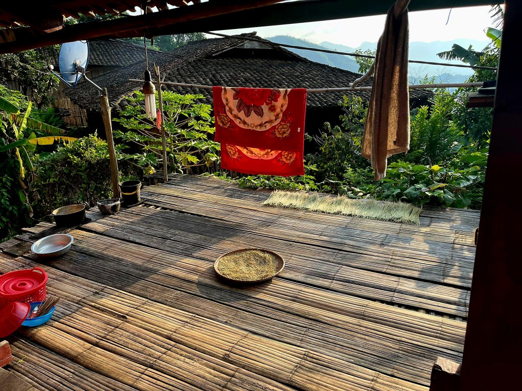
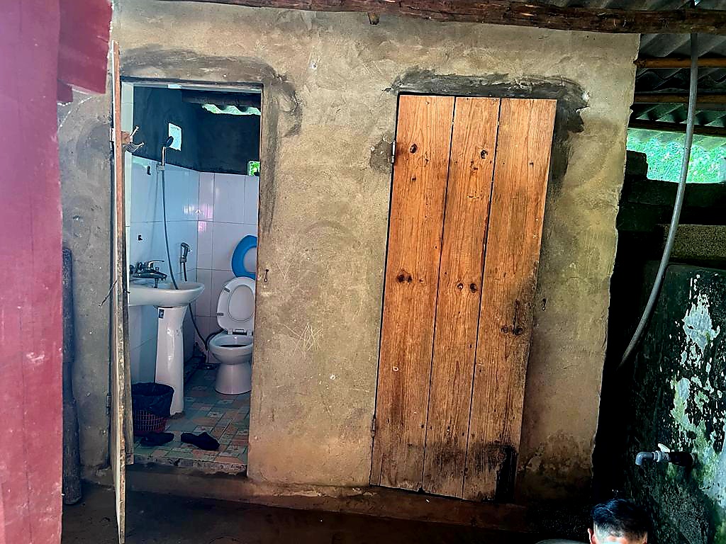
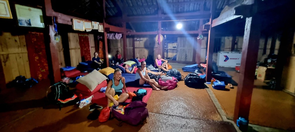
The minibus couldn’t get to our homestay, so we had to walk a short distance through the village to get there. The homestay was slightly more basic than the previous one but also had flushing toilets and showers (in the same room).

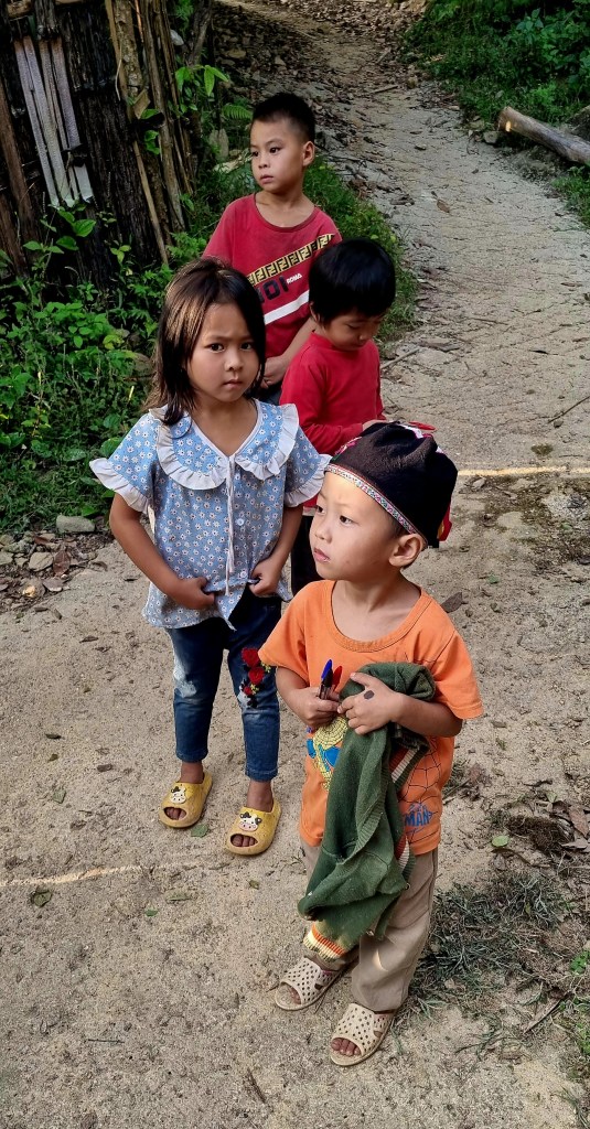
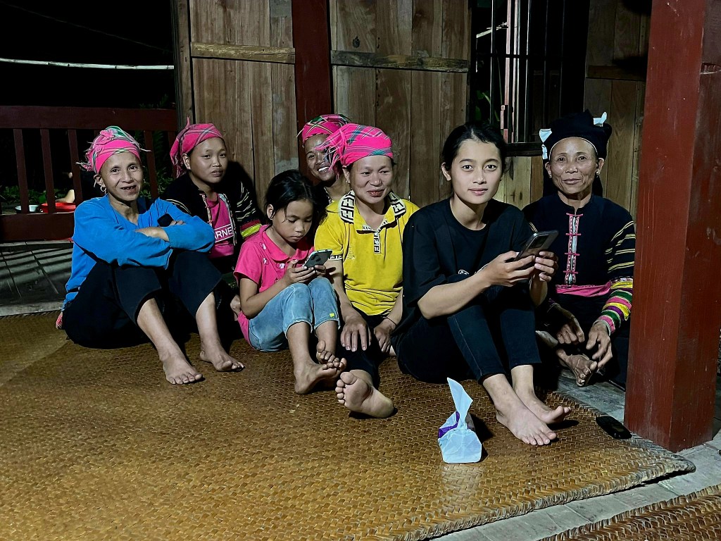
Our hosts were from the Lola tribe who migrated south from China in the 18th century. They tried to make an autonomous area within China but were unsuccessful, so migrated to the mountains in Vietnam.

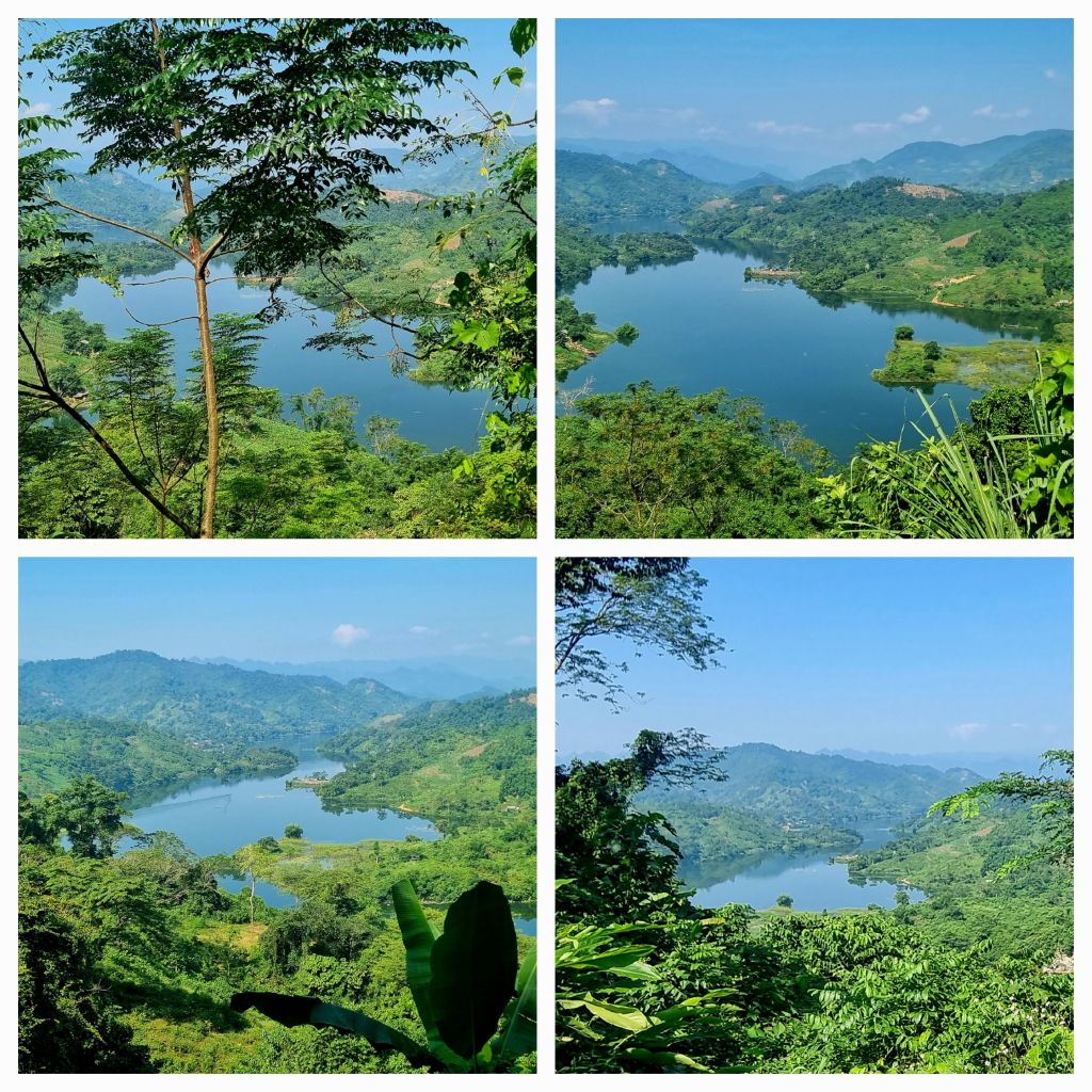
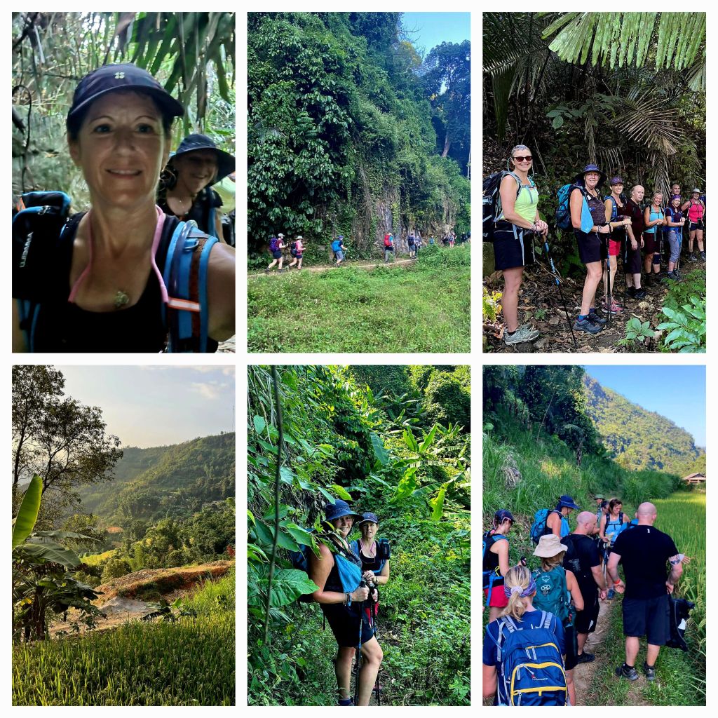
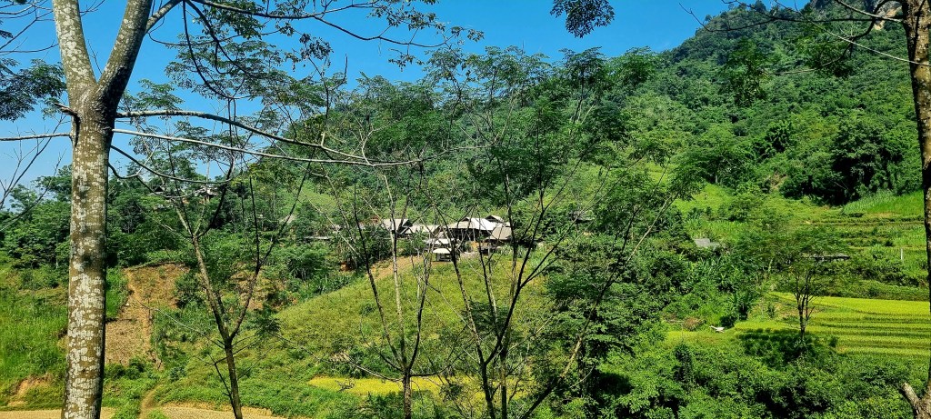
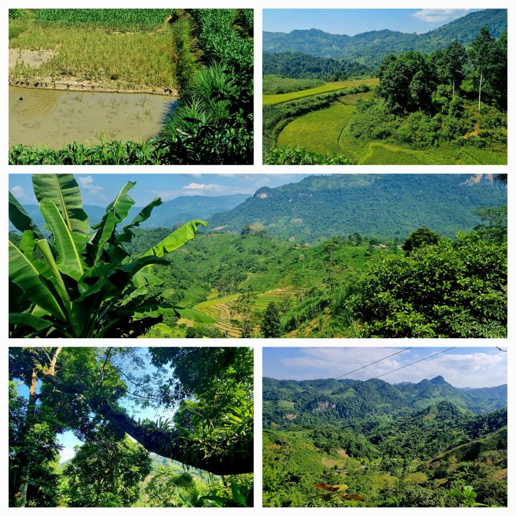
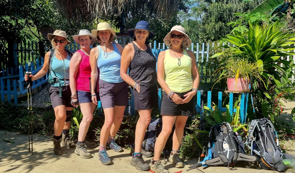
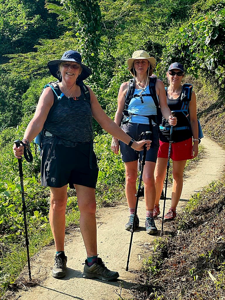
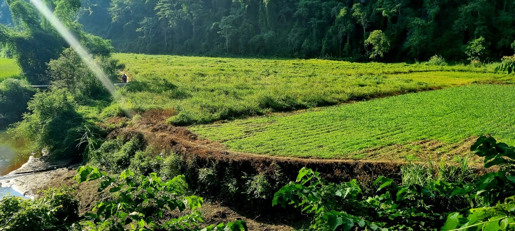
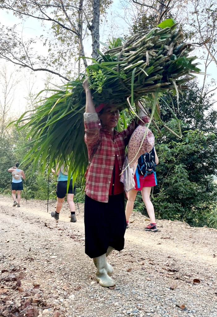
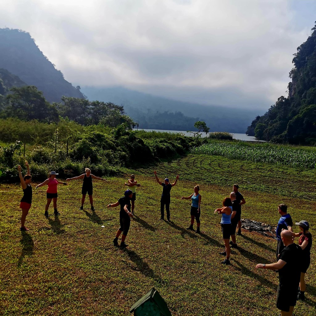
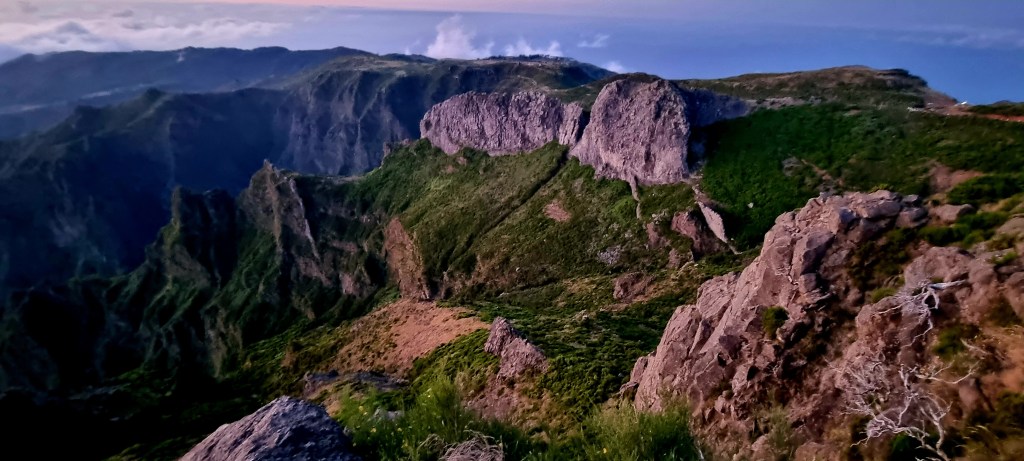
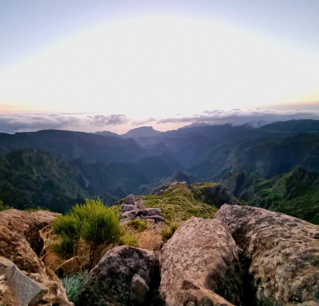
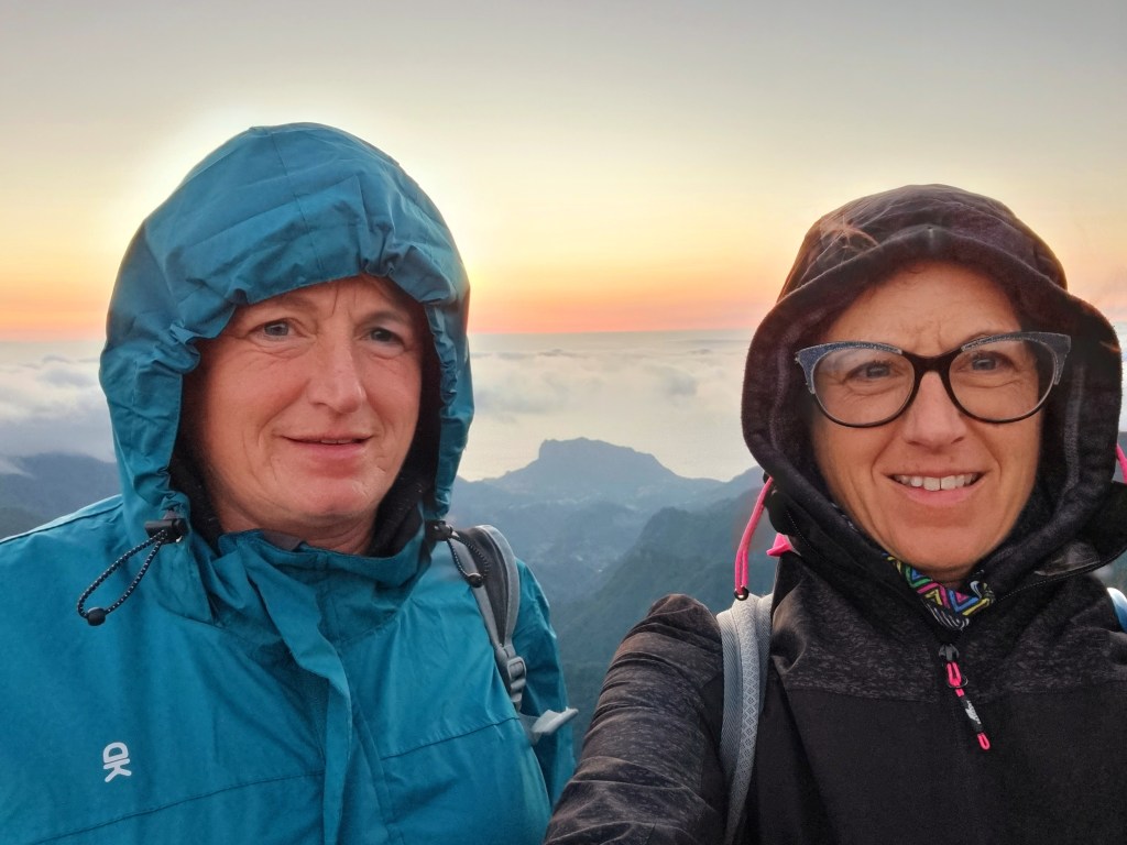
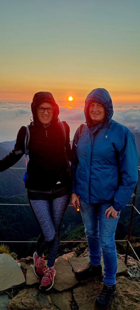
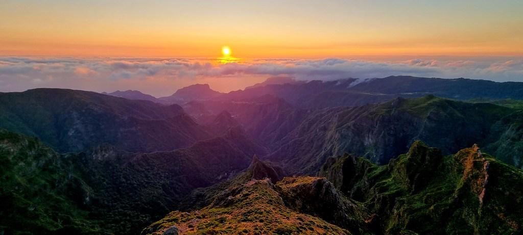
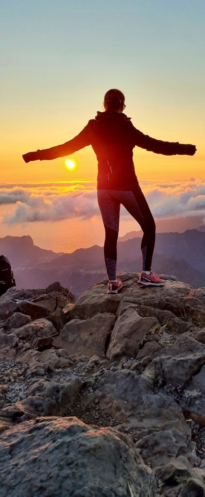
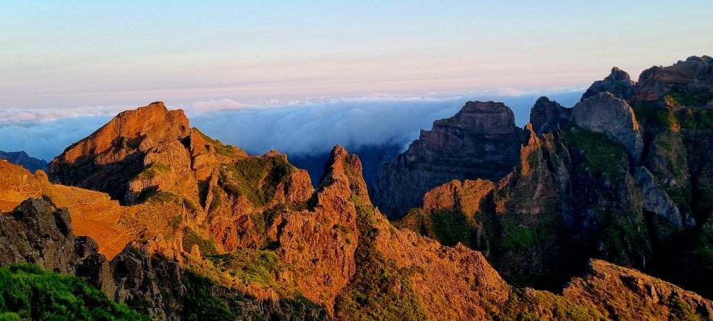
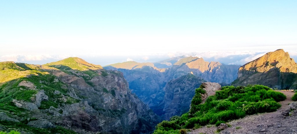
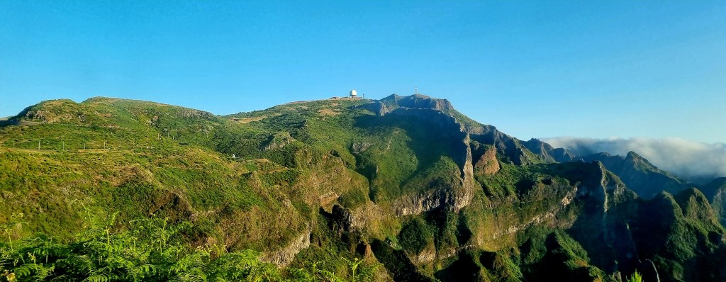
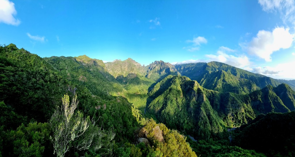
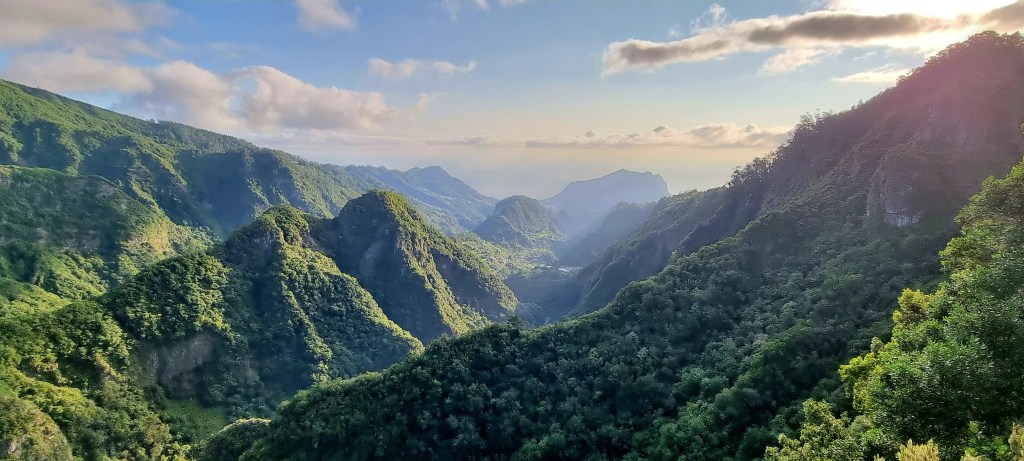
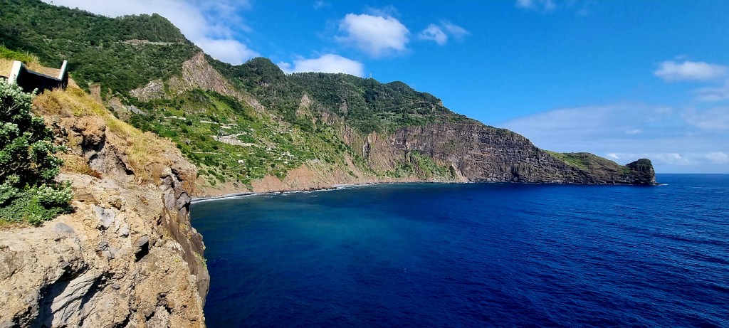
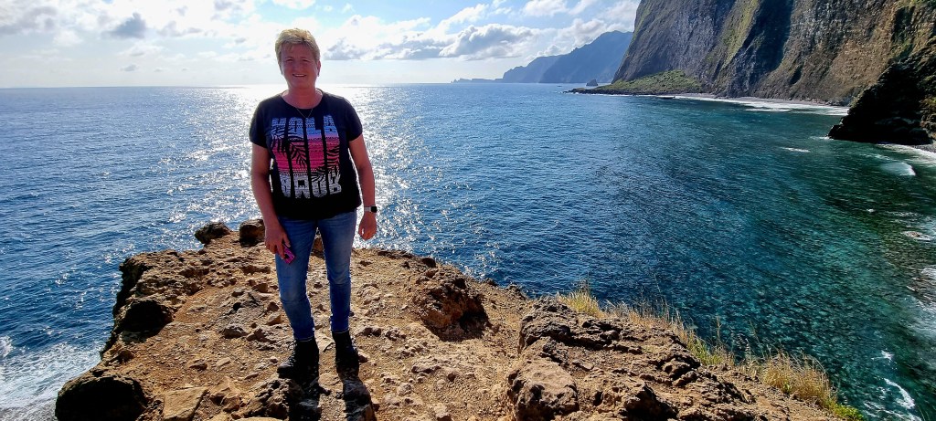
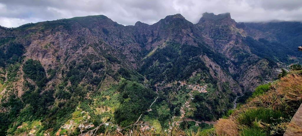
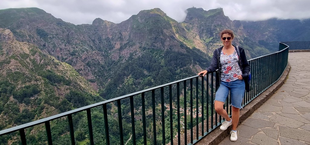
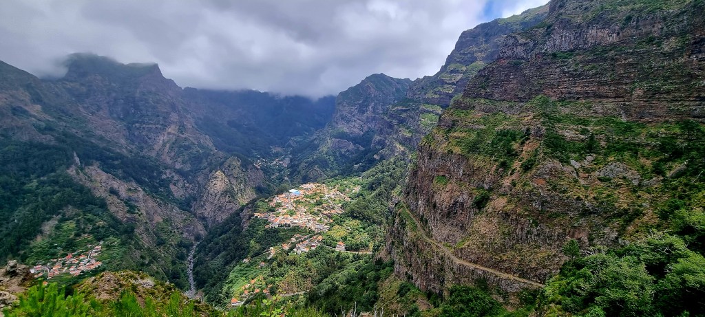
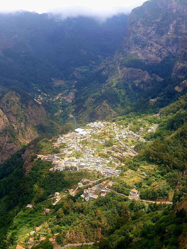
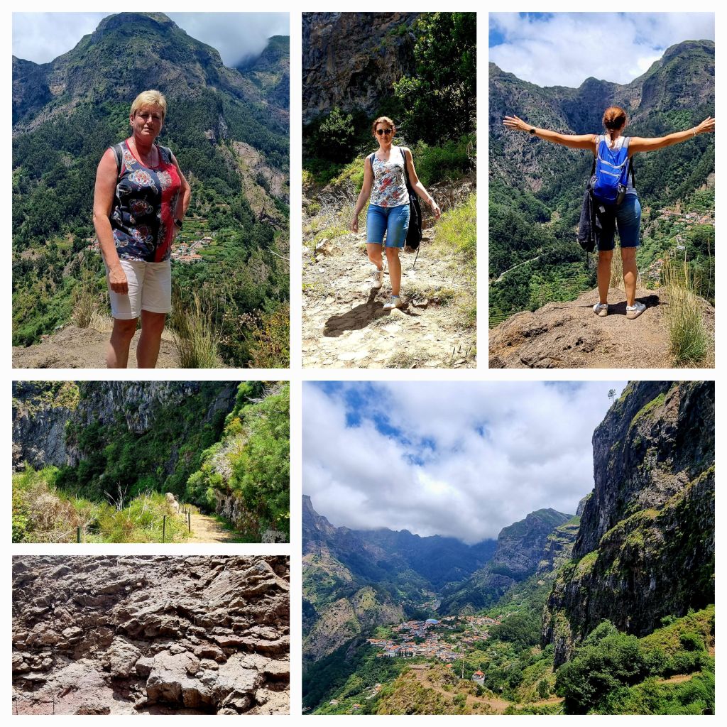
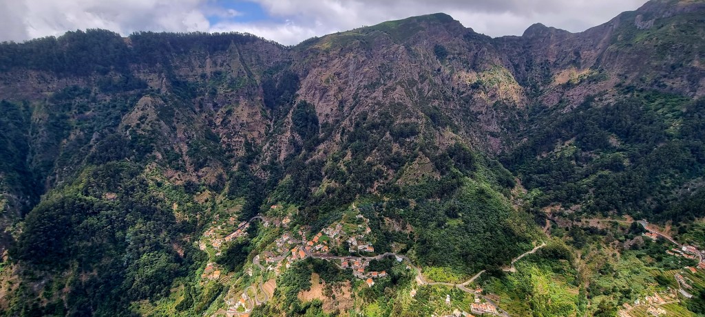
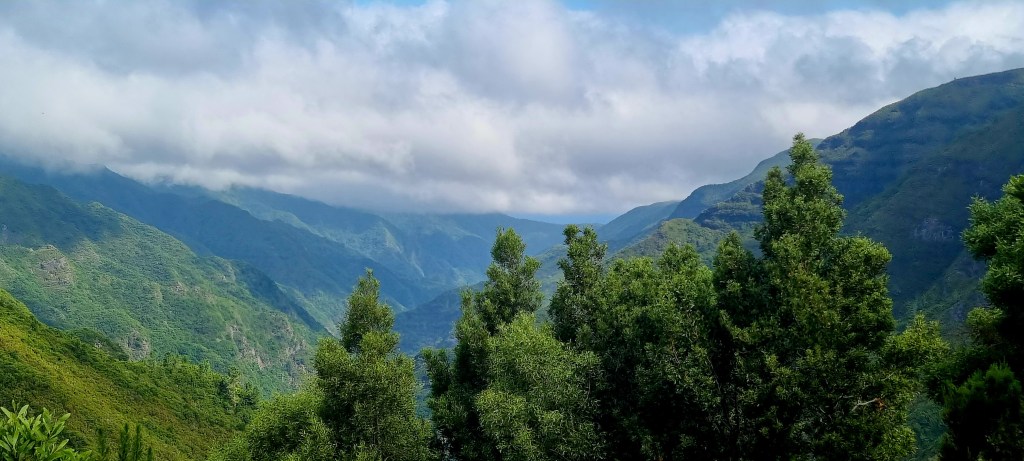
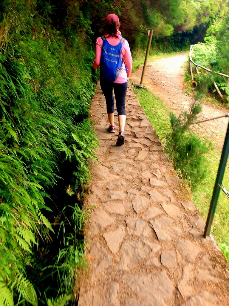
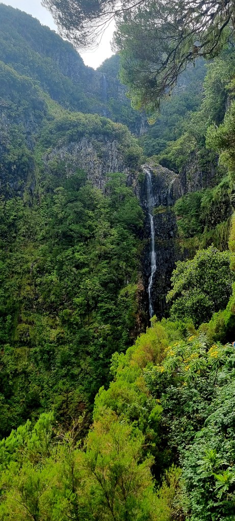
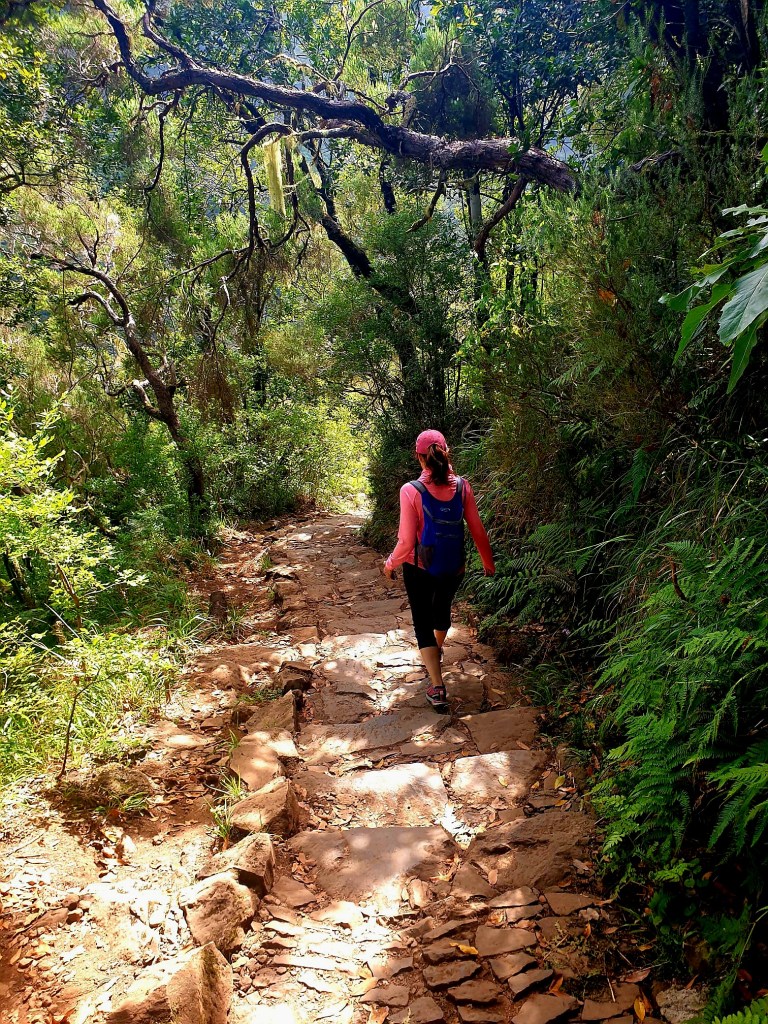
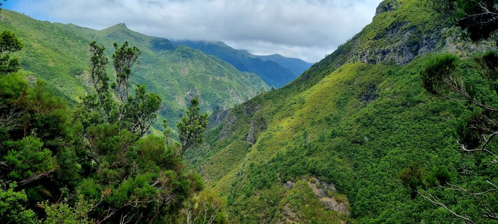
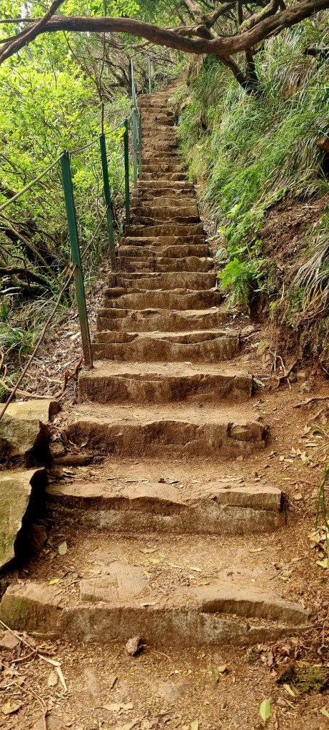
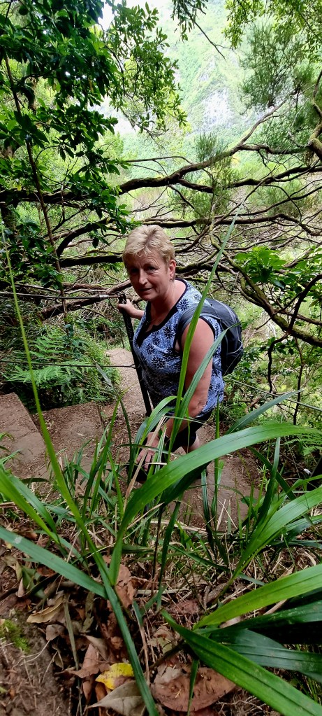
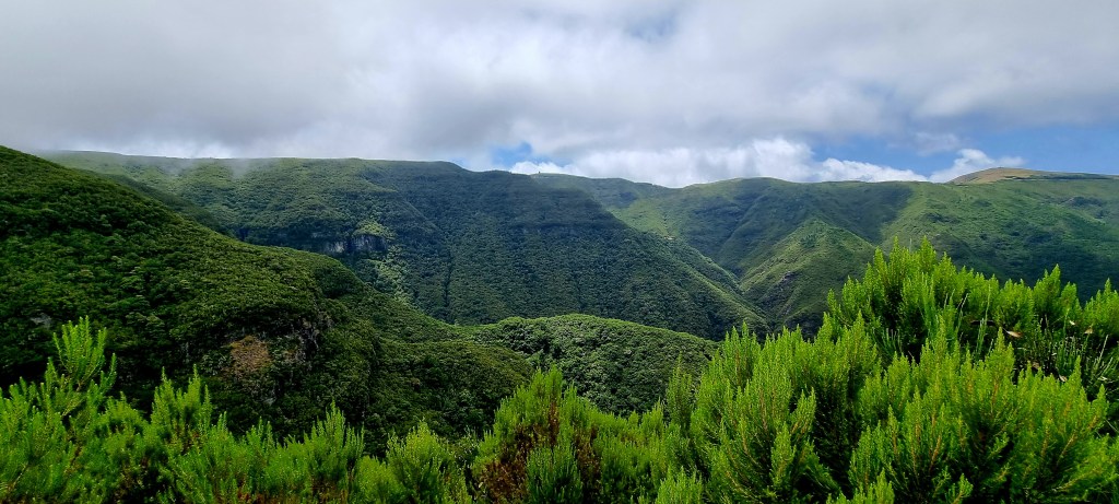
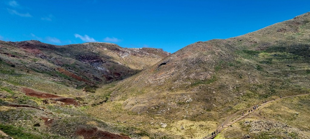
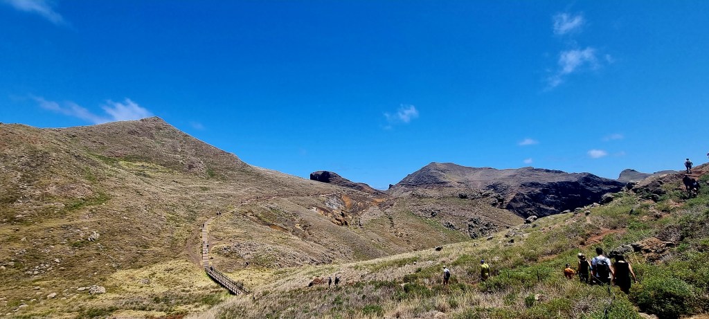
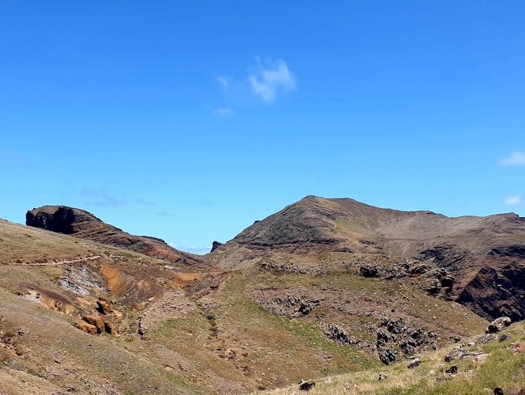
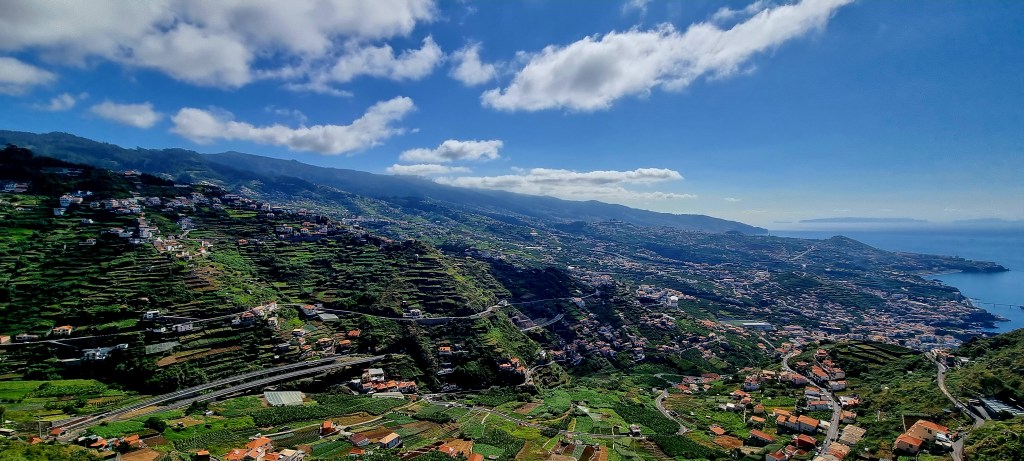
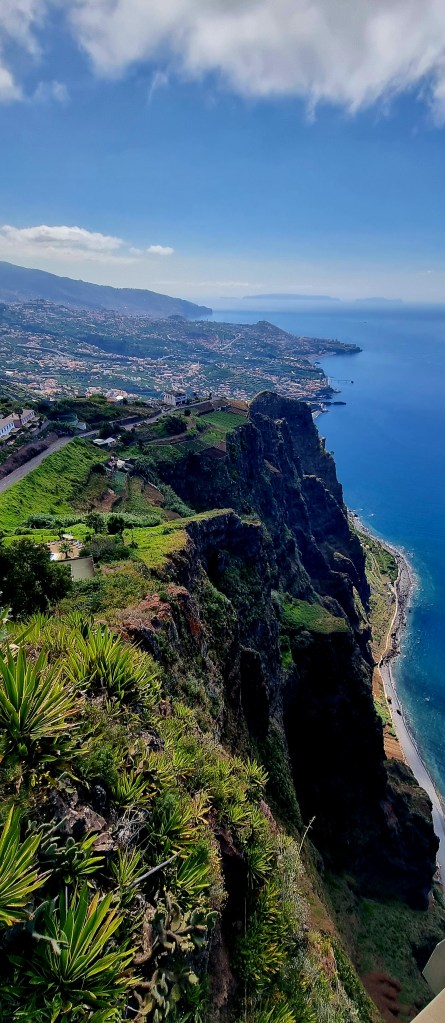
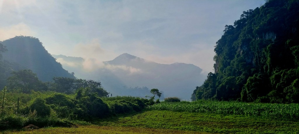
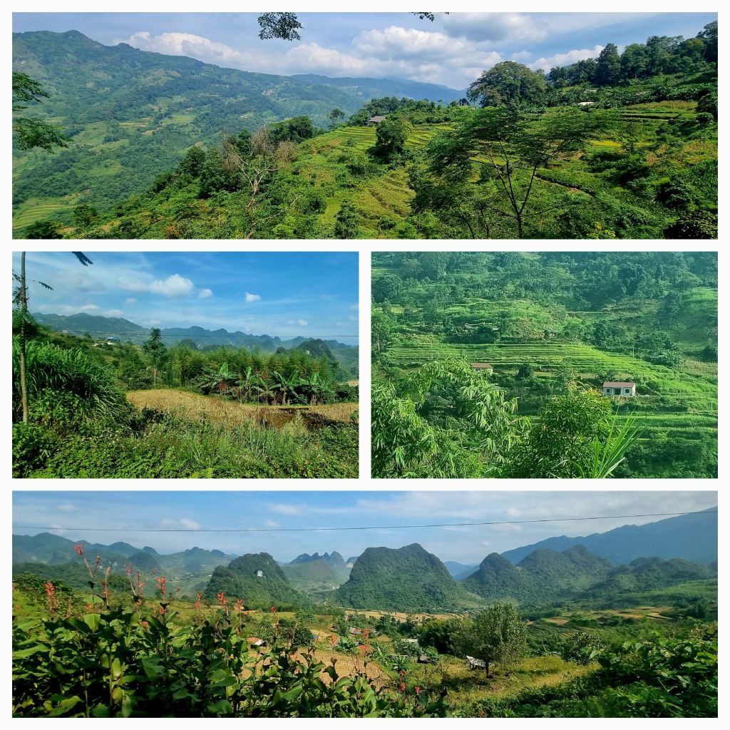
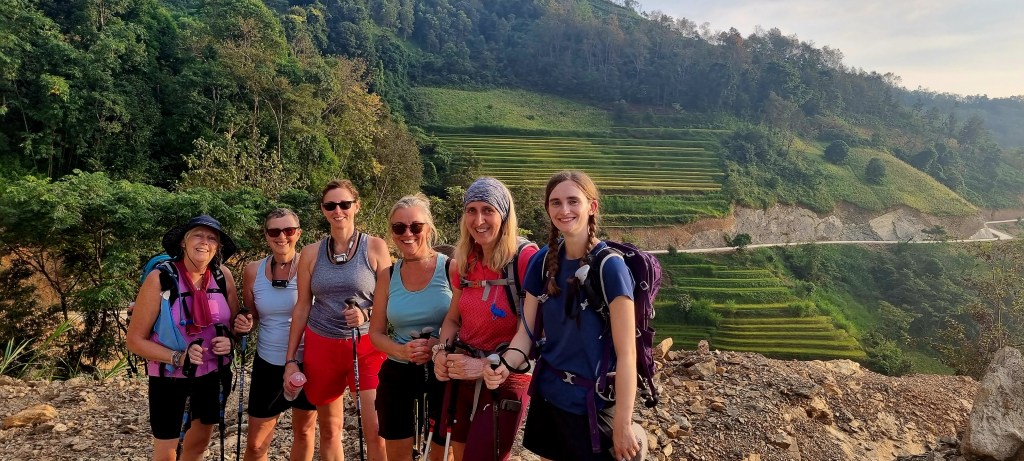
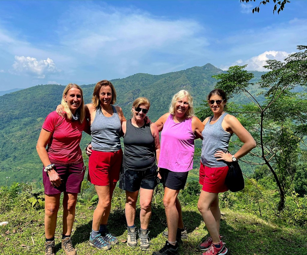
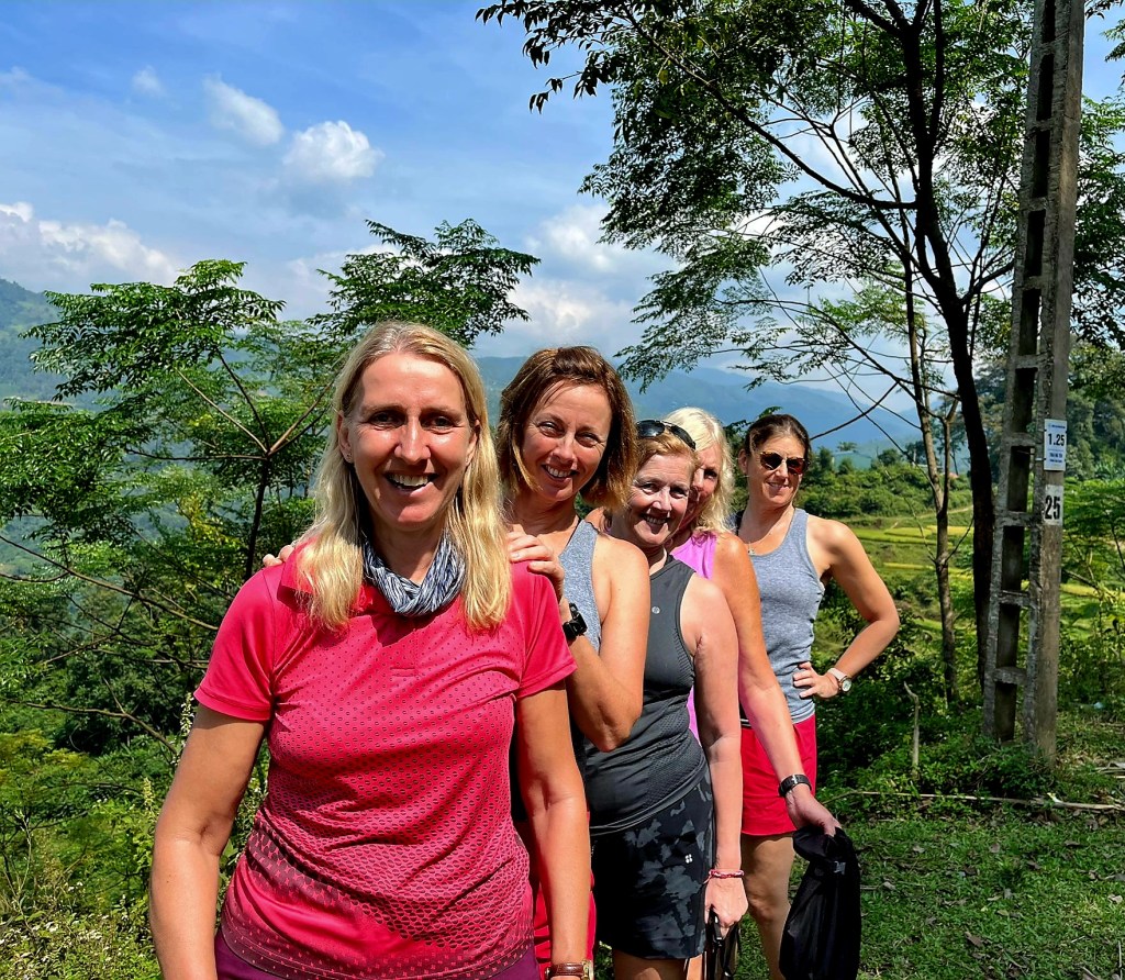
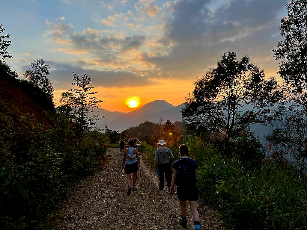
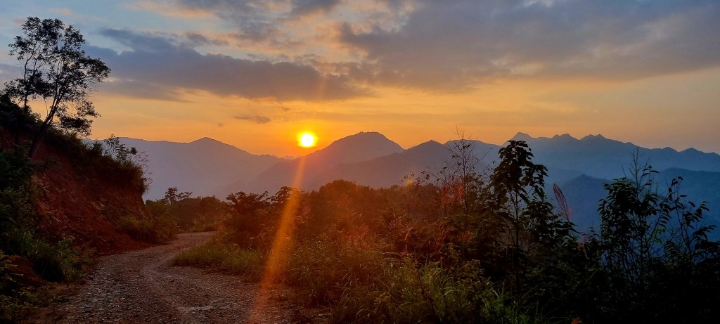
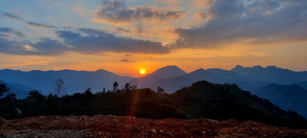
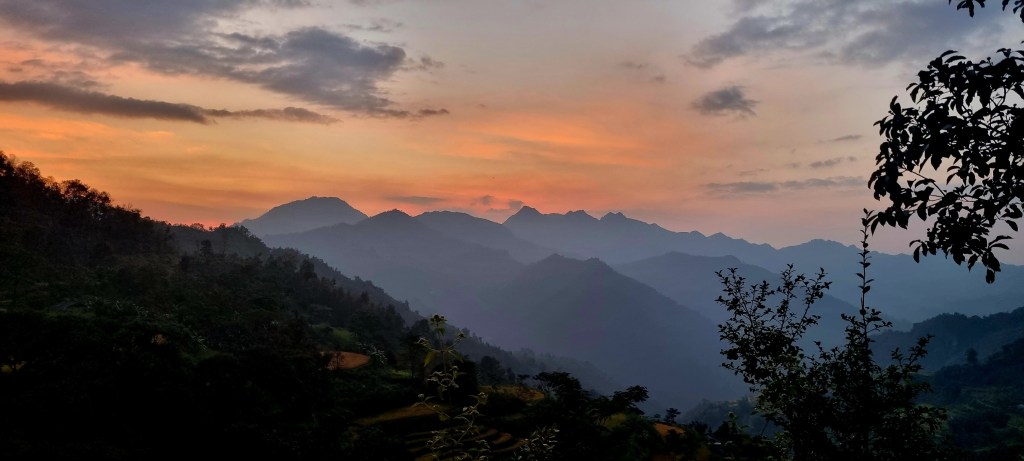
Once we were settled in, we started a hike up to a pass overlooking the village and surrounding villages. The views were stunning.

As we were walking, we chatted to Nhan about healthcare in Vietnam. The health service is funded by the government in terms of hospital care but only covers the cost of cheap medicines. Vietnamese people have to pay for the more expensive and effective European medicines. Vietnamese people have to buy health insurance. The government does support people over 70, but again, only via the cheaper options. There is a main doctor in the bigger towns, but each community has a small emergency centre run by a nurse.

Many people who live in the mountains just accept dying as it is too expensive to go to the hospital, and they don’t have health insurance as they can’t afford it. The Shaman pray with the people who are dying and try to get their energy back. They used to use medicines sourced from wild animals, which then became extinct in Vietnam, such as tigers.

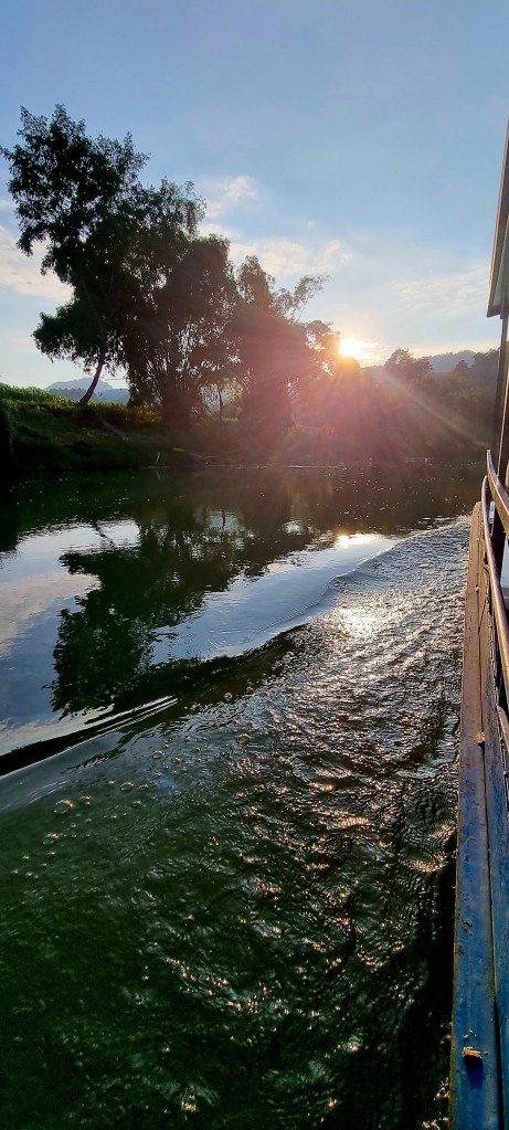
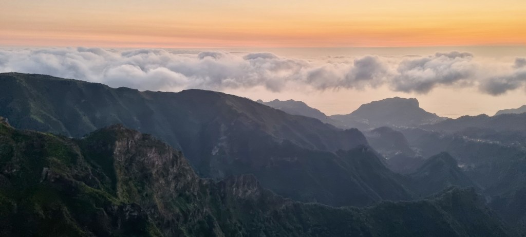
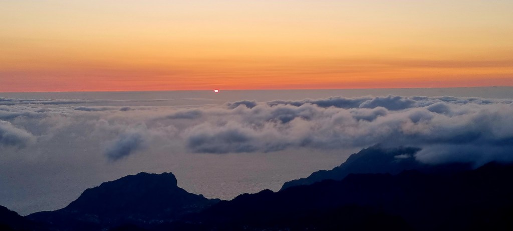
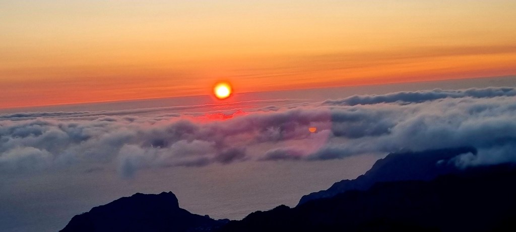
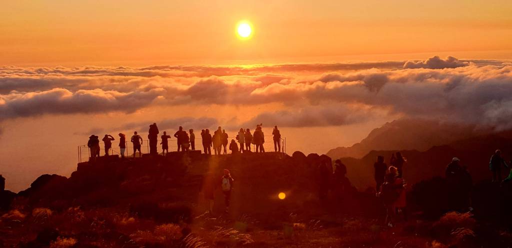
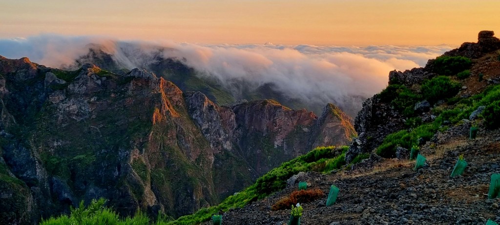
As we were walking, the sun began to set behind the mountains.

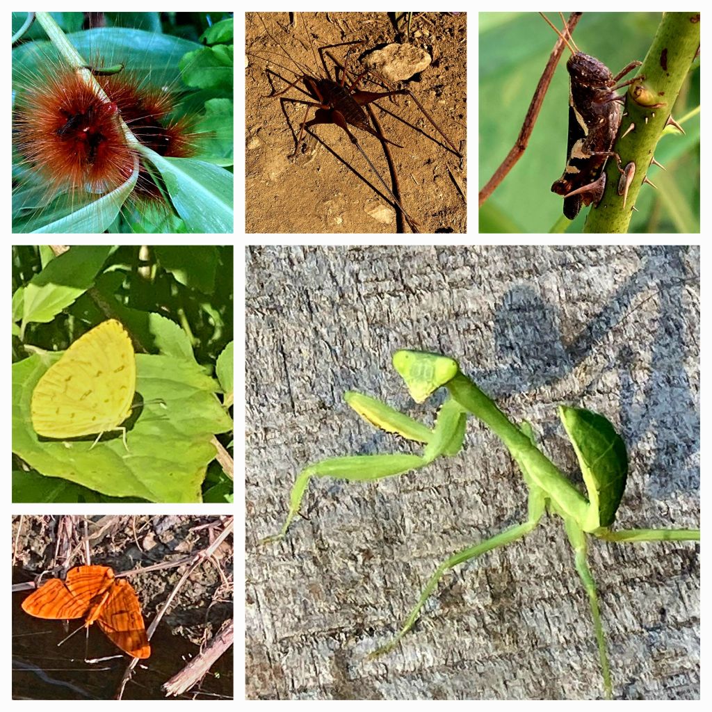
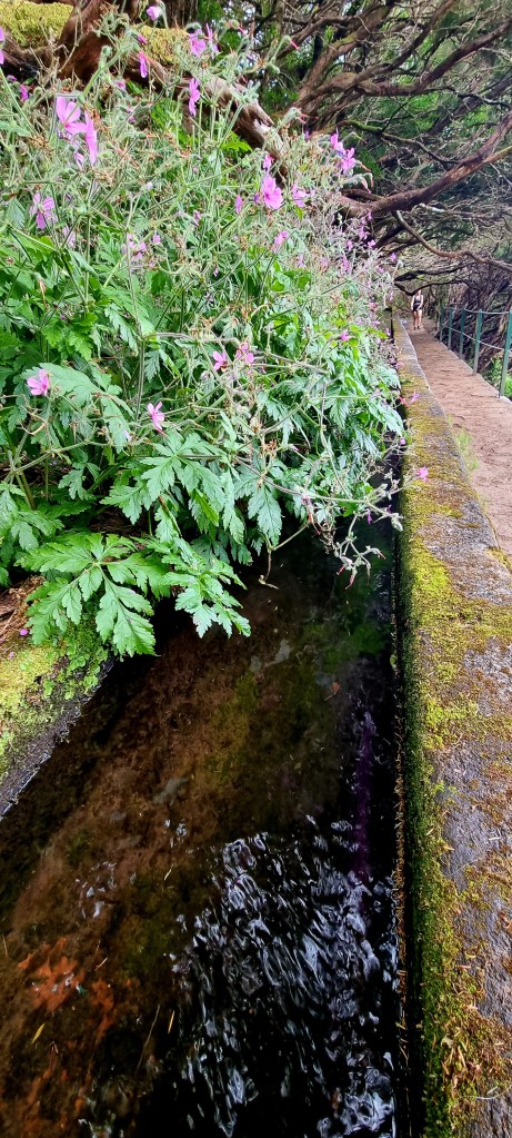
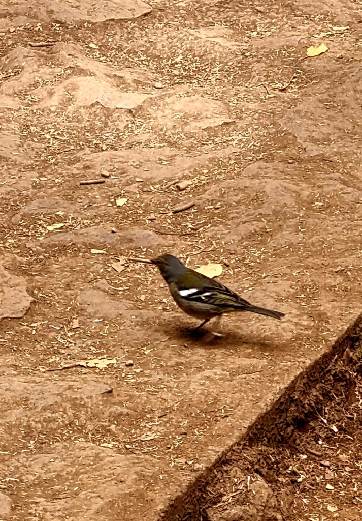
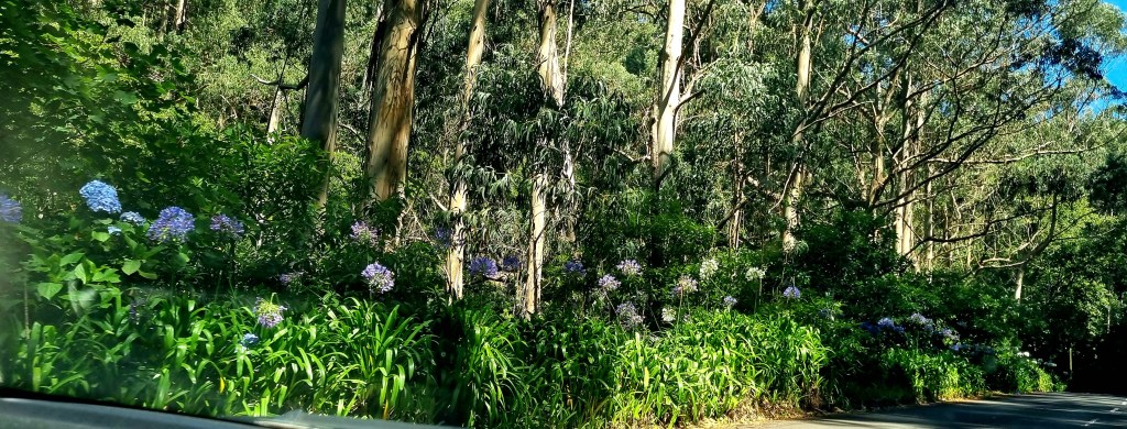
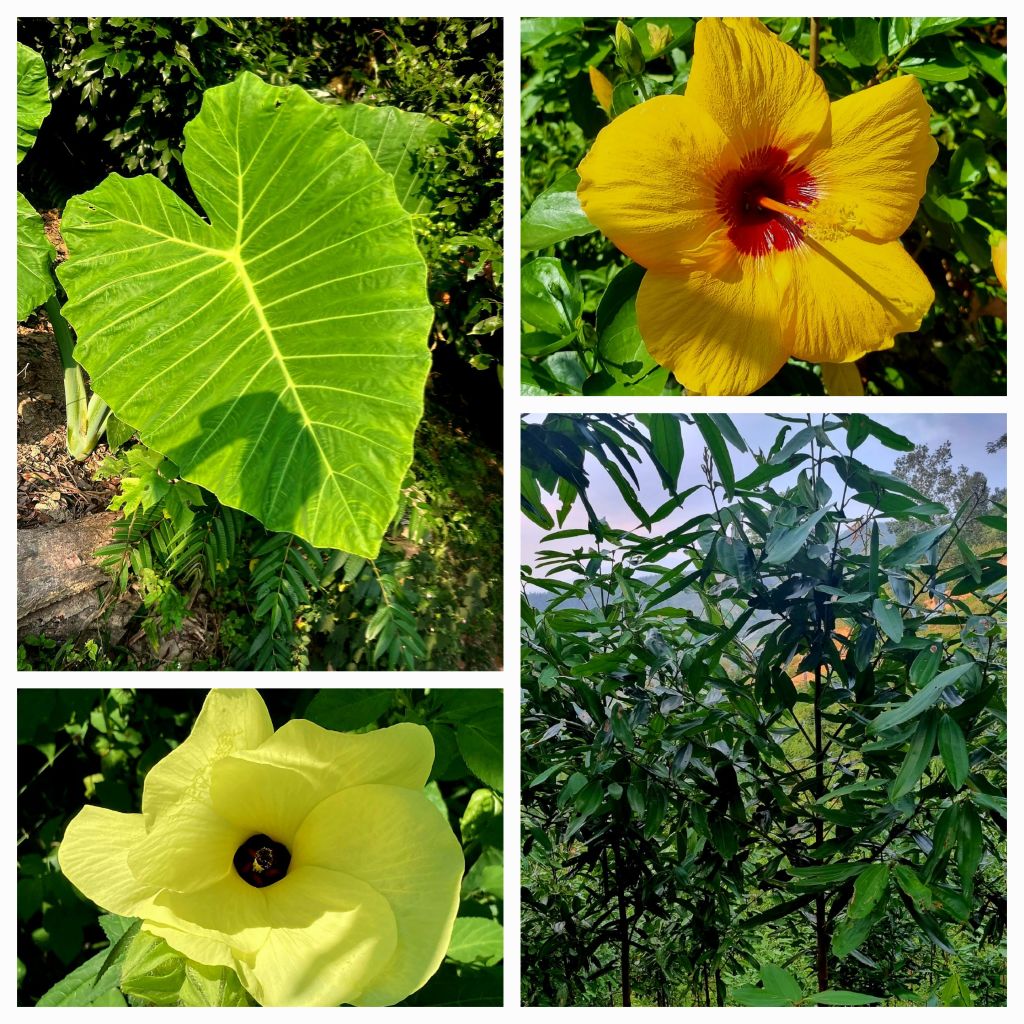
During our walk, we came across several beautiful flowers and also tapioca, cinnamon and hemp plantations.

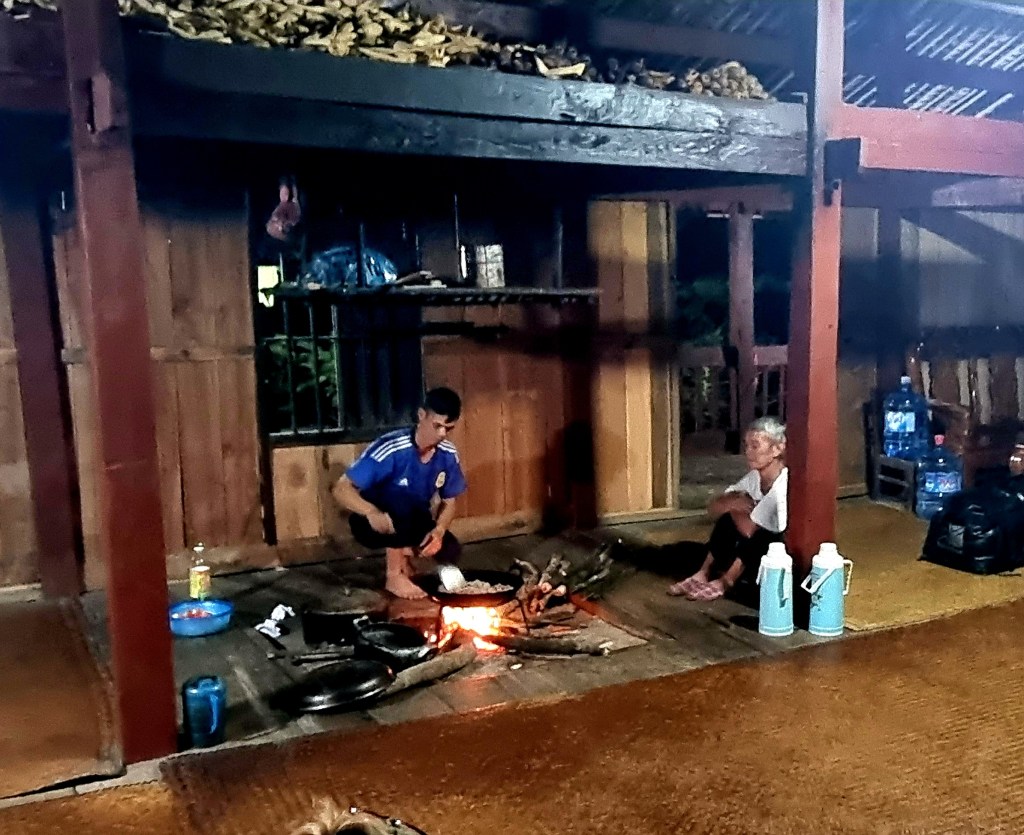
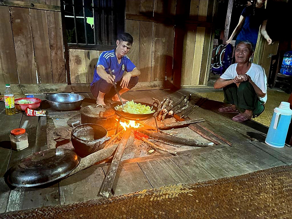
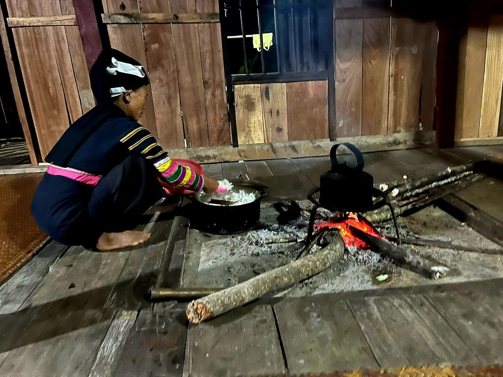
When we got back to the homestay, we had time to relax as the host family prepared our dinner over an open fire in the communal area.

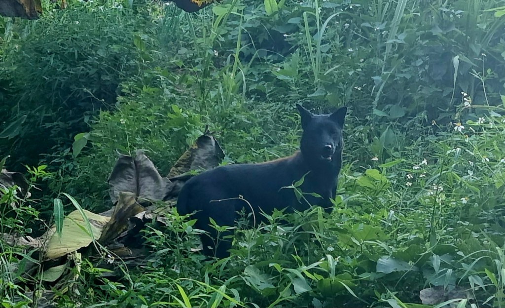
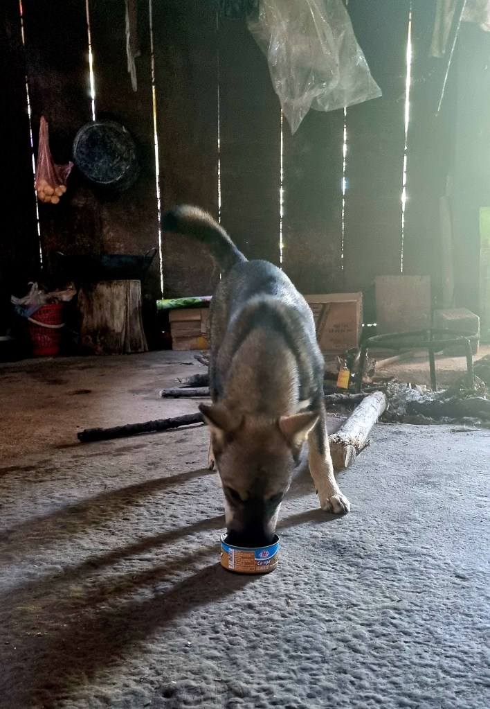
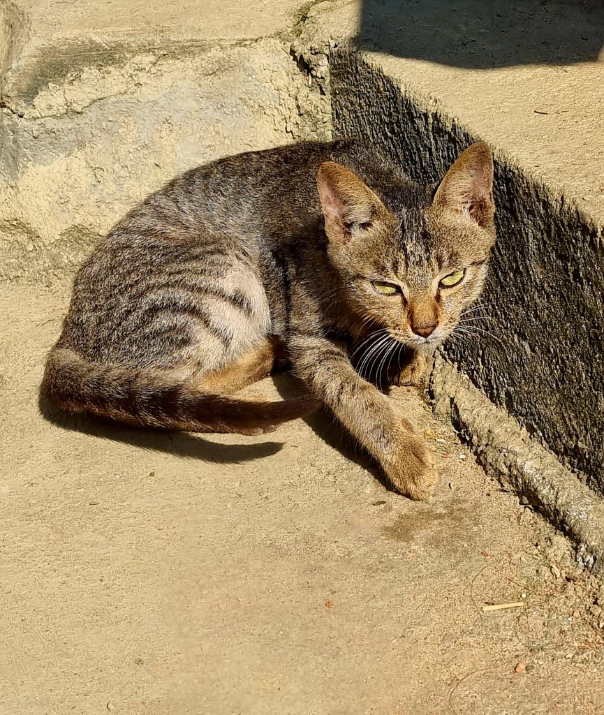
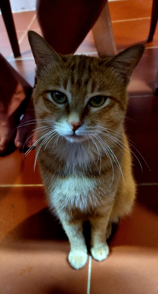
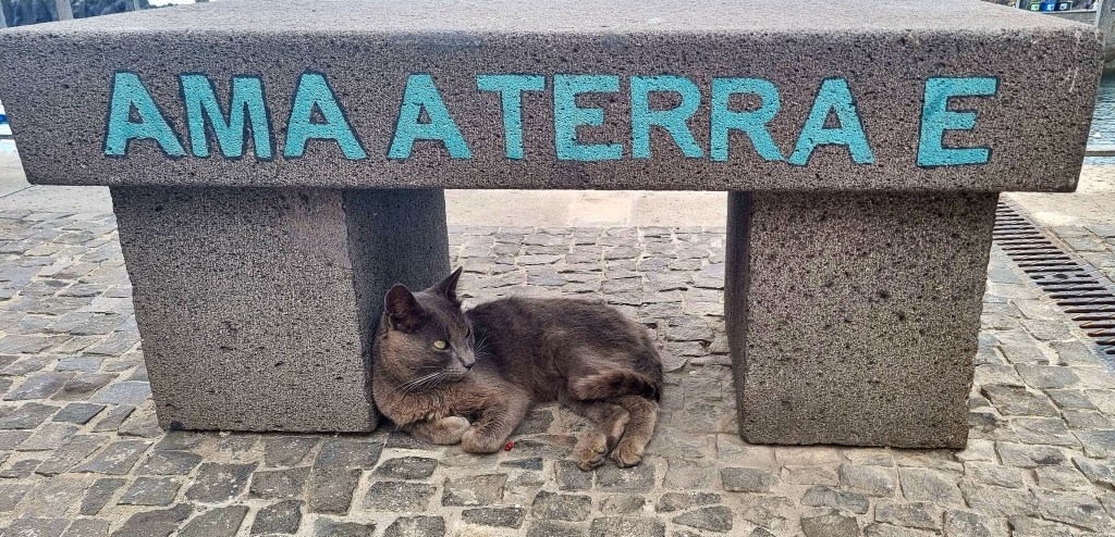
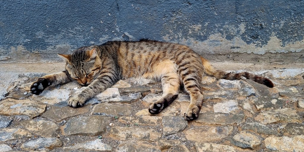
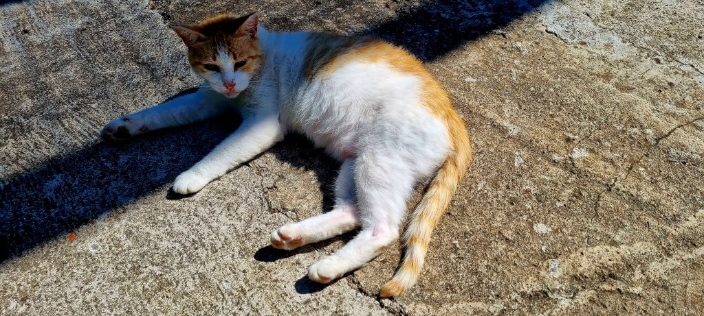
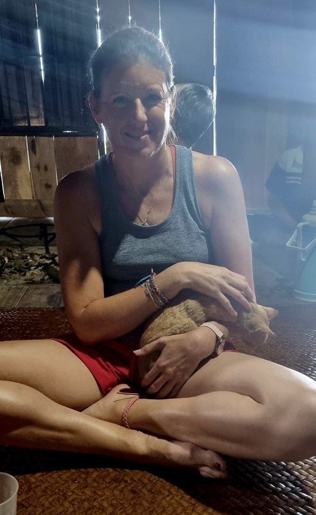
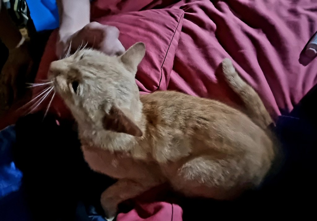
I made friends with the family’s cat, he was extremely friendly.

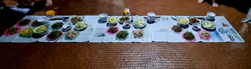
Dinner was served on top of newspapers laid out on the floor. It was very tasty.

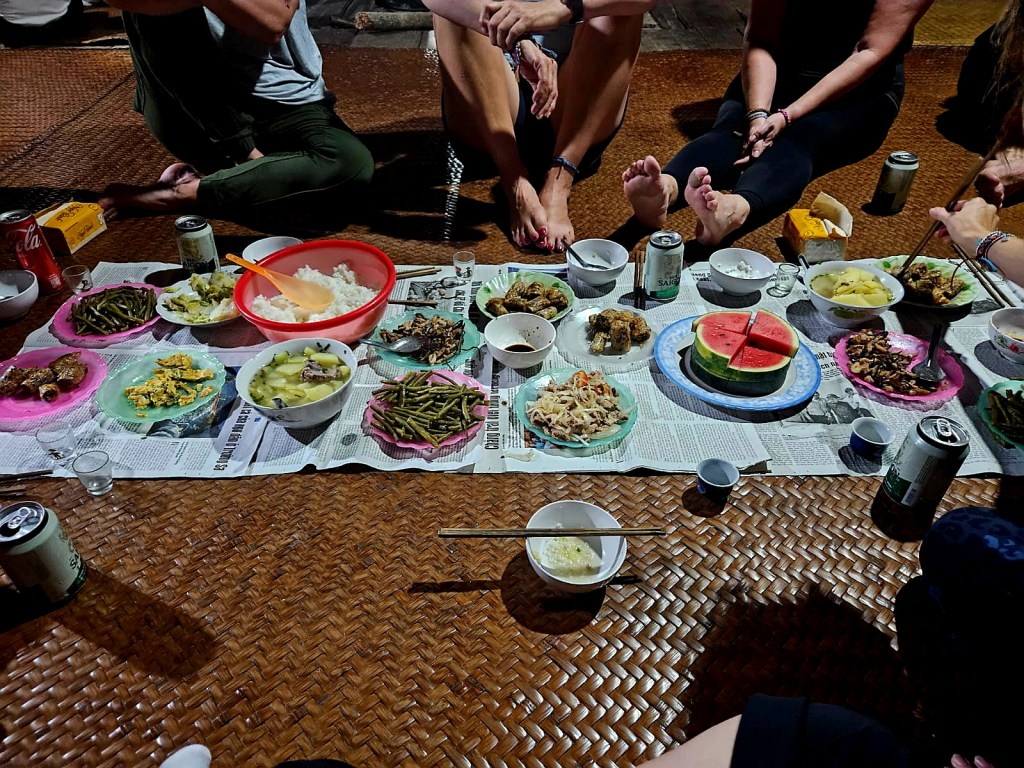
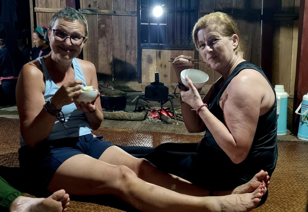
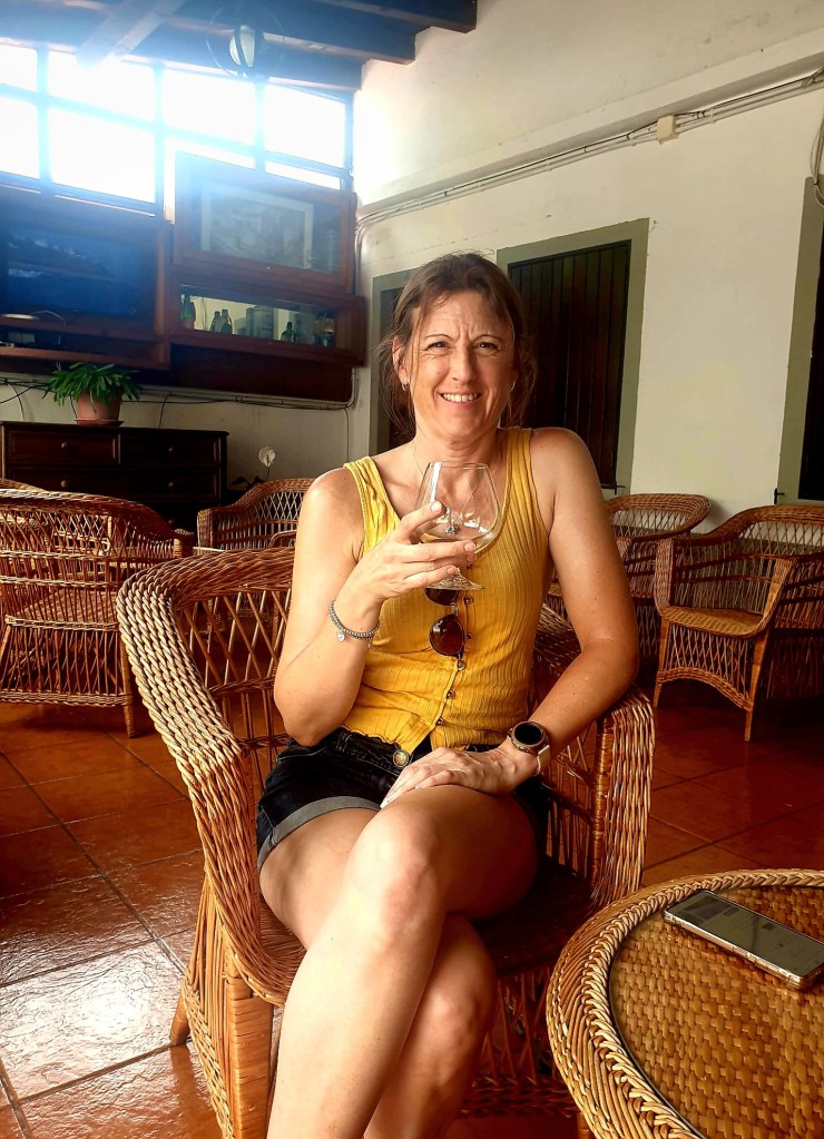
The host family invited us all to partake in some homemade rice wine – it tasted like schnapps. Both Chris and Jackie weren’t drinking, but the rest of us tried a glass or two. It was very strong.

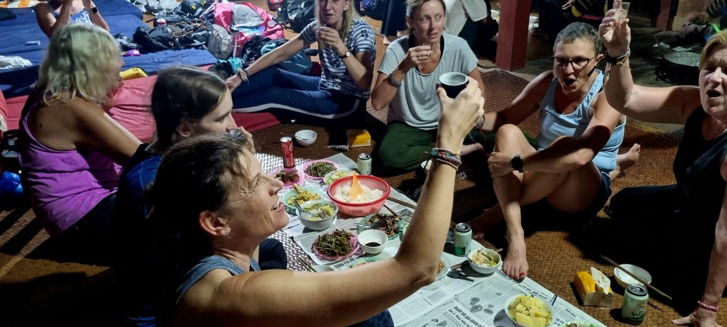
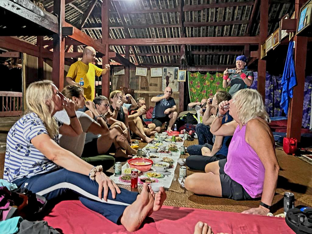
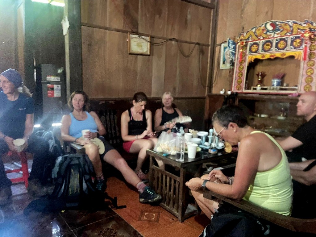
After dinner, we chatted for a bit before heading to bed.

Unfortunately, I had an extremely hard mattress, so I didn’t sleep that well. The family members slept behind us, just through the partitions.

Day 3 – Ba Be Hike

Today was a trekking day around the lake. Although we didn’t need to start our trek until around 8-830am we were all pretty much awake by 6am.

I took a few photos early in the morning before breakfast.

The family we were staying with were from the Black Tay tribe. The Tay tribe is one of Vietnam’s largest ethic groups. They are the earliest known minority in Vietnam, who are thought to have arrived from inland South East Asia about 500 BC.

The traditional dress for black tay women is made from indigo dyed cotton. It is usually plain, with little embroidery or other decoration. The women wear a simple shirt with silver buttons down the front teamed with black trousers.

In the morning, I also met the family’s pet dog, who was very friendly but got scared if there were too many people around.

After breakfast – delicious pancakes and freshly brewed coffee – it was time for our stretches and some group photos before heading off.

Our hostess waved us off as we got back on the boats to the starting point for our trek.

We travelled down the lake for a little bit and took some more pictures.

Once off the boats, we trekked uphill for a while as we climbed to the high massif overlooking the Ba Be Lake.

We passed through different types of vegetation: jungle, giant ferns, twisting lianas, and various crop plantations.

It was very hot and humid, which made the trek challenging. We passed through a small number of villages, home to Hmong and Dao people.

We also met several animals on the way. The cows, chickens and dogs all roam through the forests and villages.

We stopped for our packed lunch of rolls, tuna, laughing cow cheese, eggs, tomato and cucumber in a large shack. It used to be a homestay as well, but had very little business following covid. We made sure the dogs had some food, too.

We carried on walking through more amazing scenery, everywhere you looked it was just beautiful.

We had several snack stops and opportunities to take photos along the way.

We saw a lot of bugs and butterflies on the walk, too.

Most of the villagers grow rice or other crops. The rice grows for around three and a half months. It is then dried in the sun and stored. The rice seeds are planted, grown into a seedling, and then replanted somewhere else.

Shortly before we got back on the boat, we had to navigate a rickety bridge, and we stopped at a little place for a well-deserved cold beer.

On the way back to the homestay, the boats stopped so we could get off for a refreshing swim – the perfect end to a hot and sweaty hike.

I took some more photos of the lake as it was our last night here.

Our lovely hostess was there to greet us when we arrived home. It was then stretch time to make sure we didn’t get aching muscles.

We had another delicious traditional Vietnamese dinner before heading to bed for an early night.

Day 2 – Hanoi to Ba Be to Coc Toc

It was a fairly early start today. After breakfast at the hotel, we all checked out. I left a case with some of my non- trekking clothes at the hotel. We all piled onto the bus and set off on a 5-6 hours drive. There were 14 of us, including Nhan, our local guide.

During the drive, Nhan talked about Vietnam and gave us some interesting facts and figures:

  • Vietnam means Vietnamese people living in the south of China
  • Hanoi means city in the middle of a river
  • The population of Hanoi is around 9.5 million
  • 35% of the Vietnamese population live in the cities
  • The red river runs through Hanoi. The river  is a 1,149-km long river that flows from Yunnan in Southwest China through northern Vietnam to the Gulf of Tonkin. The red colour comes from the large amount of silt it carries, which turns the water a reddish hue during the flood season. However, the river is gradually losing silt, and the colour is fading. The river irrigates the many rice plantations in Vietnam.

After a couple of hours of driving, we arrived at the Ethnological Museum in Thai Nguyen. The bus was pulled over by the police as we had driven down a street where tourist buses were not allowed. The driver had to pay a fine, a bribe to the police, to allow us entry.

The Vietnamese population are made up of 86% traditional Vietnamese people, and 14% are from minority groups. There are 53 different ethnicitiesand many of these originally came from China. 5% of the population are Buddhist, and 6% are Christian or Catholic. Vietnamese are free to choose their religion, but many celebrate the lunar calander.

After wandering around the inside of the museum, we explored the beautiful gardens.

There were many Casuarina trees in the garden. These trees can stand waterless climates and can help to keep soil from erosion and can prevent string wind and sandstorm, protecting villages.

We visited the replica of the Poklong Grai Cham Tower, which was built in the 13th century on the peak of Trau Mountain. This tower consists of 3 towers; the main tower , gate tower and fire tower. The main tower is for worshipping King Paklong Grai, and every year, traditional festivals of the Cham take place here.

There was also a 50% restored miniature of the whale-worshipping temple in the garden. Whale worshipping is the specific trait of the belief of the people living along the north to the south coast of Vietnam. Every year, fishermen organise a festival and pray for good luck in their fishing, for protection and safety whilst fishing in the open sea. They also pray for peace.

It was very hot wandering around the gardens, so we decided to take a rest and drink a nice cold beer!

And then it was back to the minibus and another 2 hours driving before lunch. On the way, Nhan told us about how the Vietnamese bury their dead.
In Vietnam, the tradition is to bury dead people twice. The first time, they are buried in a wooden coffin. After 5 years, they are dug up, the bones are cleaned up, and they are then arranged in a ceramic coffin. They are then buried in a different place to the original hole.

For lunch we stopped at a local roadside cafe and the food was really nice and plenty of it.

And then it was back on the minibus for a bit more driving. Nhan spoke to us a little bit about how the country is governed. Basically, the general secretary of the communist party is the most powerful person, although there is also a prime minister and president. Members of the communist party ate highly regarded and you can obtain such a position by paying for it, being part of a family whete a family member is part of the party or by working for the government, such as a doctor or teacher.

Eventually, we arrived at Ba Be Lake.

Ba Be Lake is formed from 3 natural rivers and is the largest natural lake in Vietnam, covering 6.5km². The lake itself is actually three small lakes joined together – Pe Lam, Pe Lu and Pe Leng.

We were taken on boats to our homestay for the evening.

The scenery around the lake is gorgeous. The area was established as a national preserved forest and tourist centre in 1978, before being established as Vietnam’s eighth national park in 1992. It was recently recognised by UNESCO as the third Ramsar site in Vietnam – an important wetland of the world. Located 145m above sea level, the lake has an average depth of 20-25m, and its deepest part is 35m. The lake bed is made up of limestone with millions of crags and crevasses that are ideal for a large variety of marine life – there are over a hundred species of freshwater fish in the lakes.

We went through a large cave, which we were told was full of bats before seeing more beautiful scenery.

Not long after we arrived at Ba Be Retreat – our destination for the next 2 nights.

Gill had a new pet – a massive grasshopper attached to her shoulder.

After settling in, claiming our beds in the communal area, and putting up our mosiquito nets, we gathered together downstairs for dinner.

We also had the family’s cat join us, his name was Mon Mon.

The beds were actually really comfortable, and with an eye mask and ear plugs, I had quite a good nights sleep.

Day 1 – Arriving in Hanoi

This is actually day 1 and day 2 as we travelled from around 1pm on Saturday to around 7pm on Sunday evening, local time.

Mandy picked me up on her way to Heathrow, and we parked the car at a meet and greet car park. At the check-in desk we met up with Maxine and our Discover Adventure leader, Chris.

I had to wait for a while at the check-in desk because, for some reason, they hadn’t released all the seats, so there was nowhere for me to sit. But because of the delay, Mandy and I managed to get 2 seats together.

Once we were through security, we did a bit of shopping and then met up with some of the other people going on the trek – and another couple who were doing a different tour. Mandy and I shared a bottle of fizz to start the holiday in the right way!

The first flight to Ho Chi Minh was around 12 hours. I watched a couple of films and tried to sleep a bit.

The airport at Ho Chi Minh is like a maze with very little signposting. We had to pick out bags up and then drop them at the domestic flights terminal, but it took us a while to find it. And then it took us a while to find the departure area – but we got there eventually.

Unfortunately, our flight to Hanoi was delayed by around 3 hours, so we just sat around and drank coffee and chatted. The Vietnamese coffee is very sweet, and they use condensed milk, which makes it even sweeter.

Eventually, we boarded our flight to Hanoi, and that only took a couple of hours.

After a 45-minute drive in a minibus, we arrived at our hotel – Hanoi Botique Hotel.

We had a little bit of time before heading out for dinner, where we met up with Karen, Zoe and Gill, who had come out a few days earlier.

After a traditional Vietnamese dinner, which was delicious, we headed back to the hotel and went to bed.

Day 7 – Cámara de Lobos and home

Today was my last day in Madeira. Nicola had a really early flight, so we were up at 530am. so she could get her taxi to the airport. It was really sad to see her go, but we would be seeing each other a few days later in England.

Once Nicola had gone, I went back to bed for a couple of hours. At breakfast, I got talking to our host, Stefani, and she suggested a trip to Cámara de Lobos.

So after breakfast, I checked out of the room, leaving my suitcase at reception. I then walked down the hill into Funchal.

I hopped on a bus going to Cámara de Lobos, and on the way, we went past the church in Santo Antonio.

I got off the bus just outside the town so I could walk in via the bay.

It was a really nice walk, and I obviously made a furry friend along the way.

The area is used as an open-air boatyard, and the traditional fishing boats, Xavelhas, are repaired and painted here. The boats are morred during the day as most of the fishermen are fishing for the scabbard fish. These eel like fish only come to the surface at night, during the day they stay at depths of around 1500m.

The town is very pretty, with lots of little bars, shops and restaurants. The terraces are mainly used for banana plantations.

Amongst the bars is a little church, the Fisherman’s Chapel, Nossa Senhora da Conceição Chapel. This is where villagers give thanks for the safe return of the fishermen after a long night at sea.

I wandered around the bay. Cámara de Lobos was the first settlement on Madeira, between 1420 and 1424.

The name Lobos, meaning wolves, refers to the monk seals that used to live here and bask on the beach.

I carried on walking around the town. I was intending to go down to the beach, but they were doing some work on the promenade, and the path was blocked.

So , instead, I walked up the hill to Coroa do Ilheu. This sculpture was placed at the top of the hill in 2019 to commemorate 600 years since the discovery of the island.

The views from the hill were pretty impressive.

After a bit of time at the top, I walked back down to the bay, passing the Winston Churchill statue. Winston Churchill was invited to Madeira to the reopening of Reids Palace Hotel in 1950, after WWII. He and his wife took a trip to Cámara de Lobos, and he fell in love with the place. He found his favourite spot and started to paint. He was supposed to stay longer in Madeira but had to return after 12 days due to a general election being called.

After all that walking around, it was time for a little refreshment, so I ordered my last Poncha. This one was very lemony.

As I had quite a bit of time before I had to be back at the hotel, I decided to walk back to Funchal along the Cámara de Lobos promenade. This is 2.2km long and then connects with the Lido promenade in Funchal.

Part of the promenade is built on pillars to lessen its impact on the environment. I passed lots of lovely beaches on the way.

At one point, I had to walk through a small tunnel, the Doca do Cavacas tunnel, at Ponta da Cruz.

Eventually, I came to Funchal and the Lido Gardens.

From the park, I walked into the city past some of the lovely hotels and the marina.

I caught the bus back up to the hotel. I got changed and freshened up in the toilet before getting my taxi to the airport, Cristiano Ronaldo Airport.

Unfortunately my flight was delayed by over an hour so I had a beer and watched a couple of planes land.

I took a couple of photos as we took off as I was lucky enough to get a window seat.

I arrived home in the early hours of the morning and went straight to bed.

Day 6 – Sunrise and Monte

It was a very early start today as we were picked up shortly after 6am. We had booked a sunrise trip to Pico do Arieiro.

It was around a 40-minute drive to the mountain. As we drove towards the peak, you could see the outside temperature drop by about 8 degrees.

Once we had parked up, our guide Hugo showed us the hill where you could watch the sunrise. There were already quite a few people there, so we walked around for a bit and then picked a spot where there were no people in front of us.

It was cold and windy at the top of the mountain.

After around 20 minutes, we could see the sun start to rise above the clouds.

Maderia started to form around 18 million years ago, with lava bursting up through the ocean floor to create layer upon layer of basaltic rock. It took 15 million years for Pico do Arieiro to reach the height it is now.

Once the sun had fully risen, we walked around and took some more photos.

The views were absolutely stunning, and you could see the clouds rolling in over the peaks.

Pico do Arieiro is 1818m tall and is the third highest peak in Madeira. From here, you can look out over the other peaks, including the highest peak, Pico Ruivo.

We spent a little while at the top of the mountain, taking in the views, before meeting up with Hugo and heading back down. The photo below is looking back up to the peak.

Our second stop was at the Balcóes. This was a short walk from the roadside to a gorgeous viewing point through the Laurissilva forest.

Again, the views at the viewing point were amazing. You could see lots of laurel forest, which makes up around 20% of the island.

At the viewing point, there was a rock with a lot of bird seed on it, and the Madeira chaffinches were making the most of it. They were also very friendly and not frightened of us at all.

We walked back the same way we had come in and shortly after we stopped off for a coffee.

After coffee, we continued on our journey through Sáo Roque do Faial, which is one of the best cider producing areas on Madeira.

At Faial, we stopped at another amazing viewing point which is 26m above sea level. From here, you could see Penha de Aguia (Eagle Rock) and also an area where part of the cliff has fallen into the sea.

Faial is a small village named after a local beech tree – Myrica faya.

When we got back to the hotel, we had some breakfast before heading down into Funchal. Here, we took the cable  car up to Monte. The cable car station is a futuristic looking building made of glass and steel.

The cable car route replaces the old Monte Railway line. It opened in November 2000 and is 3,718m long and travels over 560min height.

The cable car travels high over the Joáo Gómez  valley.

The pink building in the photo below used to be a sanatorium, housing patients with TB.

At the top, we were in Monte, which literally translates as Mount. Monte was developed in the late 18th century as a genteel and healthy retreat from the smells and noise of the busy capital.

We decided to take a walk in the peaceful Monte Palace Tropical Gardens. This garden covers 70,000m². One of the first trees we came across was an old olive tree that was planted by the Romans in 300 BC.

Throughout the park, there are lots of different areas and different sculptures. It also houses one of the most important tile collections in Portugal.

We stopped at the Verona balcony, looking for Romeo!

There are also quite a lot of Japanese influences throughout the garden.

The garden contains over 100,000 plant species from around the world.

The garden also has some resident flamingos and swans.

The large lake in the middle of the garden is beautiful.

Monte Palace Gardens dates back to the ownership of an English Consul in the 18th century. Around 100 years later, the estate was bought, and a mansion built, which was later transformed into Monte Palace Hotel. In the 1980s, entrepeneur José Bernardo bought the property to realise his dreams of building a large public botanical garden.

We stopped in the Blue Cafe to have a Madeira wine that was included in the entry price before leaving the garden.

Our next stop was the church, Nossa Senhora do Monte. This church was inaugurated in 1818 and replaced a 15th century Chapel built by Adam Ferreira, the first person to be born on Madeira along with his twin sister Eve. It was rebuilt after the Earthquake in December 1818.

On the Feast of the Assumption, pilgrims climb up the church steps on their knees to pay homage to the statue of the Virgin Mary.

The church houses the tomb of Emperor Charles I of Austria, and there is a statue of him outside the church. Charles I was Emperor of Ausyria and King of Hungary, but when the empire was dissolved in 1918, he was forced into exile. He came to Madeira with his wife in 1921. He lived in a mansion in Monte until his death from pneumonia in 1922.

The church is beautiful on the inside. The ceiling is decorated with paintings, the main one showing the coronation of the Virgin Mary. The main image on the alter area is also of the Virgin Mary.

From the church, we walked back down to where the Toboggan rides began. Here, there is a drinking fountain built in 1777 by the former English consul of Funchal.

There was quite a long queue for the Toboggan ride, but it’s a ‘must do’ experience. As we were waiting, we tried to take some action shots of other people in the toboggans.

The toboggan ride is in traditional wicker basket sledges which date back to early 19th century where they were used as a means of transport by the local residents who wanted to travel quickly from the village of Monte to the city of Funchal. The distance is around 2km, and the toboggans are steered by carreiros.

The toboggan ride ended just at the top of the road where our hotel was, so it was a very short walk home.

Back at the hotel, we freshened up and finished our bottle of Madeira wine before heading back into Funchal.

Nicola posted the cards she’d written before we walked through Zona Velha to find somewhere to eat. We decided on Estrala do Mar.

After a starter of Poncha and shared Bodo, we ordered a prawn and monkfish cataplana. It was delicious. Cataplana is a typical dish from the Algarve and is a bit like a stew.

We didn’t stay out too late and treated ourselves to a taxi home.

Day 5 -Valley of the Nuns

We no longer had a car, so we decided to catch the bus to the Valley of the Nun’s. We walked down the hills into Funchal.

We had planned to get the bus from the waterfront area, but there was a cycling race going on, and the road was closed to traffic. So we decided to watch the cyclists for a little while.

The guy below was the clear winner, he was way ahead of anyone else.

We realised that the race wasn’t finishing anytime soon. We used Google translate to read the printed notice on the bus stop, which told us the amended route and where to get the bus from.

On the way, we walked past the memorial to all healthcare professionals and others who faced the covid-19 pandemic.

We got on the bus by the old market, the weather was looking a bit grey.

The bus took us up several windy roads to the viewpoint above the valley. From the carpark, we walked up to the viewpoint, Eira do Serrado, where you could see a serrated ridge with 3 peaks: Pico do Cavalo, Pico do Serradinho and, the highest peak of Pico Grande.

Originally, it was thought that the valley, Curral das Freiras (translates as sisters’ farm) was a collapsed volcano, but the circular form is actually a result of millions of years of river and rain erosion.

As the next bus wasn’t due to arrive for a couple of hours, we decided to take the cobbled and stony and sandy footpath down to the village. This path allegedly has 52 bends.

It was actually really hot walking down, even though the weather forecast had suggested otherwise. The woods on the way down were a mixture of chestnut woods and natural laurel forest.

The hidden valley was used by the nuns of Santa Clara Convent whenever pirates attacked the island. They used to go to the valley with the treasures from the church during the attacks, particularly in 1566. At the time, there were no roads, just a footpath.

Once we got to the village, we went to visit the church, Igreja Matriz, which dates from the early 19th century.

The stained glass windows inside the church were beautiful.

There was also some nice street art outside the church.

We walked past one of the remaining nuns’ houses.

We got the bus, and it went a slightly different route home. The views, as always, were amazing.

When we got off the bus in Funchal, we walked past some more interesting artwork.

We also visited the Chapel of Santo Antonio da Mouraria. This used to be situated inside the former walls of custom house in Funchal and was ordered to be built in 1715 by the chief judge at the time, who is buried inside.

From here, we walked into the city centre and decided it was time for a cocktail, so we stopped at the Golden Gate Grand Cafe. The first drink we tried was a Bob Marley – it was a little bit too sweet.

Next, we had a cocktail we knew we both liked, a mojito.

The cafe had some delicious looking pastries and ice cream, and we were serenaded by a man playing his violin.

After going back to the hotel and freshening up, we caught the bus back into Funchal. We had booked to do some rum tasting in the Zona Velha.

We both had the premium tasting, which included different aged rums and some snacks to go with them. Our favourite was one of the 12 year old rums.

We hadn’t booked anywhere we went for dinner, so we literally walked scross the road to a Mexican restaurant. I had some mixed tacos, which were delicious.

We saw a cute dog on the way to the taxi rank.

Day 4 – Levada walk and pools

Today, we decided to do a Levada walk. One of the best and most popular ones we could find was the 25 Fountains trail starting at Rabacal.

So after breakfast, we drove over to the car park close to where the walk begins. There were a few cows just wandering on the roads as we drove along.

When we parked up, it was quite cold and windy, so I put all my layers on!

The trail was well signposted, and we had to walk around 2km from the car park to the start of the trail. But the views were already pretty good.

Once we got to the start, there was a board showing the trails and signs telling us which direction to go in.

We decided to go and see the waterfall at Risco and then do the 25 waterfall trail.

The area we were walking in was all laurel forest. These forests survived the ice age and can now only be found on Madeira, the Canaries, the Azores, and in tropical West Africa. They are known in Portuguese as laurissilva.

The Levadas are a system of canals or aqueducts, many km in length, built through the mountains and along the faces of steep rocks, to carry water from its origin to where it is needed.

From the 15th to the 16th century, the levadas were built in the coastal areas, extending to the agricultural zone, which was around 300m above sea level. They were not very long and were mainly built in volcanic tuffs or with wooden boards.

From the 16th to the 18th century, with the increase in agriculture, the network of levadas grew and extended to 600m above sea level. They started to be built in basaltic stone masonry. The workers building the levadas faced many dangers, including falling off rocks and being hit by falling rocks. Where it wasn’t possible to pass, the workers were placed in baskets tied to trees or rocks. Quite a few of them died.

In the 19th century, the state started to fund the building of the levadas. Until then, they were built at the expense of the owners of the springs or those who wanted the land irrigated. In some cases, several people came together to form an association to build them.

During the 20th century, as the tunnel network began to be built, this helped water to move from the north to the south. The levada network started to extend to 1000m above sea level.

After a little while of walking, we came to the Risco waterfall. The waterfall is 100m high and is made up of different water streams coming down the rocks.

The waterfall was pretty stunning, so we spent a bit of time here admiring the view. All around the trail, by the waterfall, the water was running or dripping down the rocks. We also saw some local birds, I think they were chaffinches.

Once we headed back from the waterfall, we took the path to the 25 waterfalls. This path goes through some thick forest, and some of the path ledges are very narrow, making it difficult to pass people coming in the other direction.

I managed to bump my head a couple of times on the low hanging branches as I was looking at the route on my phone.

The network of levadas in Madeira consists of approximately 3100km of channels, of which around 80km are in tunnels. The levadas feed on the water from the springs, the flow of streams, and from the water captured in the gullies in the rocks. The levadas have to have a minimum slope of 1/10000m to ensure the water flows.

After a while, we reached the 25 fountains! This weeping wall of waterfalls is something special.

It was quite busy in the area, and a couple of ladies decided to go for a quick dip.

We headed back to try and do a circular route, but one of the paths we wanted to go down was cordoned off. After looking on maps.me, we decided on another route. Unfortunately, we didn’t realise how steep it would be. It was just walking up steps for around 30 minutes!

Eventually, we got to the top. The path that was supposed to go off to the left didn’t actually exist, and after walking for a while at the top of the mountain, we realised it would take us around 3 hours to get back to the car park. The views from the top were good.

Looking at the map again, we could see that if we went back onto the road, we could walk along the road to the car park, taking about 90 minutes.

We walked for around 20 minutes on the road. If we heard a car go past, we stuck out our thumbs, and after 4 or 5 passed us, one actually stopped. It was a fairly young German couple, and they dropped us back to our car, we were very grateful.

We passed some more cows on the road as we headed to Porto Moinz, the most northwesterly point of the island.

Porto Moinz is a lovely coastal town and is named after one of the first settlers on Madeira: Francisco Moniz O Velho. He was an aristocrat from the Algarve region.

There is a small island right by Porto Moinz with a lighthouse at the top, 62m above sea level. The island is a lava dome that has partially fallen into the sea because of erosion.

Porto Moinz is best known for its natural pools formed from the volcanic rocks. We paid them a visit and had a little swim, as well as getting battered by the giant waves as they broke against the rocks.

On the drive out of Porto Moinz, we passed Ribeira Janela beach and an interesting ‘window’ rock formation (not my photo).

The views from the road were amazing.

After arriving back at the hotel, we let the car company know the car was ready to pick up before we headed out to Funchal by bus. I managed to get a picture of the whale painting on the wall of the office that we always pass on the bus.

We had dinner at the Piano Bar on Santa Maria Street. We had sardines with Poncha and wine.

When we got home, we had a little glass of Madeira wine as we admired the moon.

Day 3 – East Coast

Today, we started off by visiting Christ the Reedemer. This was the first of this type of statute to be erected in the world. It is smaller than the one in Rio. The statue was built in 1927, four years before the one in Brazil. It is built on this point to commemorate the area, as this is the place where non catholic Christians were thrown from the cliffs as only Catholics were allowed to be buried on the island until 1770. It is 15m tall (including the pedestal).

The views from here were impressive, too.

At the bottom of the cliff where the statue was is Garajua beach. This beach marks the start of the marine reserve, which extends for around 6 miles. The name Garajua comes from the Portuguese name for the terns, which still fly around in this area. We decided to take the cable car down to the beach.

Legislation was passed in 1986 to create the marine reserve and to stop desertification of the seabed and to enable repopulation in terms of marine fauna. It is the only exclusive marine reserve in Portugal.

The water was a little bit chilly, but there was lots of marine life, so we did quite a bit of snorkelling.

The main fish we saw in the water was the Grouper. These are naturally curious fish, and they swim quite close to you.

Luckily, Nicola bought her underwater camera with her as my GoPro has stopped working.

We saw lots of different fish, including colourful parrot fish, Atlantic blue tang and many others.

We could only stay in the car park for 3 hours, so after a couple of swims we took the cable car back up to our car.

From here, we headed to Ponta de Sáo Lourenco, the eastern tip of the island. As we drove along, we drove under the runway extension.

Porta de Sáo Lourenco is a partial nature reserve and is named after Zarco, the explorer’s ship. The peninsula is linked underwater to the nearby uninhabited islands (Desertas Island).

At the start of the trail, you are supposed to pay online, but neither of us could get this to work, so the guy just let us through.

We didn’t do the whole of the trail, but we walked for a bit, and the views were amazing. The area is made up long, eroded volcanic cliffs and ravines.

After wandering around for a while and admiring the stunning views, we headed back to the car. Before we left, we took some more photos.

Our next stop was Santana, but on the way, we passed some lovely towns nestled on the coast.

Santana is a shortening for Santa Ana (St Anne), and the area is well known for the traditional timber and thatch houses known as palheiros. These houses are constructed with sloping triangular rooftops and protected with straw. These were mainly rural homes, used by local farmers, during the settlement of the island, with white-painted walls, red doors, and windows with blue trim. Most of the surviving buildings are tourist attractions and are well maintained.

The houses were very compact inside, and they didn’t really have a bathroom or kitchen.

Settlement took place in Santana around 1550, with the main settlers coming from the North of Portugal. Santana parish ended up being created by the royal decree of 4 June 1552. In 1835, it was converted from a town to a village, and on 1 January 2001, it was granted city status. This can be seen on the date on the City Hall.

There is also a memorial to commemorate the building of the Santana council offices in 1958.

Santana is a very pretty city and definitely worth a visit.

Our final stop of the day was Ponta Delgada to see the Church of the Good Lord (Bom Jesus). Legend has it that a fisherman was fishing in the sea and found a crucifix. Along with other fishermen, the man took the crucifix back to the village, but it mysteriously disappeared. Later, the fishermen found it in a cane field close to the sea. After this, the men of this village built a chapel for the Good Lord Jesus next to this cane field, which later became the present church. The church interior is in the Baroque style with a beautiful painted ceiling.

There was also a cemetery next to the church.

From here, it was about an hour’s drive back to where we were staying. Again, the views on the way home were really nice.

When we got home we decided to eat our ‘delicious fruit’. Unfortunately, we had left it too long, and it had dried out and wasn’t that tasty anymore.

In the evening we got the bus into town and went to the Espaco restaurant. On the way, we walked past the ‘old gate’. This is a reconstruction of the city’s old wall gate. It was built in 1689 but demolished in 1911 when the city was reconstructed to allow traffic through. It was reconstructed in 2004 and contains some of the original elements, such as the crown, the royal arms, and the inscribed stone.

At the restaurant we had a very delicious Maderian meal of beef skewers.

This was washed down with Ginja – a cherry liqueur, as well as a very strong Poncha and wine!

Day 2 – South and West of the island

After another delicious breakfast we waited for our car to arrive. We had booked through 7m rentacar. They were supposed to deliver the car at 9am and after several unanswered calls, the car eventually turned up around 10:30am. I would definitely not recommend this company!

We had ordered a Fiat 500, which was very cute, but we soon realised it was not great for getting up the very steep hills in Madeira!

Once we had packed the car with everything we might need, we drove off. Our plan had been to stop at Cámara de Lobos, but due to my navigation skills, we missed the turning, so we carried on to Cabo Giráo.

On the way, we stopped at a viewing point.

We parked the car a little distance away from the cliff and walked up.

Cabo Giráo is the highest sea cliff in Madeira at 580m tall and allegedly, the second highest in the world. It has a glass viewing platform that goes out from the cliff edge so you can look directly down the cliff.

From the viewing point, you can look down onto a rock platform created when the cliff face fell into the sea many years ago. The farmers cultivate crops here in very neat terraces.

Our next stop was Ribeira Brava, which translates to ‘wild stream’. This is one of the oldest towns in Madeira and was well established as a centre for sugar production by the 1440s.

We found a car park, they are very cheap in Madeira, and walked into the town. We came across Sáo Bento church.

The story is that many years ago, the river was threatening to overflow and break its banks. The parish priest, along with his parishioners, carried the statue of St Benedict to a place called Bagaceira. Here, the priest threw the staff from the statue into the river where it had started to overflow, and the waters quietened down. The staff was later found washed up in the churchyard.

We wondered down to the seafront where there was an old Fort that is now used as a tourist office. The fort was built in 1780 by the Governor of Madeira to protect the coast from pirate attacks. This Fort of St Benedict was largely destroyed in the floods of 1803 but has since been restored.

On a cliff above the sea, there is a lighthouse, which is 34m above sea level.

We had a walk around the town and the seafront. They had a small bathing area here, but we didn’t fancy a swim at this point.

As we walked back to the car, we came across another church.

Unfortunately, Nicola slipped on the steps by the side of the church and slightly twisted her ankle. We were both pretty worried as this could mean I would have to drive!! I’m used to an automatic car and driving on the right! Luckily, though, Nicola’s foot was ok for driving, although it did hurt sometimes when we were walking.

We filled our water bottles up right by the church. Throughout Madeira, they have water taps in all the towns.

As we got back to the car, we noticed that the building over the road was very different – it was made up of lots of heads.

We drove on a bit further up the coast to Calheta. The main reason for coming here was to visit Engenho da Calheta, one of Madeira’s two surviving sugar Mills.

After some difficulty, parallel parking the car on a very steep hill, we walked across to the sugar mill. It was free to have a wander round inside.

This sugar mill manufactures aguardente (rum) using distilled sugar cane, as well as producing honey. So, as we were there, I decided to try an 8 year old rum. It was really nice and smooth – and also very expensive.

The views looking out from the sugar mill were also impressive, like much of Madeira.

Next door to the sugar mill was the parish church of Calheta, Espirito Santo. This church is a scaled down version of Funchal Cathedral. It, too, has a very decorated knotwork ceiling above the alter.

It also contains a beautiful carving of the last supper.

Our next stop was Ponta do Prago, which is Madeira’s westernmost point. From here, there is 500km of water before you hit land again – the Americas.

The lighthouse dates from the early 20th century and is on the cliff, 290m above sea level.

We did have a quick look inside the lighthouse, but it wasn’t particularly interesting.

The name Ponta do Pargo comes from early explorers who fished in the western waters and caught a fish species of porgy, which is similar to sea bream.

A cat was chilling just by the lighthouse.

The roads in Madeira are really steep and windy – I was glad I wasn’t driving. They were also quite pretty, with lots of flowers and woodland, including eucalyptus trees, by the sides of the road.

Our final stop of the day was Achadas da Cruz. We wanted to come here to go in the cable car and also to explore the farm huts in the area. The cable car glides over the edge of a 450m cliff, down to a rocky beach below. This is one of the steepest cable cars in Europe. It runs on a 98% slope, with a travel time of around 5 minutes on a 600m long wire.

Local farmers have little houses down here, and they work the land. I am not sure if people live here permanently as you are allowed to walk around the tiny ‘village’.

The high agricultural productivity of this area was one of the main reasons for the creation of the cable car, which helps farmers reach the fields and transport their harvests.

At the top, when we got back out of the cable car, I found another furry friend.

From here, it was time to head home, around an hour’s drive. Madeira has an interesting road network with over 150 tunnels cut into the rock, taking you through the mountains. The tunnels are around 45km in length in total, and the longest one is 3km long.

After arriving home and a quick freshen up, we got the number 19 bus to Santa Maria Street. We picked a fish restaurant for dinner, and the food was delicious.

Santa Maria is a great street for dinner as there is a lot going on and a lively atmosphere.