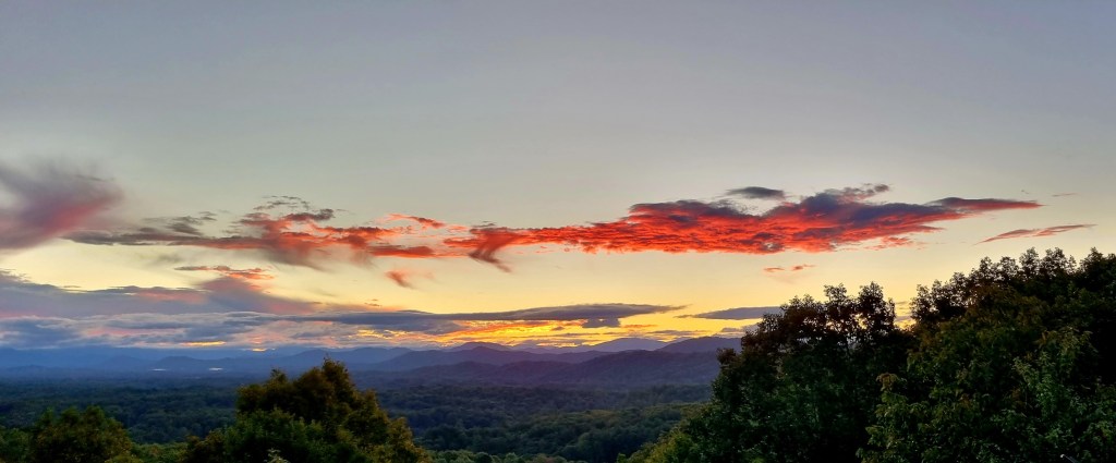
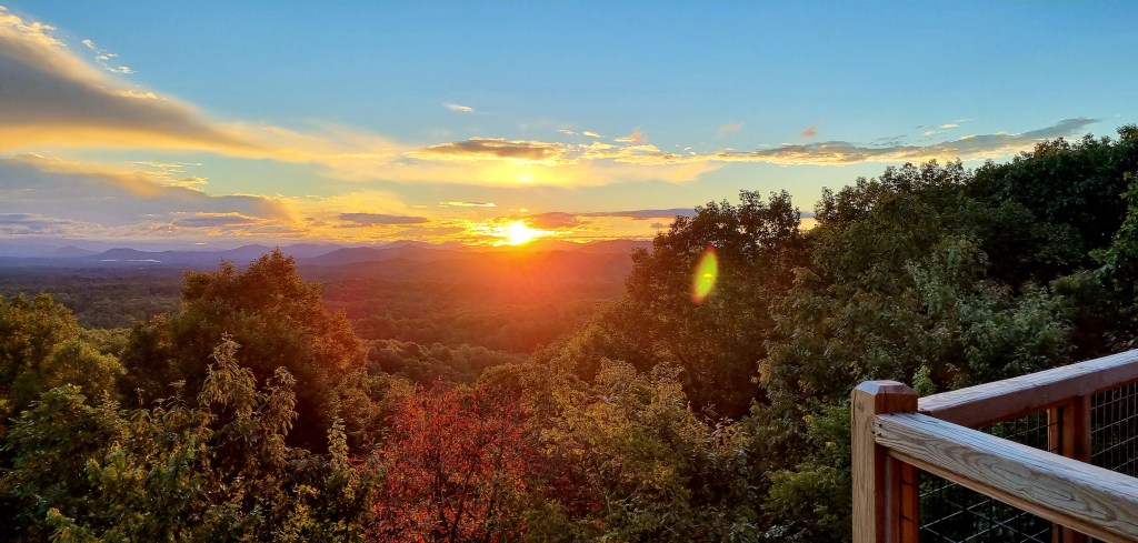
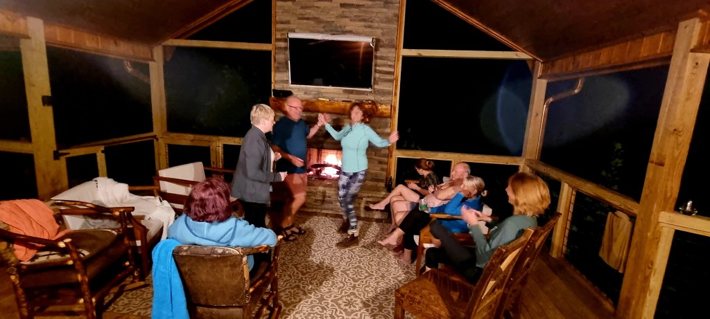
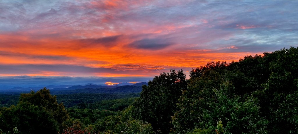
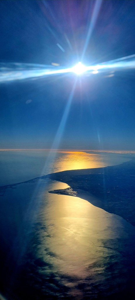
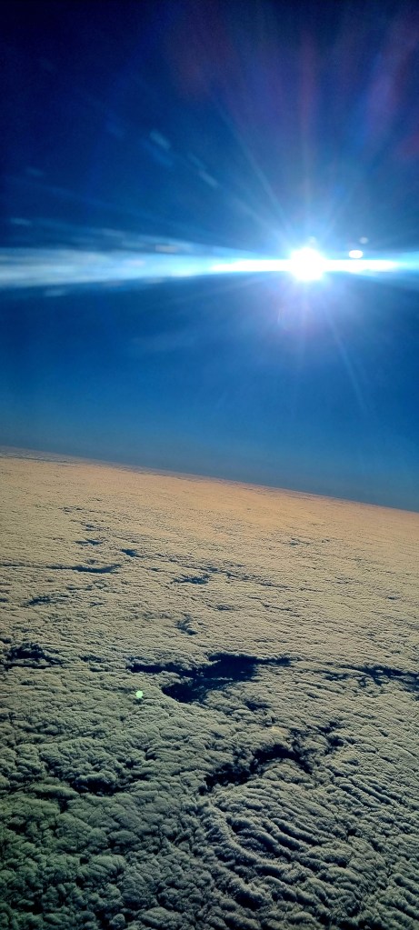
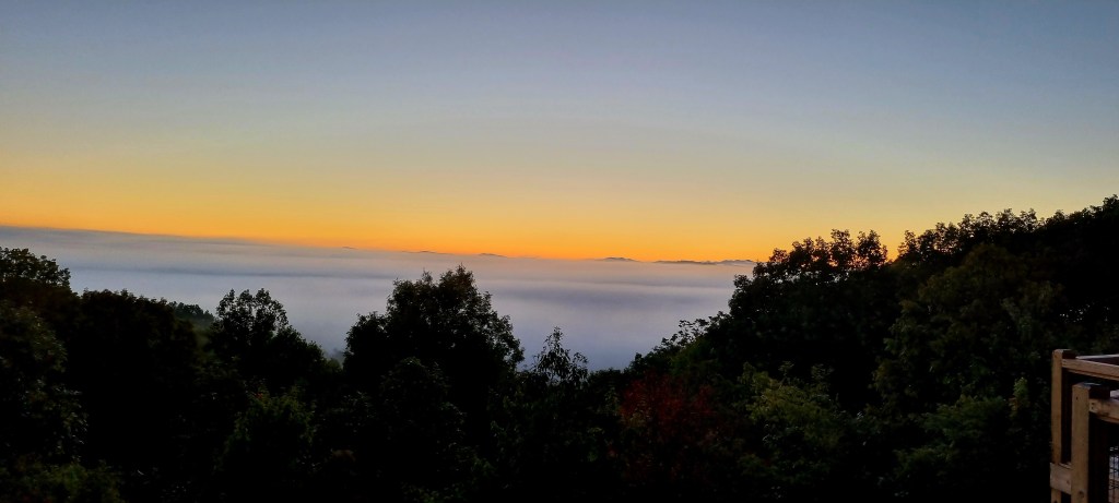
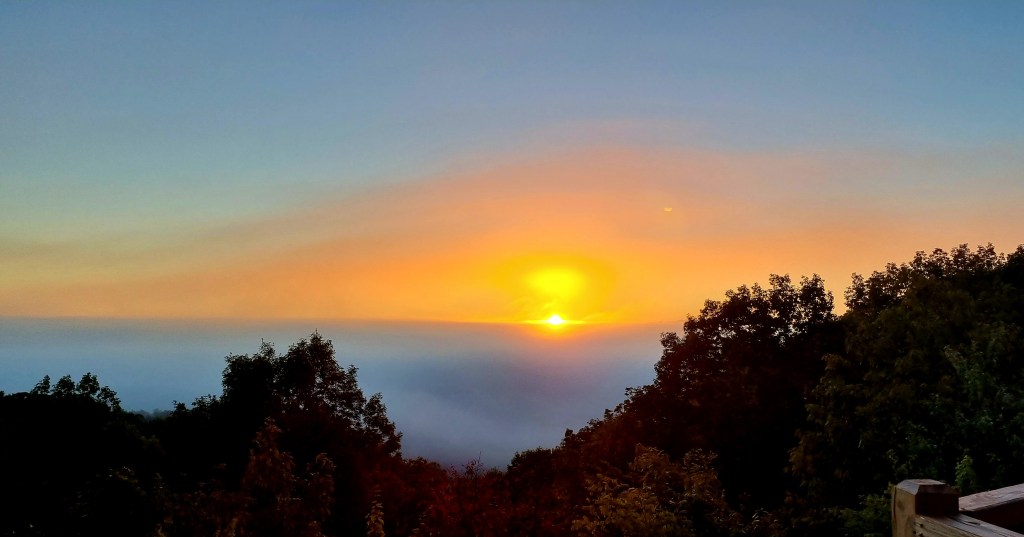
It was the early hours of the morning before the party stopped but I was still awake early and up to see the sunrise.
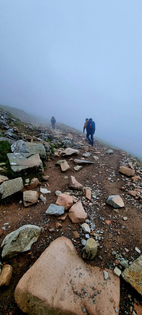
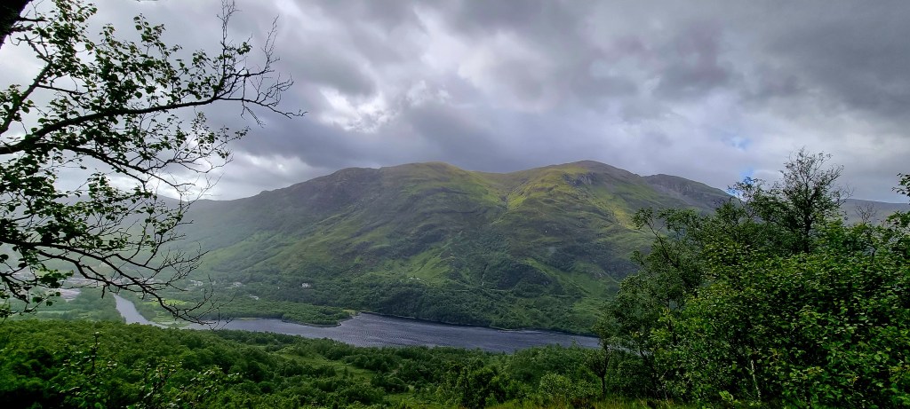
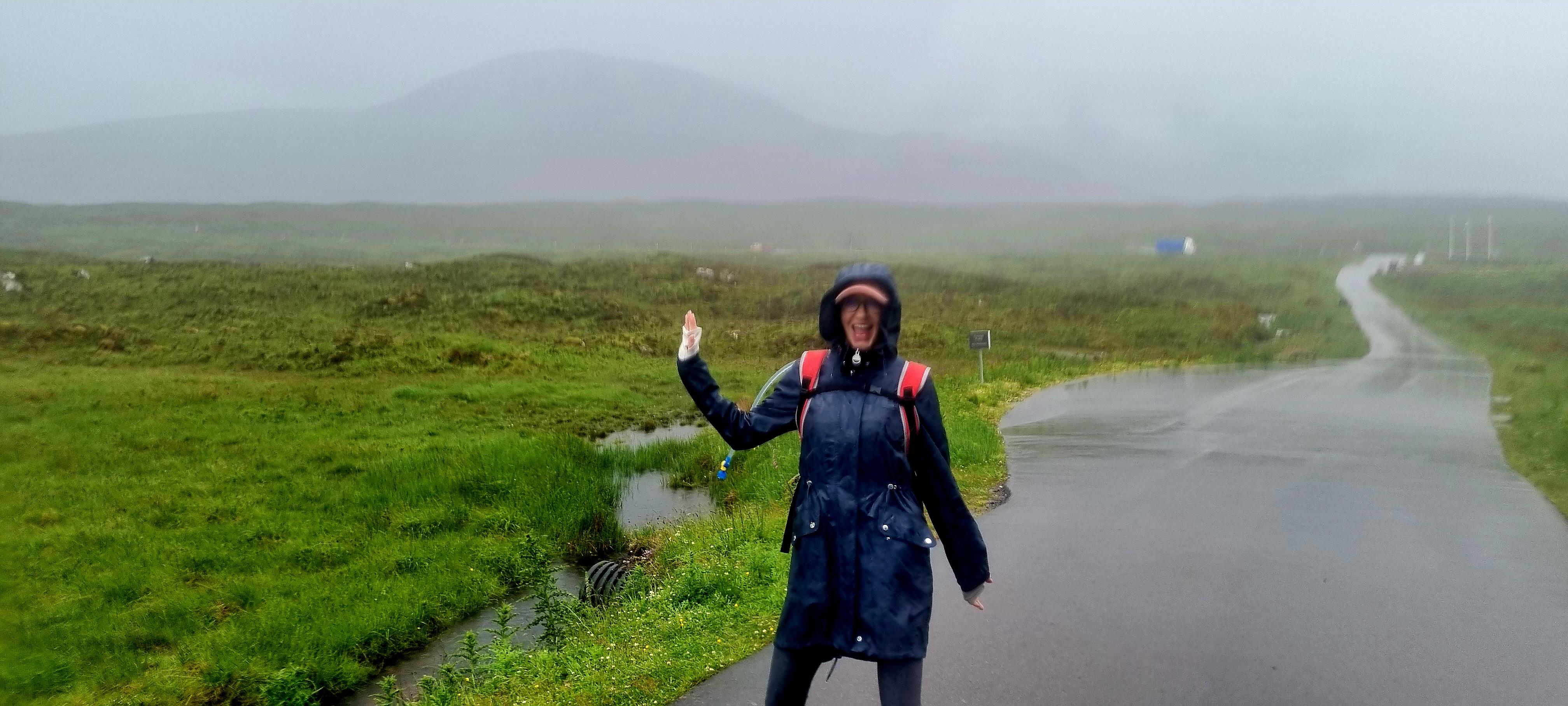
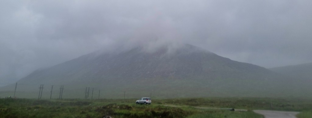
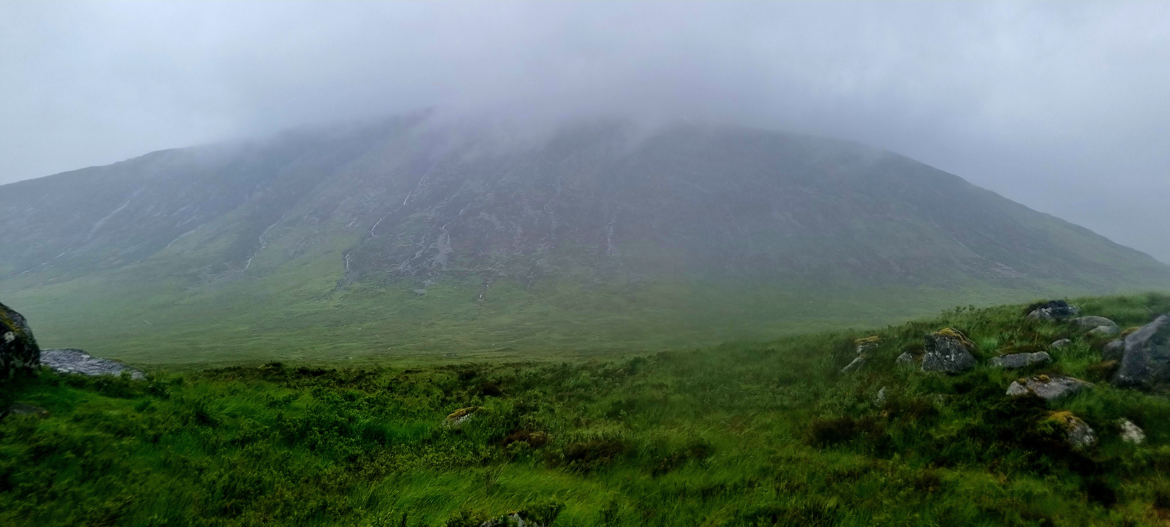
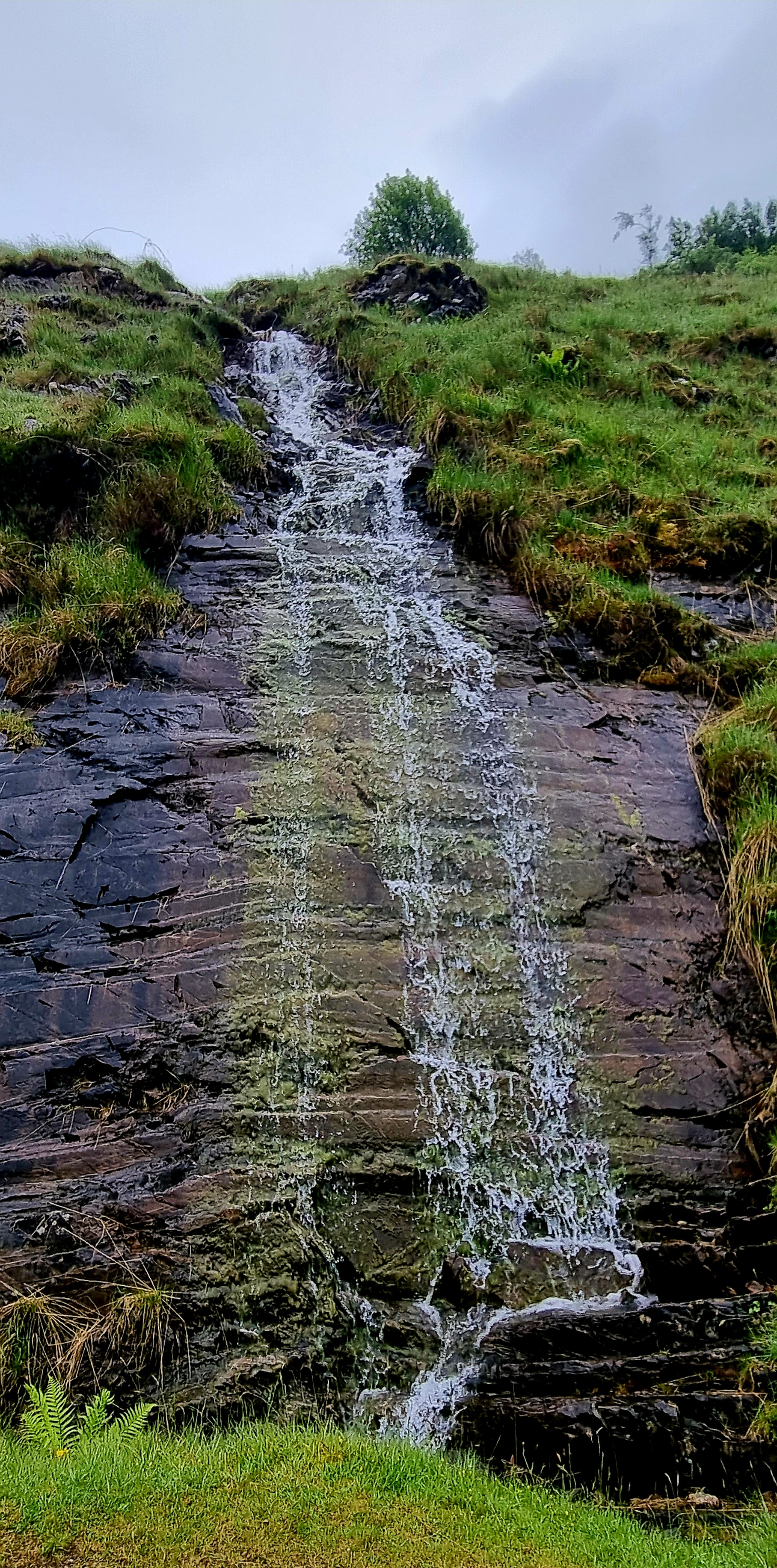
It had rained in the night so it was a bit of a misty morning.
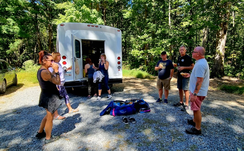
We made a lovely breakfast of pancakes and bacon with eggs and maple syrup. And then we packed everything up and loaded up the bus.

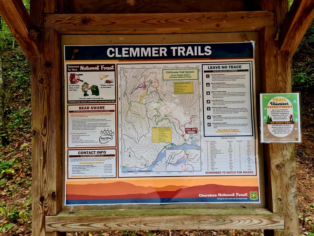
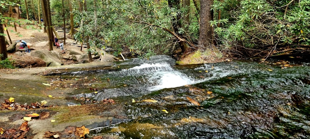
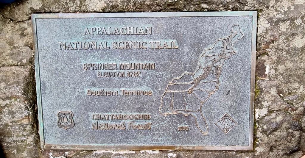
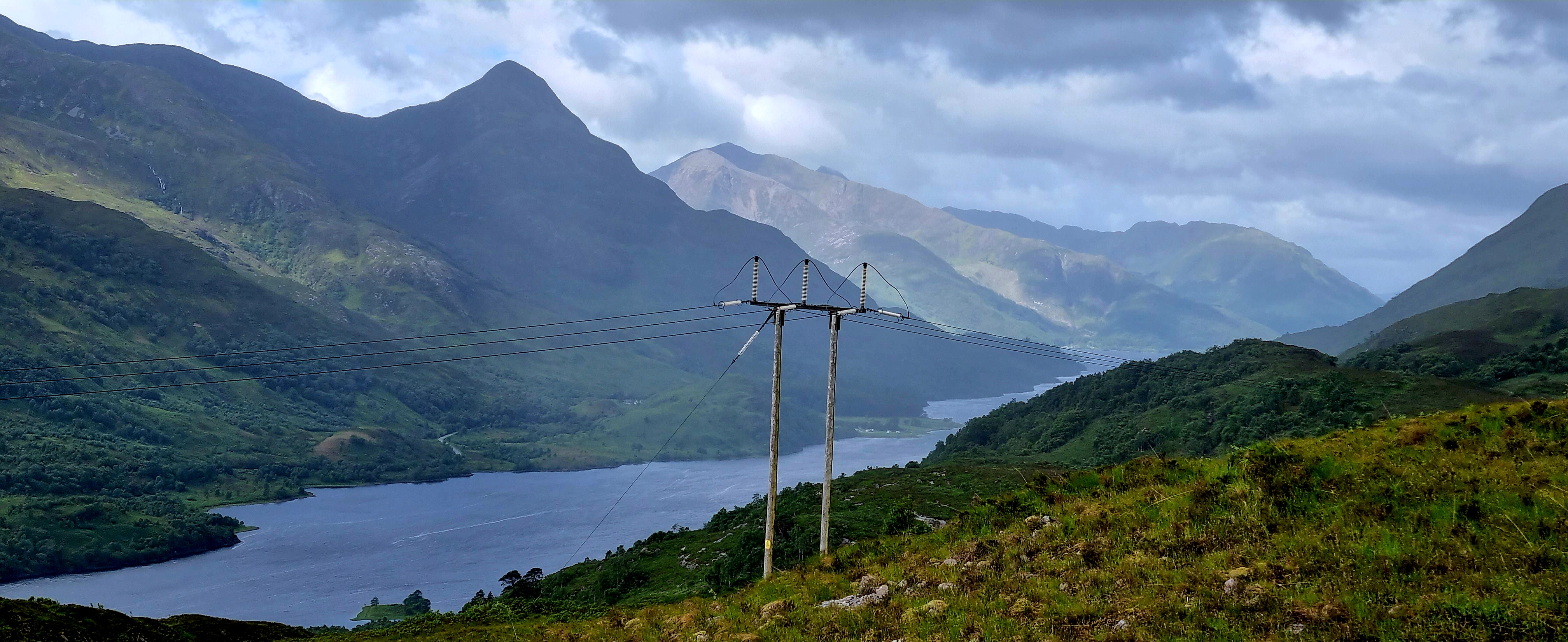
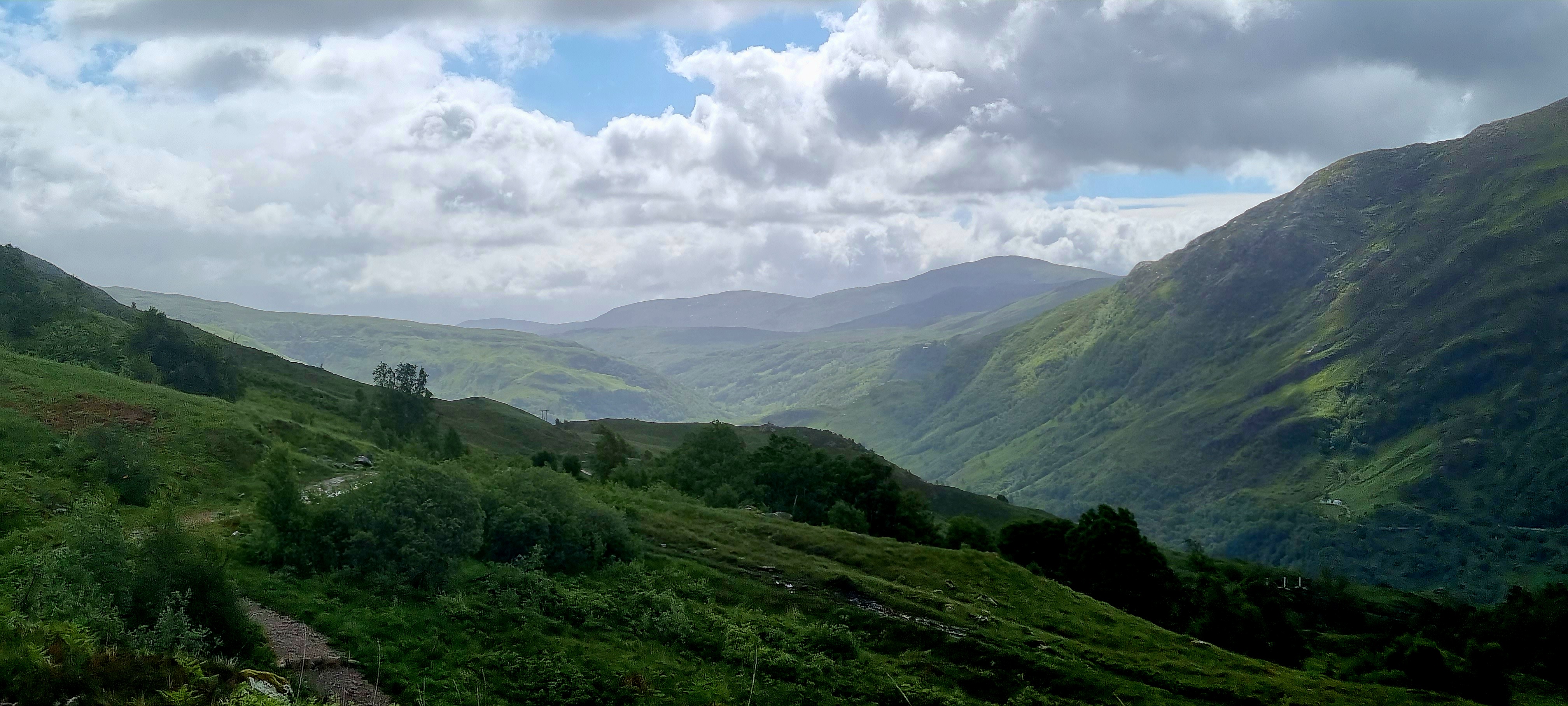
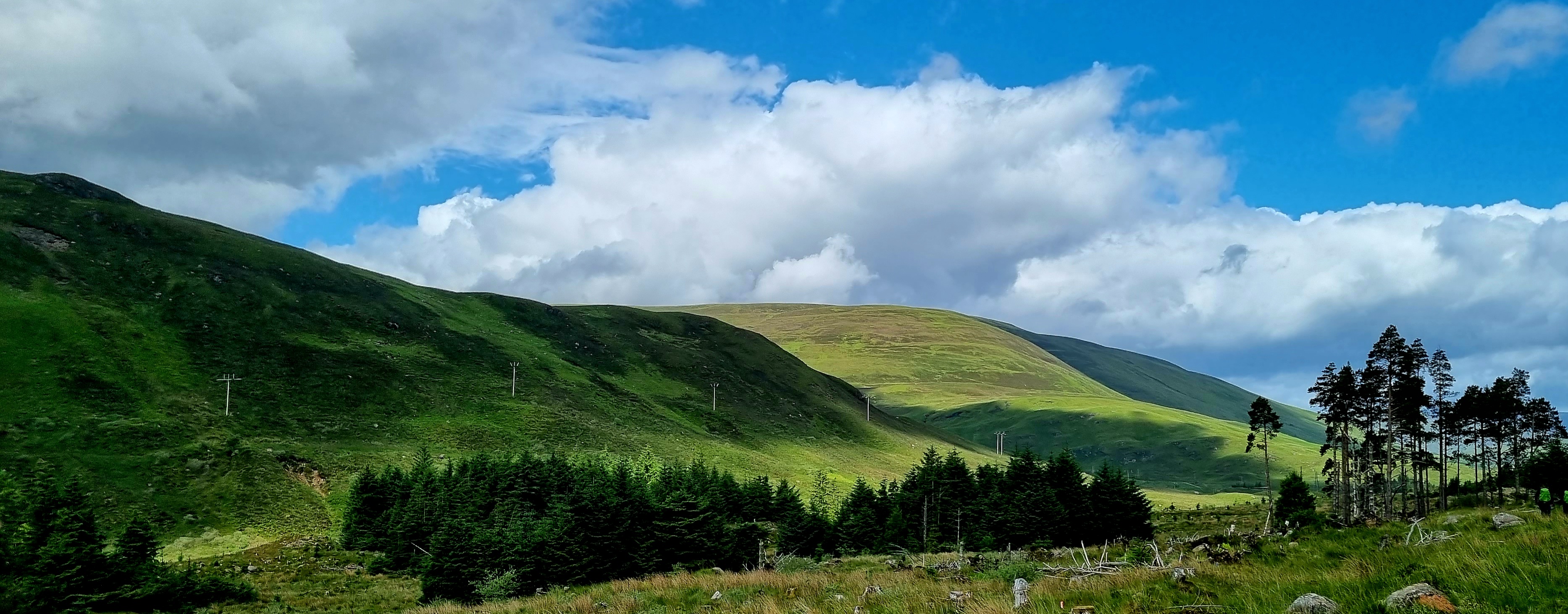
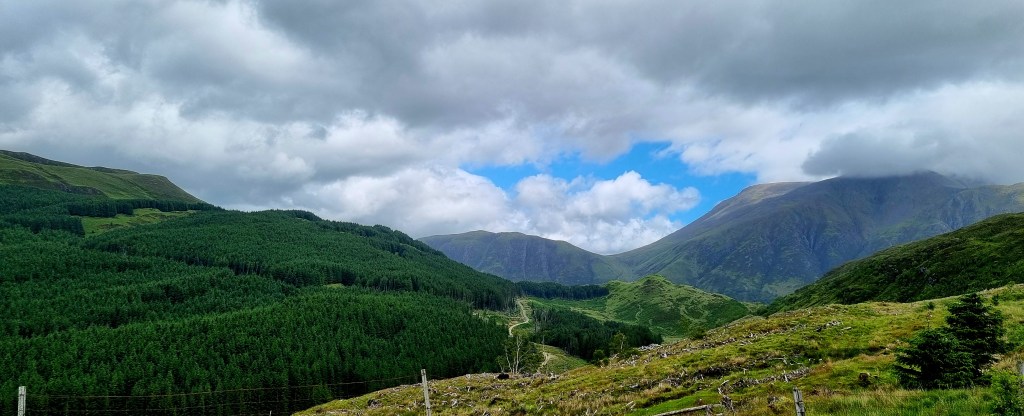
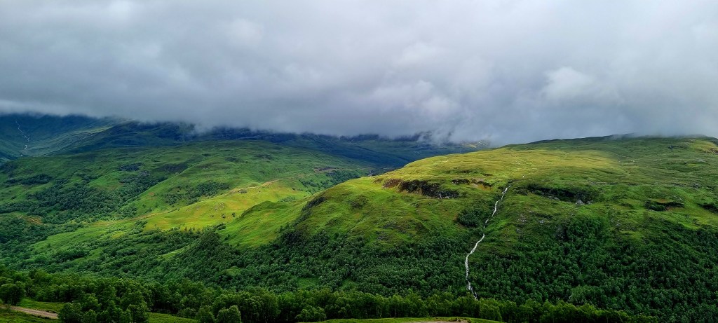
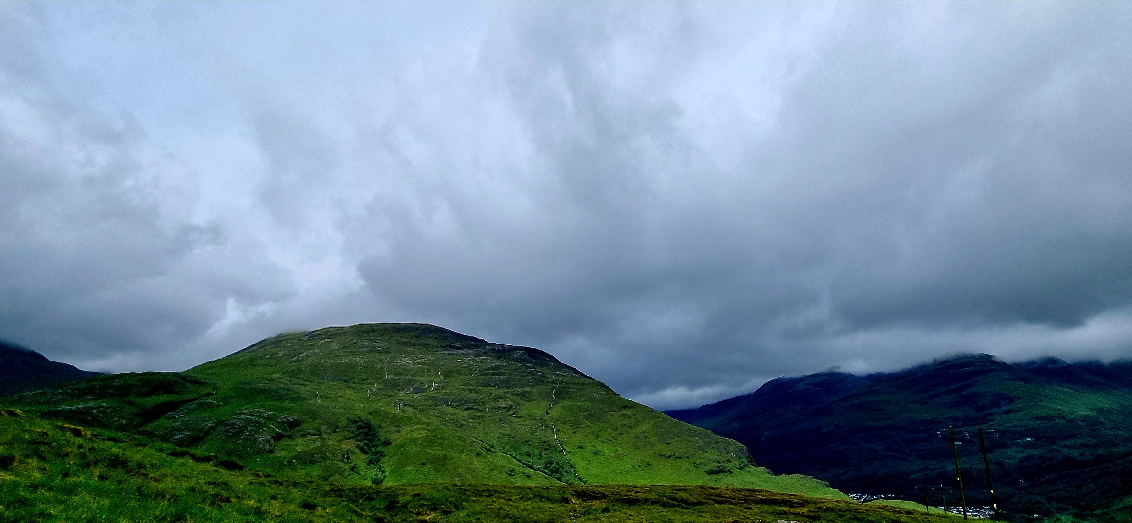
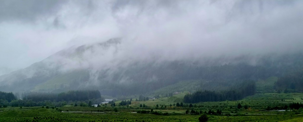
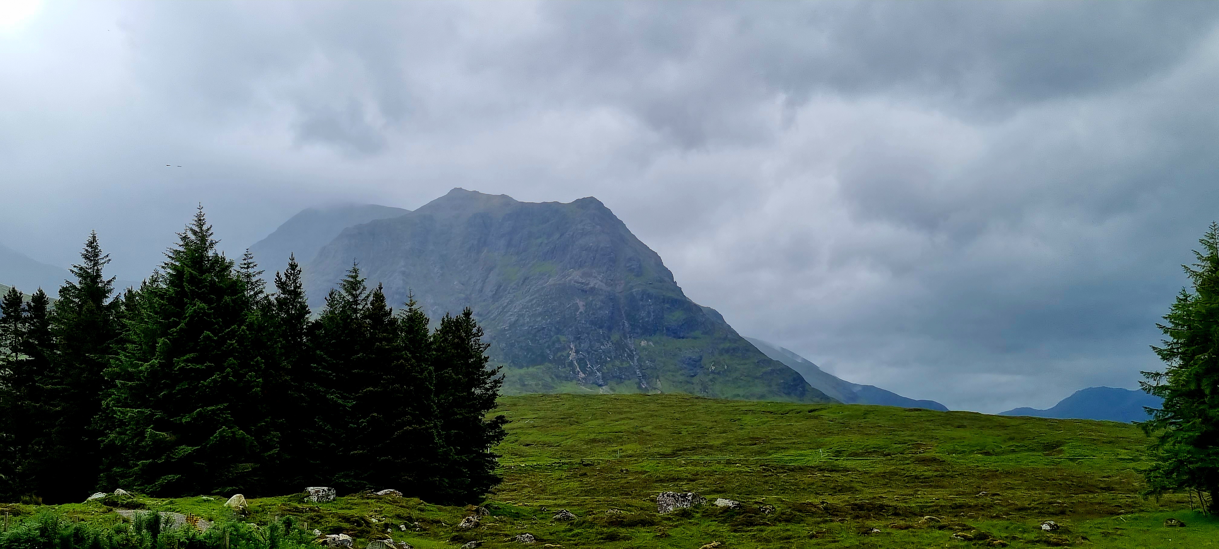
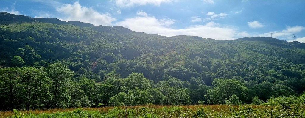
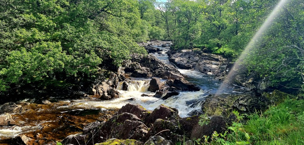
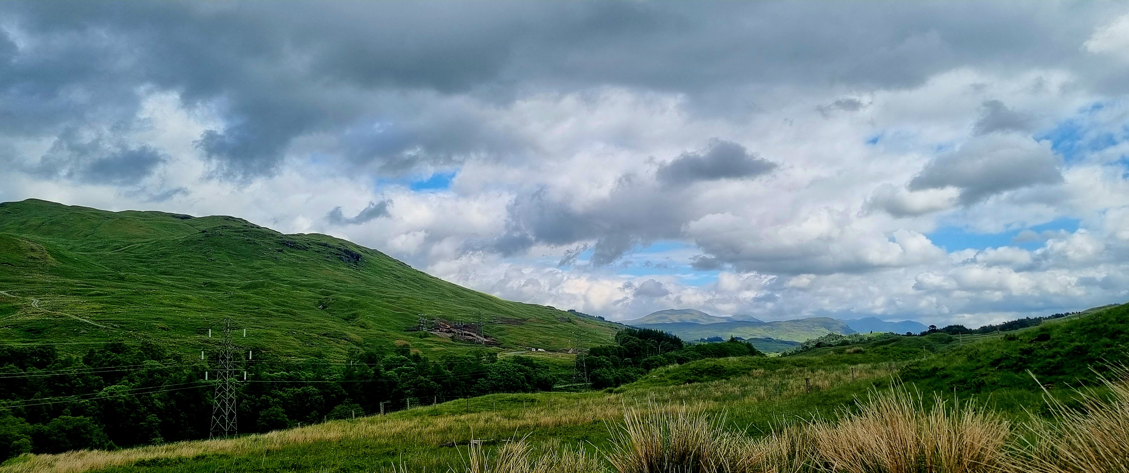
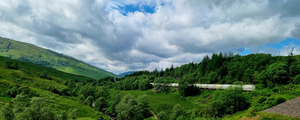
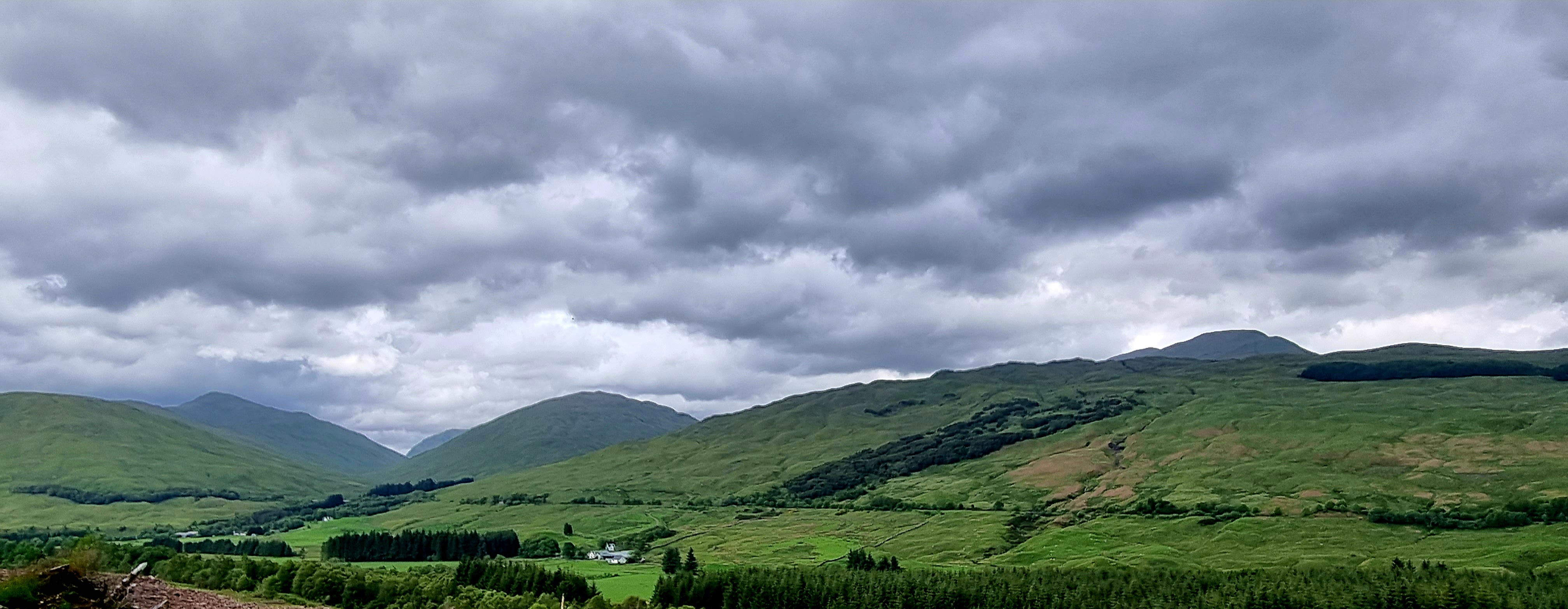
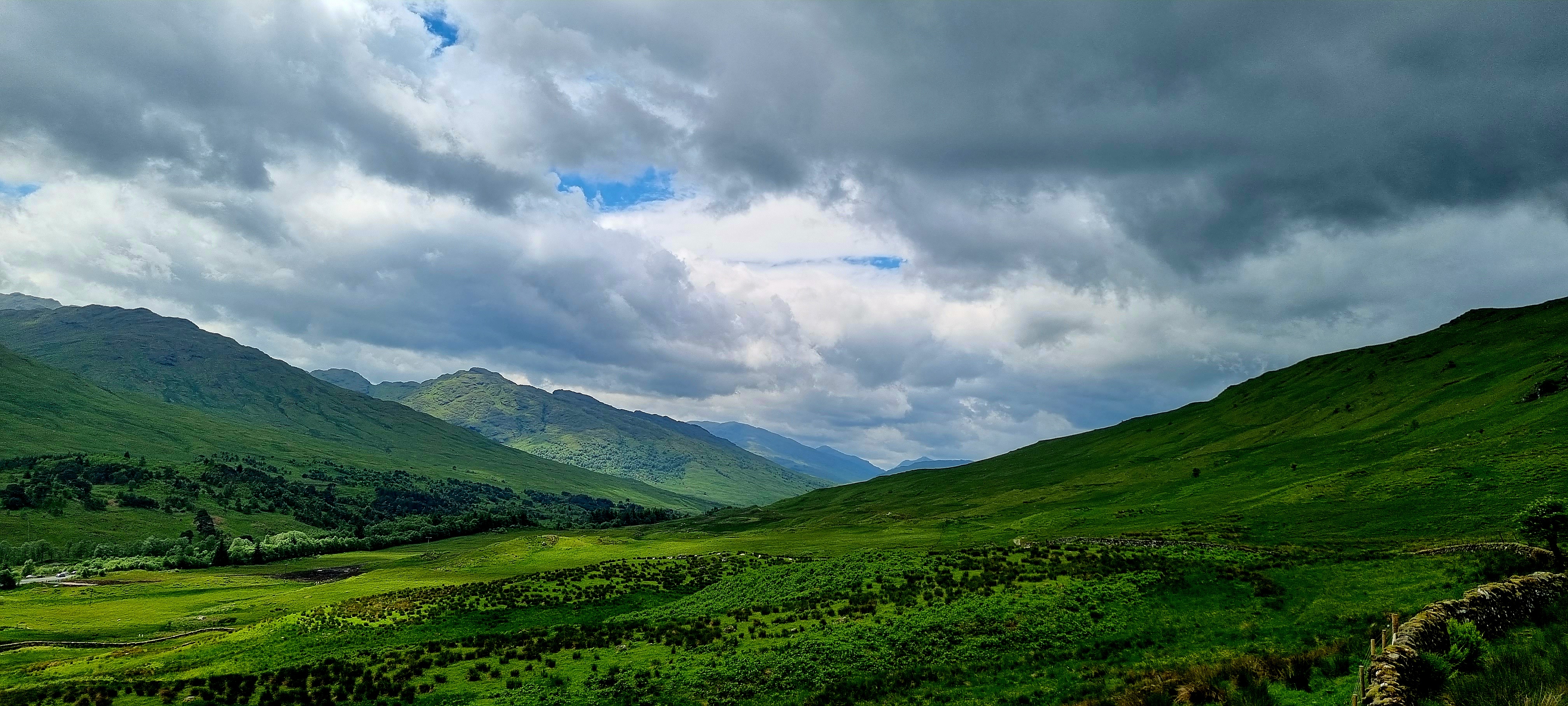
We headed off and went onto the Cherohala Skyway. This is a 43 mile scenic highway that was built in 1996. Its name is a mix of Cherokee and Nantahala, the two national forests through which it passes. It was a beautiful, and sometimes, windy road.
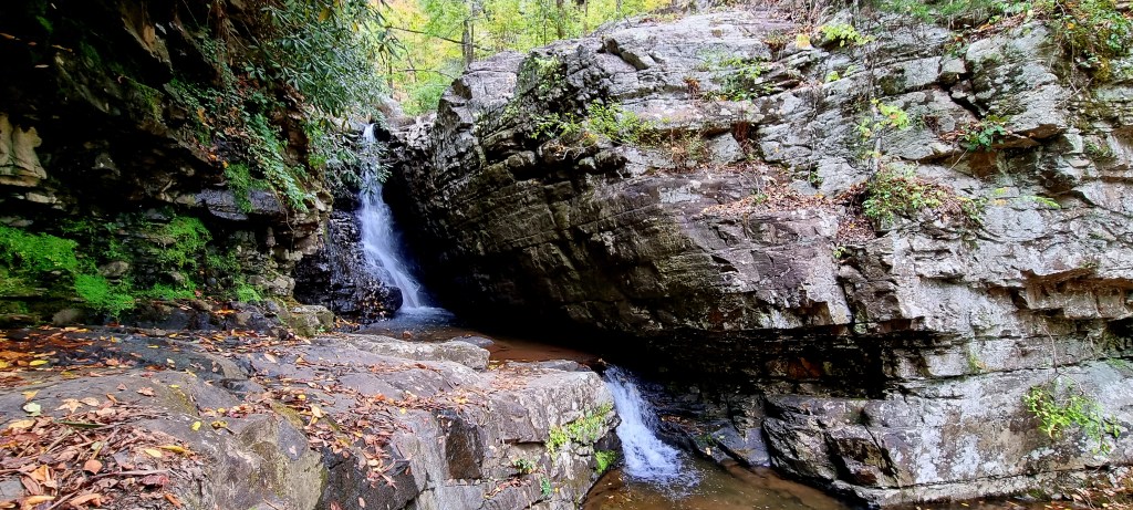
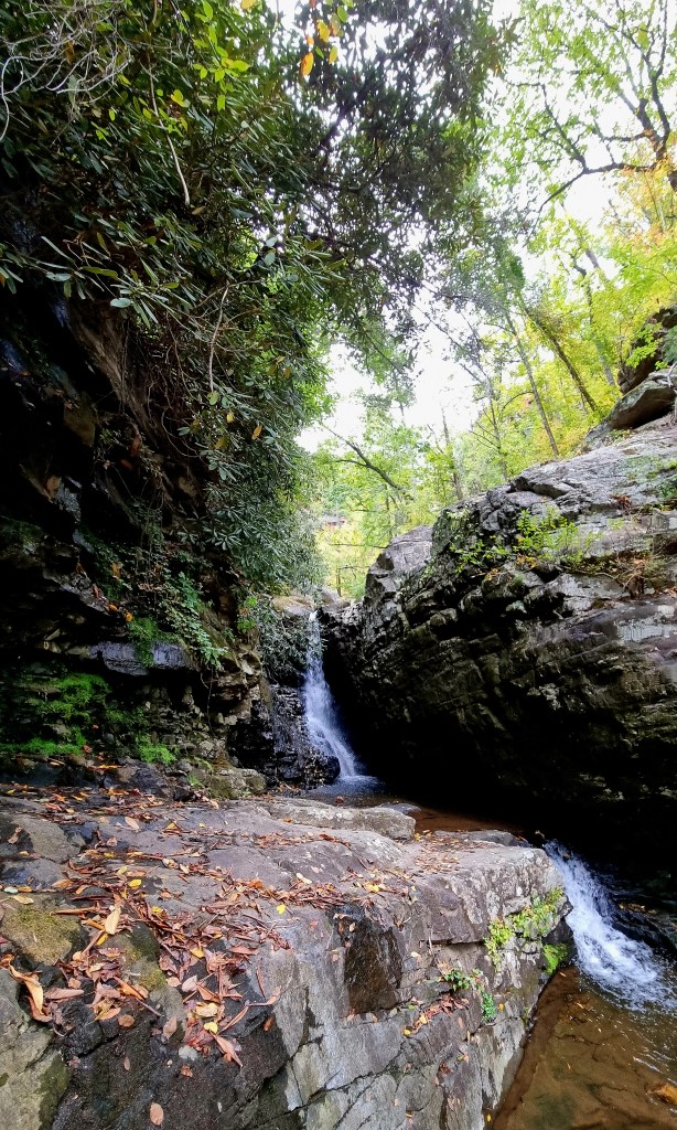
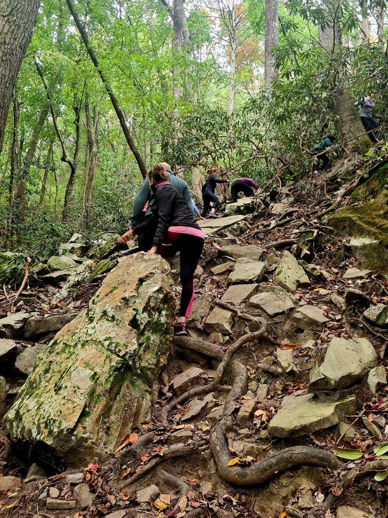
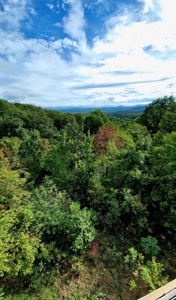
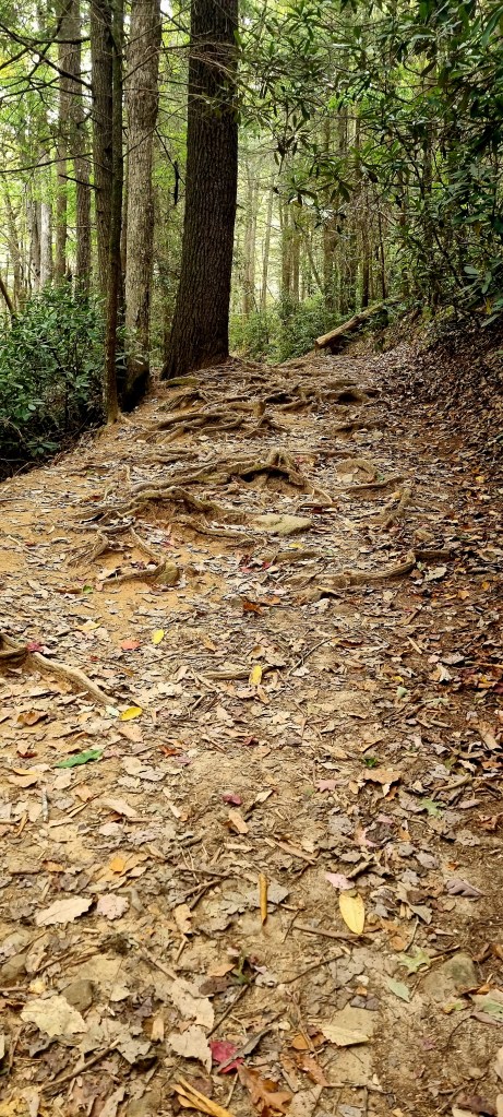
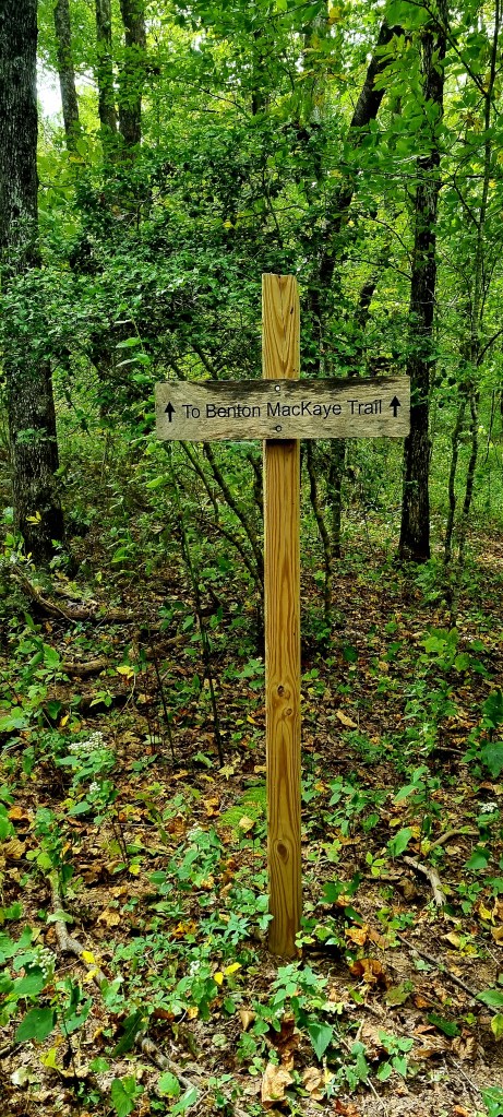
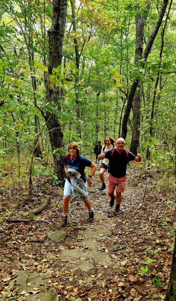
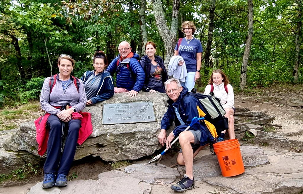
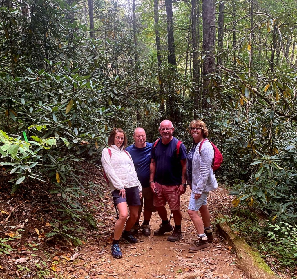
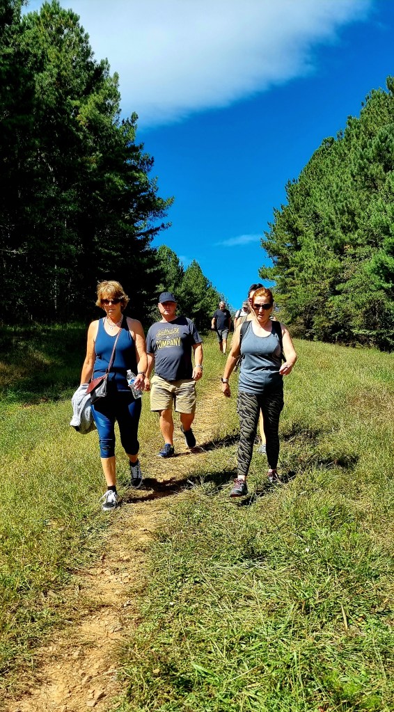
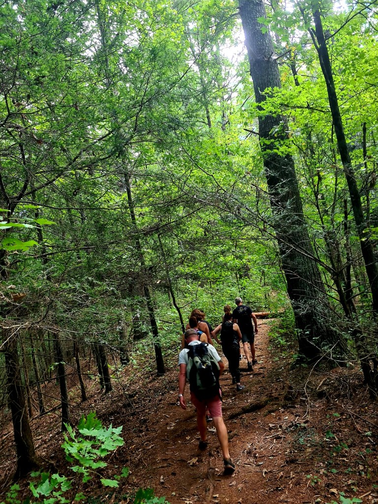
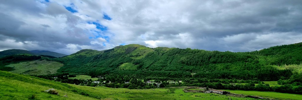
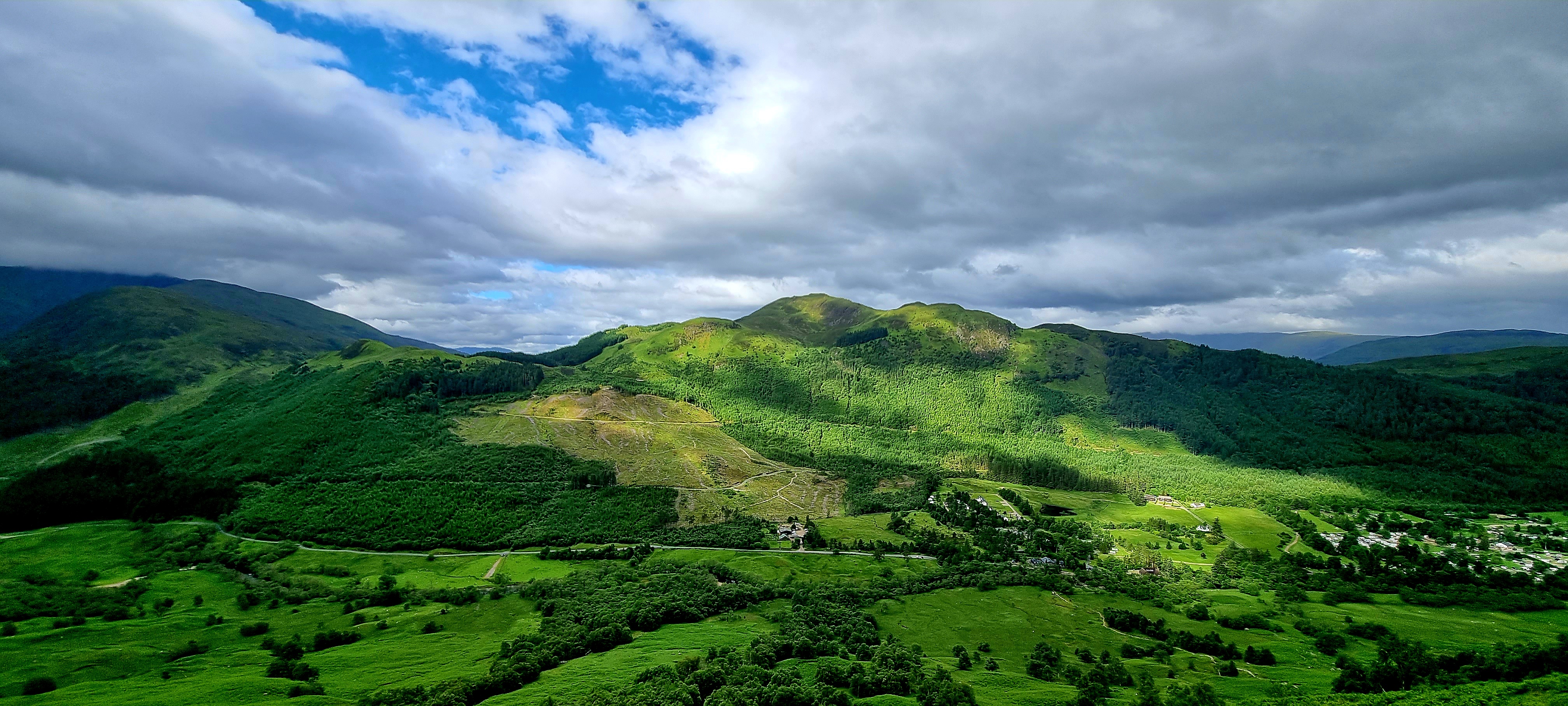
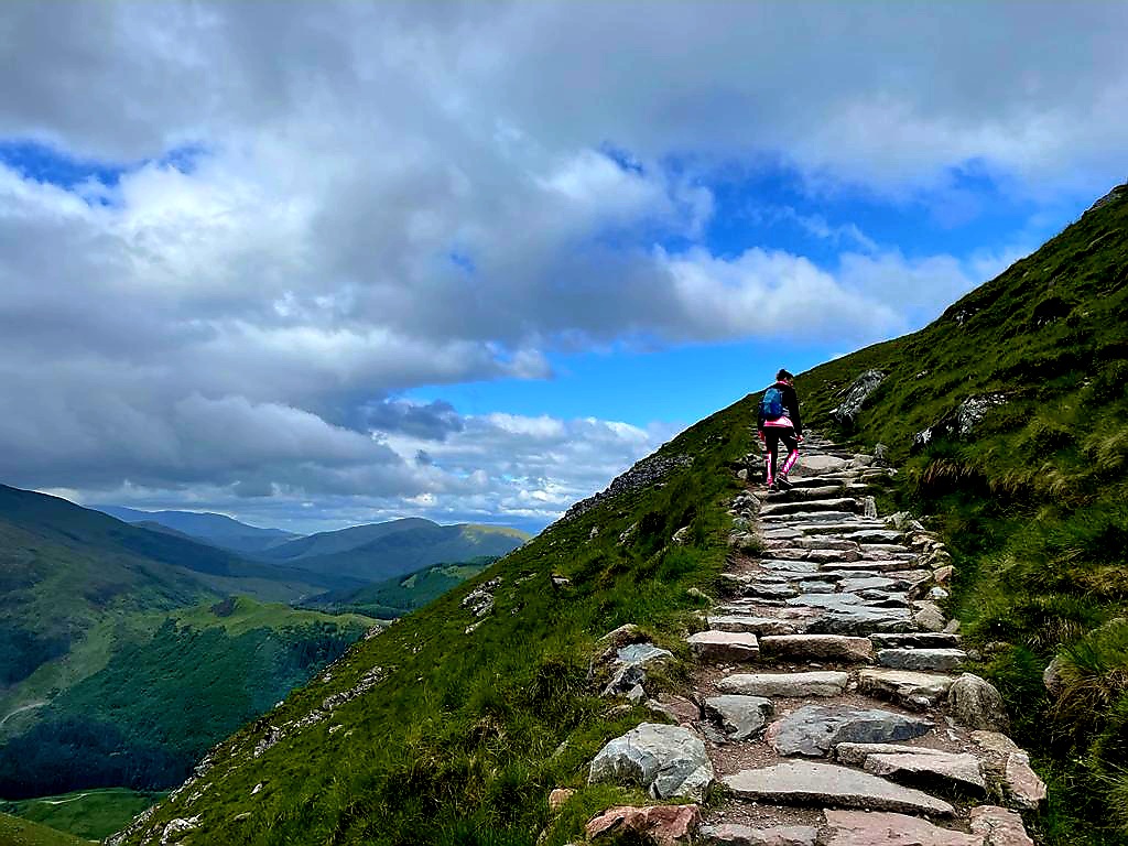
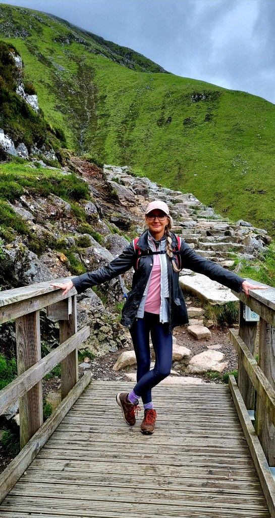
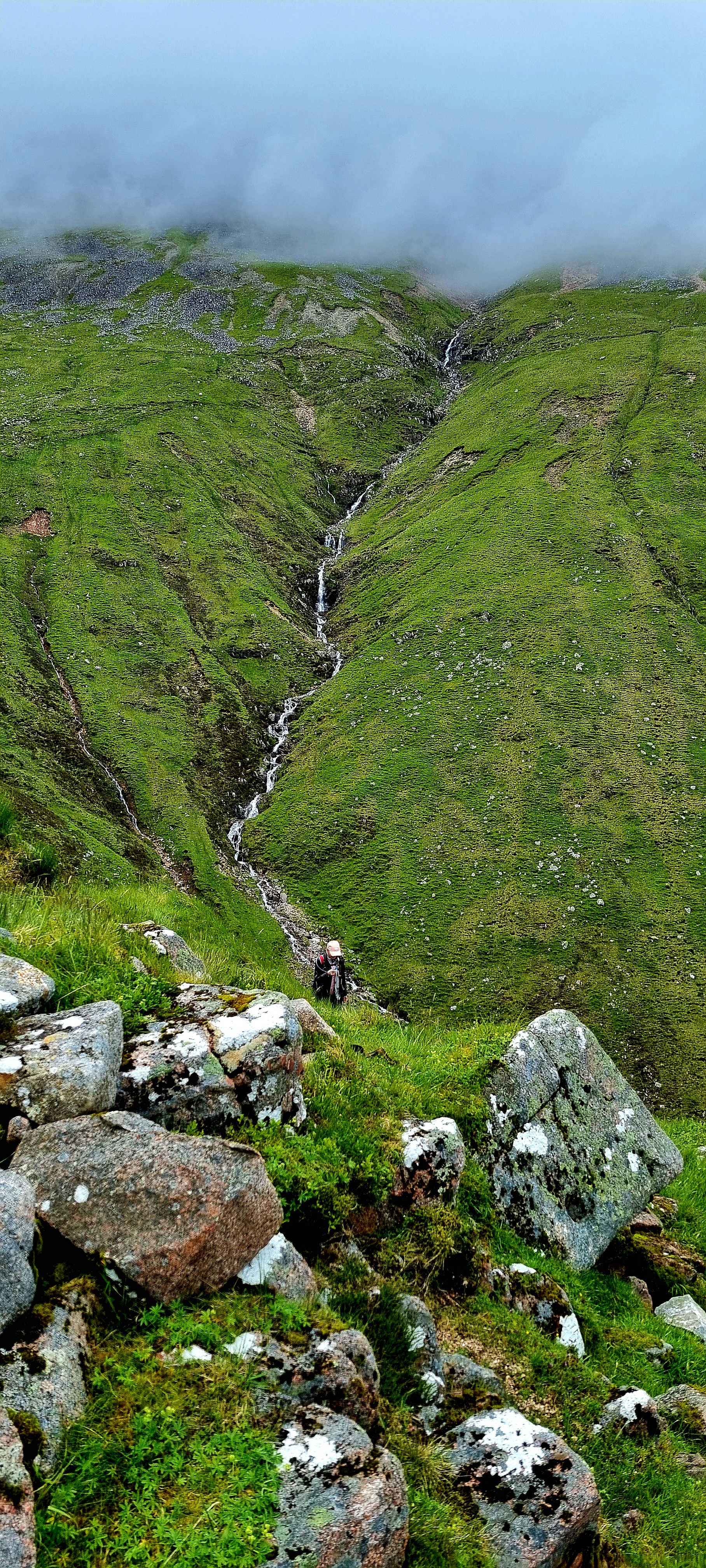
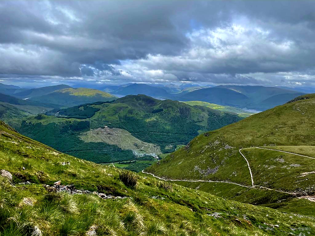
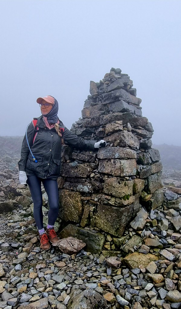
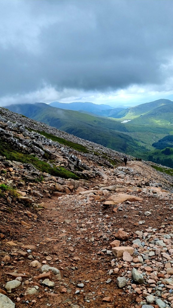
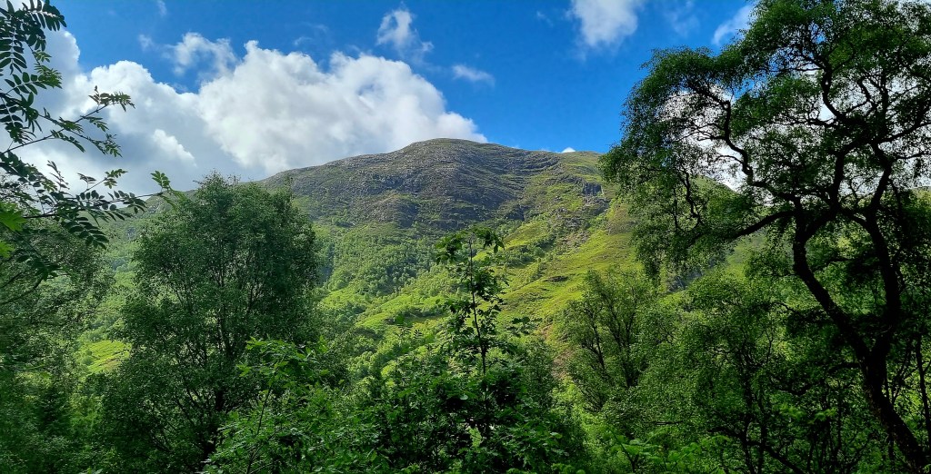
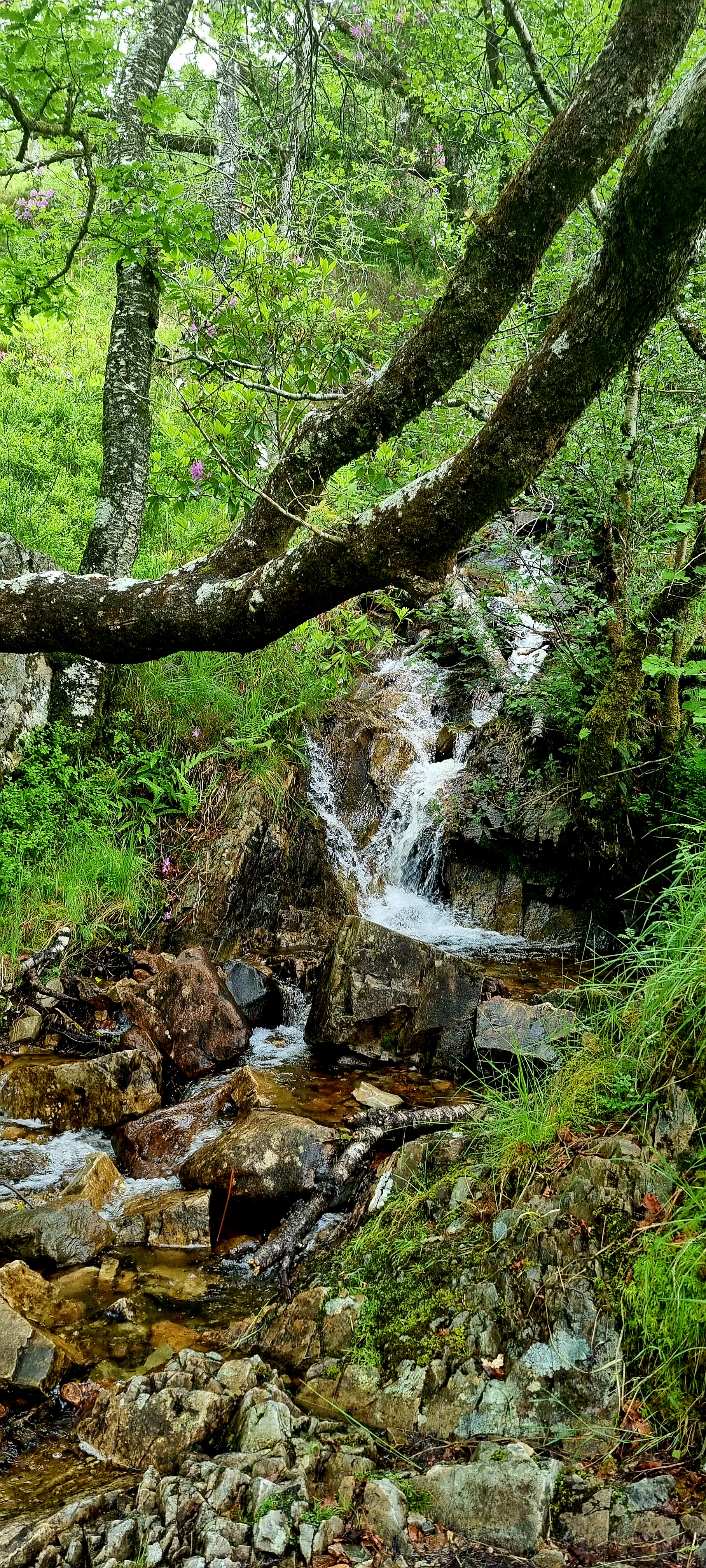
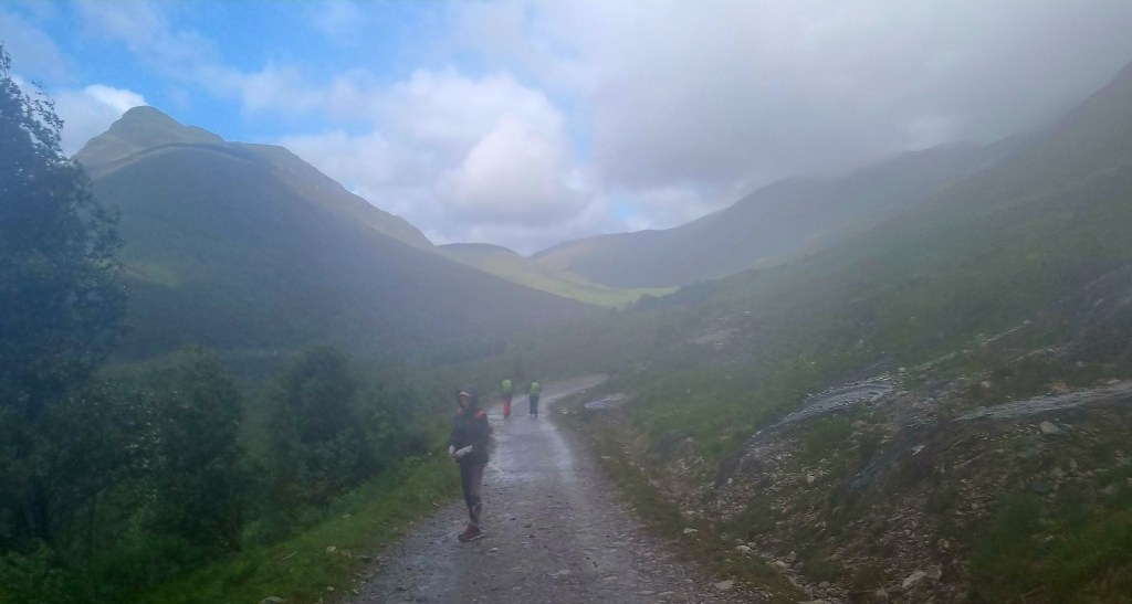
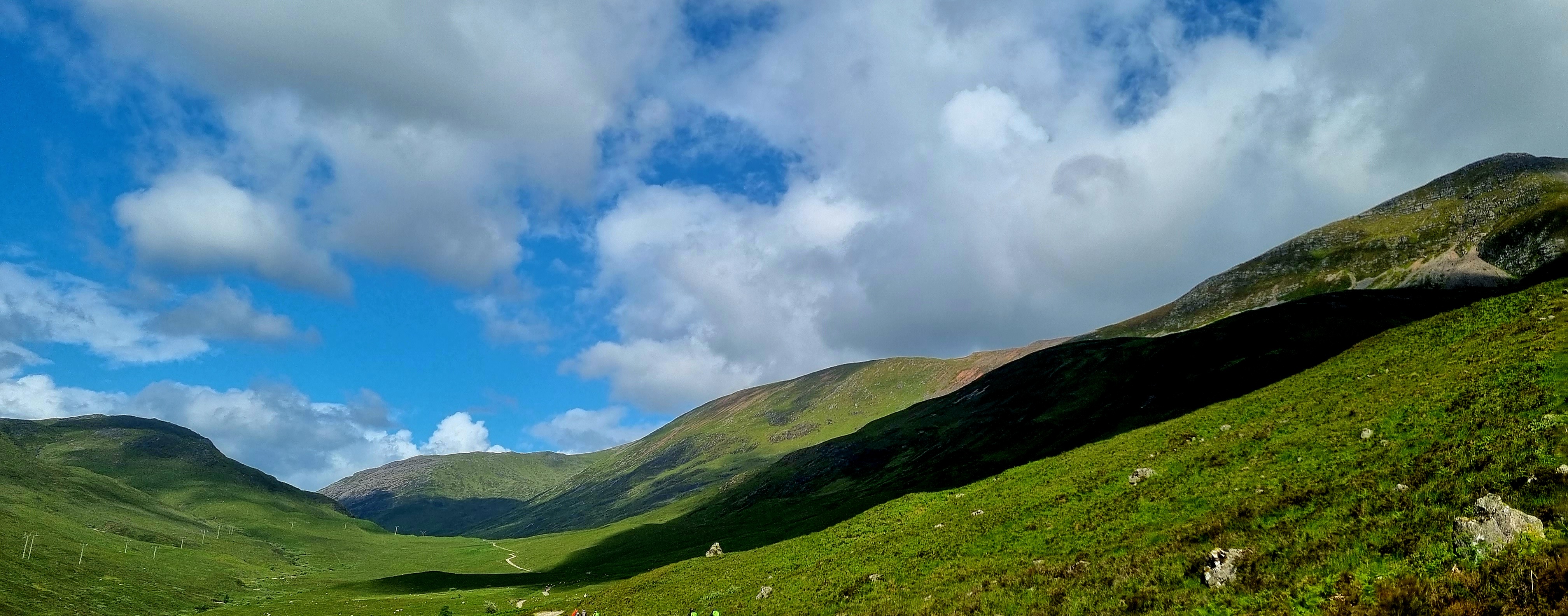
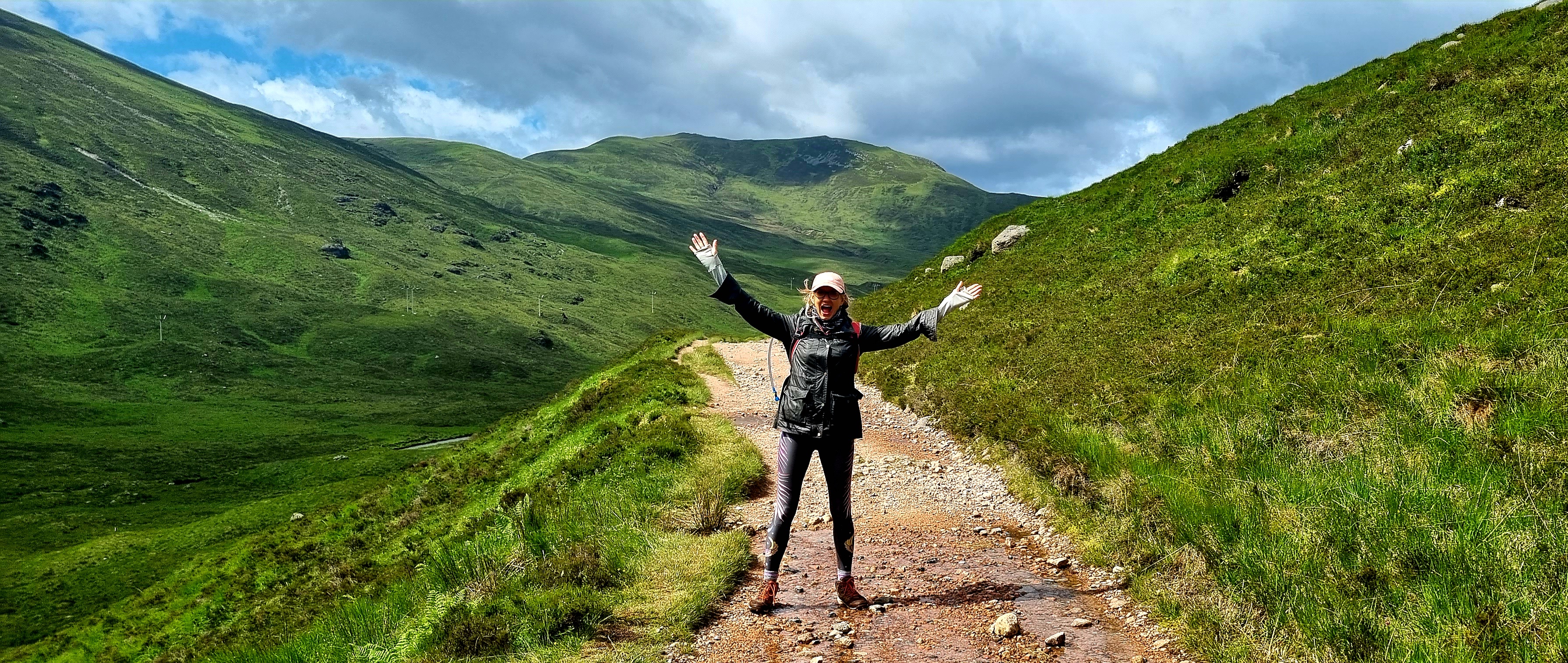
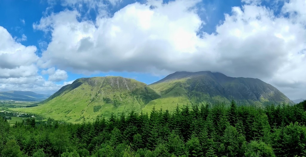
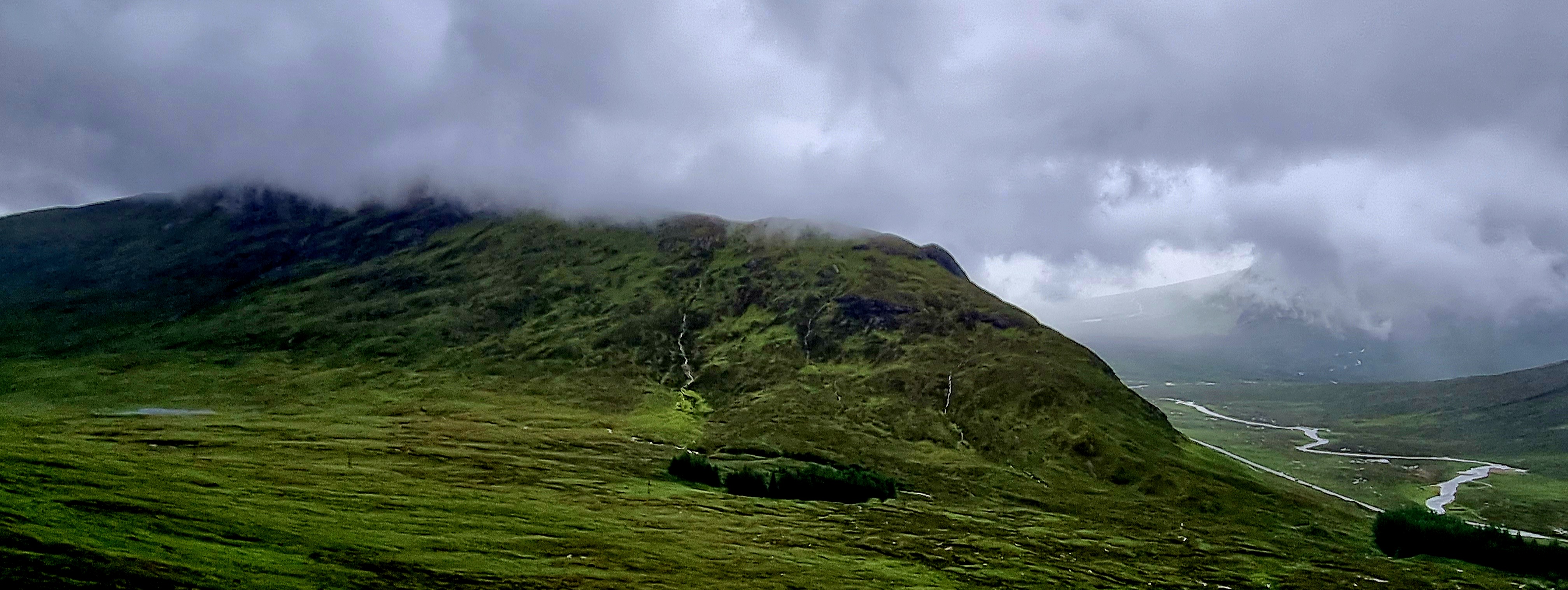
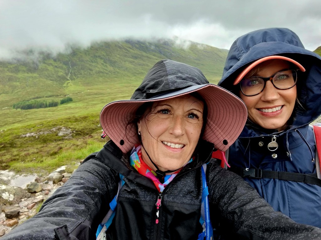
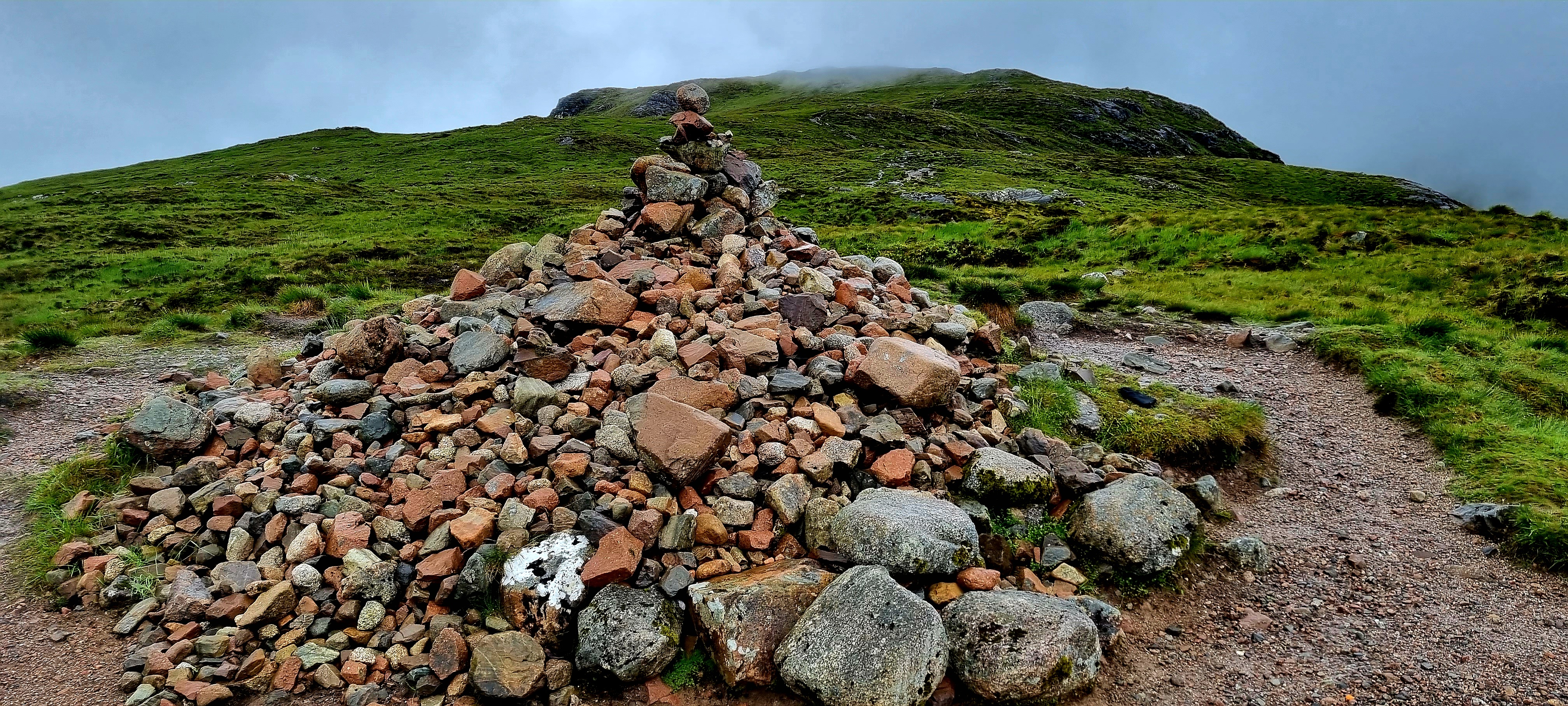
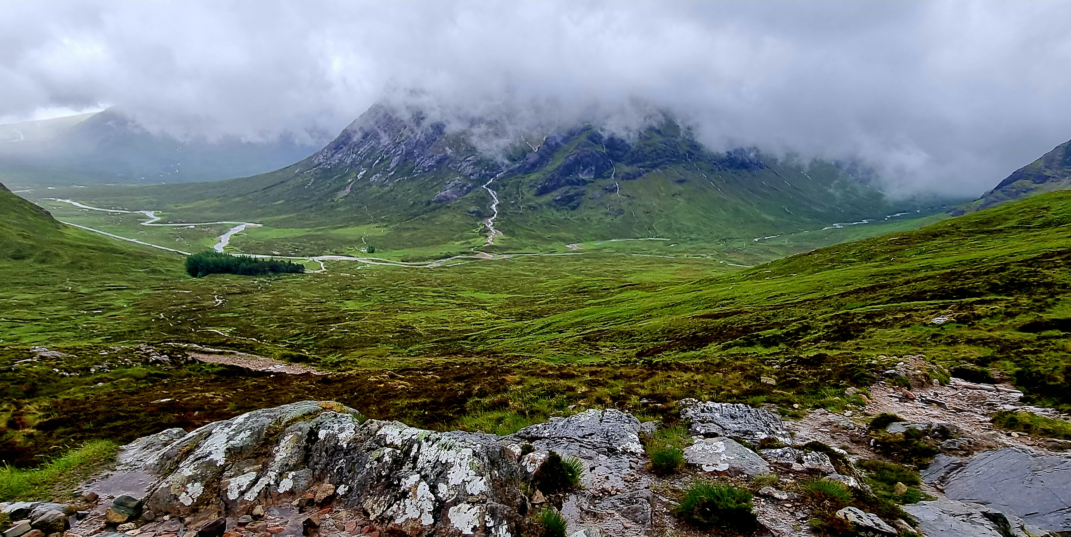
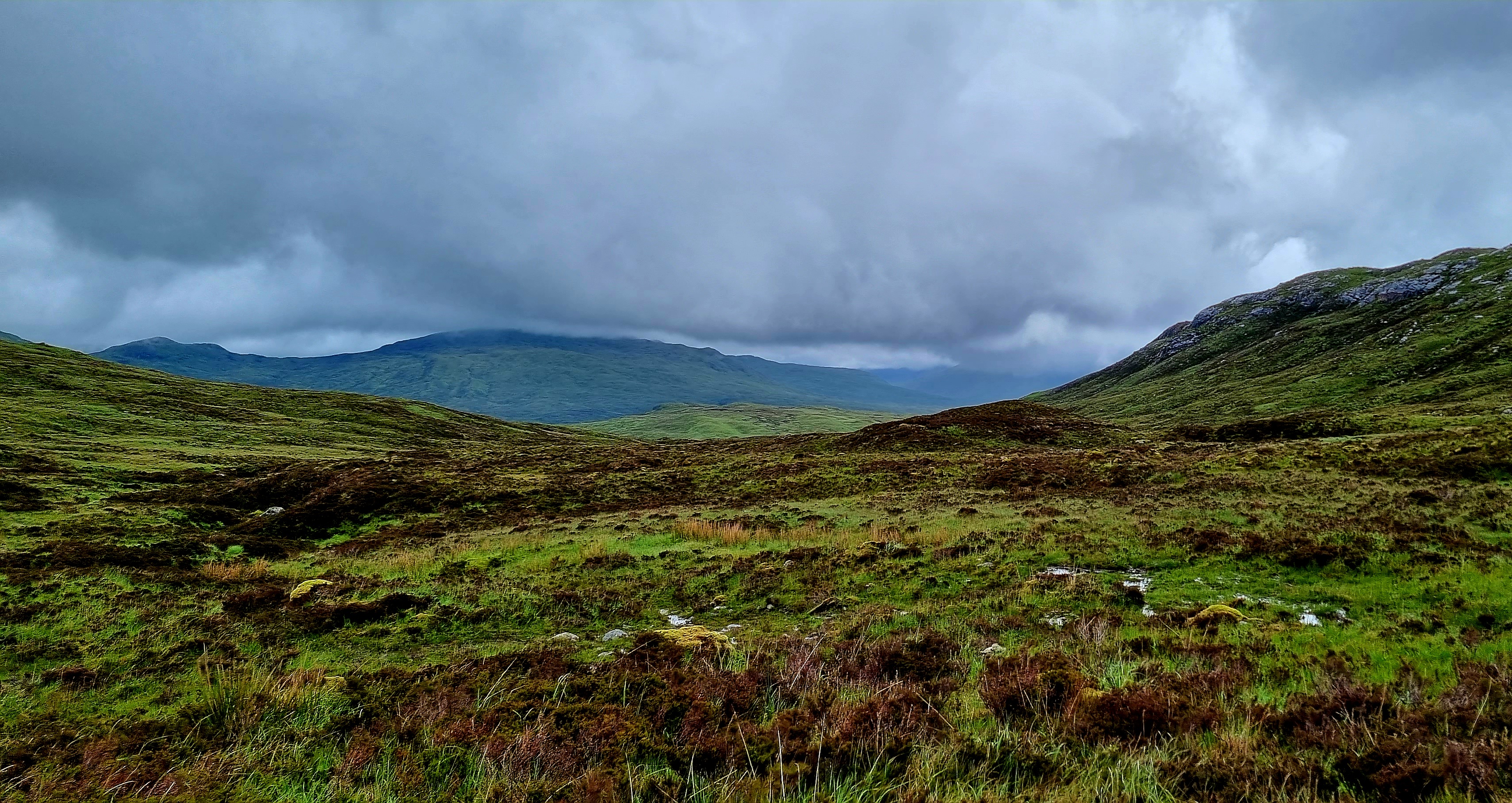
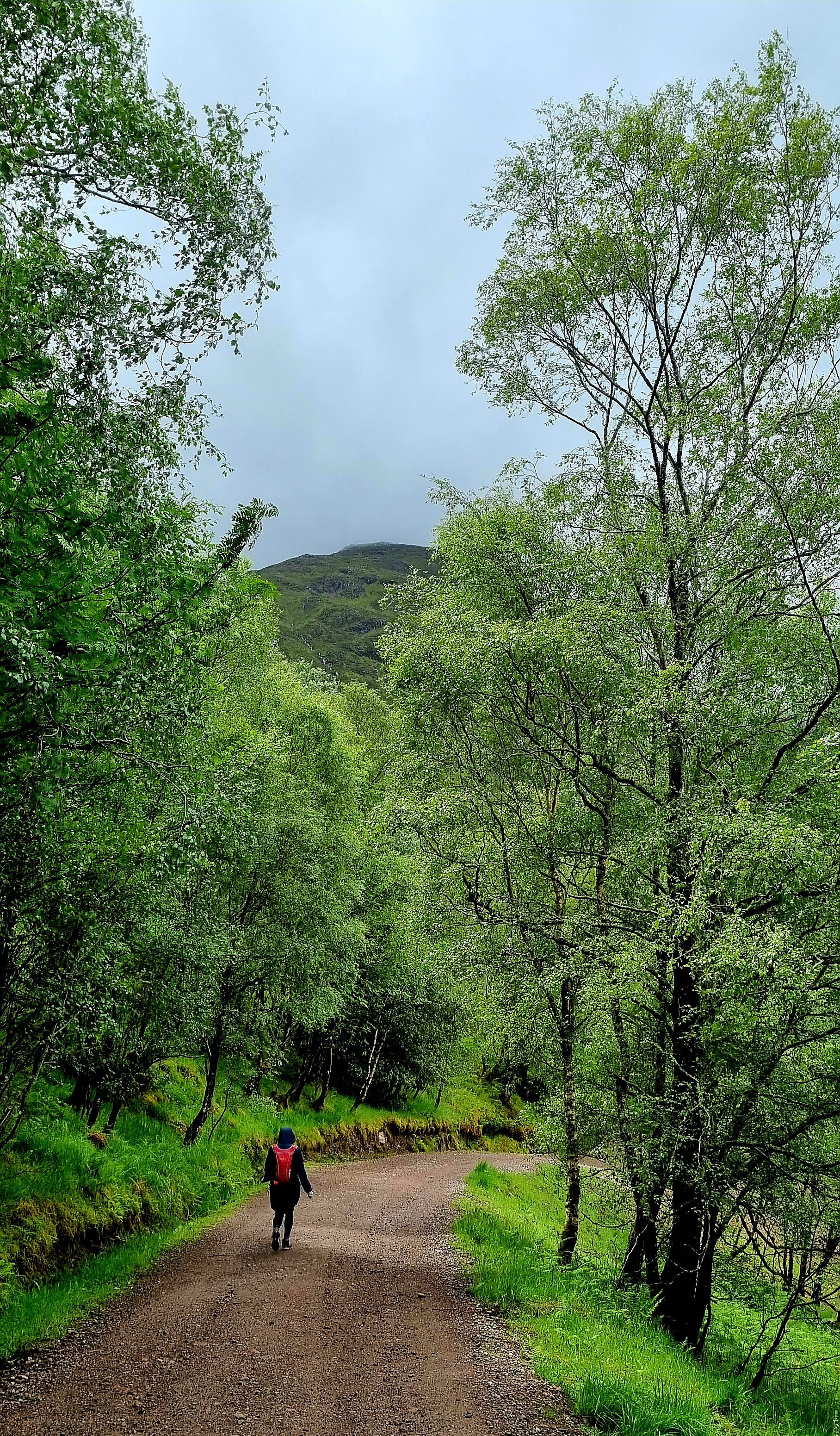
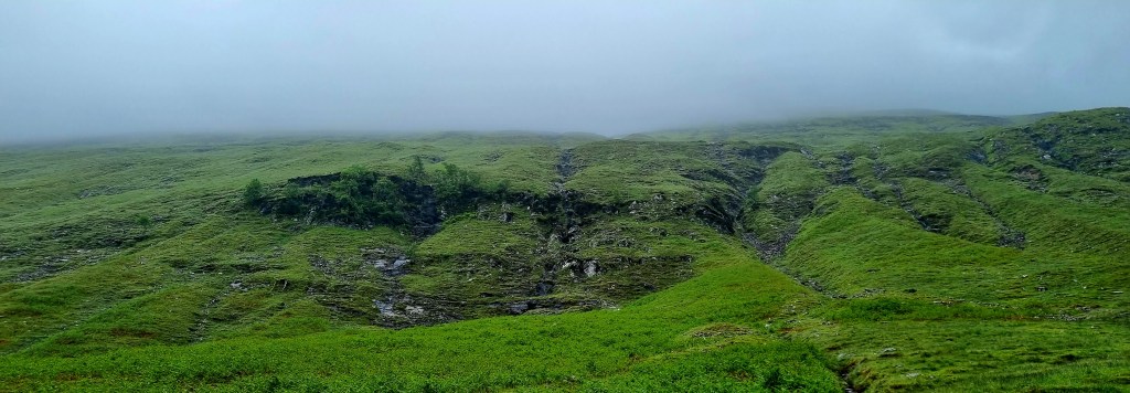
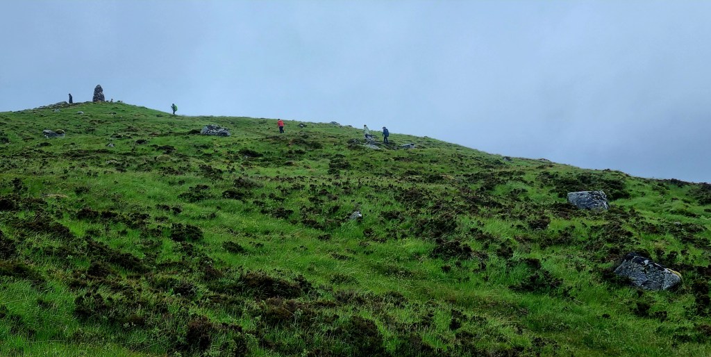
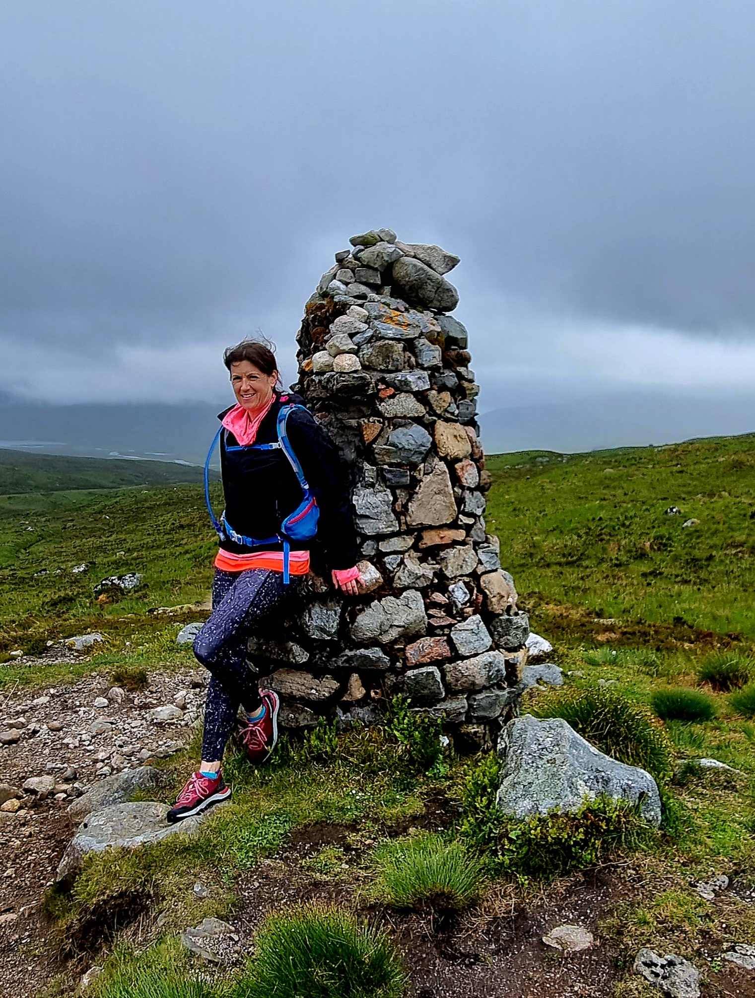
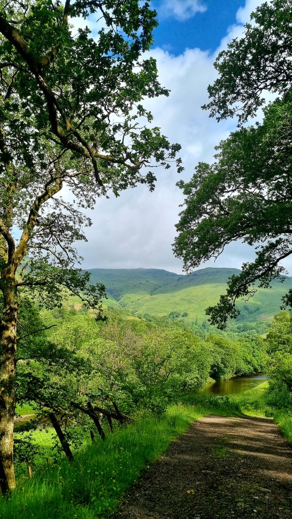
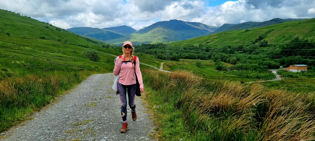
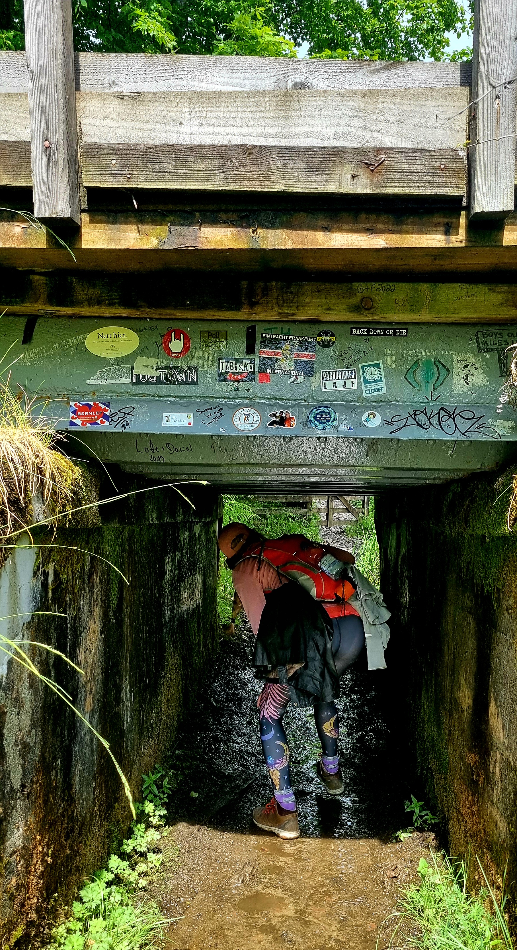
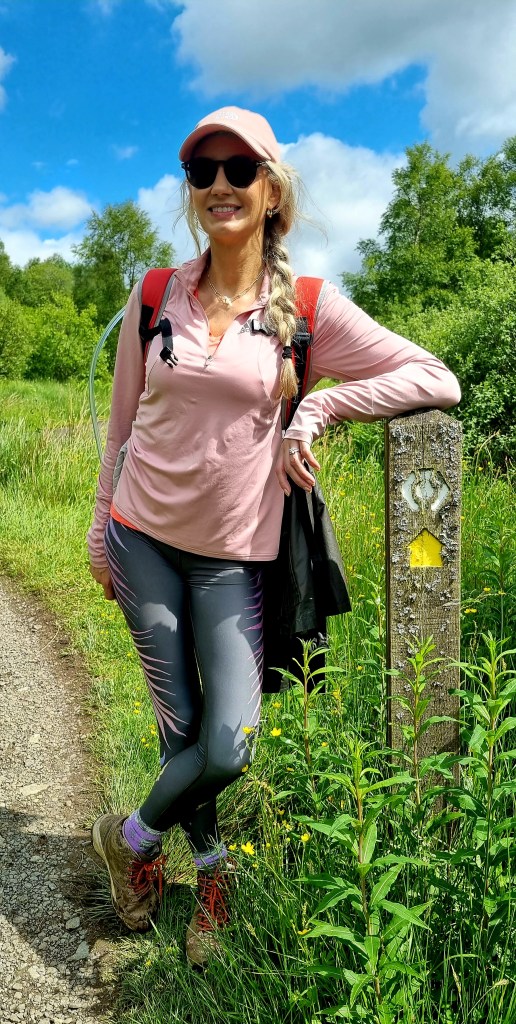
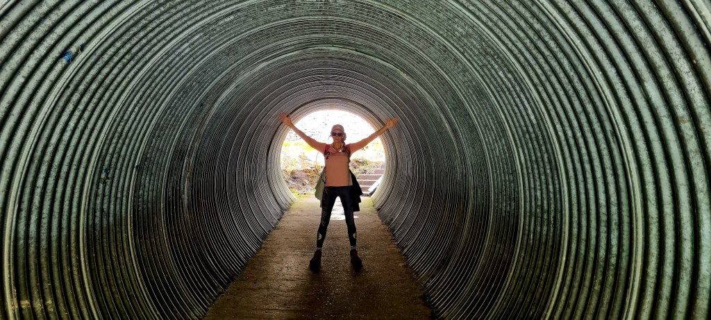
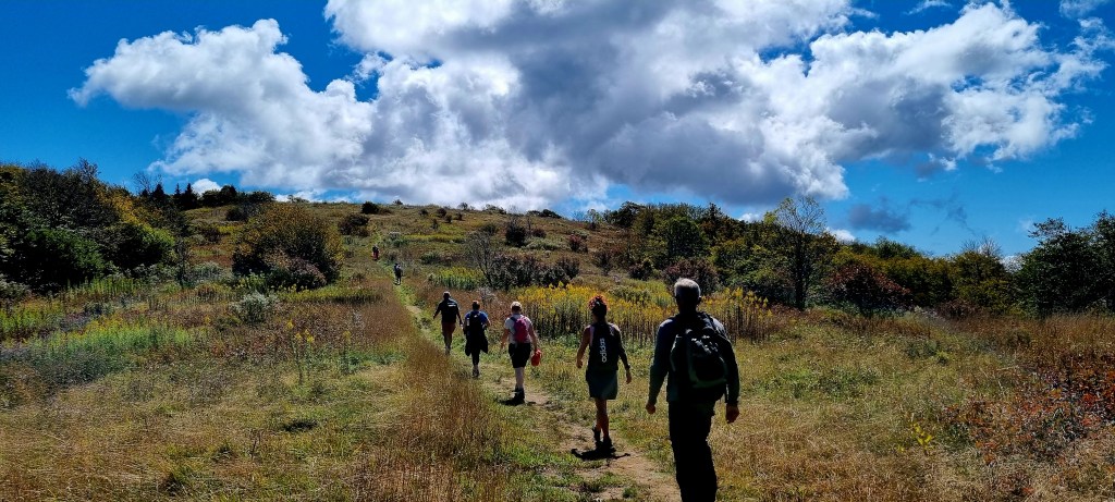
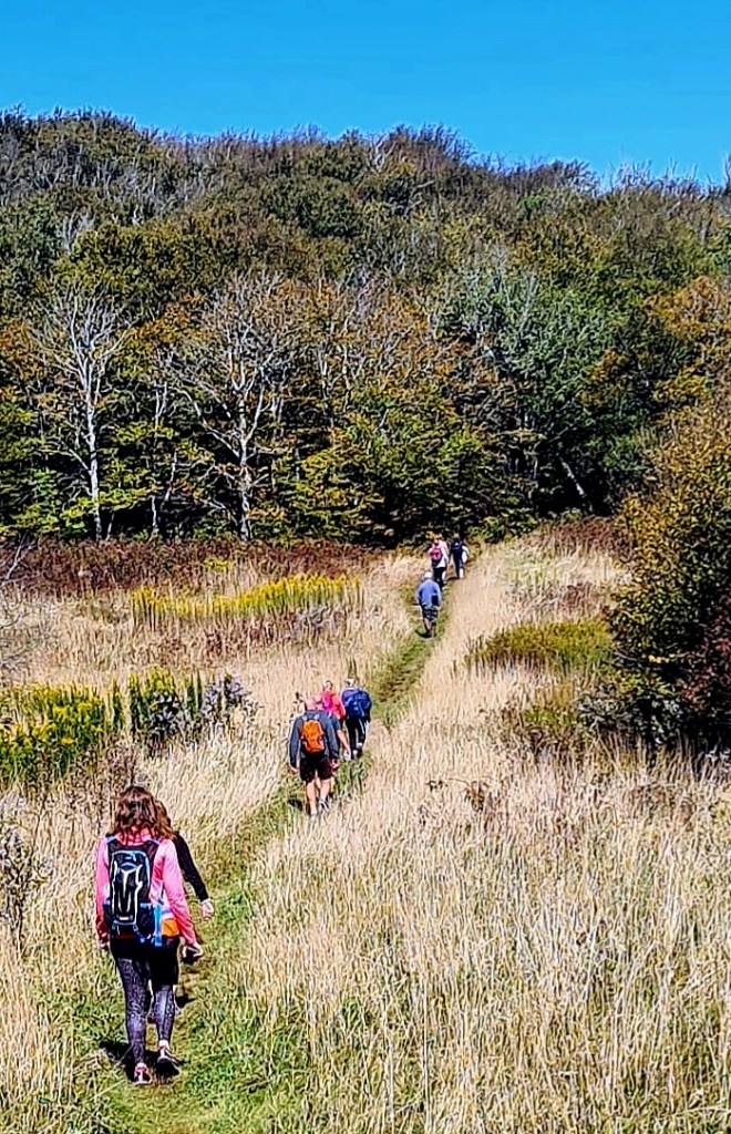
After a while we made a stop to do a short hike to Huckleberry Knob.
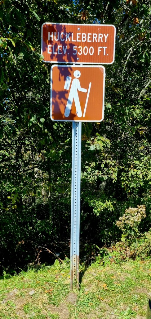
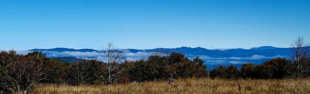

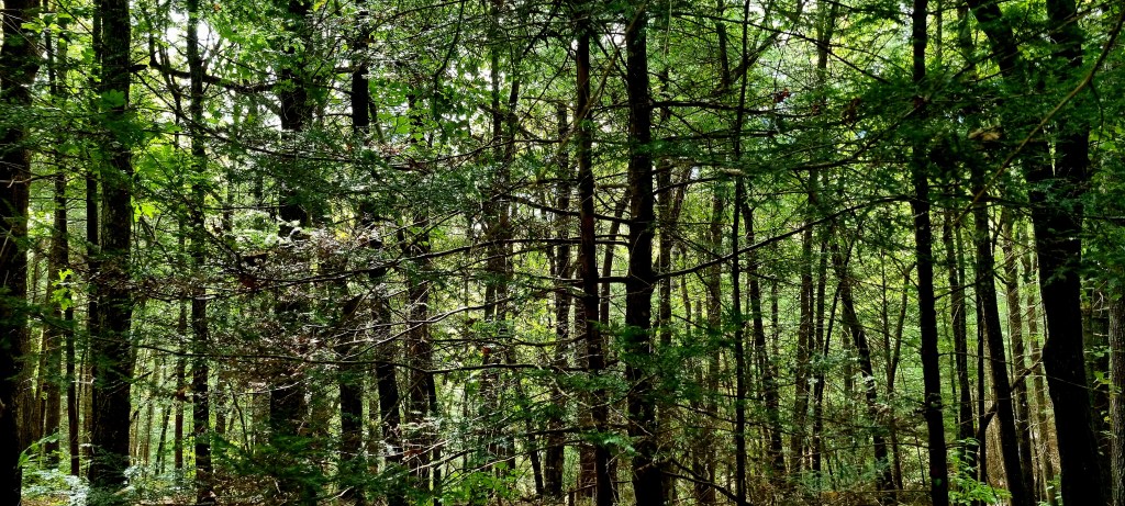
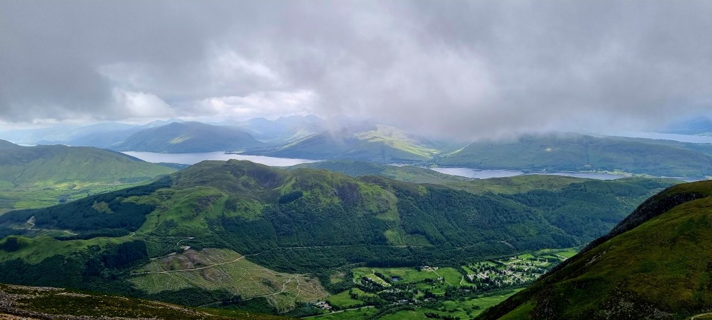
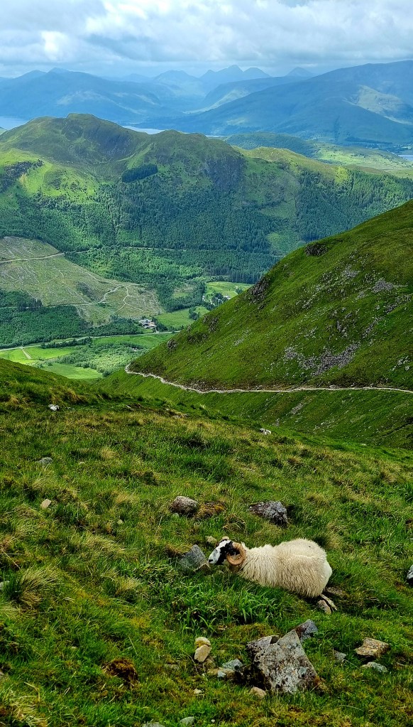
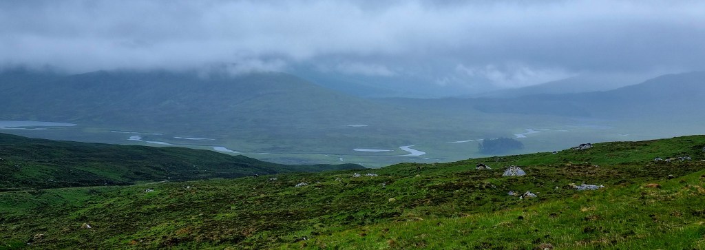
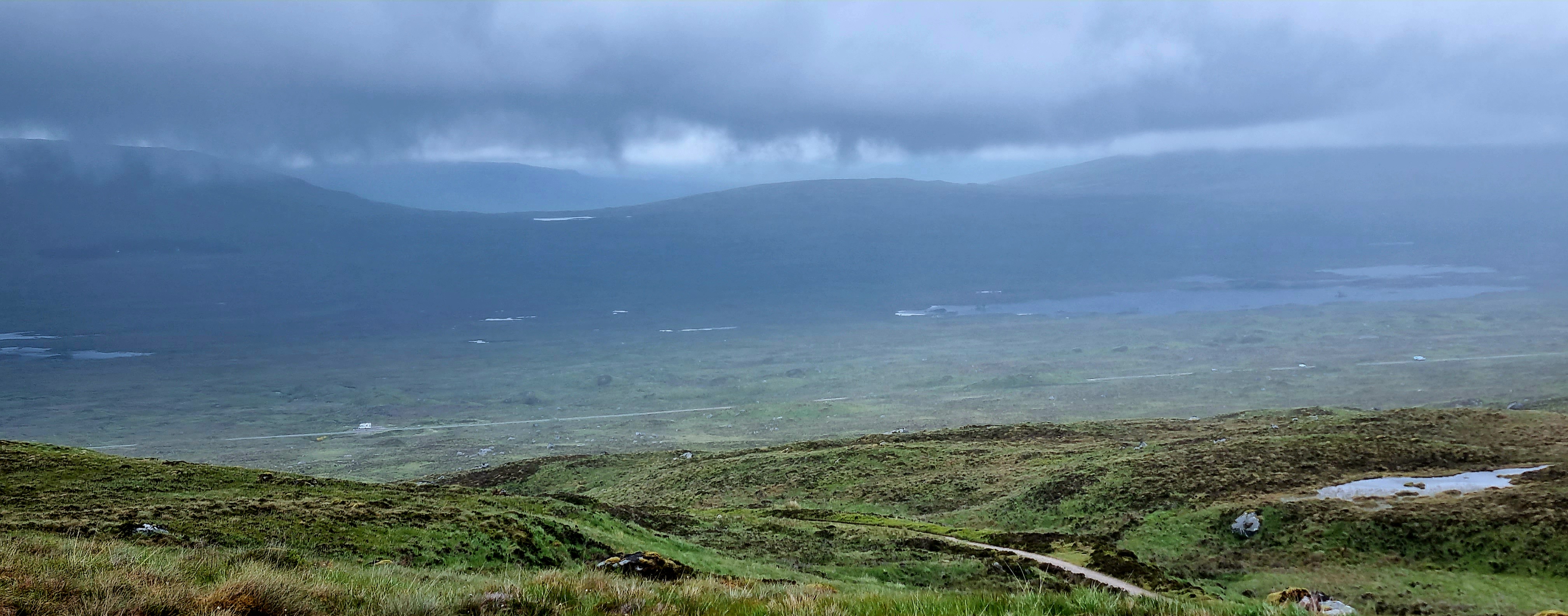
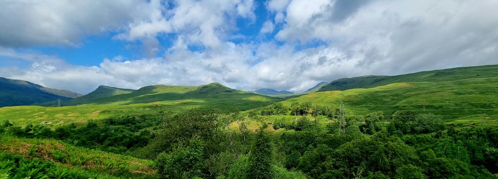
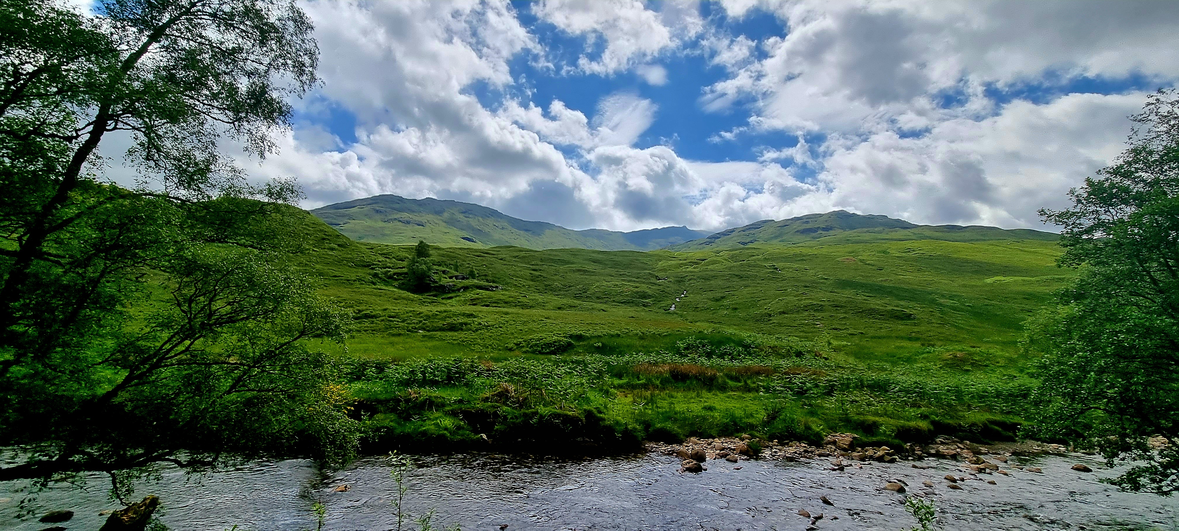
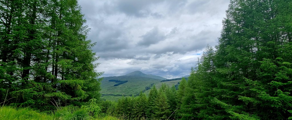
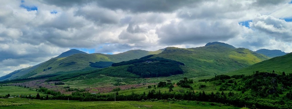
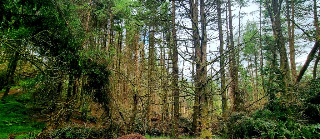
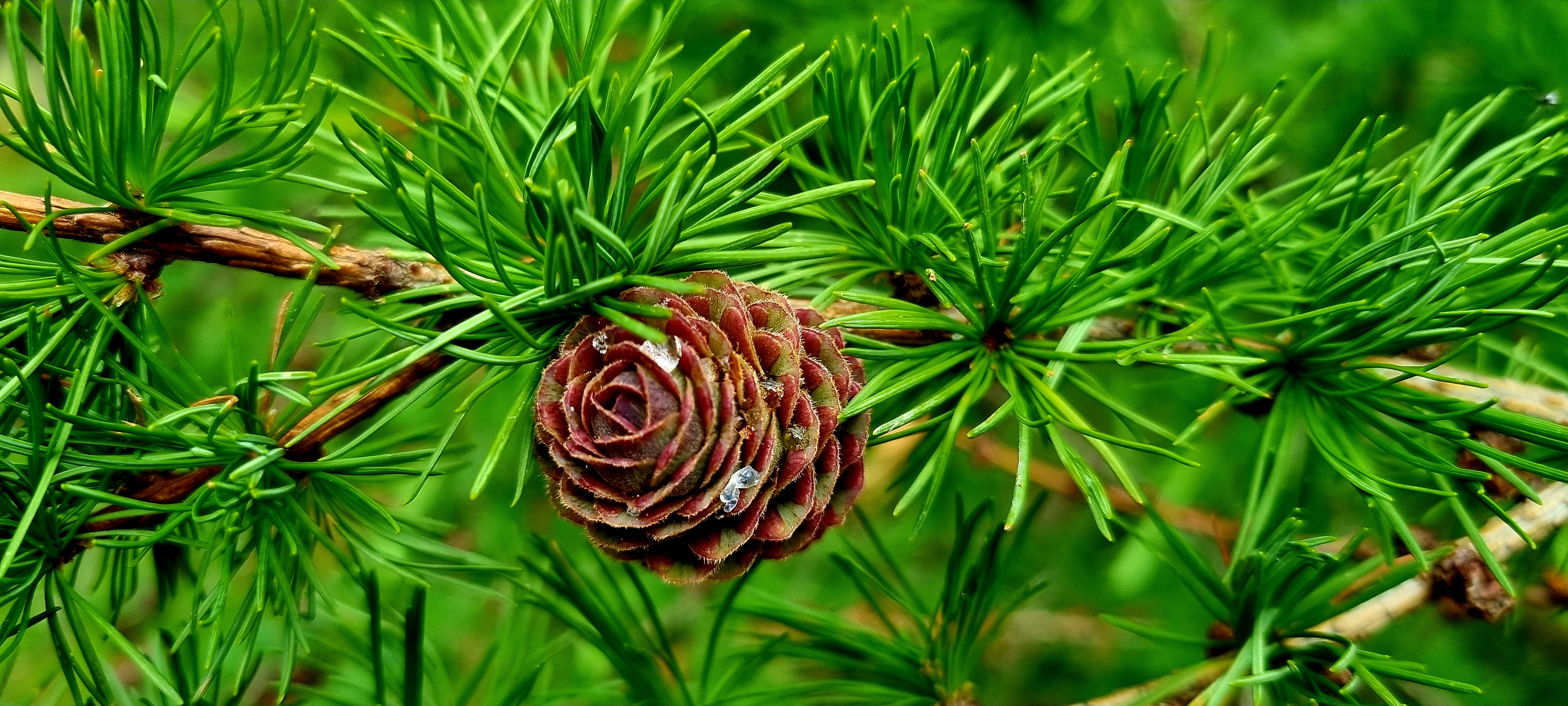
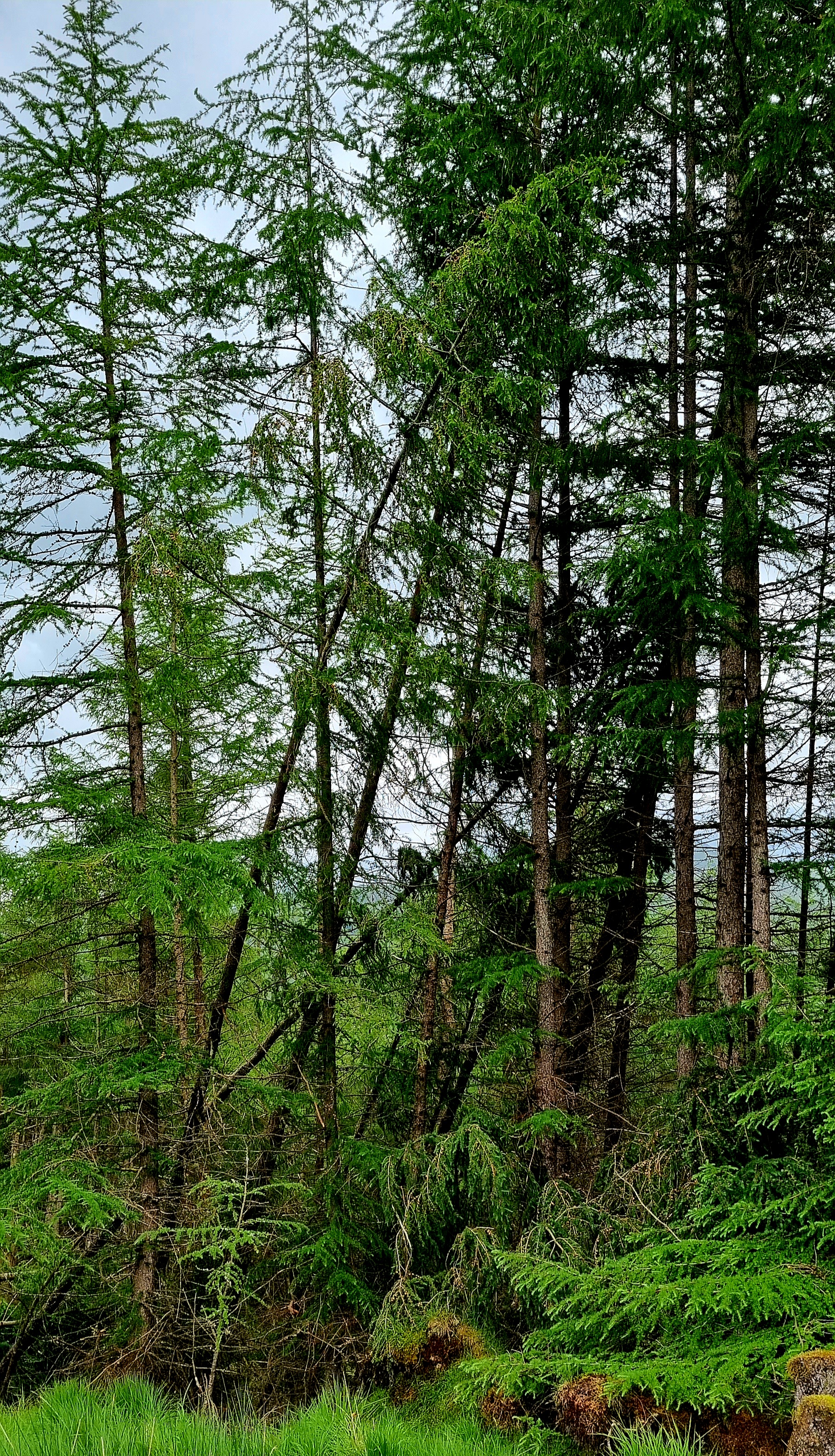
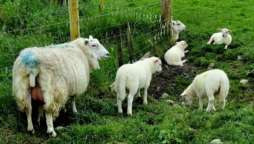
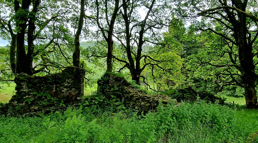
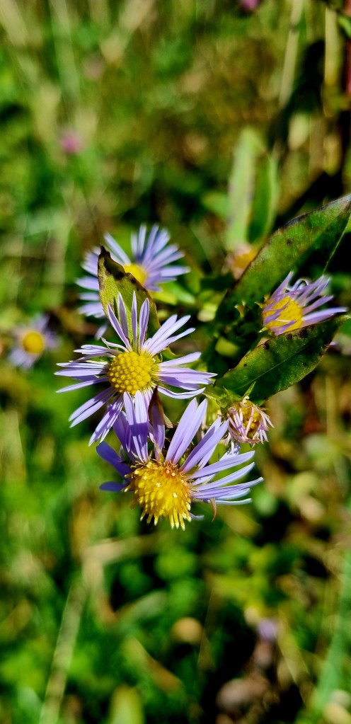
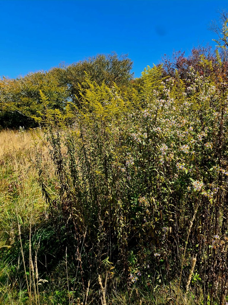
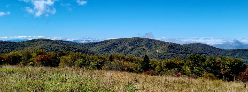
Huckleberry Knob is the highest peak of the Unicoi Mountains at an elevation of 5,580 ft (1,700m). It’s a beautiful walk through shrub and meadow land and also a bit of a forest.
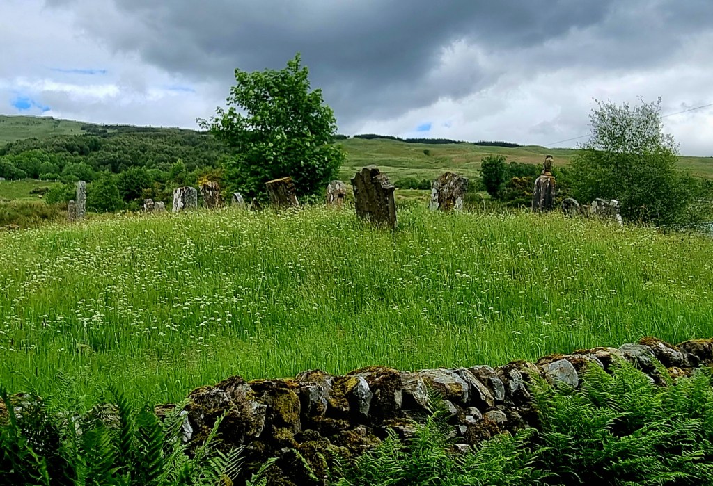
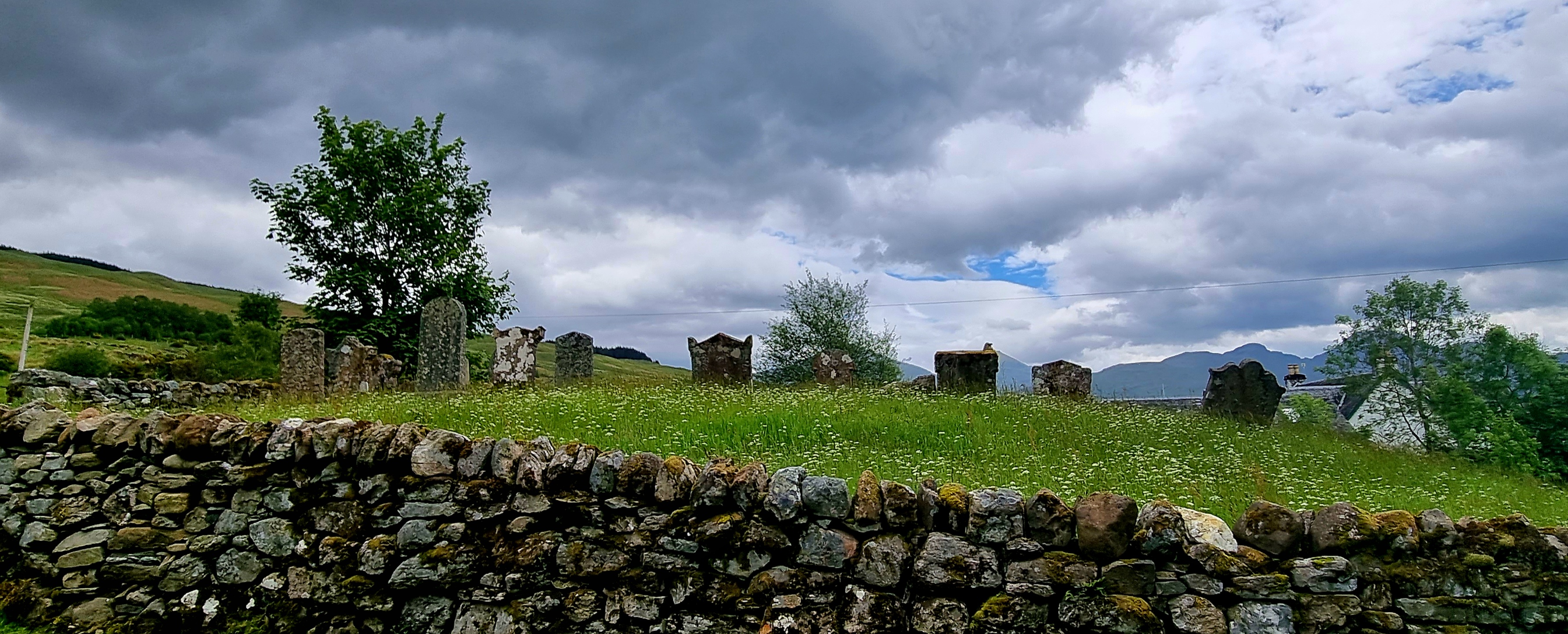
On the way up we passed the grave for Andy Sherman. Back in 1899, Andy and his friend Paul O’Neil, left Tellico Creek to get to Robbinsville for Christmas. They never made it. Their bodies were discovered in September 1990, along with some whisky jugs. It appears they froze to death as they were lost and drunk. Paul’s bodies was donated as a medical exhibit but Andy’s body had been badly mangled by wild animals so was buried on the trail.

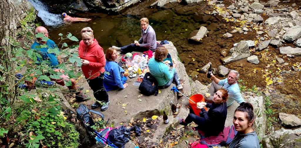
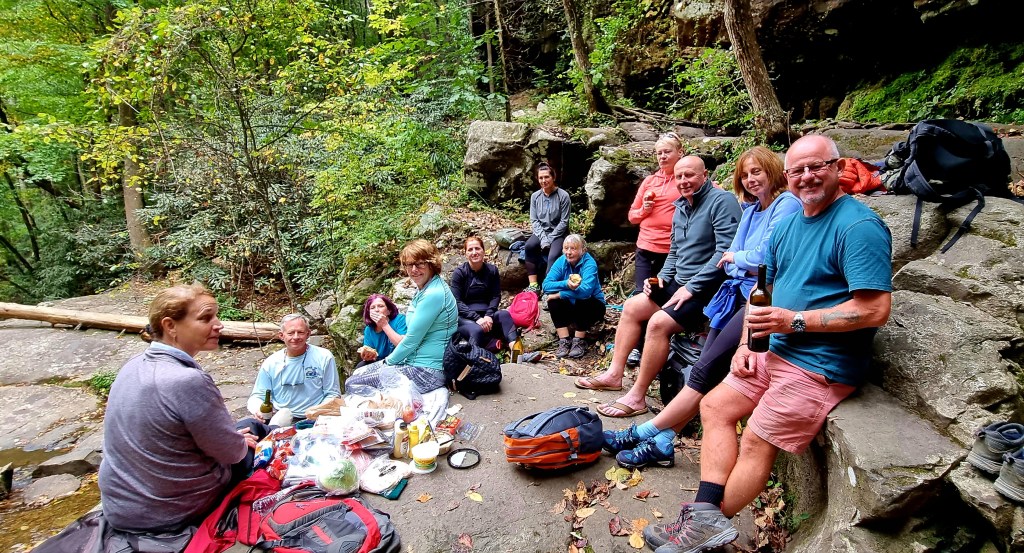
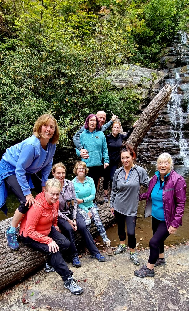
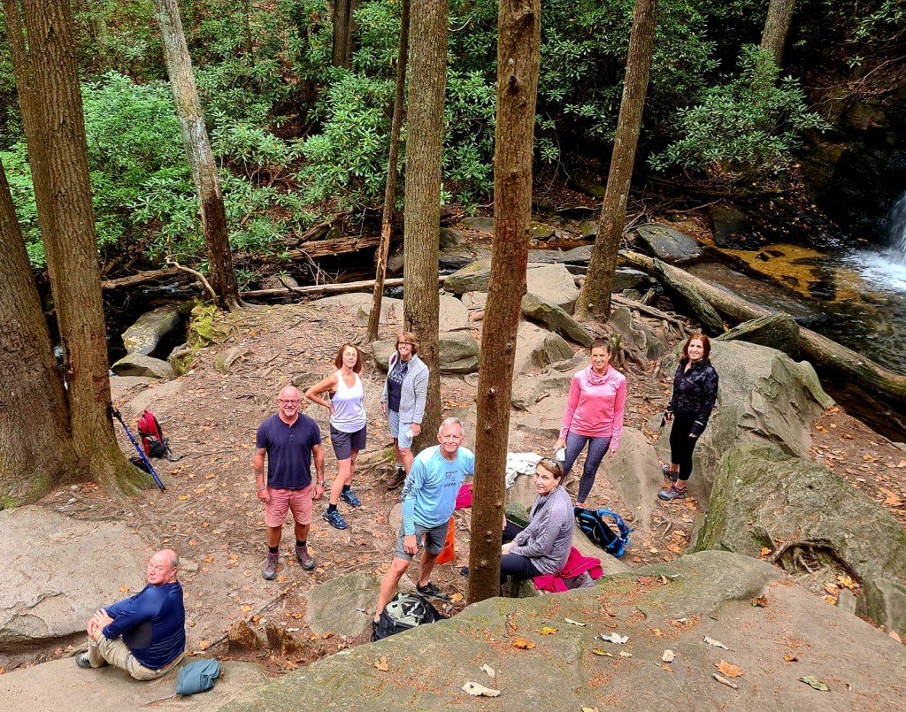
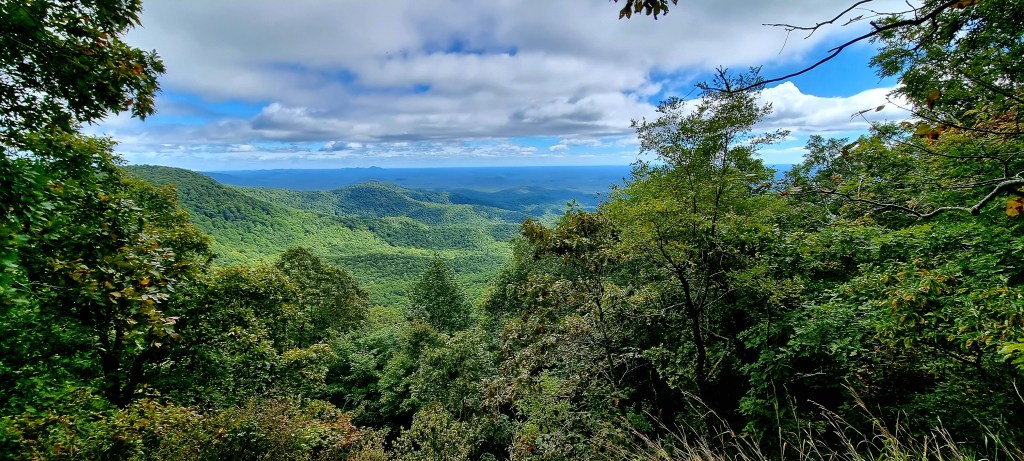
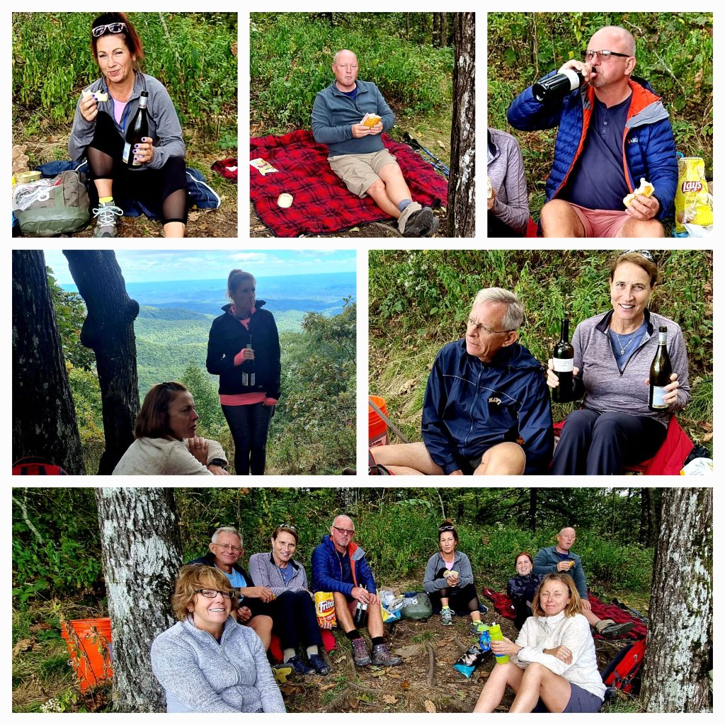
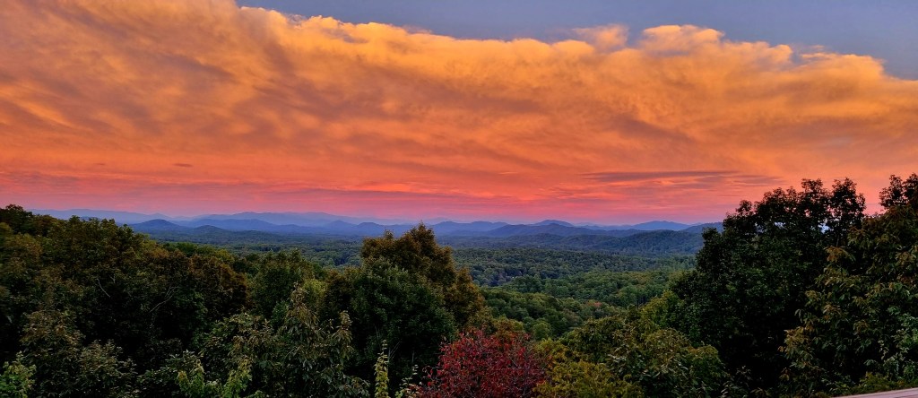
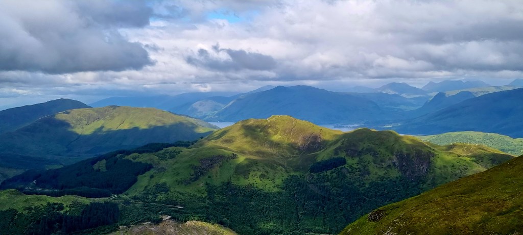
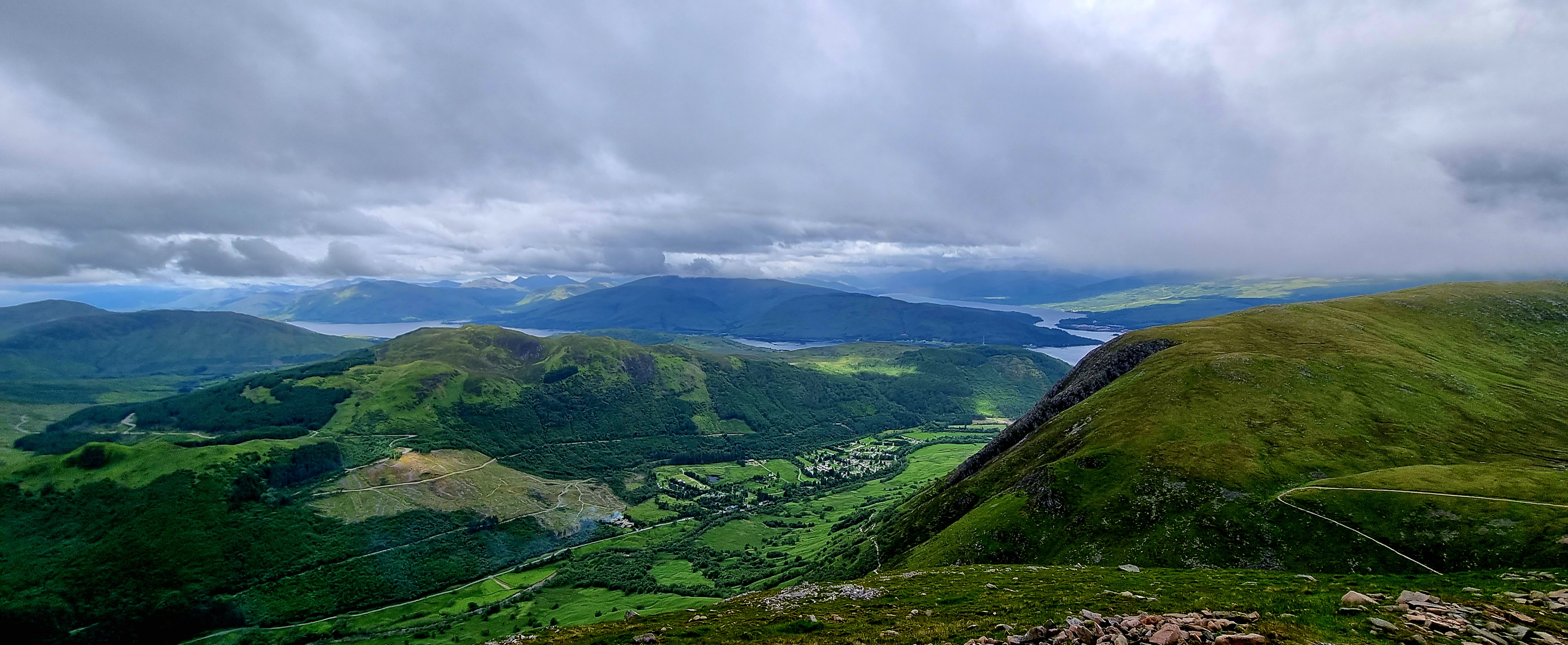
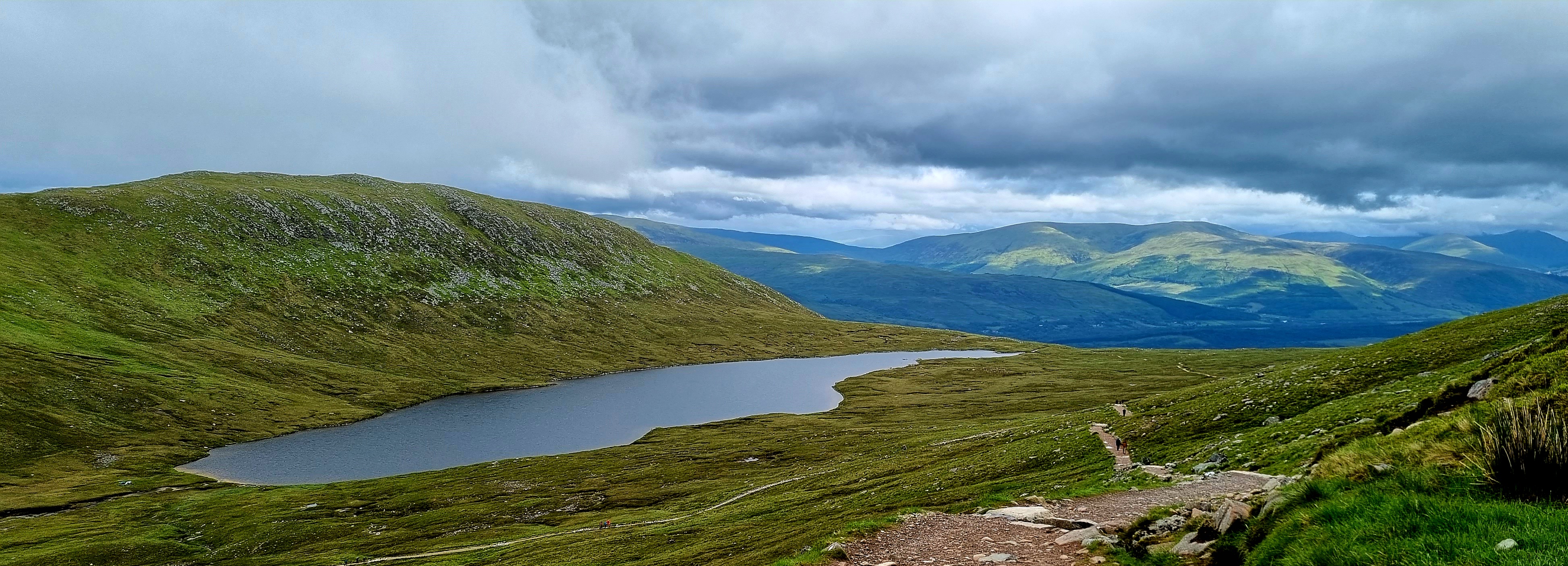
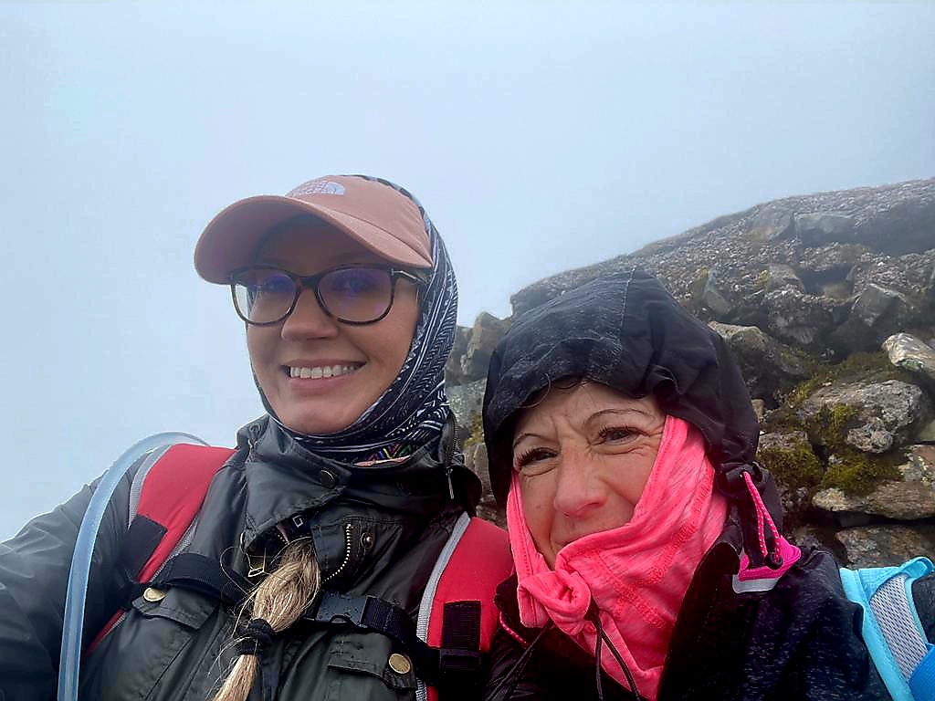
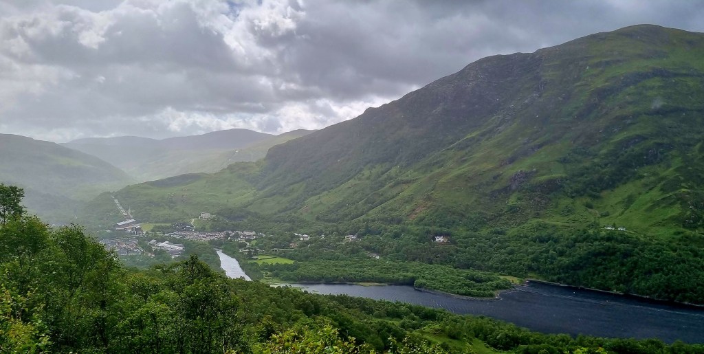
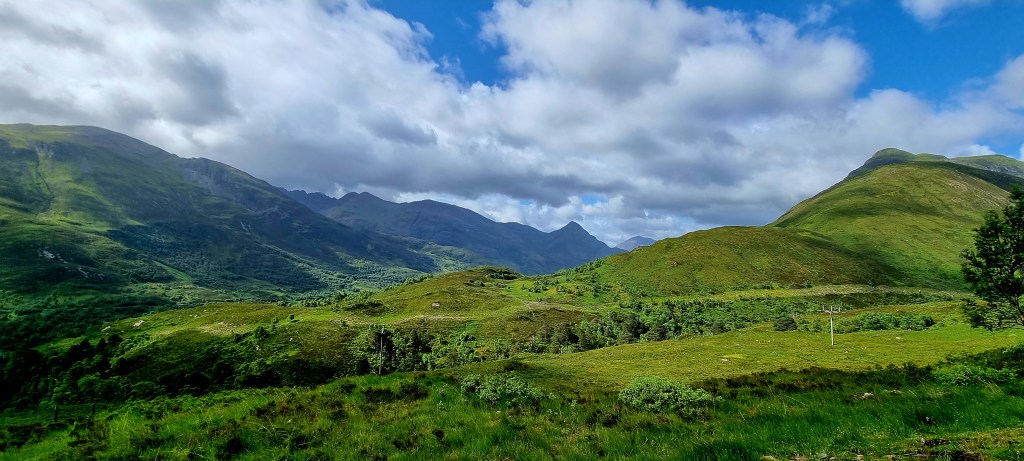
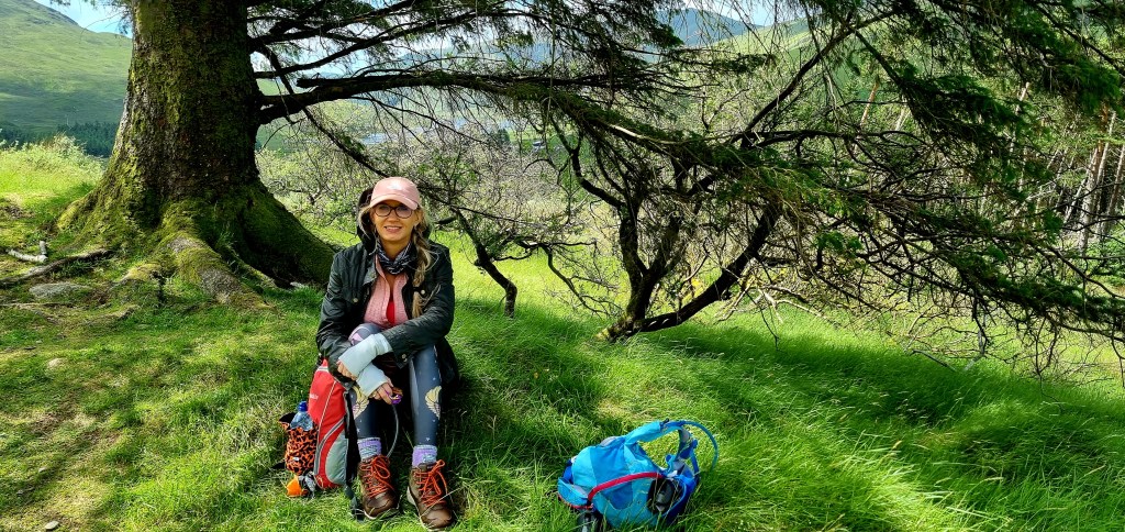
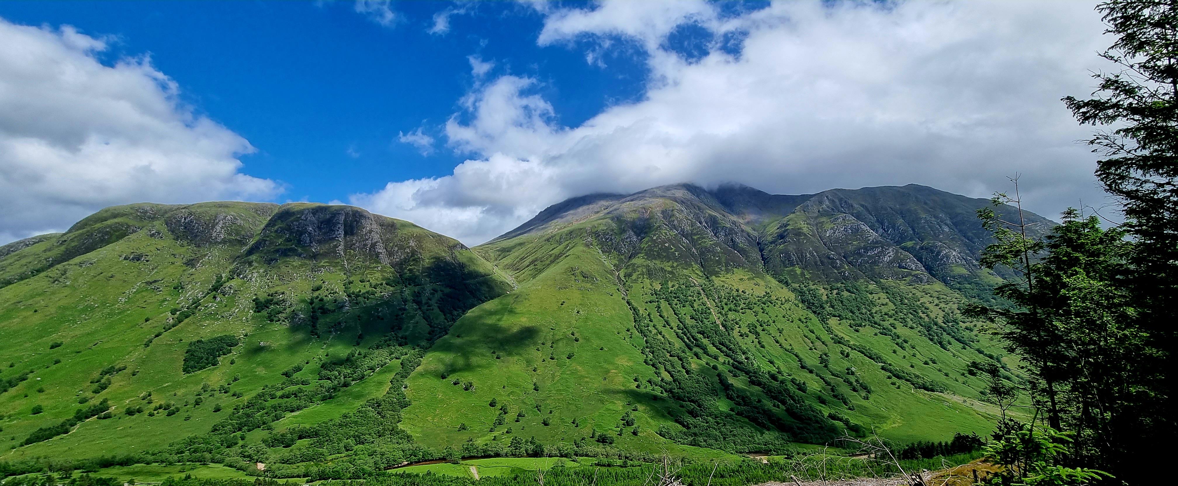
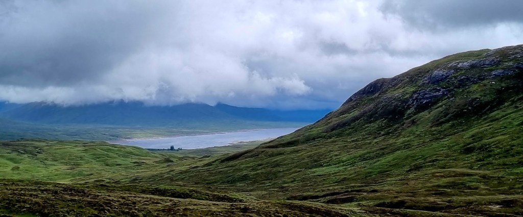
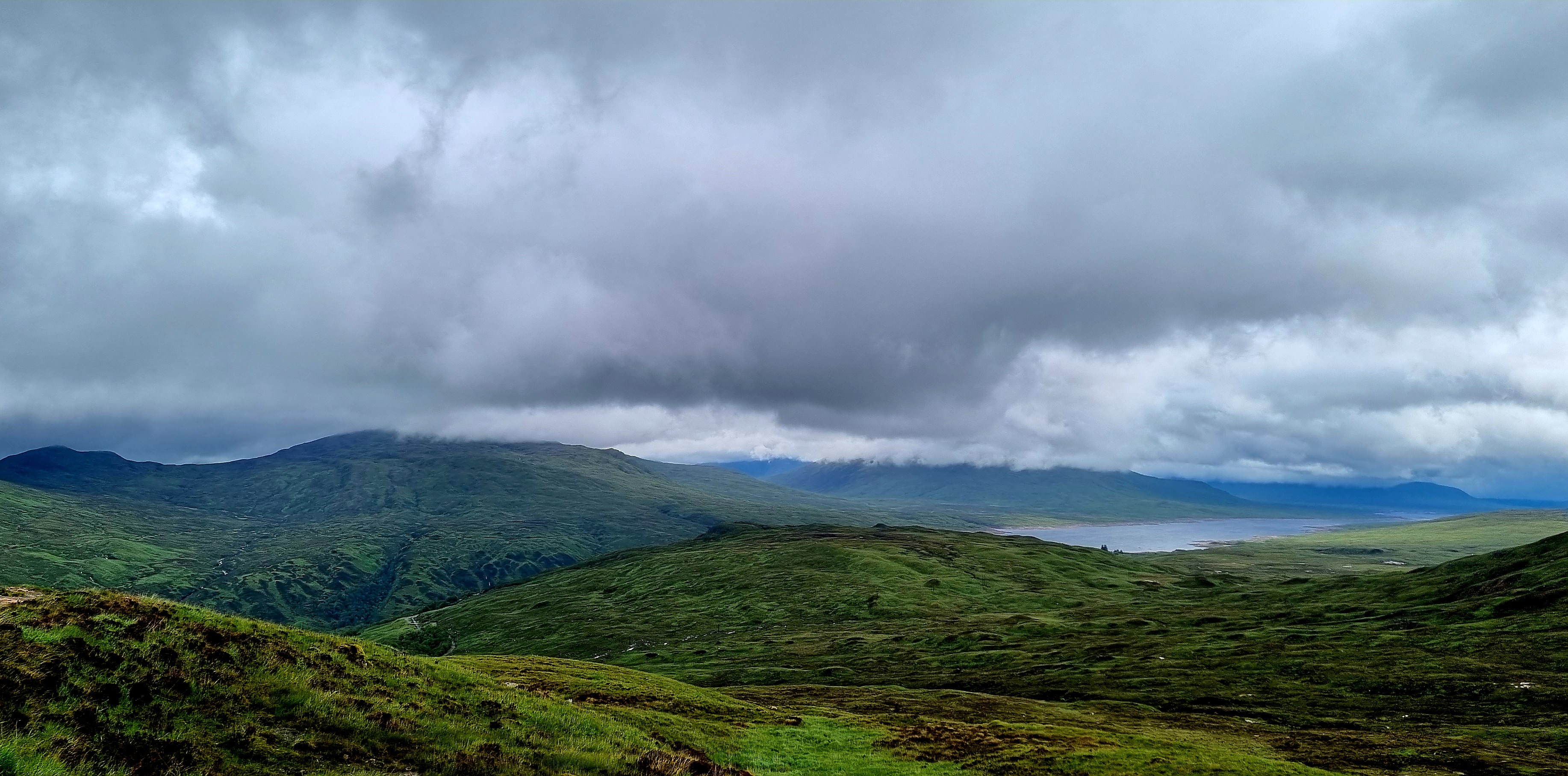
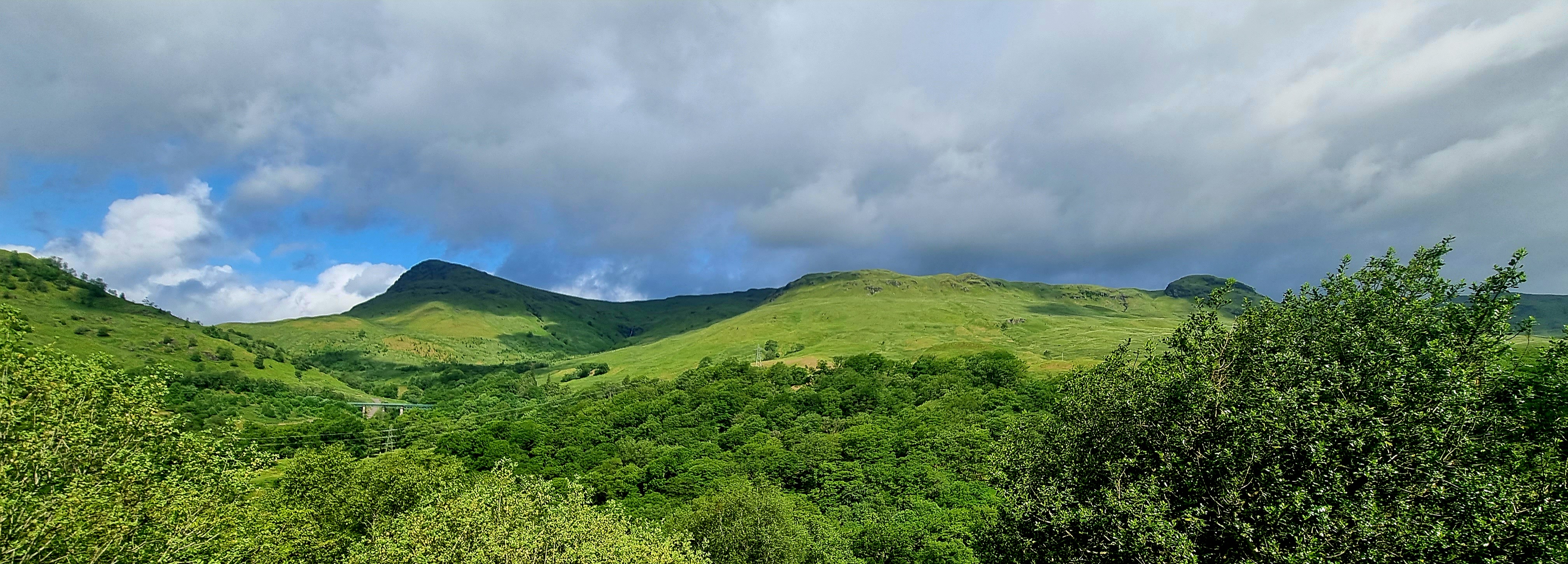
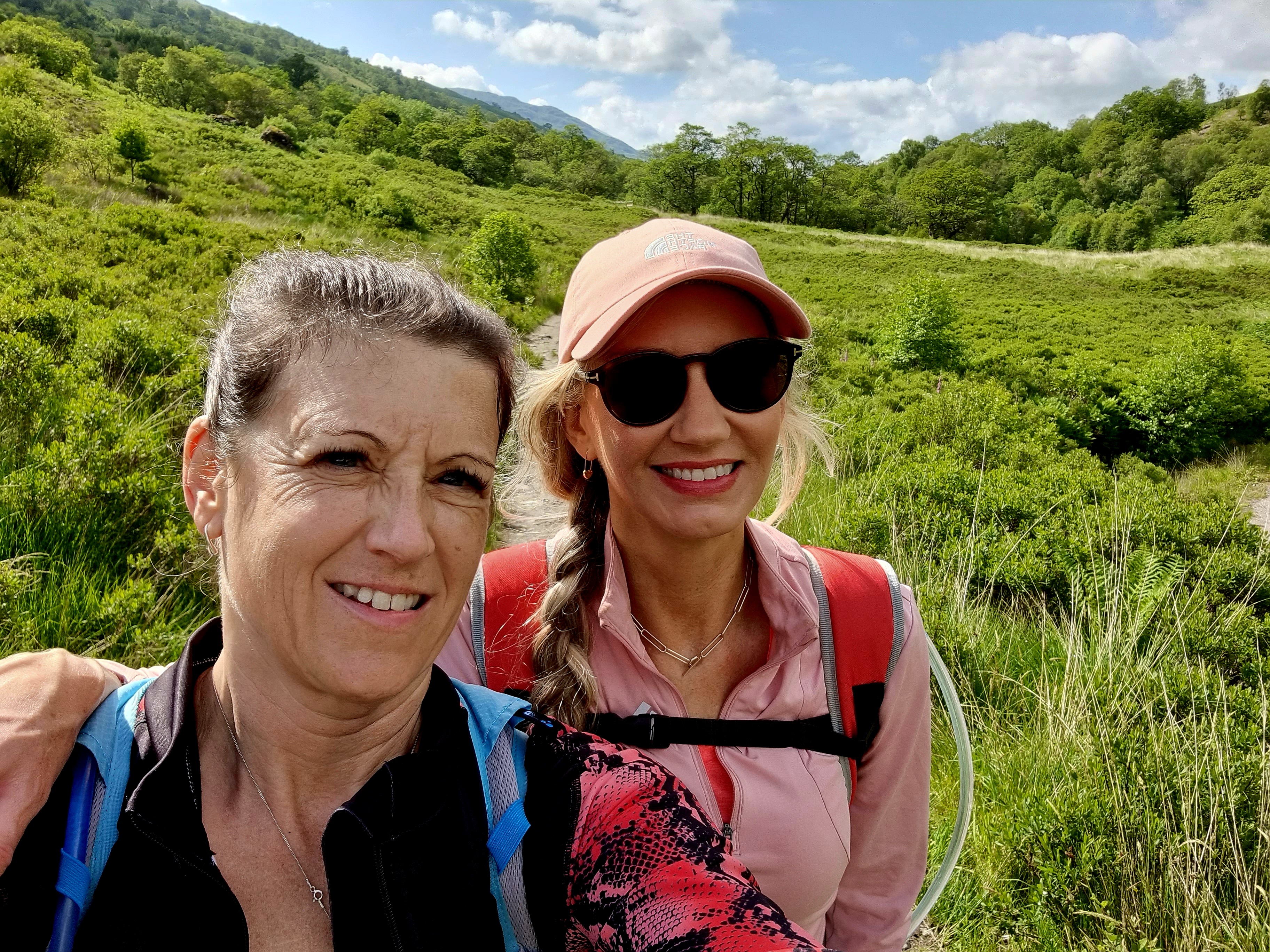
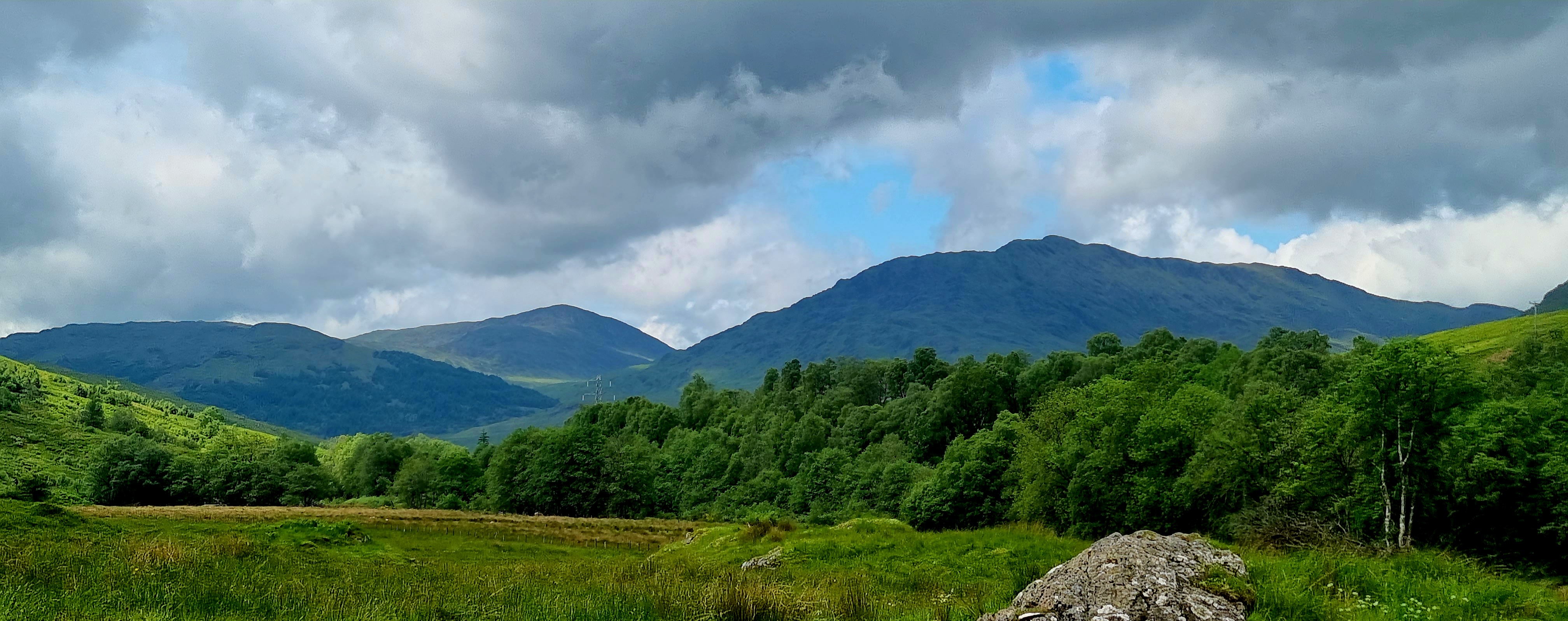
At the top you had a 360 degree view, which was amazing. We stopped in the sunshine to have a picnic and take in the views.

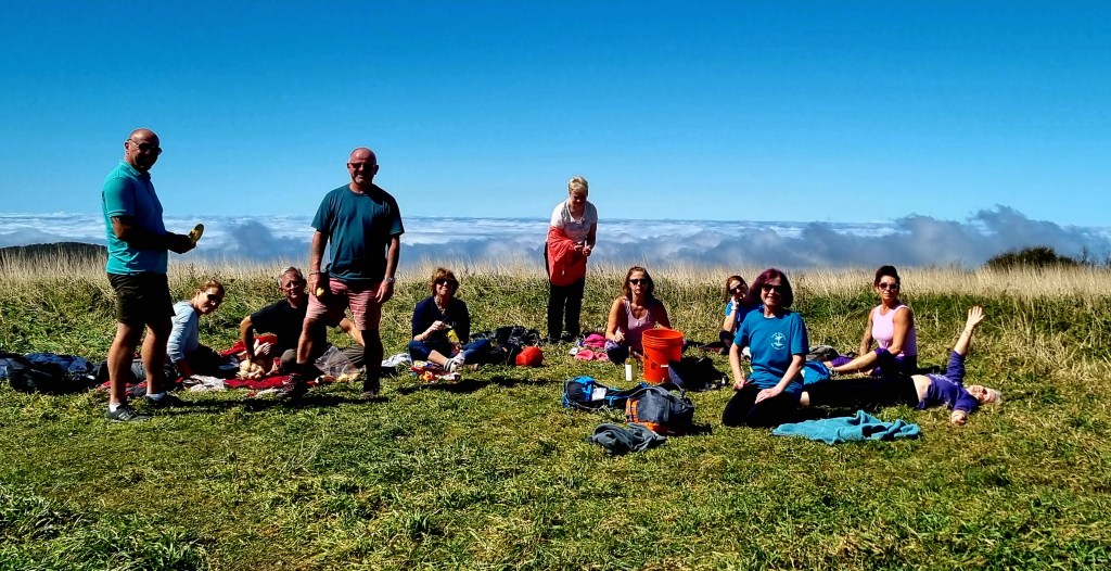
We sunbathed for a little while before heading back down to the bus.
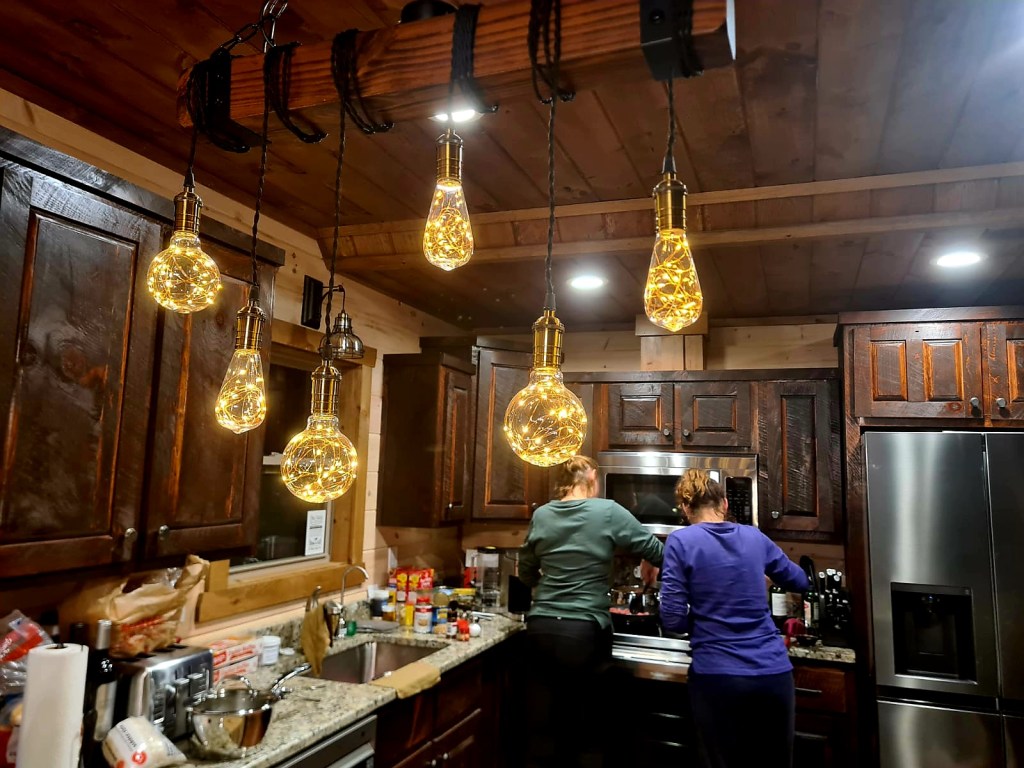
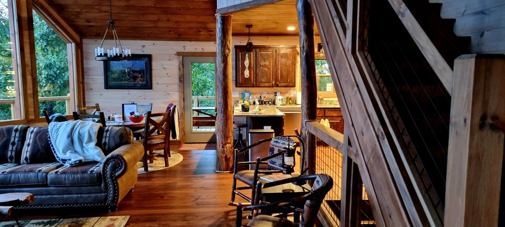
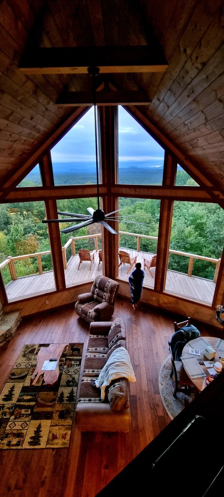
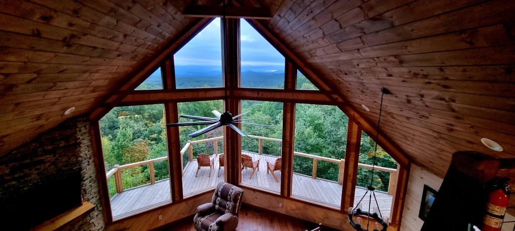
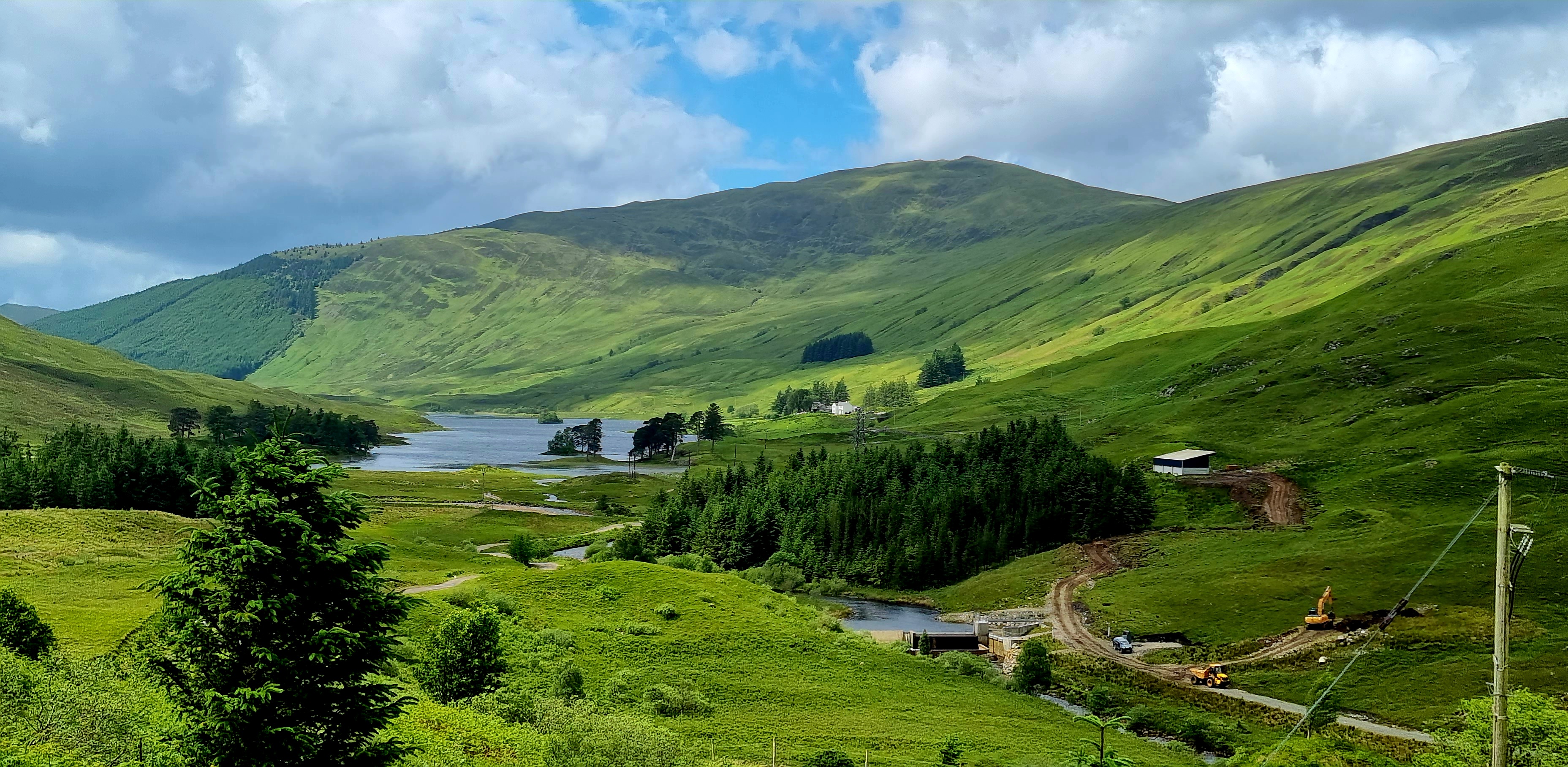
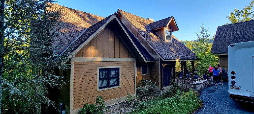
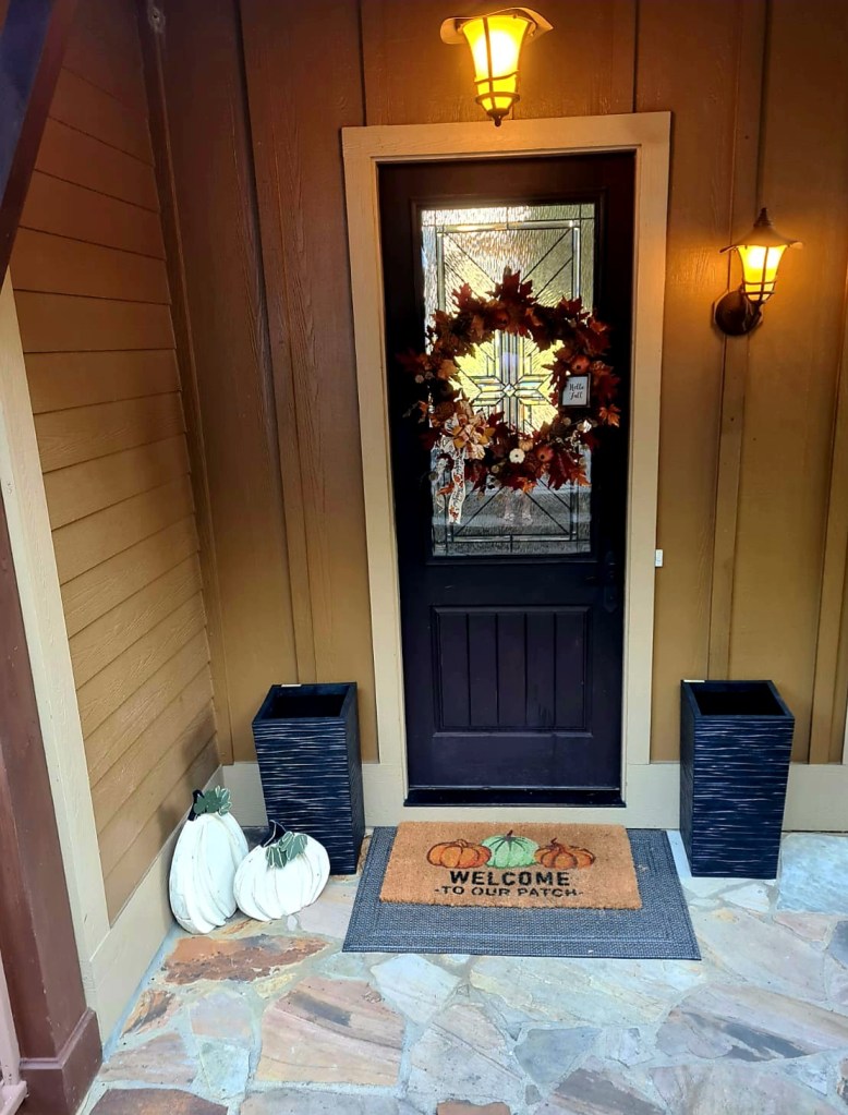
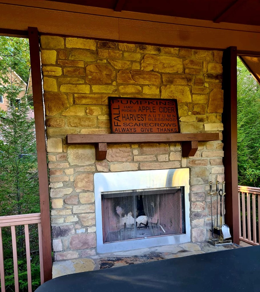
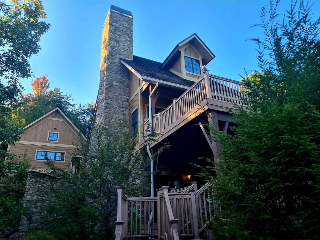
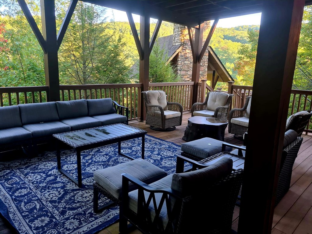
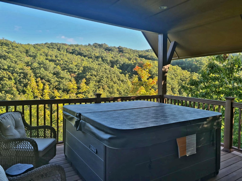
It was then quite a bit of a drive to our new lodge, Otter Ridge, in Gatlinburg. This lodge is gorgeous and sleeps all 13 of us.
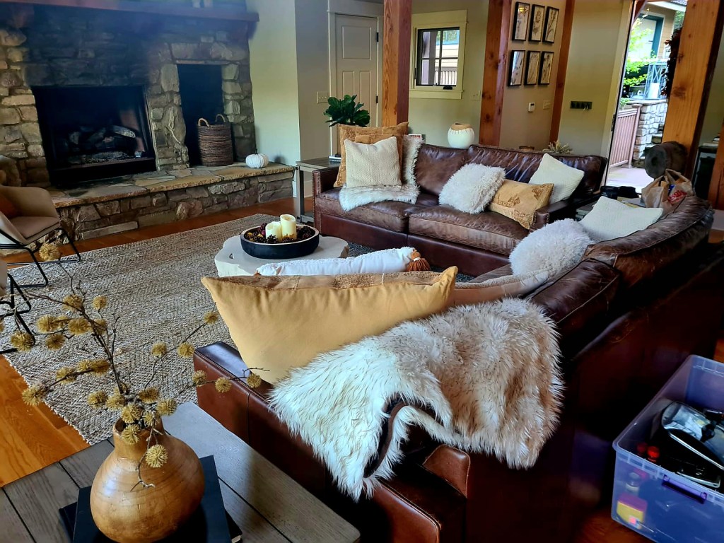
We had a quite night in with takeaway pizza and I think most of us were in bed by 10pm.