Today, we decided to do a Levada walk. One of the best and most popular ones we could find was the 25 Fountains trail starting at Rabacal.
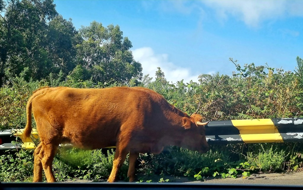
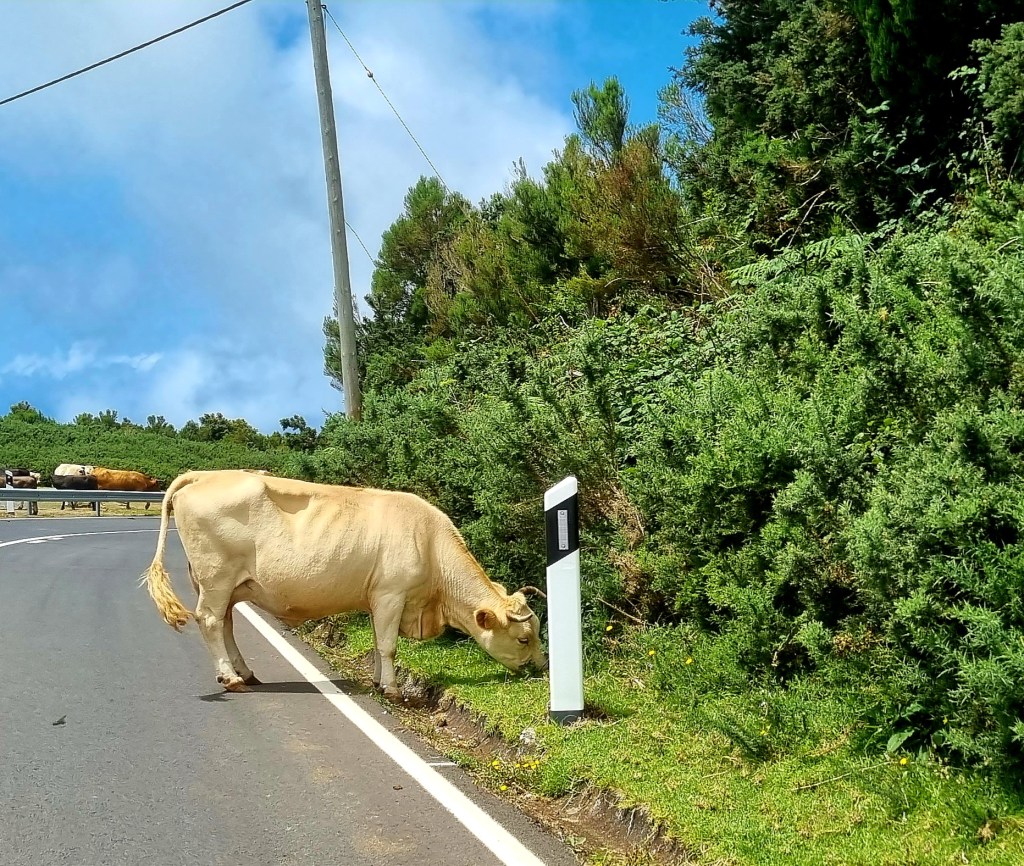
So after breakfast, we drove over to the car park close to where the walk begins. There were a few cows just wandering on the roads as we drove along.
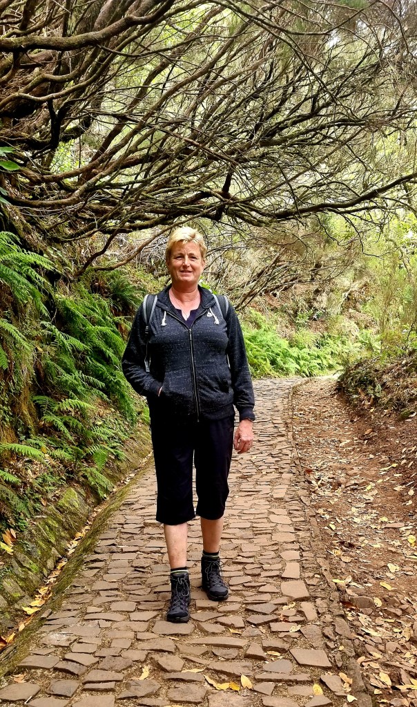
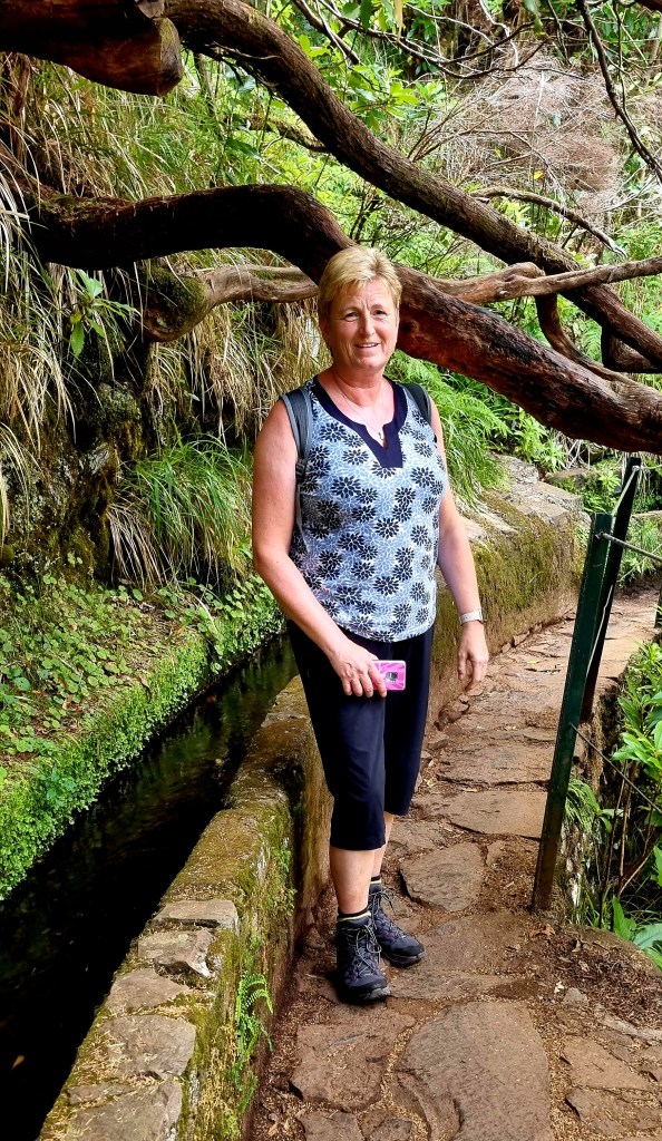
When we parked up, it was quite cold and windy, so I put all my layers on!

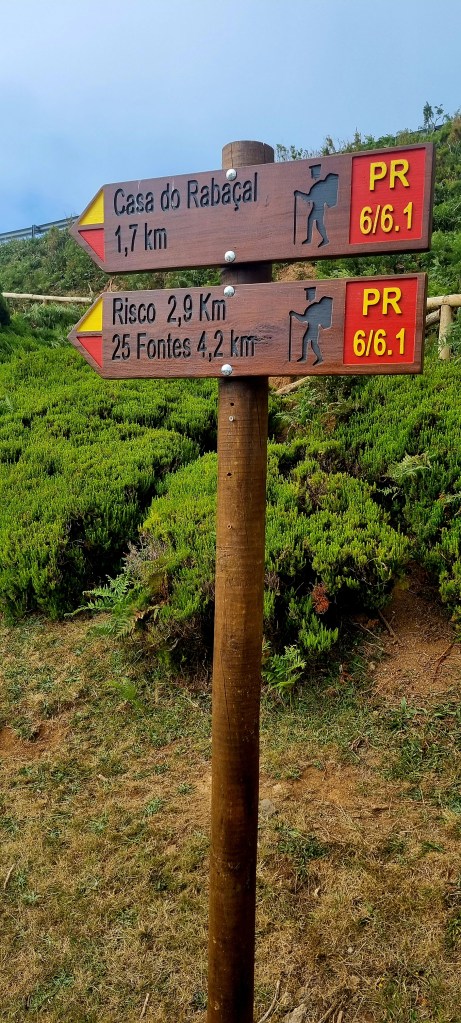
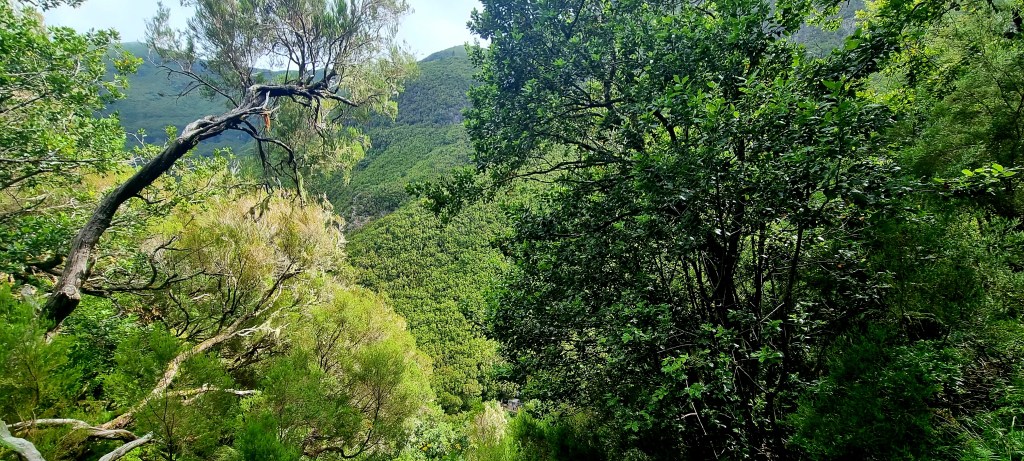
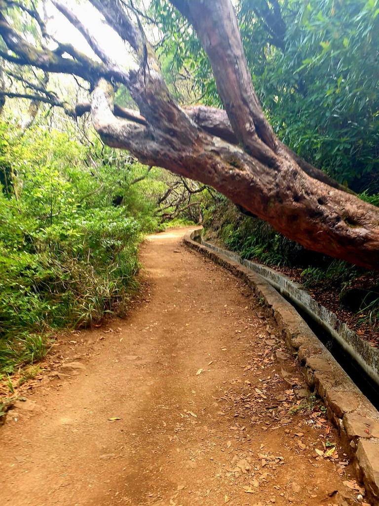
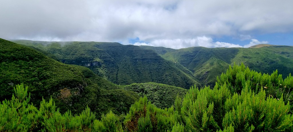
The trail was well signposted, and we had to walk around 2km from the car park to the start of the trail. But the views were already pretty good.

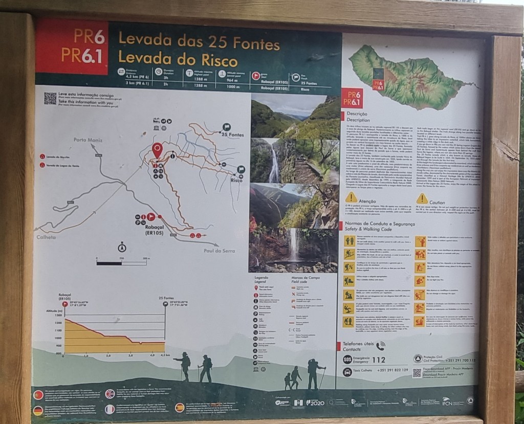
Once we got to the start, there was a board showing the trails and signs telling us which direction to go in.
We decided to go and see the waterfall at Risco and then do the 25 waterfall trail.
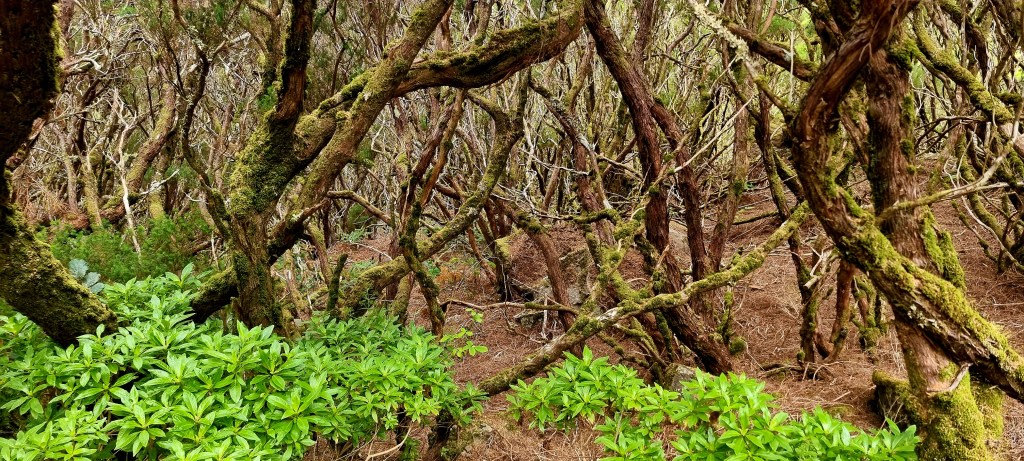
The area we were walking in was all laurel forest. These forests survived the ice age and can now only be found on Madeira, the Canaries, the Azores, and in tropical West Africa. They are known in Portuguese as laurissilva.
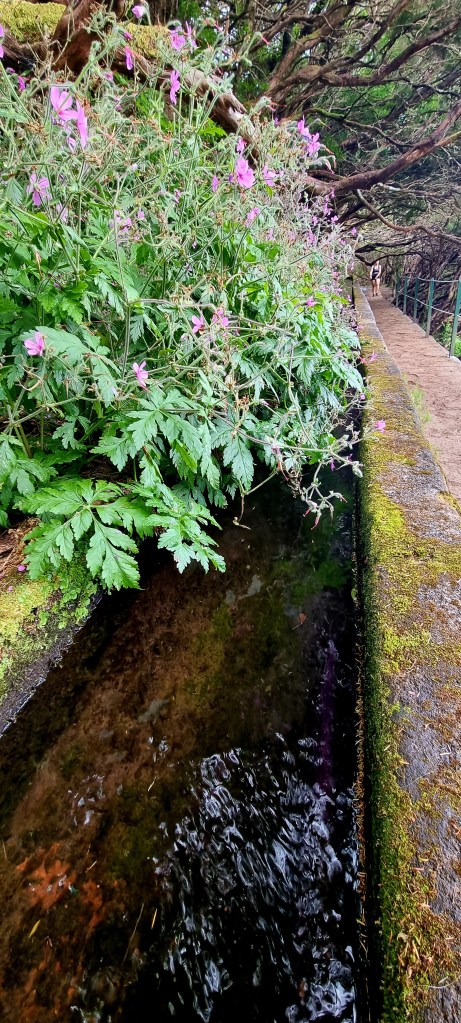
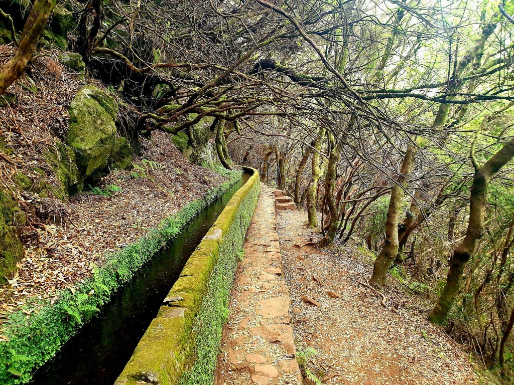
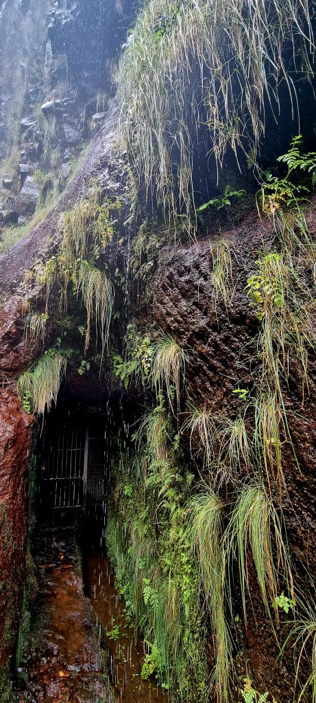
The Levadas are a system of canals or aqueducts, many km in length, built through the mountains and along the faces of steep rocks, to carry water from its origin to where it is needed.
From the 15th to the 16th century, the levadas were built in the coastal areas, extending to the agricultural zone, which was around 300m above sea level. They were not very long and were mainly built in volcanic tuffs or with wooden boards.
From the 16th to the 18th century, with the increase in agriculture, the network of levadas grew and extended to 600m above sea level. They started to be built in basaltic stone masonry. The workers building the levadas faced many dangers, including falling off rocks and being hit by falling rocks. Where it wasn’t possible to pass, the workers were placed in baskets tied to trees or rocks. Quite a few of them died.
In the 19th century, the state started to fund the building of the levadas. Until then, they were built at the expense of the owners of the springs or those who wanted the land irrigated. In some cases, several people came together to form an association to build them.
During the 20th century, as the tunnel network began to be built, this helped water to move from the north to the south. The levada network started to extend to 1000m above sea level.
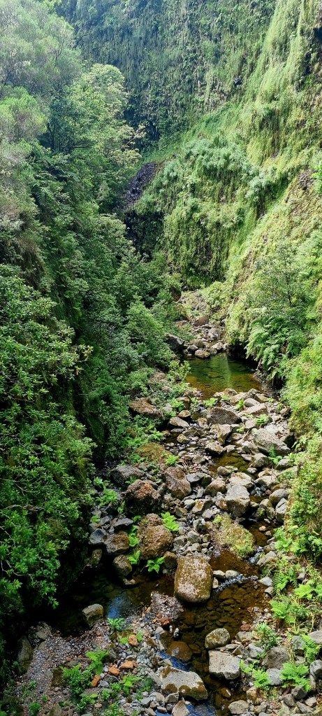
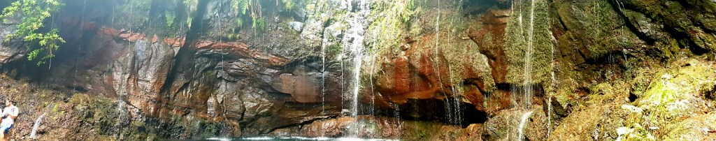
After a little while of walking, we came to the Risco waterfall. The waterfall is 100m high and is made up of different water streams coming down the rocks.
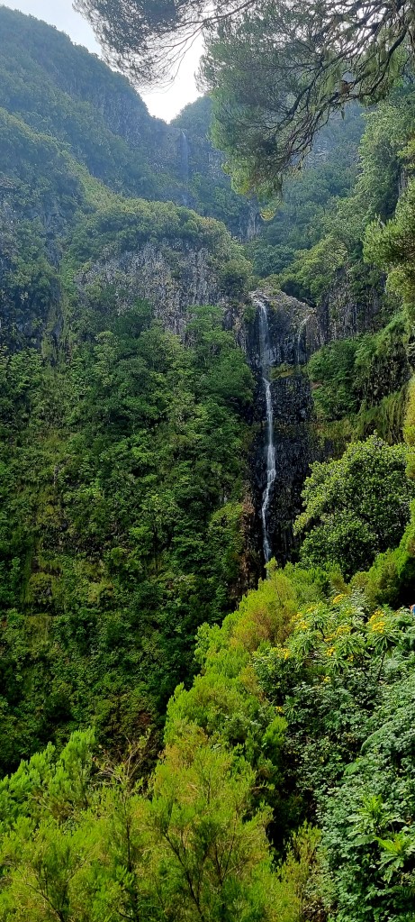
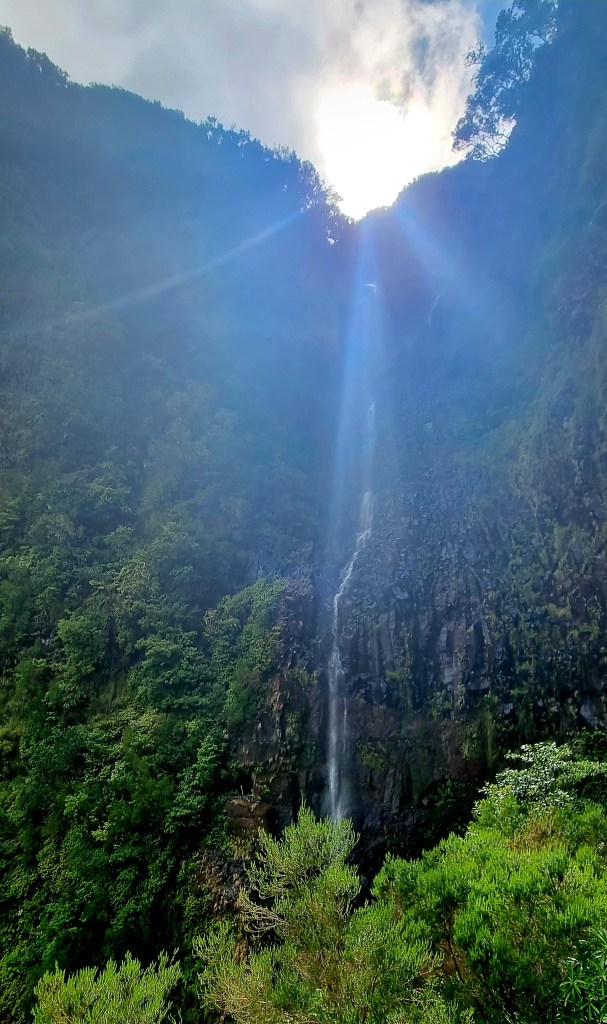
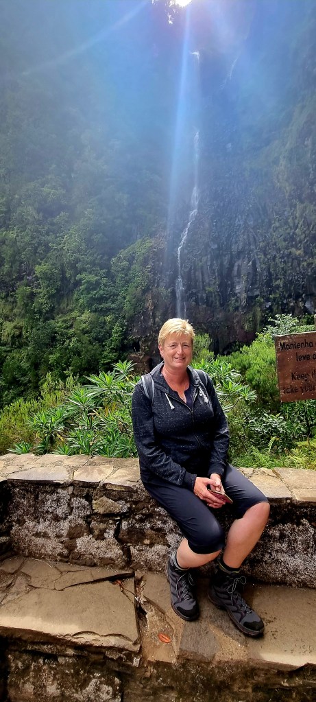
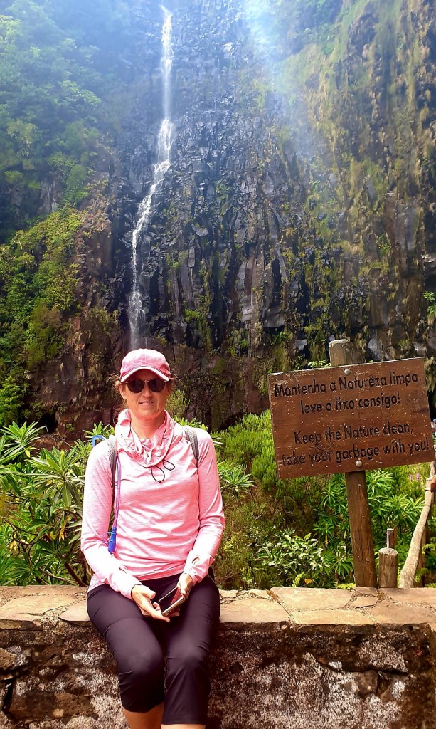
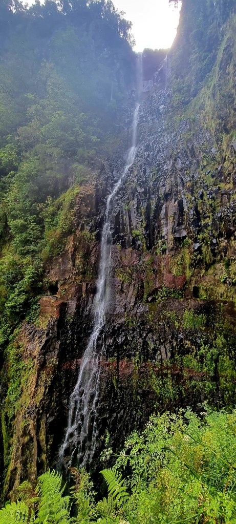
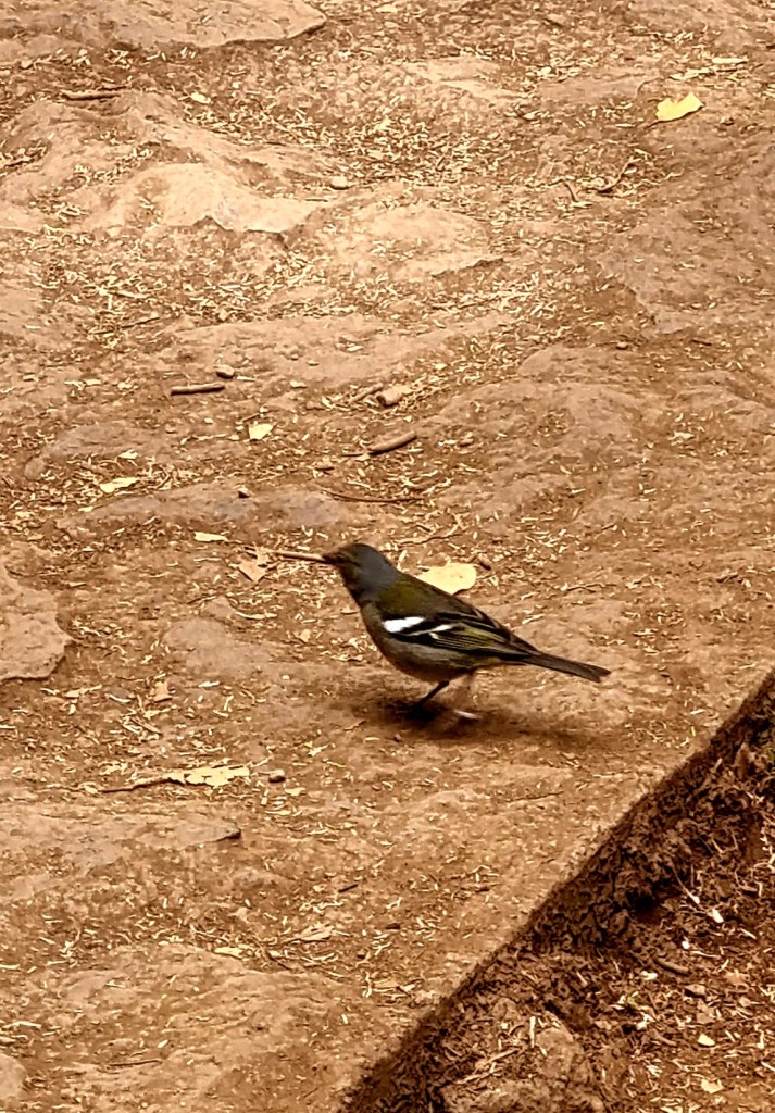
The waterfall was pretty stunning, so we spent a bit of time here admiring the view. All around the trail, by the waterfall, the water was running or dripping down the rocks. We also saw some local birds, I think they were chaffinches.
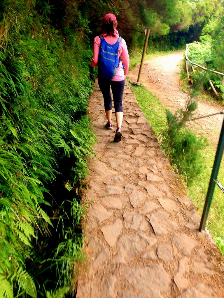
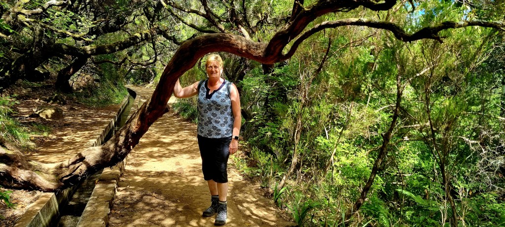
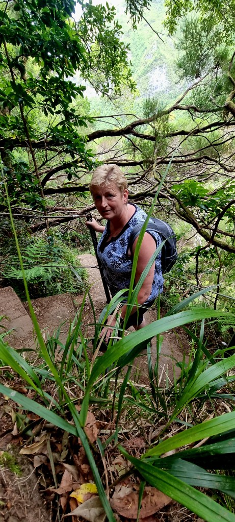
Once we headed back from the waterfall, we took the path to the 25 waterfalls. This path goes through some thick forest, and some of the path ledges are very narrow, making it difficult to pass people coming in the other direction.
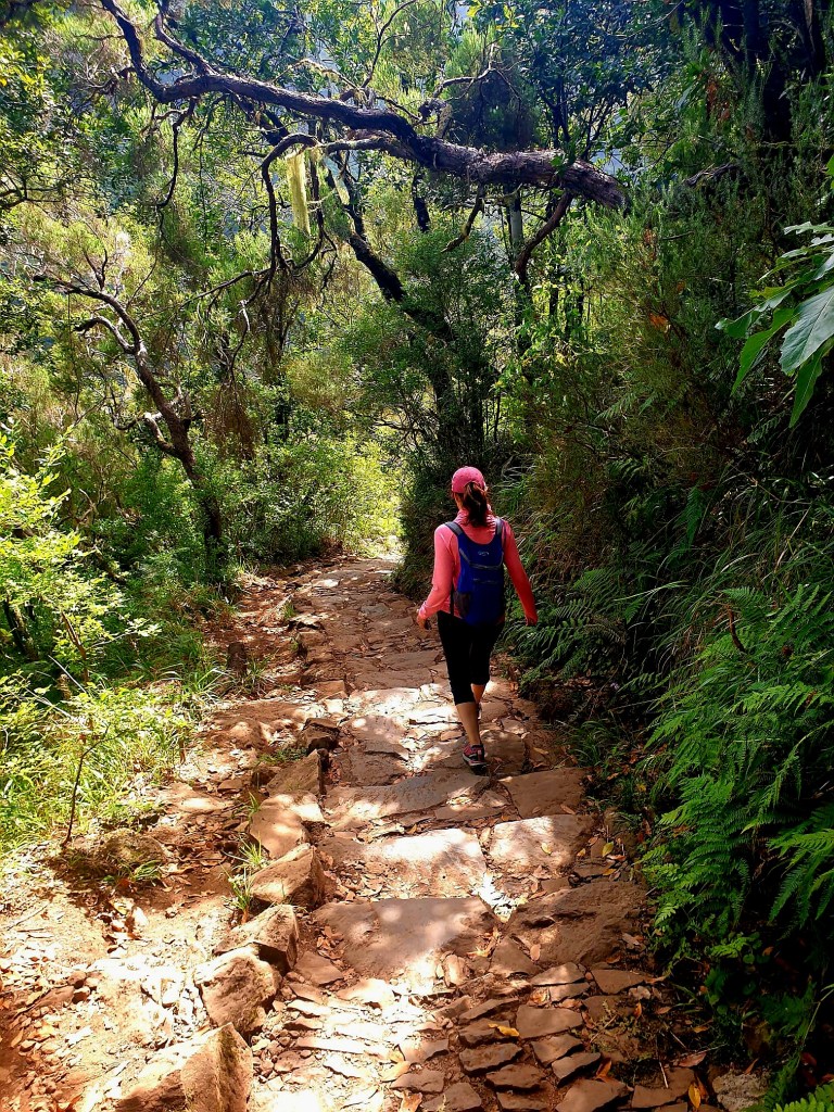
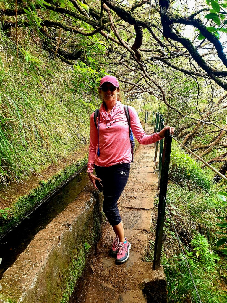
I managed to bump my head a couple of times on the low hanging branches as I was looking at the route on my phone.
The network of levadas in Madeira consists of approximately 3100km of channels, of which around 80km are in tunnels. The levadas feed on the water from the springs, the flow of streams, and from the water captured in the gullies in the rocks. The levadas have to have a minimum slope of 1/10000m to ensure the water flows.
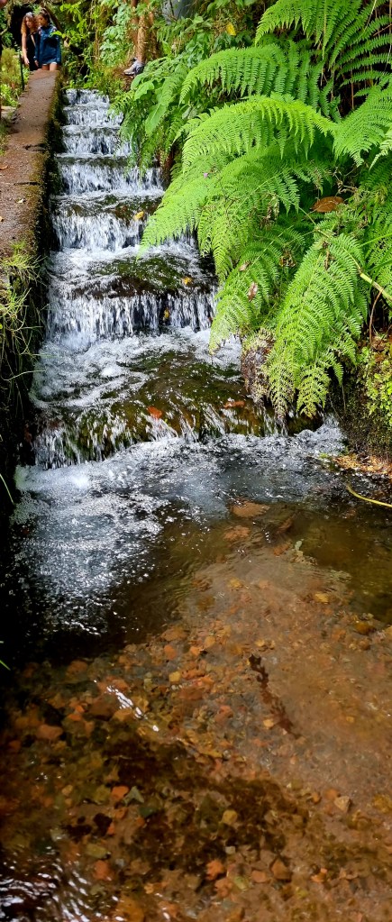
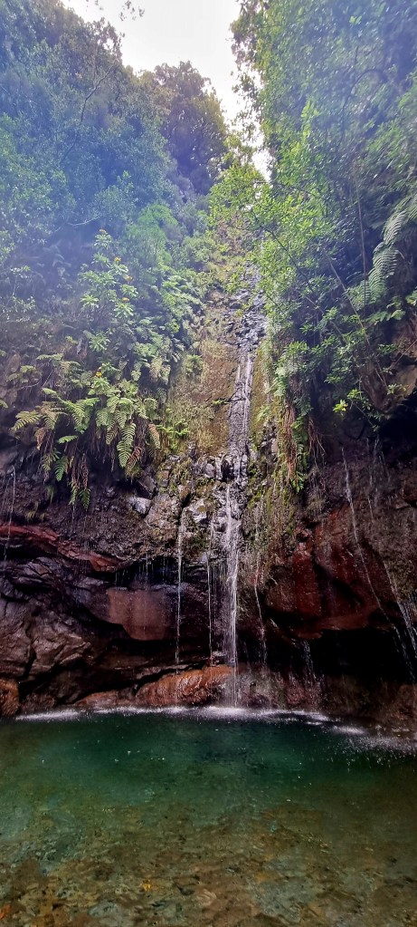
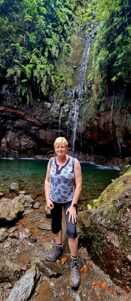
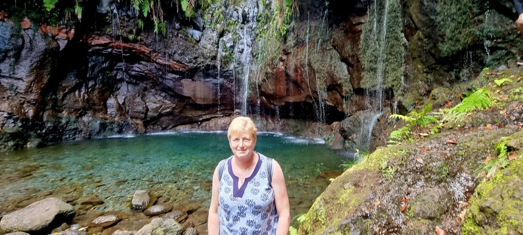
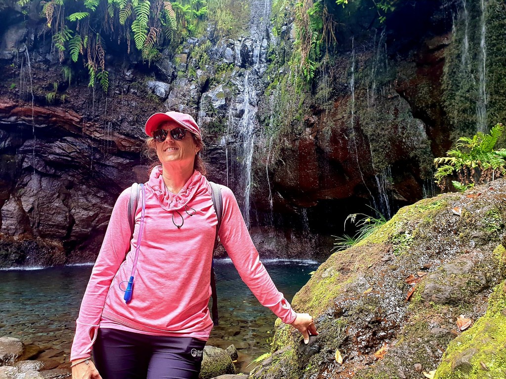
After a while, we reached the 25 fountains! This weeping wall of waterfalls is something special.

It was quite busy in the area, and a couple of ladies decided to go for a quick dip.
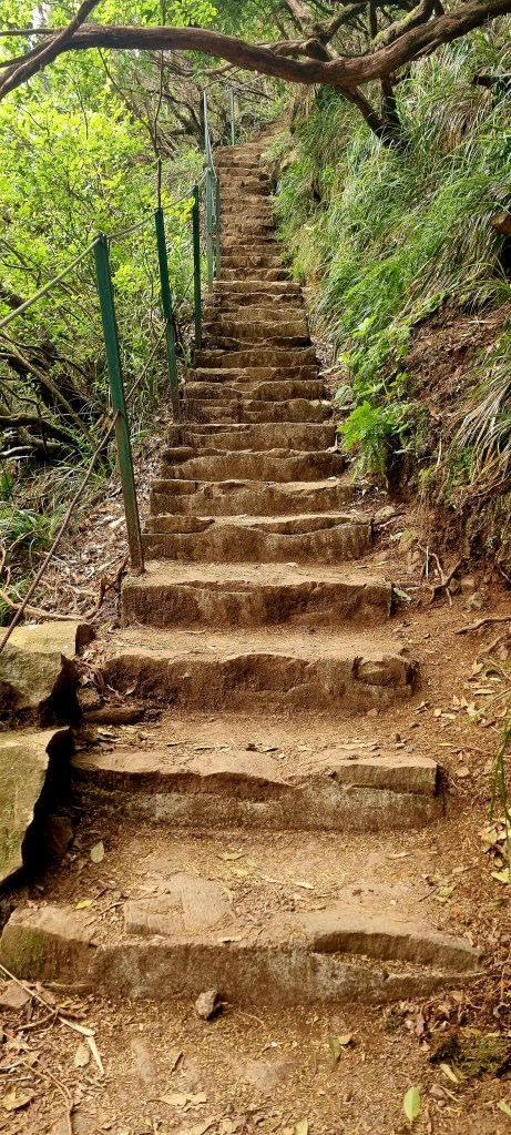
We headed back to try and do a circular route, but one of the paths we wanted to go down was cordoned off. After looking on maps.me, we decided on another route. Unfortunately, we didn’t realise how steep it would be. It was just walking up steps for around 30 minutes!

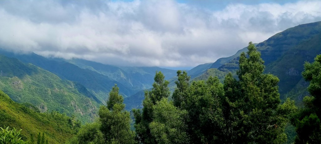
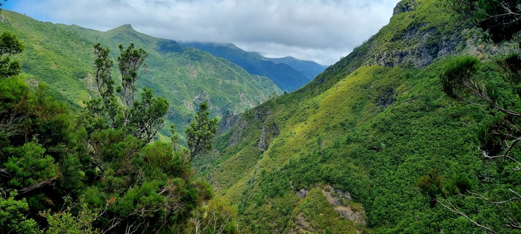
Eventually, we got to the top. The path that was supposed to go off to the left didn’t actually exist, and after walking for a while at the top of the mountain, we realised it would take us around 3 hours to get back to the car park. The views from the top were good.
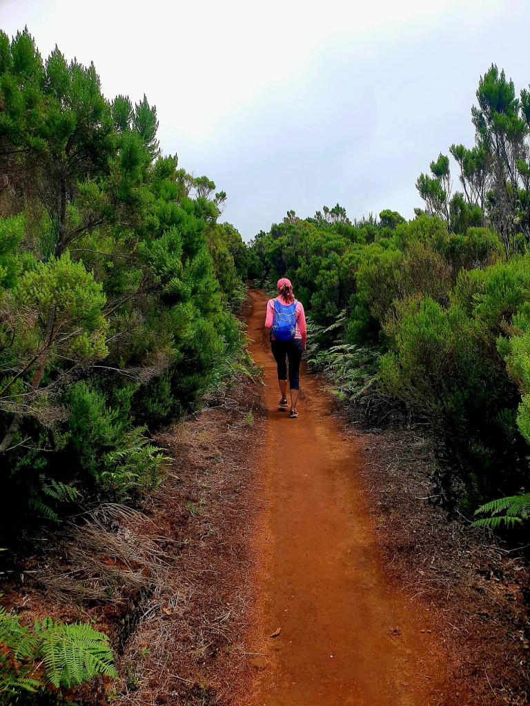

Looking at the map again, we could see that if we went back onto the road, we could walk along the road to the car park, taking about 90 minutes.

We walked for around 20 minutes on the road. If we heard a car go past, we stuck out our thumbs, and after 4 or 5 passed us, one actually stopped. It was a fairly young German couple, and they dropped us back to our car, we were very grateful.

We passed some more cows on the road as we headed to Porto Moinz, the most northwesterly point of the island.
Porto Moinz is a lovely coastal town and is named after one of the first settlers on Madeira: Francisco Moniz O Velho. He was an aristocrat from the Algarve region.
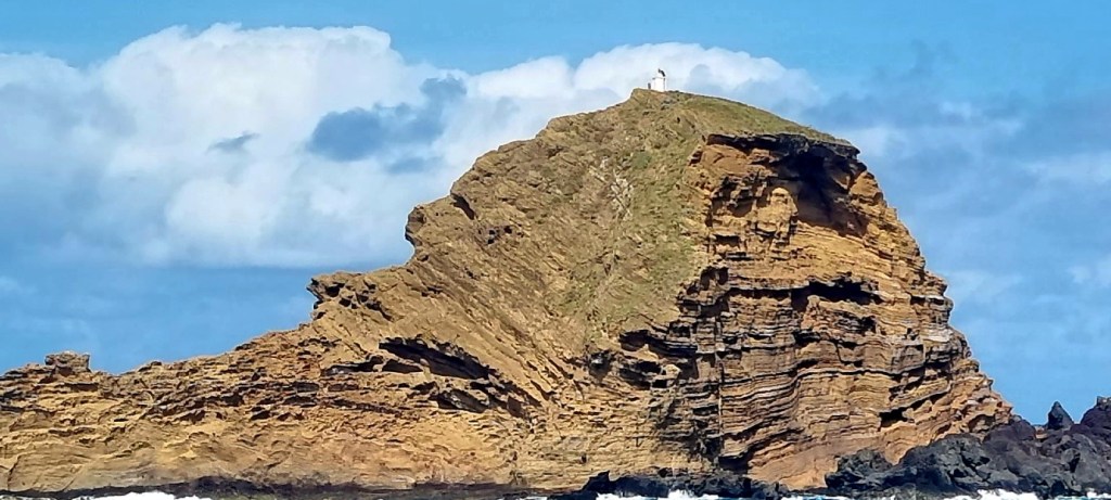
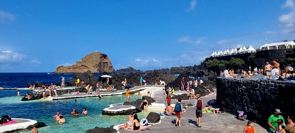
There is a small island right by Porto Moinz with a lighthouse at the top, 62m above sea level. The island is a lava dome that has partially fallen into the sea because of erosion.
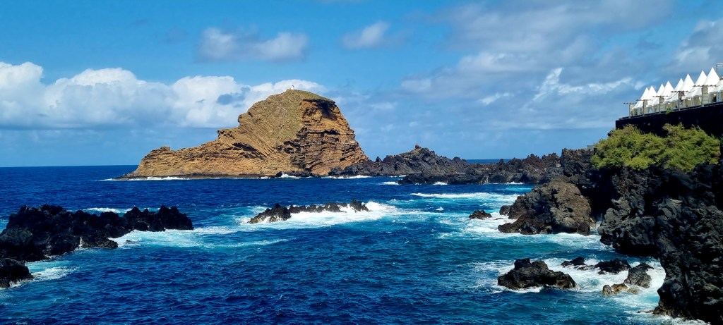
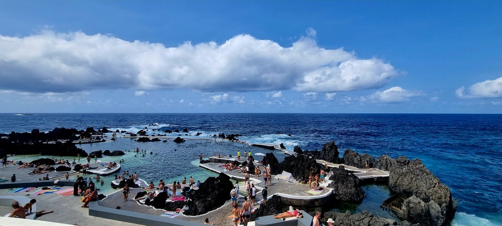
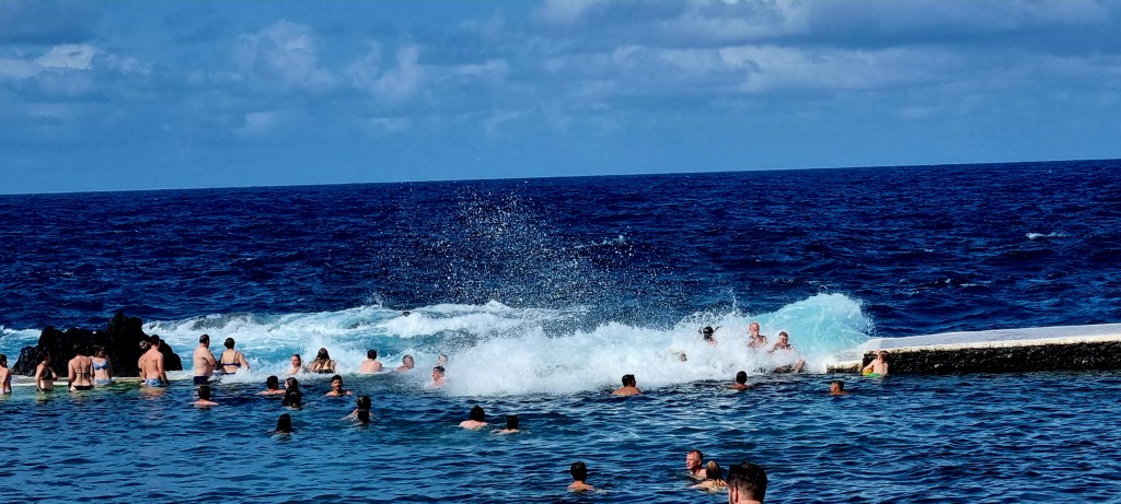
Porto Moinz is best known for its natural pools formed from the volcanic rocks. We paid them a visit and had a little swim, as well as getting battered by the giant waves as they broke against the rocks.
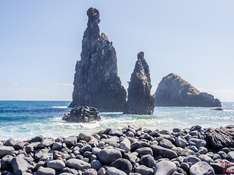
On the drive out of Porto Moinz, we passed Ribeira Janela beach and an interesting ‘window’ rock formation (not my photo).
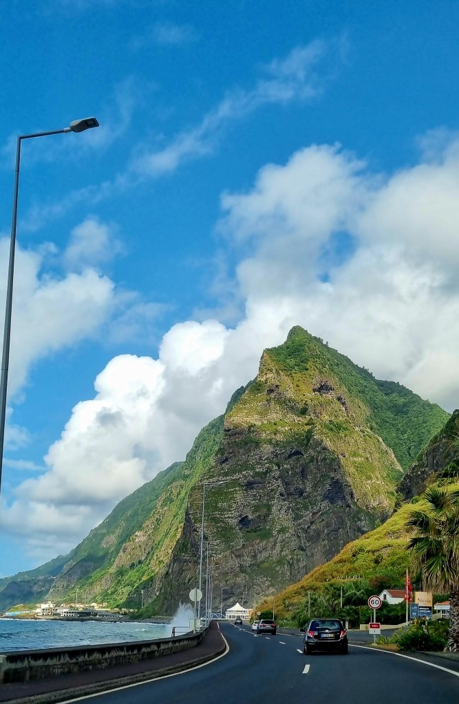
The views from the road were amazing.
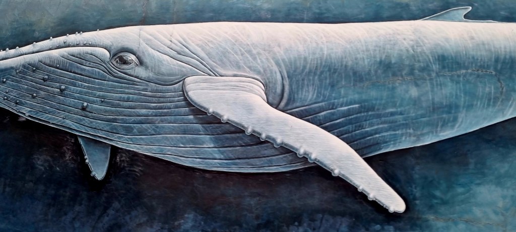
After arriving back at the hotel, we let the car company know the car was ready to pick up before we headed out to Funchal by bus. I managed to get a picture of the whale painting on the wall of the office that we always pass on the bus.
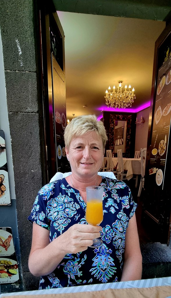
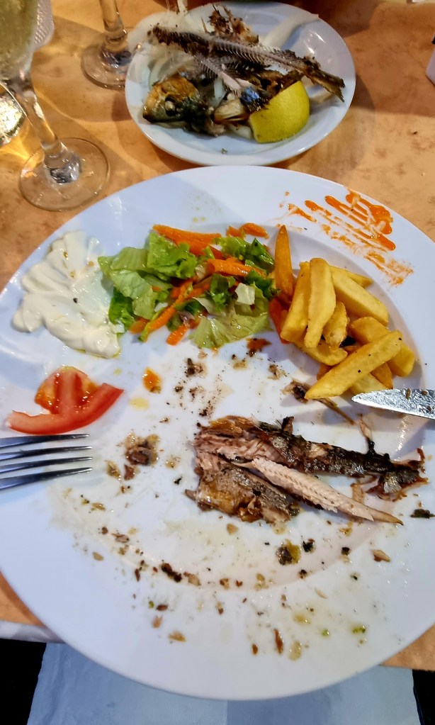
We had dinner at the Piano Bar on Santa Maria Street. We had sardines with Poncha and wine.
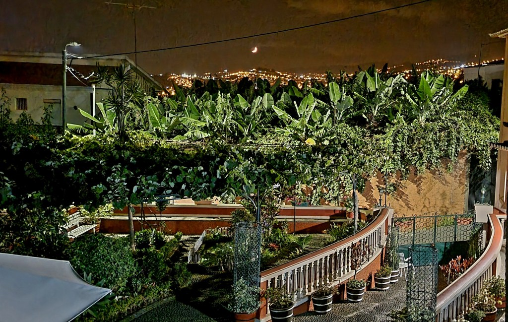
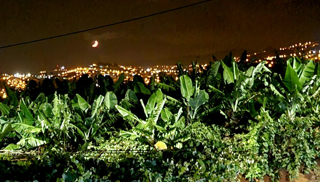
When we got home, we had a little glass of Madeira wine as we admired the moon.