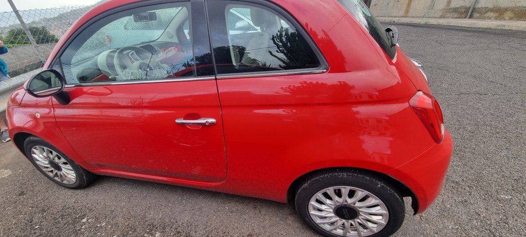
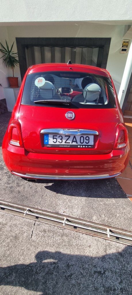
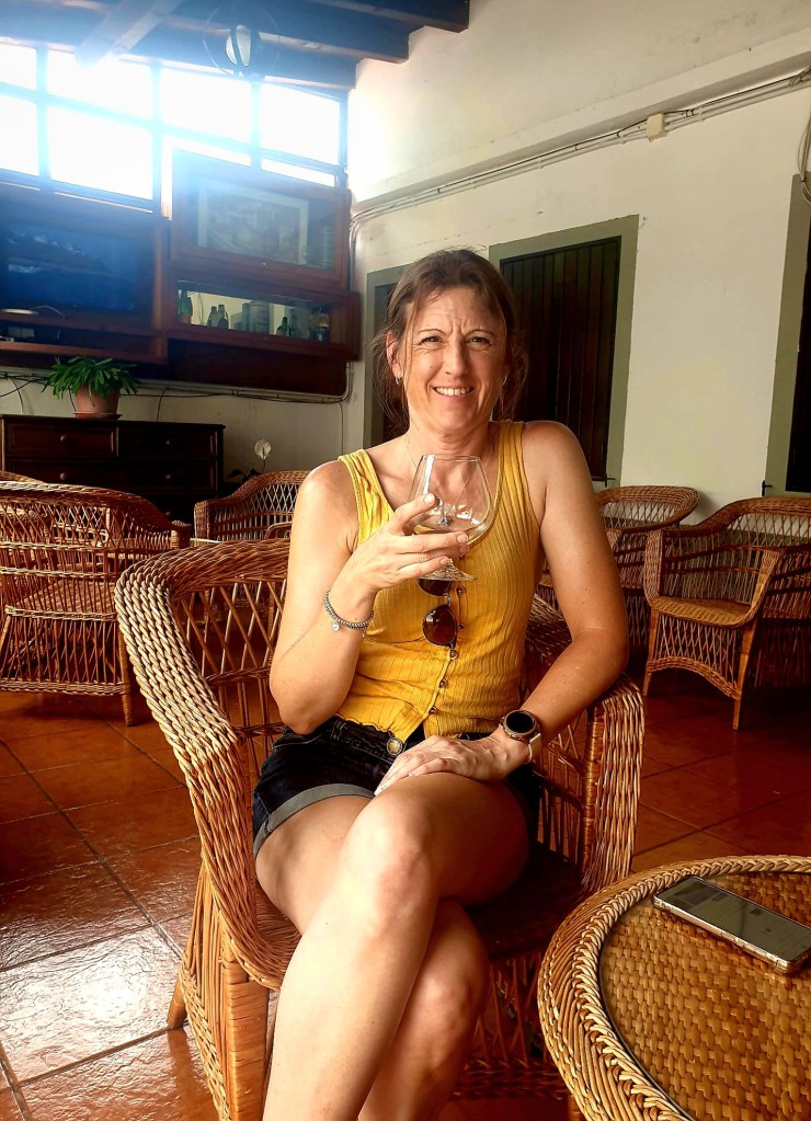
After another delicious breakfast we waited for our car to arrive. We had booked through 7m rentacar. They were supposed to deliver the car at 9am and after several unanswered calls, the car eventually turned up around 10:30am. I would definitely not recommend this company!
We had ordered a Fiat 500, which was very cute, but we soon realised it was not great for getting up the very steep hills in Madeira!
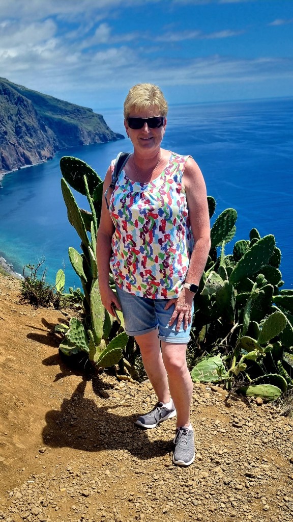
Once we had packed the car with everything we might need, we drove off. Our plan had been to stop at Cámara de Lobos, but due to my navigation skills, we missed the turning, so we carried on to Cabo Giráo.
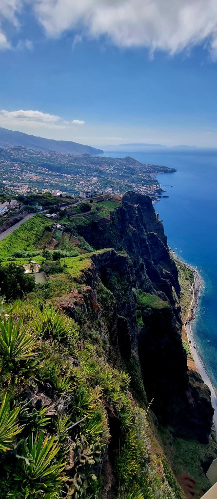
On the way, we stopped at a viewing point.


We parked the car a little distance away from the cliff and walked up.
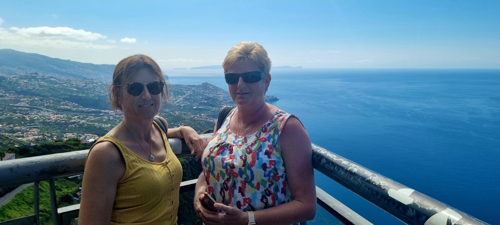
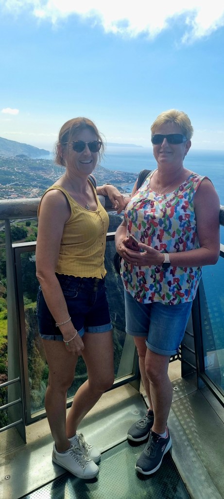
Cabo Giráo is the highest sea cliff in Madeira at 580m tall and allegedly, the second highest in the world. It has a glass viewing platform that goes out from the cliff edge so you can look directly down the cliff.
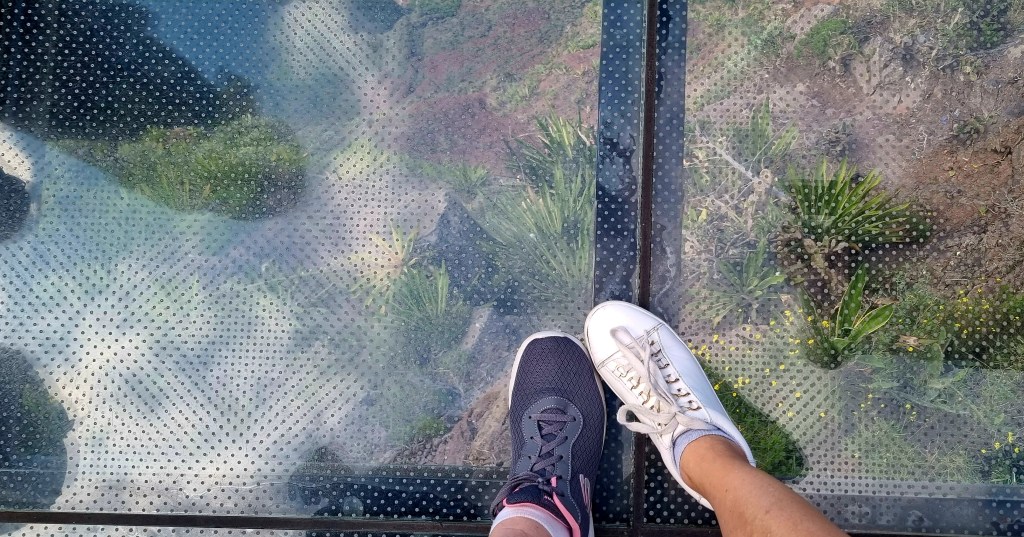
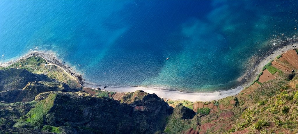
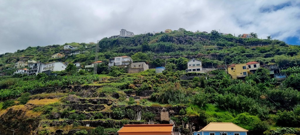
From the viewing point, you can look down onto a rock platform created when the cliff face fell into the sea many years ago. The farmers cultivate crops here in very neat terraces.
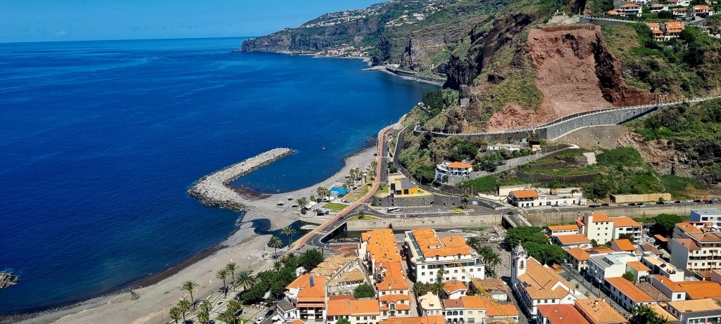
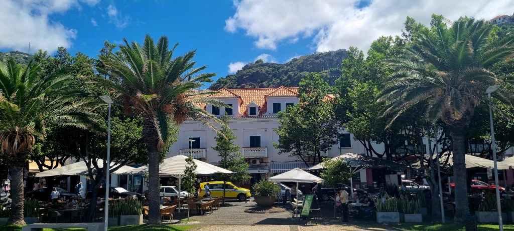
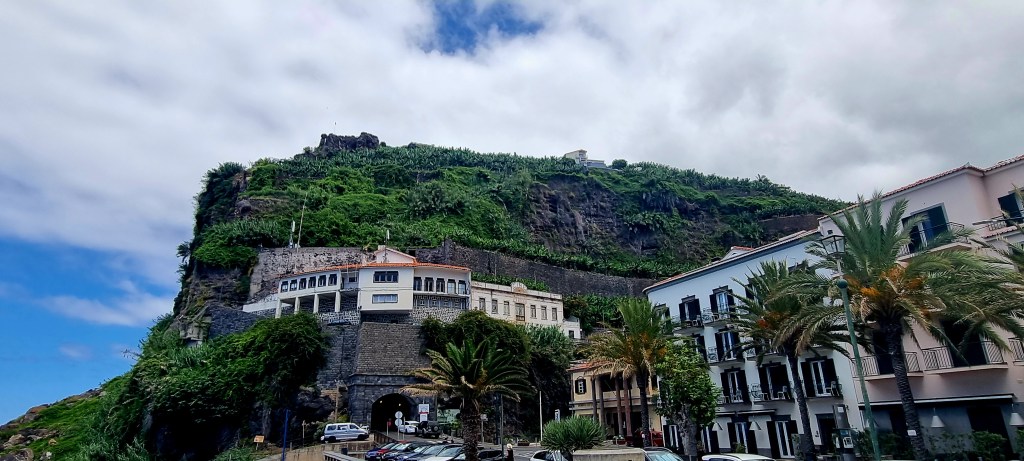
Our next stop was Ribeira Brava, which translates to ‘wild stream’. This is one of the oldest towns in Madeira and was well established as a centre for sugar production by the 1440s.
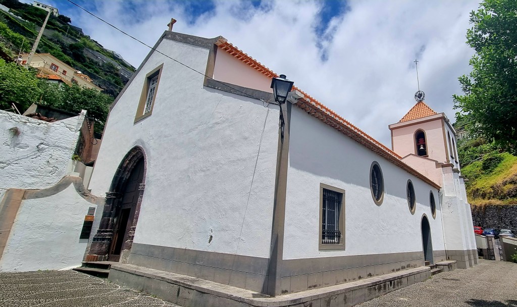
We found a car park, they are very cheap in Madeira, and walked into the town. We came across Sáo Bento church.
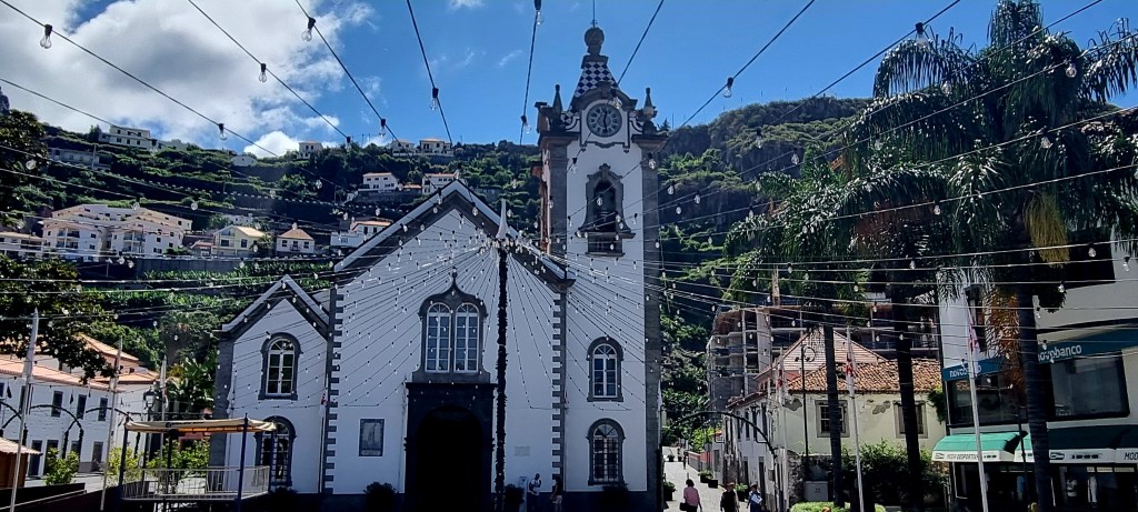

The story is that many years ago, the river was threatening to overflow and break its banks. The parish priest, along with his parishioners, carried the statue of St Benedict to a place called Bagaceira. Here, the priest threw the staff from the statue into the river where it had started to overflow, and the waters quietened down. The staff was later found washed up in the churchyard.

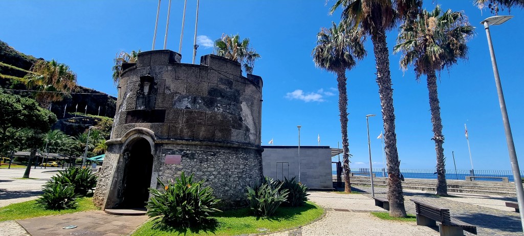
We wondered down to the seafront where there was an old Fort that is now used as a tourist office. The fort was built in 1780 by the Governor of Madeira to protect the coast from pirate attacks. This Fort of St Benedict was largely destroyed in the floods of 1803 but has since been restored.

On a cliff above the sea, there is a lighthouse, which is 34m above sea level.
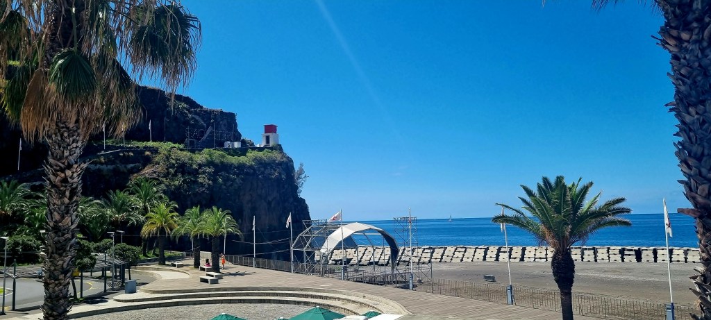
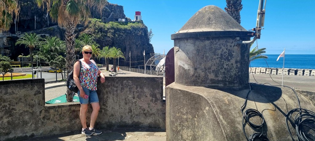
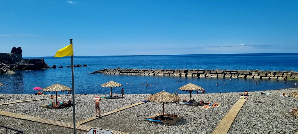
We had a walk around the town and the seafront. They had a small bathing area here, but we didn’t fancy a swim at this point.

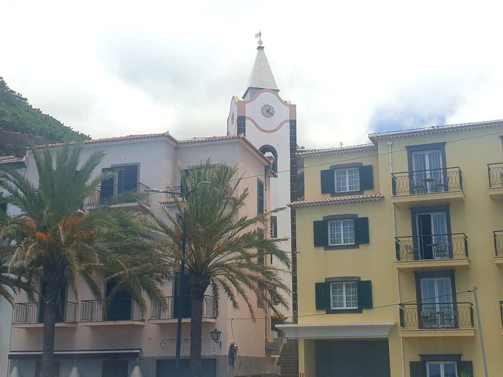
As we walked back to the car, we came across another church.

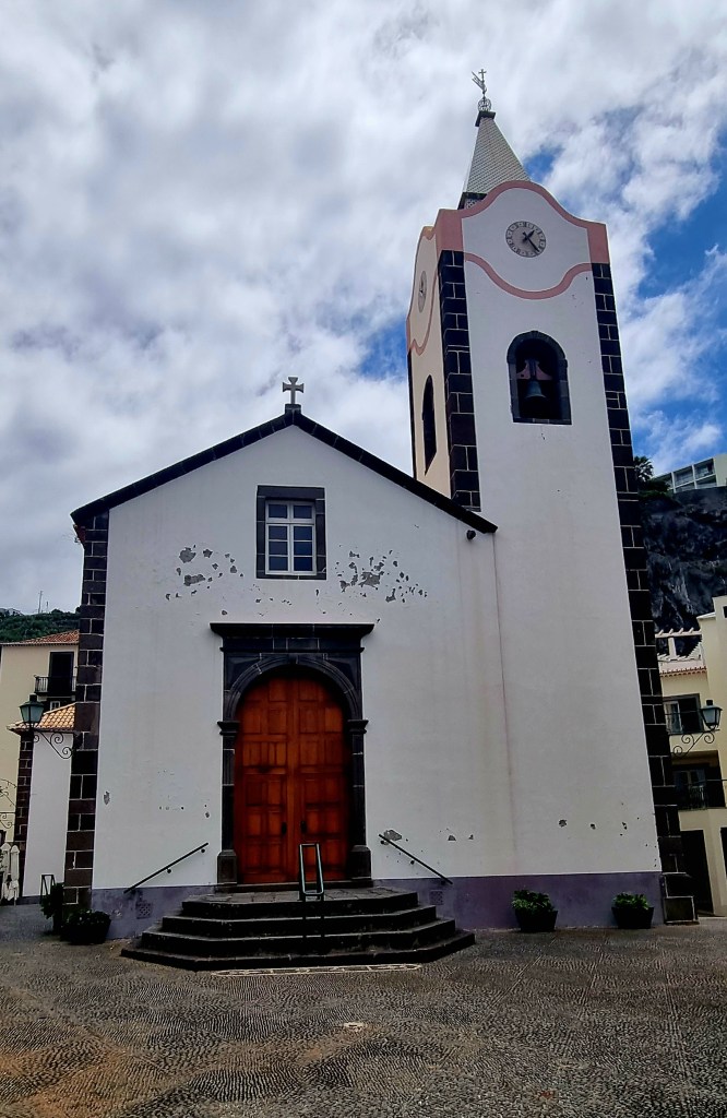
Unfortunately, Nicola slipped on the steps by the side of the church and slightly twisted her ankle. We were both pretty worried as this could mean I would have to drive!! I’m used to an automatic car and driving on the right! Luckily, though, Nicola’s foot was ok for driving, although it did hurt sometimes when we were walking.
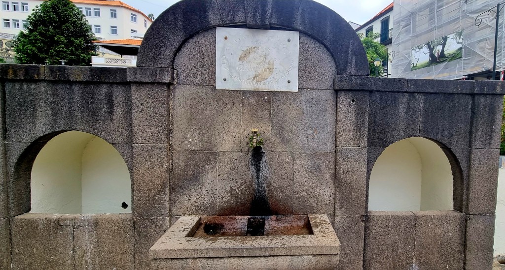
We filled our water bottles up right by the church. Throughout Madeira, they have water taps in all the towns.
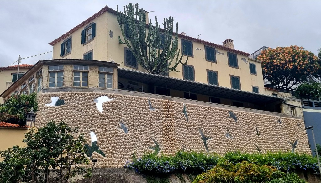
As we got back to the car, we noticed that the building over the road was very different – it was made up of lots of heads.
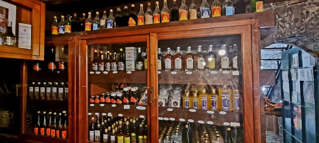
We drove on a bit further up the coast to Calheta. The main reason for coming here was to visit Engenho da Calheta, one of Madeira’s two surviving sugar Mills.
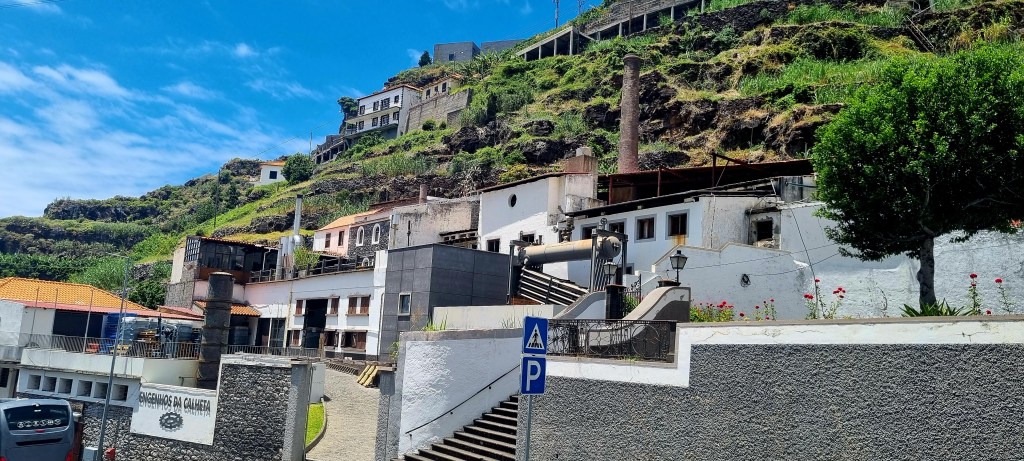
After some difficulty, parallel parking the car on a very steep hill, we walked across to the sugar mill. It was free to have a wander round inside.
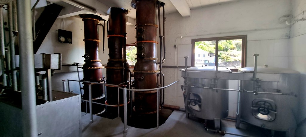
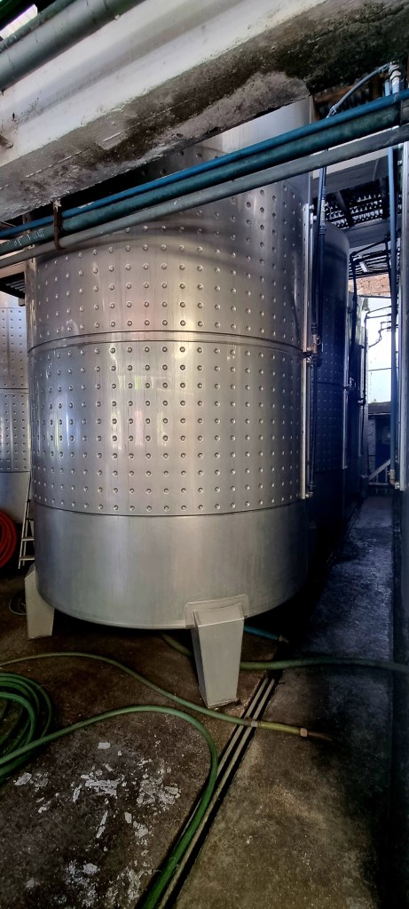
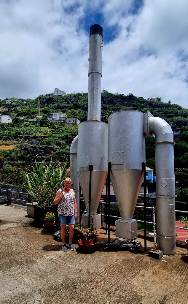
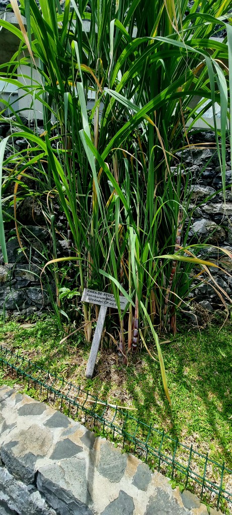
This sugar mill manufactures aguardente (rum) using distilled sugar cane, as well as producing honey. So, as we were there, I decided to try an 8 year old rum. It was really nice and smooth – and also very expensive.
The views looking out from the sugar mill were also impressive, like much of Madeira.
Next door to the sugar mill was the parish church of Calheta, Espirito Santo. This church is a scaled down version of Funchal Cathedral. It, too, has a very decorated knotwork ceiling above the alter.
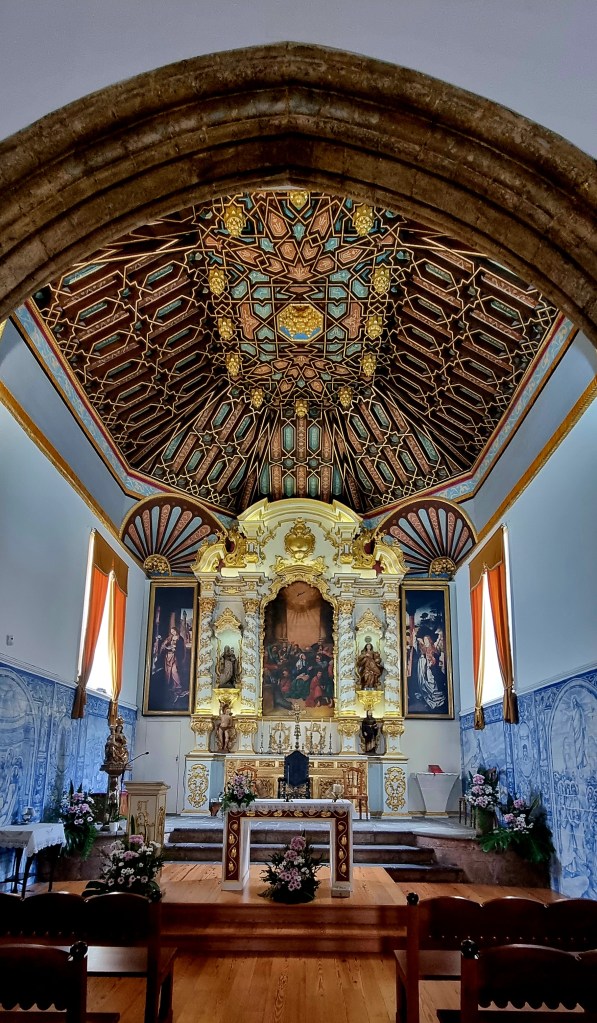
It also contains a beautiful carving of the last supper.

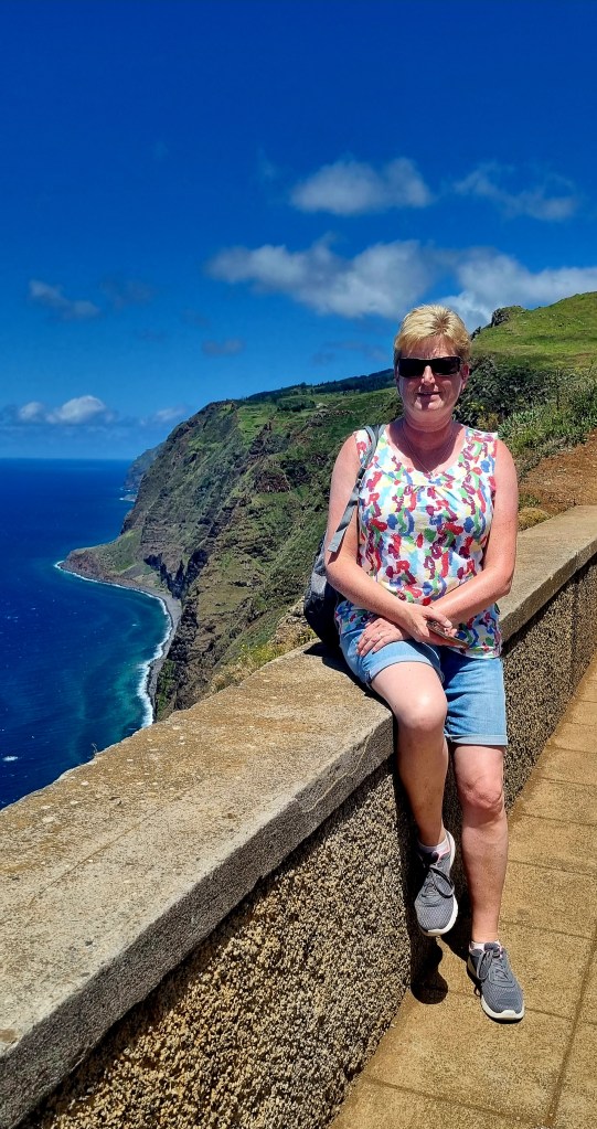
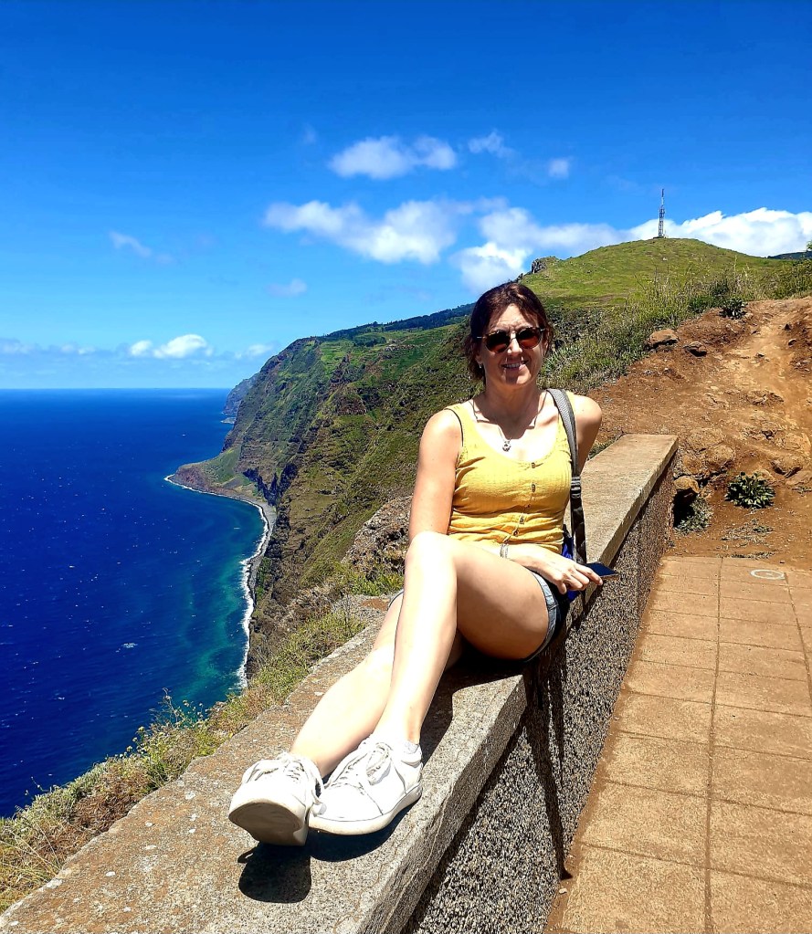
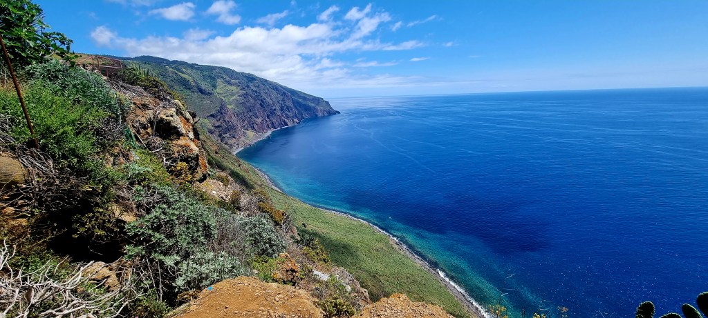
Our next stop was Ponta do Prago, which is Madeira’s westernmost point. From here, there is 500km of water before you hit land again – the Americas.
The lighthouse dates from the early 20th century and is on the cliff, 290m above sea level.
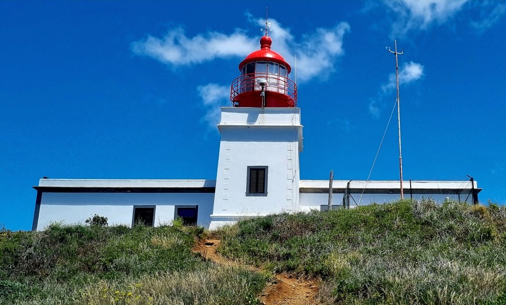

We did have a quick look inside the lighthouse, but it wasn’t particularly interesting.
The name Ponta do Pargo comes from early explorers who fished in the western waters and caught a fish species of porgy, which is similar to sea bream.

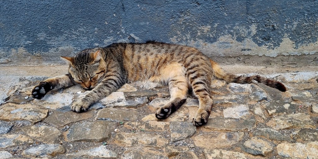
A cat was chilling just by the lighthouse.
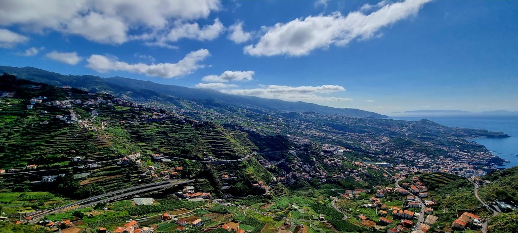
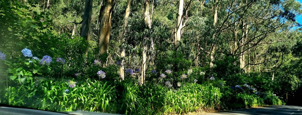
The roads in Madeira are really steep and windy – I was glad I wasn’t driving. They were also quite pretty, with lots of flowers and woodland, including eucalyptus trees, by the sides of the road.
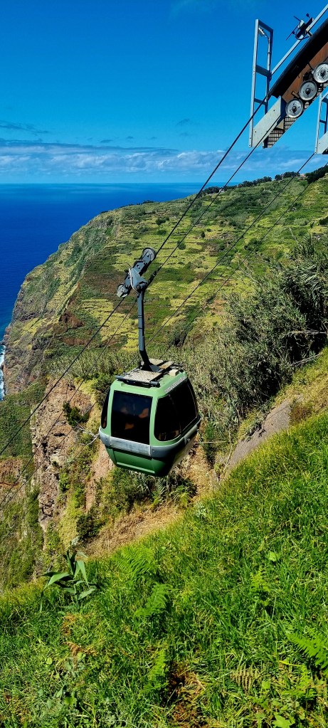
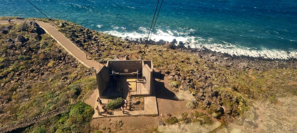
Our final stop of the day was Achadas da Cruz. We wanted to come here to go in the cable car and also to explore the farm huts in the area. The cable car glides over the edge of a 450m cliff, down to a rocky beach below. This is one of the steepest cable cars in Europe. It runs on a 98% slope, with a travel time of around 5 minutes on a 600m long wire.
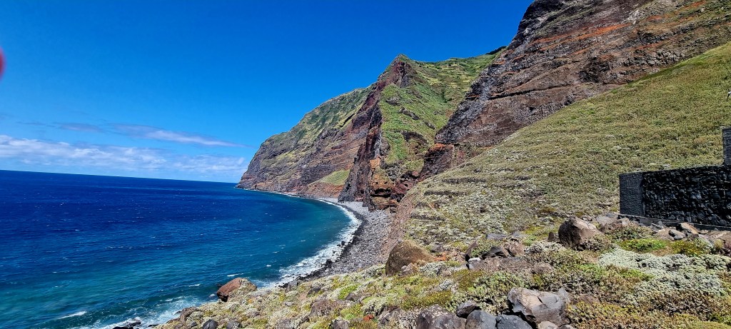
Local farmers have little houses down here, and they work the land. I am not sure if people live here permanently as you are allowed to walk around the tiny ‘village’.
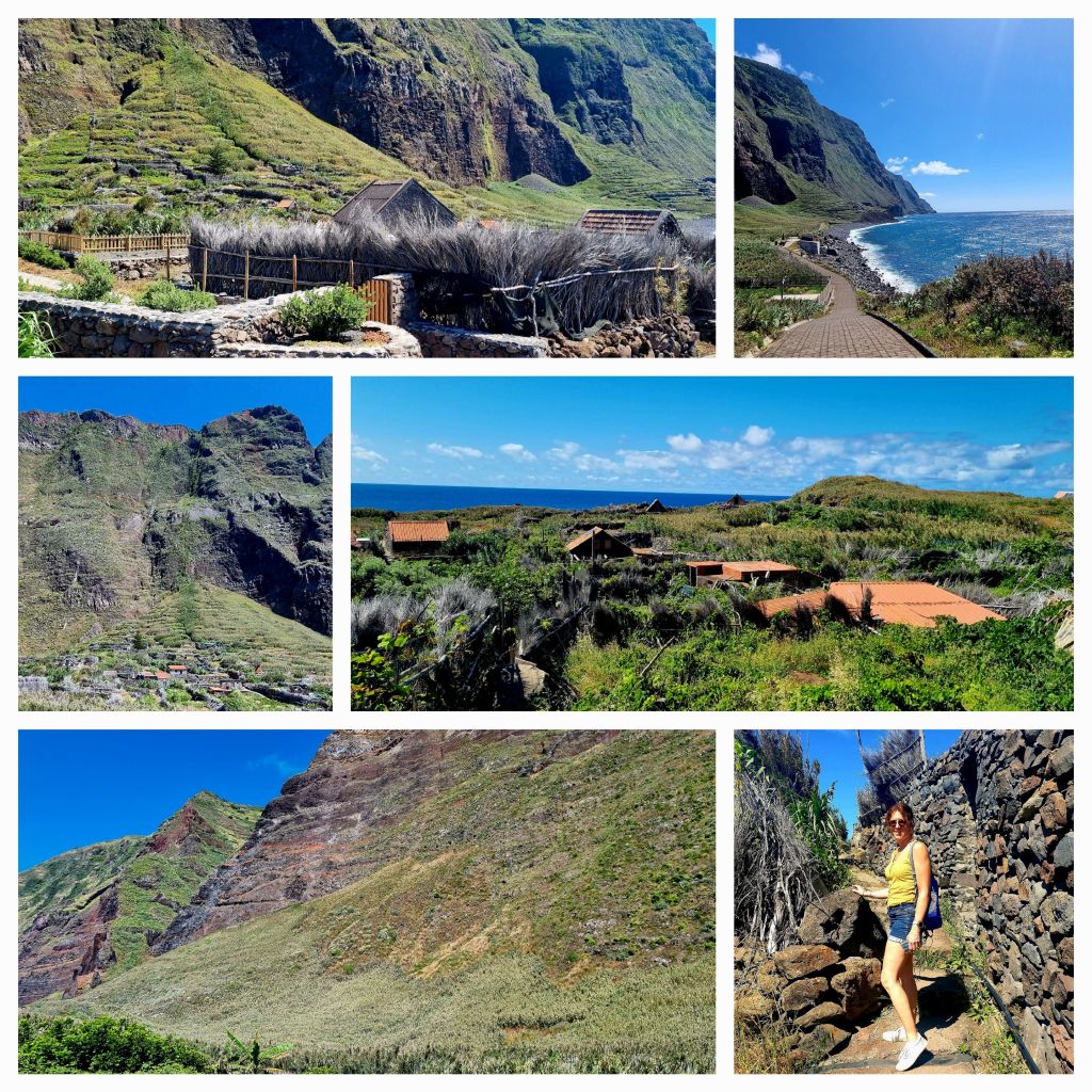
The high agricultural productivity of this area was one of the main reasons for the creation of the cable car, which helps farmers reach the fields and transport their harvests.
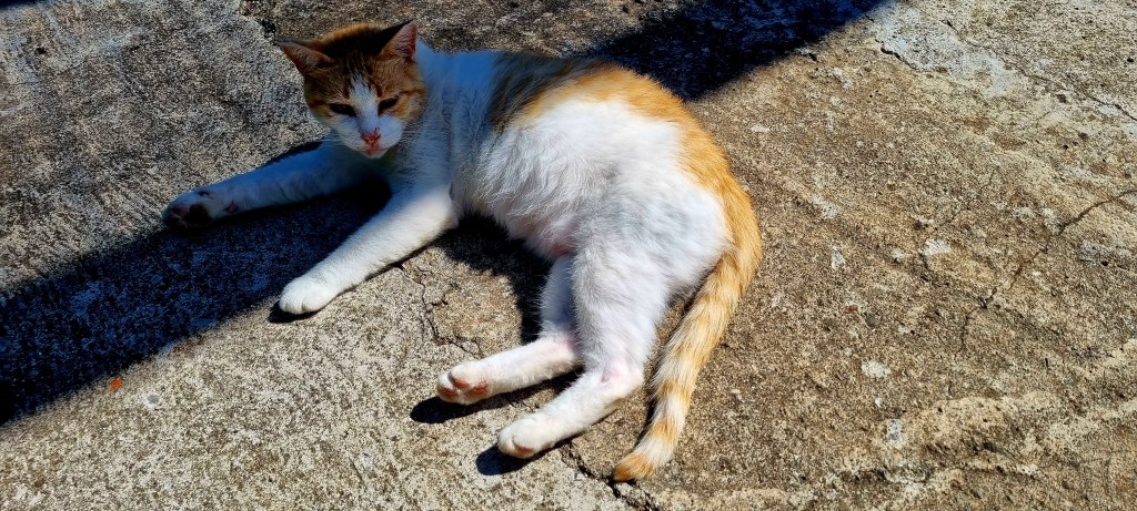
At the top, when we got back out of the cable car, I found another furry friend.
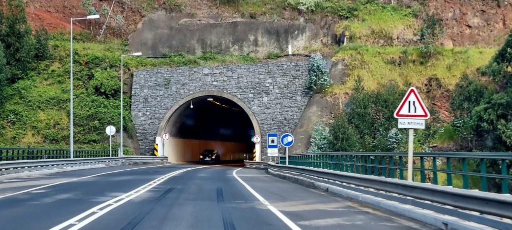
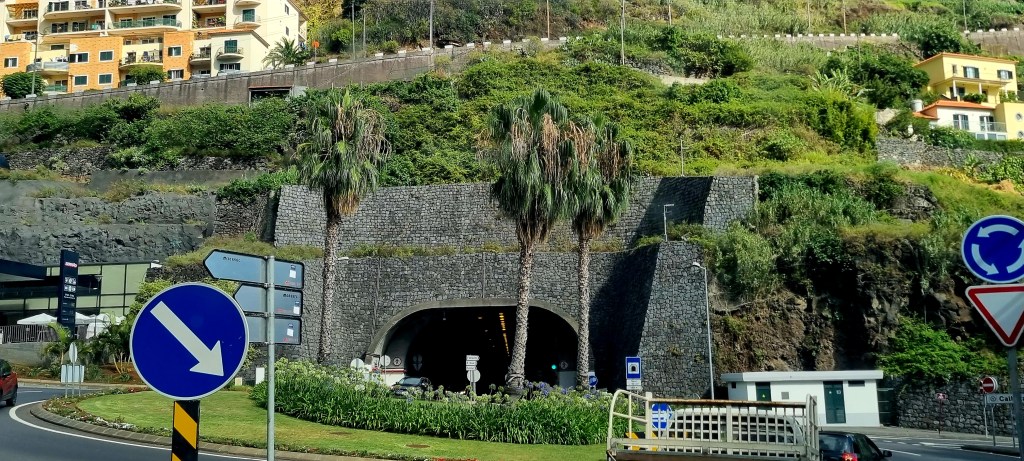
From here, it was time to head home, around an hour’s drive. Madeira has an interesting road network with over 150 tunnels cut into the rock, taking you through the mountains. The tunnels are around 45km in length in total, and the longest one is 3km long.
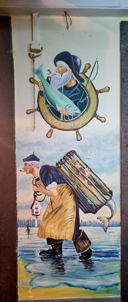
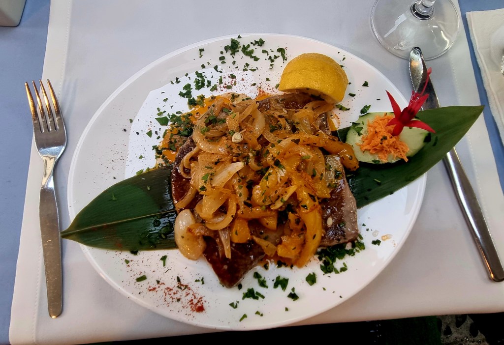
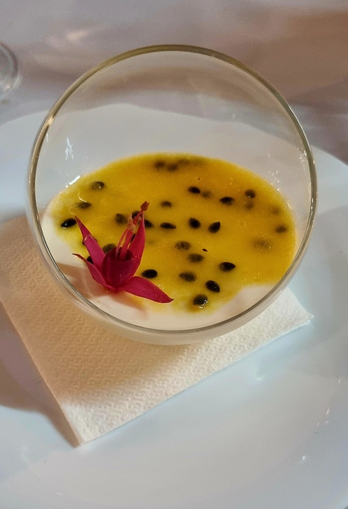
After arriving home and a quick freshen up, we got the number 19 bus to Santa Maria Street. We picked a fish restaurant for dinner, and the food was delicious.
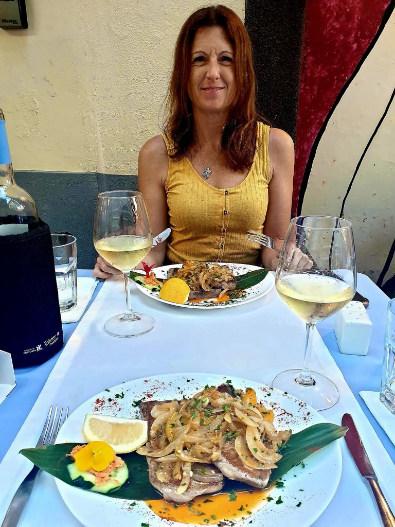
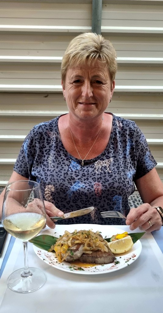
Santa Maria is a great street for dinner as there is a lot going on and a lively atmosphere.