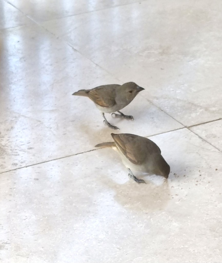
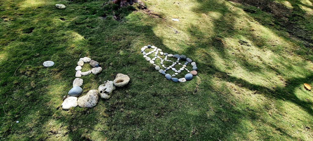
We had hired a car for two days, so we made sure we were all up and ready for 9am. We had a slice of toast before leaving, and the birds came for the crumbs.
Mags and I were designated drivers, so we had to have a permit each to drive in Barbados, which lasts for 2 months.
Luckily, the car was automatic, and they drive on the same side of the road as in the UK.
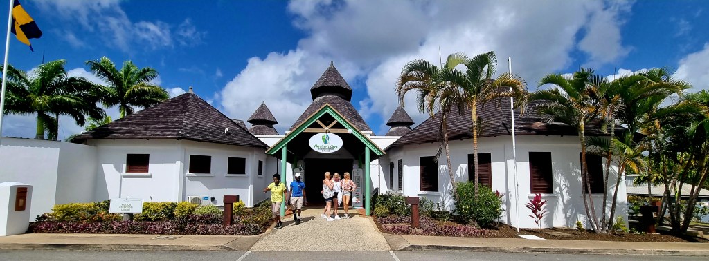
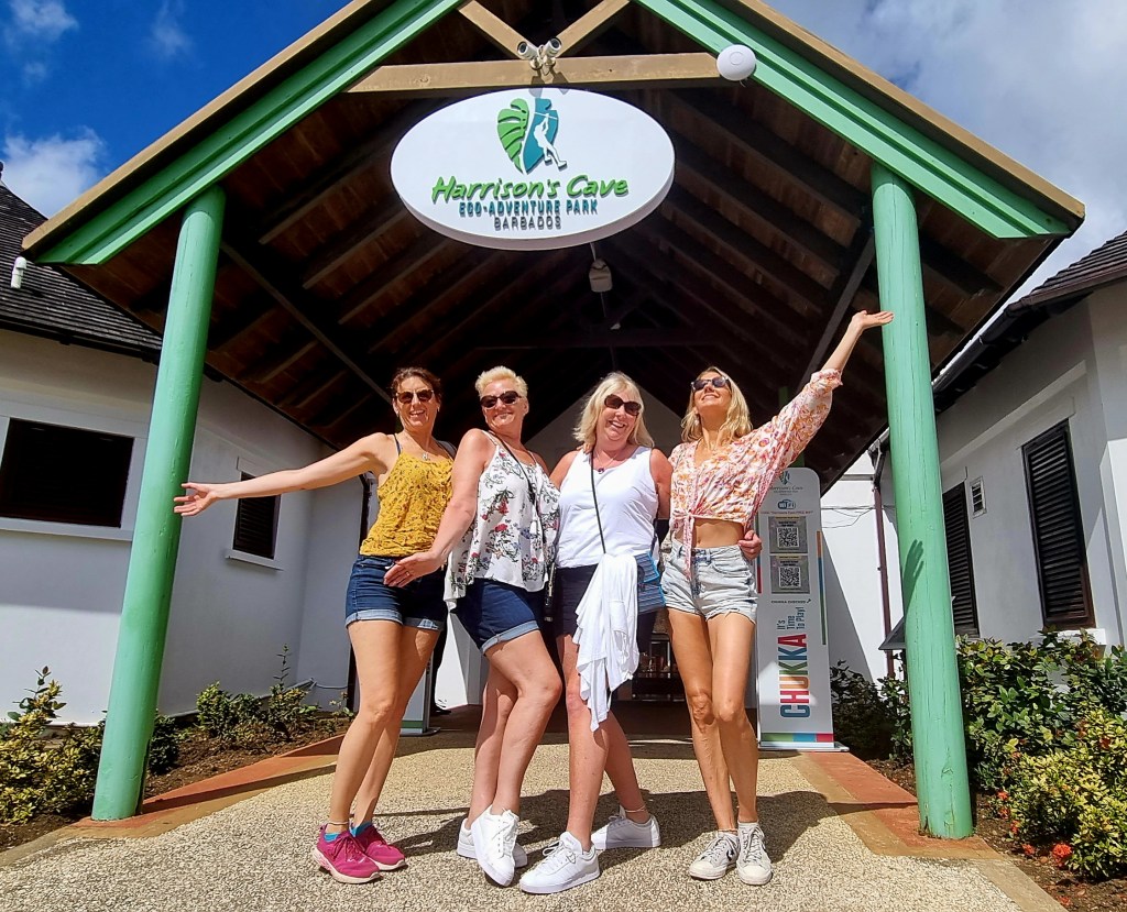
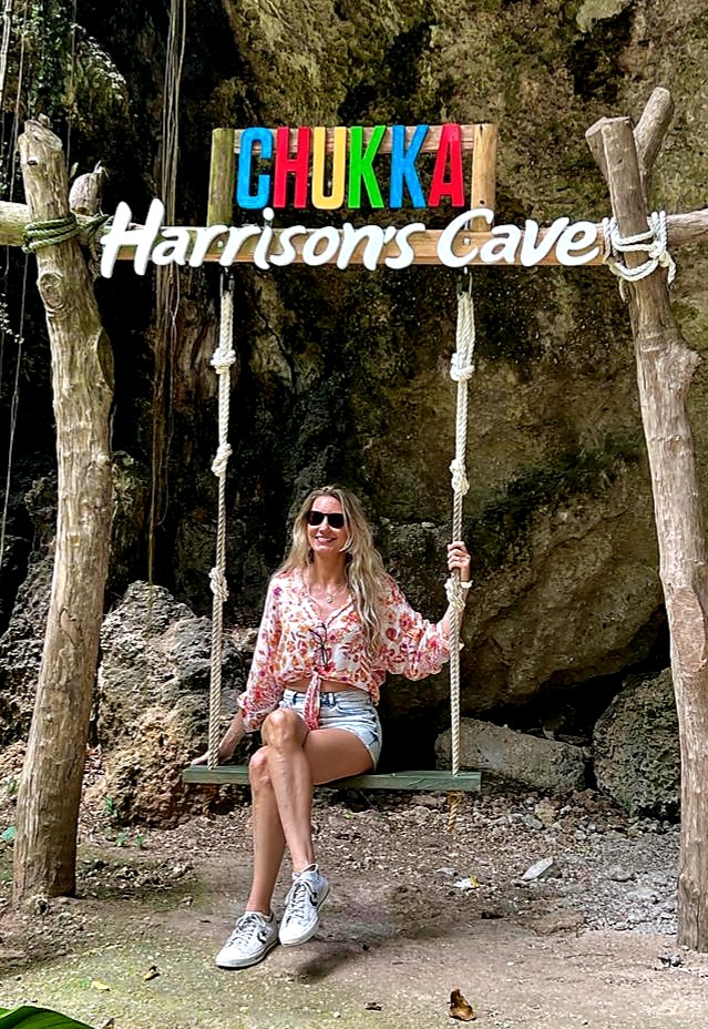
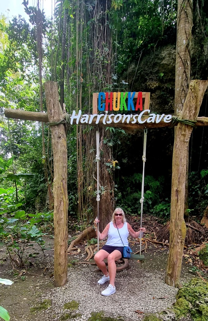
We set off, with Mags driving, to Harrisons cave, which was about a 30 minute drive. The roads here have a lot of potholes, and some of them are quite narrow.
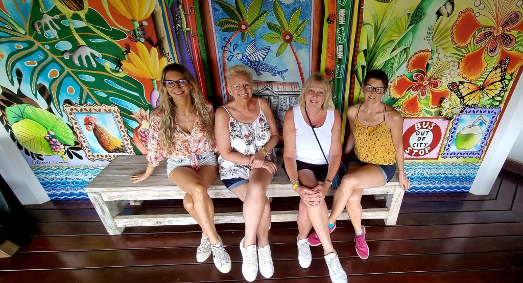
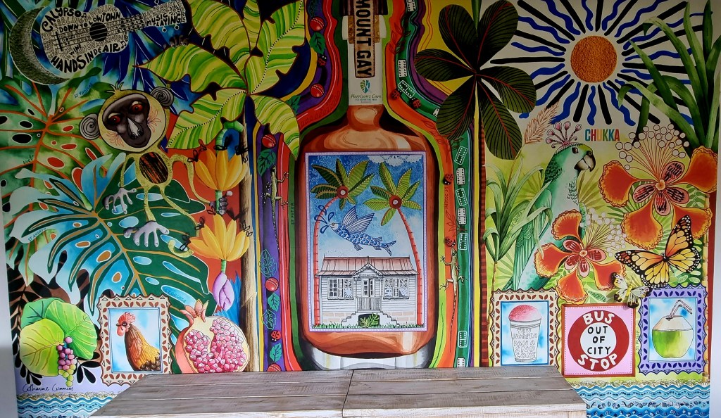
Inside the waiting area, they had a lovely mural and lots of rum.
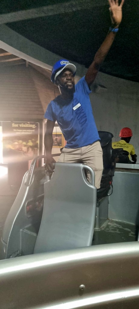
Our tour guide was Ashan, he was really lovely and friendly from the start.
At the beginning of the tour, we watched a couple of videos. One was all about the island of Barbados and the other one about Harrisons cave.

Barbados was initially inhabited by Native Americans. It was discovered by the Portuguese who named it Los Barbados, but they didn’t stay as they didn’t see the potential of the island. Los Barbados is loosely translated as ‘bearded men’, and this came from the beard fig trees that were on the island.

The English came to the island in 1625 and began to colonise the islandas they saw the opportunity for agriculture. They originally had tobacco and cotton plantations. During the 1630s, sugar cane was introduced into the agriculture. The Dutch supplied the slaves and machinery for the sugar cane plantations.
Barbados became known for its production of sugar cane, but then several disasters hit. There was a locust plague in 1663, a huge fire in Bridgetown and a major hurricane in 1667, and also a drought in 1668. By 1720 Barbados was no longer a dominant force in the sugar cane industry.
Slavery was abolished in 1834 and Barbados gained full independence in 1966 and a Barbadian monarchy was established. The Barbadian monarchy was abolished in November 2021 when Barbados became a Republic within the Commonwealth.
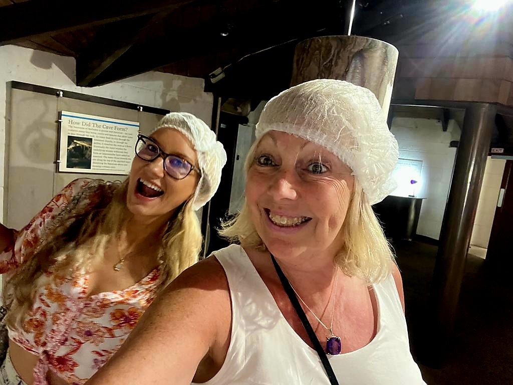
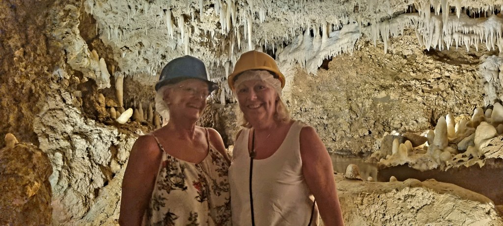
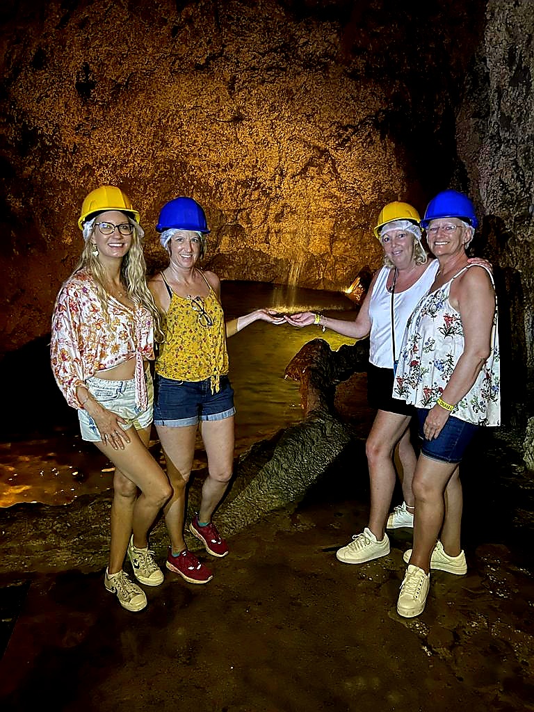
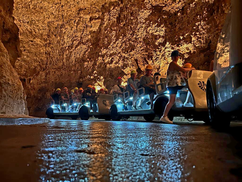
After the videos, we went down in an elevator to the cave entrance. We were all given hard hats to wear as the tour is via a tram that goes through the cave. We were lucky and got front seats.
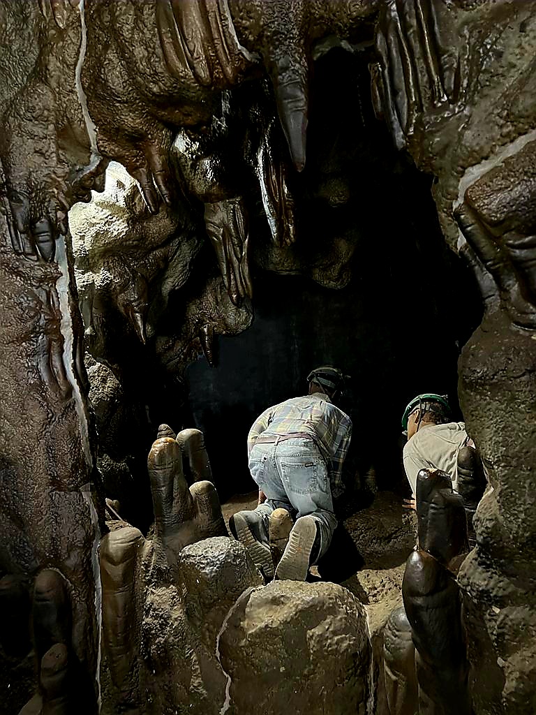
As we started to go in the cave, we went through the Boyce tunnel. This is a man made tunnel named after Noel Boyce, who broke ground to open the caves’ natural passage ways.
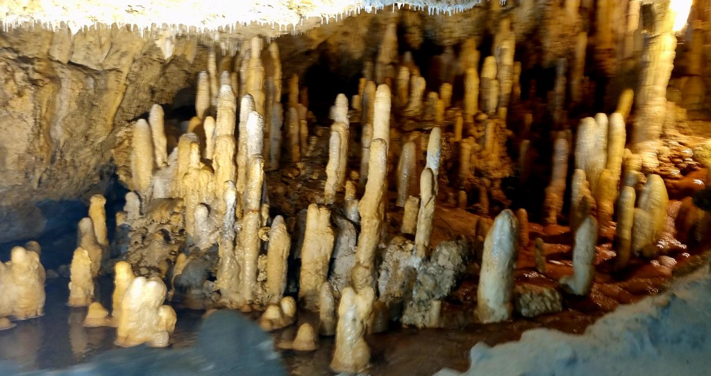
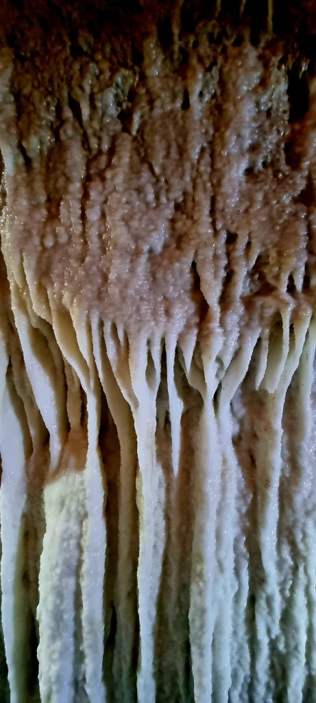
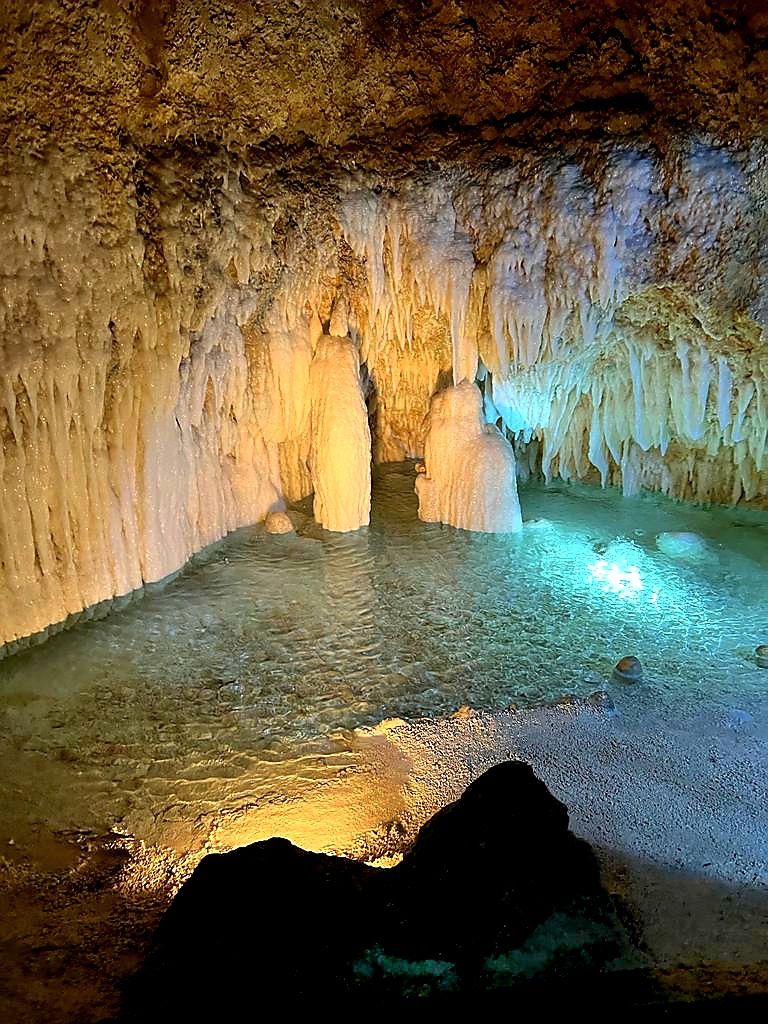
The first area we came to is known as the village, as all the stalagmites look like people gathering together.
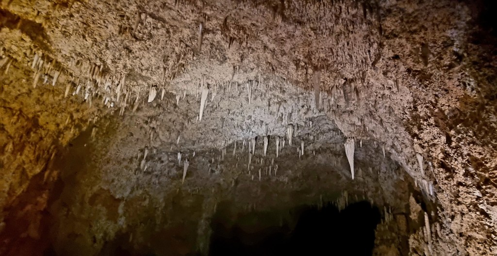
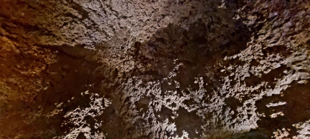
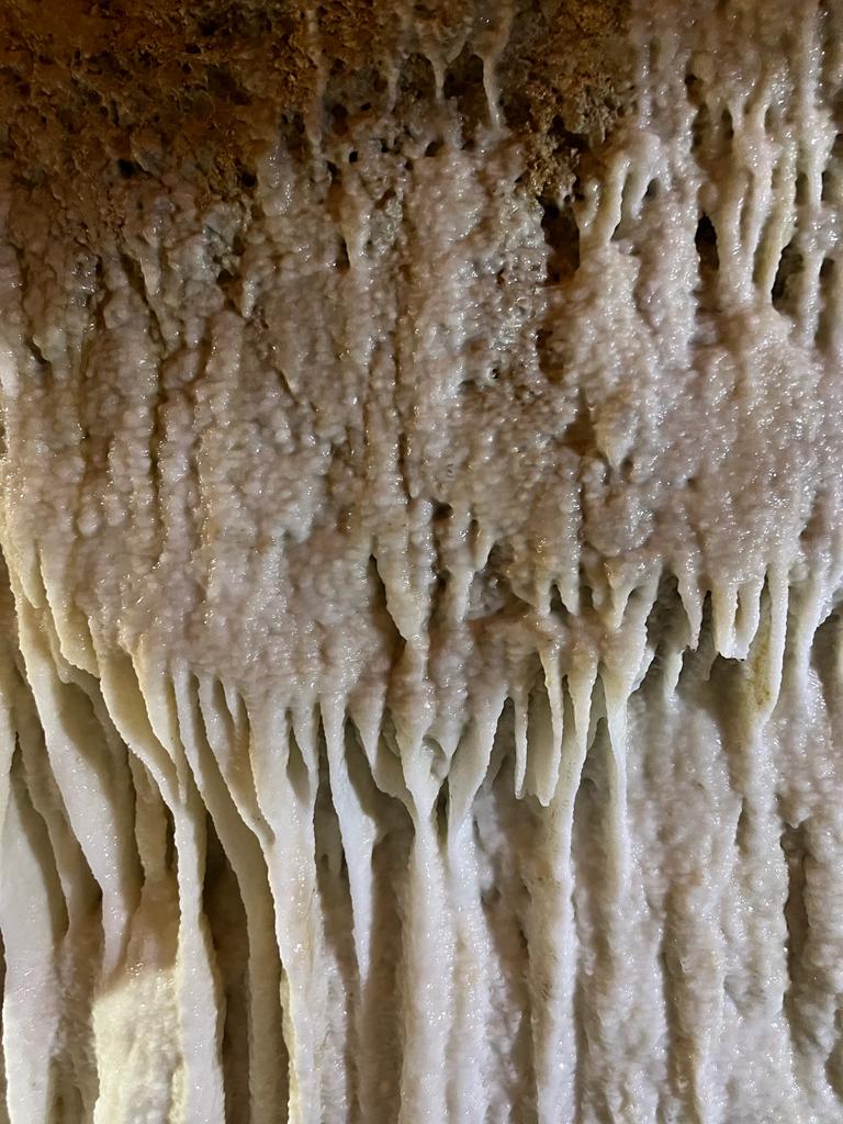
The cave system is around 2.3km long, and the inside temperature is about 27 degrees celsius. You also get quite a lot of water drips.
The next stop was the Great Hall. This is a large cavern measuring 15m high.
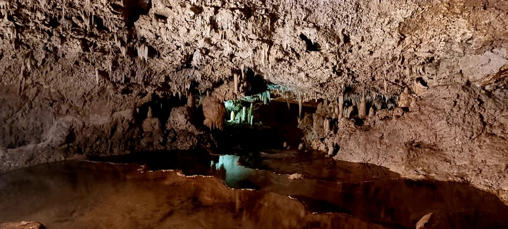


We also passed via the altar.
The cave system provides naturally filtered water for the whole of the island and are situated at 210m above sea level.
The cave was mentioned in the 18th century, but it wasn’t until 1970 that Ole Soreson, a speleologist, made a survey and mapped the cave.
Although Barbados is an island, it is not made from volcanic rock. It is formed from sandstone rock and coral that has been pushed out of the sea by ancient volcanic action.
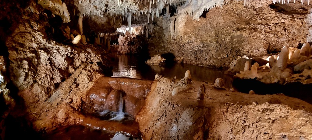
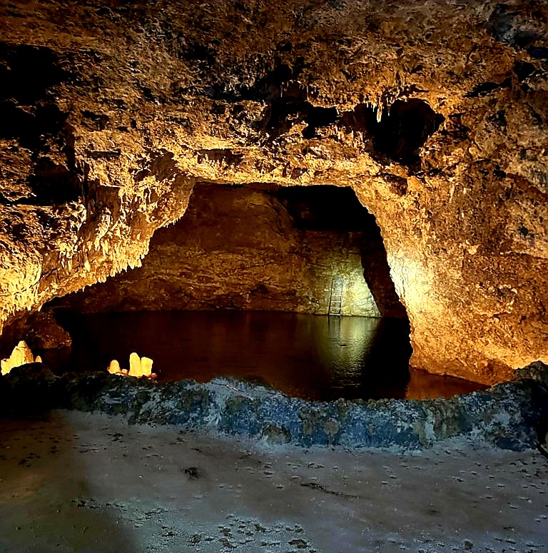
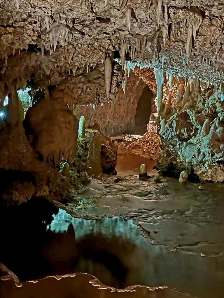
We continued on our tram tour and the next stop was Explorers entrance. This is where the first explorers entered the cave system, and you can see the steps in the distance. The pool below is up to 9ft deep in places.
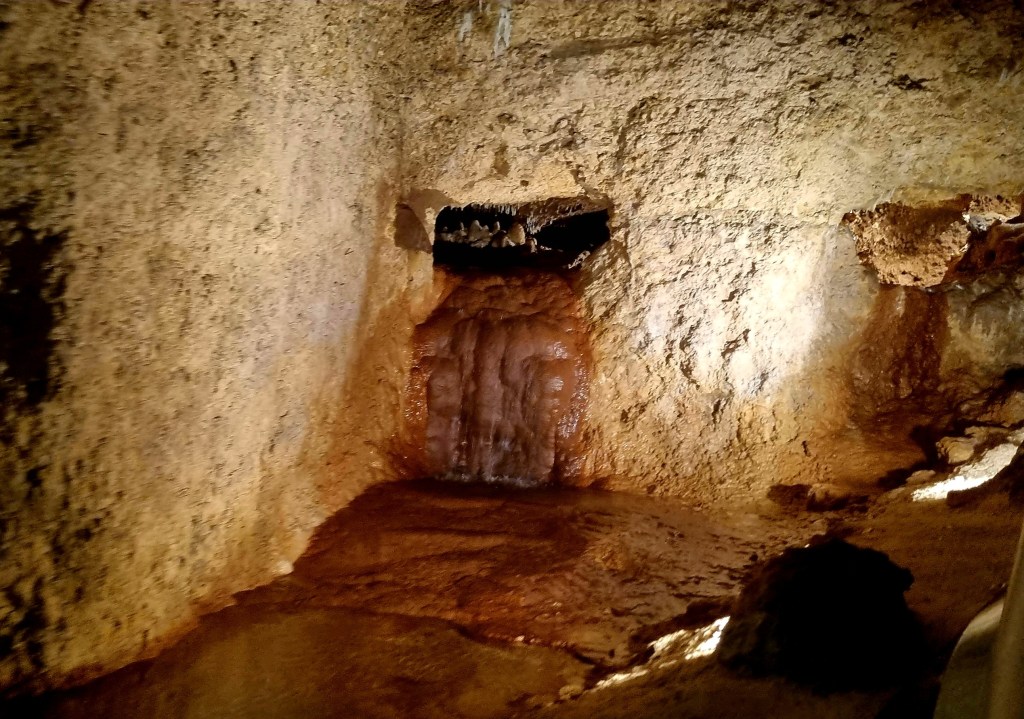
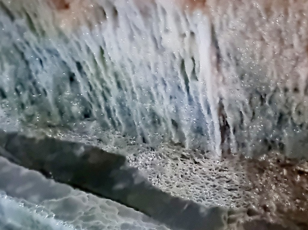
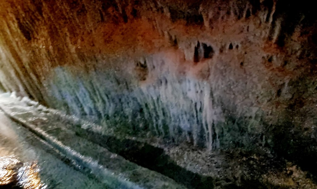
We then passed an area known as ‘the flow’. This is an area where the water is continuously running down the wall rather than dripping.
There is also a place called the Chapel but we didn’t get a good picture of it. Apparently, a lot of couples propse at this point of the tour.
We stopped at the mirror pool, which was really beautiful.
You could see the water coursing along in streams along the cave floor.

We then came to an area called the waterfall, and we got out of the tram to take some photos.
The limestone rock in Barbados is very porous and fractured and contains many cracks and fisures that allow the water through. The water dissolves the rock as it flows through it and forms stream caves.

We were now coming to the end of the tour. It was a great tour, and Ashan was so energetic and made it very personal as he grew up in the area.

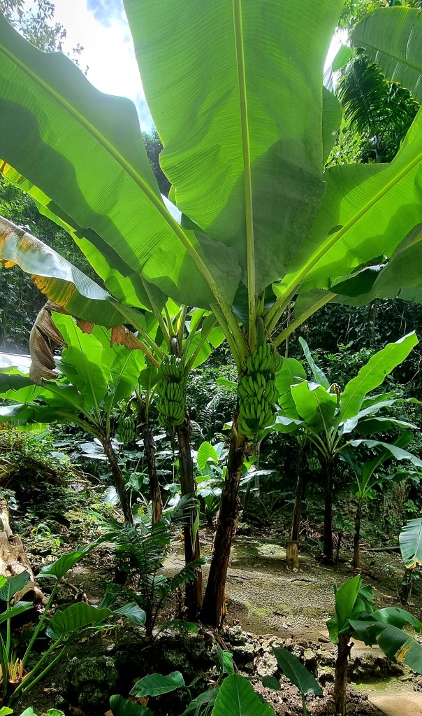
Following the cave tour we had a short walk around the gardens. We saw some banana trees. Once the trees have fruited they are cut down as each tree only produces one set of fruit.
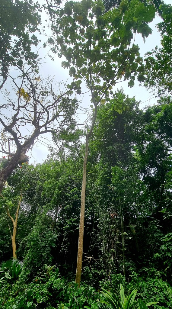
We also saw a trumpet tree. These trees grow really quickly, several feet per year. The leaves can be made into a tea that is good for hypertension and diabetes and asthma.
The area above and around Harrisons cave is a protected area, and you are not allowed to build on it. The soil above the underground system is only a foot deep in some places.

We had a bit of lunch at the caves – just some veggie samosas and sweet potato chips.
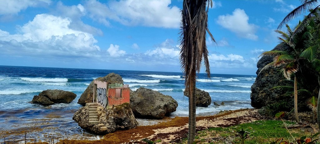
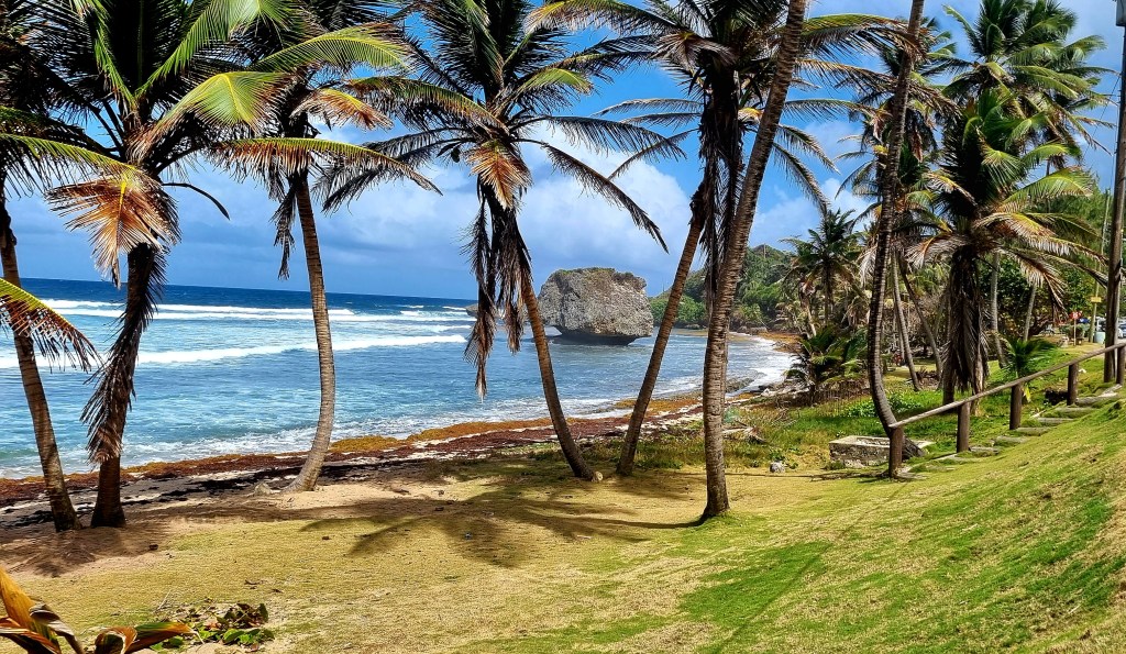
After Harrisons cave, it was my turn to drive, and we headed east to Bathsheba.
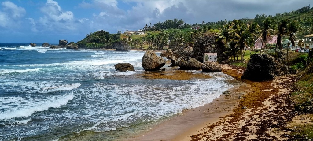
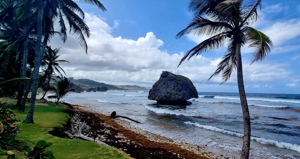
Bathsheba is home to a small fishing community but is also popular for surfers and its rock formations.
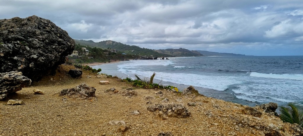
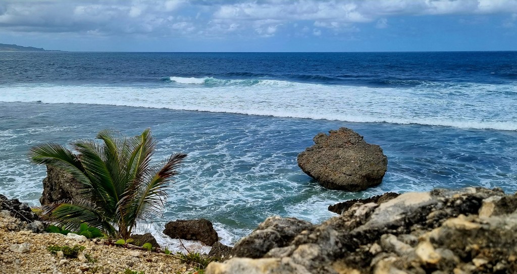
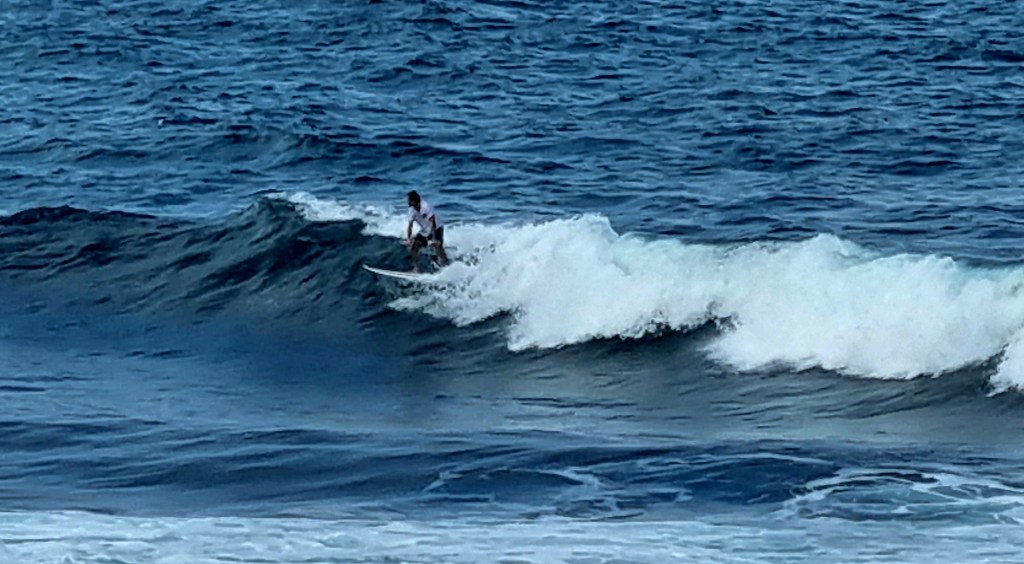
We walked over to the soup bowl which is the famous beach for surfers. We watched a couple of surfers for a while.
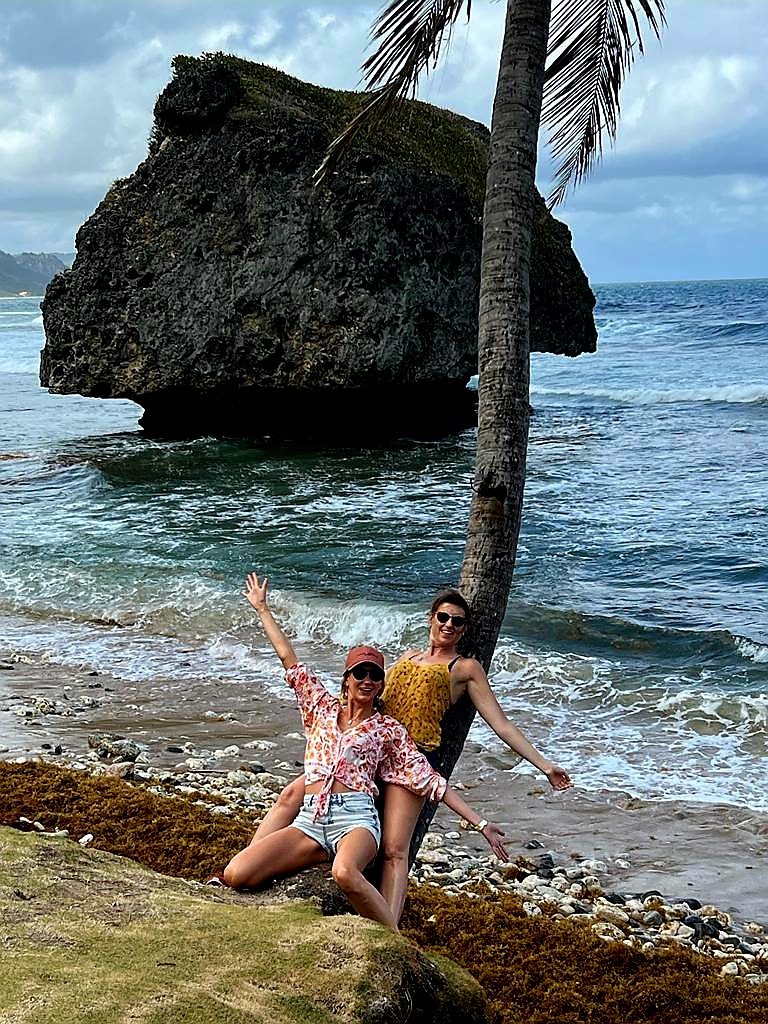
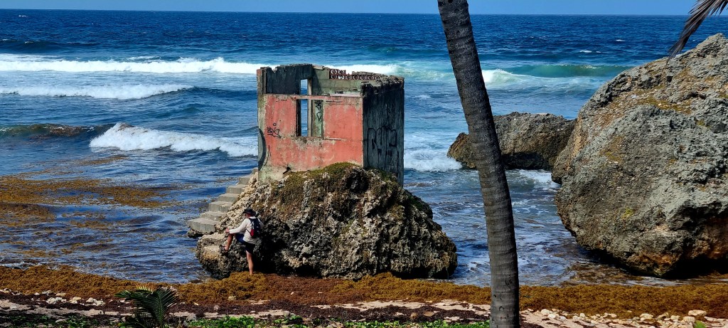
We then walked along the coast to the famous mushroom rock. These rocks are coral rocks that have broken away from the coral reef and are then continuously undercut and eroded by the waves.

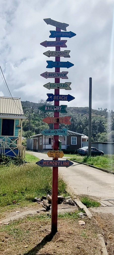
We had a little wander around the very small town.
From Bathsheba, we decided to head north to Animal Flower Cave. Unfortunately when we got there we found out it was closed on a Monday. So we decided to head to Holetown to do some supermarket shopping at Massies. The food was so expensive but we bought some bits for a salad.
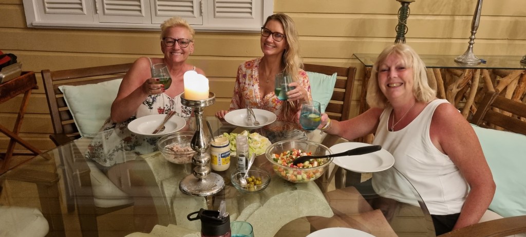
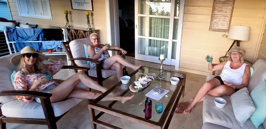
When we got back to the apartment, we had a drink on the balcony as the sun went down.
Mags kindly made a delicious tuna mayo salad.